Elevation of Vista Rio Rd, Highland, CA, USA
Location: United States > California > San Bernardino County > Highland >
Longitude: -117.14205
Latitude: 34.1160928
Elevation: 484m / 1588feet
Barometric Pressure: 96KPa
Elevation Map:
Satellite Map:
Related Photos:

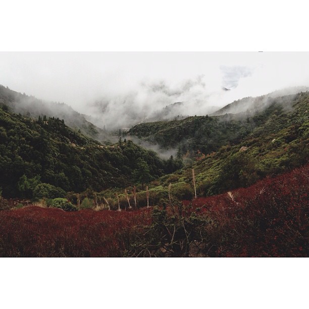
Islands in the Mist

prcssd. combat camera. san bernardino, ca. 2011.

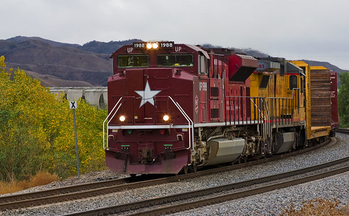
ATK 714E @ El Casco

Santa Ana River Valley

SD Trucks In The Shops Over The Pit

the view from here [7:52]

sunny rear view

Back From the Desert

What a view this morning!

Not Too Shabby

Santa Fe Main Leaving San Bernardino

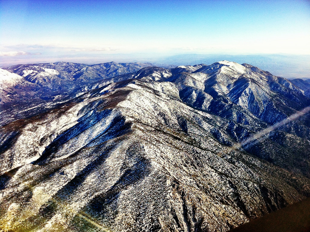
Above the Clouds

Original to these lands.

Live Oak Farms, Wagon 12-9-12

Mountains from Panorama Point 11-18-12
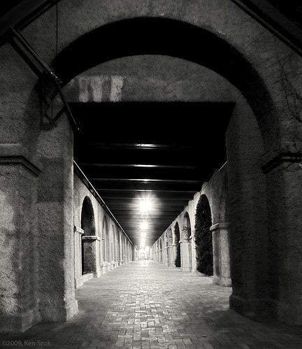
Station Corridor

Swim Lane

Living Large, Canyon View, Redlands 5-19-13

Daylillies (2) 7-7-12
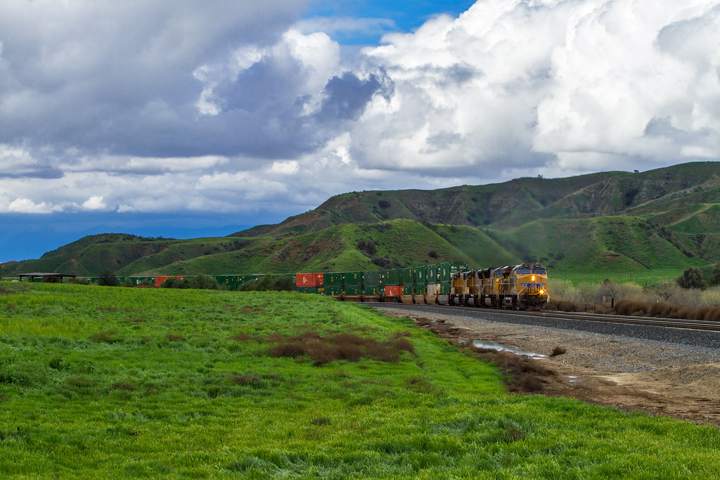
Katy through San Timoteo
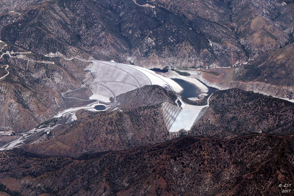
7 Oaks Dam

San Timoteo Nature Trail

UP 7492

Snaking Up Beaumont

Mill Creek Canyon

Mill Creek - Mentone, CA, USA

Morey Mansion of Redlands

Rim of the World Highway

Yucaipa California

Sunset at Rim of the World

Above it all
Lush Hills

Garnet St. Bridge - Mentone, CA, USA
3.12.11 - Big Bear

Overlooking the Inland Empire

写真 2017-12-09 14 48 17

Social Gathering, Ford Park, Redlands, CA 8-12

Good Intentions
San Bernardino National Forest, California

Orange Saddleback
Topographic Map of Vista Rio Rd, Highland, CA, USA
Find elevation by address:

Places near Vista Rio Rd, Highland, CA, USA:
7975 Vista Rio Rd
30629 Mc Lean St
Henslee Drive
7131 Fairwood Ct
6747 Barnard Ln
7223 Church St
7013 Roddick Dr
7042 Dover Ct
Highland Grove Elementary
6606 Orangewood Rd
6723 Grove Ave
28009 Pasito St
Stratford St, Highland, CA, USA
4040 Piedmont Dr
2867 Ridgeview Rd
Small Canyon
3883 Croydon St
Center St, Highland, CA, USA
Highland
27250 Cypress St
Recent Searches:
- Elevation of Blattner Rd, Philo, CA, USA
- Elevation of Polzela, Slovenia
- Elevation of Gorod Kislovodsk, Stavropol Krai, Russia
- Elevation of Kislovodsk, Stavropol Krai, Russia
- Elevation of Eagle Stone Drive, Eagle Stone Dr, The Preserve at Corkscrew, FL, USA
- Elevation of Formby Ct, Myrtle Beach, SC, USA
- Elevation of Hobbyhorse Ct, Dover, DE, USA
- Elevation of Horseshoe Ln, Dahlonega, GA, USA
- Elevation of Village Point Dr, Daphne, AL, USA
- Elevation map of Kabardino-Balkarian Republic, Russia