Elevation of Barnard Ln, Highland, CA, USA

Location: United States > California > San Bernardino County > Highland >

Longitude: -117.16894

Latitude: 34.1310036

Elevation: 532m / 1745feet

Barometric Pressure: 95KPa

Elevation Map:

elevation map of Barnard Ln, Highland, CA, USA

Satellite Map:

Satellite map of Barnard Ln, Highland, CA, USA

Related Photos:

california up trains unionpacific ge railroads sanbernardino cajonpass u50c
A Face Only UP Could Love
nikon san running springs d200 bernardino 2870mmf28d aplusphoto flickrlovers
A Mixture of Fog and Clouds
california sunset mist mountains green clouds landscape nikon hills arrowhead sanbernardino rimoftheworld jameshale jimhale shutterjack
Islands in the Mist
california camera signs postprocessed texture sign photoshop square concrete typography airport graphic eagle text letters norton sage bunker numbers signage type weathered airforce usaf processed vignette radar brac blockhouse typographic sanbernardino supersaturated inlandempire postprocessing reconaissance recon combatcamera lensblur secretrecipe digixpro eyetwist signaltonoise nortonafb prcssd eyetwistkevinballuff decomissionedairforcebase
prcssd. combat camera. san bernardino, ca. 2011.
sevenoaksdam santaanariver
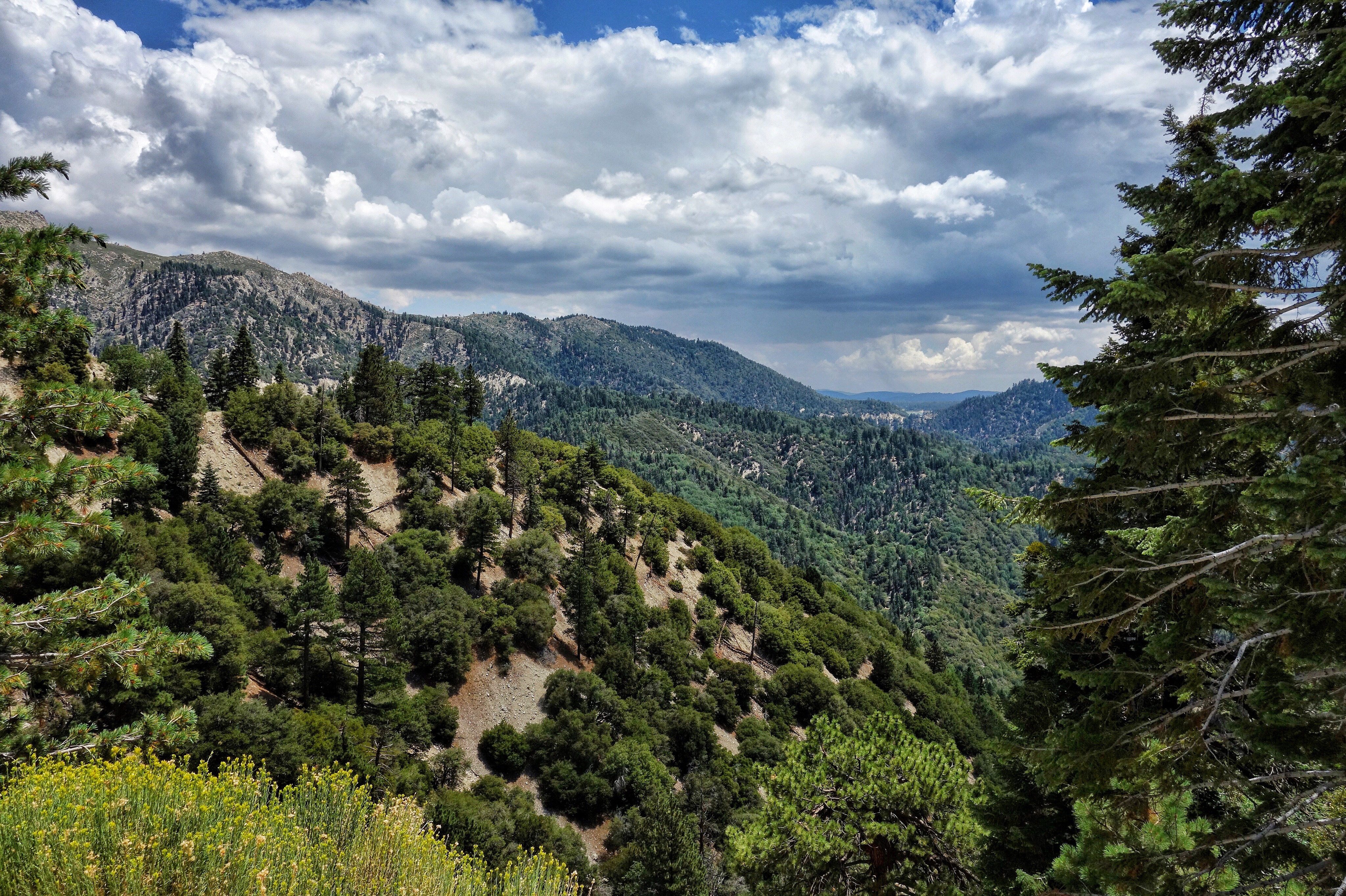
Santa Ana River Valley
california santafe trains shops rebuild railroads sanbernardino emd atsf rce f7b
Not So Beautiful Boosters
SD Trucks In The Shops Over The Pit
cliff lights city socal sunset blue
Overlooking the Inland Empire
california flowers blue green floral field yellow vertical gold one flora sunflower behind rearview peggy yucaipa ©allrightsreserved ©peggyhughes
sunny rear view
instagramapp square squareformat iphoneography uploaded:by=instagram lofi
May your day be blessed and full of strippers and burritos or pizza Birds ???? eye ???? view #330
flickrandroidapp:filter=none galaxys4
What a view this morning!
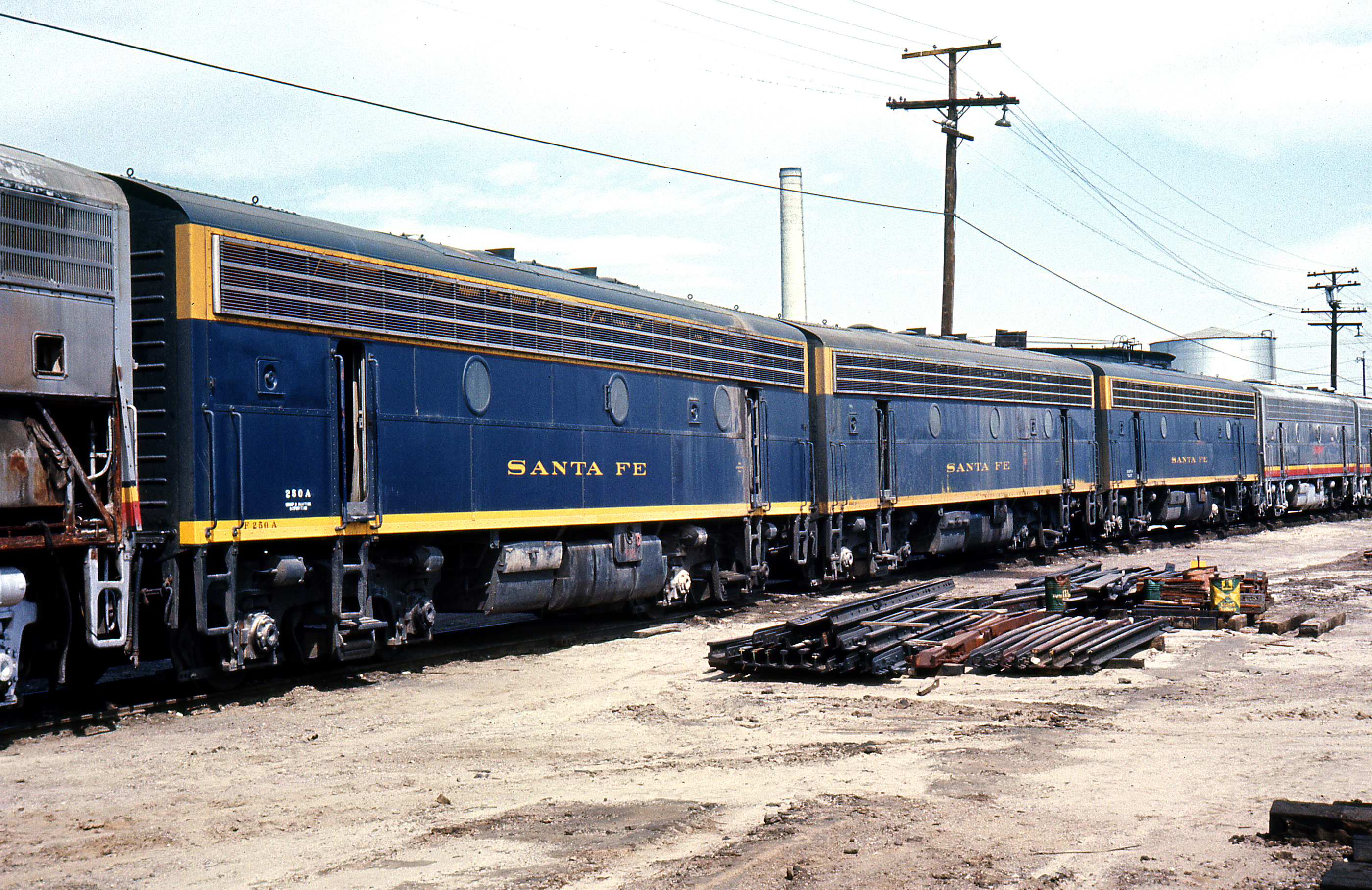
Santa Fe Main Leaving San Bernardino
socal sunset afternoon cliff lights city blue
The Inland Empire Lights
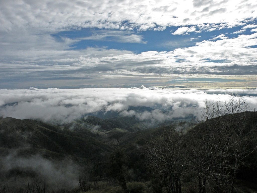
nikon san running springs d200 bernardino 2870mmf28d flickrlovers “nikonflickraward”
Above the Clouds
cliff mountains socal lights city blue
The IE from the Mountains Above
california snow cute clouds relax glasses healthy pretty view hiking flash dirt trail highland backpack workout fitness redlands fit trailmix mentone yucaipa sanbernardino tennisshoes canon50mm18 strobist canon550 zanjapeak canont2i
Original to these lands.
eddy lair eddylair westpark9
View From Work
ranch field sunrise landscape farm pumpkins redlandsca oldwagon liveoakcanyon dgrahamphoto wildoakfarms
Live Oak Farms, Wagon 12-9-12
sky mountains clouds america morninglight stormclouds sanbernardinomountains panoramapoint dgrahamphoto uofredlandsr
Mountains from Panorama Point 11-18-12
crestline lampornisclemenciae bluethroatedhummingbird
Blue-throated Hummingbird
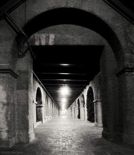
california blackandwhite canon nightimages nightshots canondslr hdr sanbernardino inlandempire betterinblackandwhite canon1740f4lusmgroup sbcusa passengerterminals monochromeaward kenszok
Station Corridor
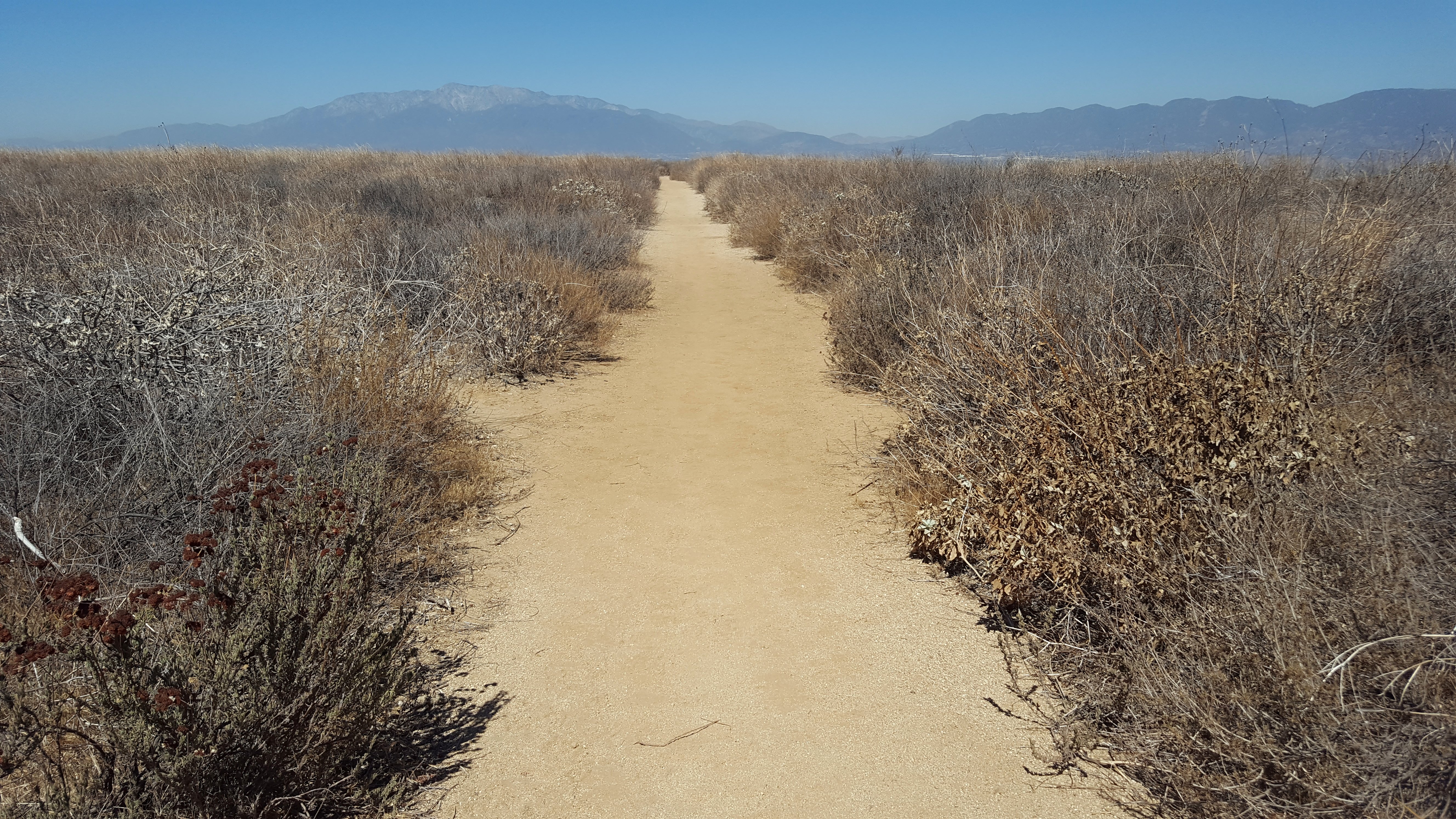
San Timoteo Nature Trail
eyetwistkevinballuff mamiya 6mf 150mm kodak portra 160nc mamiya6mf mamiya150mmf45l kodakportra160nc ai aihollywood aicolor epsonv750pro filmtagger palms palmtrees row lined street redlands northredlands inlandempire sanbernardinocounty san bernardino ishootfilm analog analogue film emulsion mamiya6 square 6x6 120 rural california eyetwist vanishingpoint lineout geometric symmetry snowcapped mountains nevadastreet mediumformat mexicanfan tall rows narrow gone palm tree
palm trees. north redlands, ca. 2011.
el casco california unitedstates us beaumont hill up union pacific yuma subdivision sub train coal railroad locomotive socal southern
Snaking Up Beaumont
california news field fire natural smoke hill working burning powerlines burn disaster ash fighting journalism highway38 wildfire mentone yucaipa fireline
Yucaipa/Mentone Fire
millcreekcanyon sanbernardinonationalforest california photo digital spring canyon mountains mountsanbernardino
Mill Creek Canyon
california longexposure water river landscape photography nikon rocks stream unitedstates nationalforest mentone sanbernardinocounty ndfilter d7000
Mill Creek - Mentone, CA, USA
california usa architecture canon landscape photo victorian historic bedbreakfast 2009 redlands 1890 turnofthecentury 40d moreymansion photographersnaturecom davetoussaint davetoussaintcom americasfavoritevictorian
Morey Mansion of Redlands
Sunsets are beautiful
cliff sunset mountains socal rimoftheworld blue
Rim of the World Highway
rimoftheworld forest nature socal mountains sunset cliff
Sunset at Rim of the World
2018-10-14_10-43-50
california camera usa aviation aerial bigbearmountain project365 iphone4 337365 iphoneography 3652011
3.12.11 - Big Bear
california road bridge sky reflection wet water weather clouds landscape photography nikon unitedstates steel mentone partlycloudy sanbernardinocounty d7100
Garnet St. Bridge - Mentone, CA, USA
shadow green nature canon landscape outdoors view scenic nationalforest vegetation 5d geography geology southerncalifornia folds markii chaparral topography inlandempire sanbernardinomountains transverserange
Green Topographic
sagesparrow artemisiospiza montecitomemorialpark
"Sage" Sparrow
light cars night highway long exposure trails freeway trucks
Good Intentions
bigbear bigbearlake sanbernardino sanbernardinonationalforest
#bigbear #bigbearlake #sanbernardino #sanbernardinonationalforest
california winter usa foothills nature canon landscape outdoors december unitedstates hiking powershot solstice socal southerncalifornia goldenhour inlandempire lpc sanbernardinocounty sanbernardinomountains santaanamountains santiagopeak oldsaddleback mckinleymountain sx260 lowerpeakscommittee
Orange Saddleback
sevenoaksdam santaanariver
San Bernardino Valley