Elevation of Grove Ave, Highland, CA, USA
Location: United States > California > San Bernardino County > Highland >
Longitude: -117.19216
Latitude: 34.1313024
Elevation: 439m / 1440feet
Barometric Pressure: 96KPa
Elevation Map:
Satellite Map:
Related Photos:

A Face Only UP Could Love
Better Blue Than Yellow Bonnet

palm trees. north redlands, ca. 2011.

Islands in the Mist

prcssd. combat camera. san bernardino, ca. 2011.

Queen's Fine Food
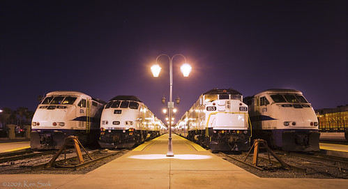
Nothing but Geeps
Aerial shots Colorado/L.A. 1999

Thanksgiving Sunset HDR
Green Topographic

Overlooking the Inland Empire

sunny rear view

San Bernardino Valley

palm trees. north redlands, ca. 2011.

Live Oak Farms, Wagon 12-9-12
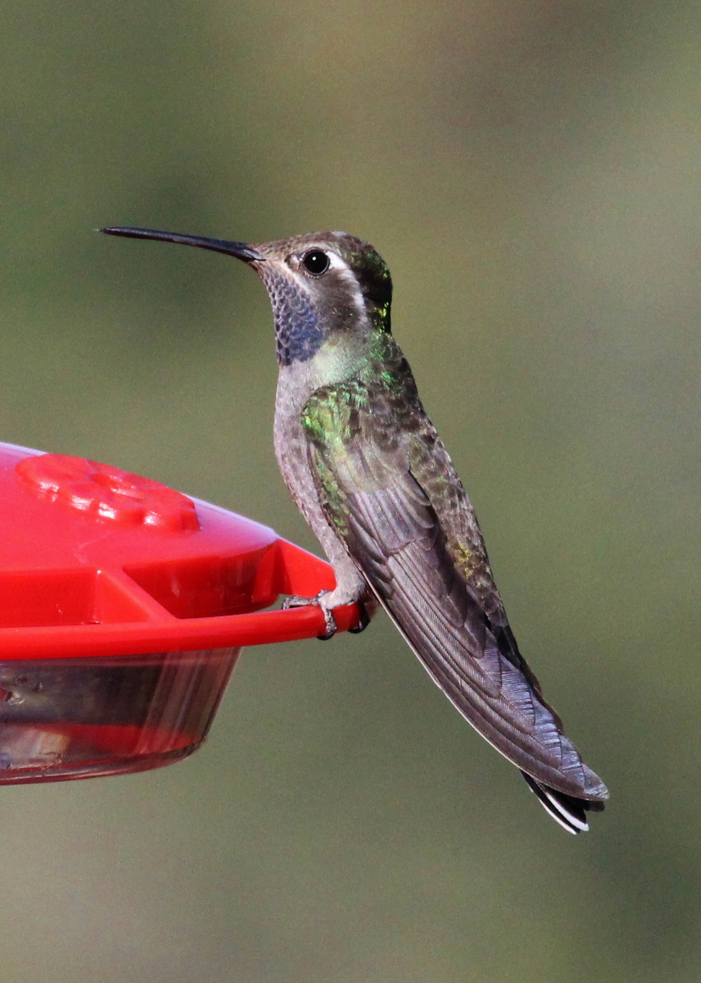
Blue-throated Hummingbird

air combat camera service. san bernardino, ca. 2011.
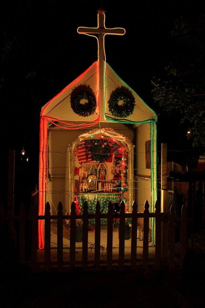
Back Yard Shrine

Living Large, Canyon View, Redlands 5-19-13
Tied Down for the Night
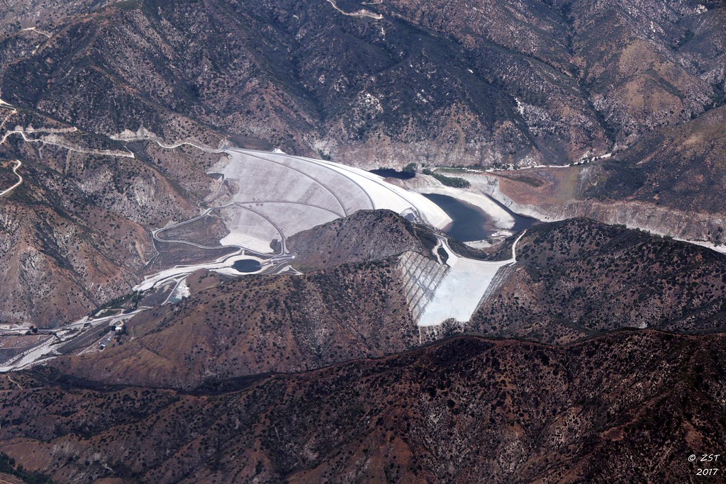
7 Oaks Dam

San Timoteo Nature Trail

Snaking Up Beaumont

#sanbernardinomountains #mountains #runningsprings #hwy18

Mill Creek - Mentone, CA, USA

Morey Mansion of Redlands

Rim of the World Highway

Sunset at Rim of the World

Above it all

Garnet St. Bridge - Mentone, CA, USA
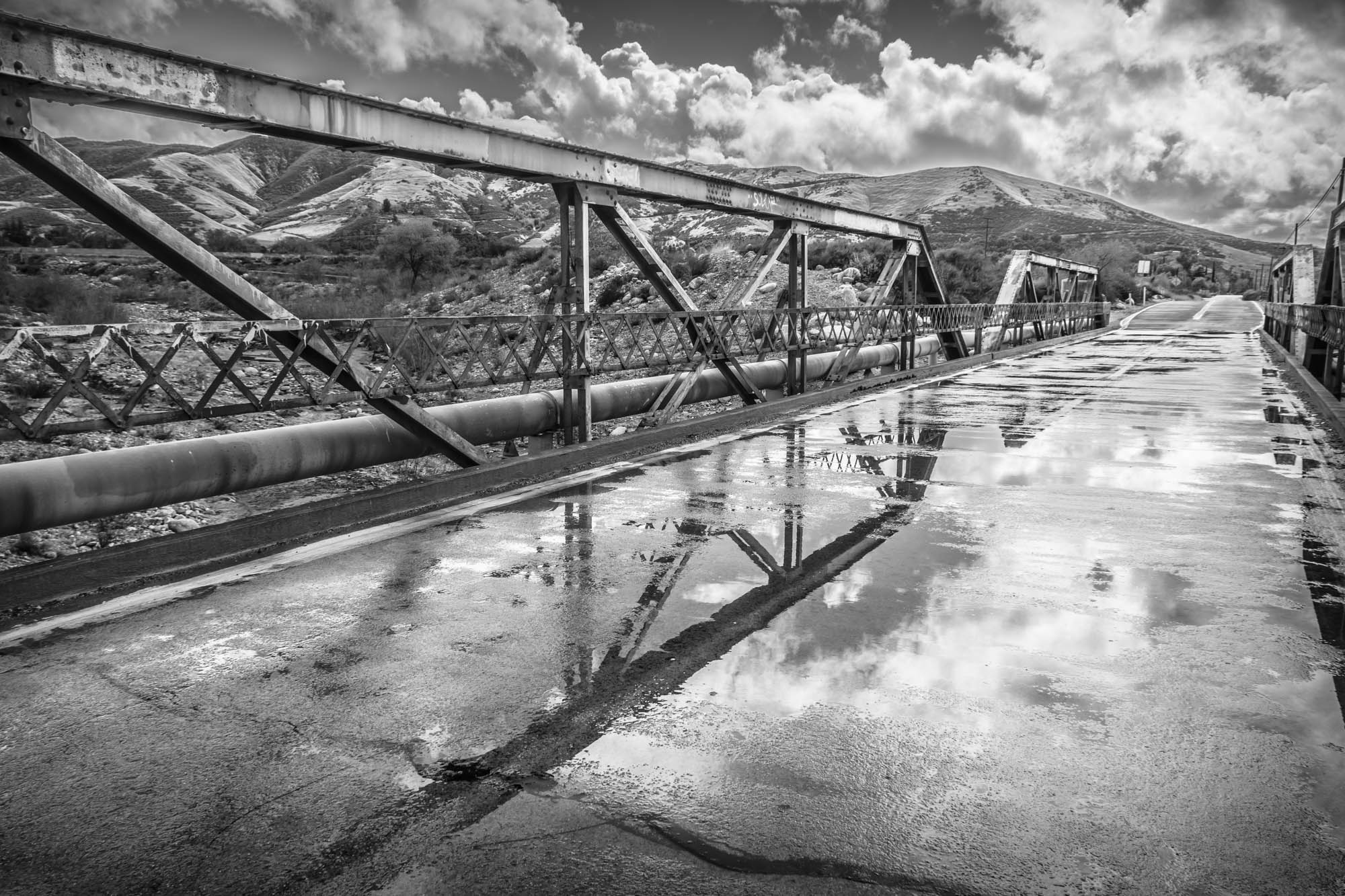
Garnet St. Bridge - Mentone, CA, USA

Social Gathering, Ford Park, Redlands, CA 8-12
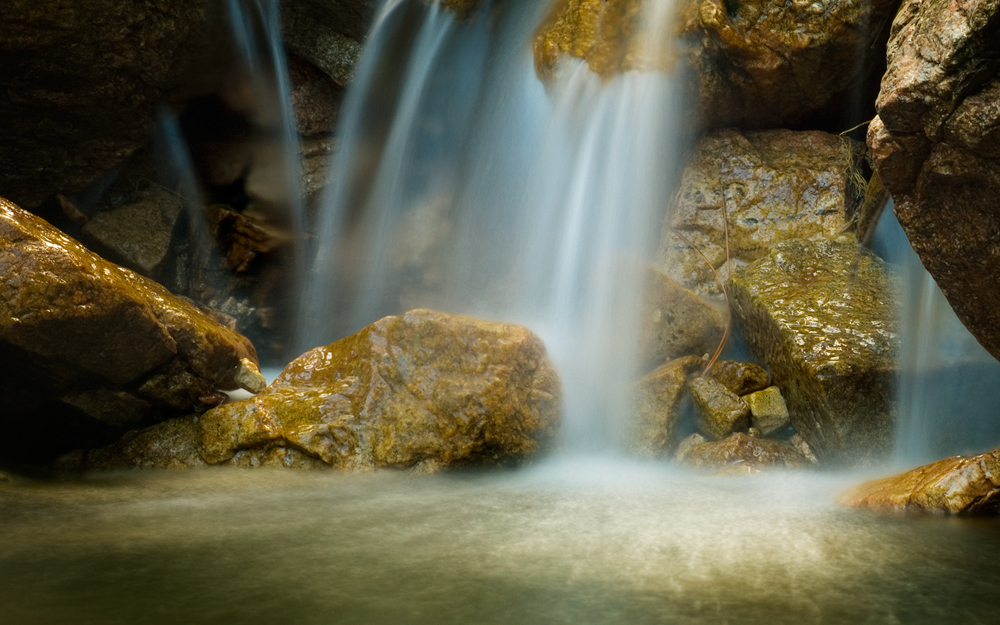
Pine Falls
#bigbear #bigbearlake #sanbernardino #sanbernardinonationalforest
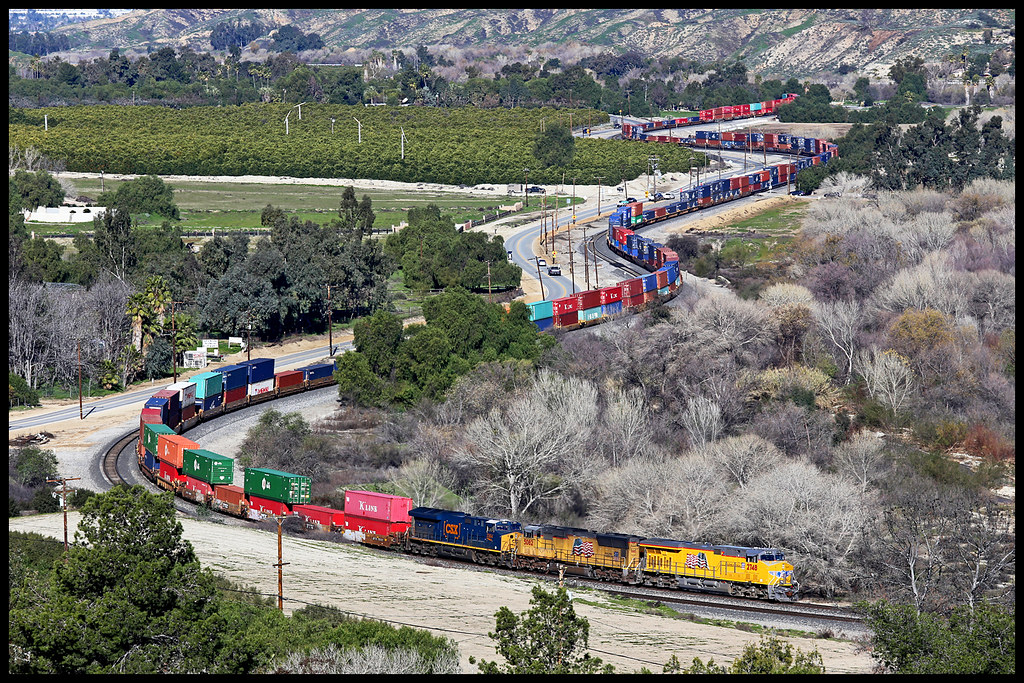
UP 2748
Ducks!
Lightpower at San Bernardino Depot
On the Rim of the World
PE Bridge in Sepia
Topographic Map of Grove Ave, Highland, CA, USA
Find elevation by address:

Places near Grove Ave, Highland, CA, USA:
28009 Pasito St
Stratford St, Highland, CA, USA
4040 Piedmont Dr
Small Canyon
6606 Orangewood Rd
7042 Dover Ct
2867 Ridgeview Rd
3883 Croydon St
7013 Roddick Dr
Center St, Highland, CA, USA
Highland
Highland Historical District
N Palm Ave, Highland, CA, USA
Highland Grove Elementary
7223 Church St
6747 Barnard Ln
27250 Cypress St
2969 La Verne Ave
Amber Hills
27197 Fleming St
Recent Searches:
- Elevation of Congressional Dr, Stevensville, MD, USA
- Elevation of Bellview Rd, McLean, VA, USA
- Elevation of Stage Island Rd, Chatham, MA, USA
- Elevation of Shibuya Scramble Crossing, 21 Udagawacho, Shibuya City, Tokyo -, Japan
- Elevation of Jadagoniai, Kaunas District Municipality, Lithuania
- Elevation of Pagonija rock, Kranto 7-oji g. 8"N, Kaunas, Lithuania
- Elevation of Co Rd 87, Jamestown, CO, USA
- Elevation of Tenjo, Cundinamarca, Colombia
- Elevation of Côte-des-Neiges, Montreal, QC H4A 3J6, Canada
- Elevation of Bobcat Dr, Helena, MT, USA