Elevation of Vineyard Township, AR, USA
Location: United States > Arkansas > Washington County >
Longitude: -94.469676
Latitude: 35.7996769
Elevation: 383m / 1257feet
Barometric Pressure: 97KPa
Elevation Map:
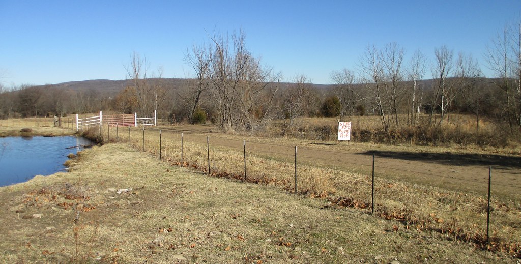
Satellite Map:
Related Photos:

Calm before the storm
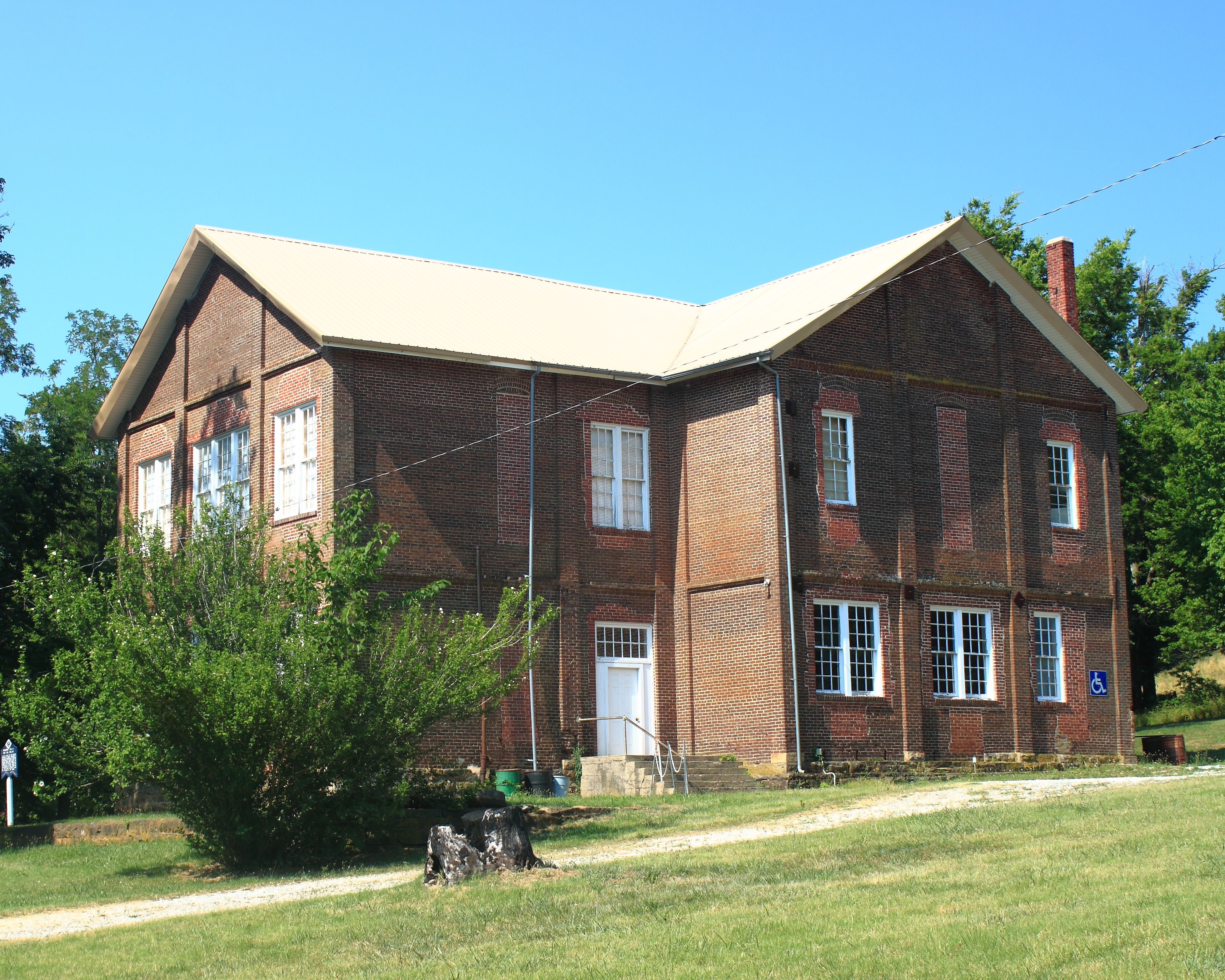
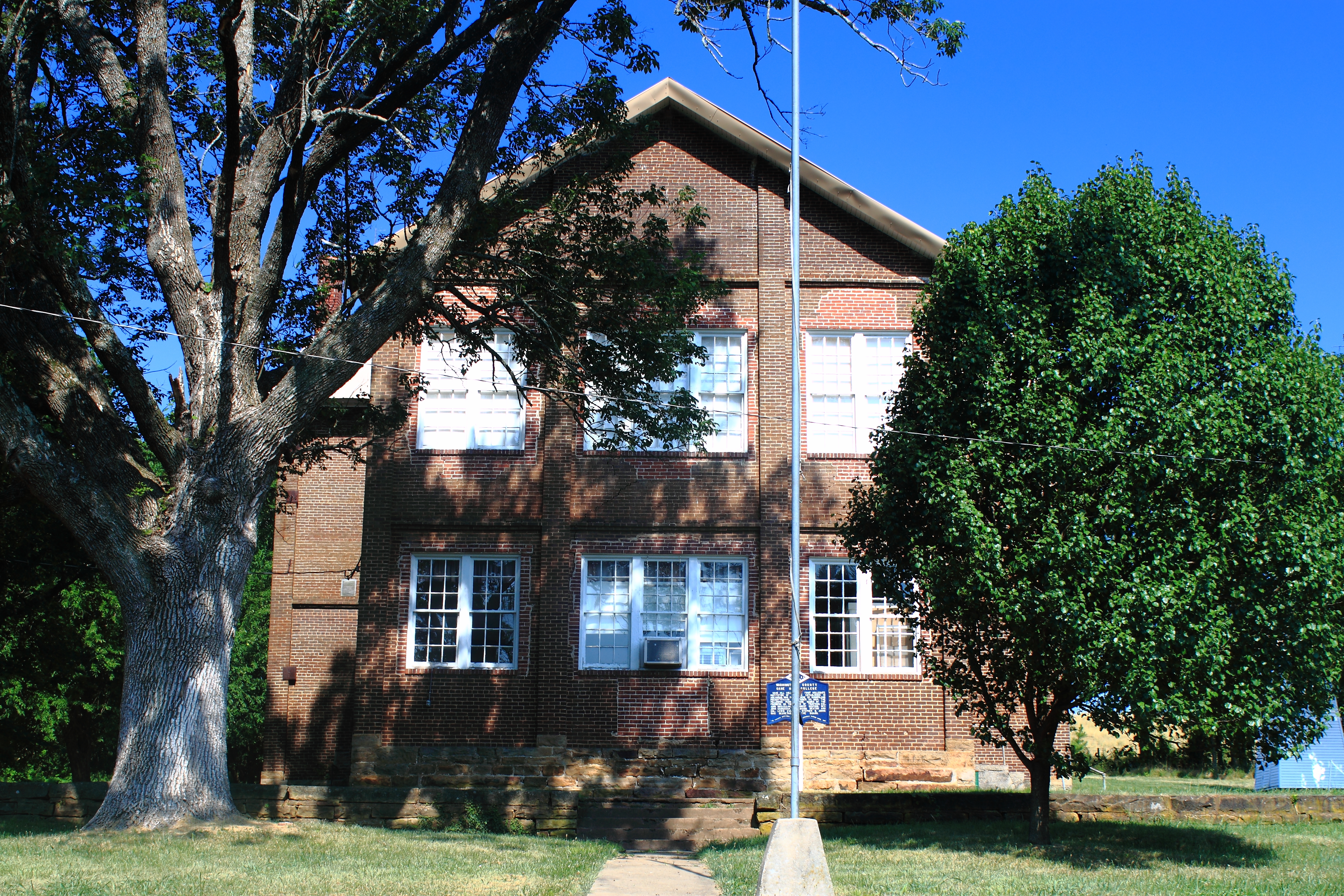
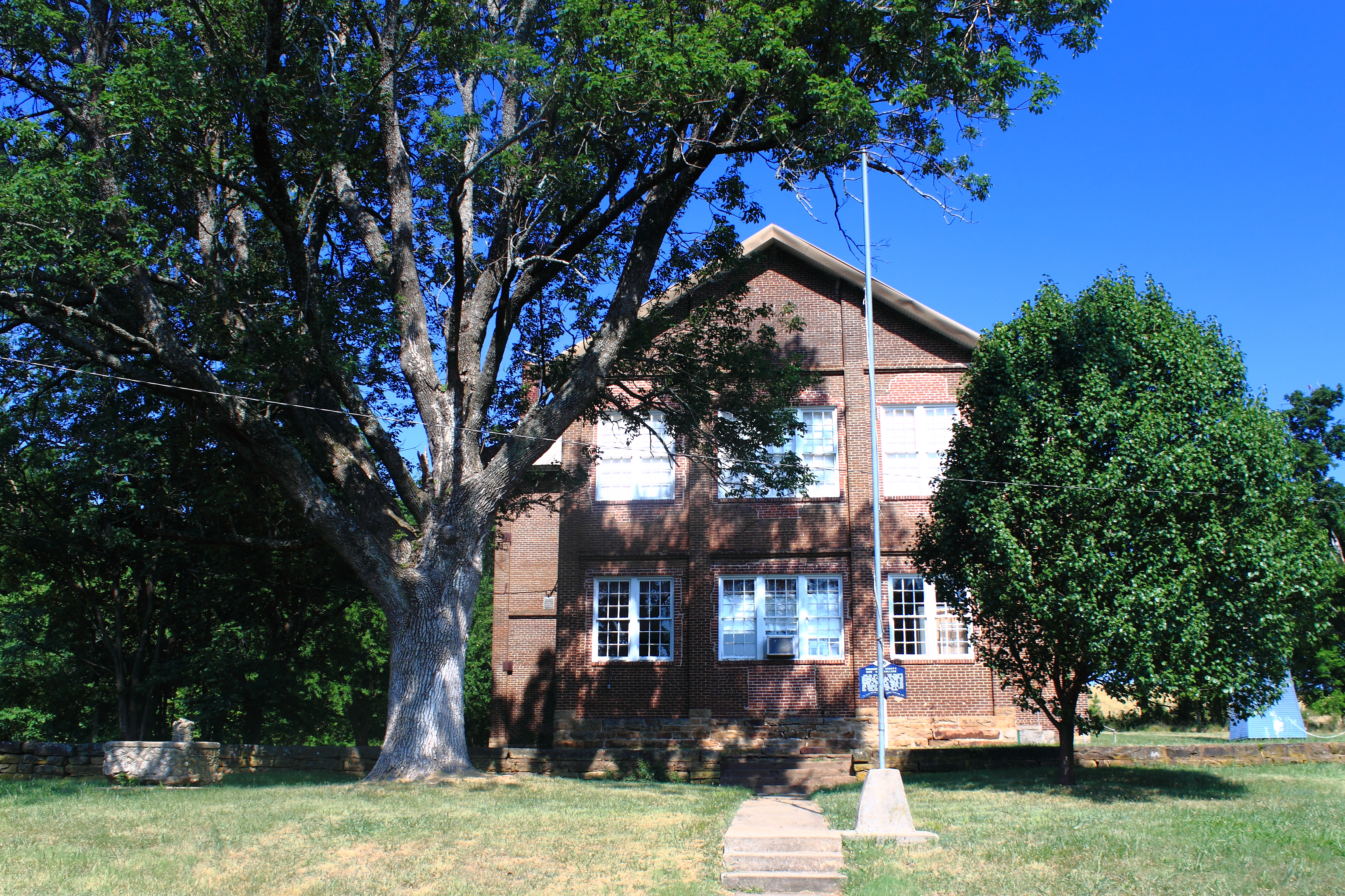
North View of Cane Hill College - Cane Hill, Arkansas
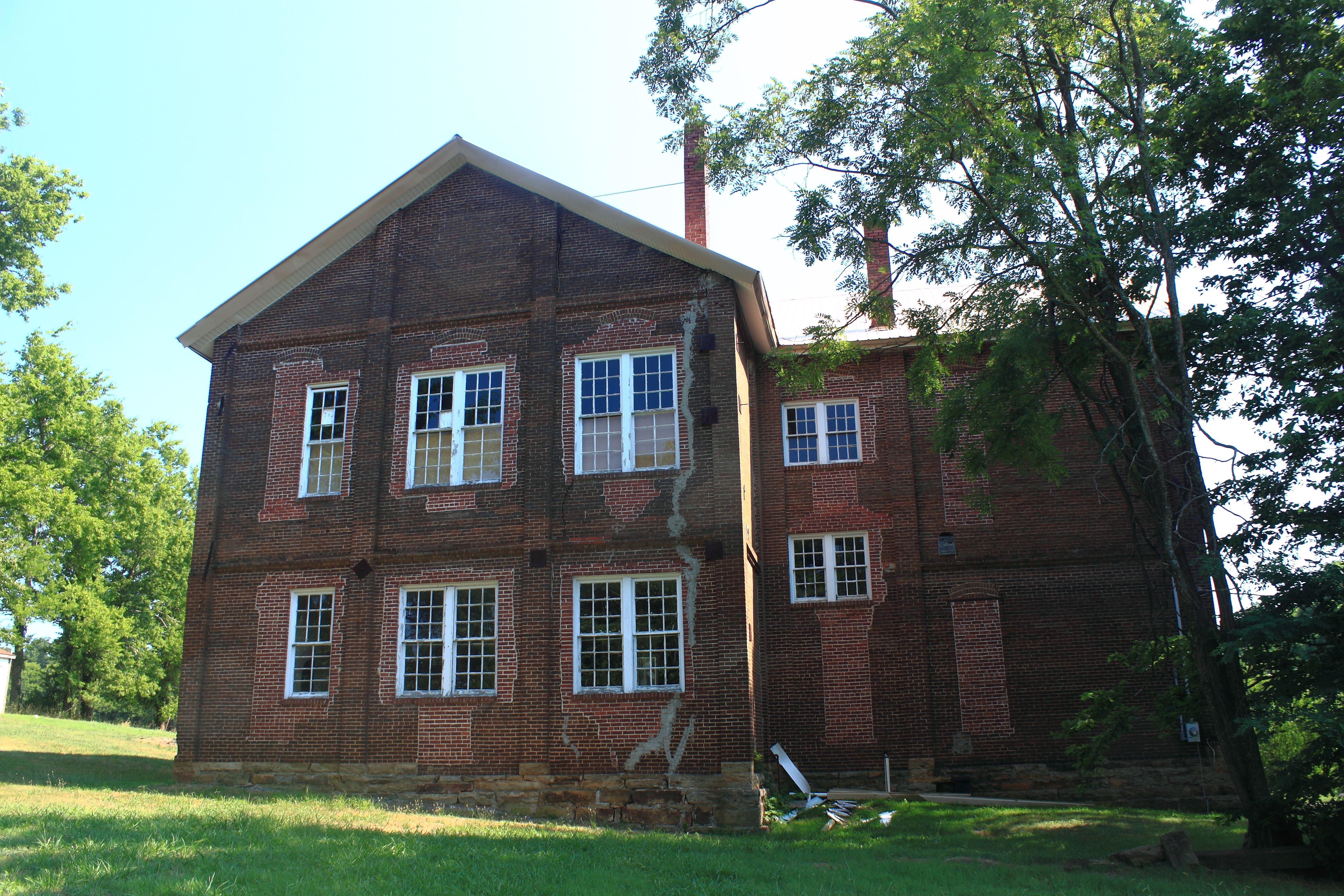
South View of Cane Hill College - Cane Hill, Arkansas
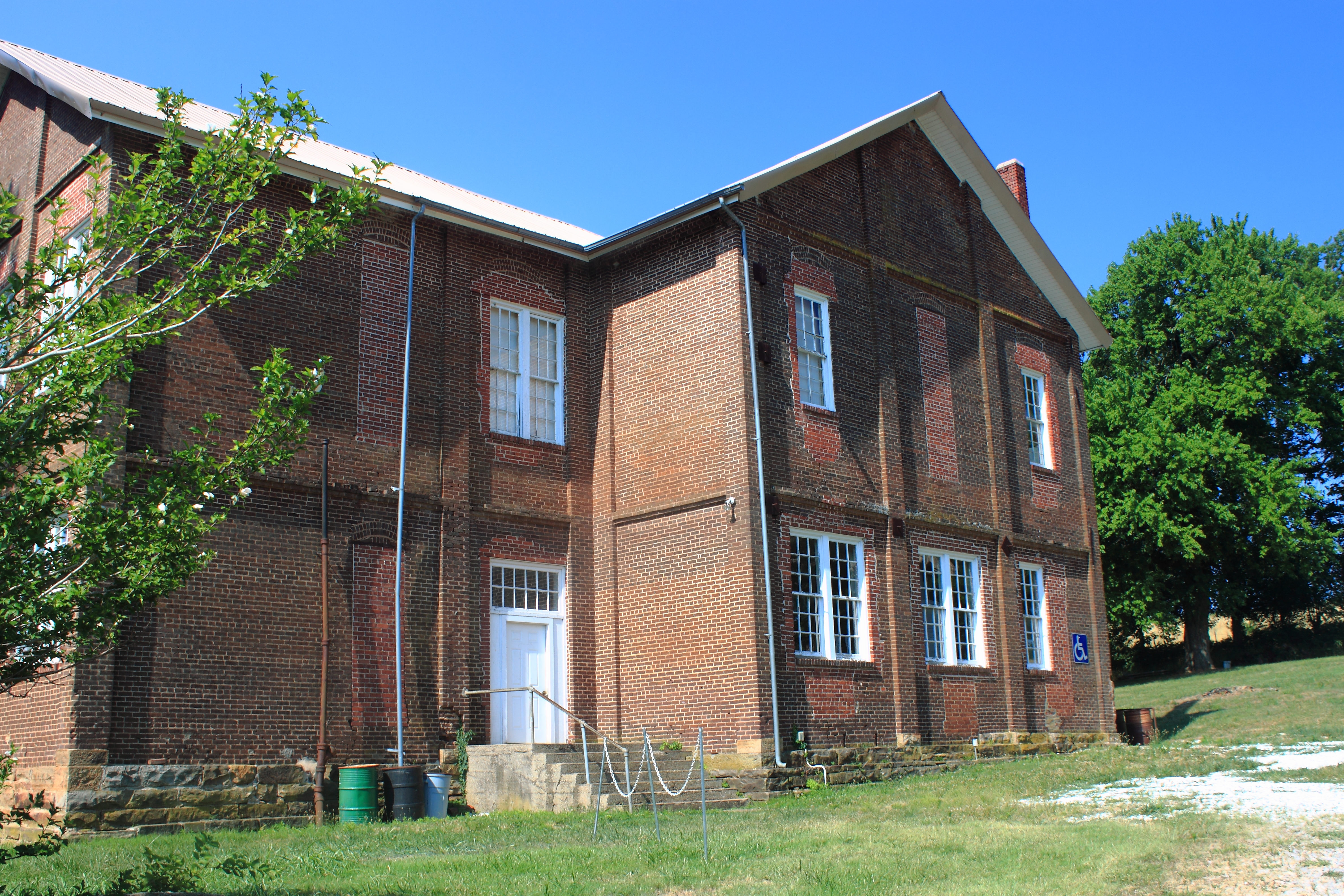
Northeast View of Cane Hill College - Cane Hill, Arkansas
East View of Cane Hill College - Cane Hill, Arkansas
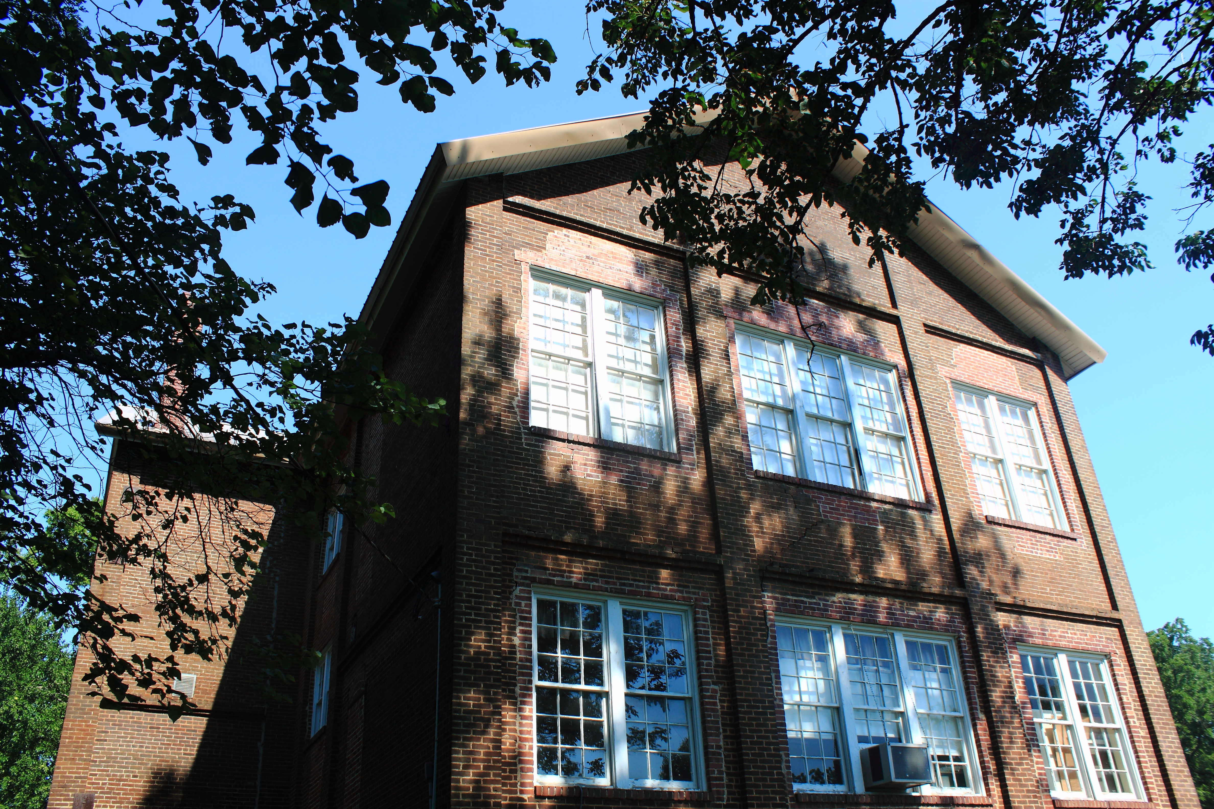
East View of Cane Hill College - Cane Hill, Arkansas
East View of Cane Hill College - Cane Hill, Arkansas

Natural Dam at Sunrise

01 08 11_Cove_Creek_0074
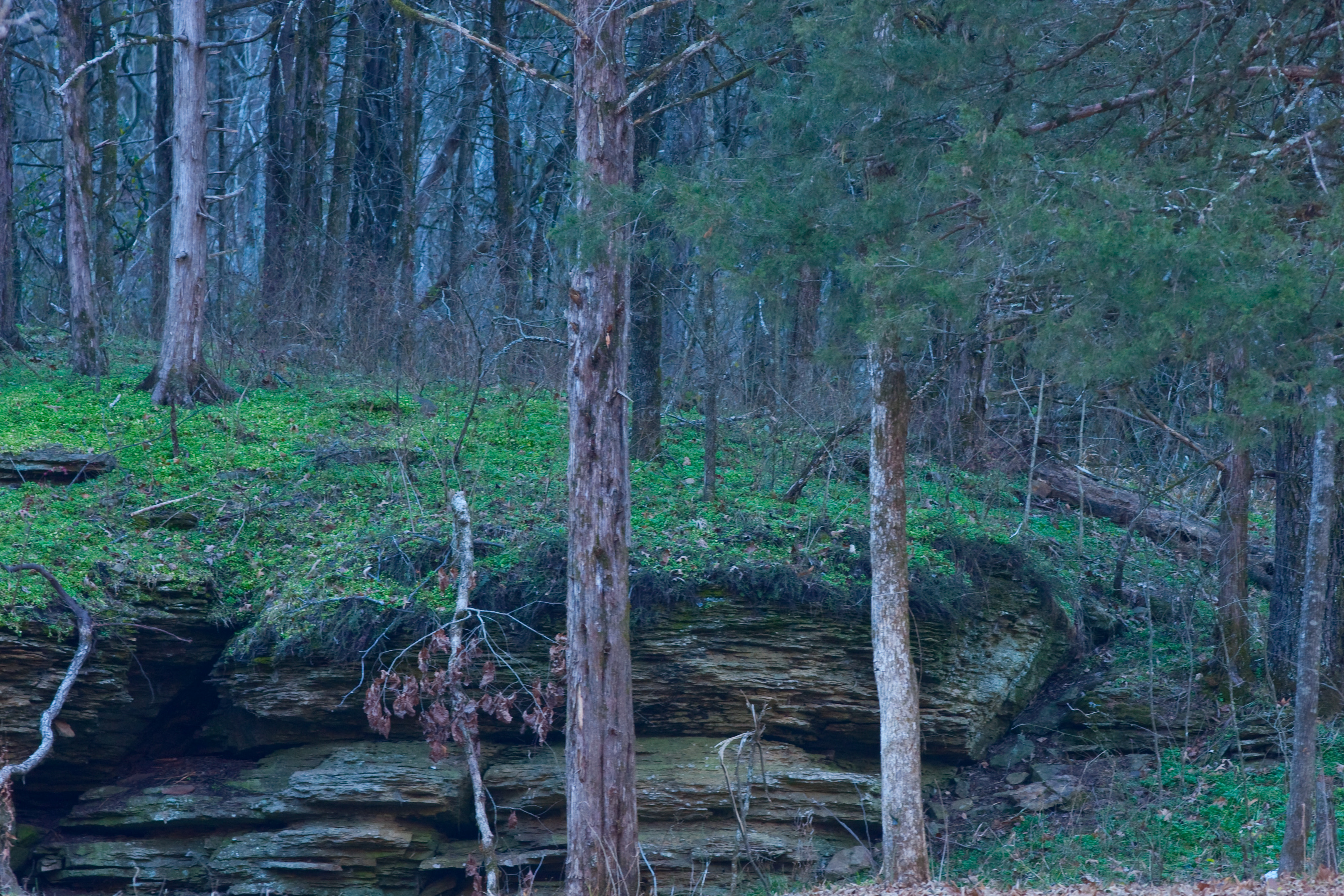
01 08 11_Cove_Creek_0089

01 08 11_Cove_Creek_0073

Highway 45 House

01 08 11_Cove_Creek_0072

01 08 11_Cove_Creek_0075
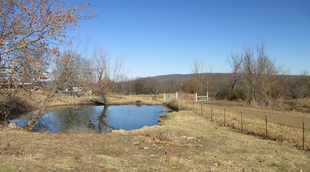
Northeastern Oklahoma Landscape (Adair County, Oklahoma)
Northeastern Oklahoma Landscape (Adair County, Oklahoma)
Topographic Map of Vineyard Township, AR, USA
Find elevation by address:

Places in Vineyard Township, AR, USA:
Places near Vineyard Township, AR, USA:
AR-59, Evansville, AR, USA
Evansville
Bellamy Rd, Evansville, AR, USA
Boston Township
Morrow
Hale Mountain Rd, Morrow, AR, USA
Morrow Township
Dutch Mills Rd, Lincoln, AR, USA
N Skylight Mountain Rd, Canehill, AR, USA
Dutch Mills Township
Clyde Rd, Canehill, AR, USA
Lees Creek Township
Canehill
Cane Hill Township
2012 S Mitchell Ave
Lincoln Township
Lincoln
Arthur Ave S, Lincoln, AR, USA
Stilwell
N 2nd St, Stilwell, OK, USA
Recent Searches:
- Elevation of Congressional Dr, Stevensville, MD, USA
- Elevation of Bellview Rd, McLean, VA, USA
- Elevation of Stage Island Rd, Chatham, MA, USA
- Elevation of Shibuya Scramble Crossing, 21 Udagawacho, Shibuya City, Tokyo -, Japan
- Elevation of Jadagoniai, Kaunas District Municipality, Lithuania
- Elevation of Pagonija rock, Kranto 7-oji g. 8"N, Kaunas, Lithuania
- Elevation of Co Rd 87, Jamestown, CO, USA
- Elevation of Tenjo, Cundinamarca, Colombia
- Elevation of Côte-des-Neiges, Montreal, QC H4A 3J6, Canada
- Elevation of Bobcat Dr, Helena, MT, USA