Elevation of Boston Township, AR, USA
Location: United States > Arkansas > Washington County >
Longitude: -94.418208
Latitude: 35.8124637
Elevation: 424m / 1391feet
Barometric Pressure: 96KPa
Elevation Map:
Satellite Map:
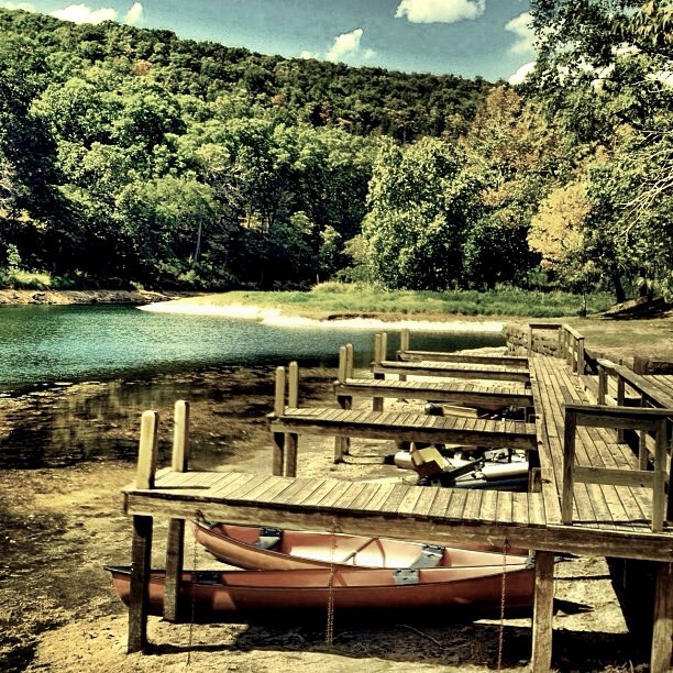
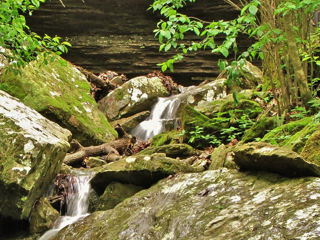
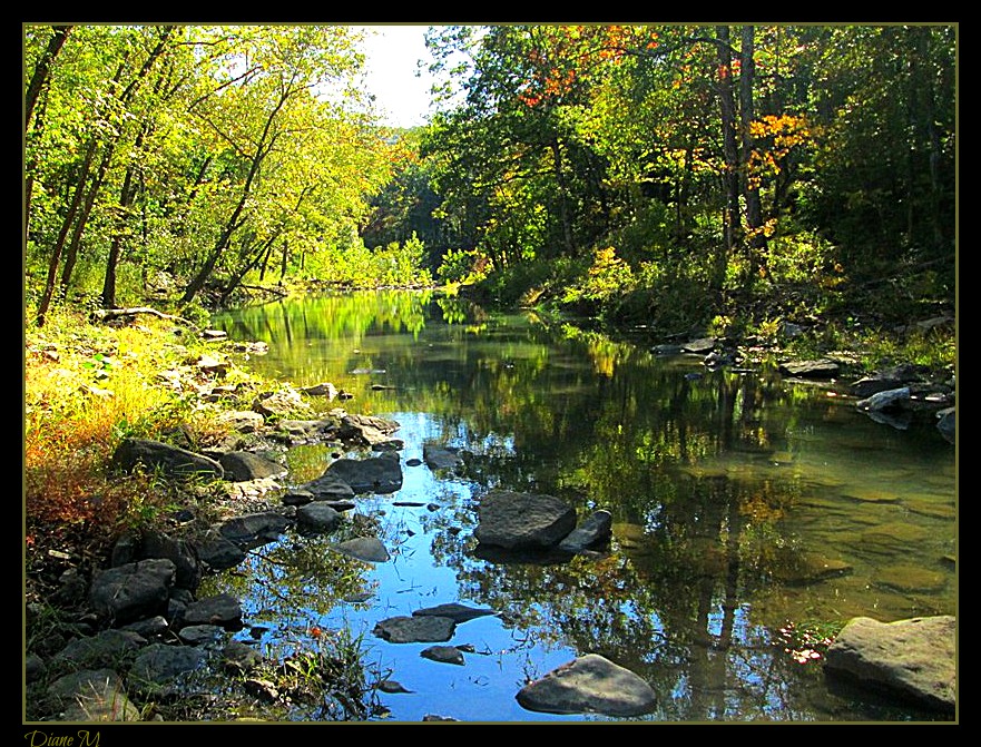
Related Photos:
I could hear the earth's chorus and all I could do was cry for the beauty and the pain.
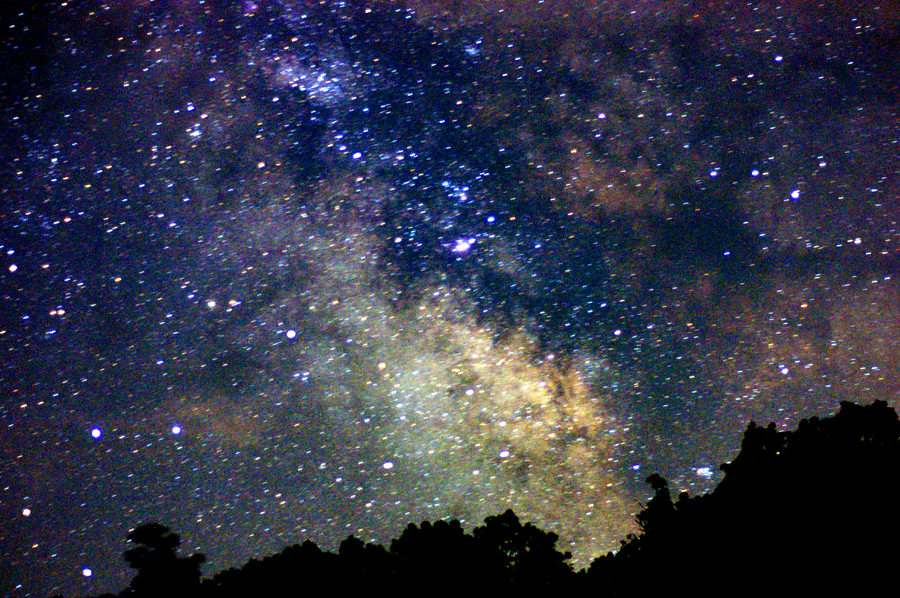
Summer Milky Way Full Frame at 50mm f/1.7
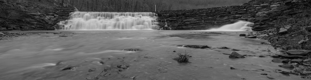
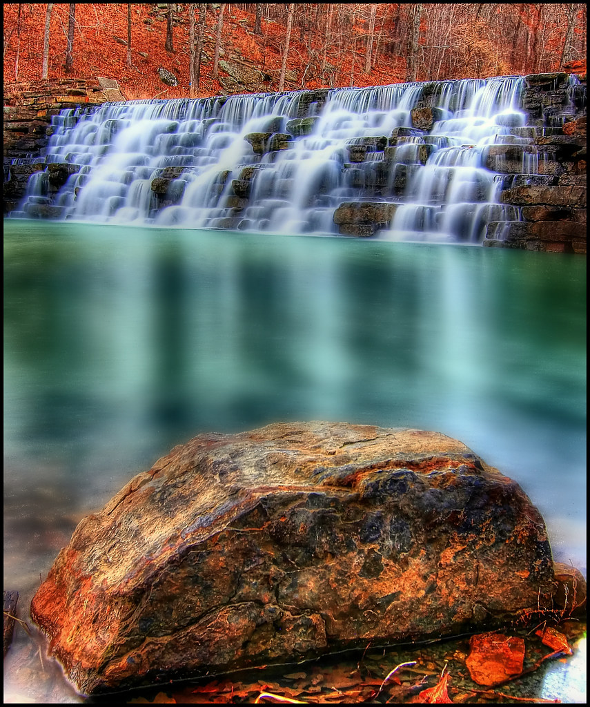
Devil's Den Spillway
IMG_1149.2
Panorama View of Lee Creek Vally at Yellow Rock Viewpoint
Butterfield View
What a View
South View at Yellow Rock
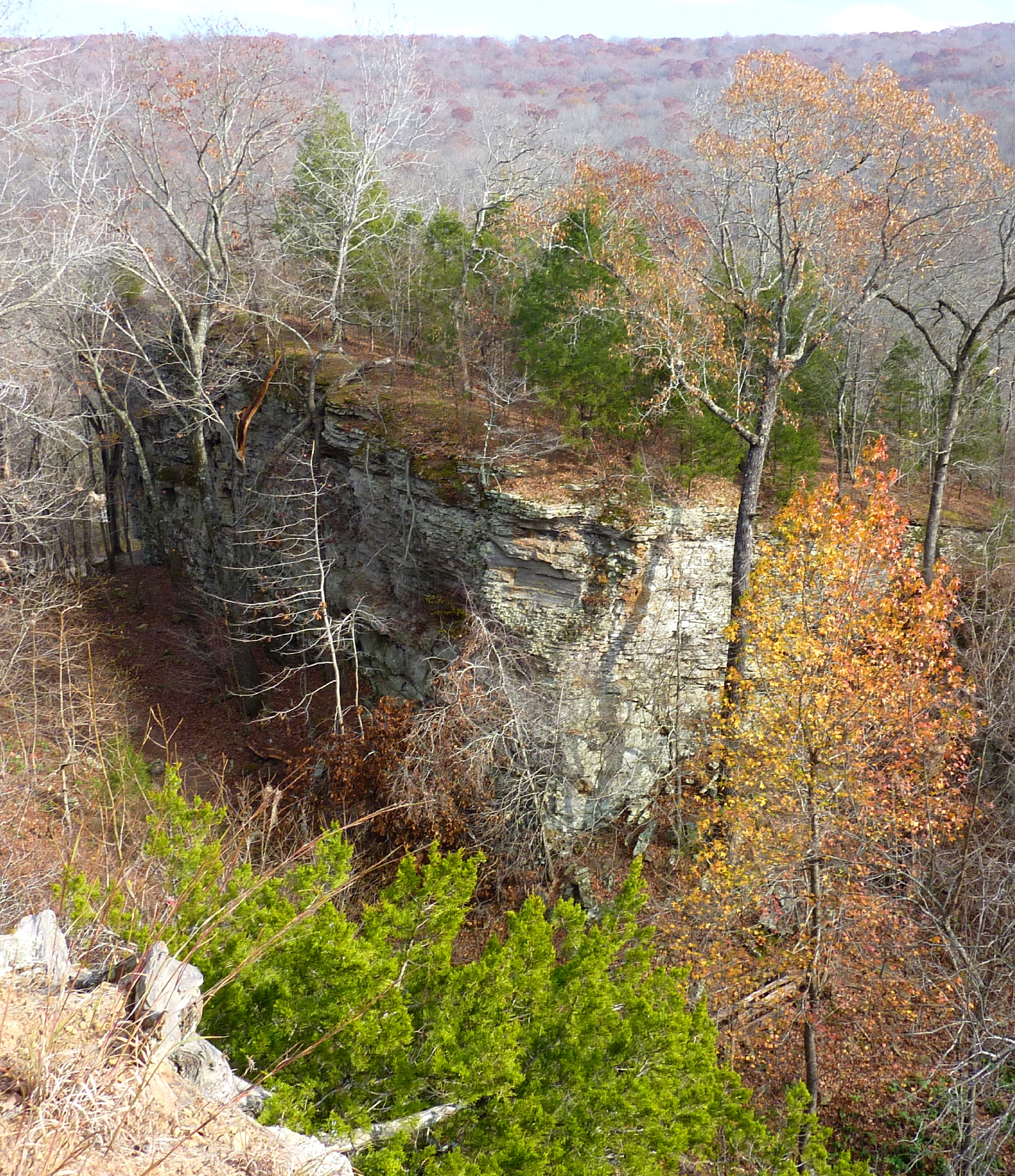
Bluff View from Yellow Rock Trail
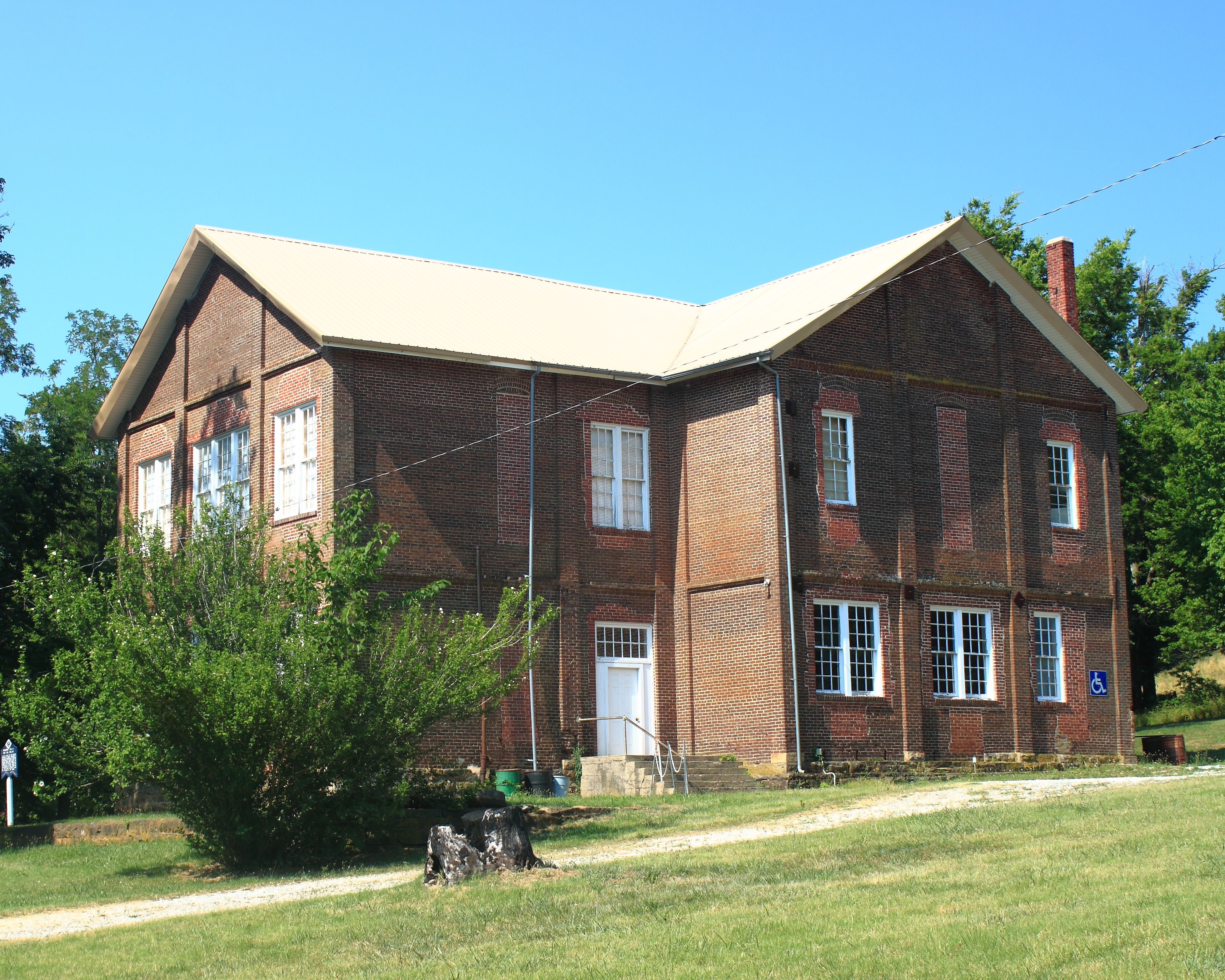
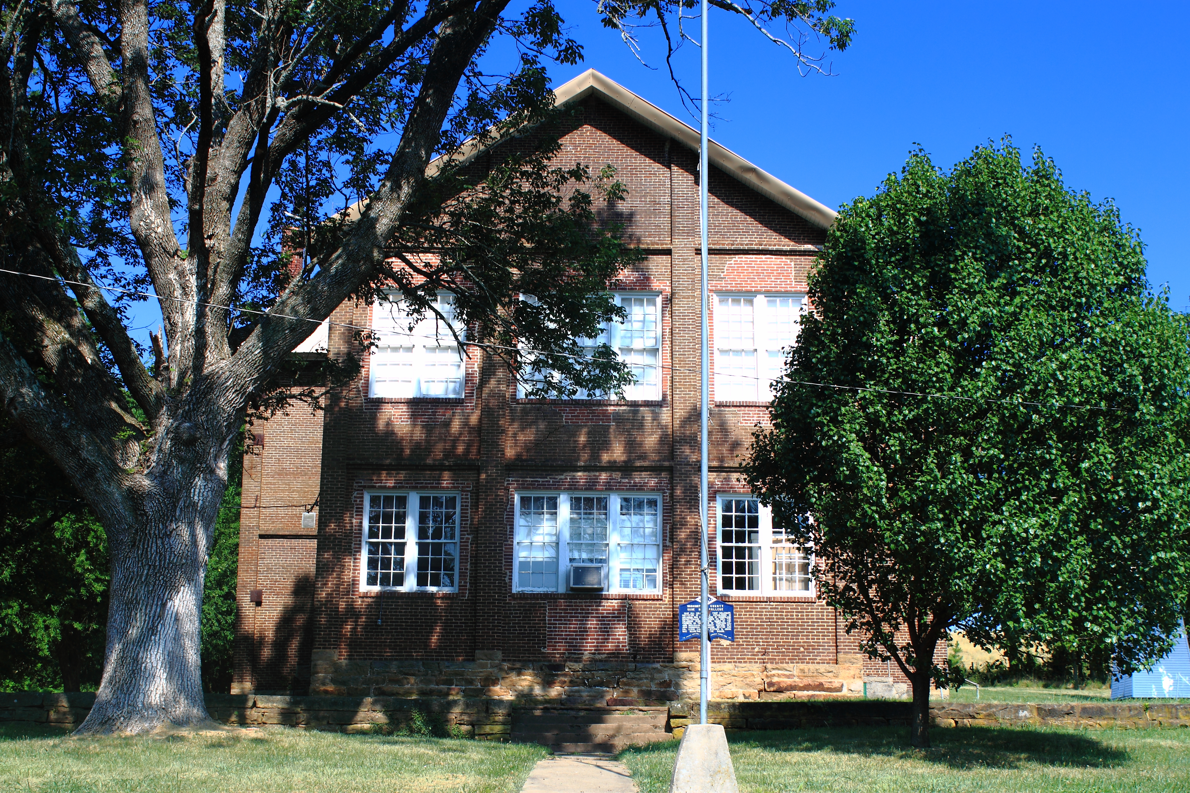
Northeast View of Cane Hill College - Cane Hill, Arkansas
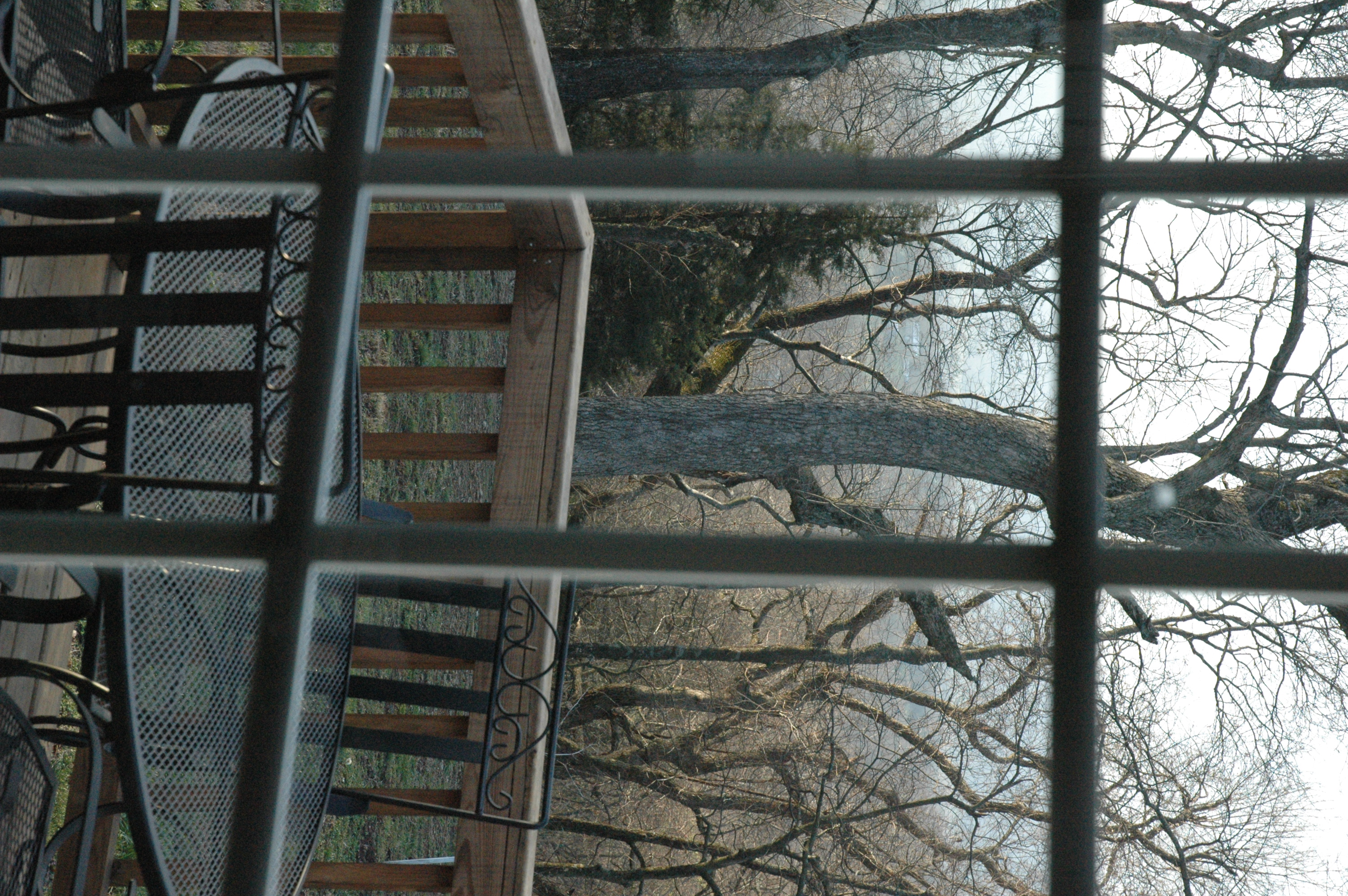
The view from GV
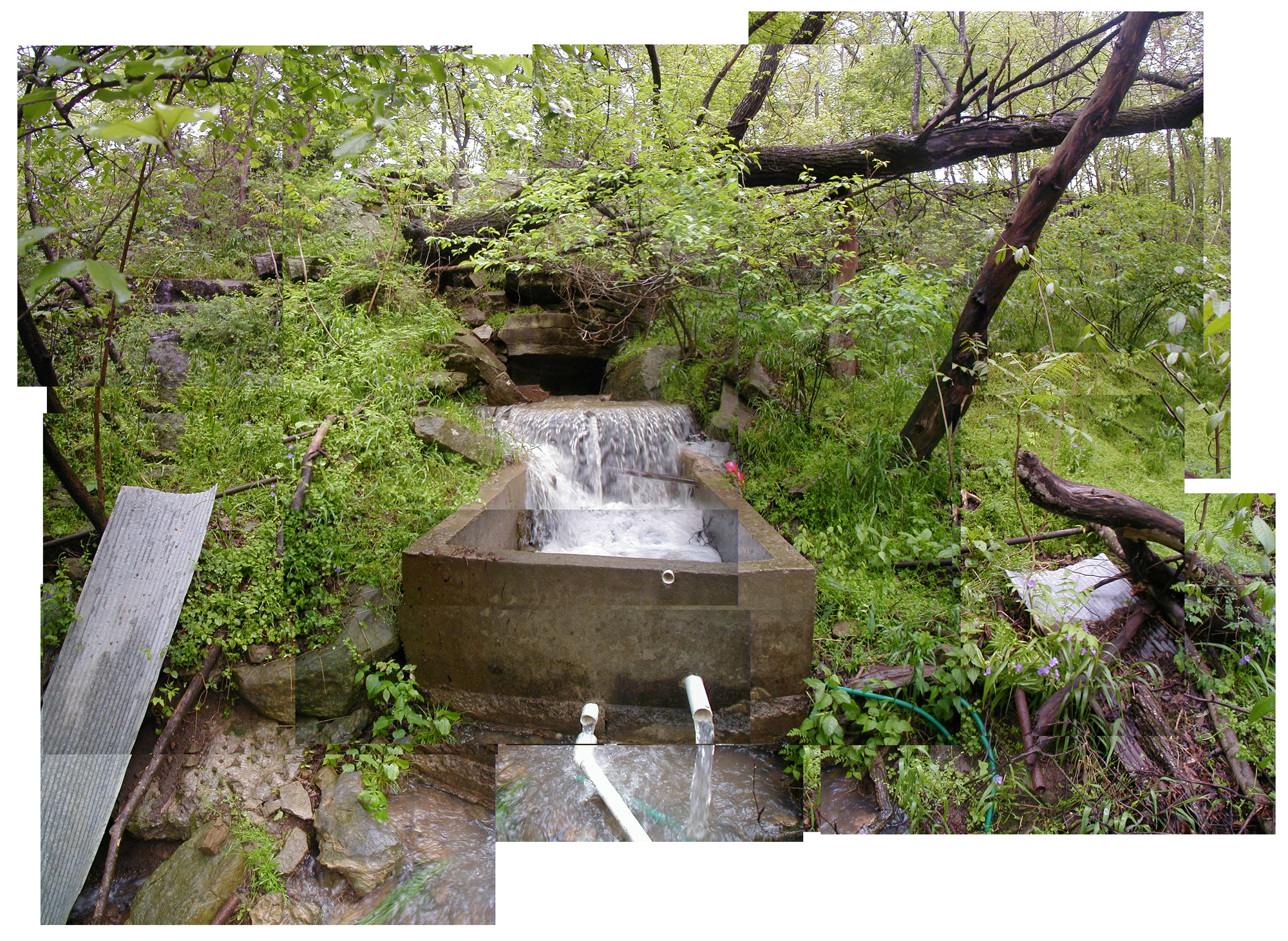
Baseflow x100
East View of Cane Hill College - Cane Hill, Arkansas
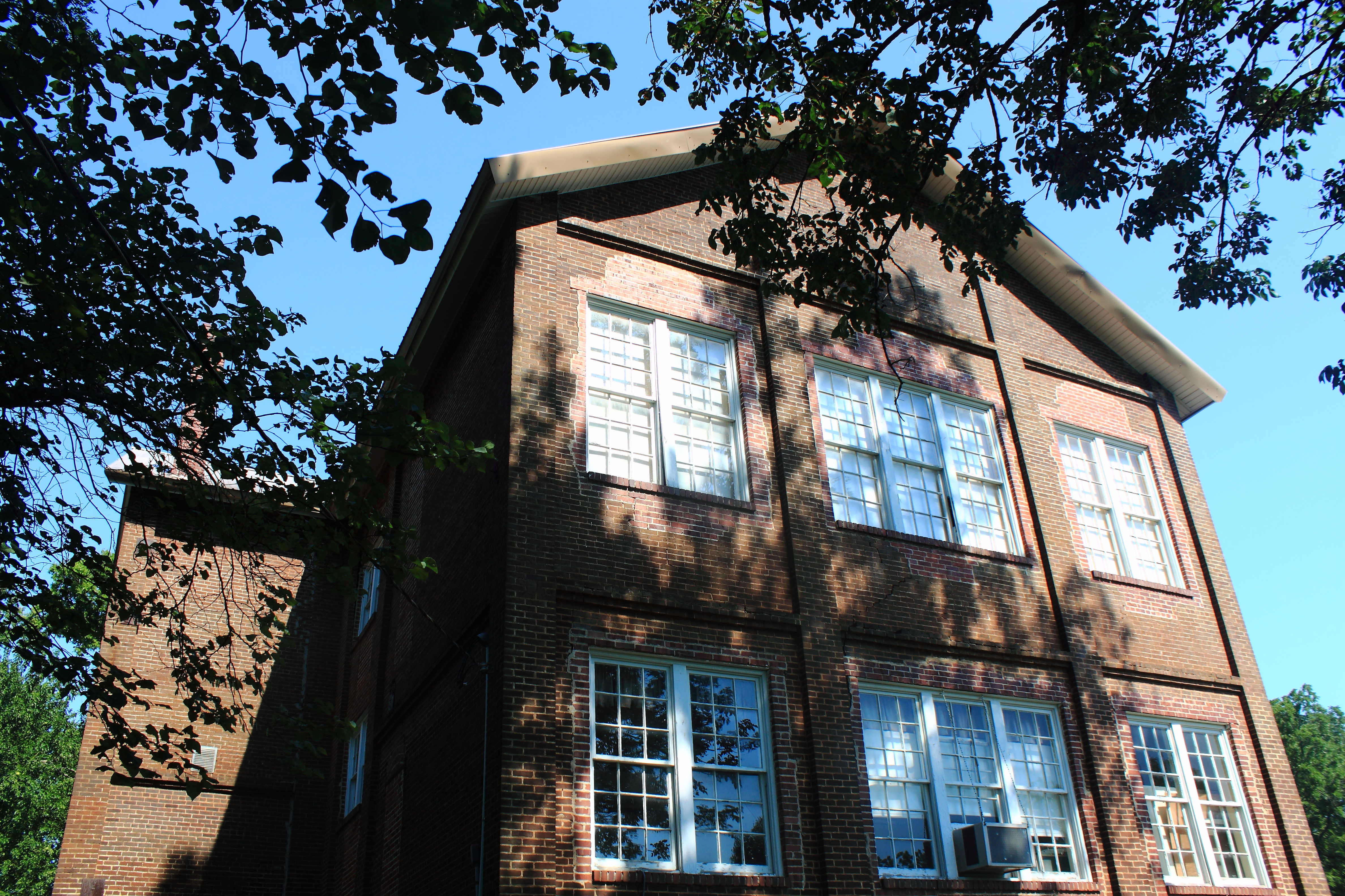
East View of Cane Hill College - Cane Hill, Arkansas
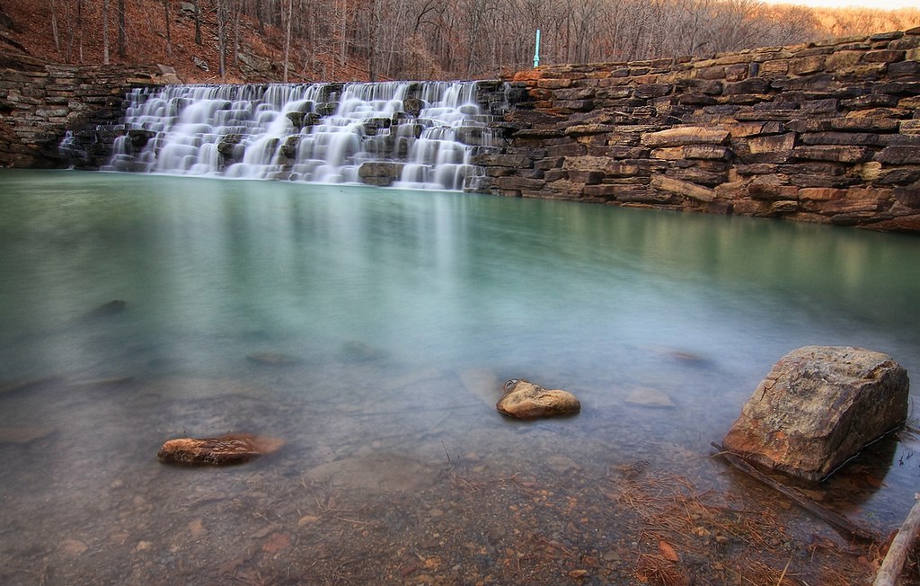
Devil's Den Spillway
overprocessed overcooked overeverything
Devil's Den State Park
Devil's (Den) Advocate
morning sun
engagement falls
Devil's Den

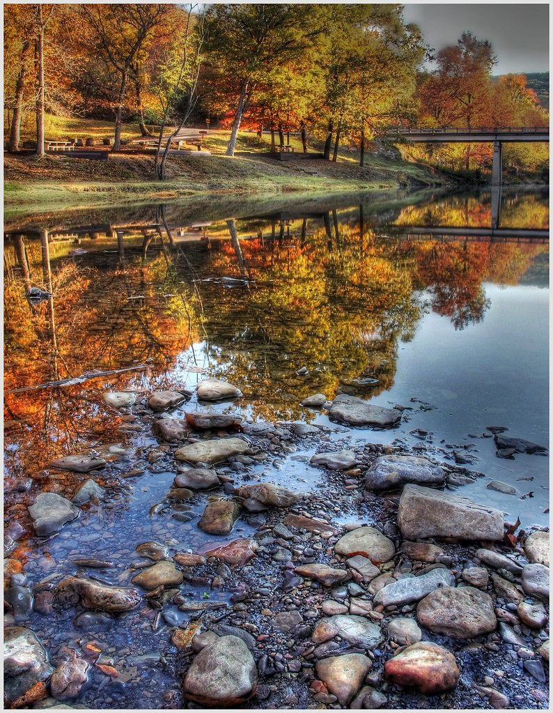
Autumn in the Ozarks (hdr)

Natural Dam at Sunrise

01 08 11_Cove_Creek_0074
Topographic Map of Boston Township, AR, USA
Find elevation by address:

Places in Boston Township, AR, USA:
Places near Boston Township, AR, USA:
N Skylight Mountain Rd, Canehill, AR, USA
Morrow
Hale Mountain Rd, Morrow, AR, USA
Vineyard Township
Morrow Township
Bellamy Rd, Evansville, AR, USA
Clyde Rd, Canehill, AR, USA
AR-59, Evansville, AR, USA
Evansville
Dutch Mills Rd, Lincoln, AR, USA
Cane Hill Township
Canehill
Dutch Mills Township
2012 S Mitchell Ave
Lees Creek Township
Lincoln Township
12799 Co Rd 8
12799 Co Rd 8
Arthur Ave S, Lincoln, AR, USA
Lincoln
Recent Searches:
- Elevation of Estates Loop, Priest River, ID, USA
- Elevation of Woodland Oak Pl, Thousand Oaks, CA, USA
- Elevation of Brownsdale Rd, Renfrew, PA, USA
- Elevation of Corcoran Ln, Suffolk, VA, USA
- Elevation of Mamala II, Sariaya, Quezon, Philippines
- Elevation of Sarangdanda, Nepal
- Elevation of 7 Waterfall Way, Tomball, TX, USA
- Elevation of SW 57th Ave, Portland, OR, USA
- Elevation of Crocker Dr, Vacaville, CA, USA
- Elevation of Pu Ngaol Community Meeting Hall, HWHM+3X7, Krong Saen Monourom, Cambodia