Elevation of Lees Creek Township, AR, USA
Location: United States > Arkansas > Crawford County >
Longitude: -94.418208
Latitude: 35.6816973
Elevation: 359m / 1178feet
Barometric Pressure: 97KPa
Elevation Map:
Satellite Map:
Related Photos:
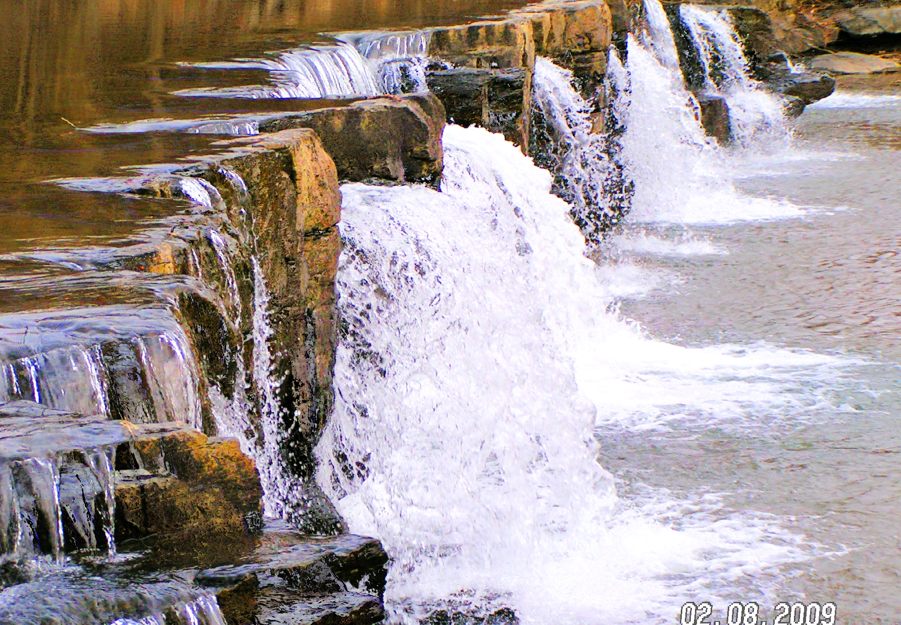
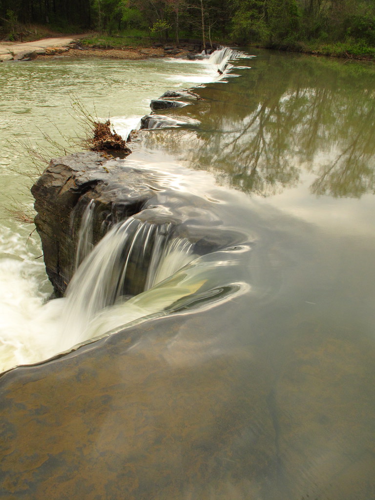
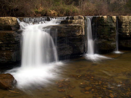
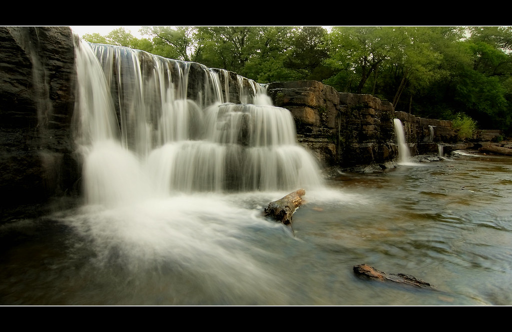
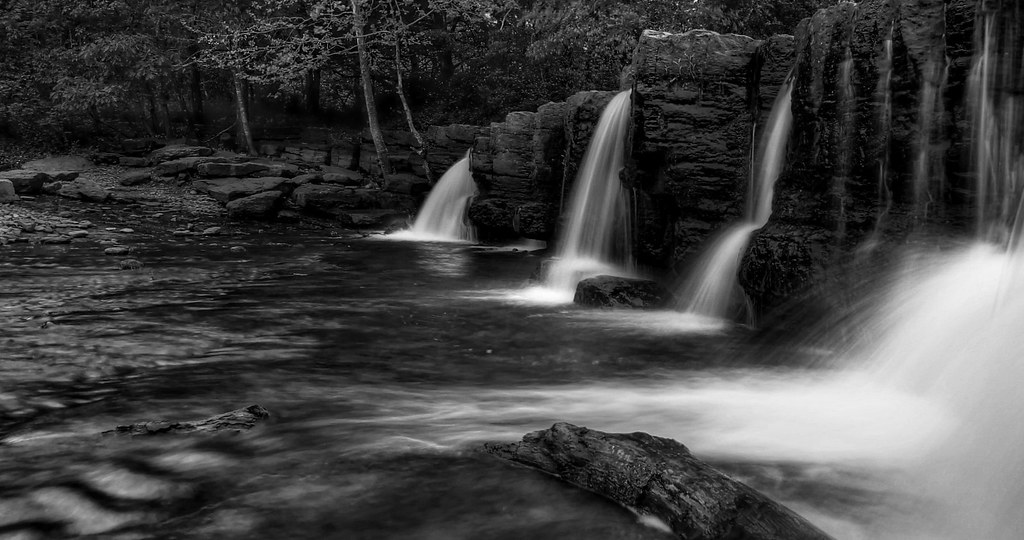
Natural Damn
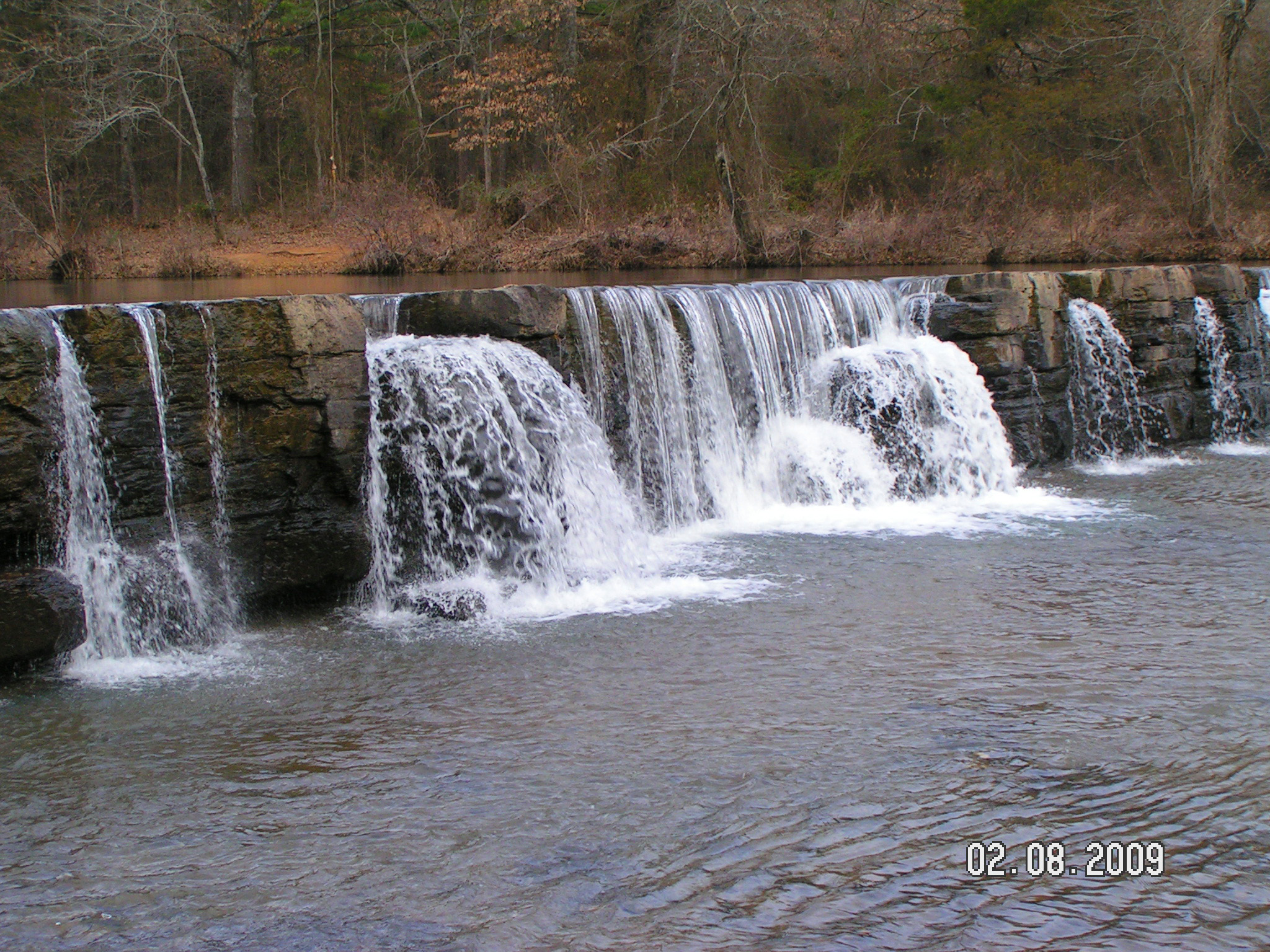
Natural Dam
view from the top

Natural Dam
Natural Dam
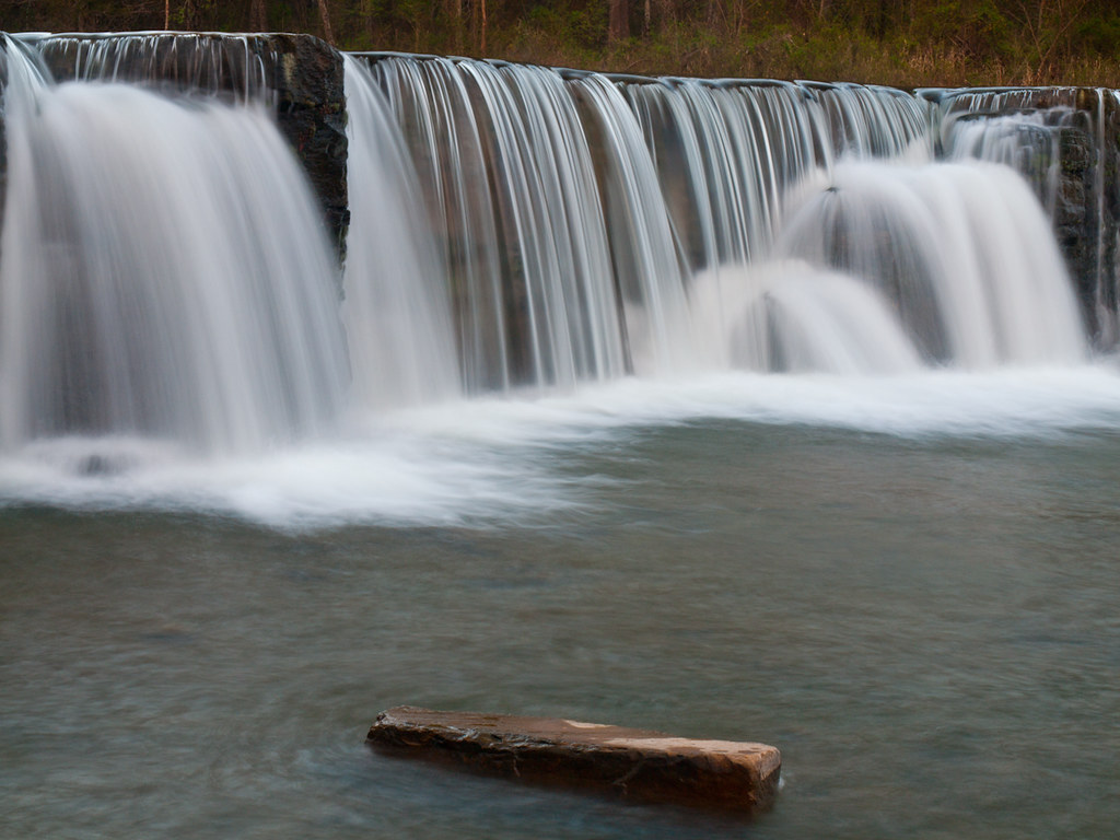
Natural Dam

100 yards south of Natural Dam
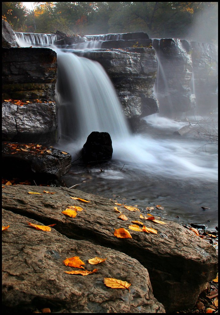
Last November

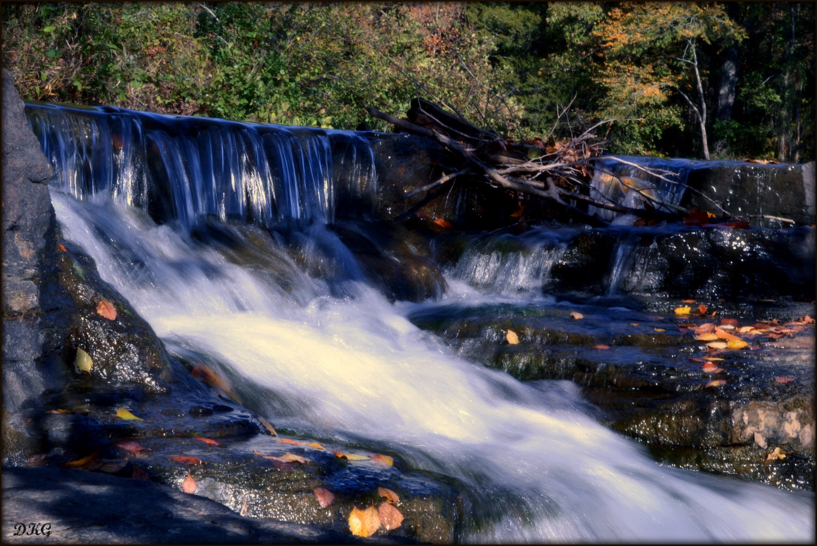
Natural Dam, AR

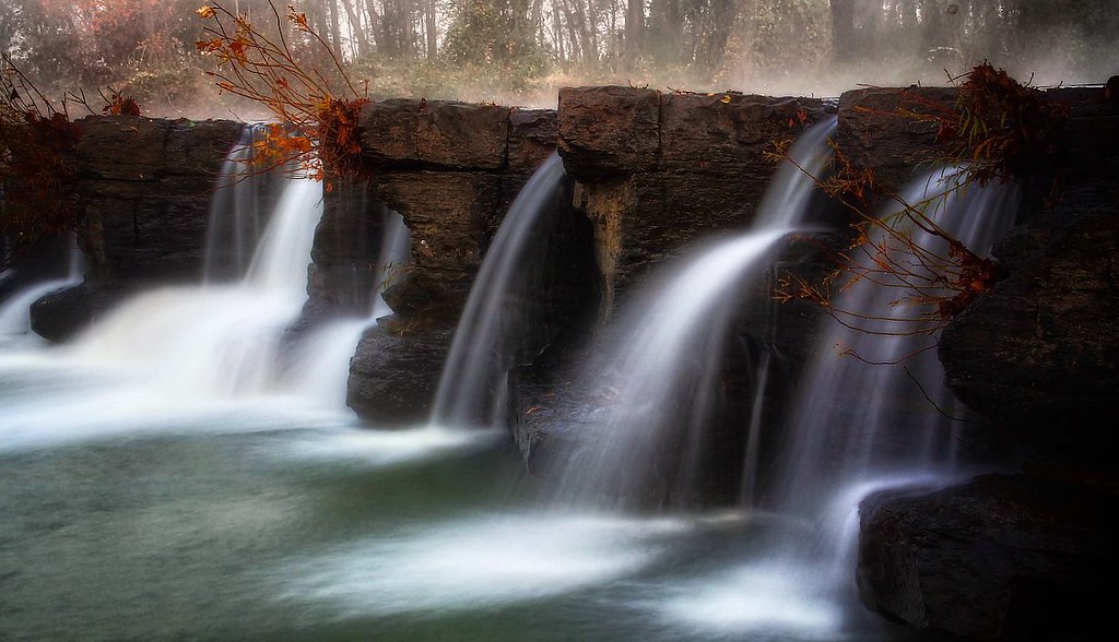
foggy falls
doing what water does
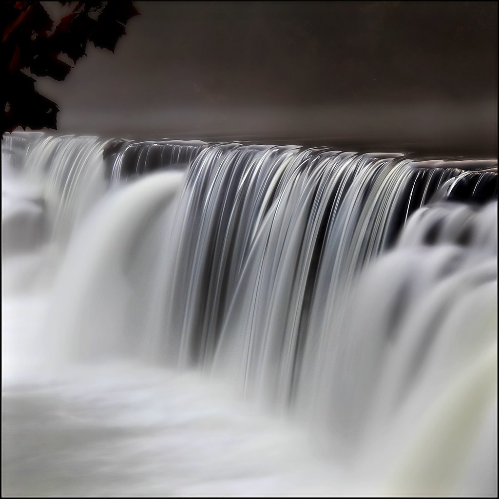
HDR WATER
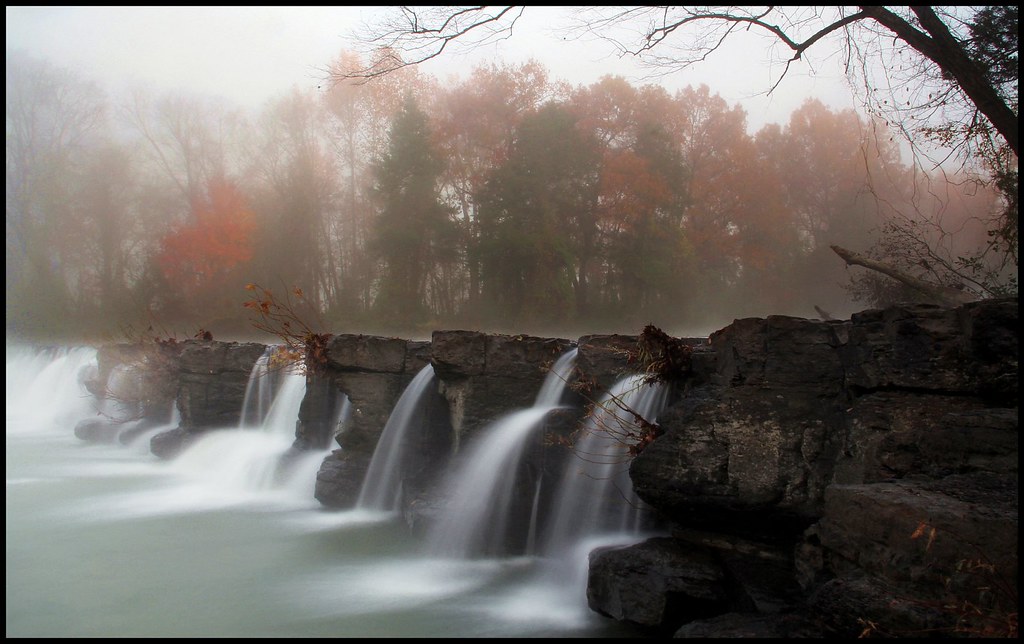
Fog - 1. Man - 0.
Natural Dam
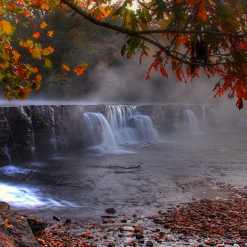
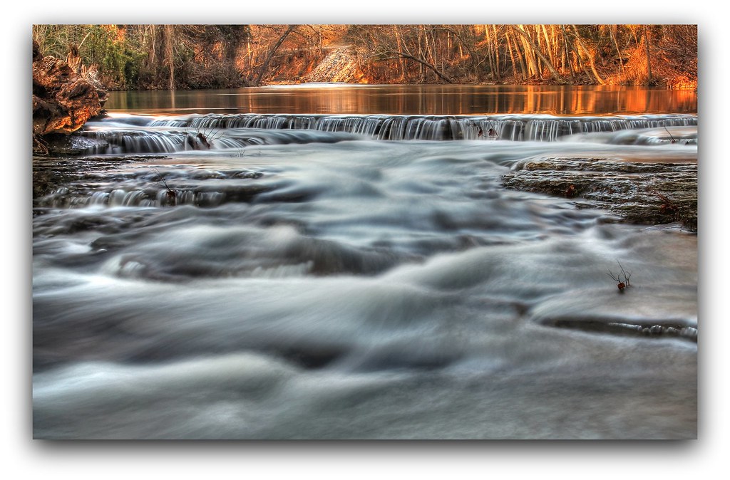
Fall morning at Natural Dam

Forest Frost.....

the wall
Natural Dam
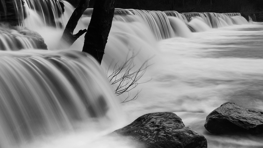
Non HDR falls

maybe it'll rain again
Natural Dam, Ar.
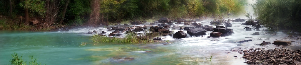
Downstream Pano

After the Rain
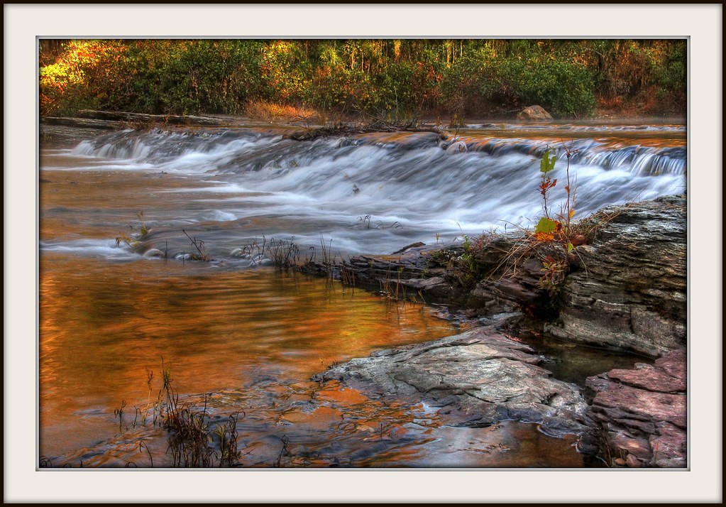
Waterfall surprise
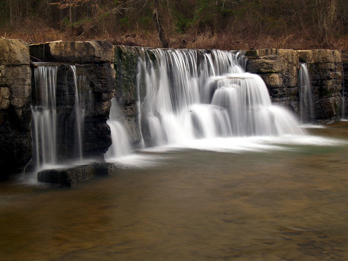
Water falls
"And The Water Flows"

Natural Dam, AR
Topographic Map of Lees Creek Township, AR, USA
Find elevation by address:

Places in Lees Creek Township, AR, USA:
Places near Lees Creek Township, AR, USA:
Natural Dam
Peaceful Home Rd, Natural Dam, AR, USA
Cedarville Township
Uniontown Township
Cedarville
AR-59, Cedarville, AR, USA
Cedar Creek Township
8223 Biswell Rd
7909 Biswell Rd
4040 Uniontown Hwy
Crawford County
10029 Lynn Dr
Hobbtown Rd, Rudy, AR, USA
5610 Pine Hollow Rd
11050 Old 81 Loop
Oliver Springs Township
9520 Old 81 Loop
9520 Old 81 Loop
2865 Ar-348
Rudy
Recent Searches:
- Elevation of Estates Loop, Priest River, ID, USA
- Elevation of Woodland Oak Pl, Thousand Oaks, CA, USA
- Elevation of Brownsdale Rd, Renfrew, PA, USA
- Elevation of Corcoran Ln, Suffolk, VA, USA
- Elevation of Mamala II, Sariaya, Quezon, Philippines
- Elevation of Sarangdanda, Nepal
- Elevation of 7 Waterfall Way, Tomball, TX, USA
- Elevation of SW 57th Ave, Portland, OR, USA
- Elevation of Crocker Dr, Vacaville, CA, USA
- Elevation of Pu Ngaol Community Meeting Hall, HWHM+3X7, Krong Saen Monourom, Cambodia