Elevation of Cedar Creek Township, AR, USA
Location: United States > Arkansas > Crawford County >
Longitude: -94.294888
Latitude: 35.6425099
Elevation: 359m / 1178feet
Barometric Pressure: 97KPa
Elevation Map:
Satellite Map:
Related Photos:
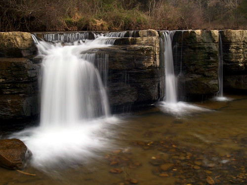
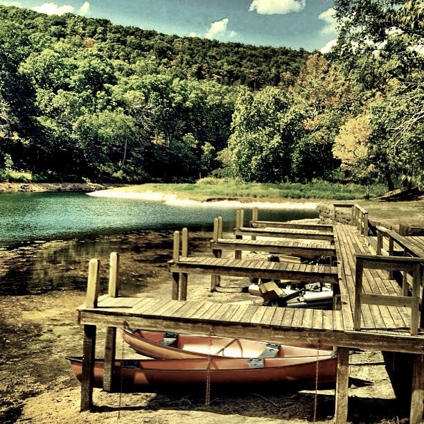
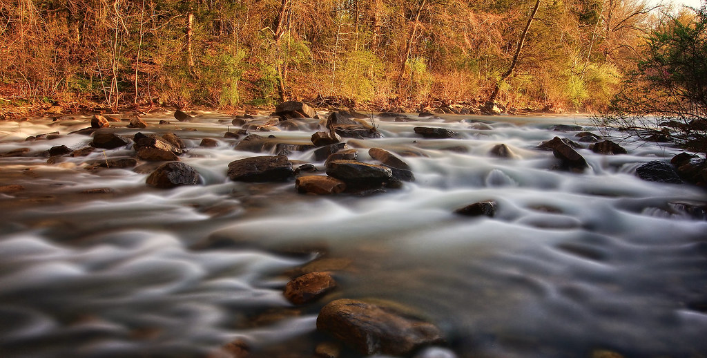
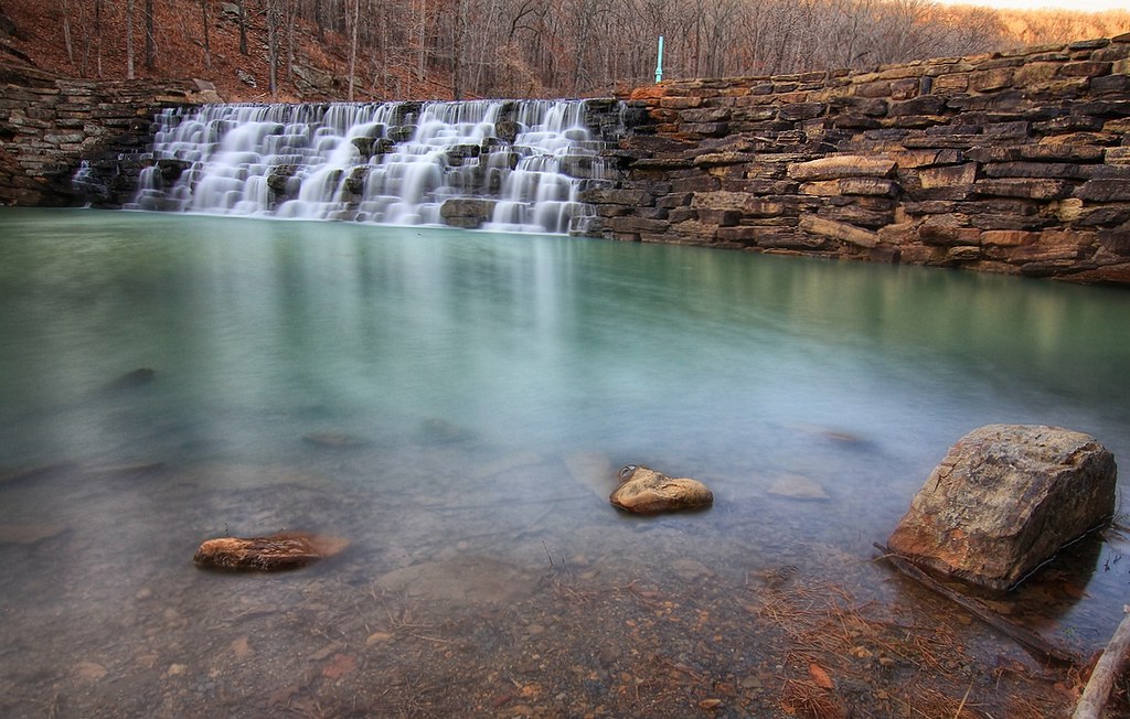
Natural Dam
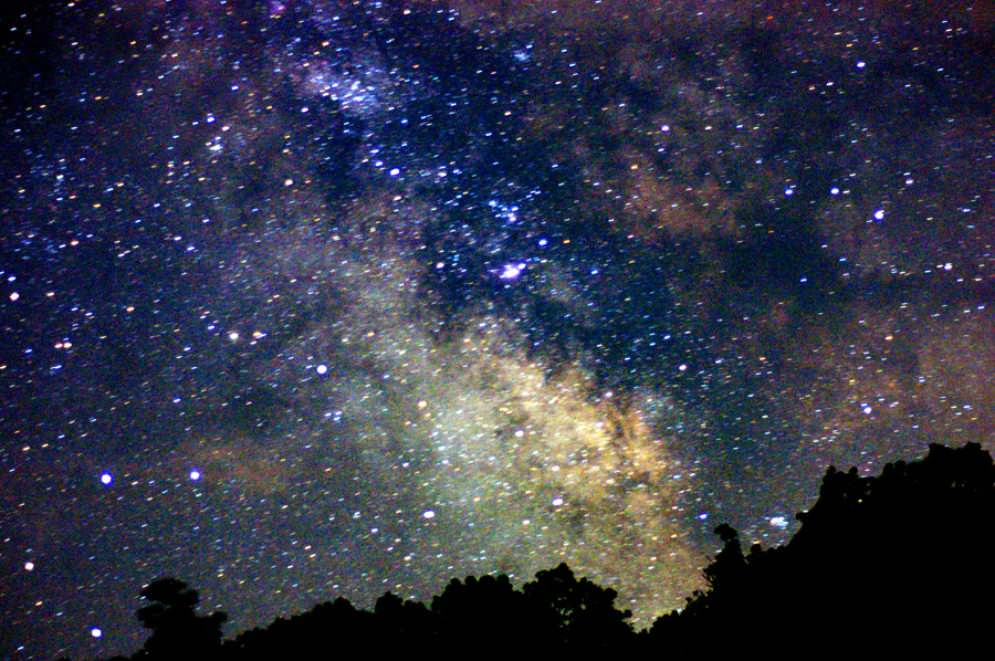
Summer Milky Way Full Frame at 50mm f/1.7
Natural Damn
Natural Dam
I could hear the earth's chorus and all I could do was cry for the beauty and the pain.

Death is Like This & I'm Sorry for Them All (9-11 attacks were 11 years ago today).
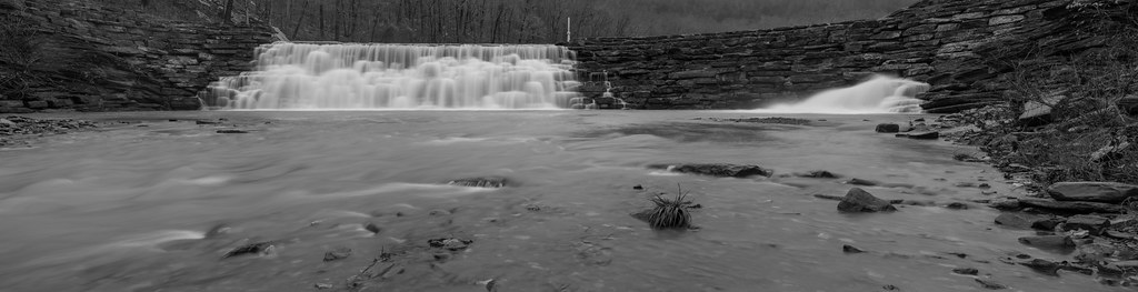
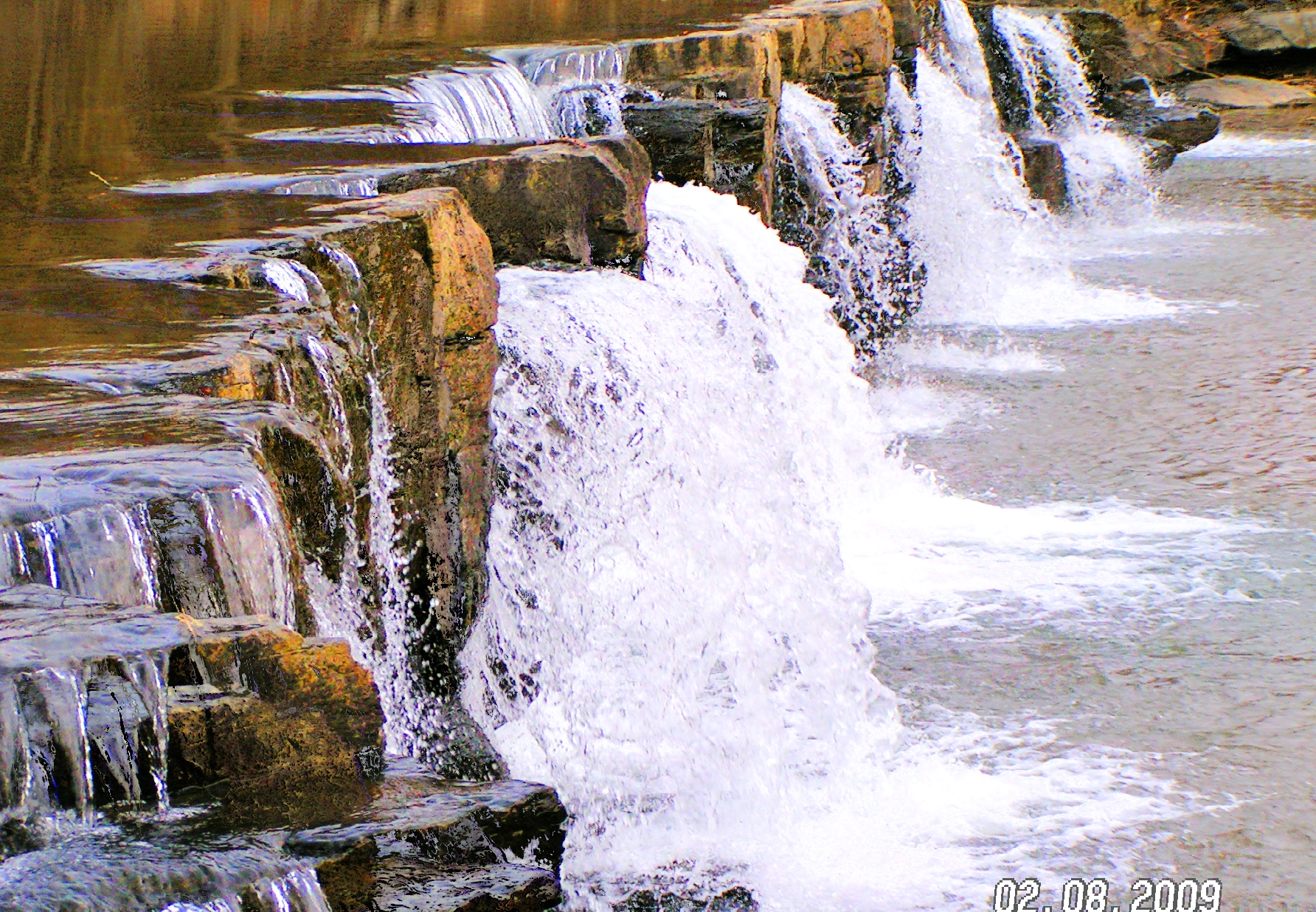
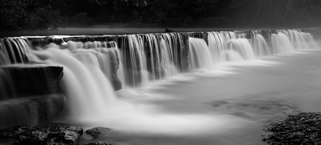
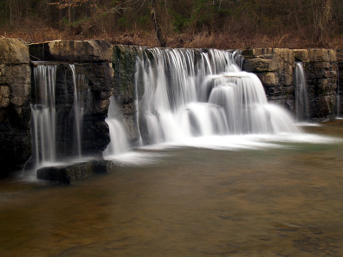
Devil's Den Spillway
IMG_1149.2
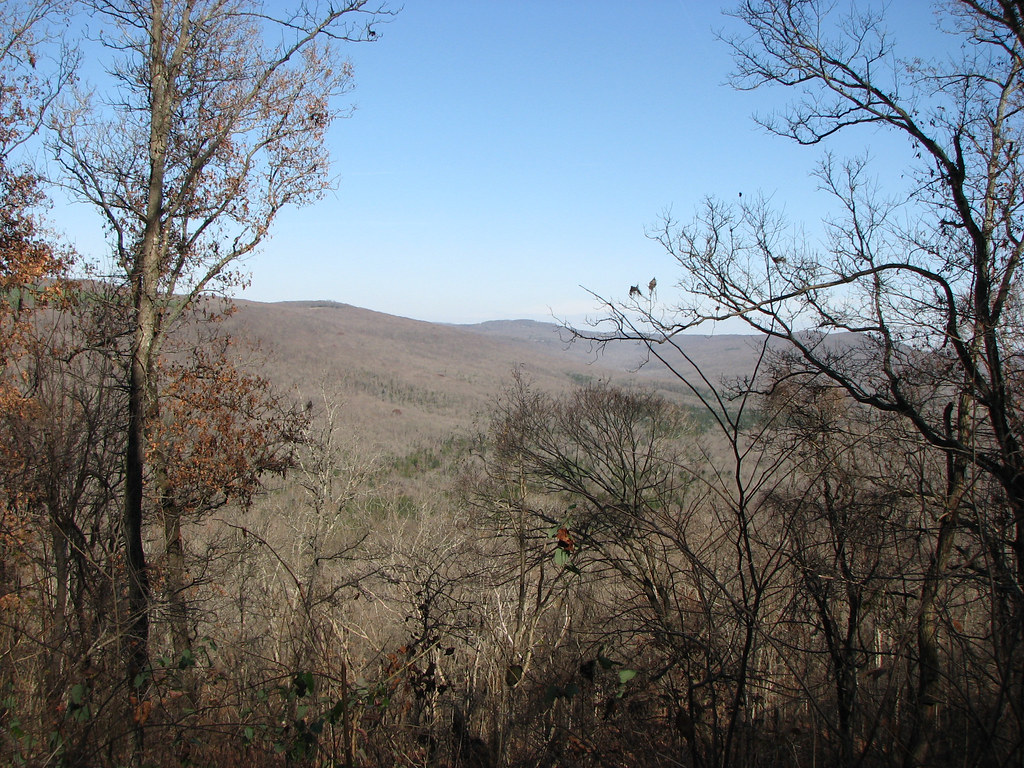
Butterfield View
100 yards south of Natural Dam
Natural Dam revisited

Natural Dam
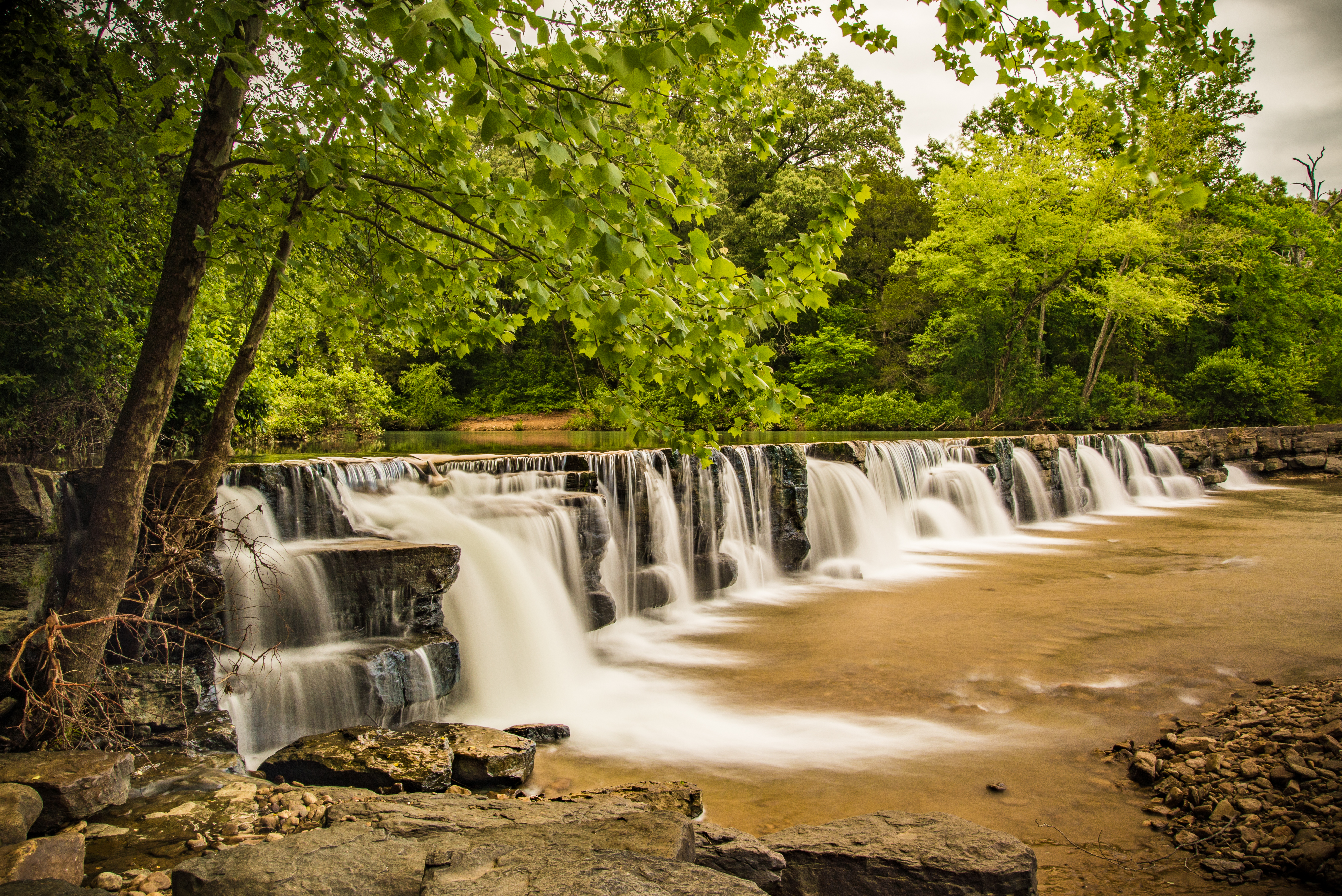
Natural Dam
Last November

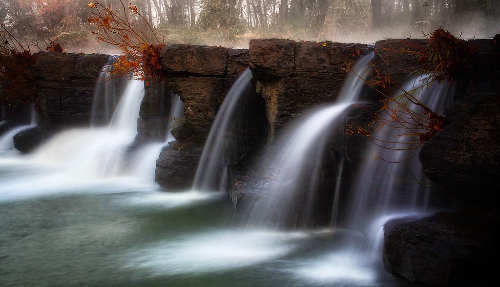
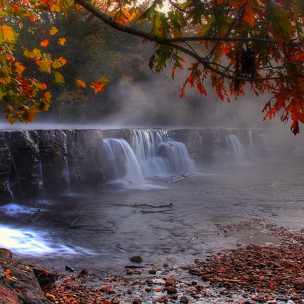
foggy falls

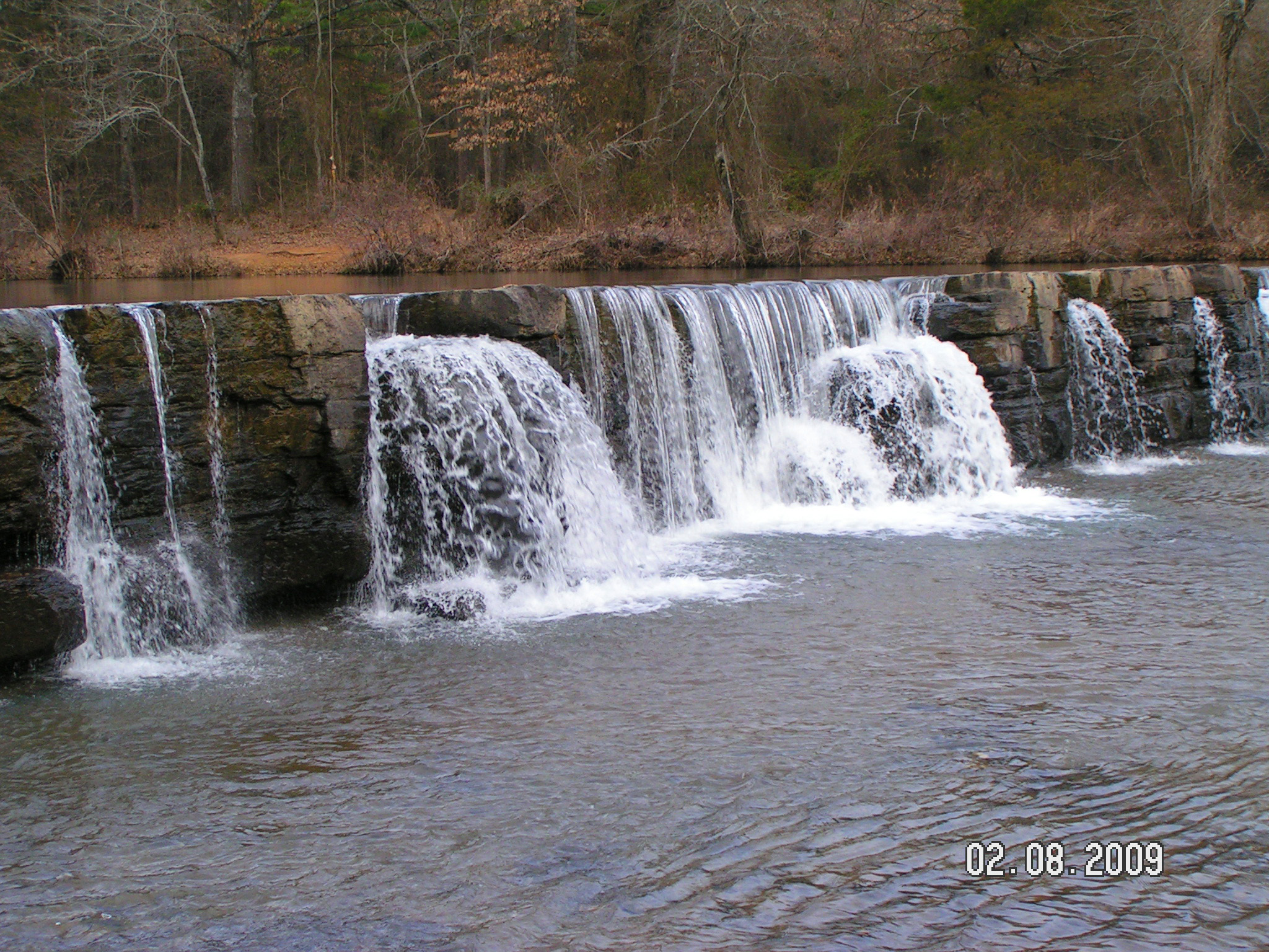
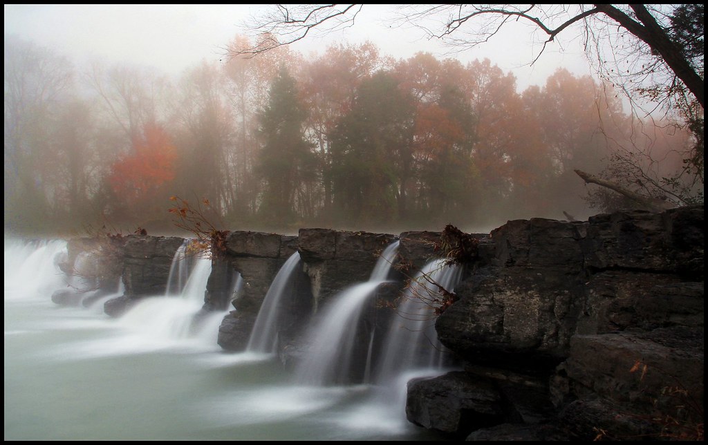
Natural Dam, AR
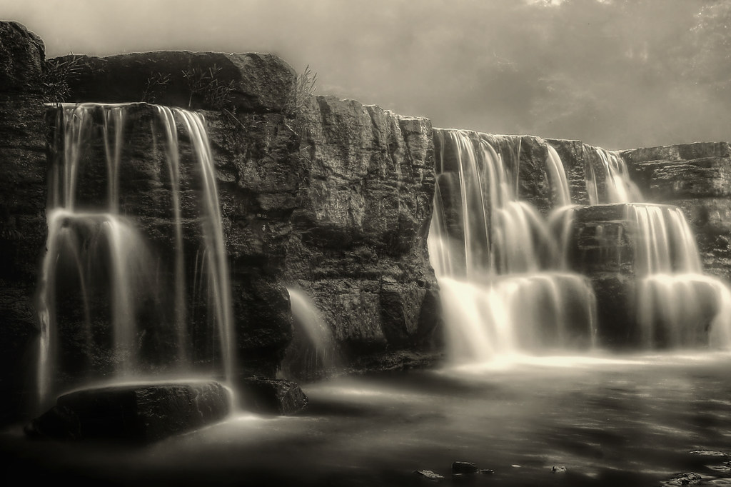
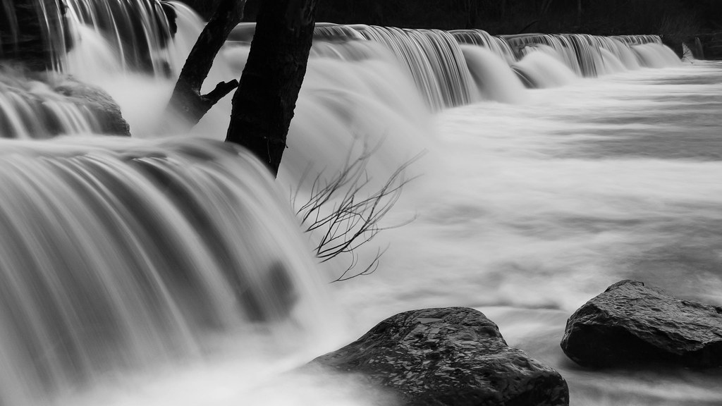
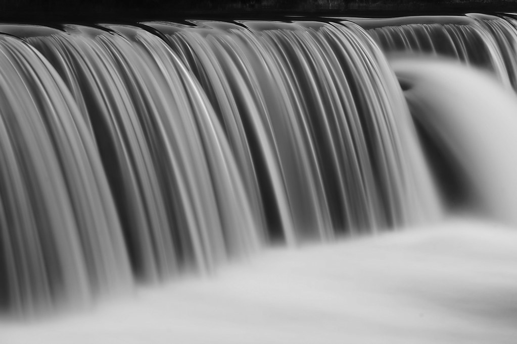
Natural Dam black and white
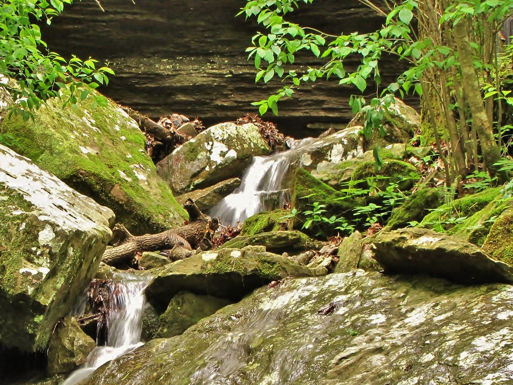
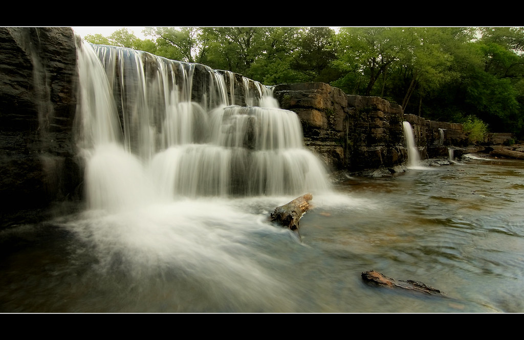
doing what water does
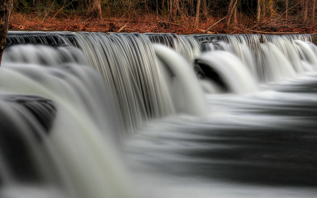
HDR WATER
Natural Dam, Ar
Fog - 1. Man - 0.
Natural Dam
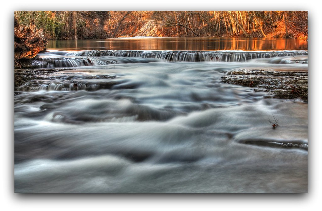
Fall morning at Natural Dam
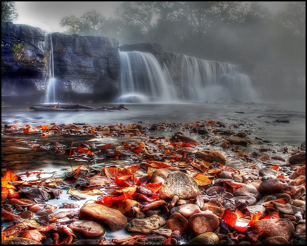
Natural Dam HDR
Devil's Den Spillway

Forest Frost.....
the wall
Natural Dam
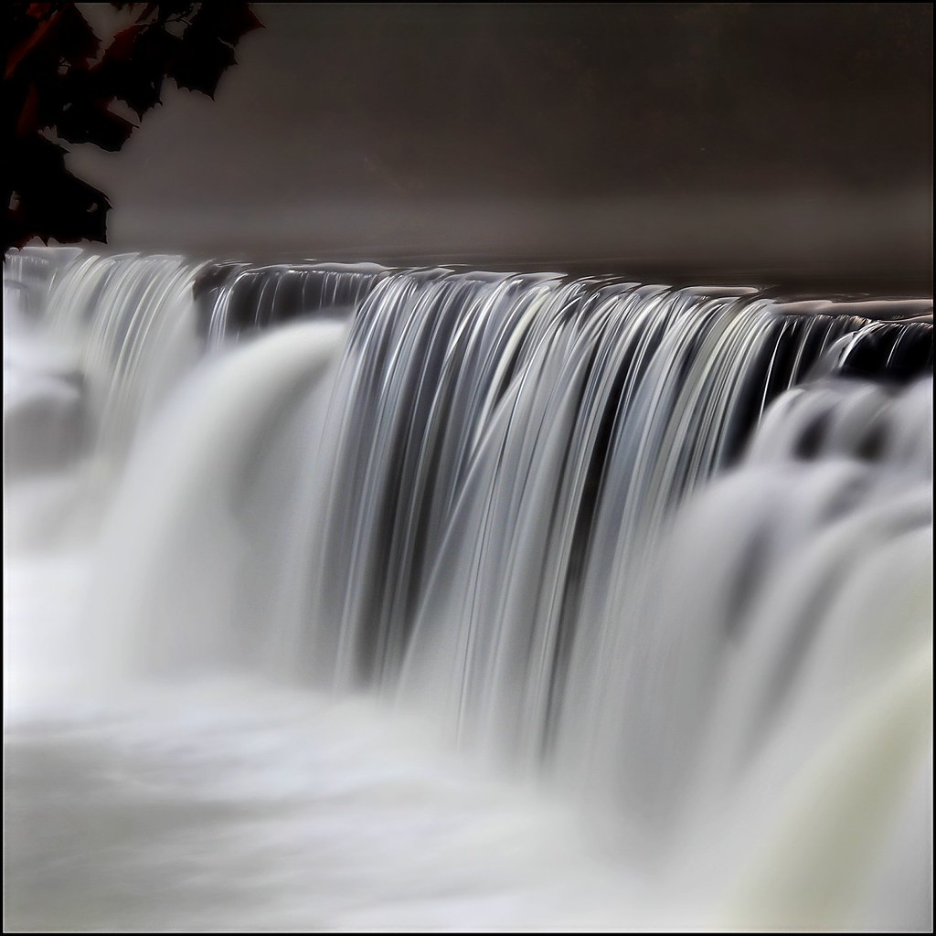
Non HDR falls
Topographic Map of Cedar Creek Township, AR, USA
Find elevation by address:

Places near Cedar Creek Township, AR, USA:
11050 Old 81 Loop
10029 Lynn Dr
Hobbtown Rd, Rudy, AR, USA
Crawford County
9520 Old 81 Loop
9520 Old 81 Loop
Cedarville Township
Peaceful Home Rd, Natural Dam, AR, USA
Oliver Springs Township
Natural Dam
AR-59, Cedarville, AR, USA
Cedarville
Rudy
Old Rudy Rd, Alma, AR, USA
Rudy Township
Lees Creek Township
2865 Ar-348
4040 Uniontown Hwy
Uniontown Township
8223 Biswell Rd
Recent Searches:
- Elevation of Foligno, Province of Perugia, Italy
- Elevation of Blauwestad, Netherlands
- Elevation of Bella Terra Blvd, Estero, FL, USA
- Elevation of Estates Loop, Priest River, ID, USA
- Elevation of Woodland Oak Pl, Thousand Oaks, CA, USA
- Elevation of Brownsdale Rd, Renfrew, PA, USA
- Elevation of Corcoran Ln, Suffolk, VA, USA
- Elevation of Mamala II, Sariaya, Quezon, Philippines
- Elevation of Sarangdanda, Nepal
- Elevation of 7 Waterfall Way, Tomball, TX, USA