Elevation of Villethierry, France
Location: France > Bourgogne-franche-comté > Yonne >
Longitude: 3.0738789
Latitude: 48.263656
Elevation: 154m / 505feet
Barometric Pressure: 99KPa
Elevation Map:
Satellite Map:
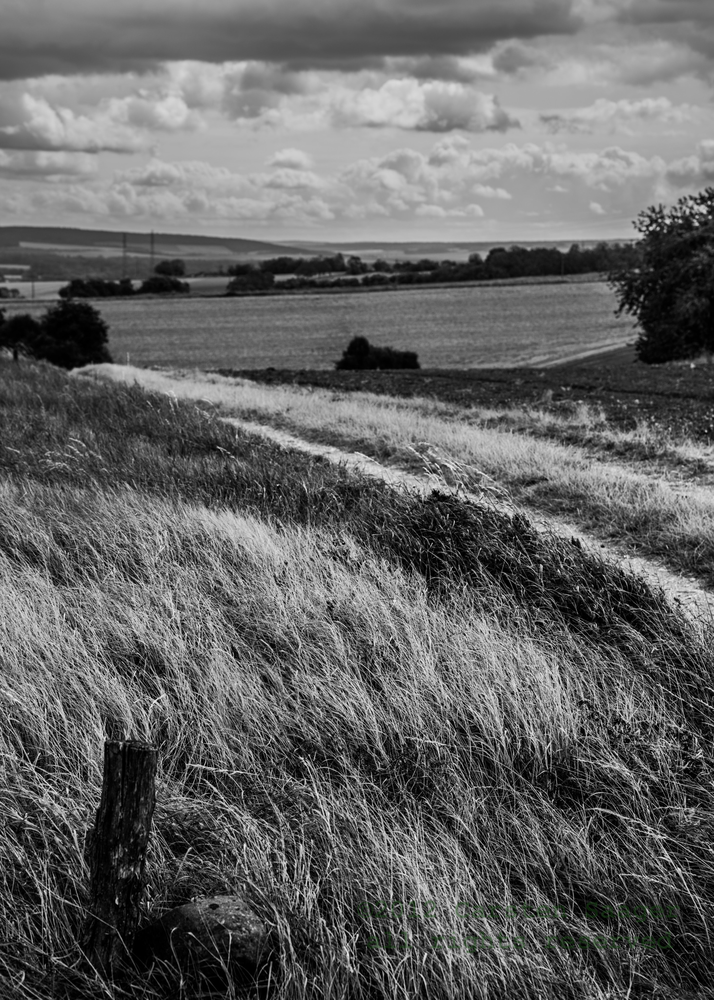
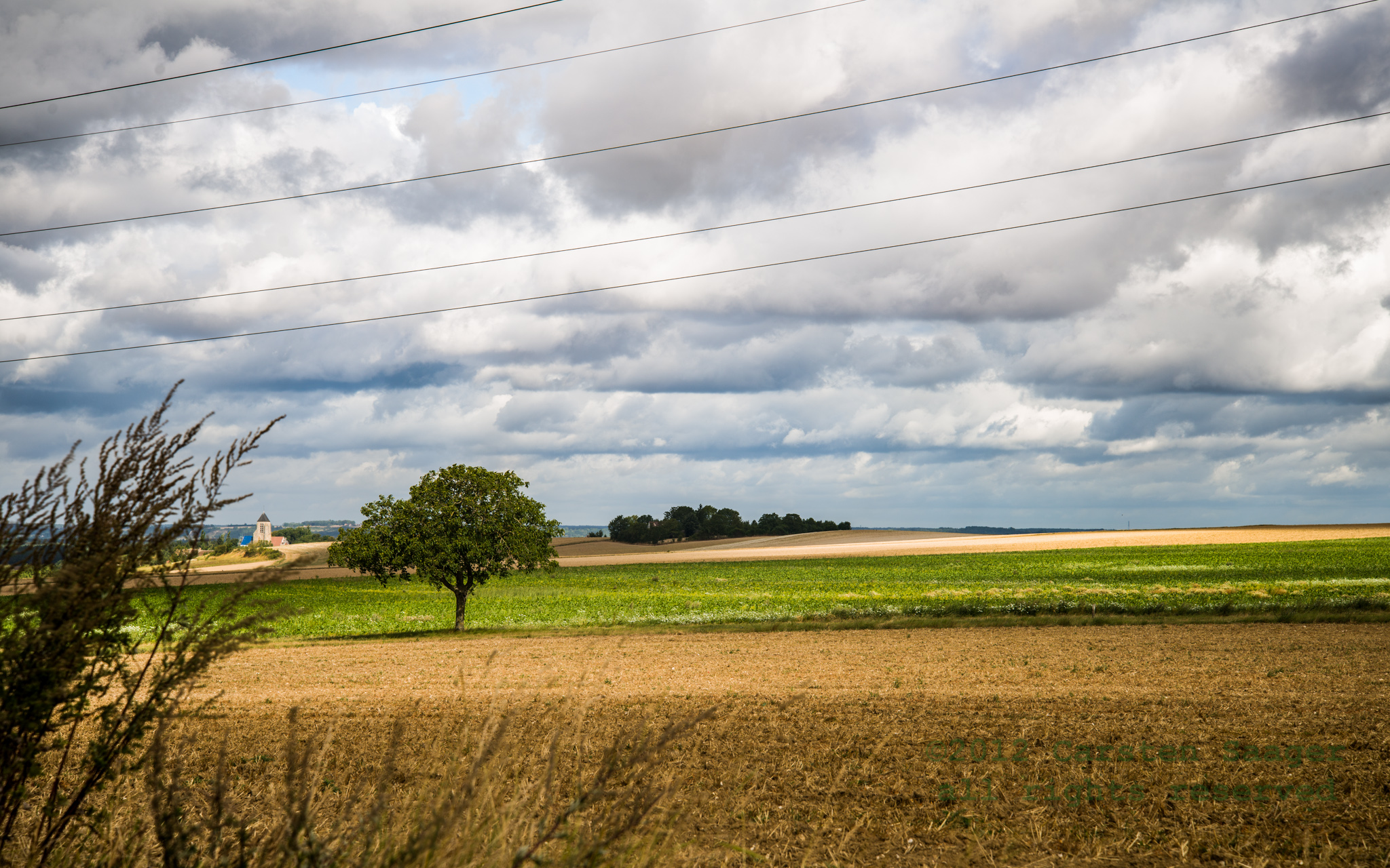
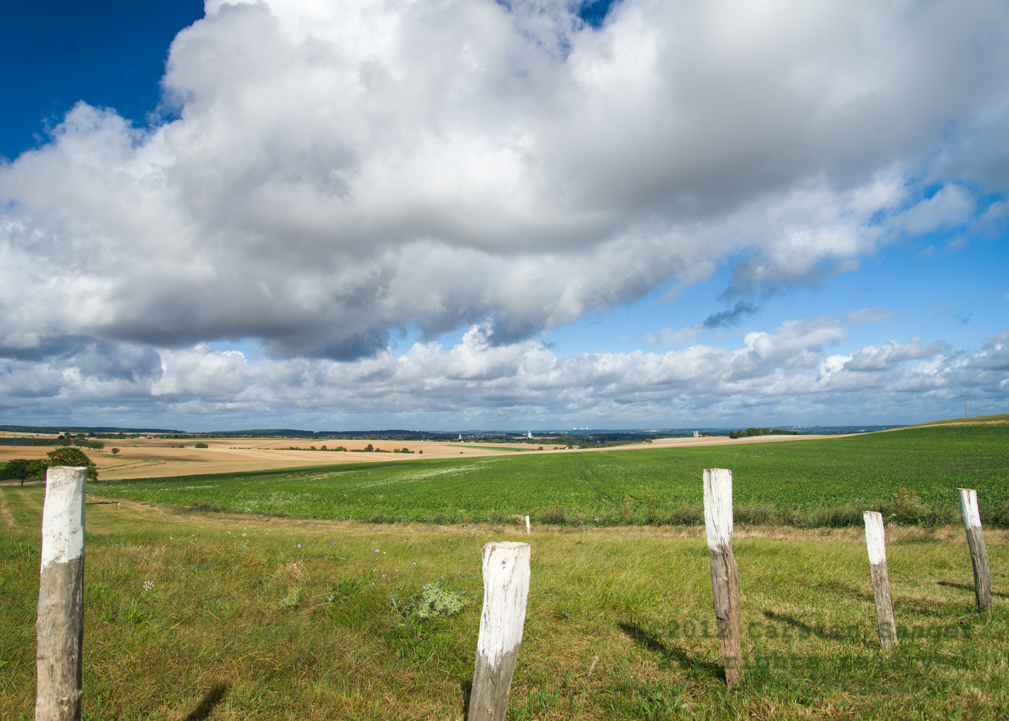
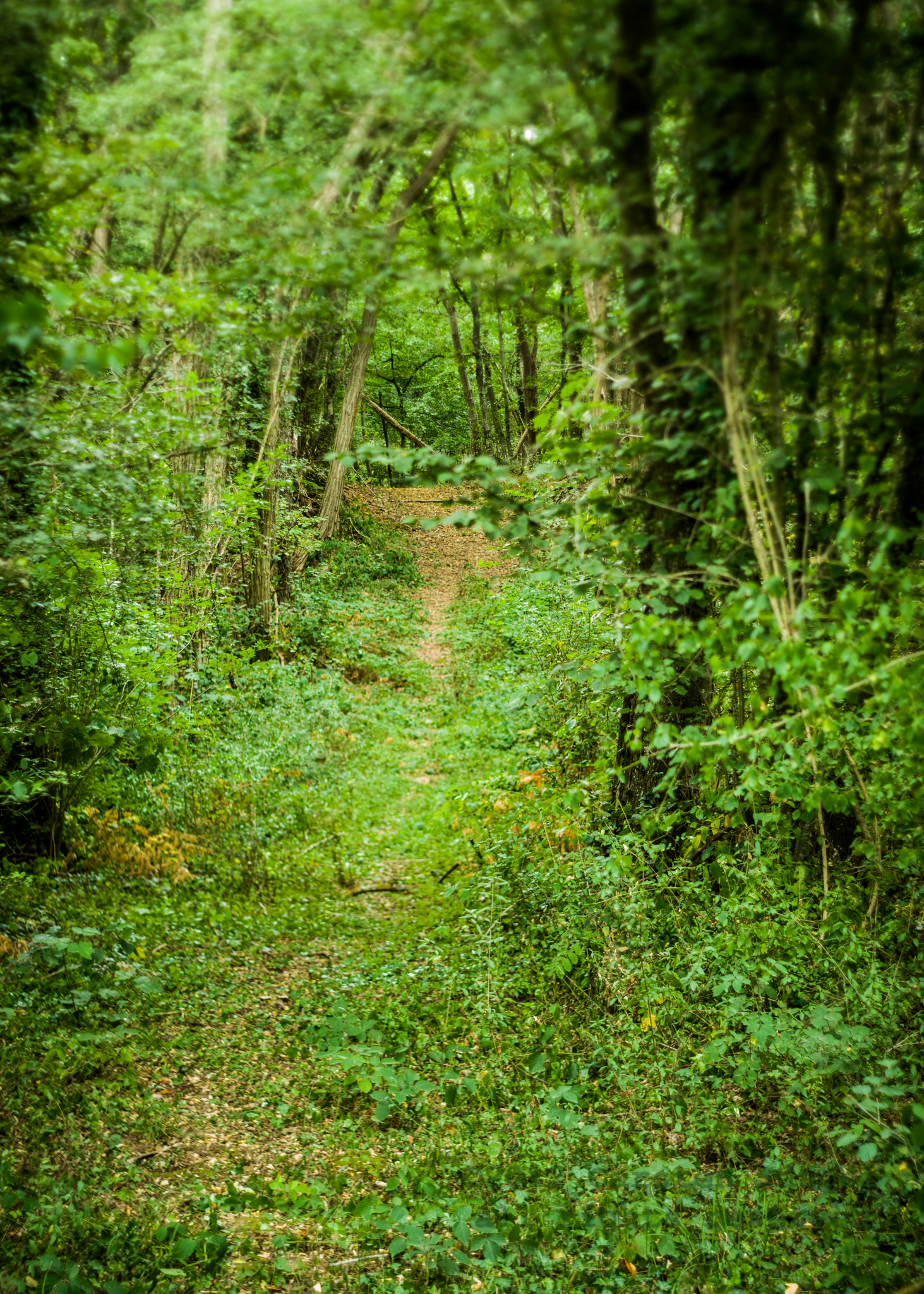
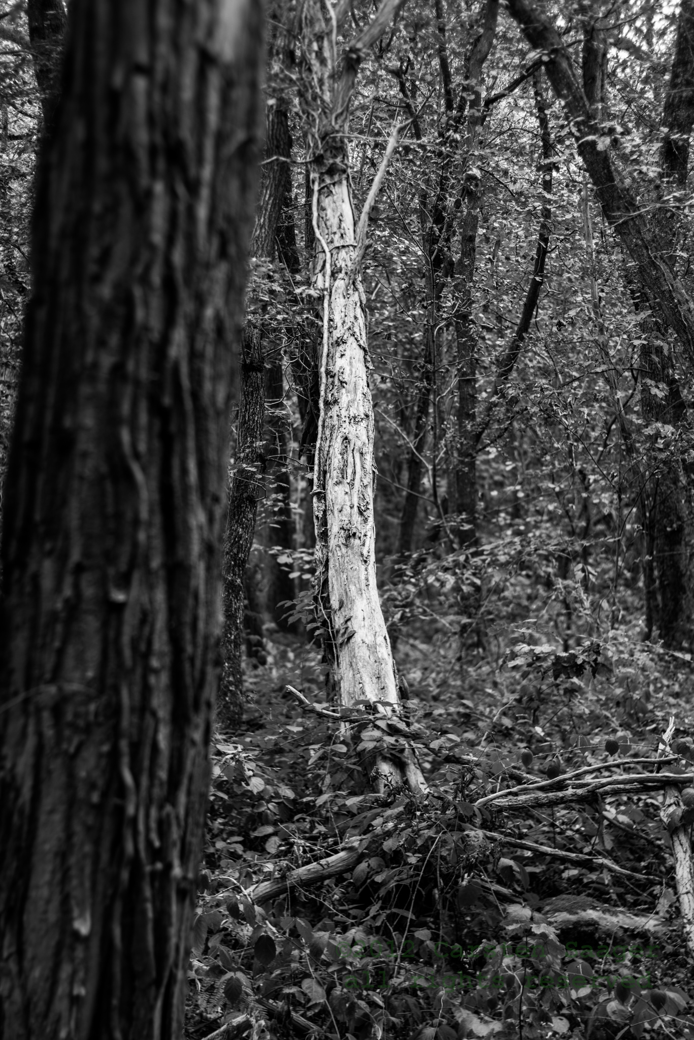
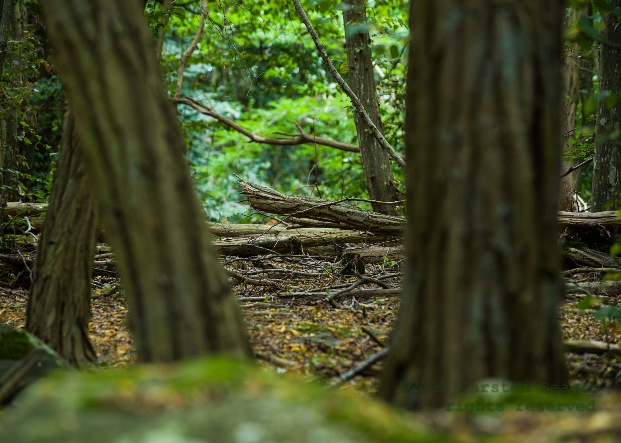
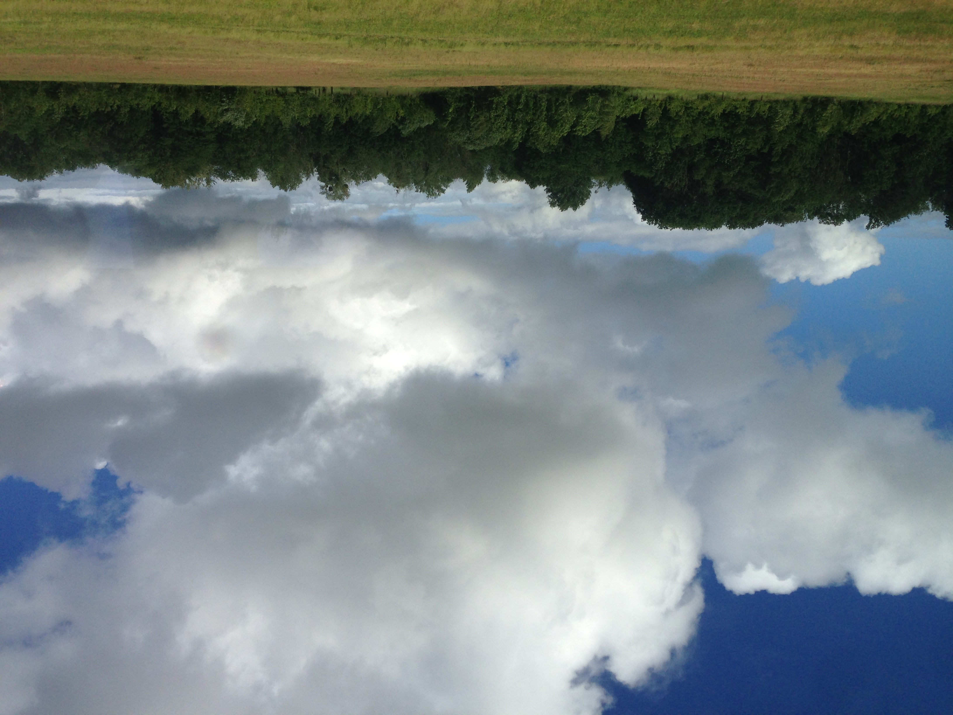
Related Photos:
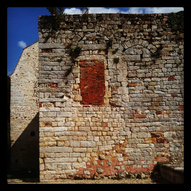
Not a good window to take...
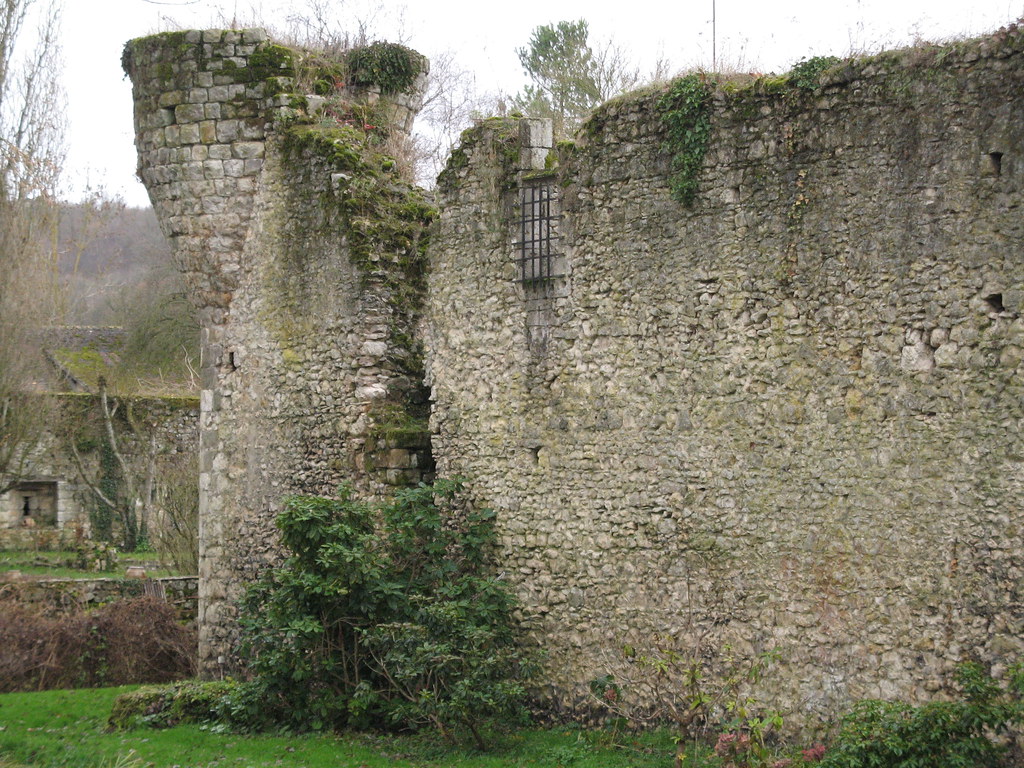
DORMELLES - Fort de Challeau
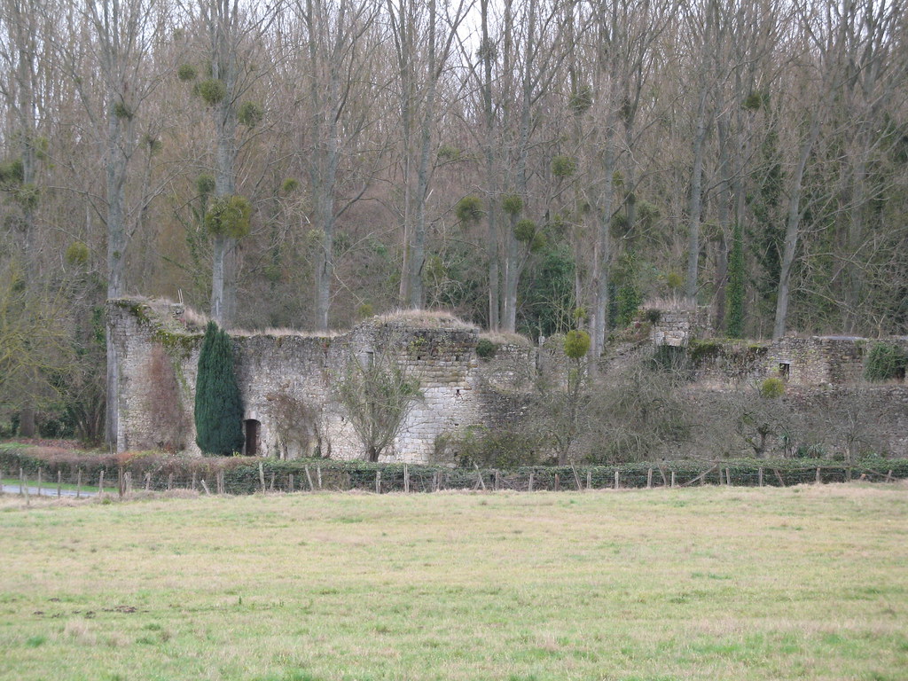
DORMELLES - Château de Challeau
2012-08-25-CSA_5547.jpg
2012-08-25-CSA_5588.jpg
2012-08-25-CSA_5563.jpg
2012-08-25-CSA_5538.jpg
2012-08-26-CSA_5796.jpg
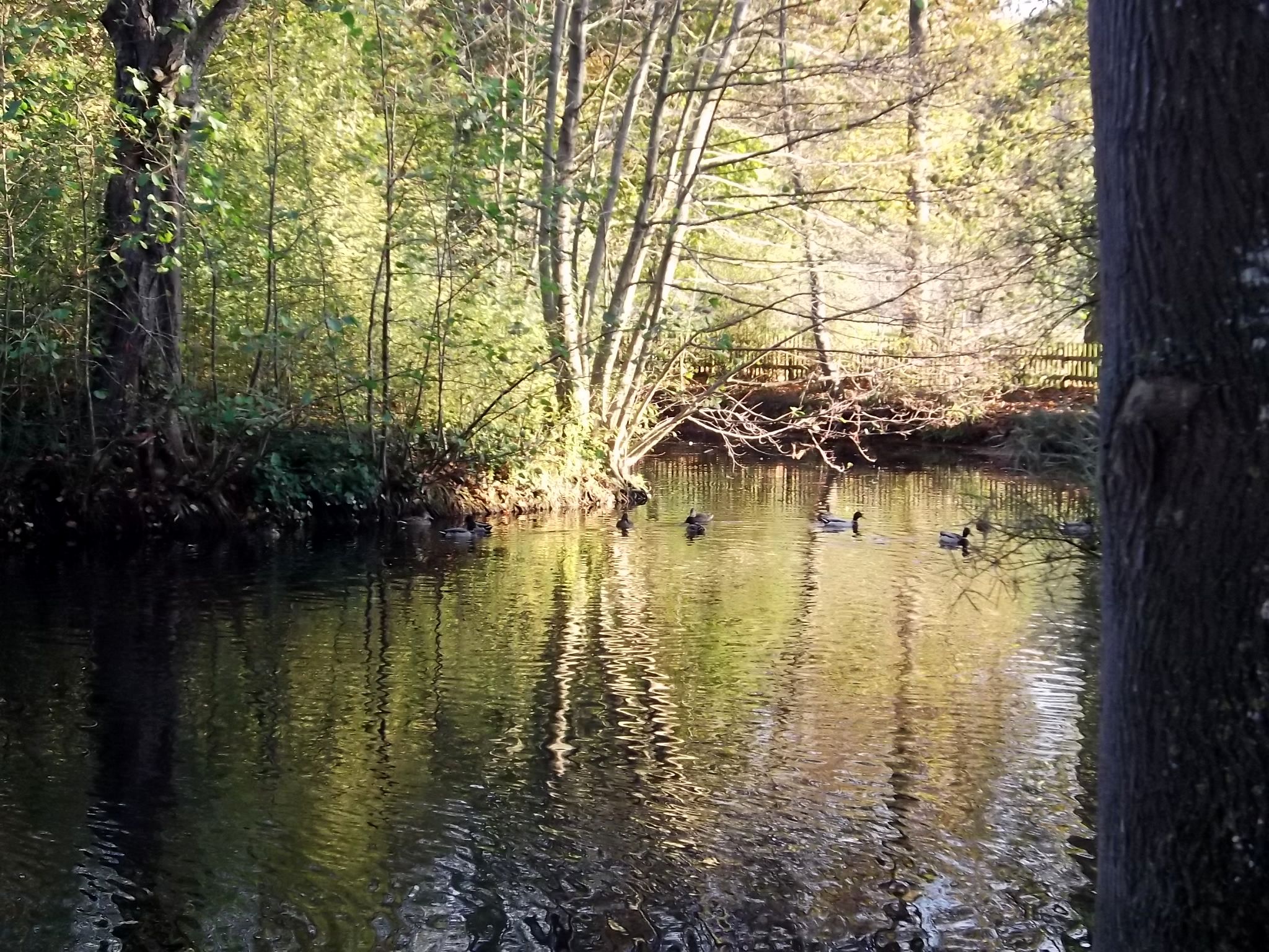
mare aux canards
2012-08-25-CSA_5526.jpg
2012-08-25-CSA_5682.jpg
2012-08-25-CSA_5593.jpg
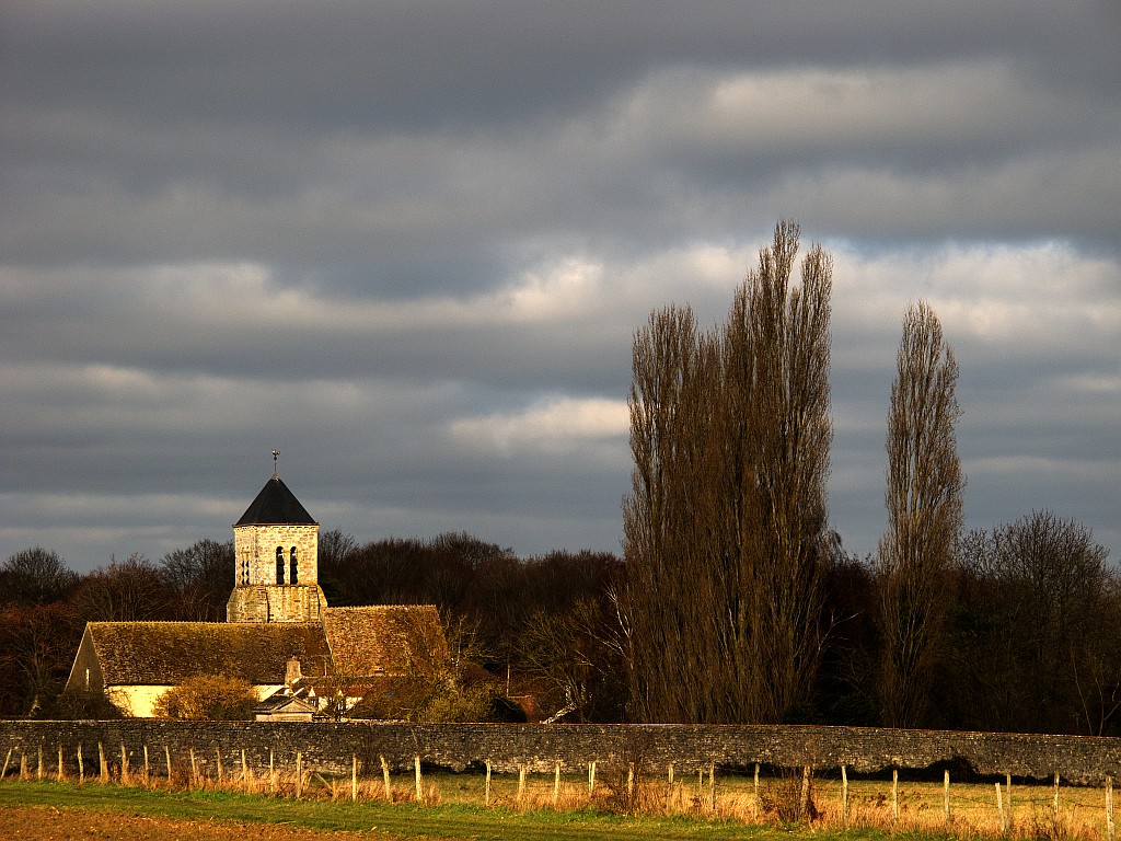
Une église de campagne
2012-08-25-CSA_5690.jpg
2012-08-25-CSA_5527.jpg
2012-08-25-CSA_5543.jpg

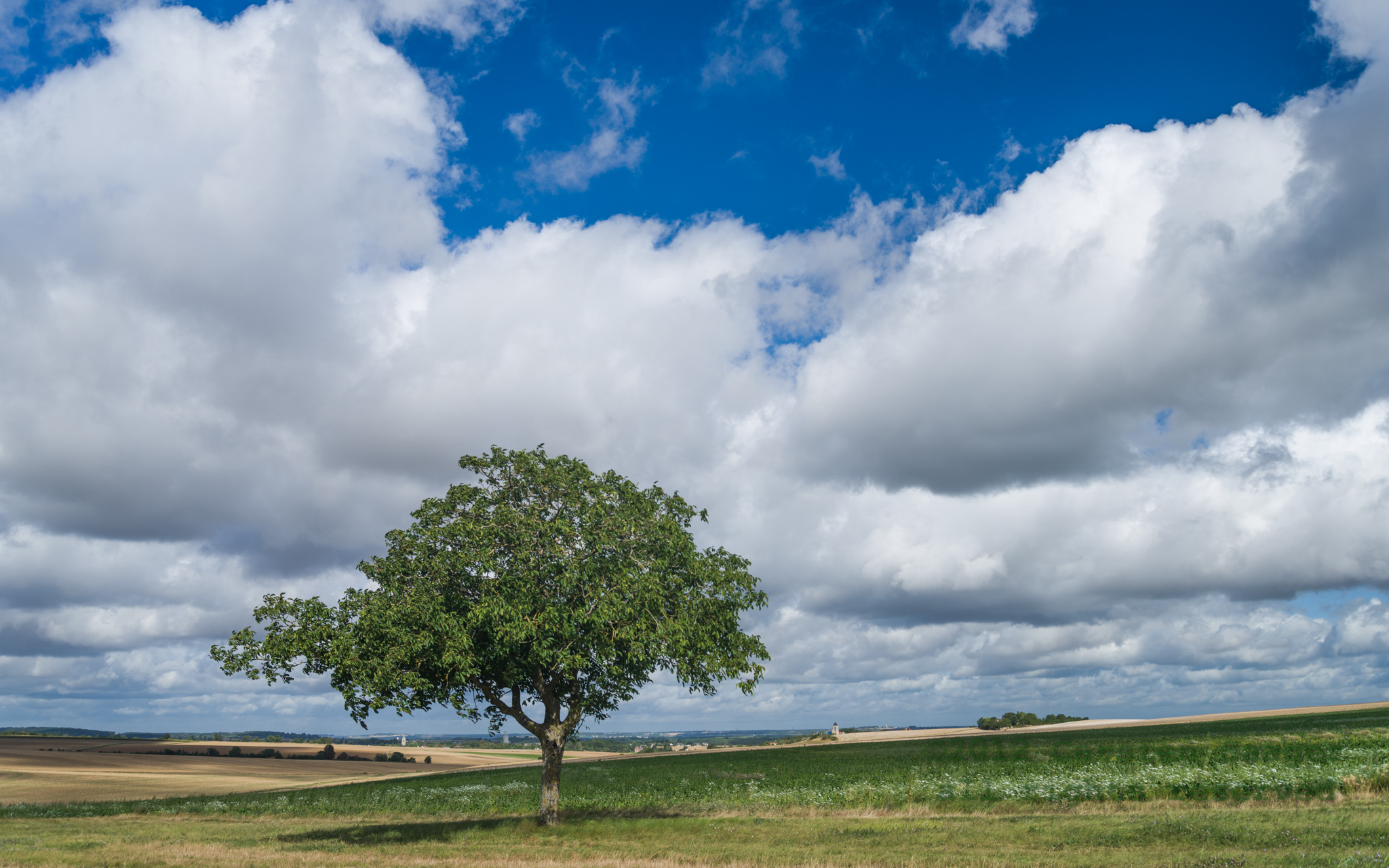
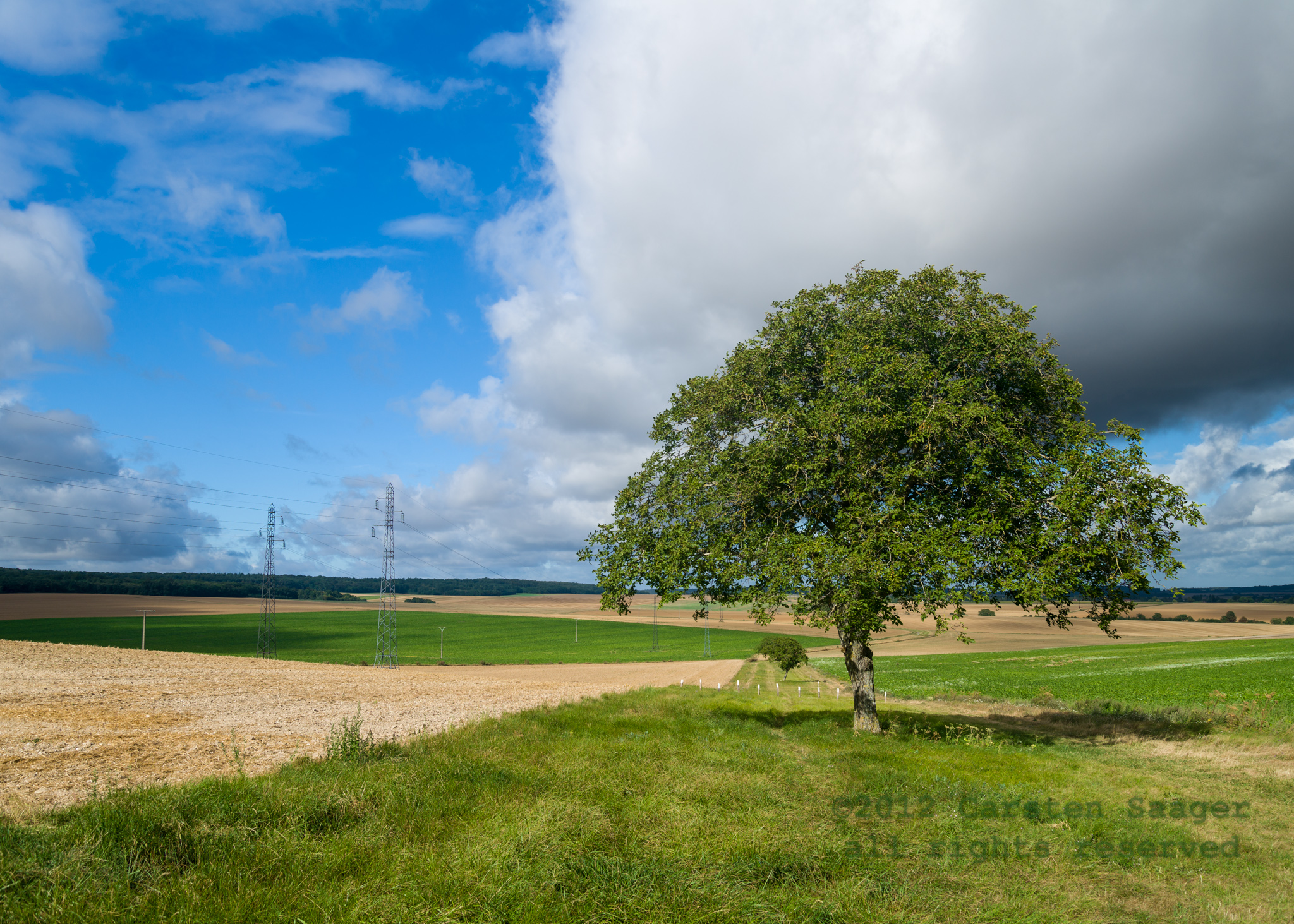
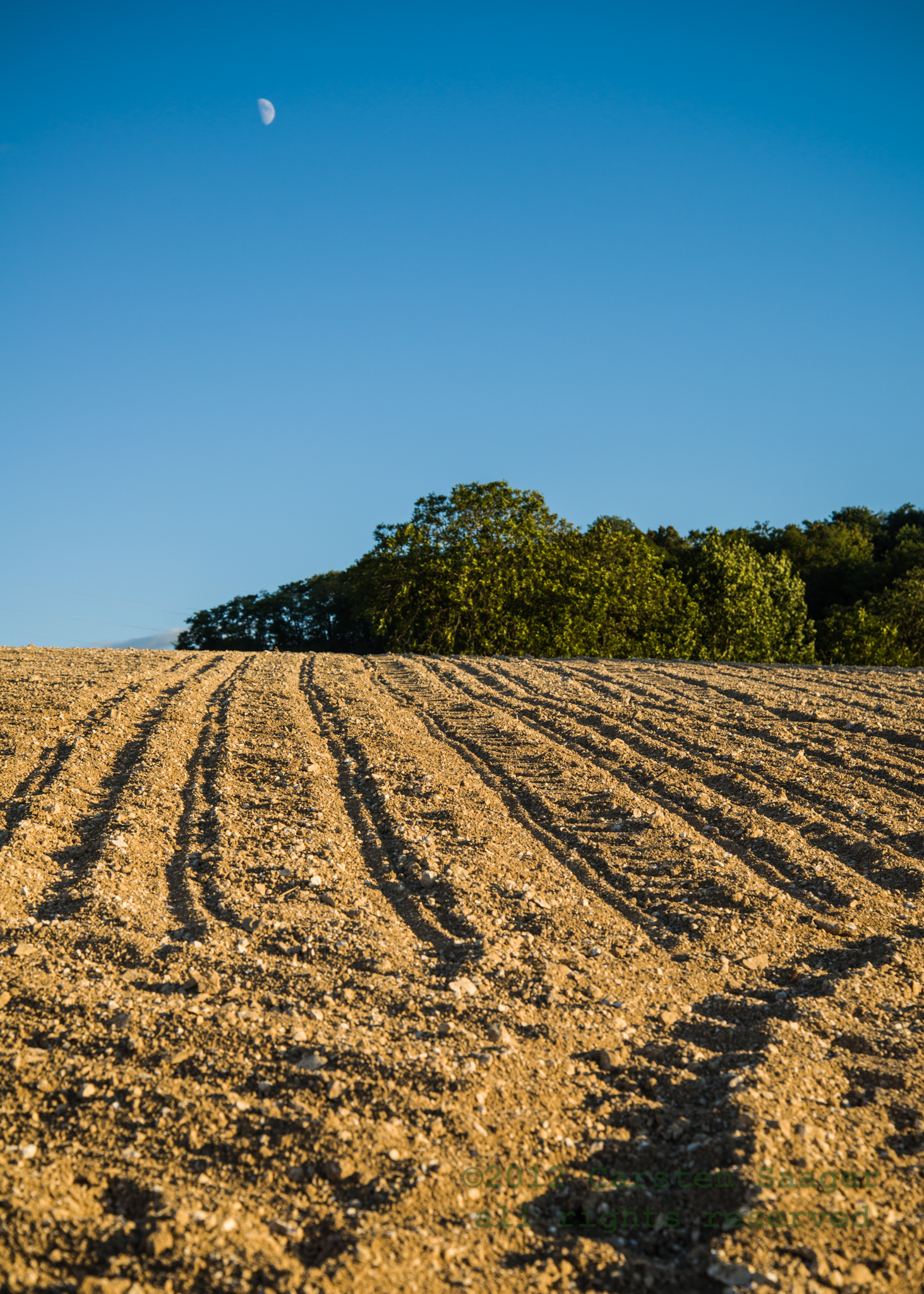
Dans les champs
2012-08-26-CSA_5808.jpg

_DSC0623-Modifier-Modifier-Modifier.jpg

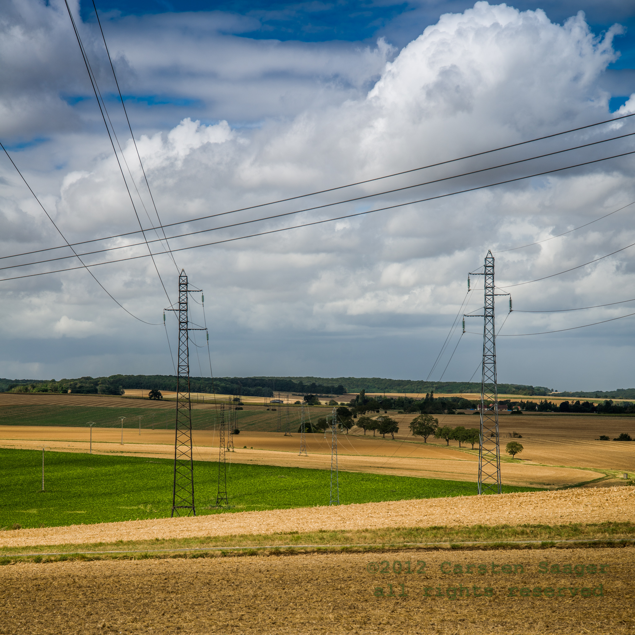
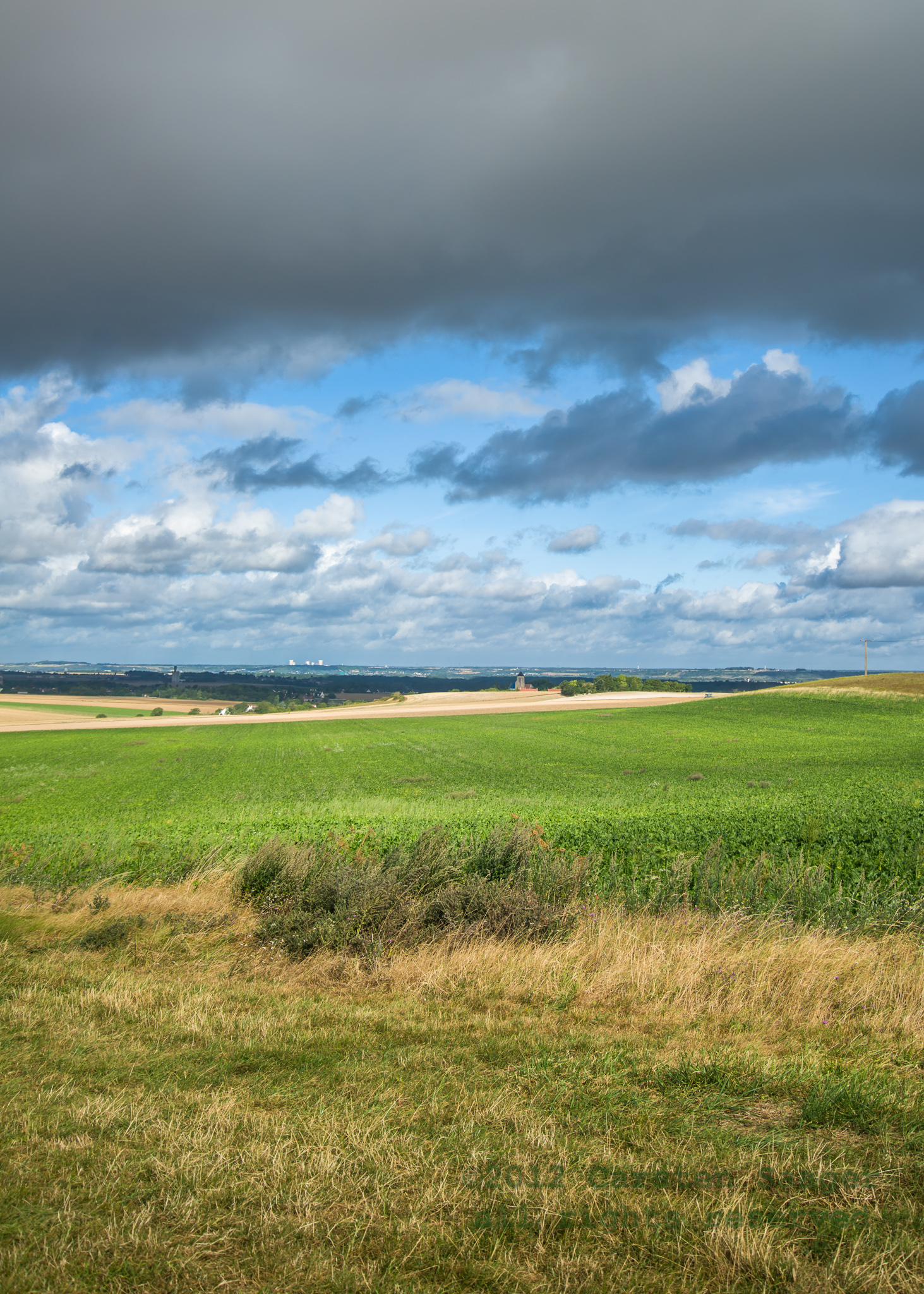
Entre ciel et terre

Pont-sur-Yonne
2012-08-26-CSA_5815.jpg
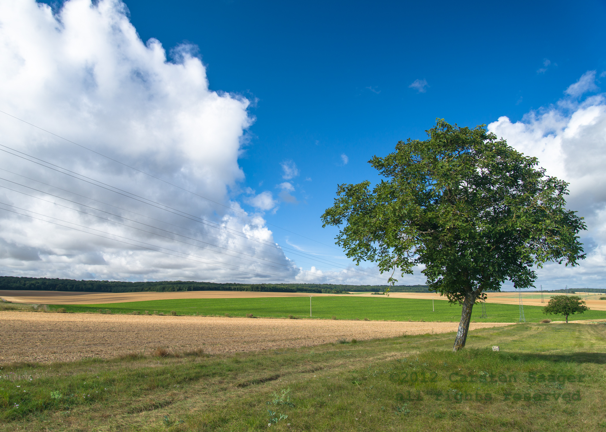
To Avallon

2013-02-11-272
Topographic Map of Villethierry, France
Find elevation by address:

Places in Villethierry, France:
Places near Villethierry, France:
23 Rue de la Mairie, Villethierry, France
Blennes
3 Rue des Moines, Blennes, France
Brannay
7 Gr Grande Rue, Brannay, France
Villeblevin
2 Rue des Buttes, Villeblevin, France
Chaumont
58 Avenue des Marronniers, Chaumont, France
2 La Bernagout, Brannay, France
1 La Grande Borne, Montacher-Villegardin, France
Montacher-villegardin
Marolles-sur-seine
12 Le Parc de St Donain, Marolles-sur-Seine, France
13 Les Prés Joly, Gravon, France
Courtoin
Gravon
9 La Charbonnière, Courtoin, France
Savigny-sur-clairis
12 Rue du Lavoir, Savigny-sur-Clairis, France
Recent Searches:
- Elevation of Spaceport America, Co Rd A, Truth or Consequences, NM, USA
- Elevation of Warwick, RI, USA
- Elevation of Fern Rd, Whitmore, CA, USA
- Elevation of 62 Abbey St, Marshfield, MA, USA
- Elevation of Fernwood, Bradenton, FL, USA
- Elevation of Felindre, Swansea SA5 7LU, UK
- Elevation of Leyte Industrial Development Estate, Isabel, Leyte, Philippines
- Elevation of W Granada St, Tampa, FL, USA
- Elevation of Pykes Down, Ivybridge PL21 0BY, UK
- Elevation of Jalan Senandin, Lutong, Miri, Sarawak, Malaysia