Elevation map of Bourgogne-Franche-Comté, France

Location: France >

Longitude: 4.9994372

Latitude: 47.2805127

Elevation: 270m / 886feet

Barometric Pressure: 98KPa

Elevation Map:

elevation map of Bourgogne-Franche-Comté, France

Satellite Map:

Satellite map of Bourgogne-Franche-Comté, France

Related Photos:

map large publicdomain tophalf page37 geo:country=france vol0 geo:continent=europe date1896 geo:country=fr bldigital mechanicalcurator pubplacegray sysnum002819256 perchete imagesfrombook002819256 imagesfromvolume0028192560 rotatedcc otherhalf:pair=1123548873611238273123 geo:county=vesoul hasgeoref geo:osmscale=16 wp:bookspage=france georefphase2 geo:village=pesmes geo:state=bourgognefranchecomté
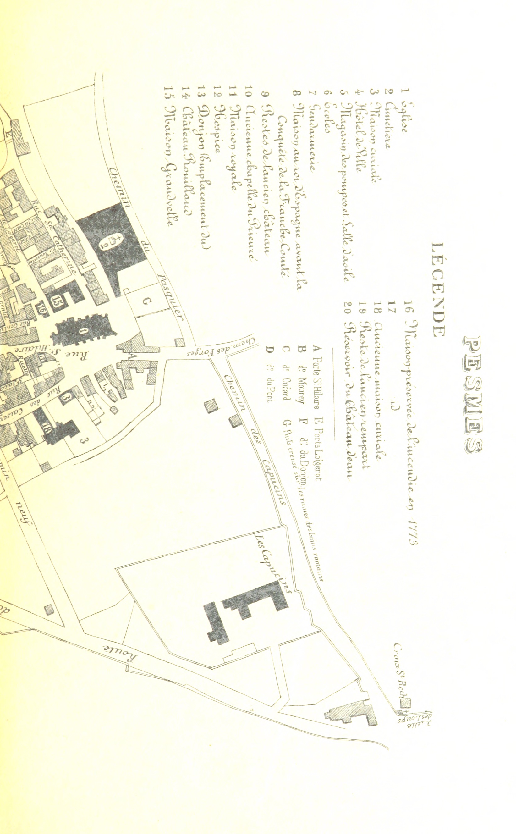
Image taken from page 37 of 'Recherches sur Pesmes, etc'
bldigital date1851 pubplacebesançon publicdomain sysnum001374934 gatinjeanhenriandbessonlouisfrançoisnicolasbishopofnîmesuzèsandalais large vol0 page57 mechanicalcurator imagesfrombook001374934 imagesfromvolume0013749340 map otherhalf:pair=1103720516411036189104 righthalf wp:bookspage=france georefphase2 hasgeoref geo:osmscale=10 geo:continent=europe geo:country=fr geo:country=france geo:state=bourgognefranchecomté geo:county=vesoul
Image taken from page 57 of 'Histoire de la ville de Gray et de ses monuments. [With plates.]'
bookcentury1900 bookdecade1900 bookyear1906 bookpublisherpariscolin booksubjectfrancedescriptionandtravel bookidalbumgographiq00dubouoft bookauthorduboismarcel18561916 bookauthorguycamille1860 bookleafnumber229 bookcontributorrobartsuniversityoftoronto booksponsoruniversityoftoronto bookcollectionrobarts bookcollectiontoronto
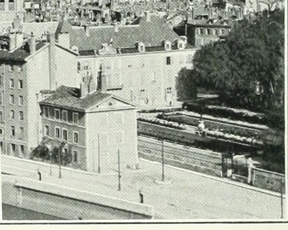
Image from page 229 of "Album géographique: La France" (1906)
bldigital date1872 pubplaceparis publicdomain sysnum000710315 clarétiejules large vol01 page511 mechanicalcurator imagesfrombook000710315 imagesfromvolume00071031501 map otherhalf:pair=1109750288611098365435 righthalf wp:bookspage=synopticindexfrance georefphase2 wp:bookspagesection=frfrancoprussianwar hasgeoref geo:osmscale=8 geo:continent=europe geo:country=fr geo:country=france geo:state=bourgognefranchecomté
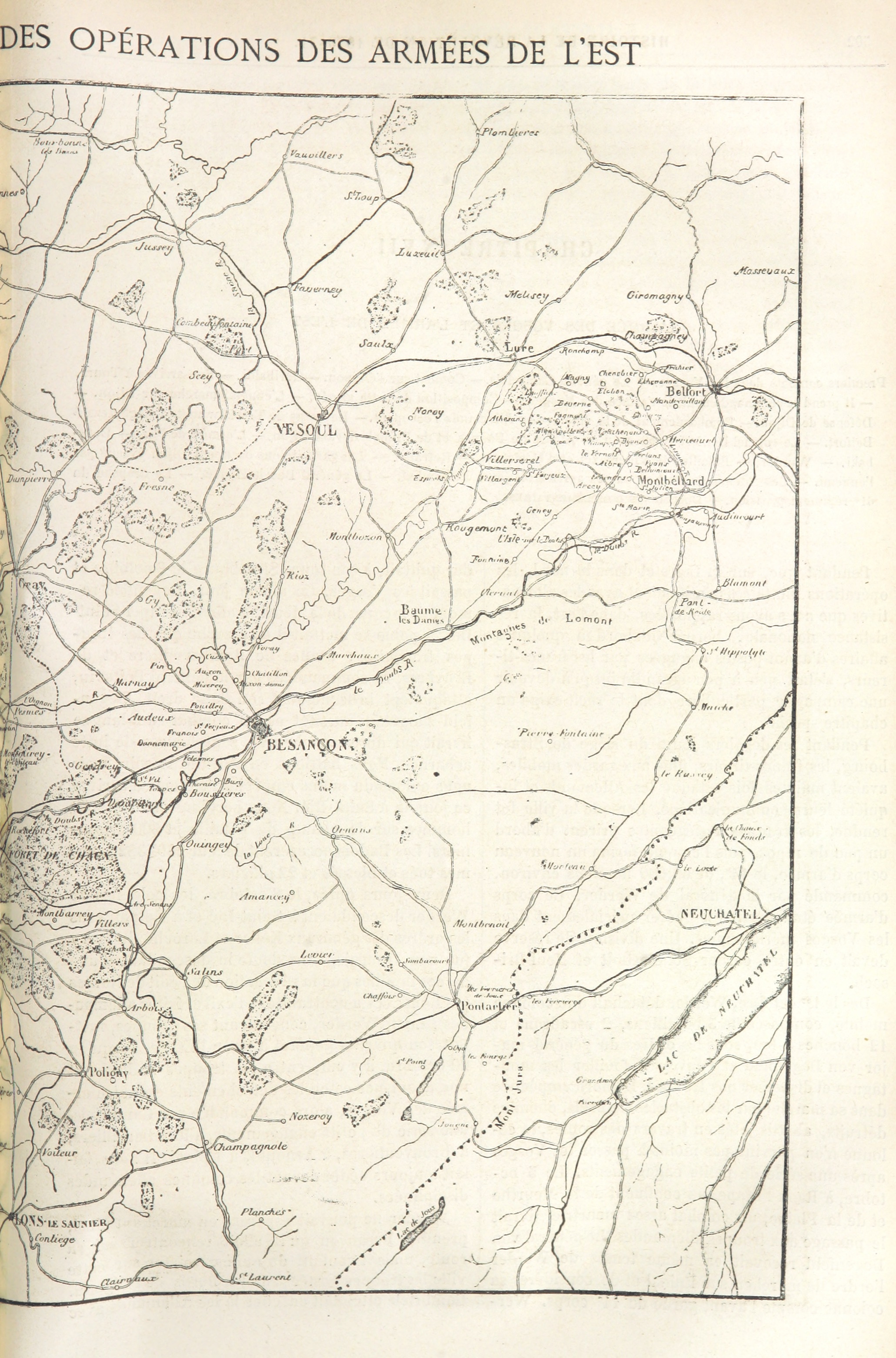
Image taken from page 511 of 'Histoire de la révolution de 1870-71 ... Illustrée, etc'
map large publicdomain geo:country=france vol0 geo:continent=europe page224 geo:country=fr vernejules bldigital pubplaceparis mechanicalcurator date1876 sysnum003778903 imagesfrombook003778903 imagesfromvolume0037789030 wp:bookspage=synopticindexfrance hasgeoref geo:osmscale=8 georefphase2 wp:bookspagesection=frmapbooks geo:county=côtedor geo:state=bourgognefranchecomté
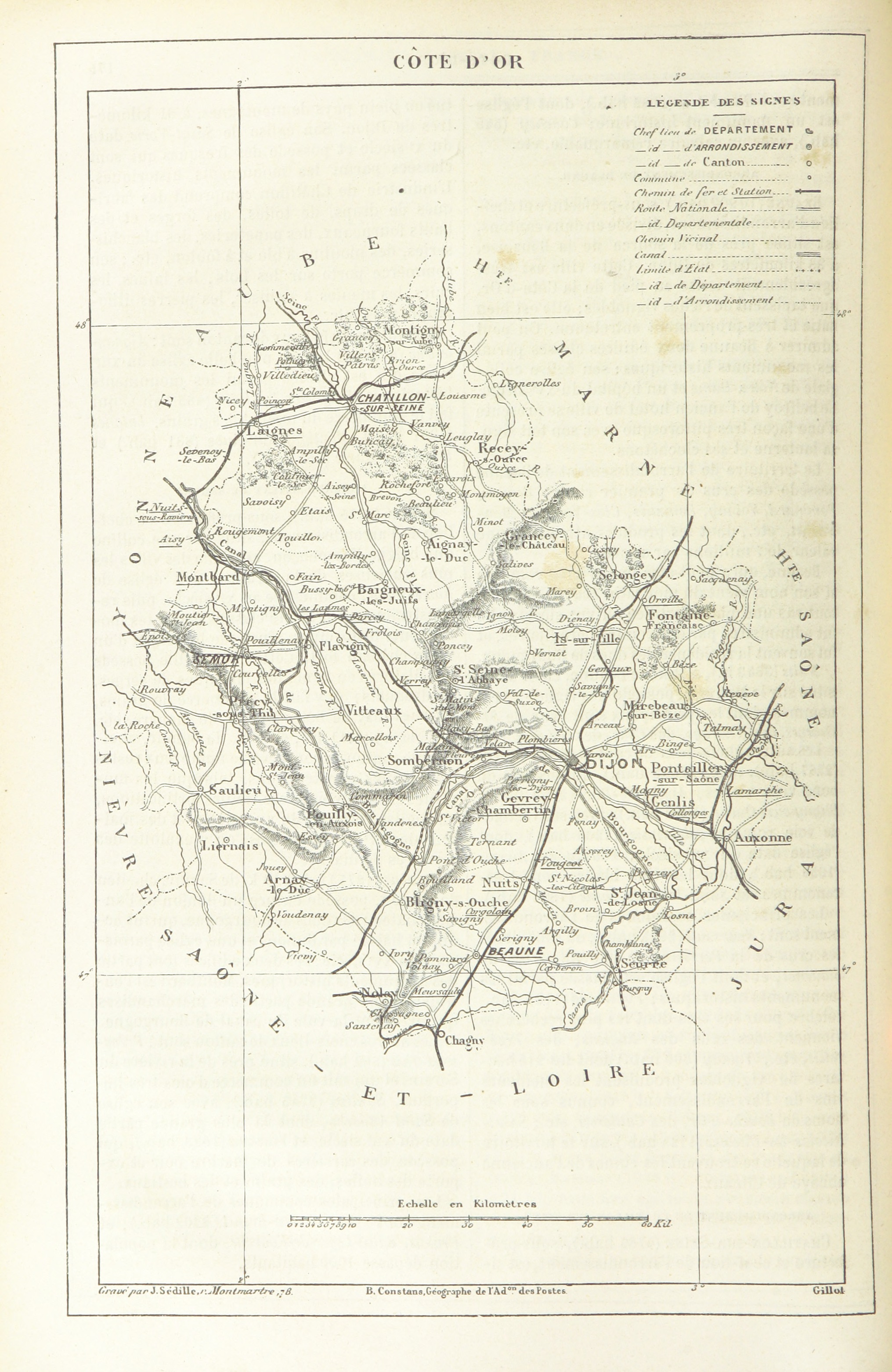
Image taken from page 224 of '[Géographie illustrée de la France et de ses colonies ... précédée d'une étude sur la géographie générale de la France, par T. Lavallée. Illustrations par Clerget et Riou, etc.]'
bldigital date1871 pubplacelondon publicdomain sysnum002706358 ollieredmund large vol02 page228 mechanicalcurator imagesfrombook002706358 imagesfromvolume00270635802 map wp:bookspage=synopticindexfrance georefphase2 wp:bookspagesection=frfrancoprussianwar hasgeoref geo:osmscale=10 geo:continent=europe geo:country=fr geo:country=france geo:state=bourgognefranchecomté
Image taken from page 228 of 'Cassell's Illustrated History of the War between France and Germany, 1870-1871'
map large publicdomain vol02 geo:country=france geo:continent=europe geo:country=fr page208 bldigital mechanicalcurator pubplacelondon date1871 sysnum002706358 ollieredmund imagesfrombook002706358 imagesfromvolume00270635802 geo:osmscale=11 wp:bookspage=synopticindexfrance hasgeoref georefphase2 wp:bookspagesection=frfrancoprussianwar geo:state=bourgognefranchecomté
Image taken from page 208 of 'Cassell's Illustrated History of the War between France and Germany, 1870-1871'
ornans franchecomté nature landscape village beauty tranquility wonder greenery river laloue paysage beauté tranquilité émerveillement verdure rivière blackandwhite noiretblanc pont bridge pénombre twilight
Pénombre sur la Loue
winter bw france river blackwhite waterfall stream hiver nb jura monochrom cascade franchecomté torrent chutedeau rivières cascadesduhérisson paysagenaturel patrickbouchenard
Energie hydraulique
trip travel france sport landscape frankreich factory tour getaway twin unterwegs motorbike journey moto motorcycle motor sportbike impressions impressionen backroad landschaft francia ontheroad touring montbéliard paesaggio rsv reise aprilia enroute motocicleta supersport motocycle motorrad mille motorcykel doubs motocicletta motocyclette kurven motociclo aprlia motorrijwiel maîche nebenstrasen landstrassen nebenstrassen bourgognefranchecomté motoimpressionen
Pause in Glère
road france landscape highway europe motorway july roadtrip route autopista autoroute orville bourgogne a31 autostrada 2015 meteorry côtedor selongey châtillonsurseine tilchâtel bourgognefranchecomté autoroutedelorrainebourgogne
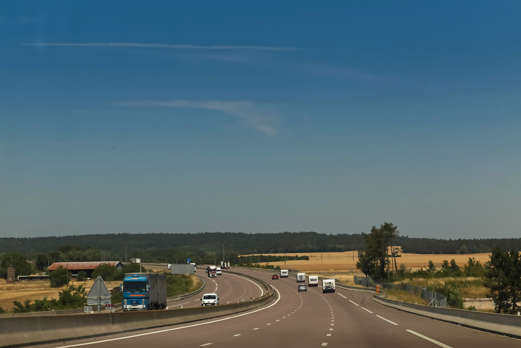
Autoroute A31 - Selongey (France)
castle raysursaône franchecomté nature landscape village beauty tranquility wonder greenery river lasaône château paysage beauté tranquilité émerveillement verdure rivière
Chateau de Ray / Saône
france nature landscape hdr digitallyenhanced larochepot bourgognefranchecomté d111d
La Rochepot
france nature landscape hdr digitallyenhanced larochepot ruesaintgeorges bourgognefranchecomté
La Rochepot
france nature landscape hdr digitallyenhanced saintboil bourgognefranchecomté lemousseau
Saint-Boil
road france chevrolet sign europe traffic taxi july roadtrip route autoroute asphalt circulation markings panneau blacktop ain 2015 viriat a39 rhônealpes meteorry marquage auvergnerhônealpes autorouteverte
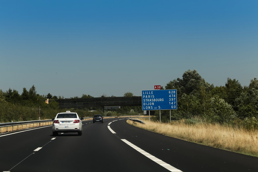
Autoroute A39 - Viriat (France)
trees france landscape europe july roadtrip hills route arbres autopista autoroute vosges a31 autostrada 2015 champagneardenne meteorry rainville aouze autoroutedelorrainebourgogne alsacechampagneardennelorraine alsacechampagneardennelorrain removille
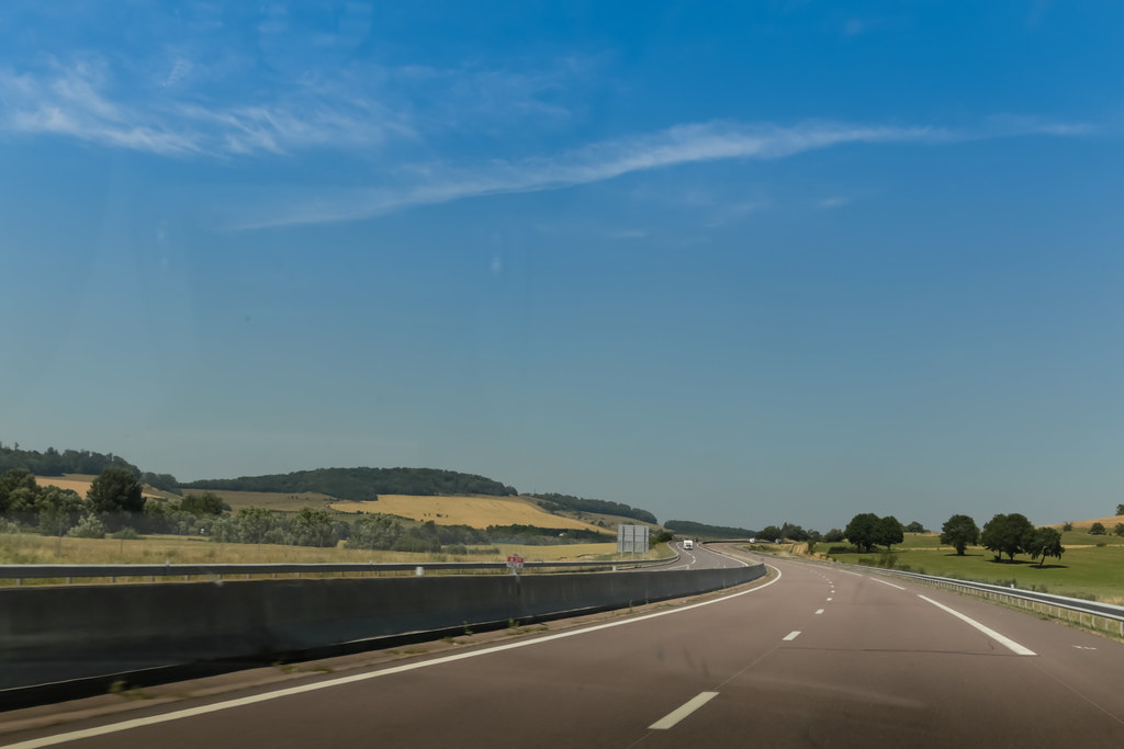
Autoroute A31 - Removille (France)
france fall nature water forest river landscape eau stream hiver rivière jura paysage cascade franchecomté forêt torrent chutedeau rivières naturallandscape hérisson cascadesduhérisson paysagenaturel patrickbouchenard
Fonte des neiges
winter france fall nature water river site eau stream hiver jura cascade franchecomté torrent rivières naturallandscape cascadesduhérisson paysagenaturel patrickbouchenard
Marches inondées

Topographic Map of Bourgogne-Franche-Comté, France

Find elevation by address:


Places in Bourgogne-Franche-Comté, France:

Places near Bourgogne-Franche-Comté, France:

Recent Searches: