Elevation of 7 Gr Grande Rue, Brannay, France
Location: France > Bourgogne-franche-comté > Yonne > Brannay >
Longitude: 3.1188889
Latitude: 48.230628
Elevation: 147m / 482feet
Barometric Pressure: 100KPa
Elevation Map:
Satellite Map:
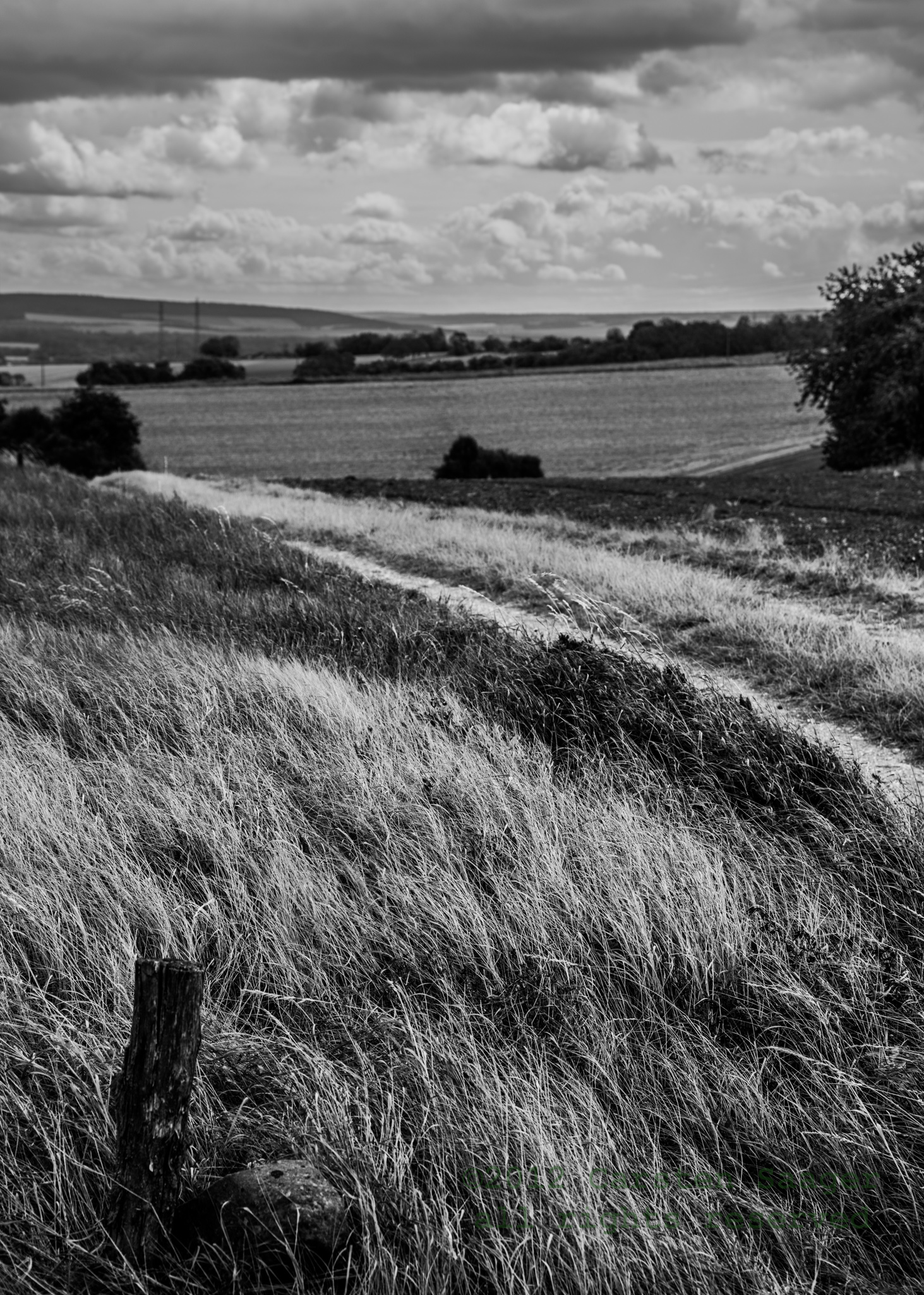
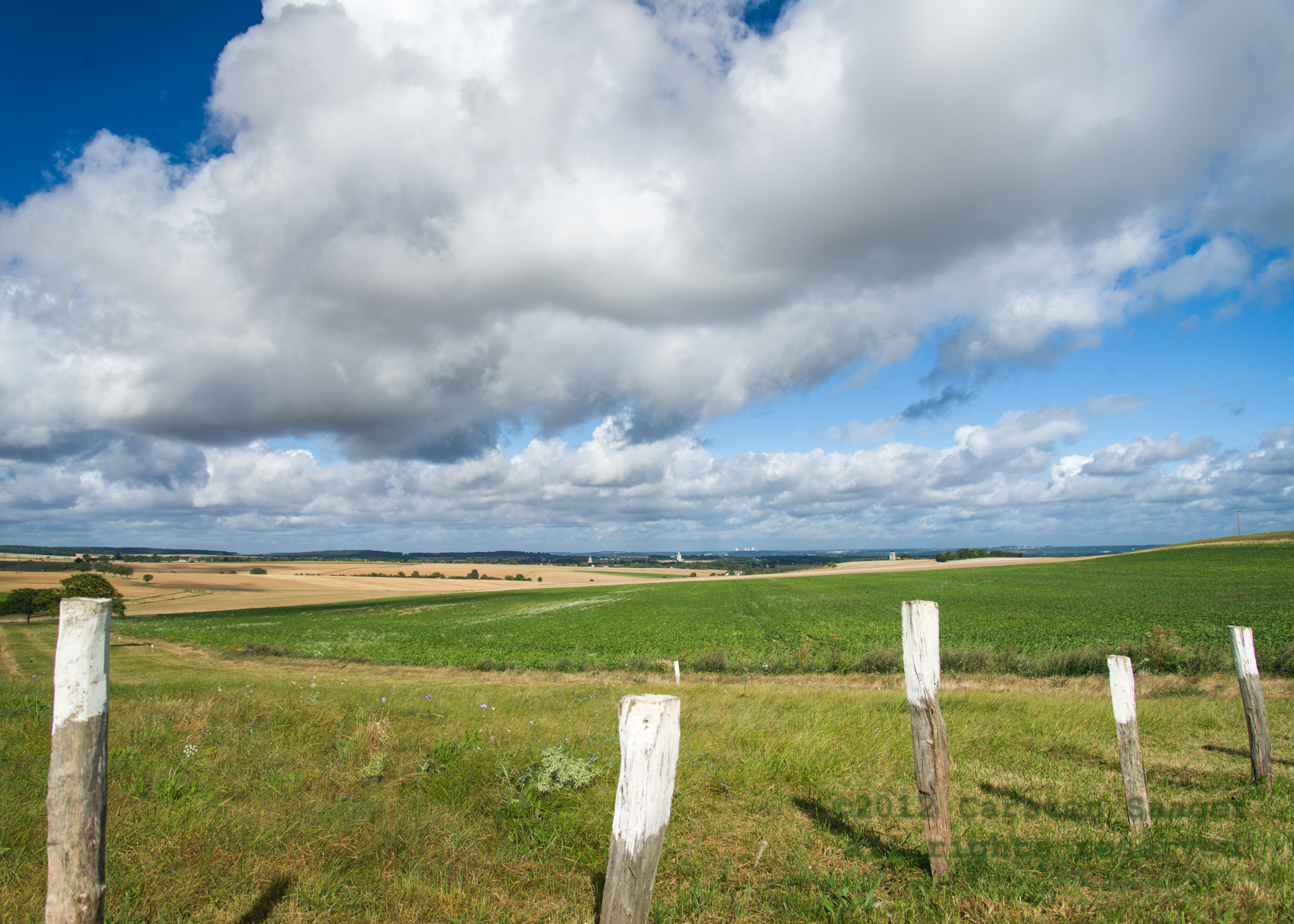
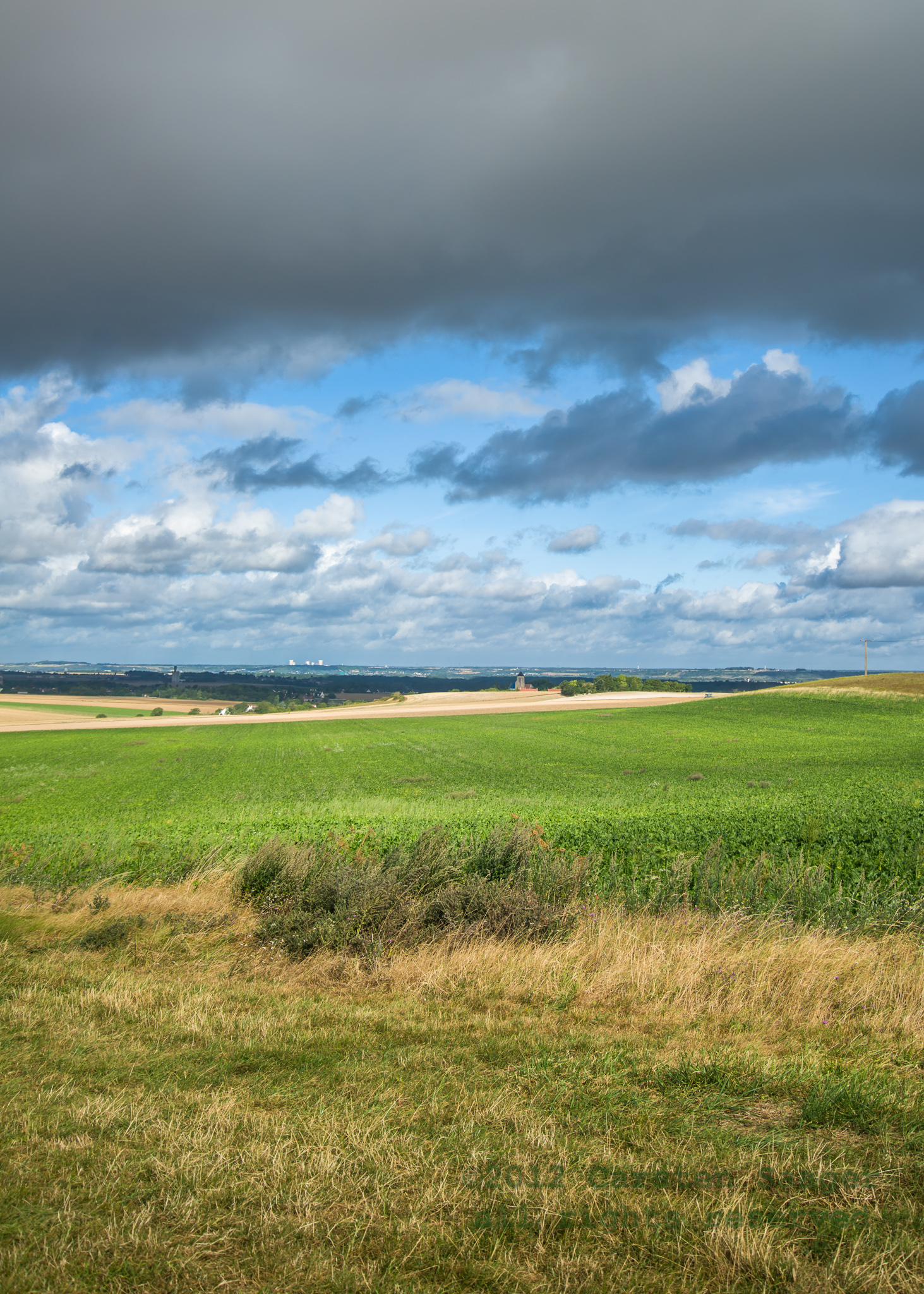
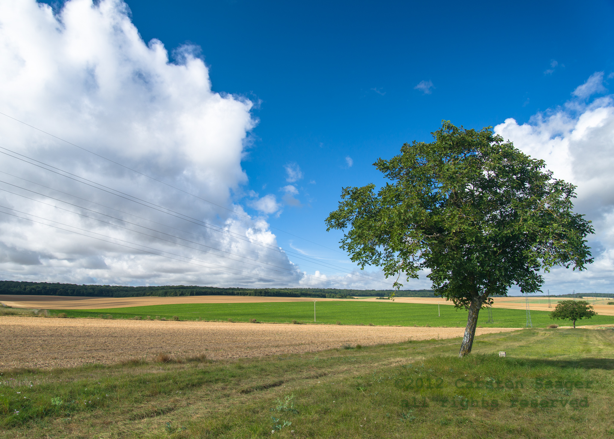
Related Photos:
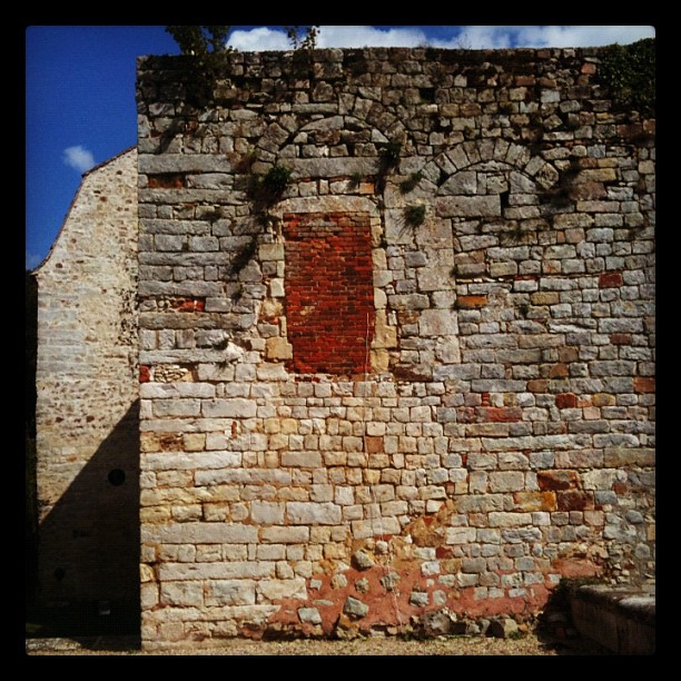
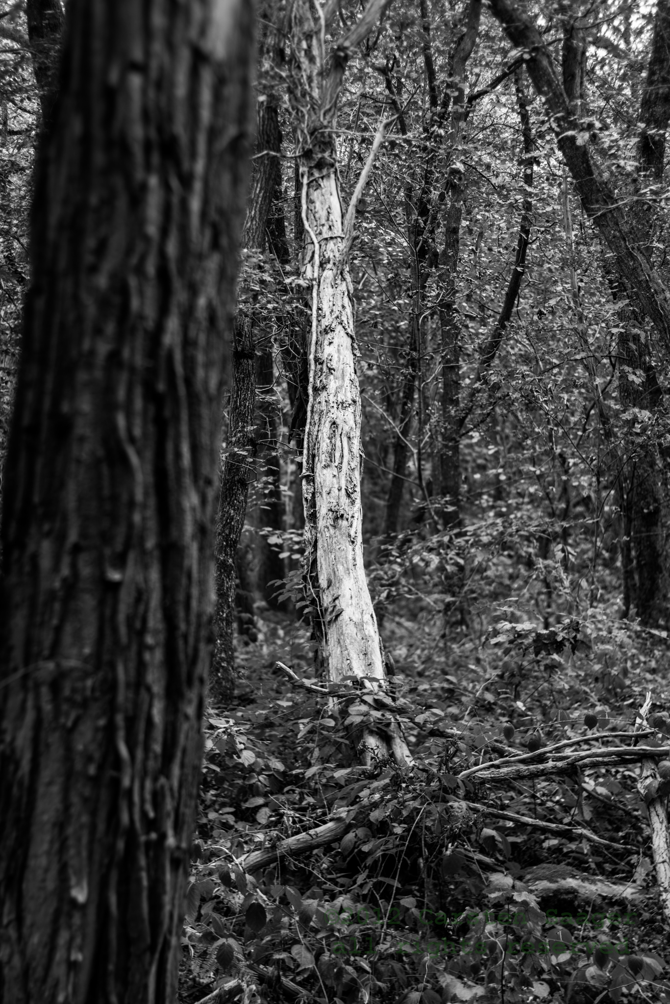
Not a good window to take...

Basilique Saint-Savinien
Dal treno
To Avallon

Étang de la Balastière

Étang de la Balastière
Moulin à Tan
2012-08-25-CSA_5547.jpg
2012-08-25-CSA_5588.jpg
2012-08-25-CSA_5563.jpg
2012-08-25-CSA_5538.jpg
2012-08-26-CSA_5796.jpg
2012-08-25-CSA_5526.jpg
2012-08-25-CSA_5682.jpg
2012-08-25-CSA_5593.jpg
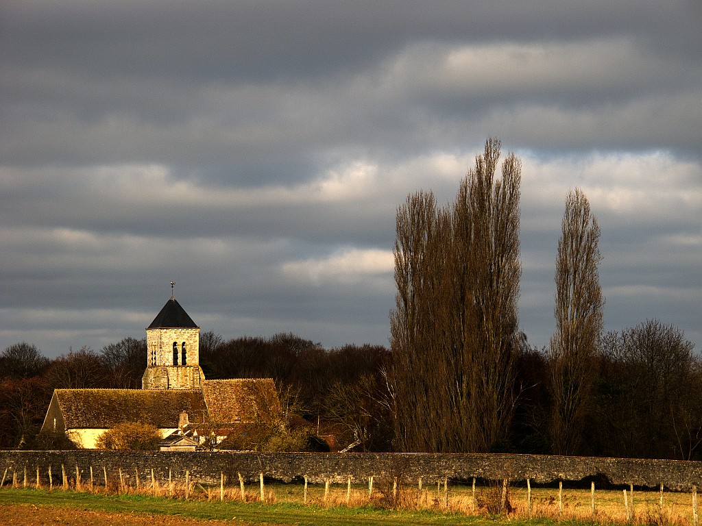
Une église de campagne
2012-08-25-CSA_5690.jpg
2012-08-25-CSA_5527.jpg
2012-08-25-CSA_5543.jpg

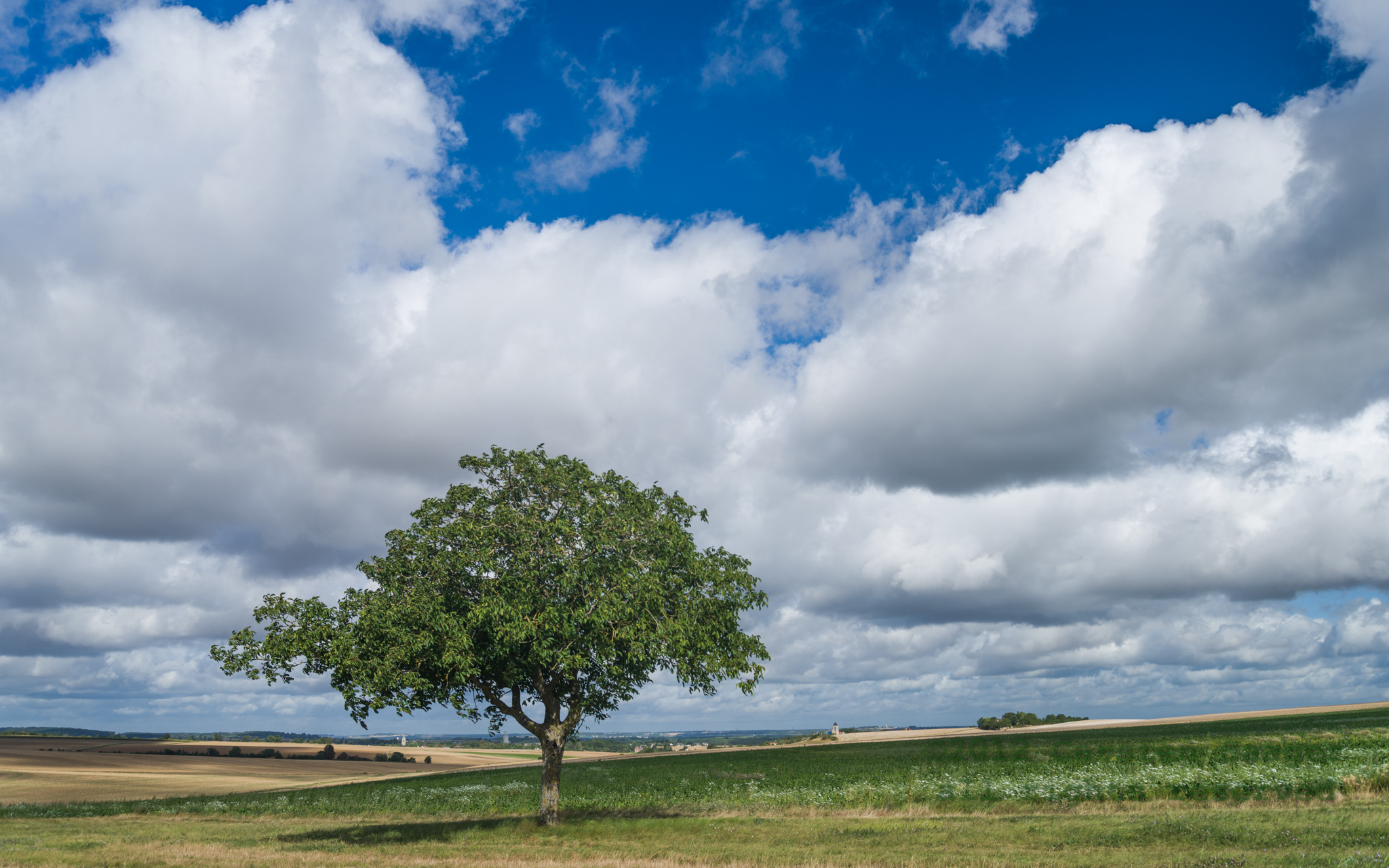
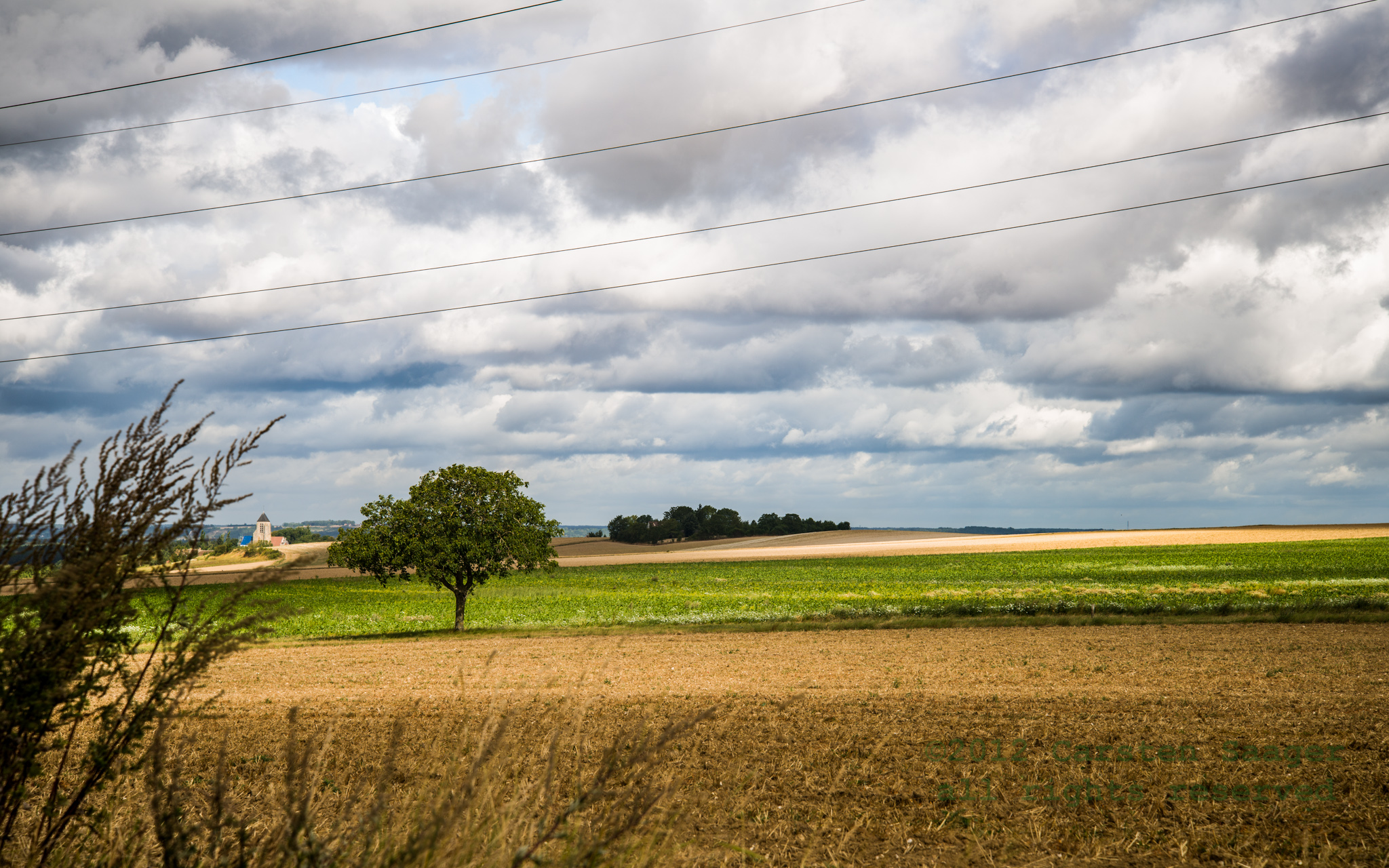
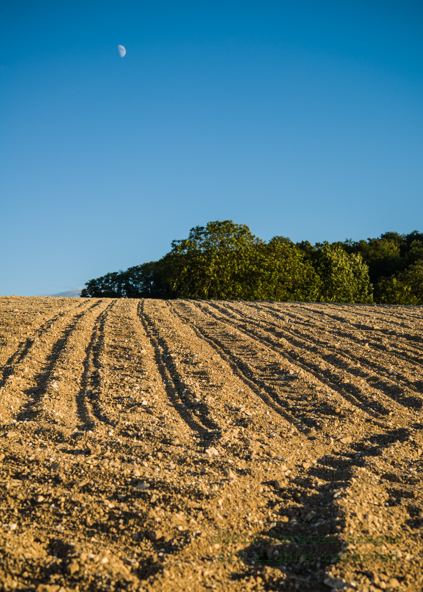
Dans les champs

P8135683_edited-1
2012-08-26-CSA_5808.jpg

DSCN1089_edited-1
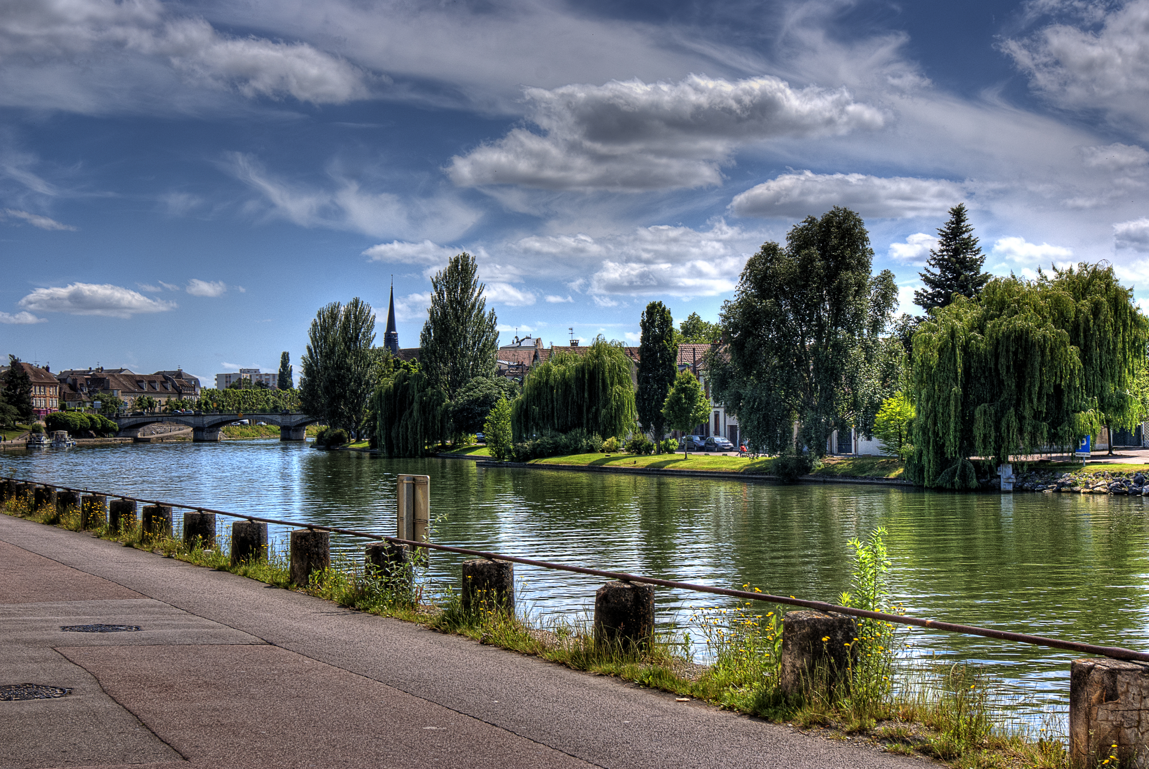
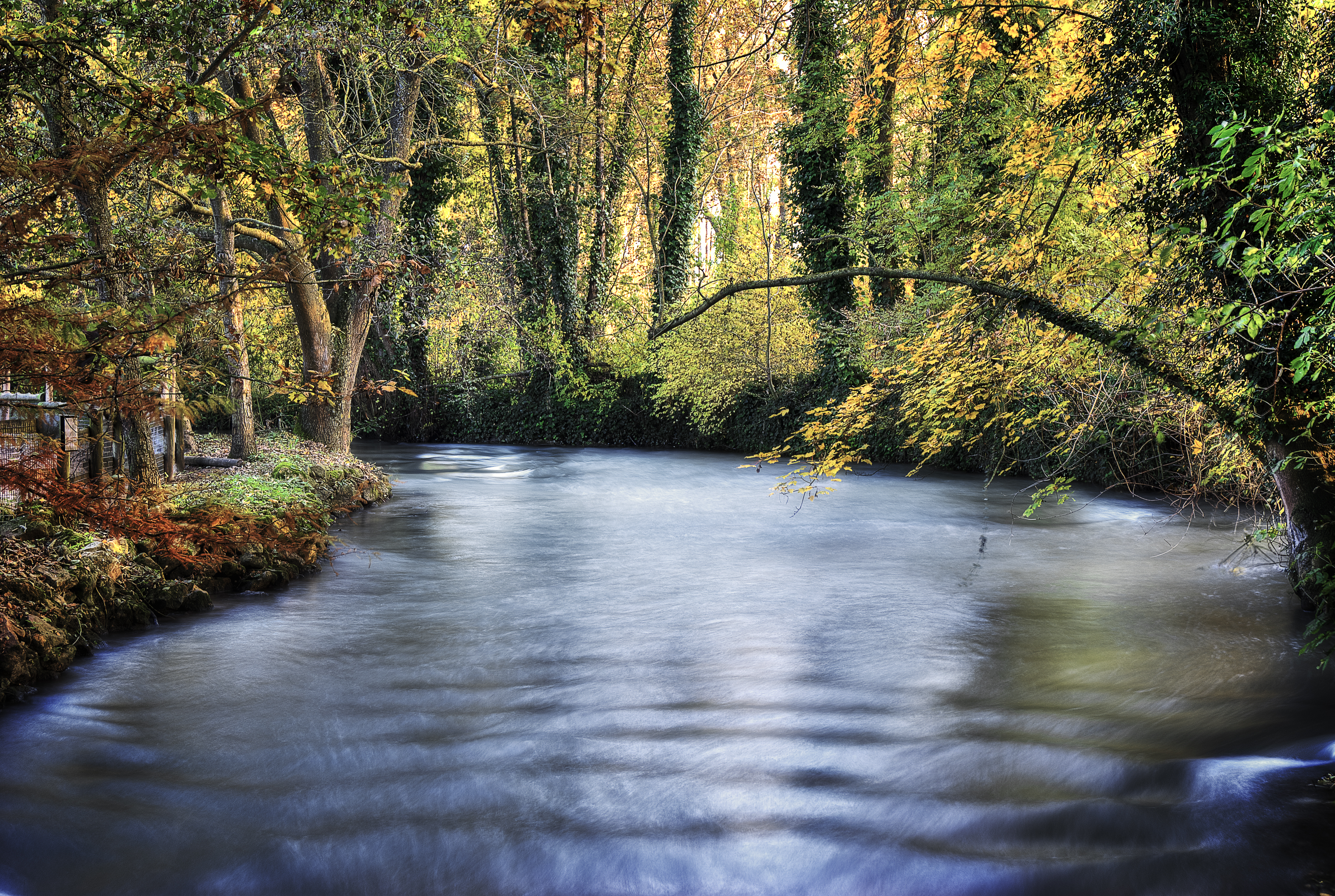
Bords de l'Yonne
Topographic Map of 7 Gr Grande Rue, Brannay, France
Find elevation by address:

Places near 7 Gr Grande Rue, Brannay, France:
Brannay
2 La Bernagout, Brannay, France
Villethierry
23 Rue de la Mairie, Villethierry, France
58 Avenue des Marronniers, Chaumont, France
Chaumont
Blennes
Villeblevin
3 Rue des Moines, Blennes, France
2 Rue des Buttes, Villeblevin, France
Courtoin
1 La Grande Borne, Montacher-Villegardin, France
Montacher-villegardin
9 La Charbonnière, Courtoin, France
12 Rue du Lavoir, Savigny-sur-Clairis, France
Savigny-sur-clairis
13 Les Prés Joly, Gravon, France
Gravon
Marolles-sur-seine
Chaumot
Recent Searches:
- Elevation of Snake Hill Rd, North Scituate, RI, USA
- Elevation of Lake Shore Dr, Warwick, RI, USA
- Elevation of E Brightview Ave, Pittsburgh, PA, USA
- Elevation of Cavendish Rd, Harringay Ladder, London N4 1RR, UK
- Elevation of 1 Zion Park Blvd, Springdale, UT, USA
- Elevation of Ganderbal
- Elevation map of Konkan Division, Maharashtra, India
- Elevation of Netaji Nagar, Hallow Pul, Kurla, Mumbai, Maharashtra, India
- Elevation of Uralsk, Kazakhstan
- Elevation of 45- Kahana Dr, Honokaa, HI, USA