Elevation of Village of Centreville Fire Station, Central St, Centreville, NB E7K 2E7, Canada
Location: Canada > New Brunswick > Carleton County > Centreville >
Longitude: -67.718656
Latitude: 46.4305929
Elevation: 99m / 325feet
Barometric Pressure: 100KPa
Elevation Map:
Satellite Map:
Related Photos:
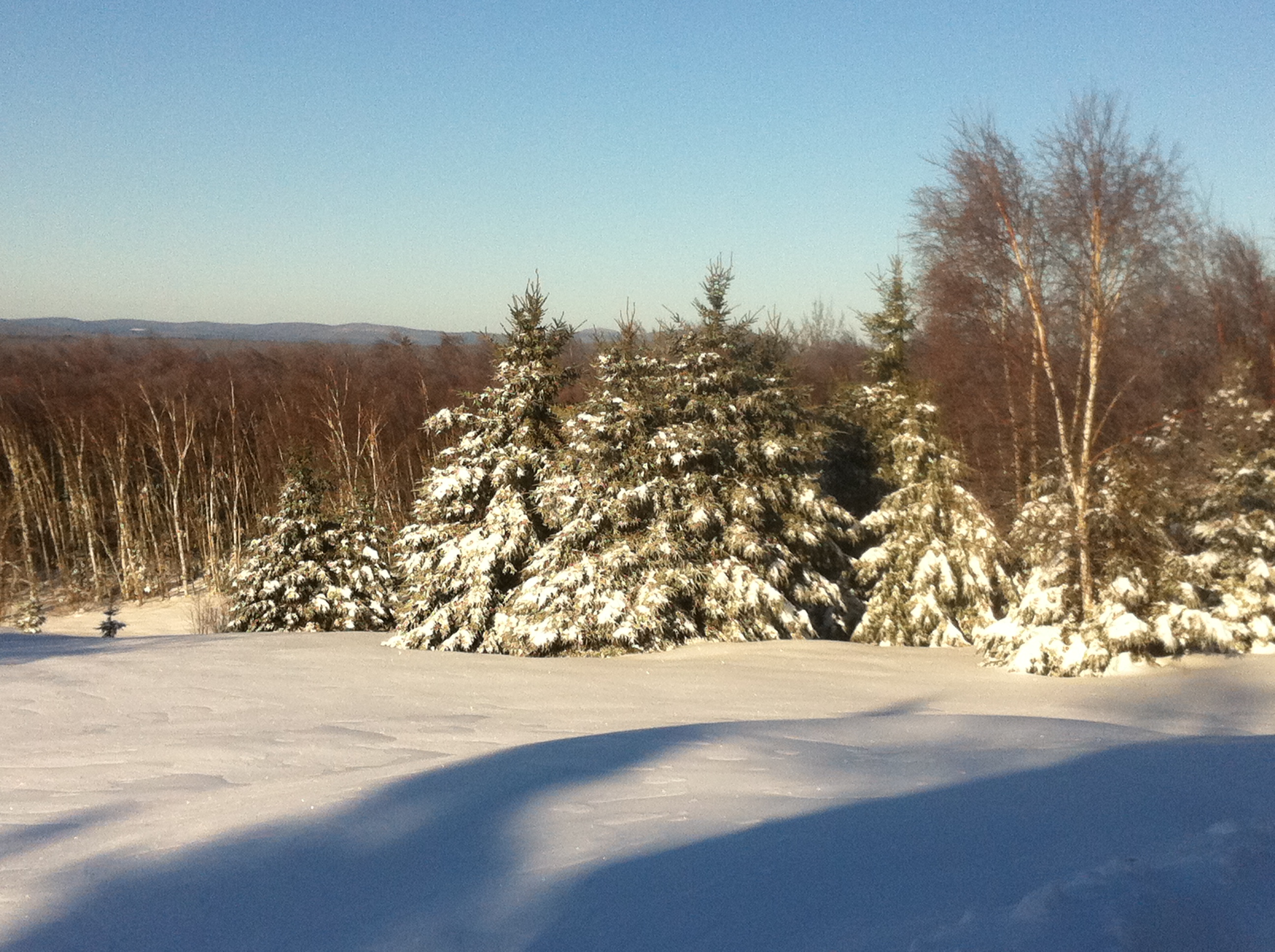
Our breakfast view. Snow has returned. Sun is shining. Already filmed deer. Hope to film moose today.
Long view
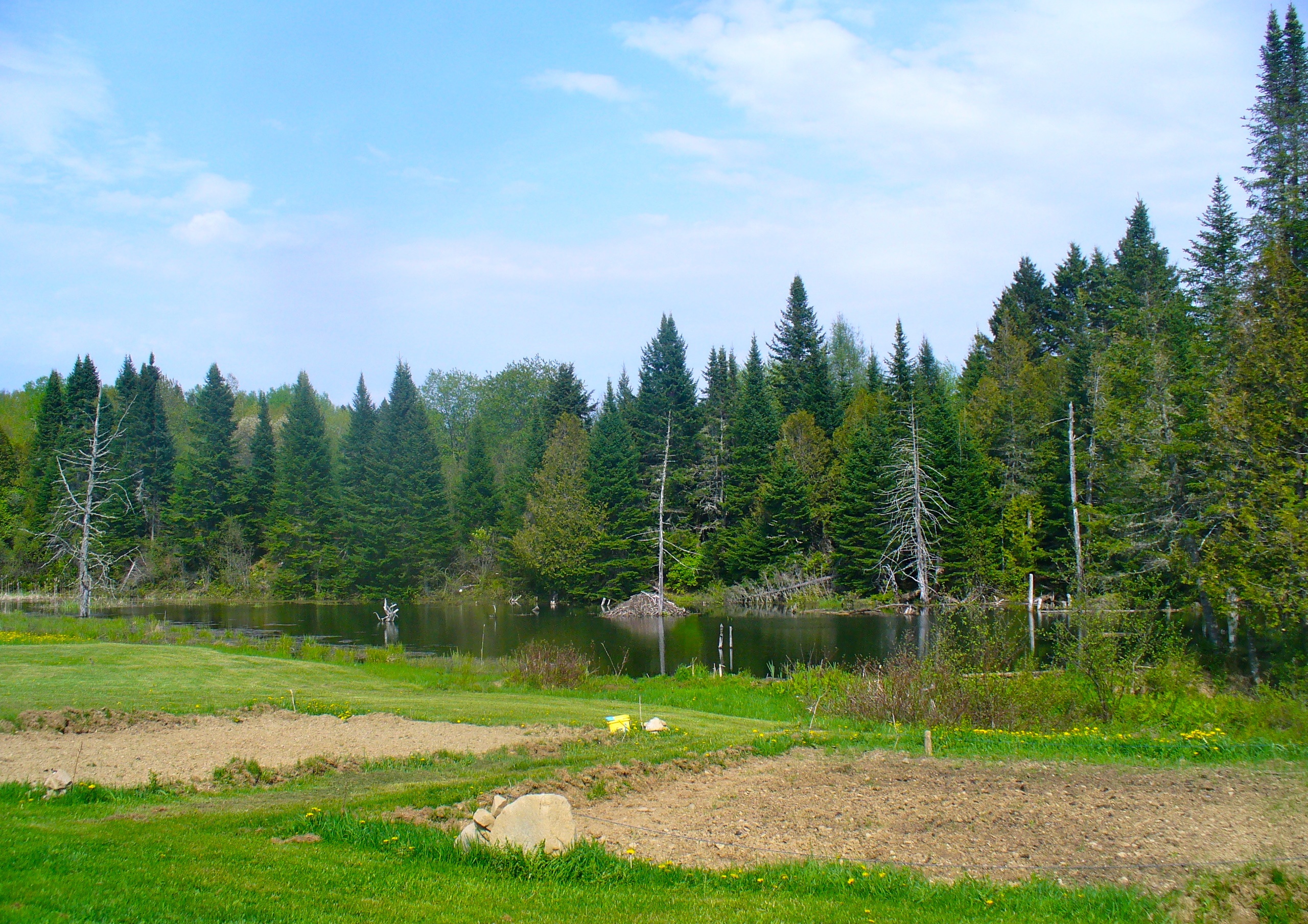
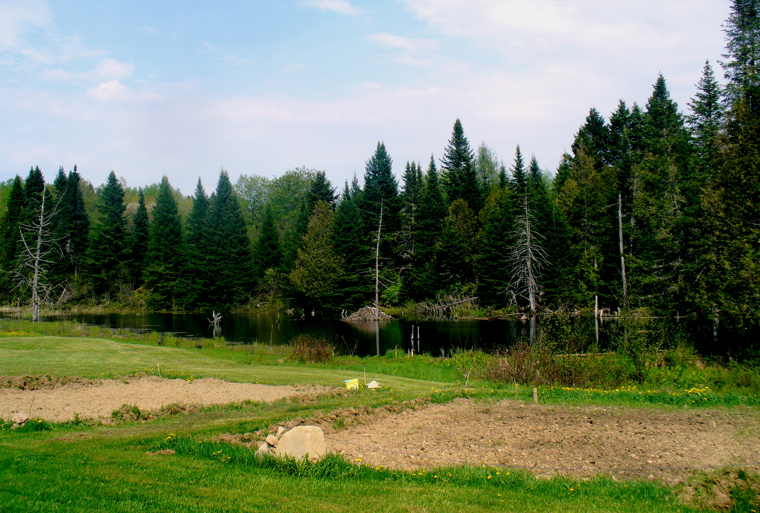
The view from the beaver pond
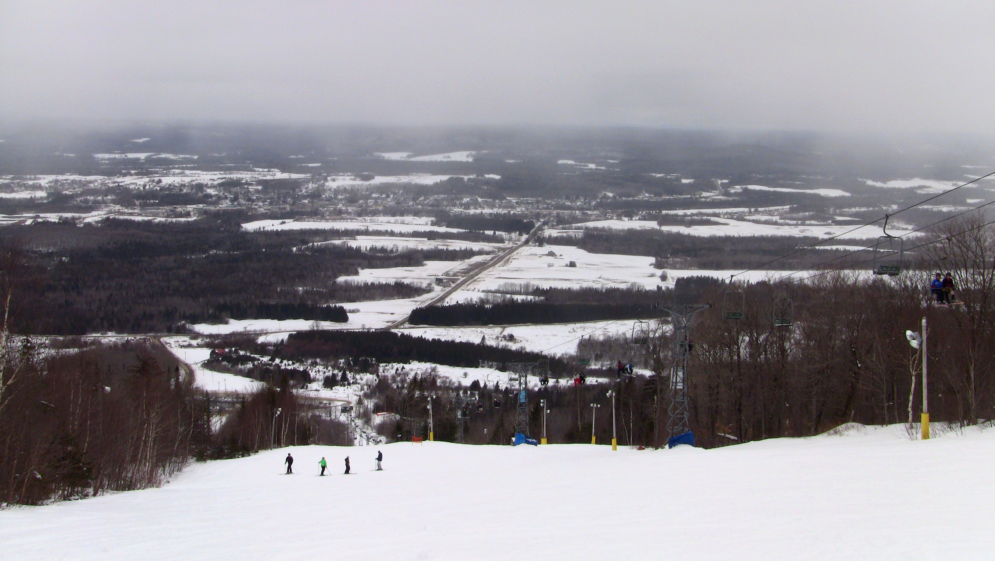
Mars Hill
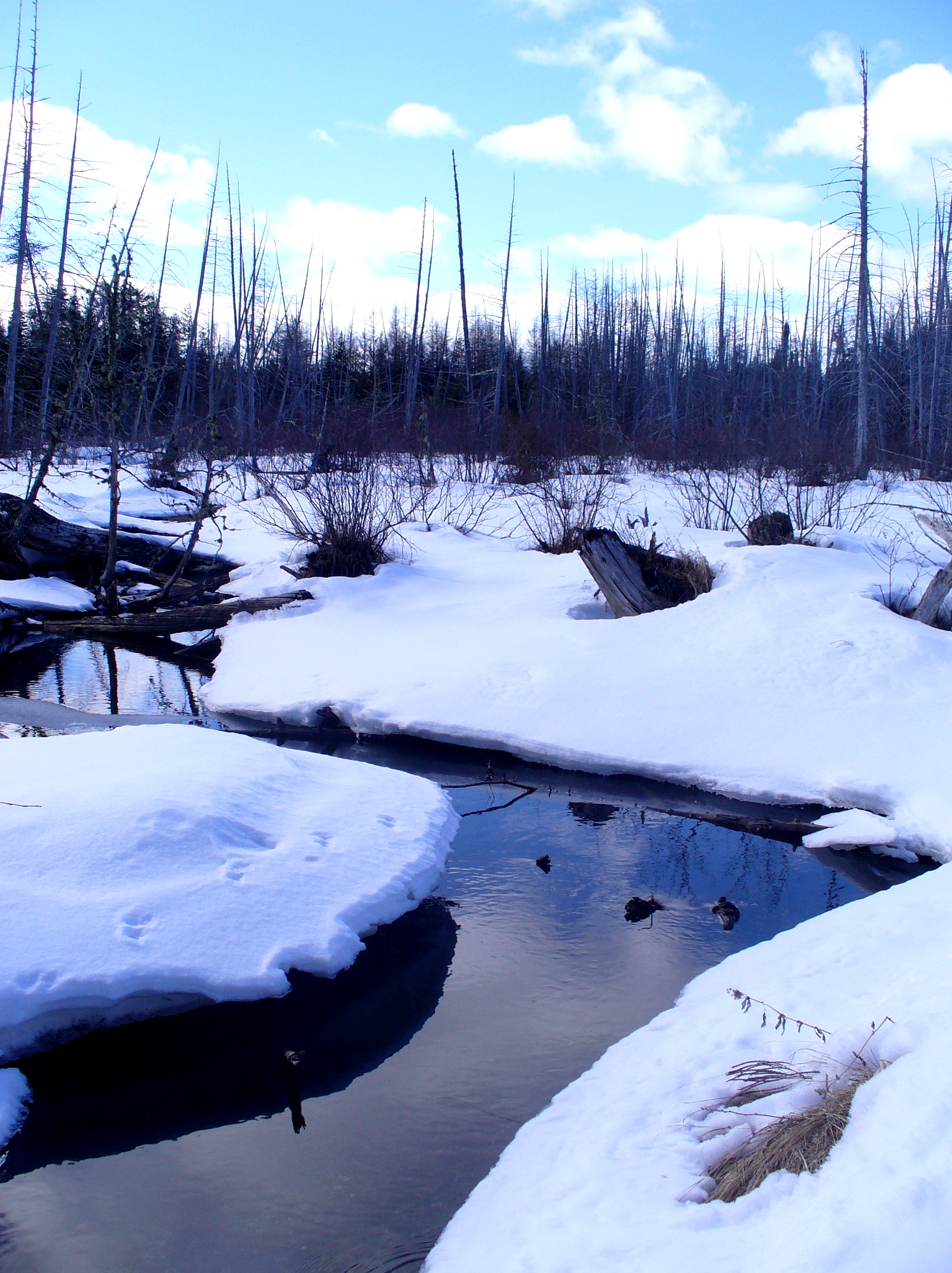
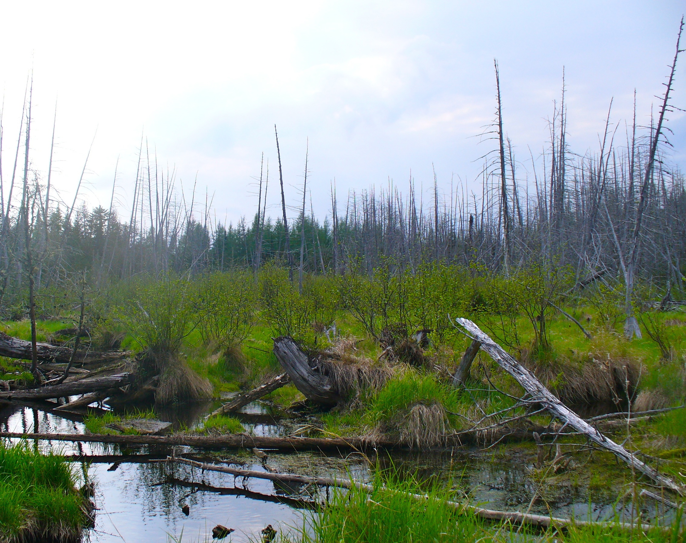
Beaver swamp
Moose (my best shot)
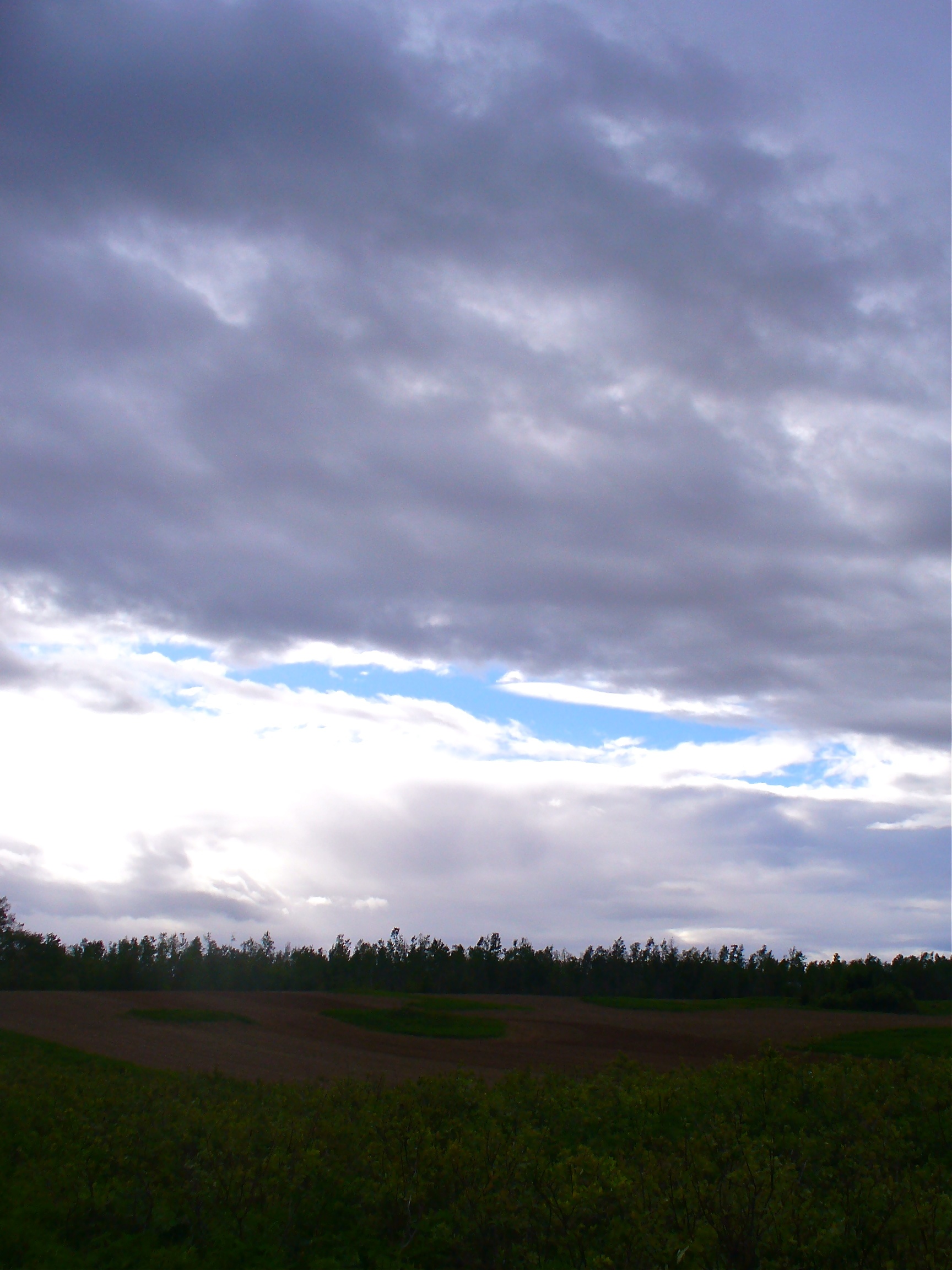
Troubled sky

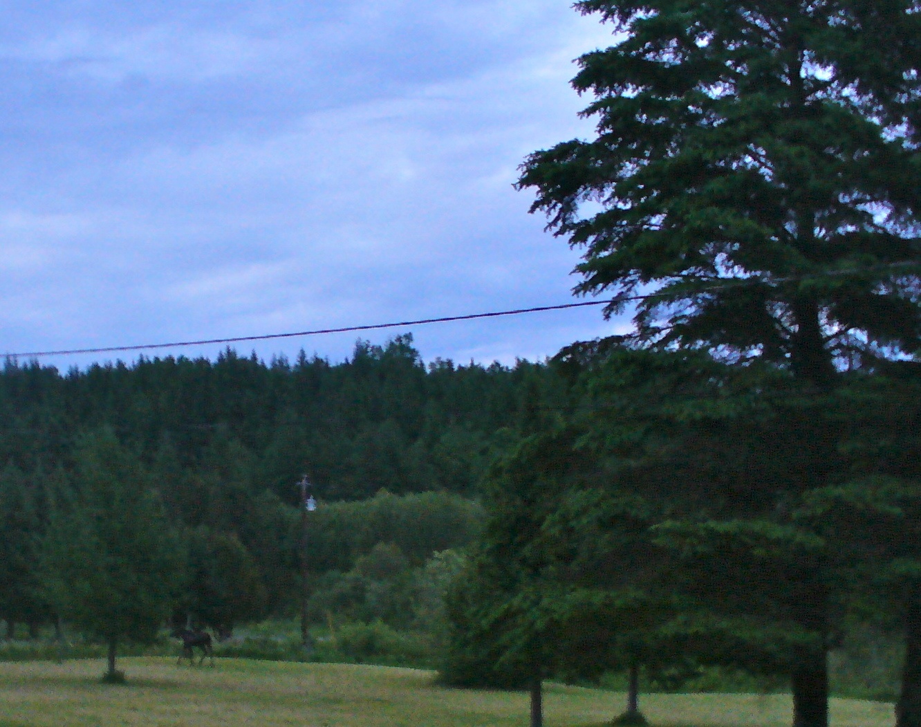
Sunset in the back field
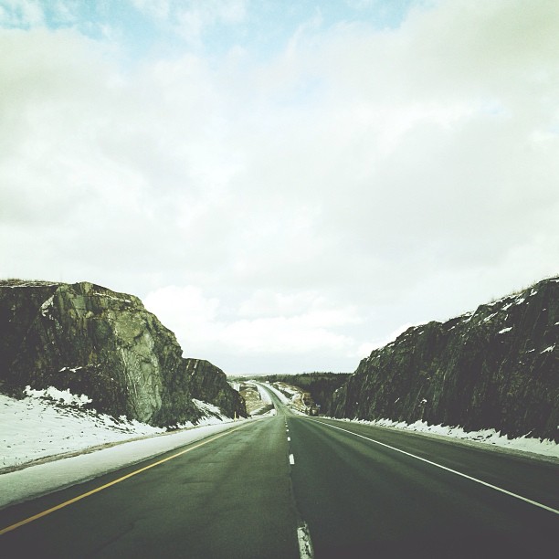
More rock. #adamphonehome
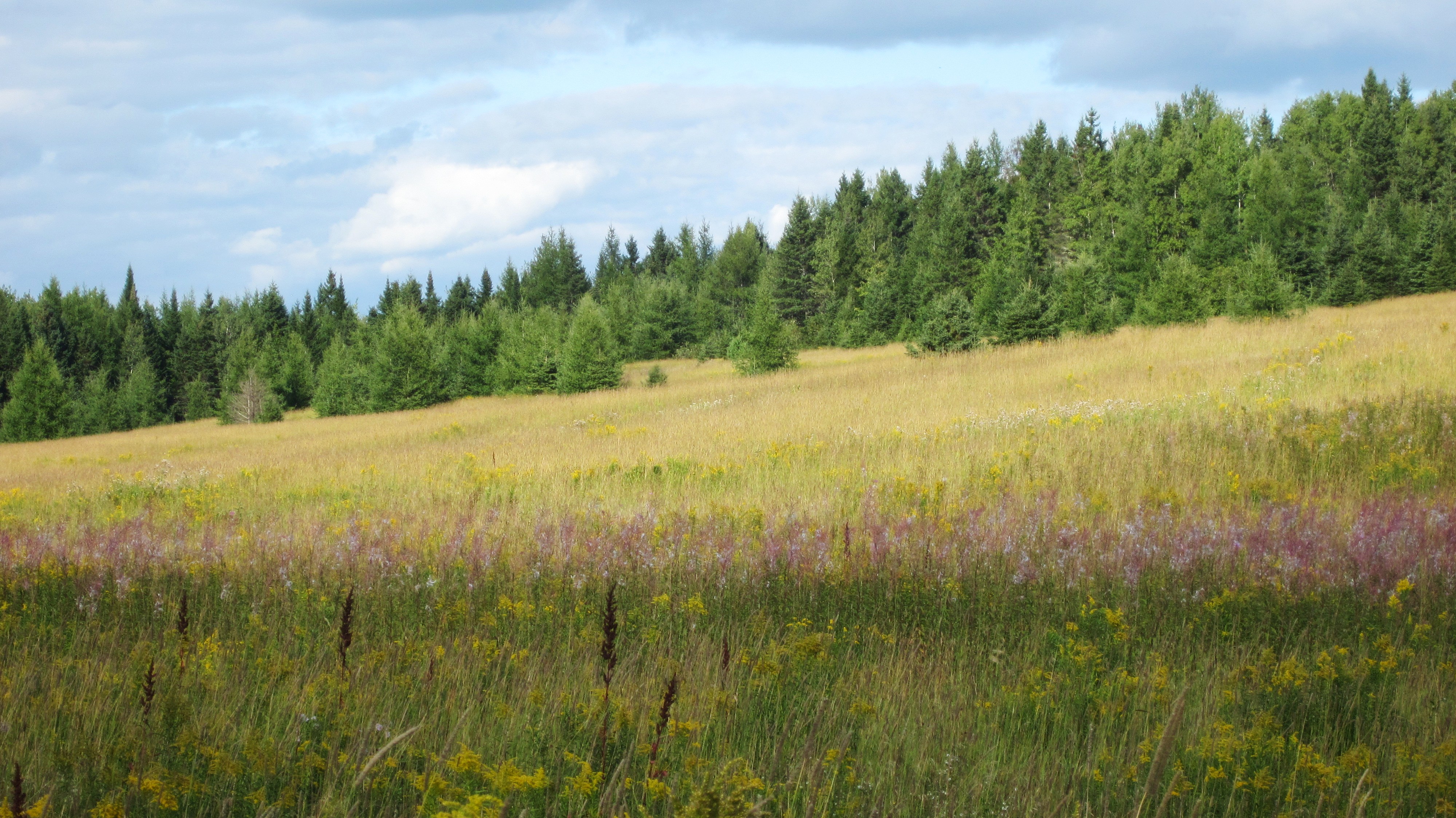
Aroostook County: Boreal Meadow in August
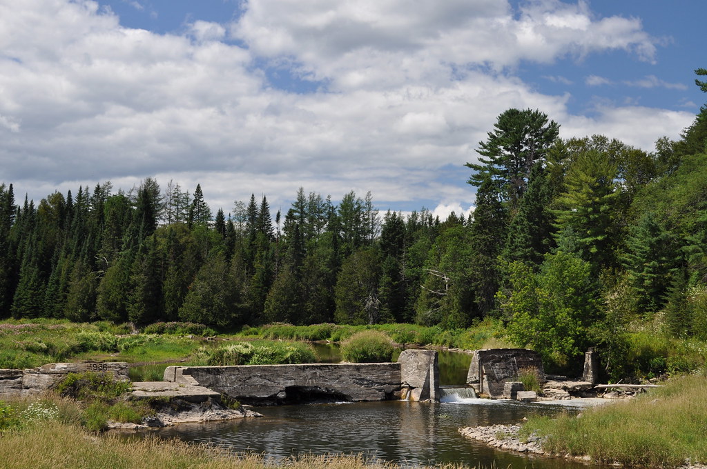
Busted Dam 2
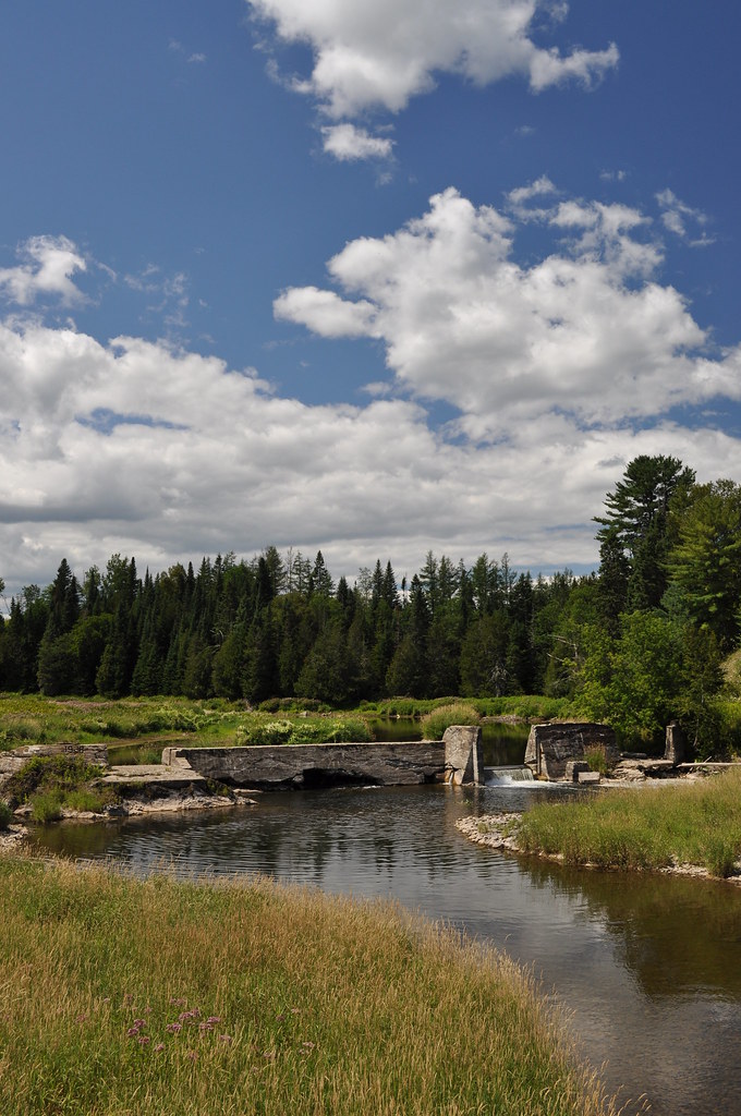
Busted Dam 1

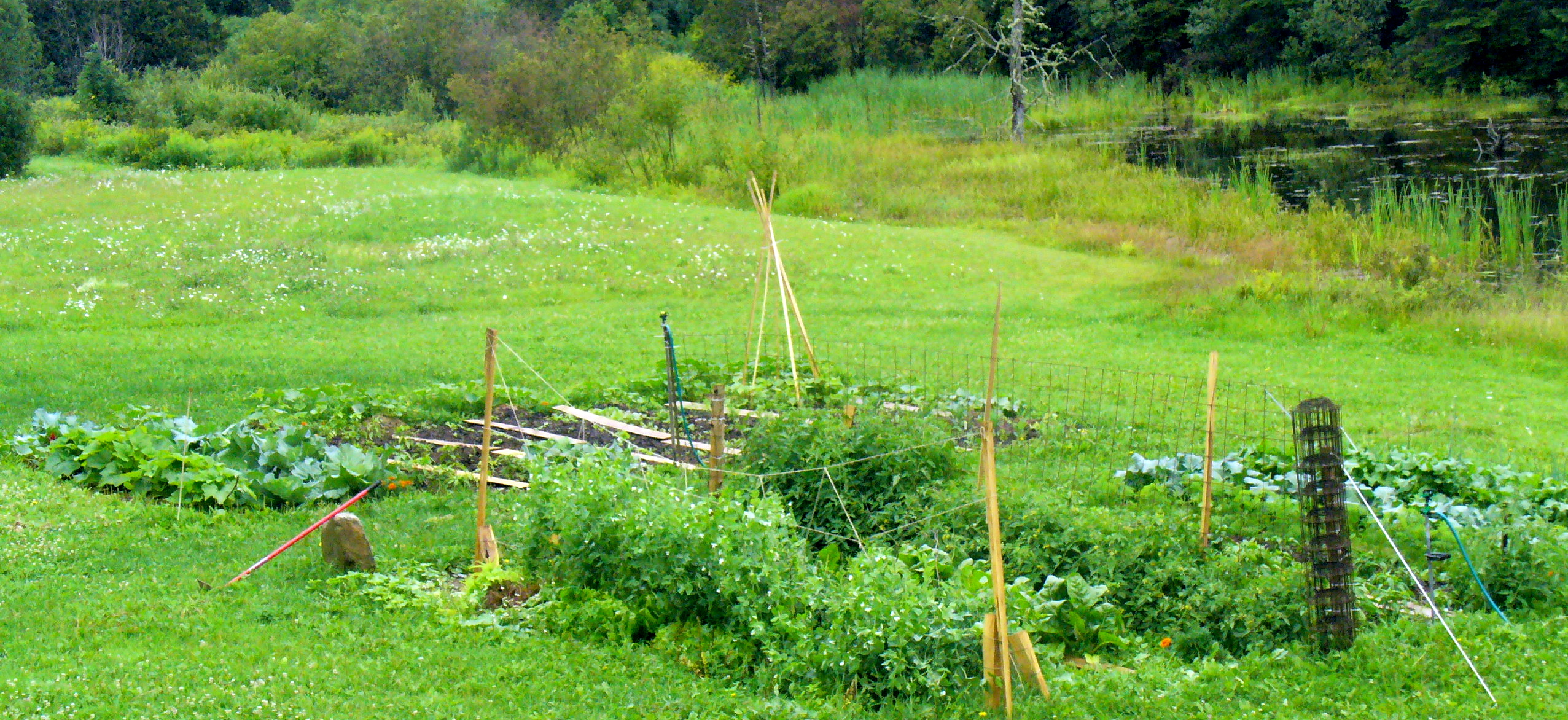
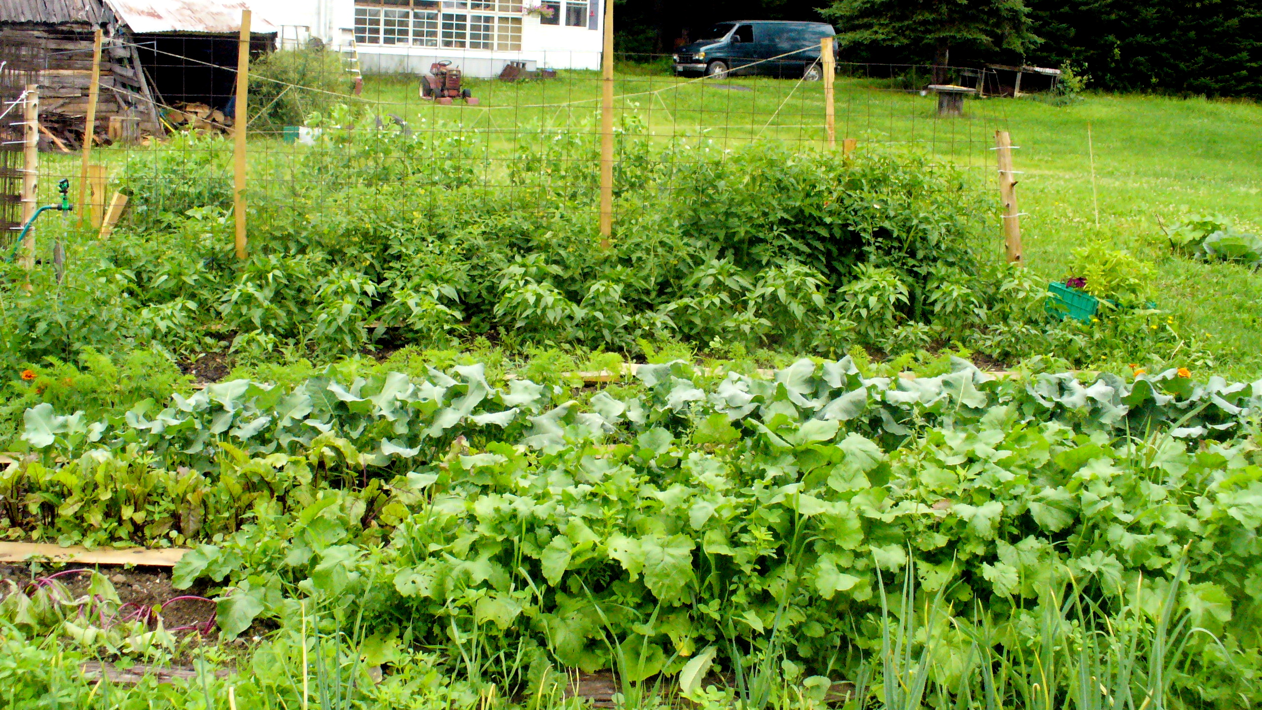
Aroostook garden
The washout
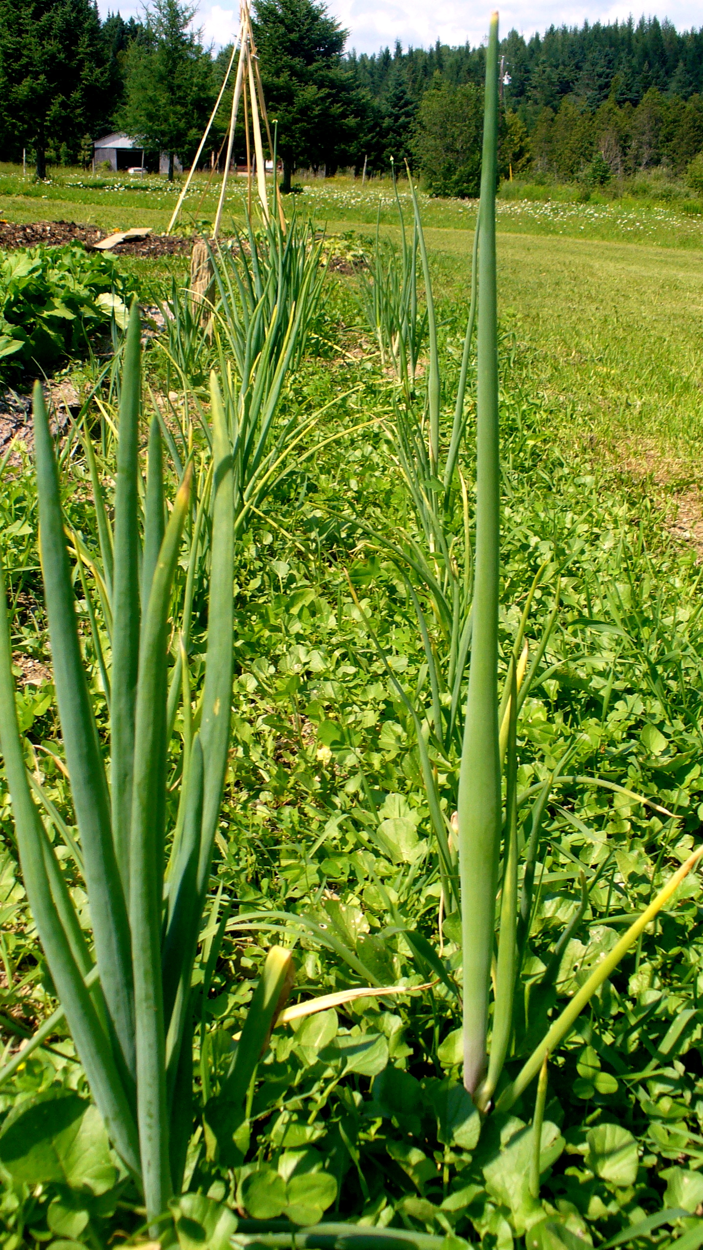
Onions beginning to flower.

Field of lions
Bare garden
How it all started
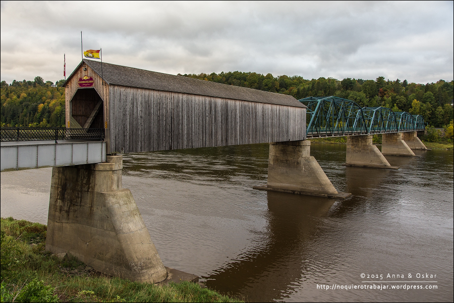
Old Florenceville Bridge, New Brunswick (Canada)
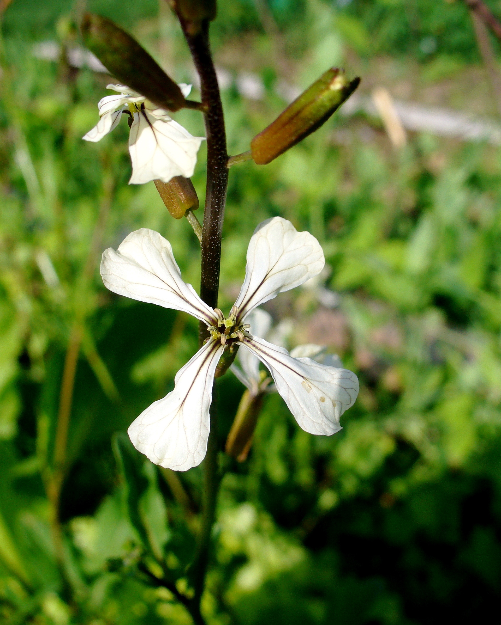
Arugula blossom
Topographic Map of Village of Centreville Fire Station, Central St, Centreville, NB E7K 2E7, Canada
Find elevation by address:

Places near Village of Centreville Fire Station, Central St, Centreville, NB E7K 2E7, Canada:
Central St, Centreville, NB E7K 3E6, Canada
Centreville
NB-, Tracey Mills, NB E7K 2C5, Canada
NB-, Wicklow, NB E7K, Canada
NB-, East Centreville, NB E7K 2L9, Canada
Knoxford
370 Centreville Rd
Wicklow
Snow Rd, Bridgewater, ME, USA
7706 Nb-130
Bridgewater
US-1, Bridgewater, ME, USA
11300 Nb-130
11300 Nb-130
11300 Nb-130
Upper Kent
Peel
Johnville
Carlow
9 Campbell Hill Rd, Carlow, NB E7L 2T1, Canada
Recent Searches:
- Elevation of Congressional Dr, Stevensville, MD, USA
- Elevation of Bellview Rd, McLean, VA, USA
- Elevation of Stage Island Rd, Chatham, MA, USA
- Elevation of Shibuya Scramble Crossing, 21 Udagawacho, Shibuya City, Tokyo -, Japan
- Elevation of Jadagoniai, Kaunas District Municipality, Lithuania
- Elevation of Pagonija rock, Kranto 7-oji g. 8"N, Kaunas, Lithuania
- Elevation of Co Rd 87, Jamestown, CO, USA
- Elevation of Tenjo, Cundinamarca, Colombia
- Elevation of Côte-des-Neiges, Montreal, QC H4A 3J6, Canada
- Elevation of Bobcat Dr, Helena, MT, USA