Elevation of 9 Campbell Hill Rd, Carlow, NB E7L 2T1, Canada
Location: Canada > New Brunswick > Carleton County > Kent > Carlow >
Longitude: -67.511333
Latitude: 46.5119981
Elevation: 261m / 856feet
Barometric Pressure: 98KPa
Elevation Map:
Satellite Map:
Related Photos:
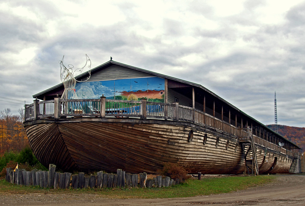
0005632
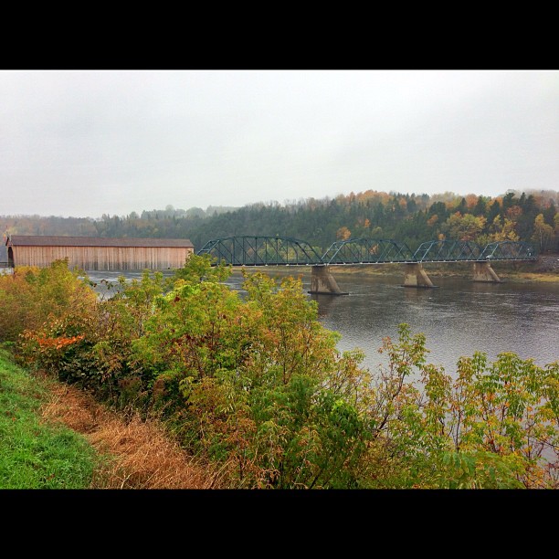
Florenceville Covered Bridge. So pretty!
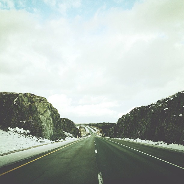
More rock. #adamphonehome
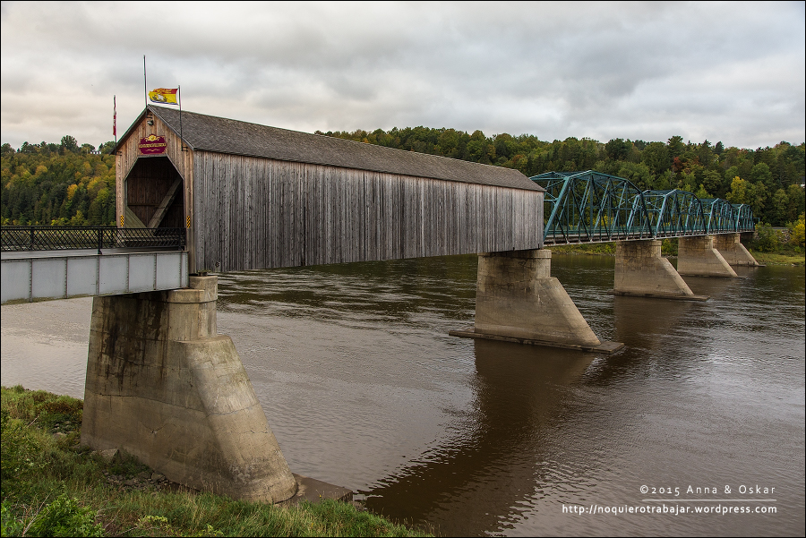
Old Florenceville Bridge, New Brunswick (Canada)

1950 Cadillac Miller hearse, L.R. Giberson Funeral Home, Florenceville-Bristol, New Brunswick, Canada
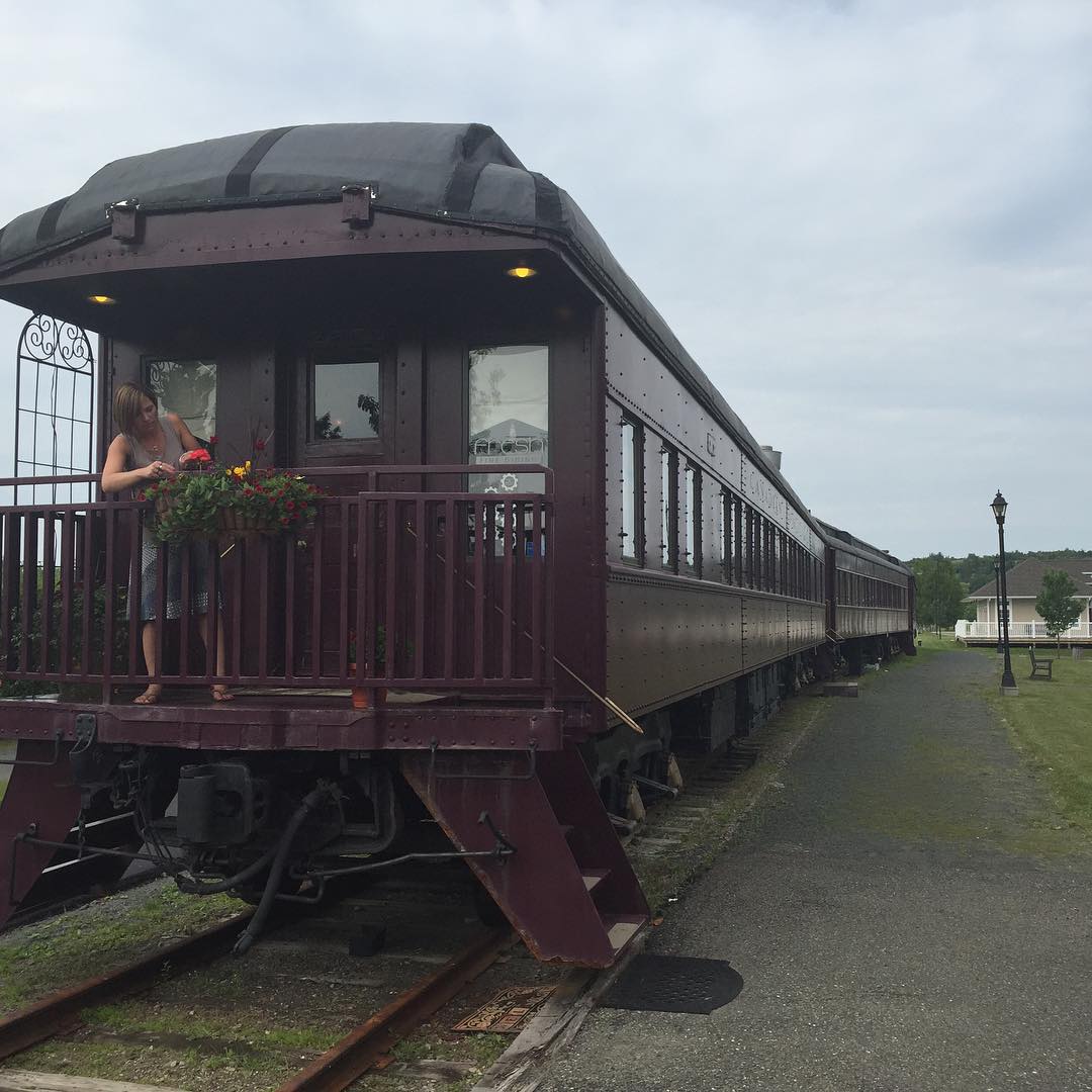
I am dining in a 1931 CPR rail car tonight in Bristol New Brunswick. Fresh Fine Dining #30DaysInNB #explorenb #train @explorenewbrunswick
Topographic Map of 9 Campbell Hill Rd, Carlow, NB E7L 2T1, Canada
Find elevation by address:

Places near 9 Campbell Hill Rd, Carlow, NB E7L 2T1, Canada:
Carlow
Johnville
Johnville Rd, Johnville, NB E7J 1J6, Canada
Peel
11300 Nb-130
11300 Nb-130
11300 Nb-130
7706 Nb-130
370 Centreville Rd
NB-, East Centreville, NB E7K 2L9, Canada
Wicklow
Upper Kent
Centreville
Central St, Centreville, NB E7K 3E6, Canada
Knoxford
Village Of Centreville Fire Station
NB-, Tracey Mills, NB E7K 2C5, Canada
NB-, Wicklow, NB E7K, Canada
Snow Rd, Bridgewater, ME, USA
Bridgewater
Recent Searches:
- Elevation of Corso Fratelli Cairoli, 35, Macerata MC, Italy
- Elevation of Tallevast Rd, Sarasota, FL, USA
- Elevation of 4th St E, Sonoma, CA, USA
- Elevation of Black Hollow Rd, Pennsdale, PA, USA
- Elevation of Oakland Ave, Williamsport, PA, USA
- Elevation of Pedrógão Grande, Portugal
- Elevation of Klee Dr, Martinsburg, WV, USA
- Elevation of Via Roma, Pieranica CR, Italy
- Elevation of Tavkvetili Mountain, Georgia
- Elevation of Hartfords Bluff Cir, Mt Pleasant, SC, USA