Elevation of Upper Kent, NB E7J, Canada
Location: Canada > New Brunswick > Carleton County > Kent >
Longitude: -67.708189
Latitude: 46.569099
Elevation: 94m / 308feet
Barometric Pressure: 100KPa
Elevation Map:
Satellite Map:
Related Photos:
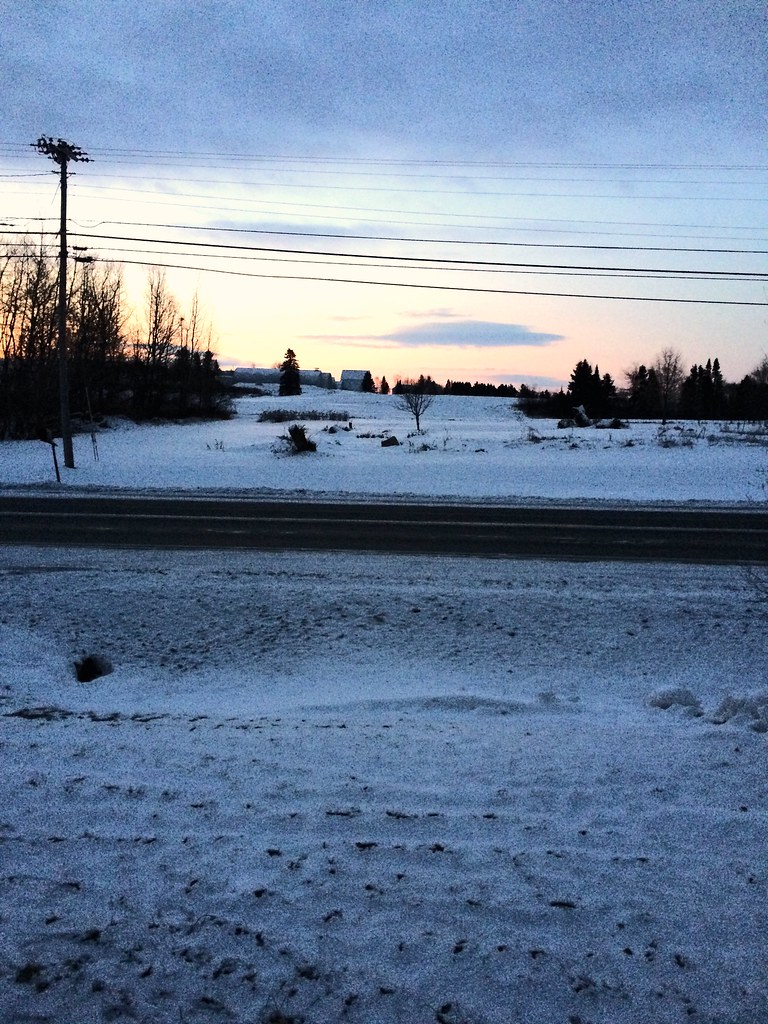
My early morning view
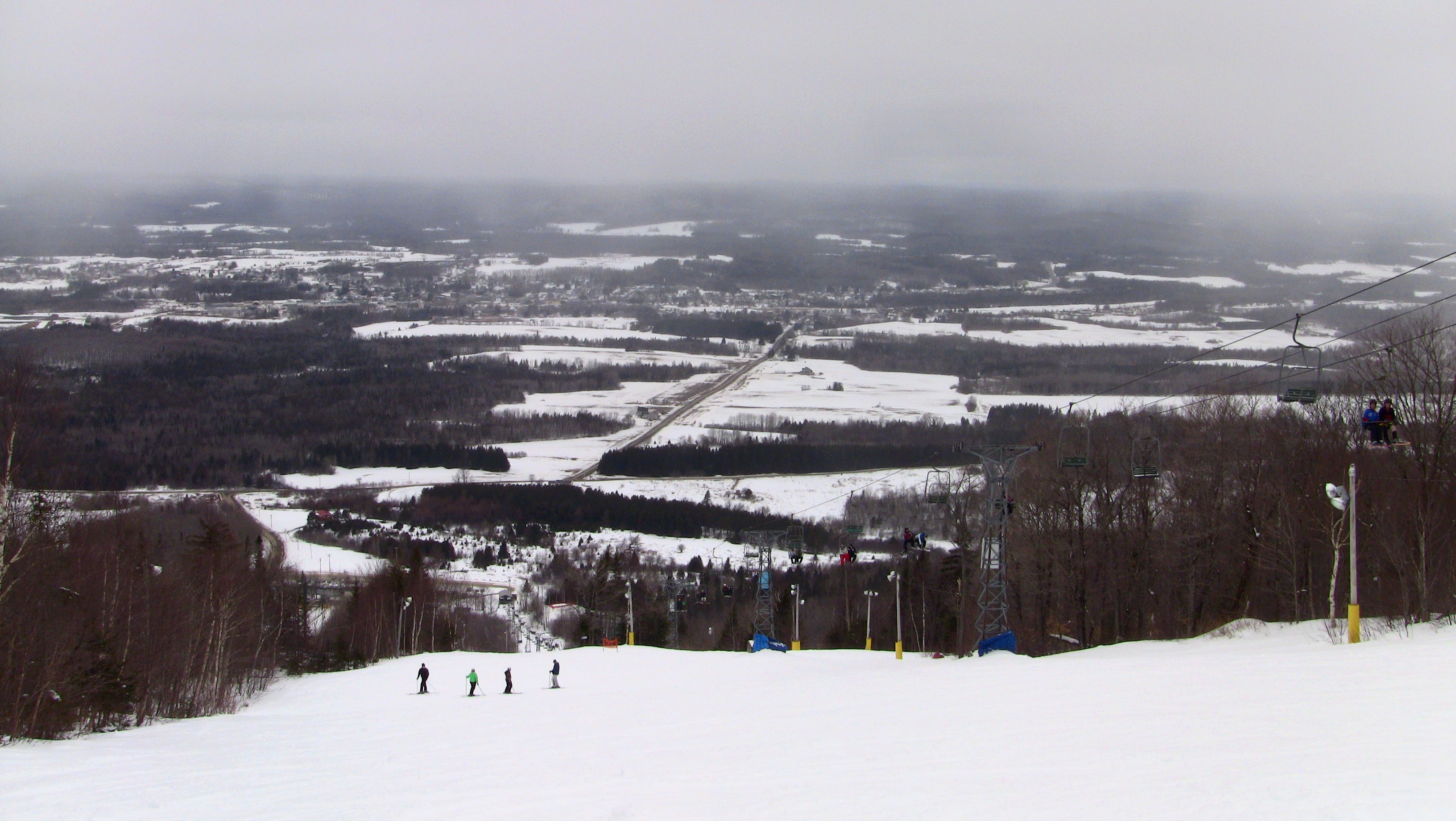
Mars Hill
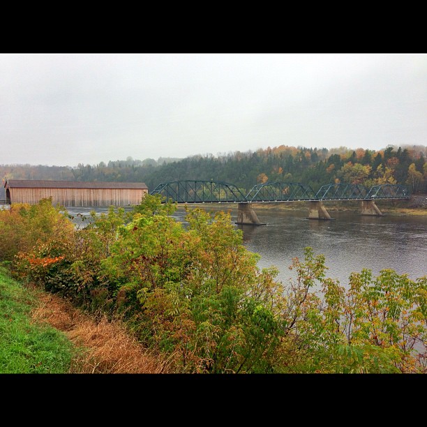
Florenceville Covered Bridge. So pretty!
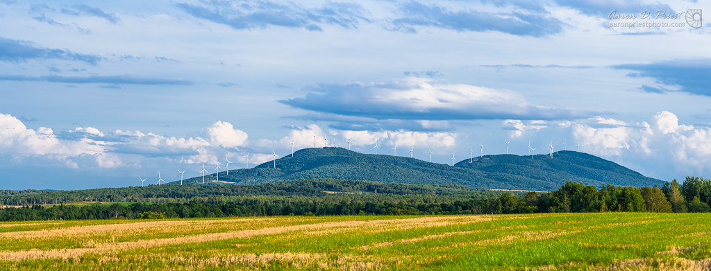
Mars Hill Wind
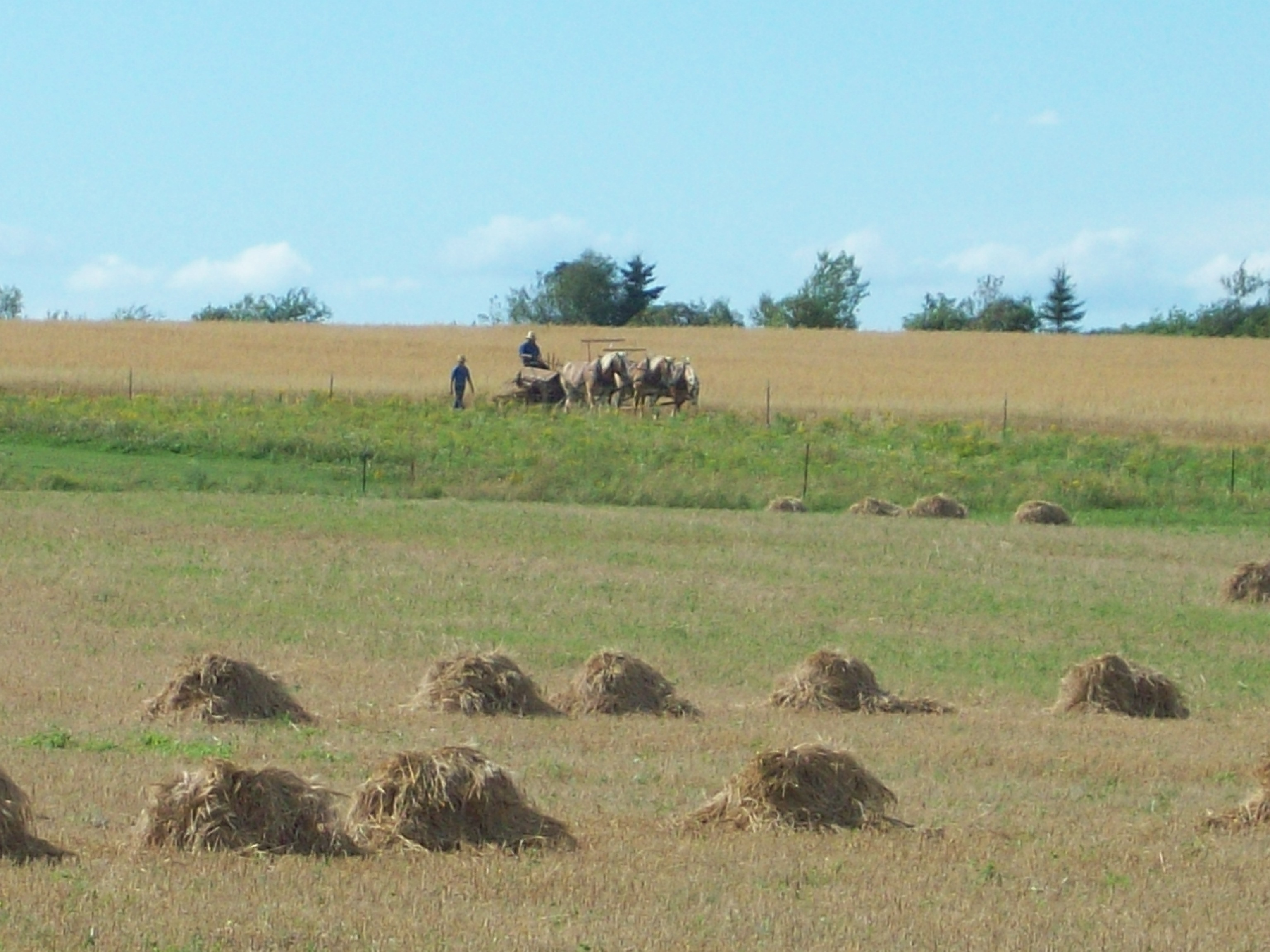
Amish strawmen: Easton Center, ME
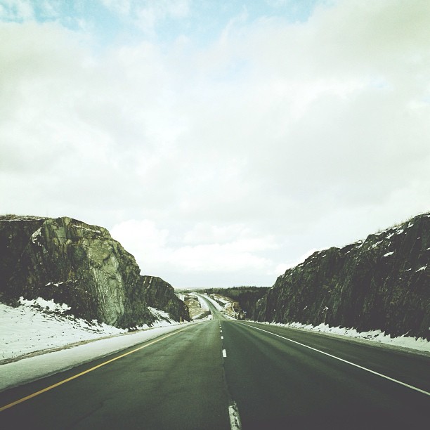
More rock. #adamphonehome
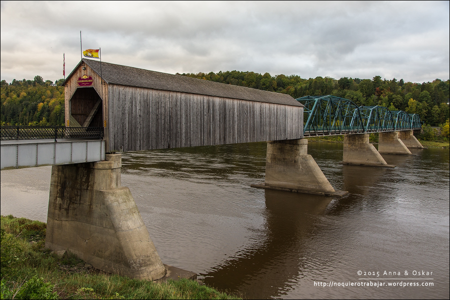
Old Florenceville Bridge, New Brunswick (Canada)
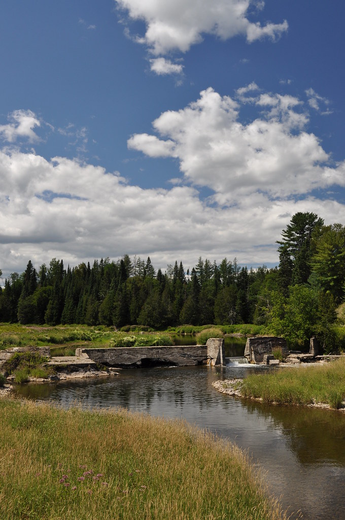
Busted Dam 1
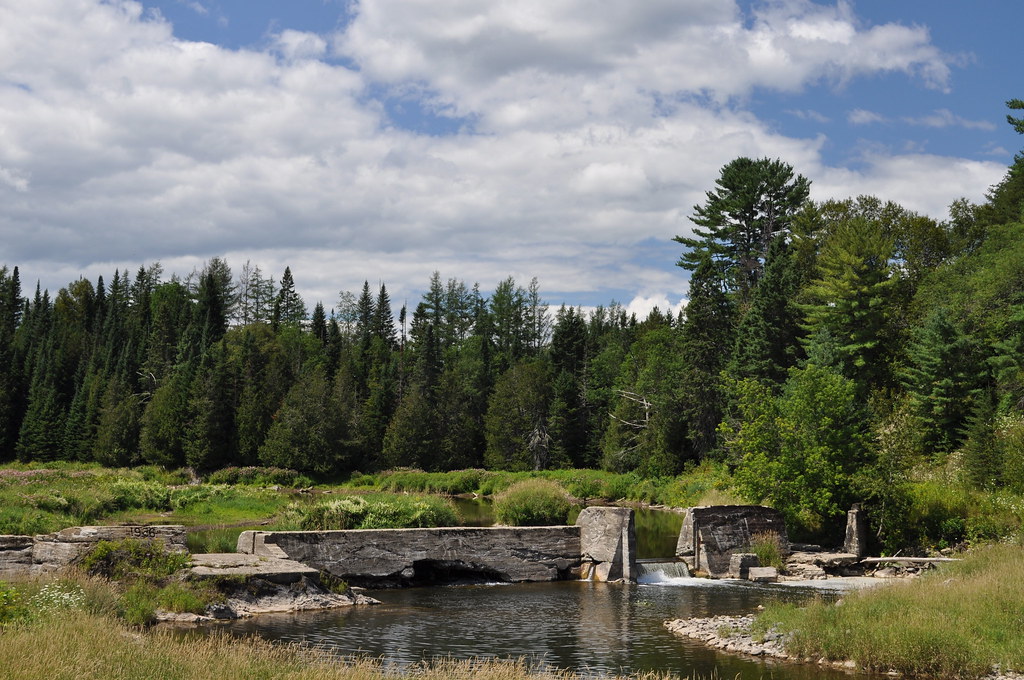
Busted Dam 2

Mars Hill 5

Mars Hill 6

Mars Hill 2

Mars Hill 4

Mars Hill 3

Mars Hill 1
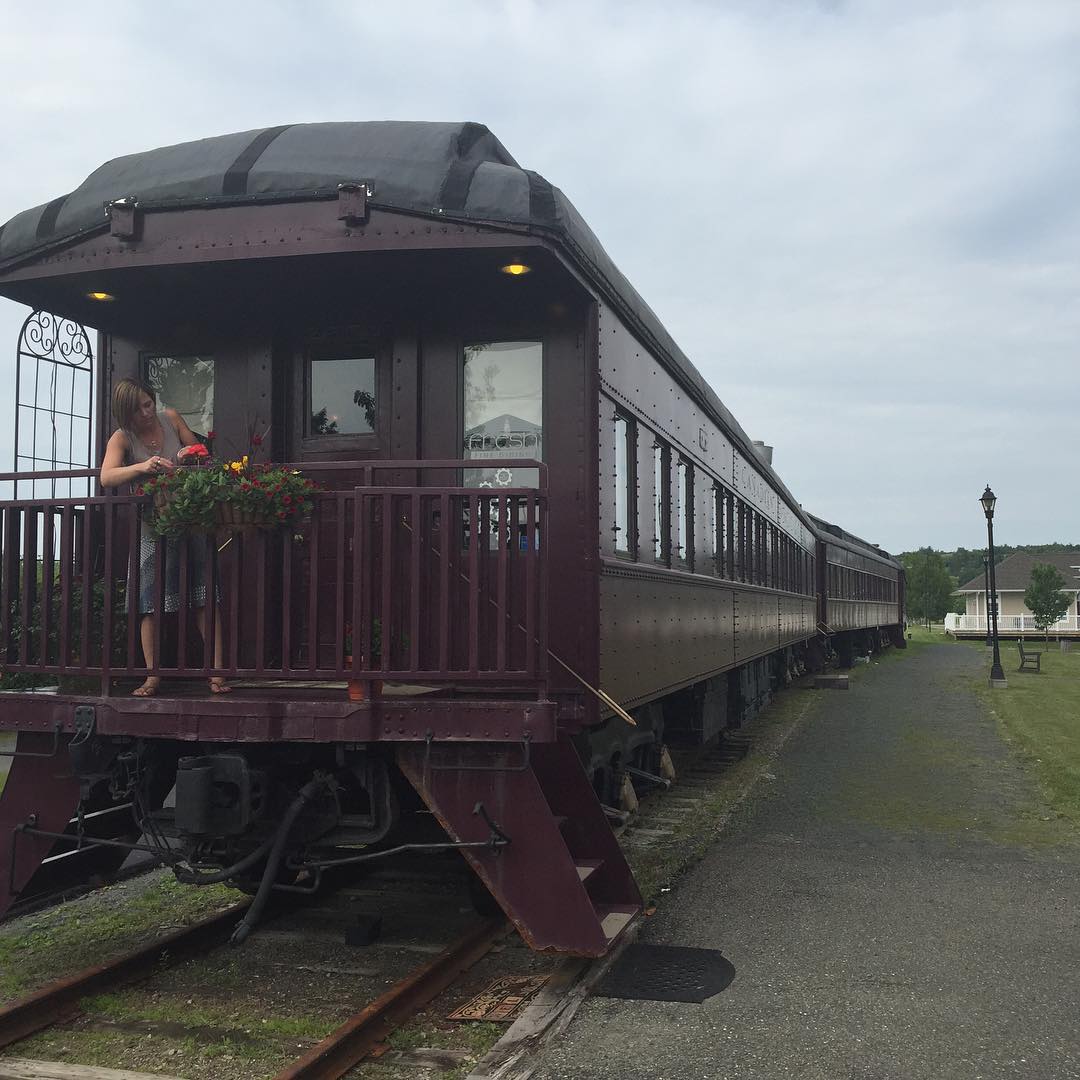
I am dining in a 1931 CPR rail car tonight in Bristol New Brunswick. Fresh Fine Dining #30DaysInNB #explorenb #train @explorenewbrunswick
Topographic Map of Upper Kent, NB E7J, Canada
Find elevation by address:

Places in Upper Kent, NB E7J, Canada:
Places near Upper Kent, NB E7J, Canada:
Wicklow
Knoxford
7706 Nb-130
11300 Nb-130
11300 Nb-130
11300 Nb-130
NB-, Wicklow, NB E7K, Canada
NB-, Tracey Mills, NB E7K 2C5, Canada
NB-, East Centreville, NB E7K 2L9, Canada
Central St, Centreville, NB E7K 3E6, Canada
Centreville
Village Of Centreville Fire Station
370 Centreville Rd
Johnville
Johnville Rd, Johnville, NB E7J 1J6, Canada
Snow Rd, Bridgewater, ME, USA
US-1, Bridgewater, ME, USA
Bridgewater
Carlow
9 Campbell Hill Rd, Carlow, NB E7L 2T1, Canada
Recent Searches:
- Elevation of Corso Fratelli Cairoli, 35, Macerata MC, Italy
- Elevation of Tallevast Rd, Sarasota, FL, USA
- Elevation of 4th St E, Sonoma, CA, USA
- Elevation of Black Hollow Rd, Pennsdale, PA, USA
- Elevation of Oakland Ave, Williamsport, PA, USA
- Elevation of Pedrógão Grande, Portugal
- Elevation of Klee Dr, Martinsburg, WV, USA
- Elevation of Via Roma, Pieranica CR, Italy
- Elevation of Tavkvetili Mountain, Georgia
- Elevation of Hartfords Bluff Cir, Mt Pleasant, SC, USA