Elevation of Versainville, France
Location: France > Normandy > Calvados >
Longitude: -0.176267
Latitude: 48.916923
Elevation: 121m / 397feet
Barometric Pressure: 100KPa
Elevation Map:
Satellite Map:
Related Photos:

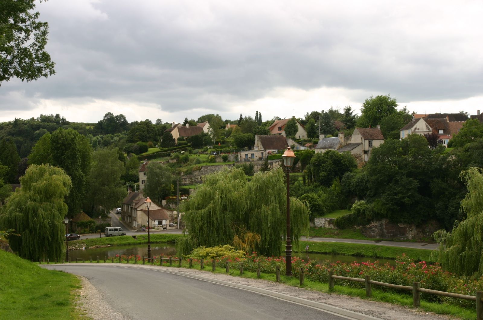
Falaise, Baisse-Normandie - 9 shot panorama

Copenhagen Nyhavn Street South

Porte des Cordeliers, Falaise
la falaise-img_5238
Castle view

IMG_9508 View over Falaise from the Chateau
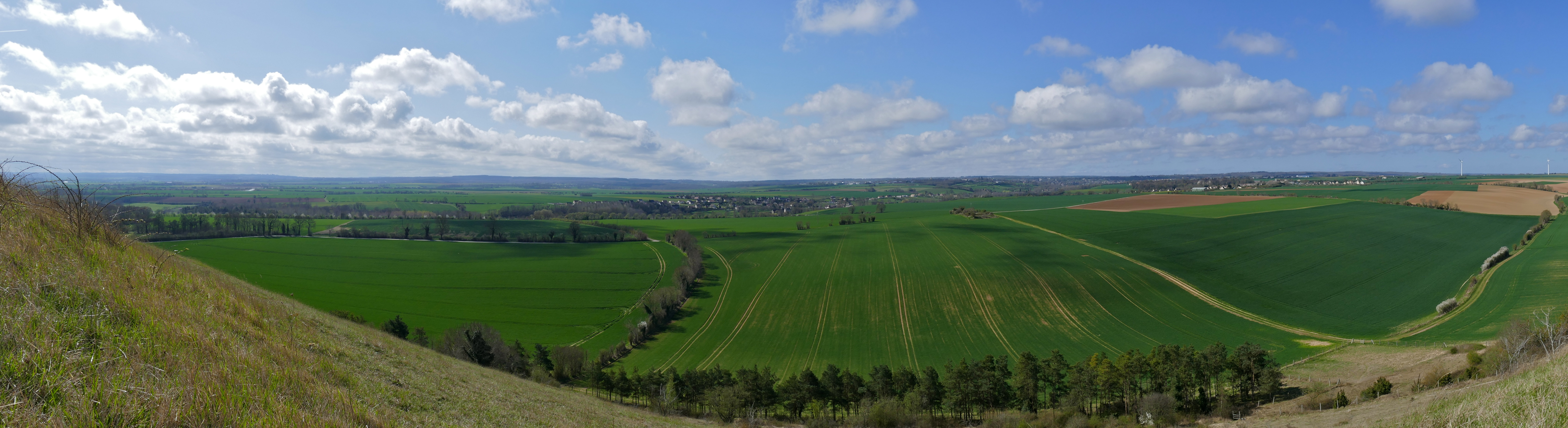
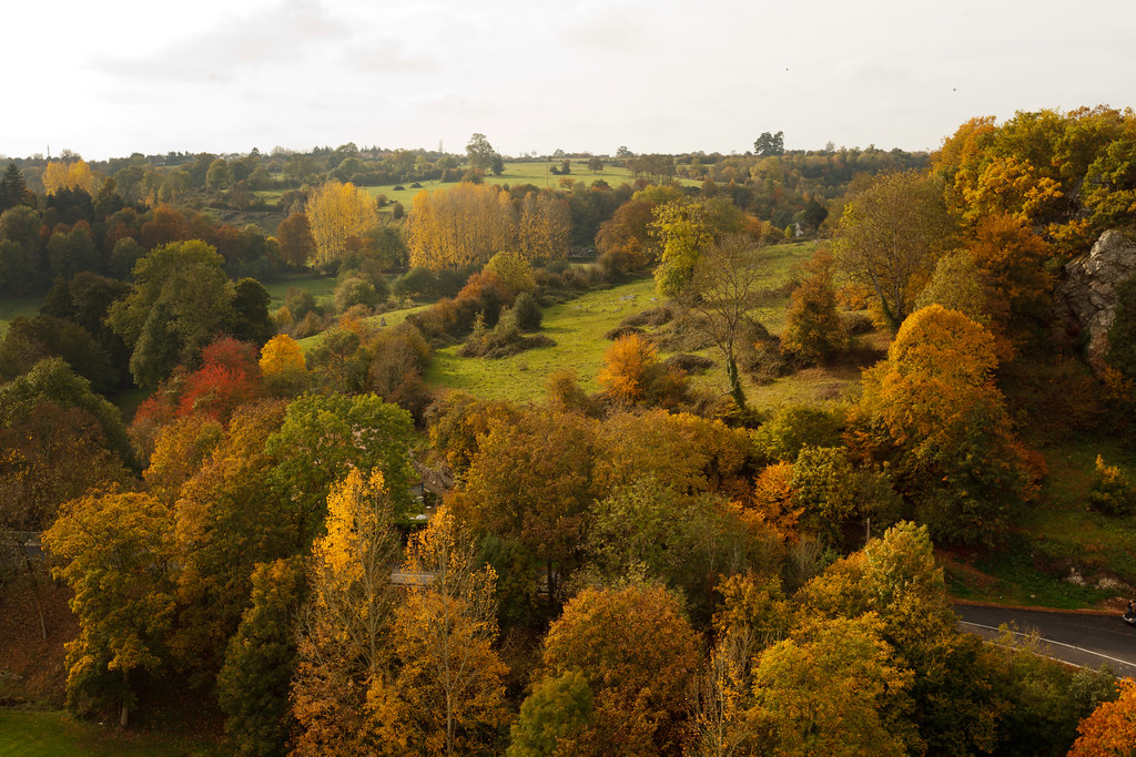
View from Coteau de Mesnil-Soleil
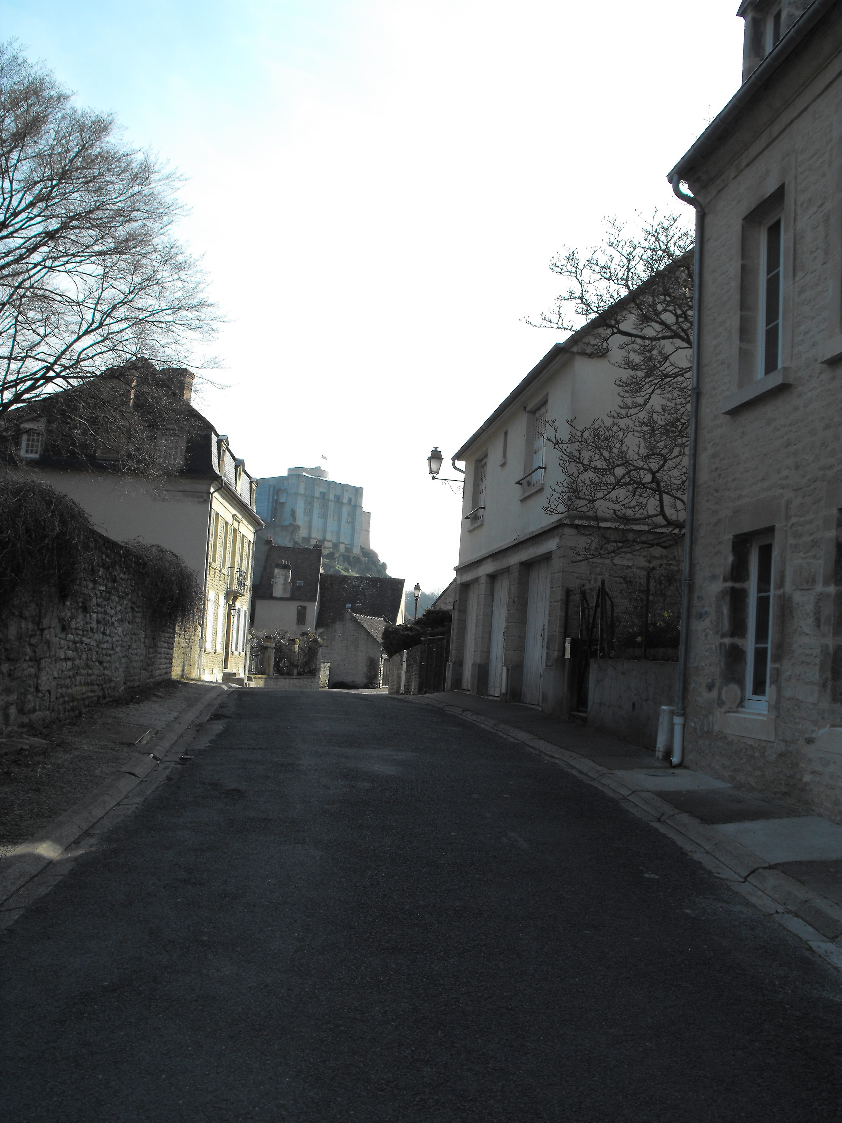
Falaise Castle
view of Falaise from Château
La brèche au diable II
Falaise - Normandy, France
La brêche au diable I
Ancienne voie ferrée - Gouvix

La brèche au Diable 2
La petite maison dans la prairie
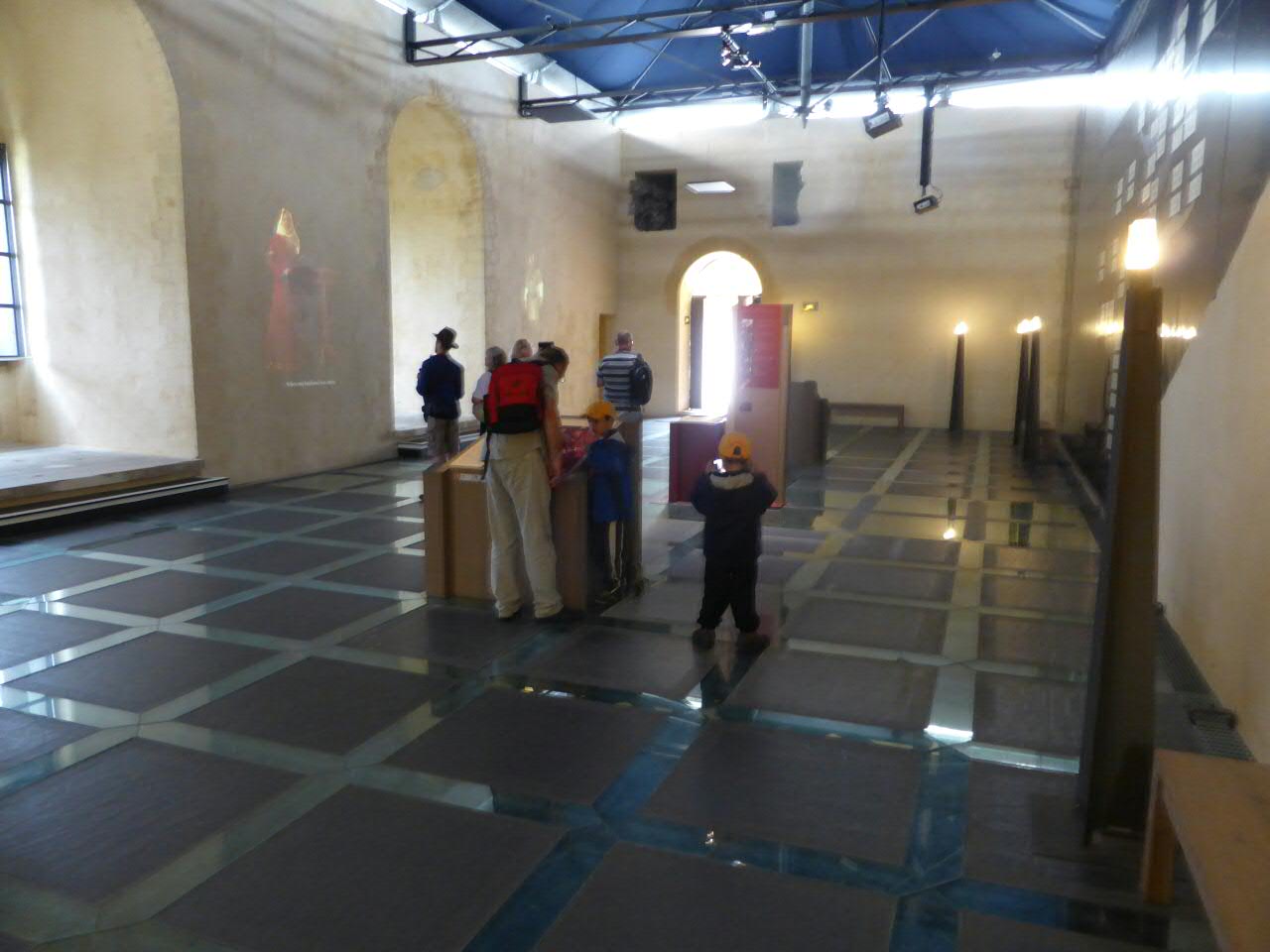
Château de Falaise
La Brèche au Diable #2
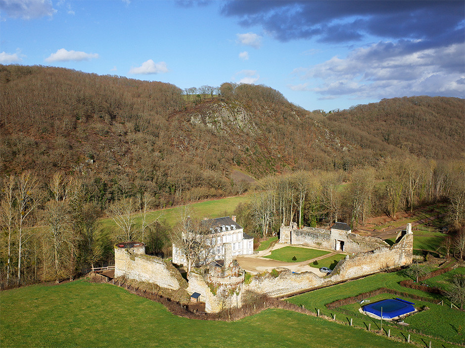
Château de la Forêt-Auvray (Orne-FR)
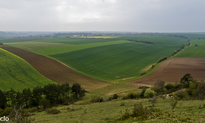
Champs, un jour de pluie (14/04/2012)
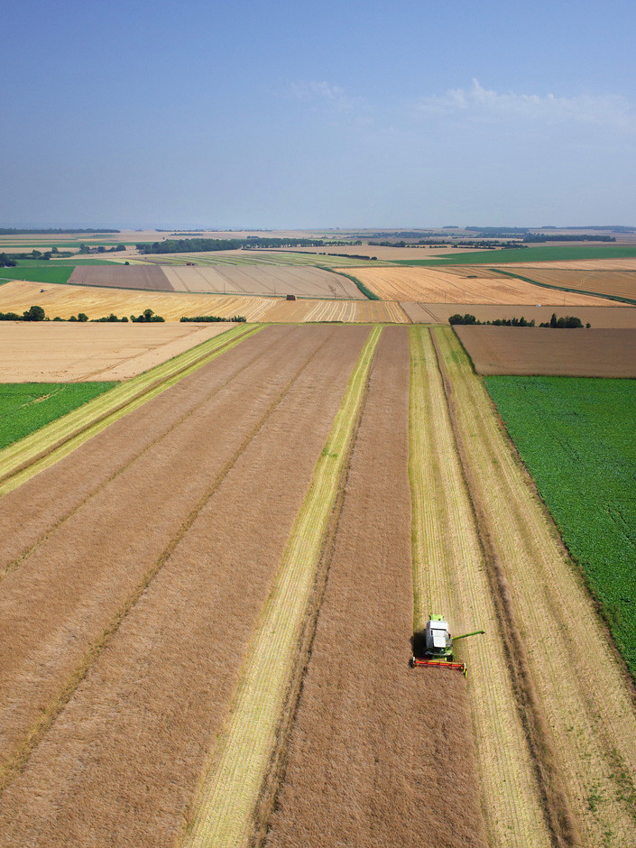
La moisson à Saint-Sylvain (Calvados-FR)
Château d'Outrelaize à Gouvix (Calvados-FR)

Château de la Forêt-Auvray (Orne-FR)
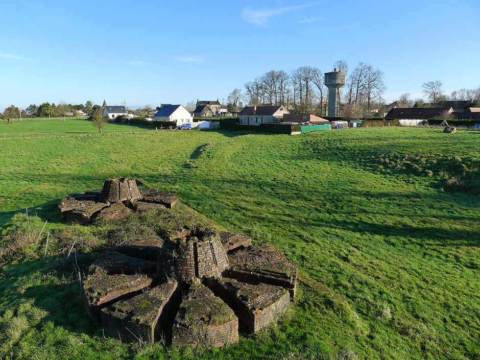
Fours à griller de la Fontaine à Saint-Germain-le-vasson (Calvados-FR)
Falaise, Normandy, France
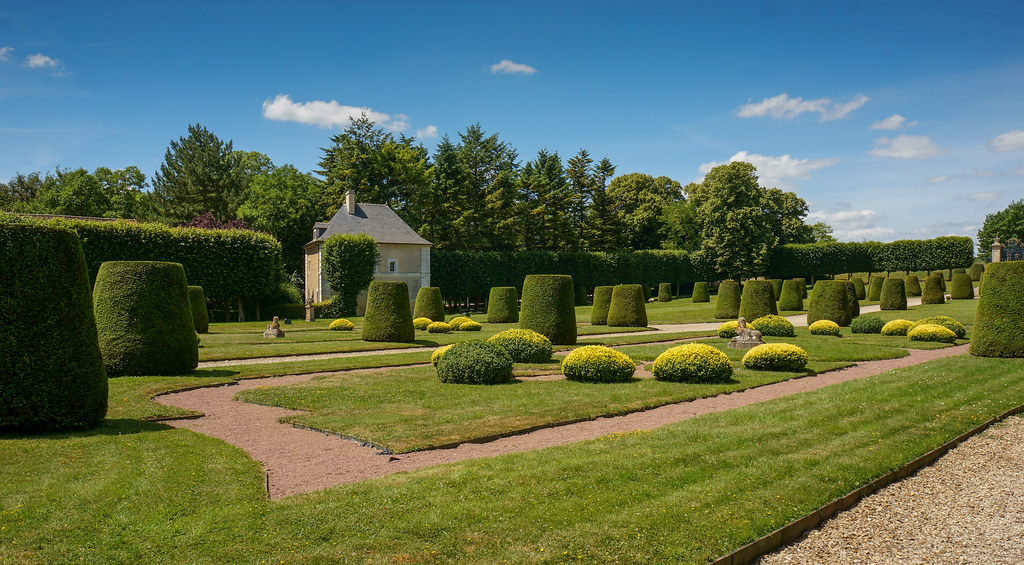
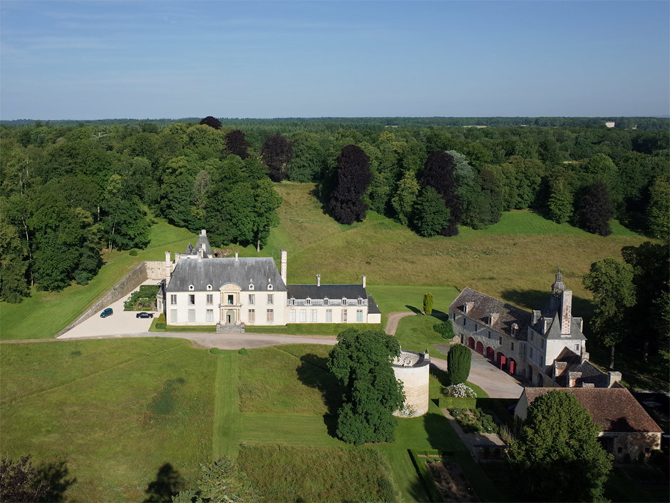
Château de Vendeuvre
Château de Vendeuvre

166- dec 2012 011
Falaise - The château
La brèche au Diable 1
Chateau de Vendeuvre
Topographic Map of Versainville, France
Find elevation by address:

Places in Versainville, France:
Places near Versainville, France:
4 Rue Neuve, Versainville, France
9 Le Bourg, Épaney, France
Falaise
Épaney
22 Voie Communale sous les Rochers, Falaise, France
Fresné-la-mère
1 Le Camp, Fresné-la-Mère, France
Maizières
2 Rue Major Edouard Grieg Styffe, Maizières, France
Ussy
16 Le Bourg, Ernes, France
Ernes
Soignolles
6 Rue des Glycines, Soignolles, France
Fontaine-le-pin
1 Rue des Orailles, Fontaine-le-Pin, France
3 Le Bourg, Giel-Courteilles, France
Giel-courteilles
Cauvicourt
45 Rue du Huit Mai, Cauvicourt, France
Recent Searches:
- Elevation of Kambingan Sa Pansol Atbp., Purok 7 Pansol, Candaba, Pampanga, Philippines
- Elevation of Pinewood Dr, New Bern, NC, USA
- Elevation of Mountain View, CA, USA
- Elevation of Foligno, Province of Perugia, Italy
- Elevation of Blauwestad, Netherlands
- Elevation of Bella Terra Blvd, Estero, FL, USA
- Elevation of Estates Loop, Priest River, ID, USA
- Elevation of Woodland Oak Pl, Thousand Oaks, CA, USA
- Elevation of Brownsdale Rd, Renfrew, PA, USA
- Elevation of Corcoran Ln, Suffolk, VA, USA