Elevation of 3 Le Bourg, Giel-Courteilles, France
Location: France > Normandy > Orne > Giel-courteilles >
Longitude: -0.201988
Latitude: 48.7738347
Elevation: 234m / 768feet
Barometric Pressure: 99KPa
Elevation Map:
Satellite Map:
Related Photos:
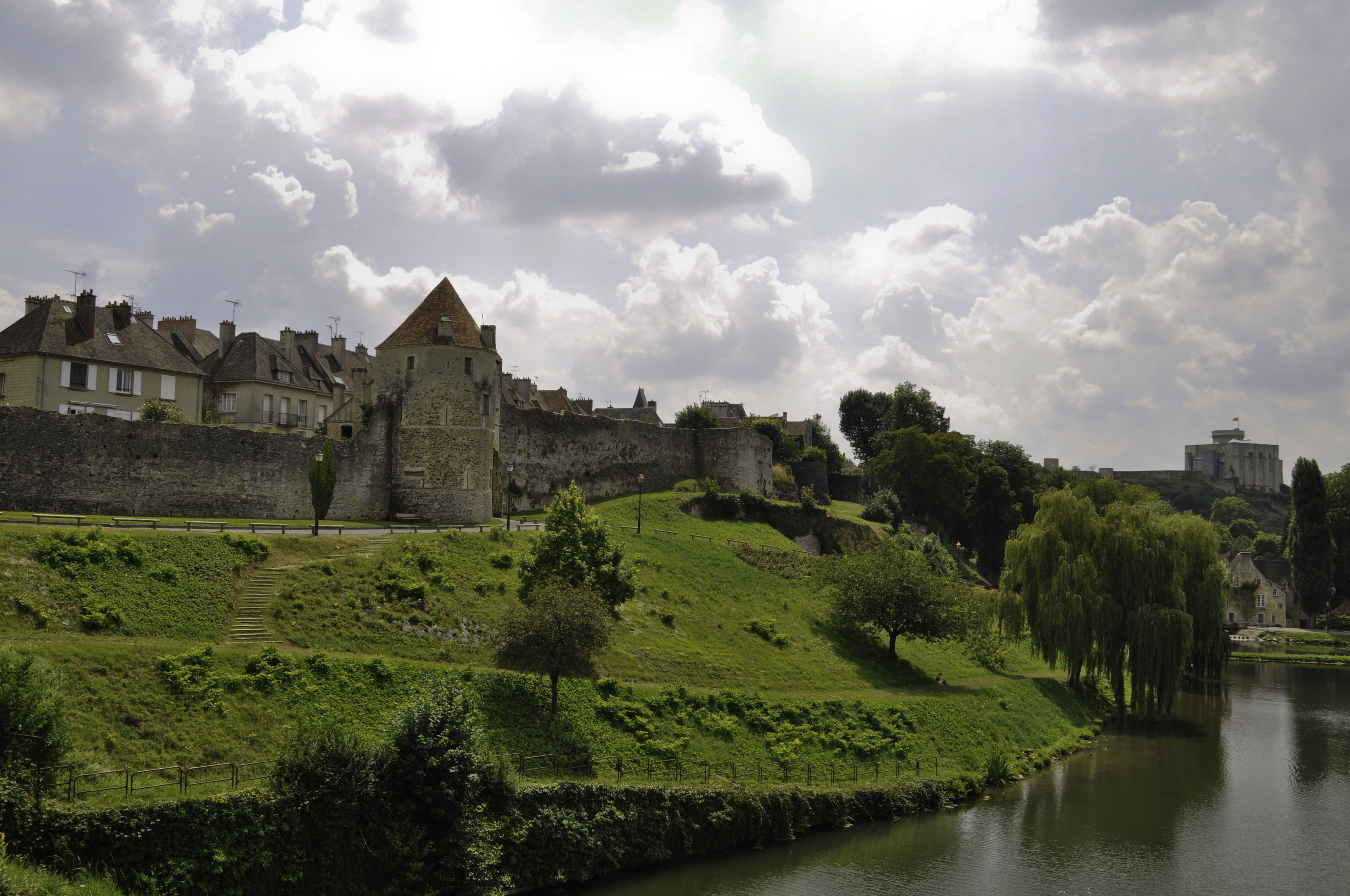
Falaise Castle

Falaise, Baisse-Normandie - 9 shot panorama
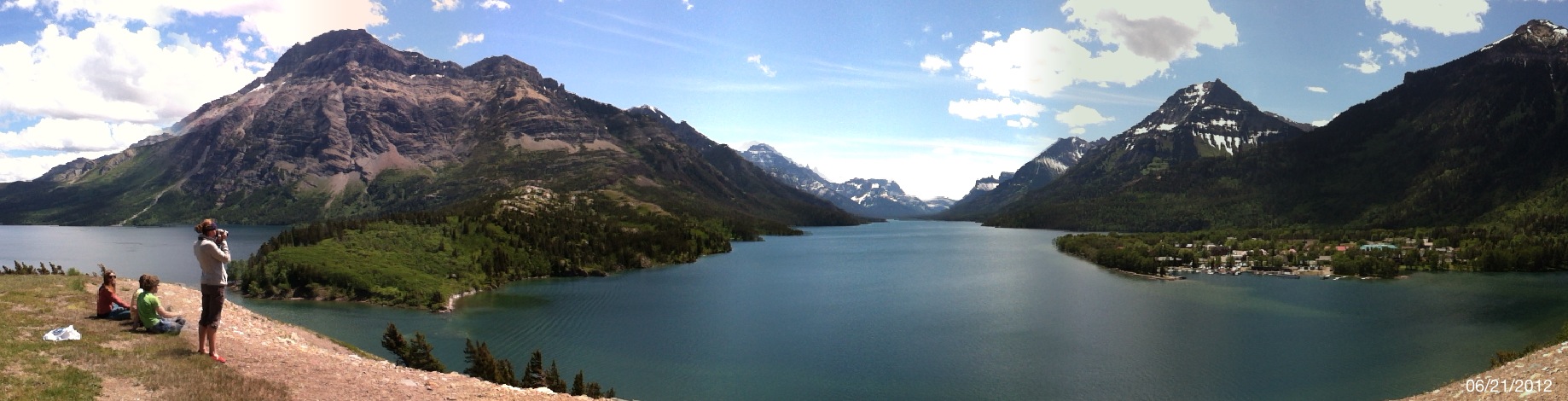
GNP: Waterton Lakes National Park

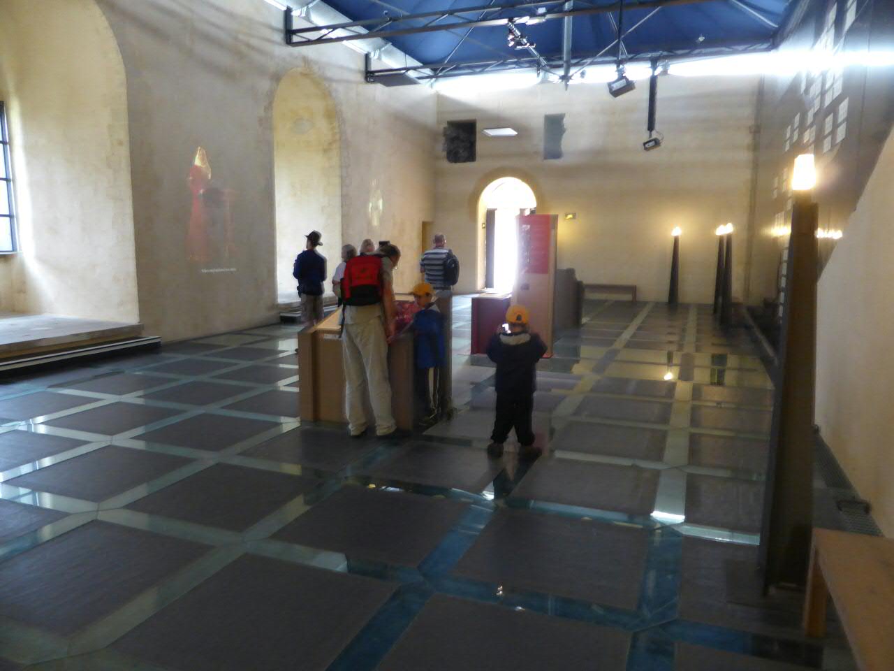
Porte des Cordeliers, Falaise

Through Argentan station
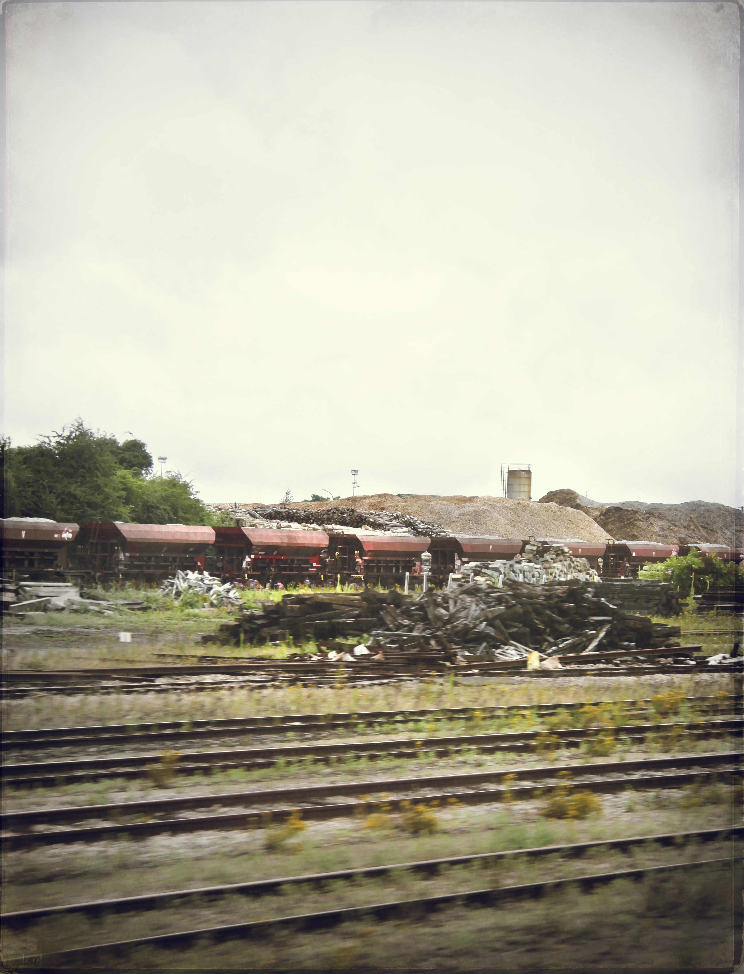
Through Argentan station
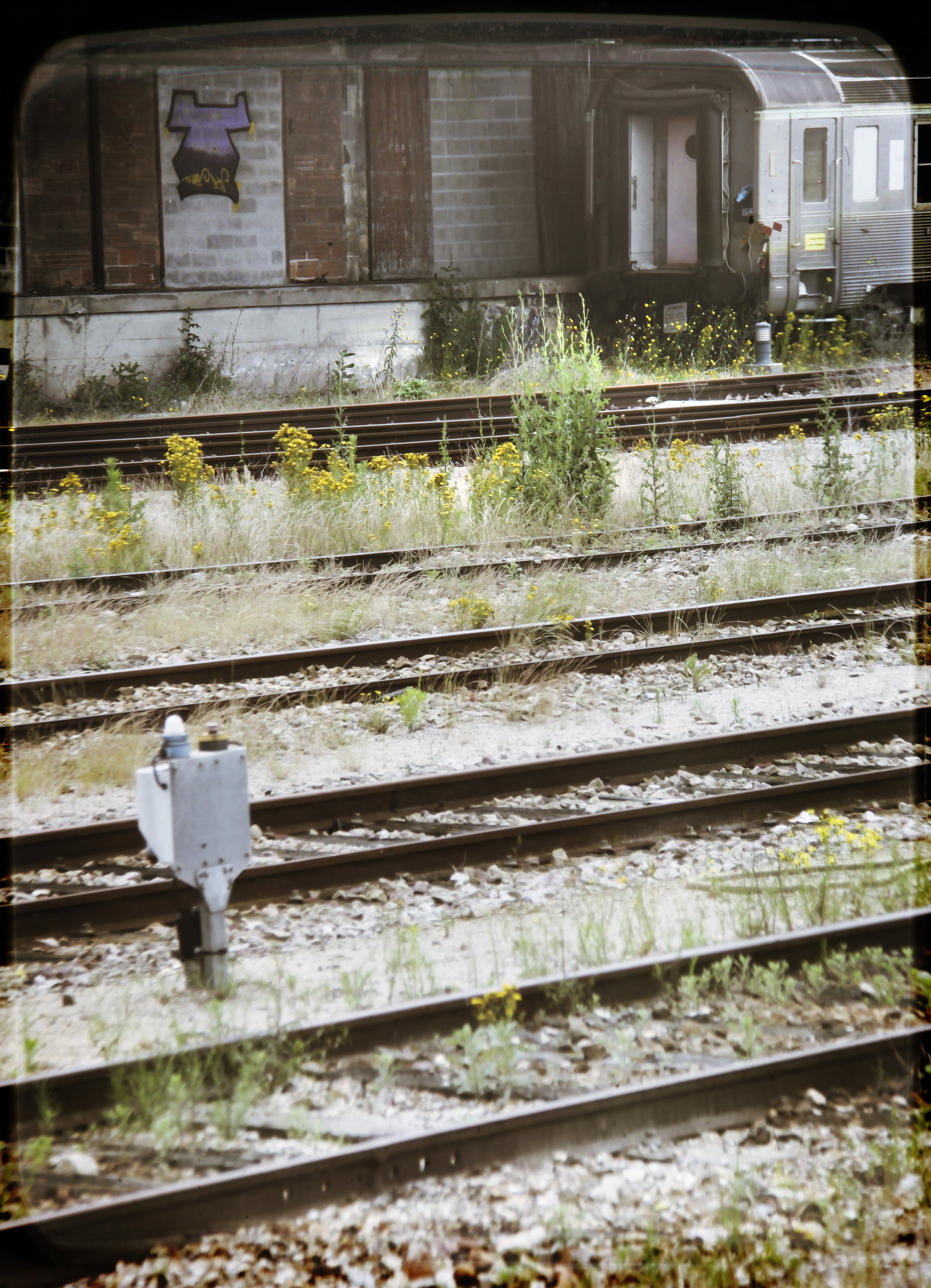
Through Argentan station
la falaise-img_5238

Through Argentan station
Castle view
View from the cabin porch

IMG_9508 View over Falaise from the Chateau
view of Falaise from Château

16 août 2011 x 4776 Train 766243 Alençon -> Argentan Argentan (61)
Sevrai Chevaux couleurs IMG_5604

Eglise Saint-Martin de la Courbe (Orne-FR)

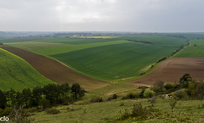
Field, Normandy
Chantier archéologique à Goulet (Orne-FR)
Falaise - The château
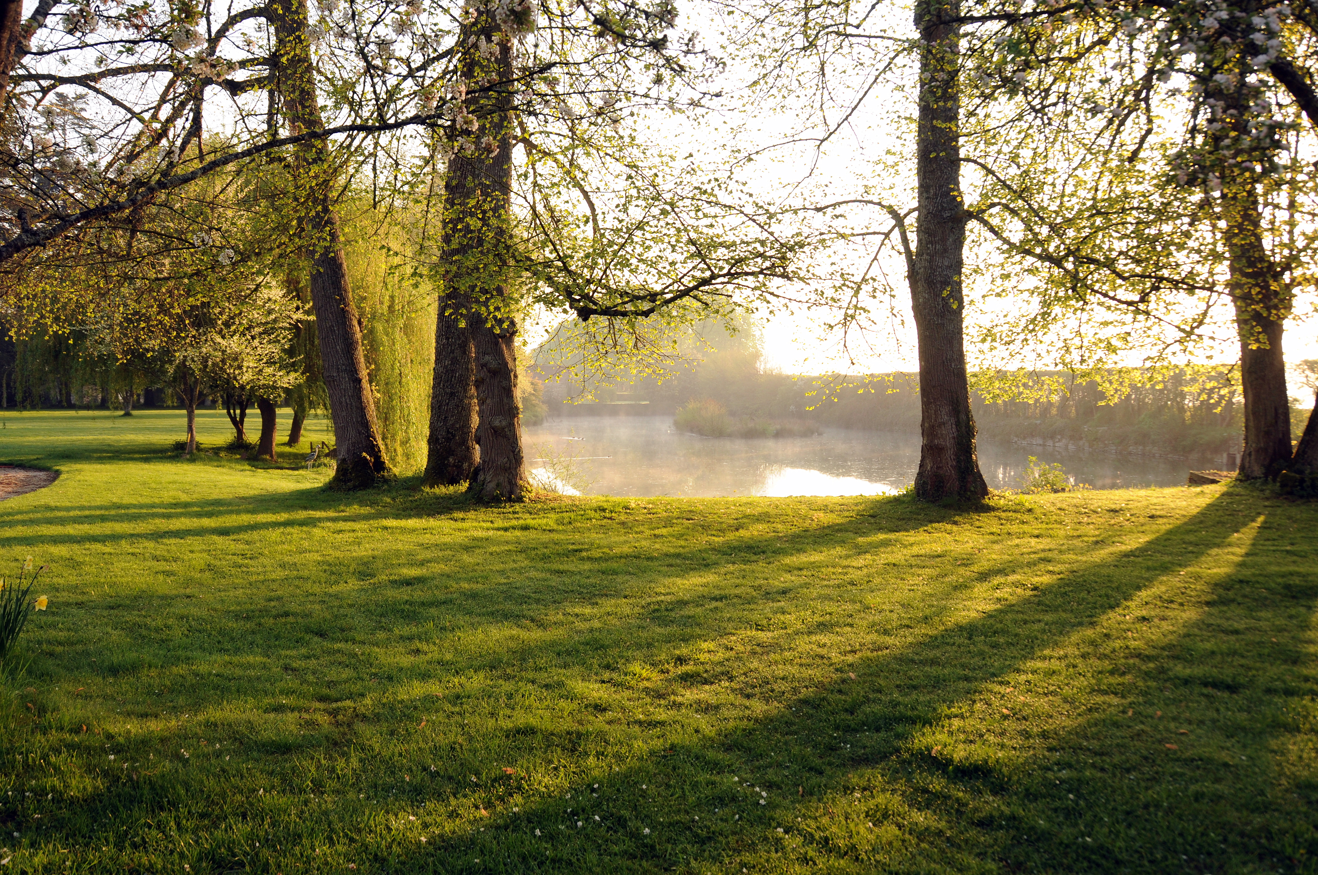
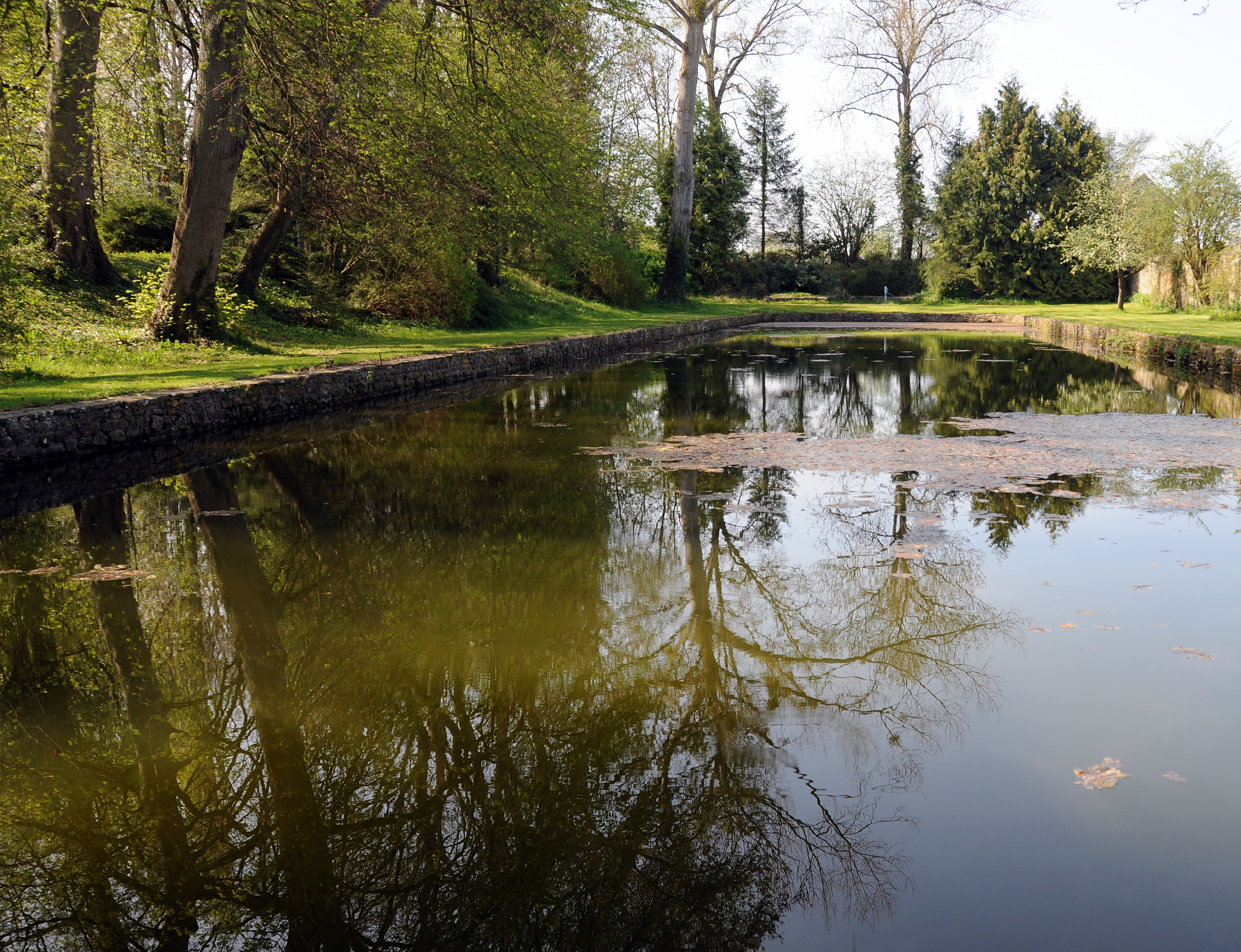
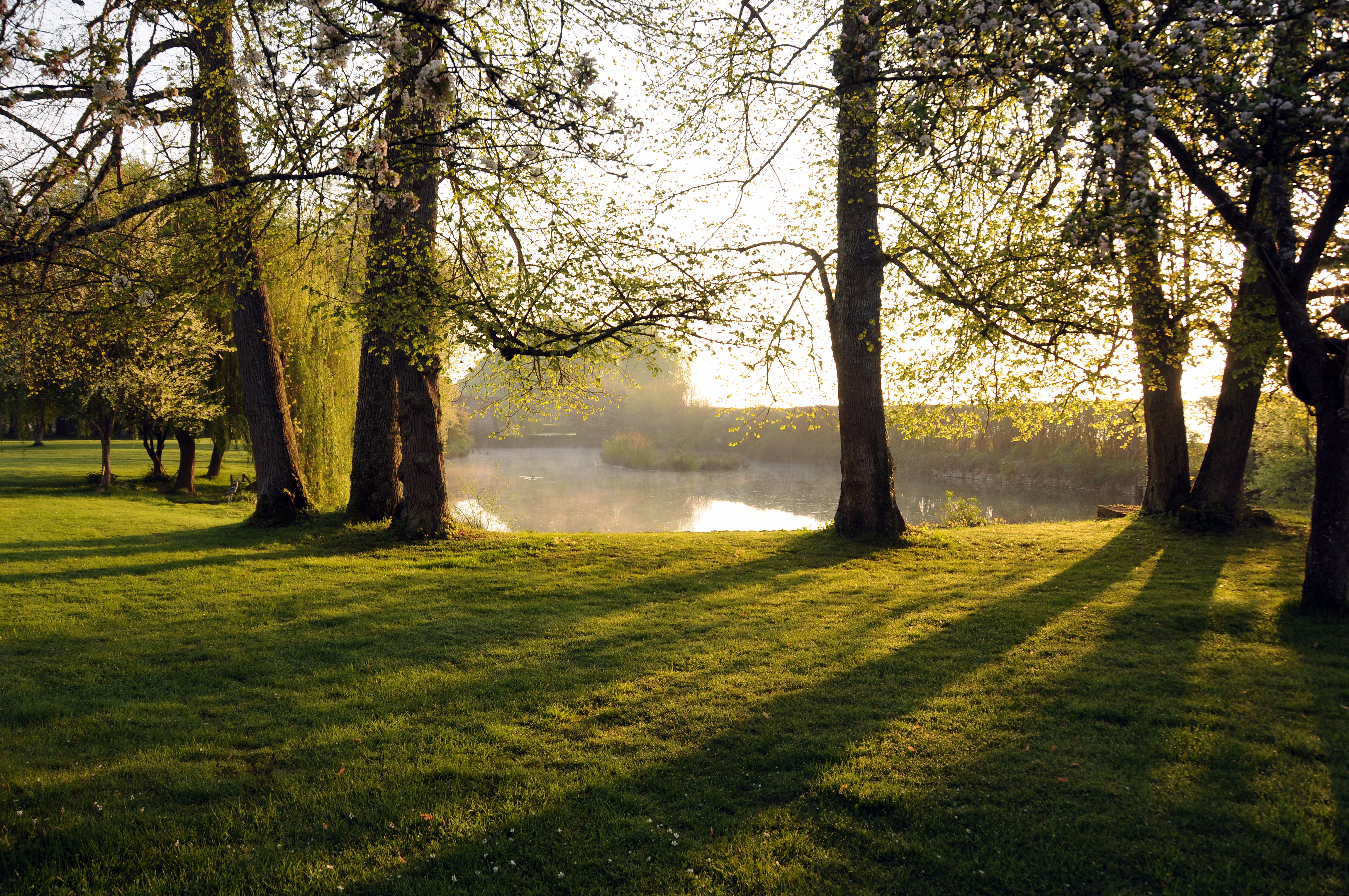
L'Orne
Falaise - Normandy, France
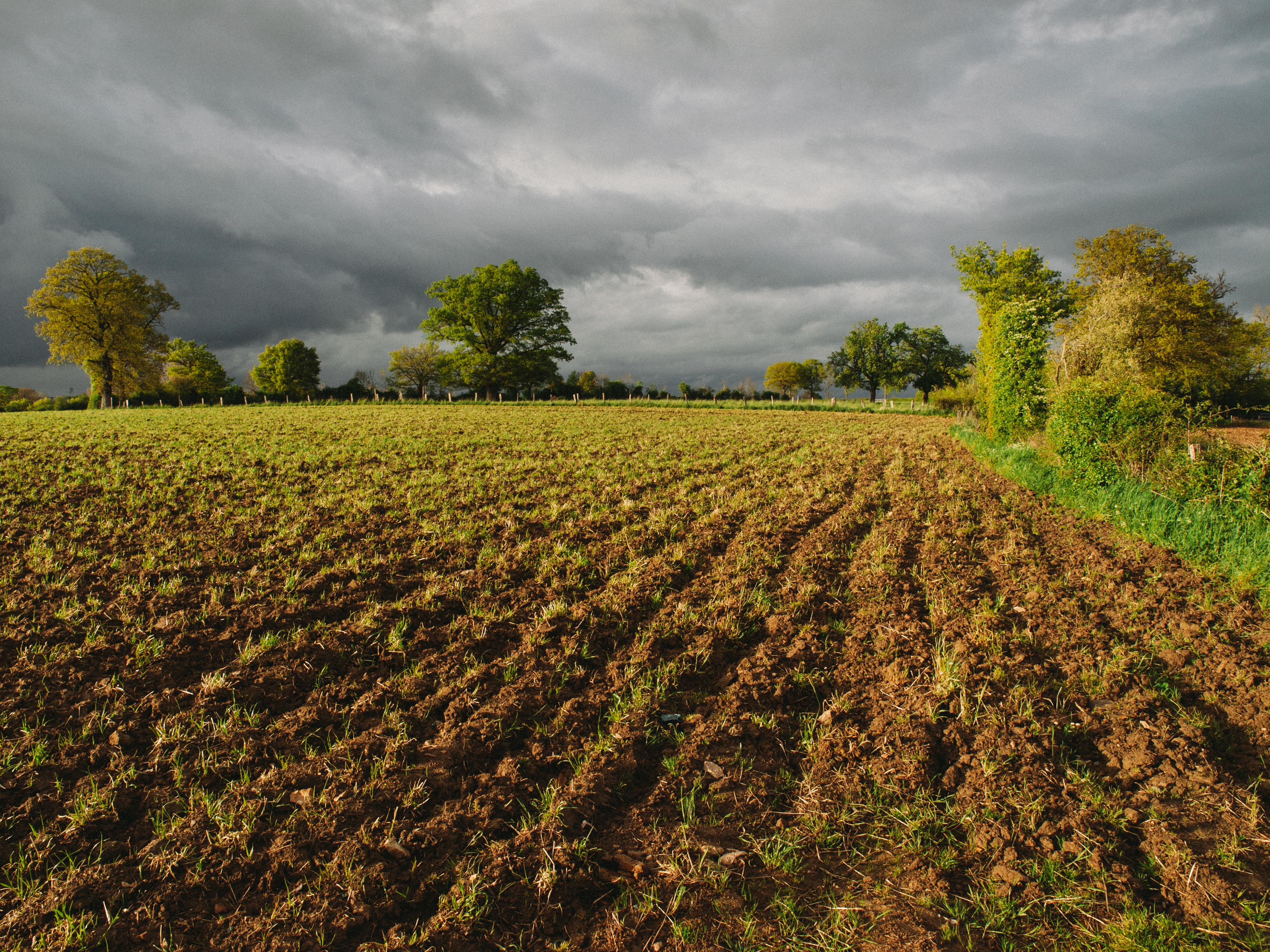
Interesting weather
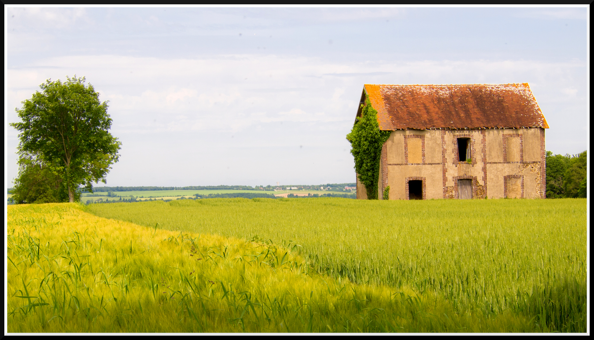
Dans la maison vide ...
Normandy 12-04-2011 8-08-20 a.m..JPG
Normandy 10-04-2011 4-07-53 p.m..JPG
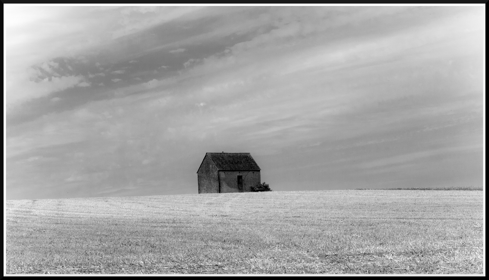
La petite maison dans la prairie
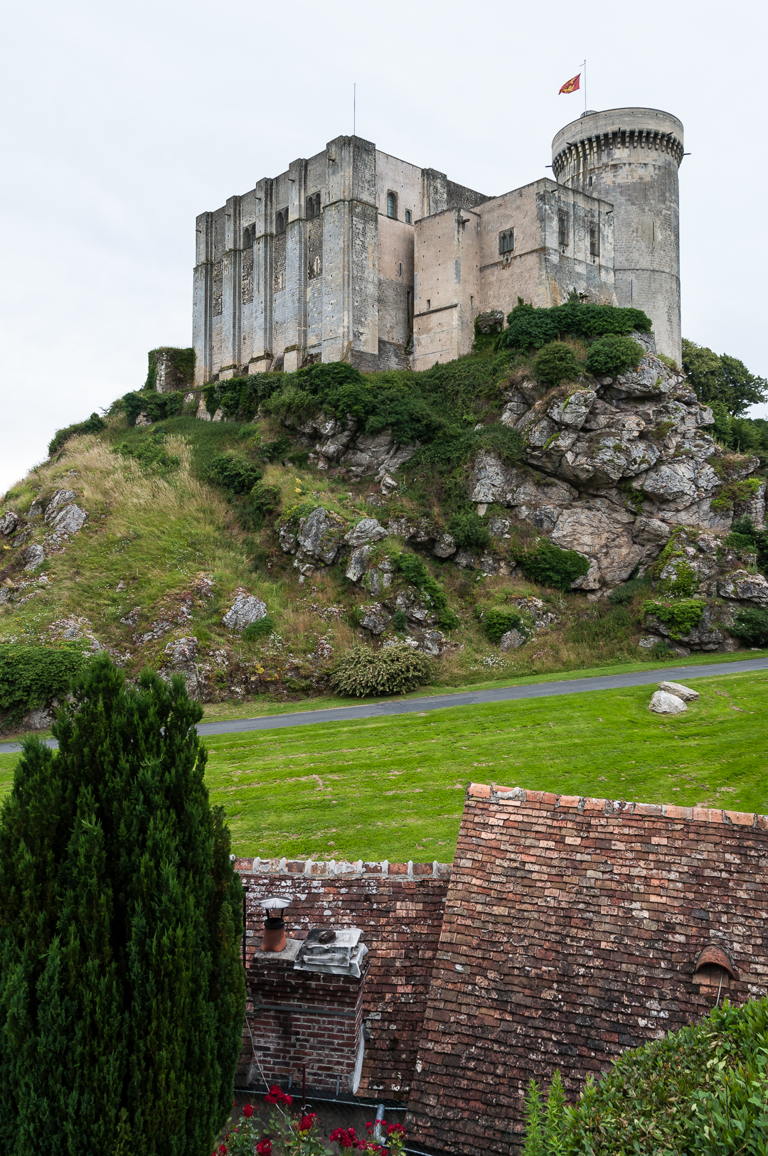
Château de Falaise
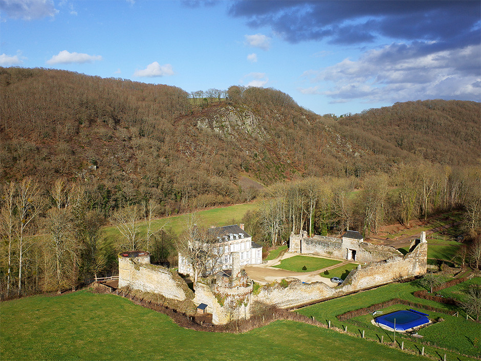
Château de la Forêt-Auvray (Orne-FR)
Champs, un jour de pluie (14/04/2012)
Normandy 12-04-2011 8-08-39 a.m..JPG

Château de la Forêt-Auvray (Orne-FR)
Falaise, Normandy, France
Topographic Map of 3 Le Bourg, Giel-Courteilles, France
Find elevation by address:

Places near 3 Le Bourg, Giel-Courteilles, France:
Giel-courteilles
3 Ménil-Glaise, Serans, France
Les Yveteaux
Serans
18 Le Clos de la Mare, Les Yveteaux, France
Falaise
22 Voie Communale sous les Rochers, Falaise, France
4 Rue Neuve, Versainville, France
Versainville
Fresné-la-mère
1 Le Camp, Fresné-la-Mère, France
9 Le Bourg, Épaney, France
Épaney
Ussy
Fontaine-le-pin
Pont-d'ouilly
1 Rue des Orailles, Fontaine-le-Pin, France
Maizières
2 Rue Major Edouard Grieg Styffe, Maizières, France
Saint-patrice-du-désert
Recent Searches:
- Elevation of Woodland Oak Pl, Thousand Oaks, CA, USA
- Elevation of Brownsdale Rd, Renfrew, PA, USA
- Elevation of Corcoran Ln, Suffolk, VA, USA
- Elevation of Mamala II, Sariaya, Quezon, Philippines
- Elevation of Sarangdanda, Nepal
- Elevation of 7 Waterfall Way, Tomball, TX, USA
- Elevation of SW 57th Ave, Portland, OR, USA
- Elevation of Crocker Dr, Vacaville, CA, USA
- Elevation of Pu Ngaol Community Meeting Hall, HWHM+3X7, Krong Saen Monourom, Cambodia
- Elevation of Royal Ontario Museum, Queens Park, Toronto, ON M5S 2C6, Canada