Elevation of Fontaine-le-Pin, France
Location: France > Normandy > Calvados >
Longitude: -0.283223
Latitude: 48.973956
Elevation: 180m / 591feet
Barometric Pressure: 99KPa
Elevation Map:
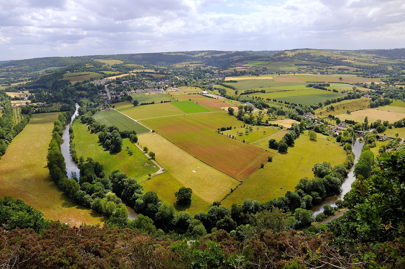
Satellite Map:
Related Photos:

Falaise, Baisse-Normandie - 9 shot panorama

Porte des Cordeliers, Falaise
Clécy - view from "Pain du Sucre"
la falaise-img_5238
Reflecting House
Great View
Castle view
Val de Maizet View North
Val De Maizet View South

IMG_9508 View over Falaise from the Chateau
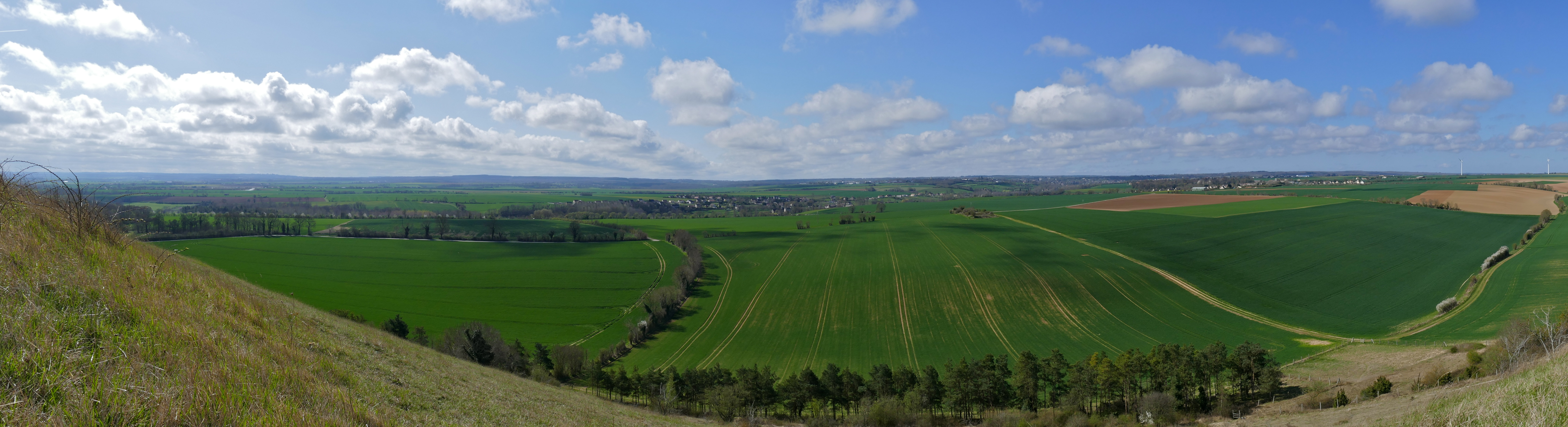
View from Coteau de Mesnil-Soleil
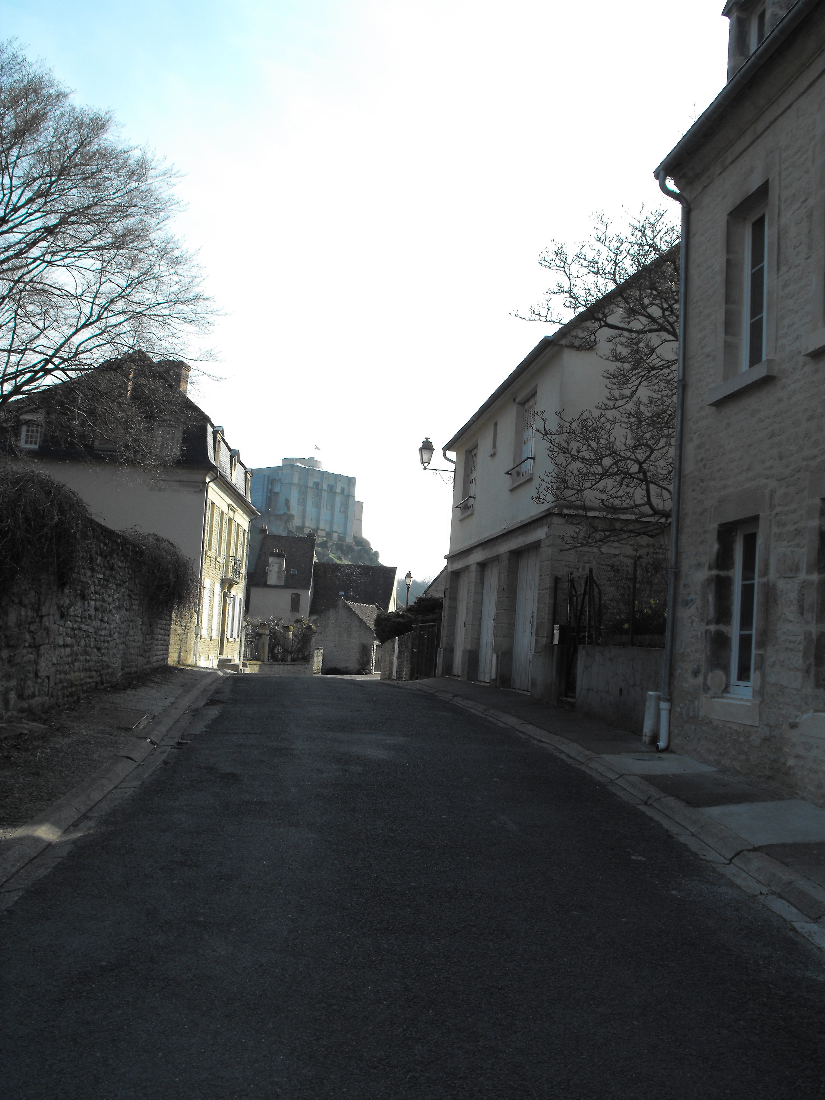
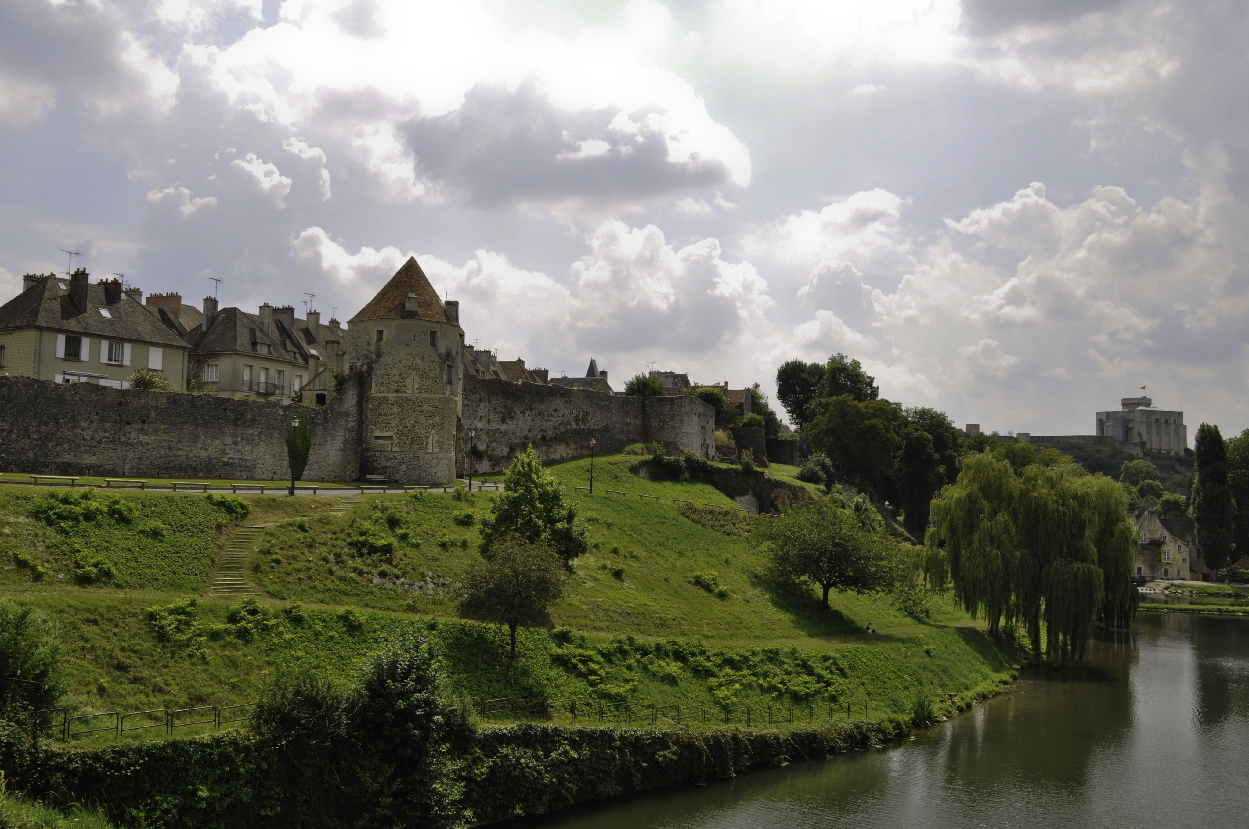
Falaise Castle

Château de Vendeuvre...
Chapelle...
view of Falaise from Château

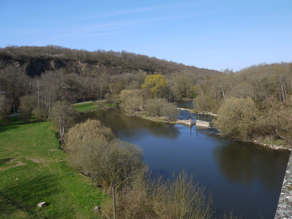
Clécy and the River Orne

Clecy 20 April 2015-0139.jpg
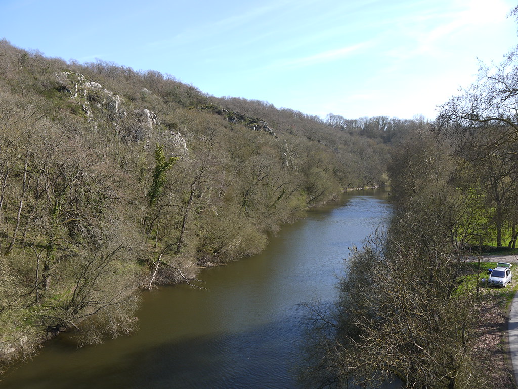
La brèche au diable II
Falaise - Normandy, France
La brêche au diable I
Suisse normande

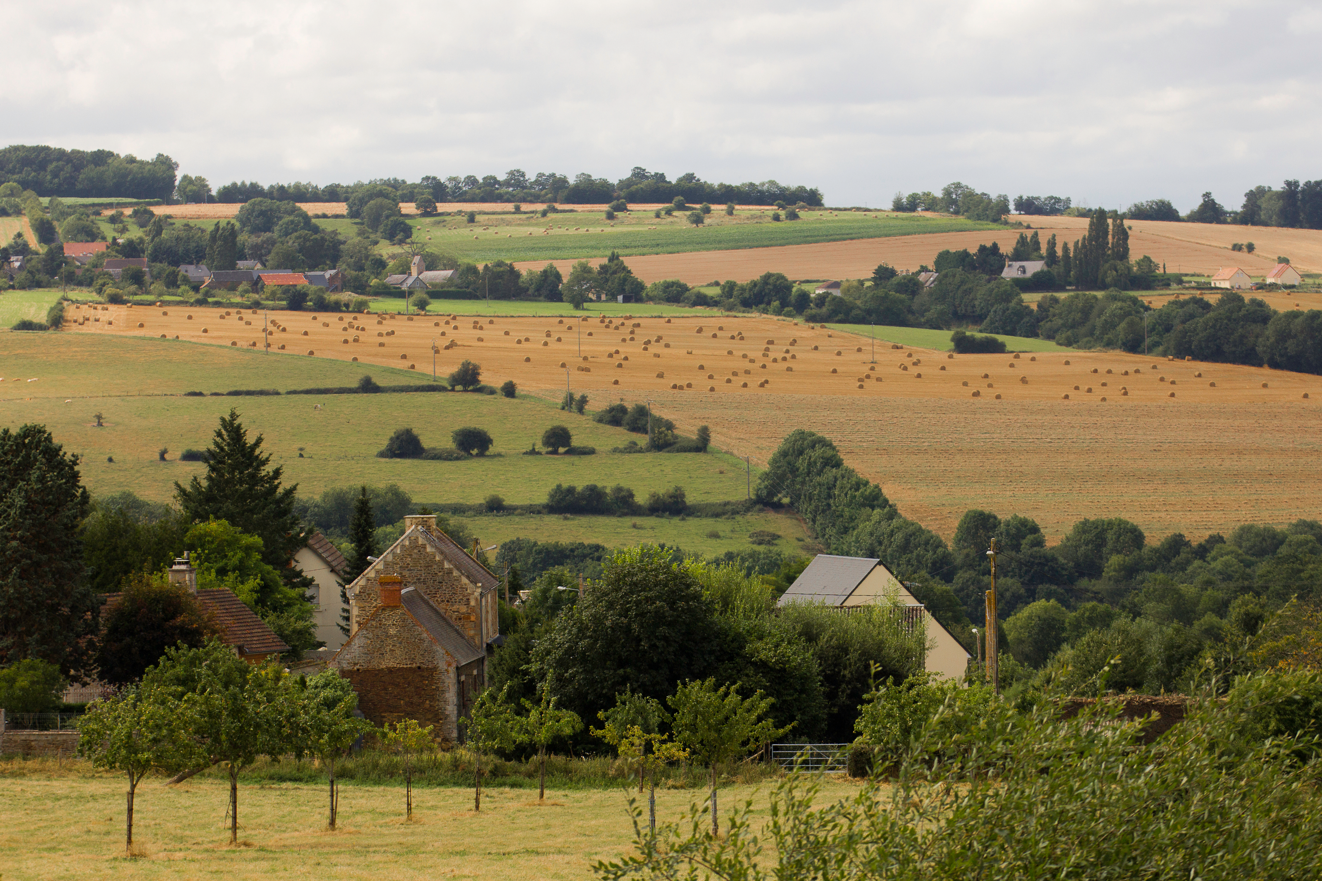
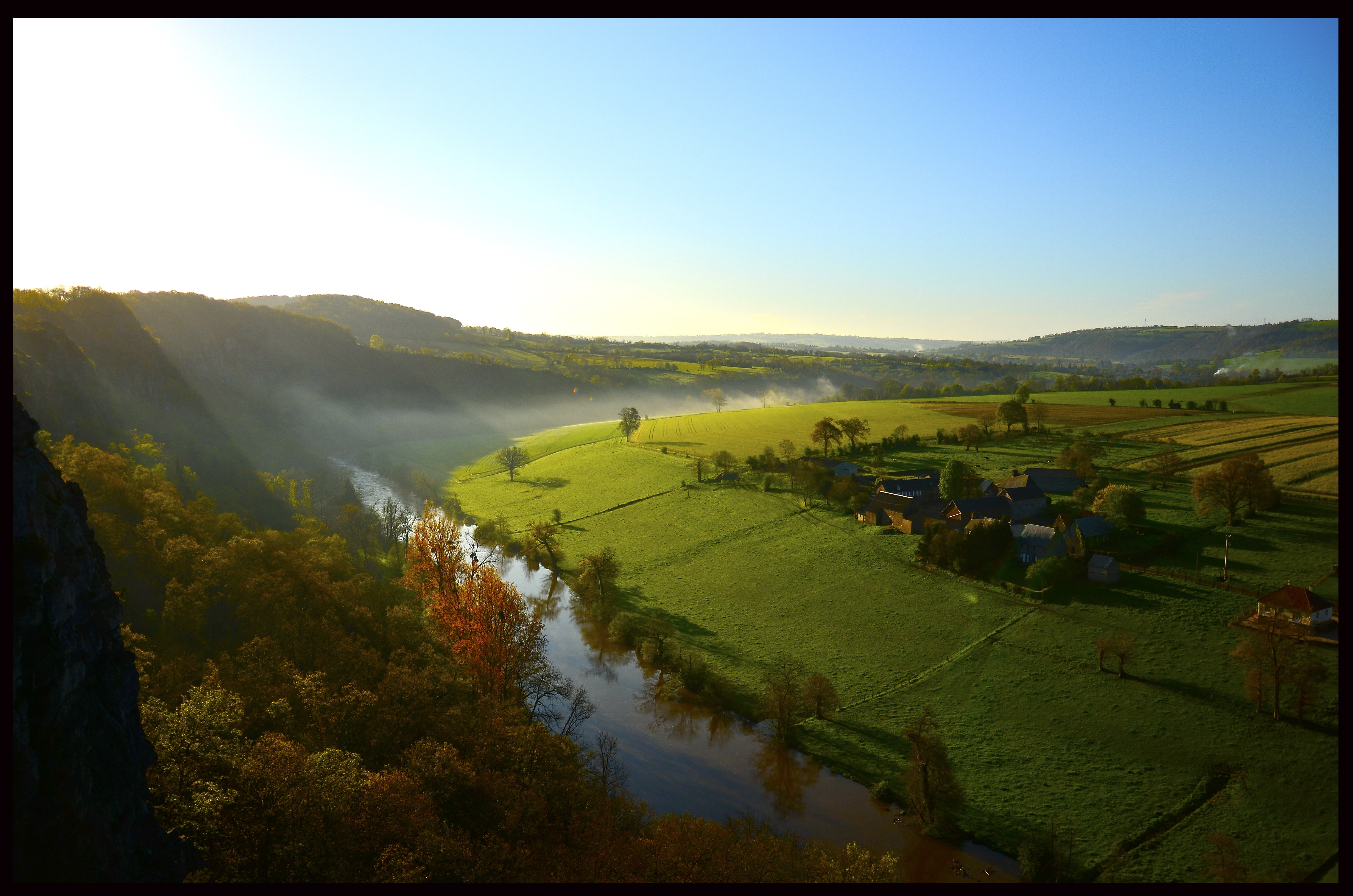
Val de Maizet (Calvados)

Fire in the sky
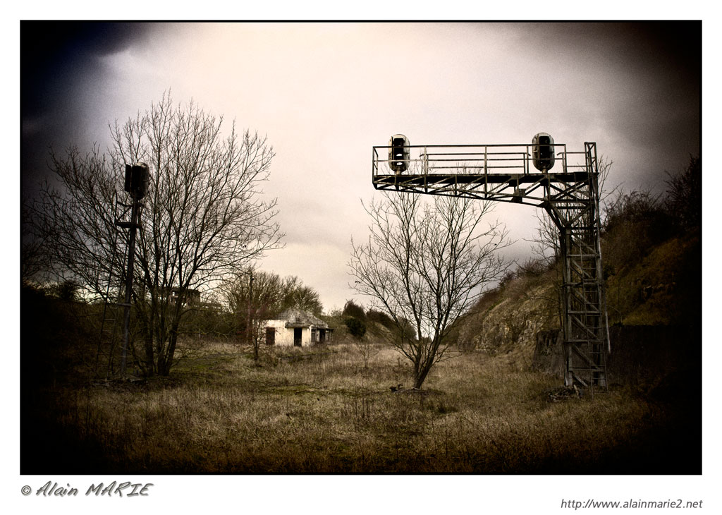
Ancienne voie ferrée - Gouvix

Forêt de Grimbosq (Calvados)

2016-01-14 16.00.13
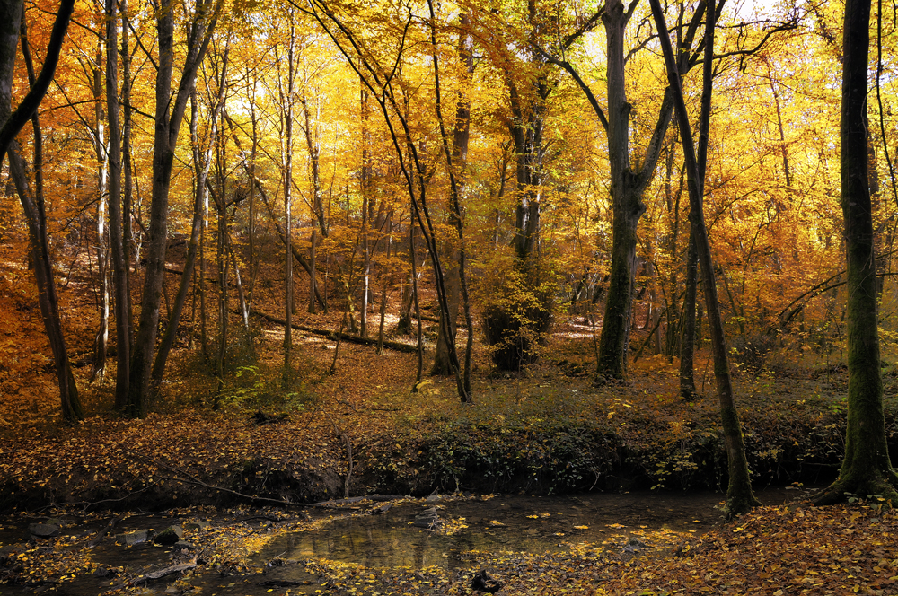
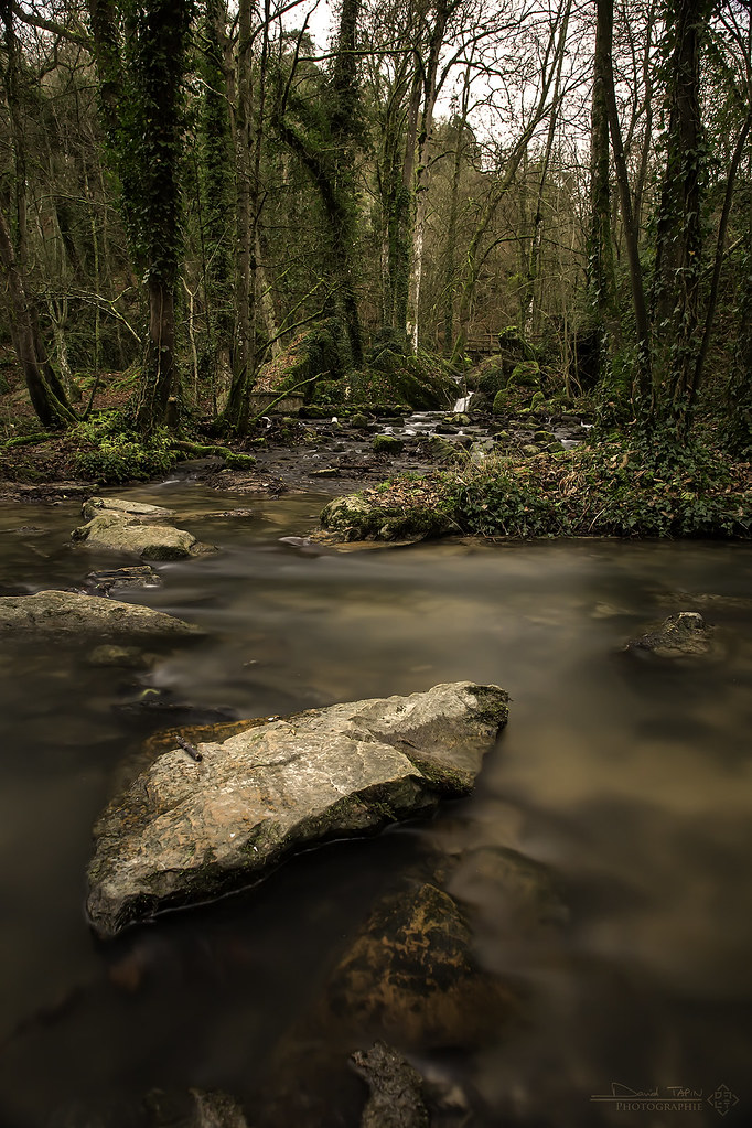
Sous-bois
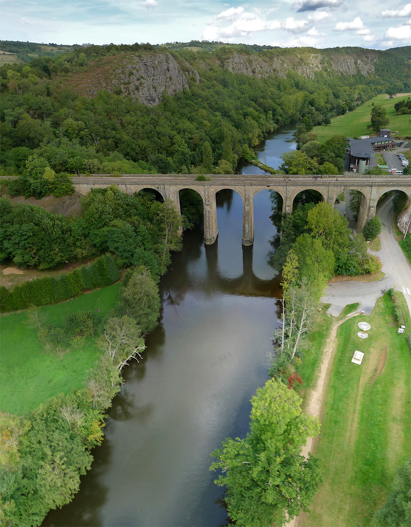
Viaduc de Clécy (Calvados-FR)
Clécy/Vallée de l'Orne
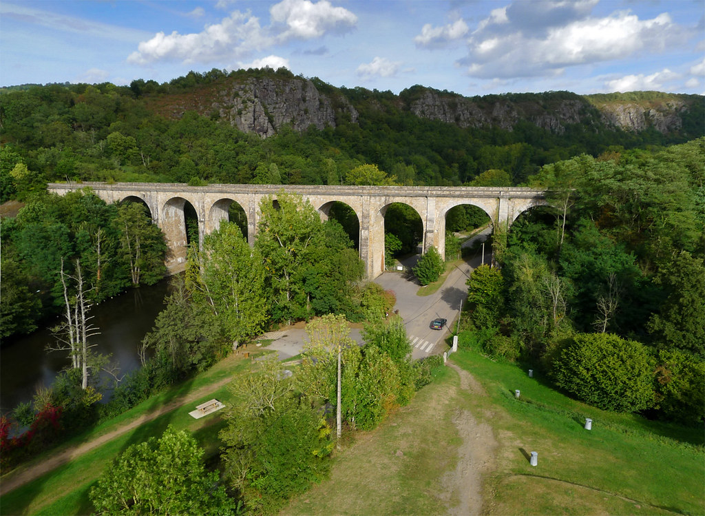
Viaduc de Clécy (Calvados-FR)

La brèche au Diable 2
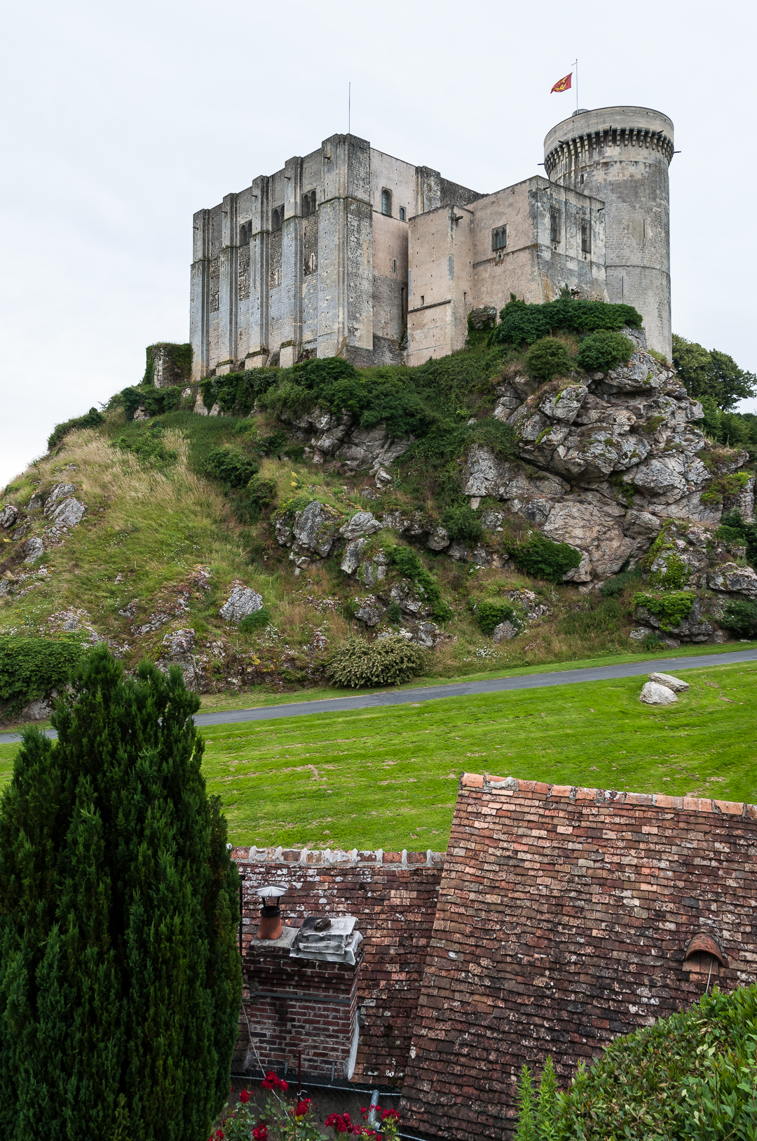
Château de Falaise
La Brèche au Diable #2
Ma cabane en Normandie
Clécy
Clécy
Topographic Map of Fontaine-le-Pin, France
Find elevation by address:

Places in Fontaine-le-Pin, France:
Places near Fontaine-le-Pin, France:
1 Rue des Orailles, Fontaine-le-Pin, France
Ussy
Cauvicourt
45 Rue du Huit Mai, Cauvicourt, France
Bretteville-sur-laize
4 Rue des Canadiens, Bretteville-sur-Laize, France
Soignolles
6 Rue des Glycines, Soignolles, France
22 Voie Communale sous les Rochers, Falaise, France
Falaise
9 Le Bourg, Épaney, France
Épaney
4 Rue Neuve, Versainville, France
Versainville
Maizières
2 Rue Major Edouard Grieg Styffe, Maizières, France
Pont-d'ouilly
16 Le Bourg, Ernes, France
Ernes
13 Rue Adolphe Lebaudy, Cagny, France
Recent Searches:
- Elevation of Dog Leg Dr, Minden, NV, USA
- Elevation of Dog Leg Dr, Minden, NV, USA
- Elevation of Kambingan Sa Pansol Atbp., Purok 7 Pansol, Candaba, Pampanga, Philippines
- Elevation of Pinewood Dr, New Bern, NC, USA
- Elevation of Mountain View, CA, USA
- Elevation of Foligno, Province of Perugia, Italy
- Elevation of Blauwestad, Netherlands
- Elevation of Bella Terra Blvd, Estero, FL, USA
- Elevation of Estates Loop, Priest River, ID, USA
- Elevation of Woodland Oak Pl, Thousand Oaks, CA, USA