Elevation of Vernon Ave, Rockville, MO, USA
Location: United States > Missouri > Bates County > Rockville Township > Rockville >
Longitude: -94.080983
Latitude: 38.0712831
Elevation: 234m / 768feet
Barometric Pressure: 99KPa
Elevation Map:
Satellite Map:
Related Photos:

Eared Grebe

Rough-legged Hawk

Tiny Mushroom
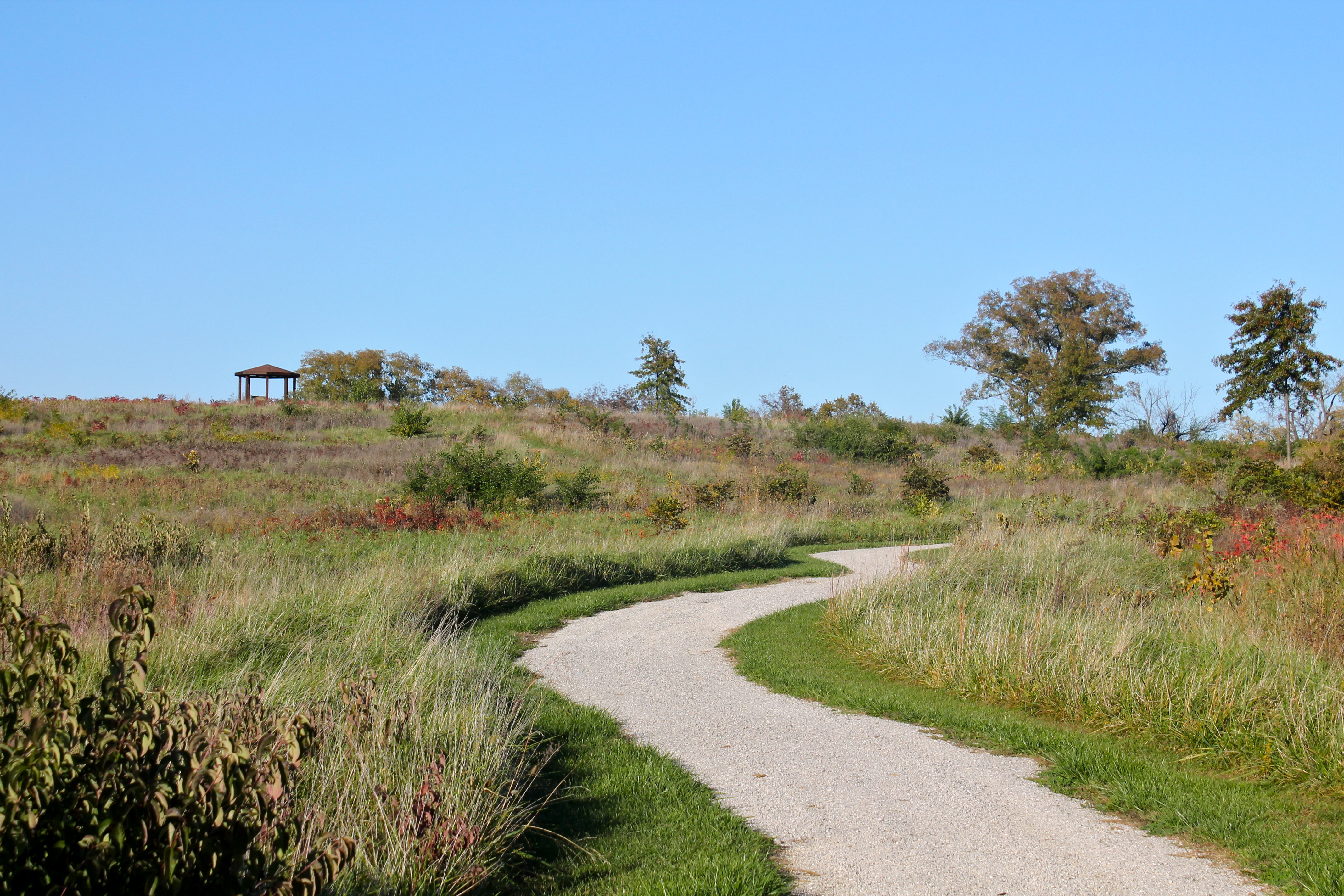
Winding Trail
The Osage Village Site
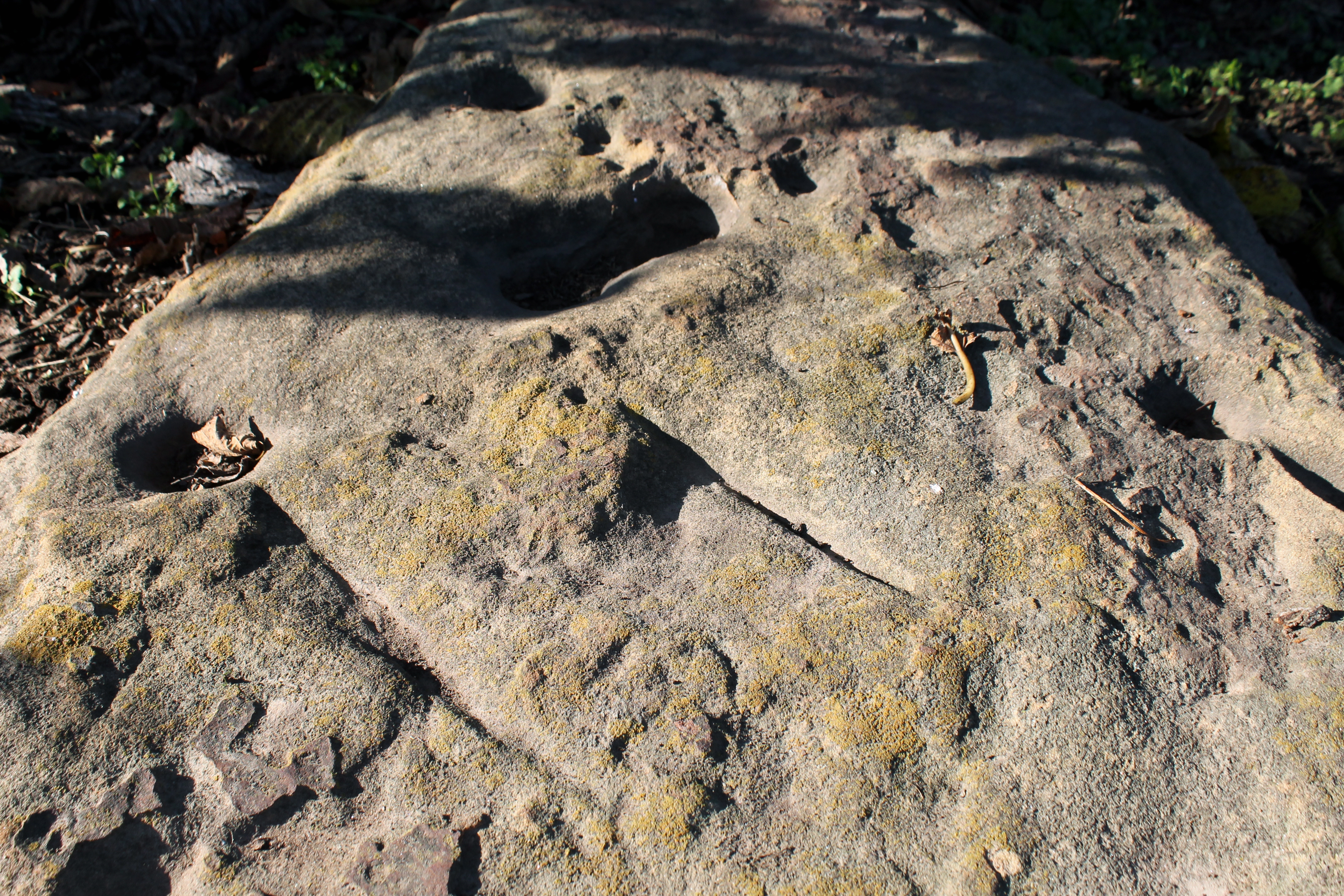
Utilized Bedrock Outcrop
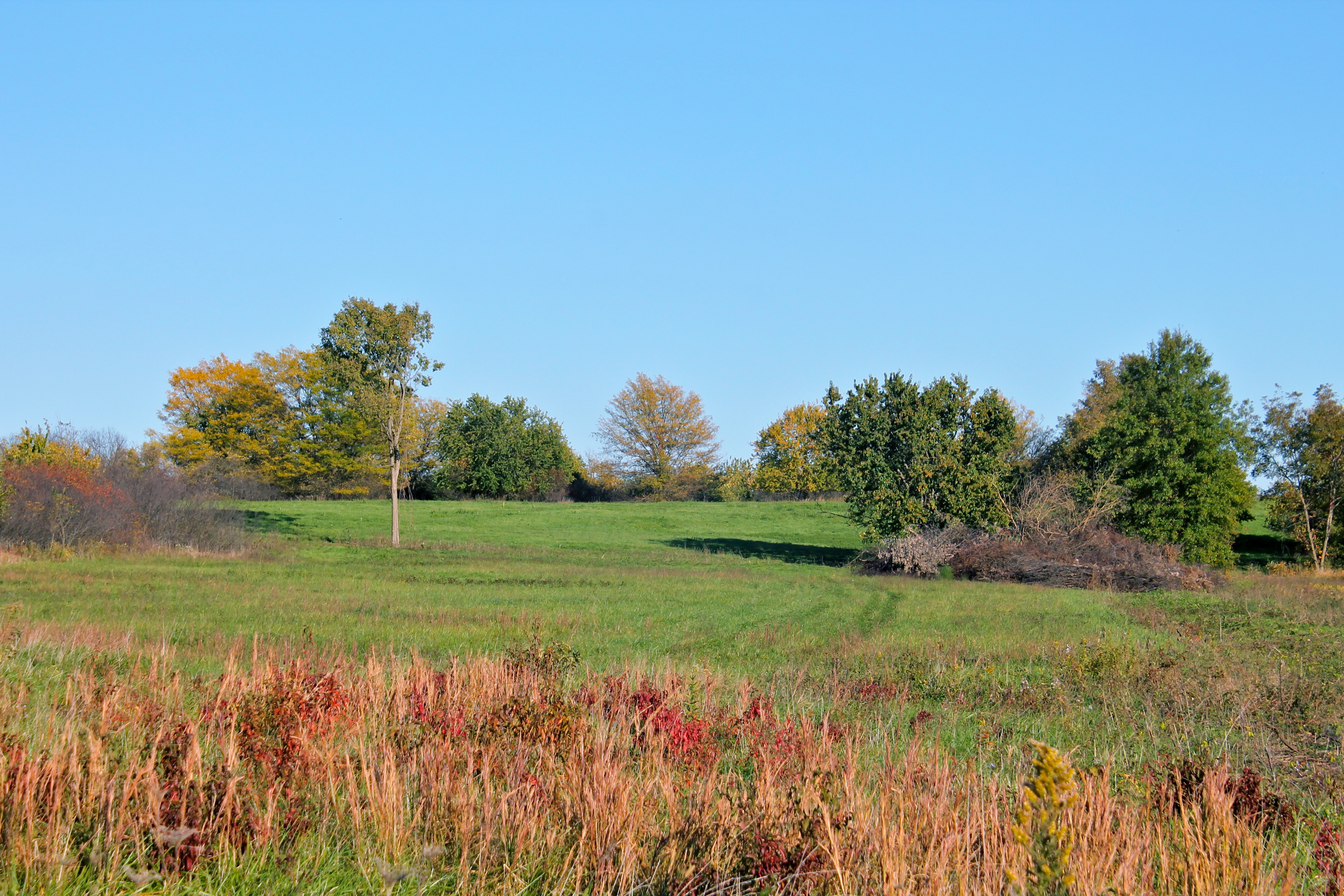
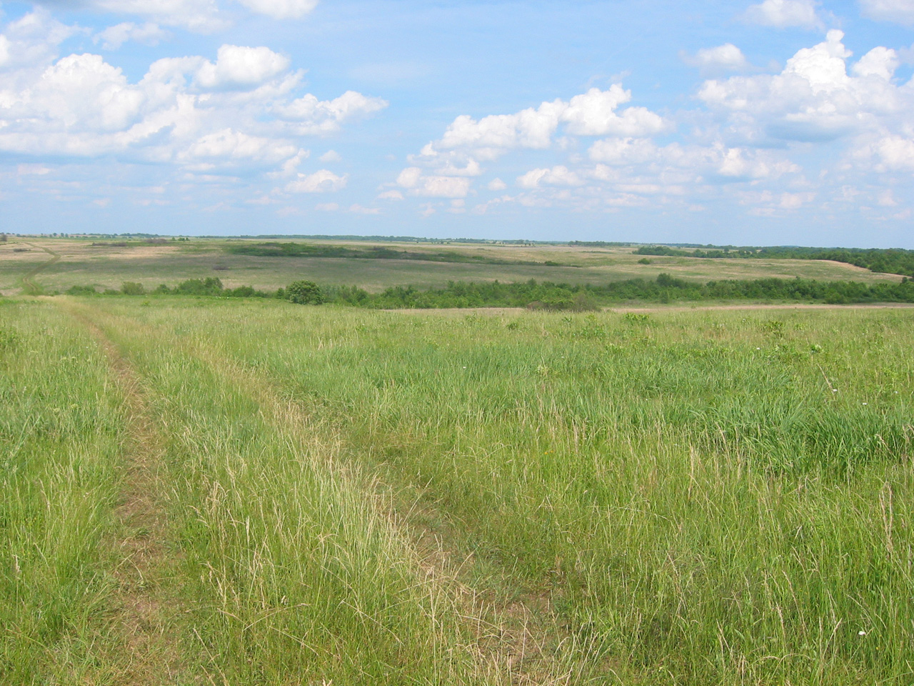
Tall Grass
Taberville Prairie
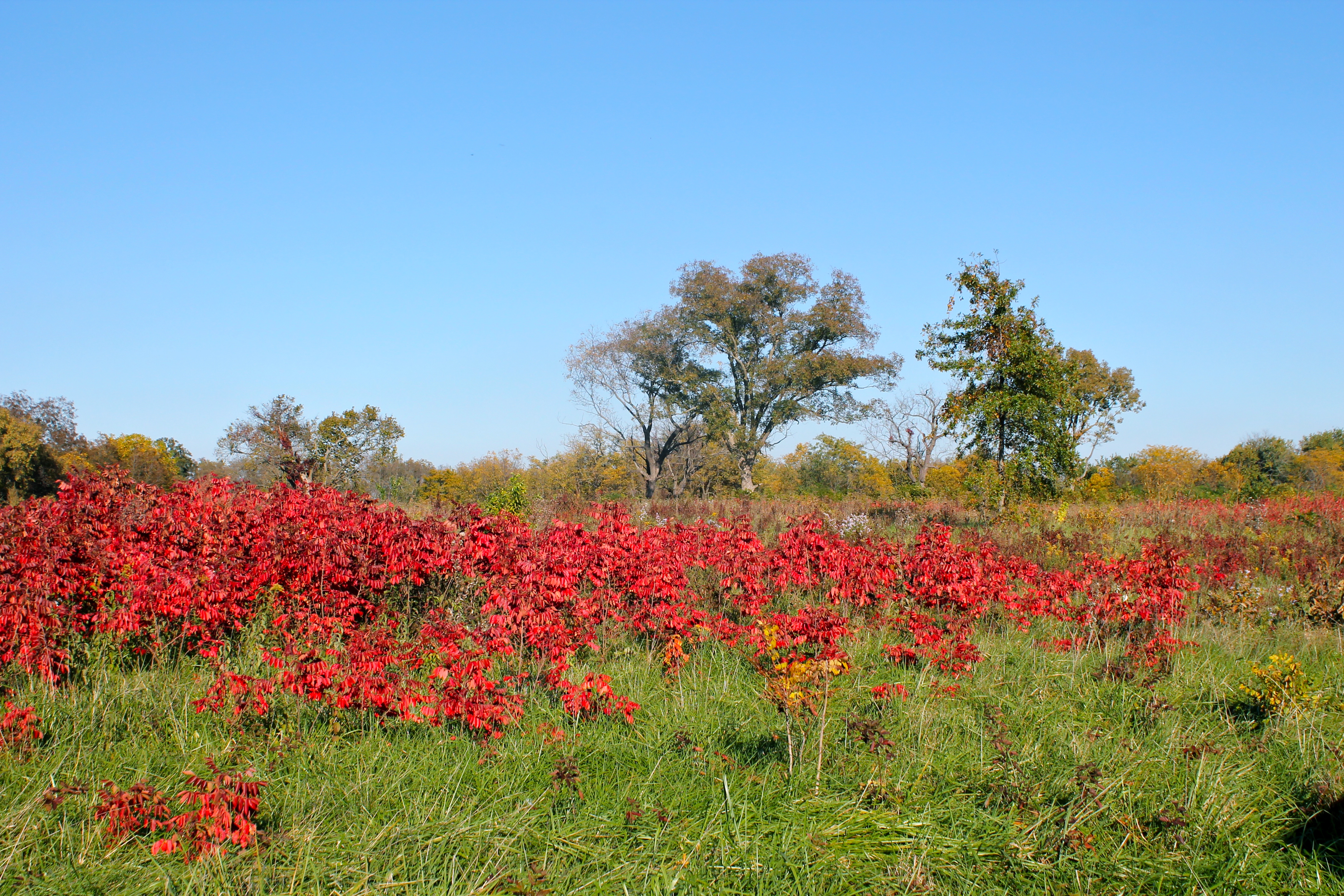
Red Sumac

Red Clover
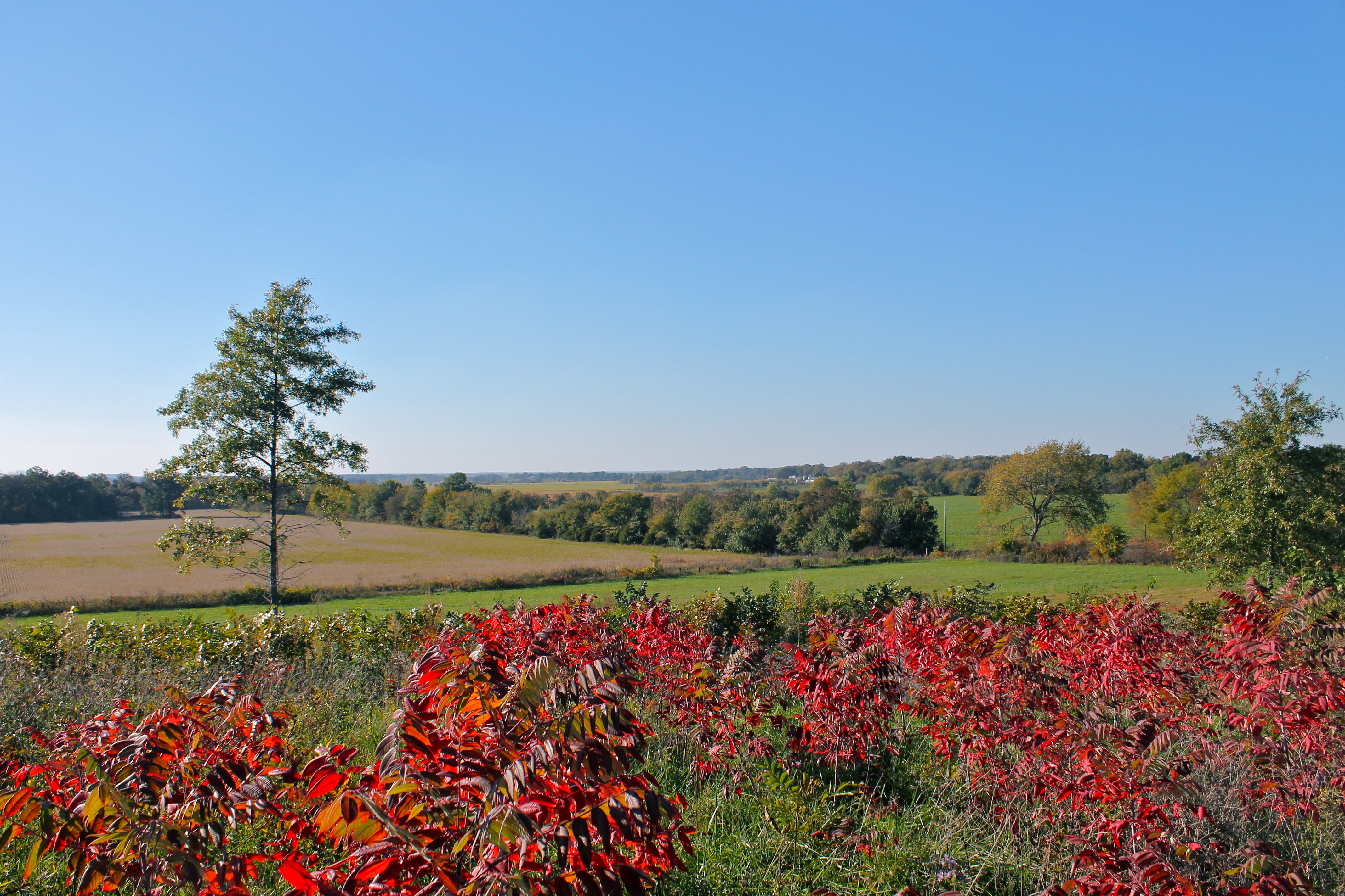
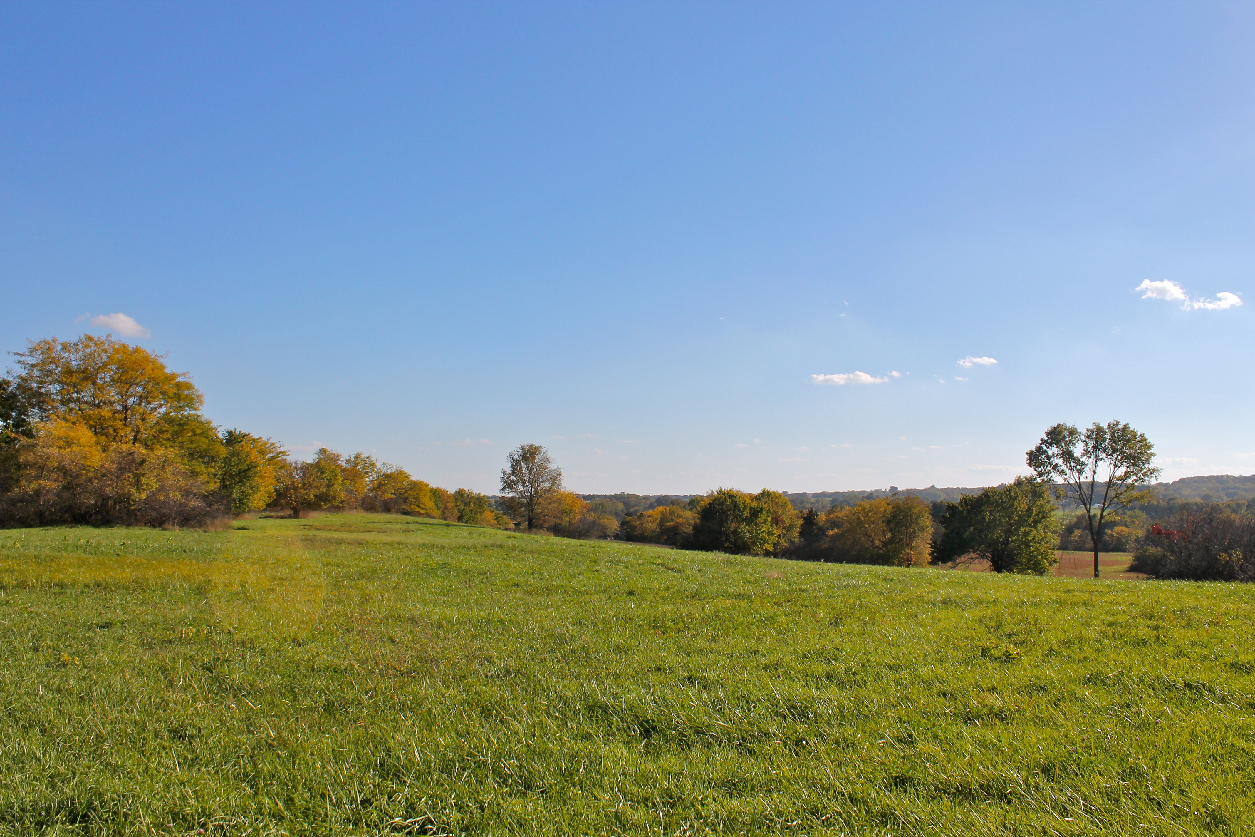
Far Afield
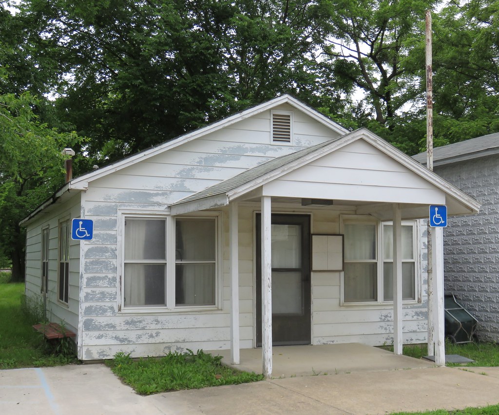
Old Harwood, Missouri City Hall
Topographic Map of Vernon Ave, Rockville, MO, USA
Find elevation by address:

Places near Vernon Ave, Rockville, MO, USA:
Rockville
Rockville Township
Schell City
378 S Hickory St
St. Clair County
Spruce Township
Roscoe
Pence Ave, Osceola, MO, USA
Ballard
227 Sw Hwy T
Missouri 82
Davis Township
Lowry City
Old Missouri 82, Osceola, MO, USA
Henry County
Clinton Township
White Oak Township
Osceola
MO-7, Urich, MO, USA
Main St, Urich, MO, USA
Recent Searches:
- Elevation of Corso Fratelli Cairoli, 35, Macerata MC, Italy
- Elevation of Tallevast Rd, Sarasota, FL, USA
- Elevation of 4th St E, Sonoma, CA, USA
- Elevation of Black Hollow Rd, Pennsdale, PA, USA
- Elevation of Oakland Ave, Williamsport, PA, USA
- Elevation of Pedrógão Grande, Portugal
- Elevation of Klee Dr, Martinsburg, WV, USA
- Elevation of Via Roma, Pieranica CR, Italy
- Elevation of Tavkvetili Mountain, Georgia
- Elevation of Hartfords Bluff Cir, Mt Pleasant, SC, USA