Elevation of S Hickory St, Schell City, MO, USA
Location: United States > Missouri > Schell City >
Longitude: -94.120806
Latitude: 38.0164424
Elevation: 235m / 771feet
Barometric Pressure: 99KPa
Elevation Map:
Satellite Map:
Related Photos:
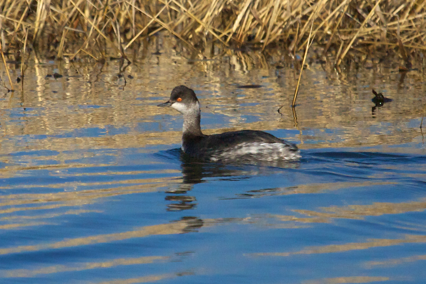
Eared Grebe

Rough-legged Hawk
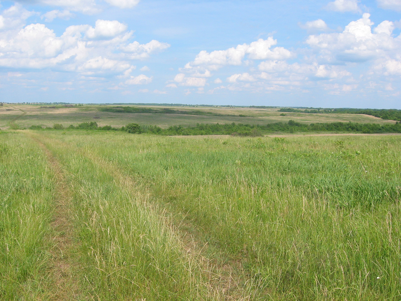
Taberville Prairie

Tiny Mushroom
The Osage Village Site
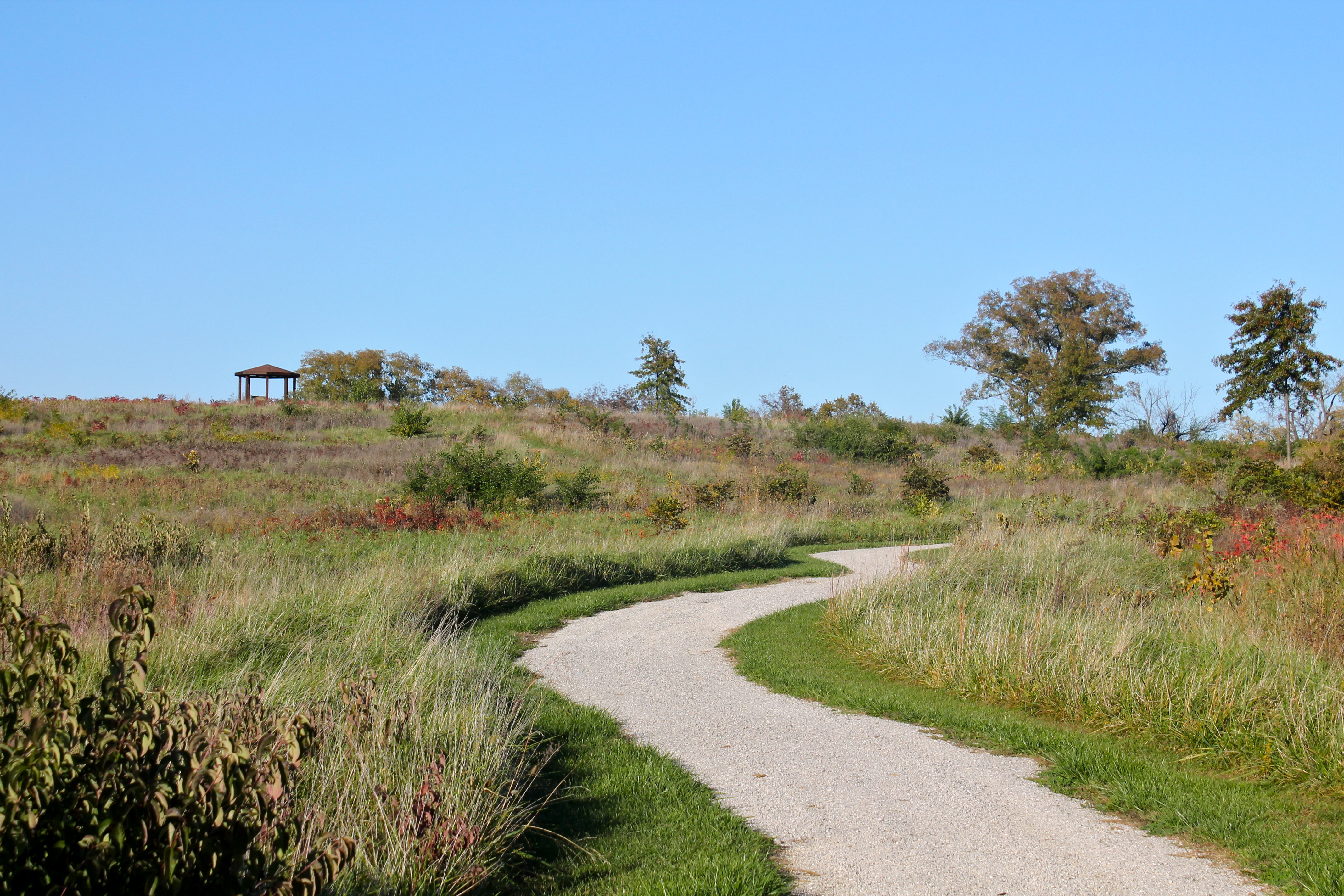
Winding Trail
Tall Grass
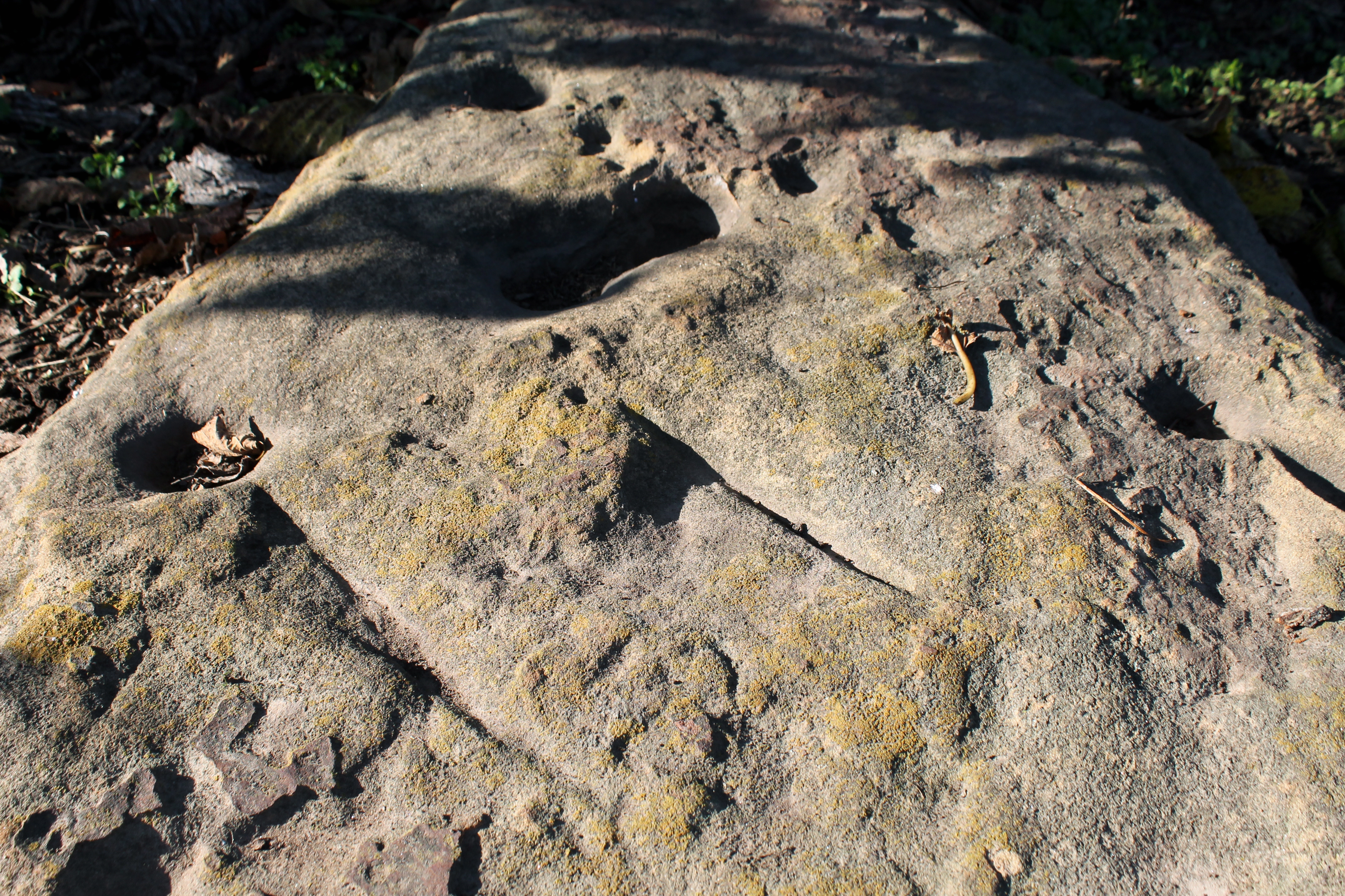
Utilized Bedrock Outcrop
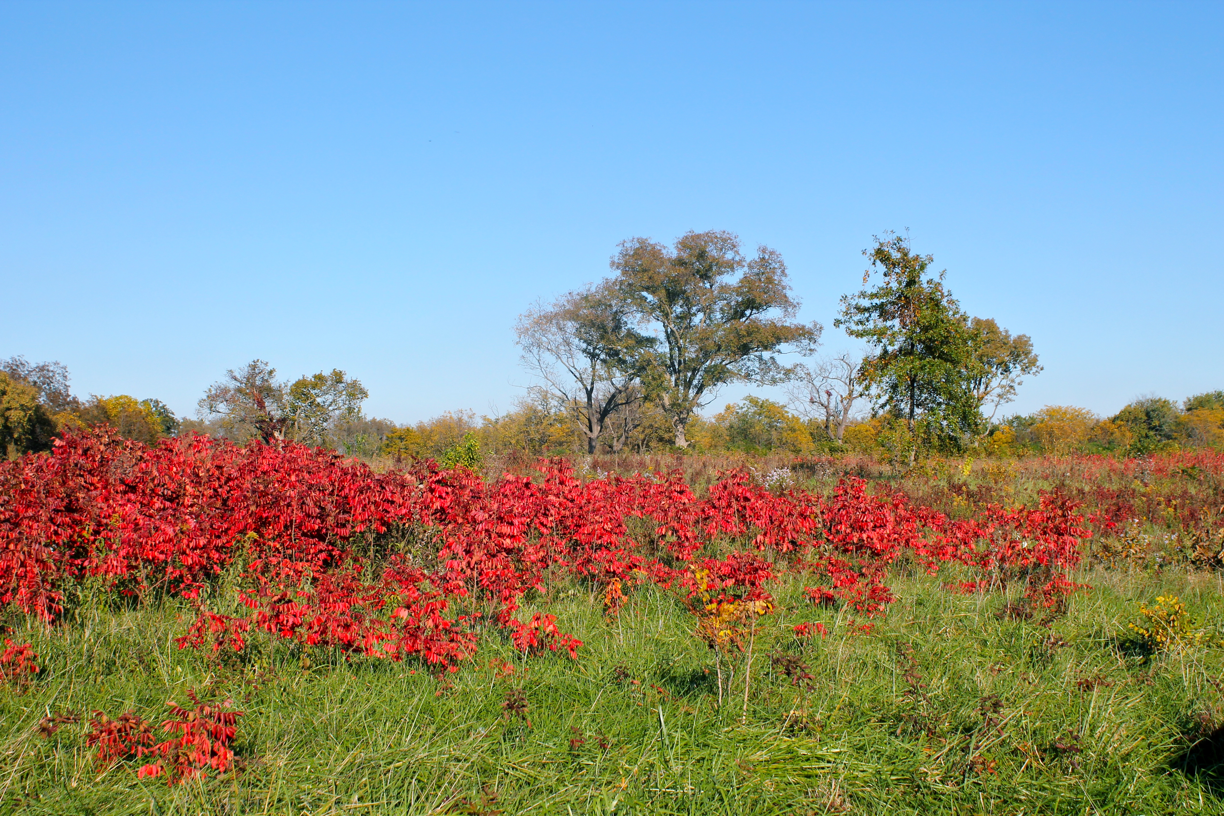
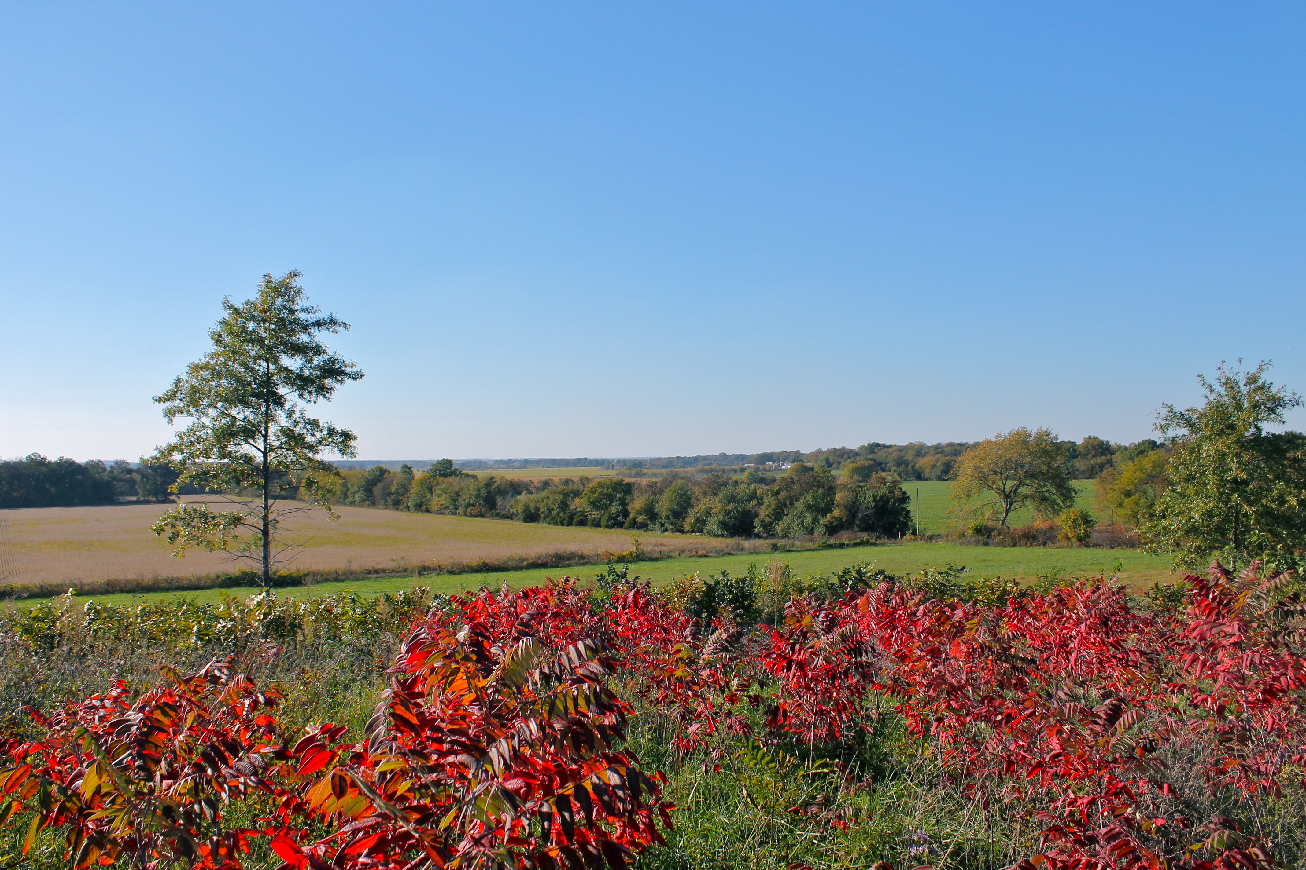
Red Sumac
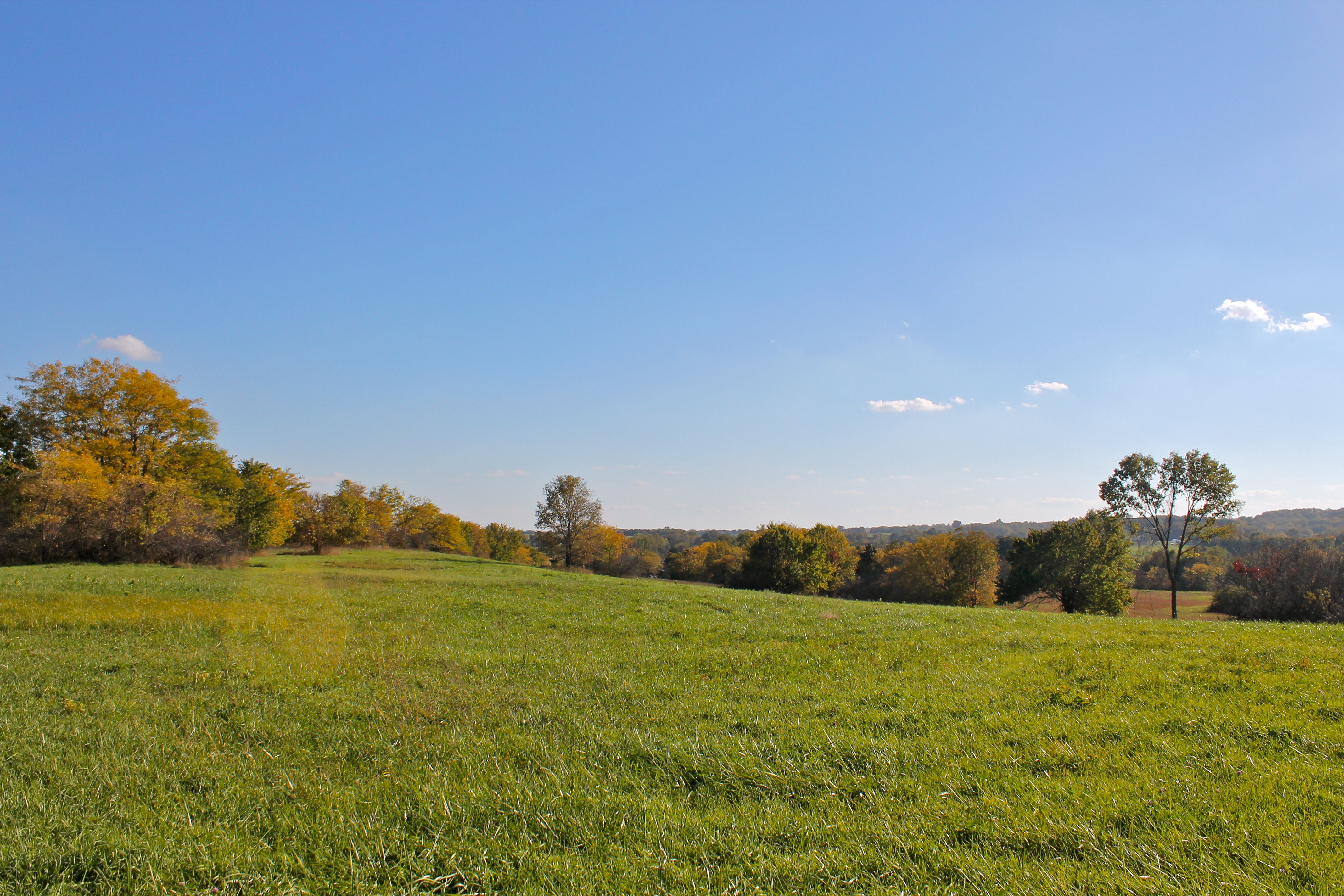
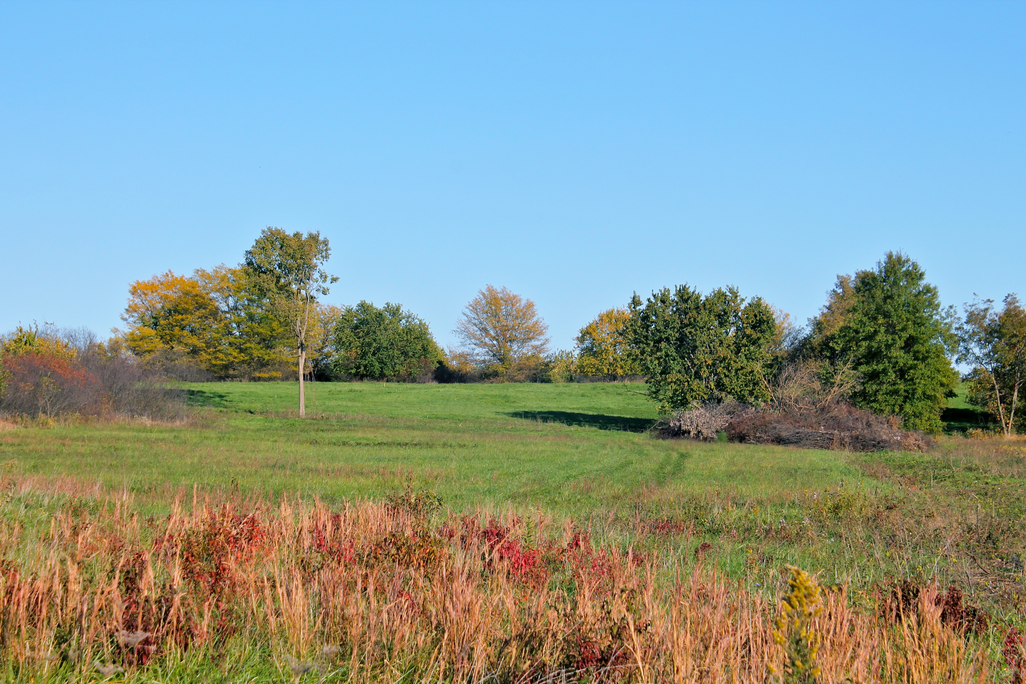
Far Afield

Red Clover
Old Harwood, Missouri City Hall
Topographic Map of S Hickory St, Schell City, MO, USA
Find elevation by address:

Places near S Hickory St, Schell City, MO, USA:
Schell City
Rockville Township
Vernon Ave, Rockville, MO, USA
Rockville
St. Clair County
Roscoe
Pence Ave, Osceola, MO, USA
Spruce Township
Ballard
Missouri 82
227 Sw Hwy T
Old Missouri 82, Osceola, MO, USA
Lowry City
Davis Township
Osceola
White Oak Township
Clinton Township
Henry County
Osceola Township
6005 Mo-82
Recent Searches:
- Elevation of Woodland Oak Pl, Thousand Oaks, CA, USA
- Elevation of Brownsdale Rd, Renfrew, PA, USA
- Elevation of Corcoran Ln, Suffolk, VA, USA
- Elevation of Mamala II, Sariaya, Quezon, Philippines
- Elevation of Sarangdanda, Nepal
- Elevation of 7 Waterfall Way, Tomball, TX, USA
- Elevation of SW 57th Ave, Portland, OR, USA
- Elevation of Crocker Dr, Vacaville, CA, USA
- Elevation of Pu Ngaol Community Meeting Hall, HWHM+3X7, Krong Saen Monourom, Cambodia
- Elevation of Royal Ontario Museum, Queens Park, Toronto, ON M5S 2C6, Canada