Elevation of Spruce Township, MO, USA
Location: United States > Missouri > Bates County >
Longitude: -94.130906
Latitude: 38.3493404
Elevation: 258m / 846feet
Barometric Pressure: 98KPa
Elevation Map:
Satellite Map:
Related Photos:

Botaurus lentiginosus, American Bittern
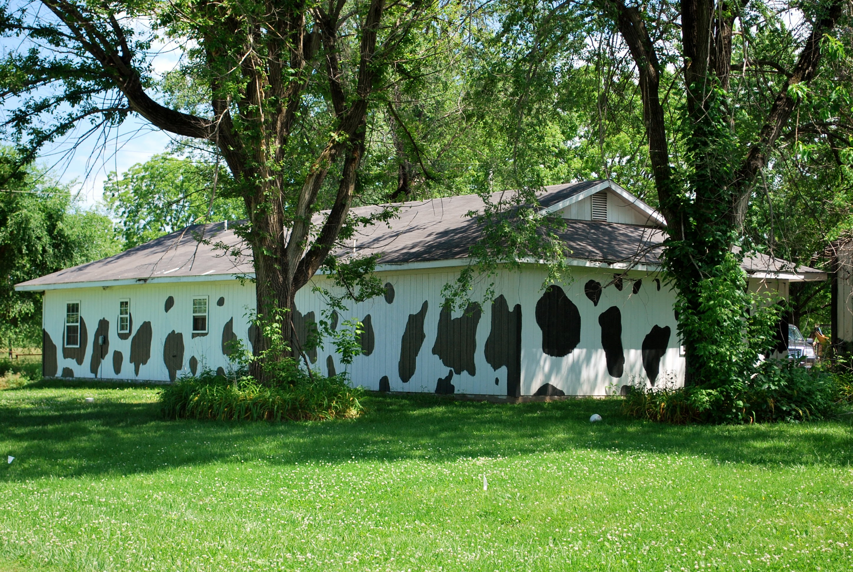
Cow house_Germantown
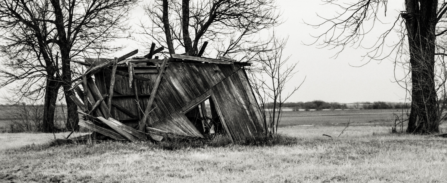
Bare Wood
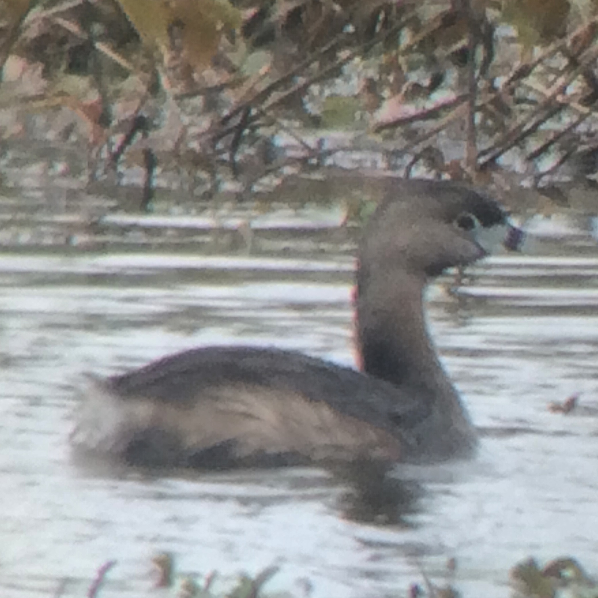
Pied-billed Grebe (Podilymbus podiceps)
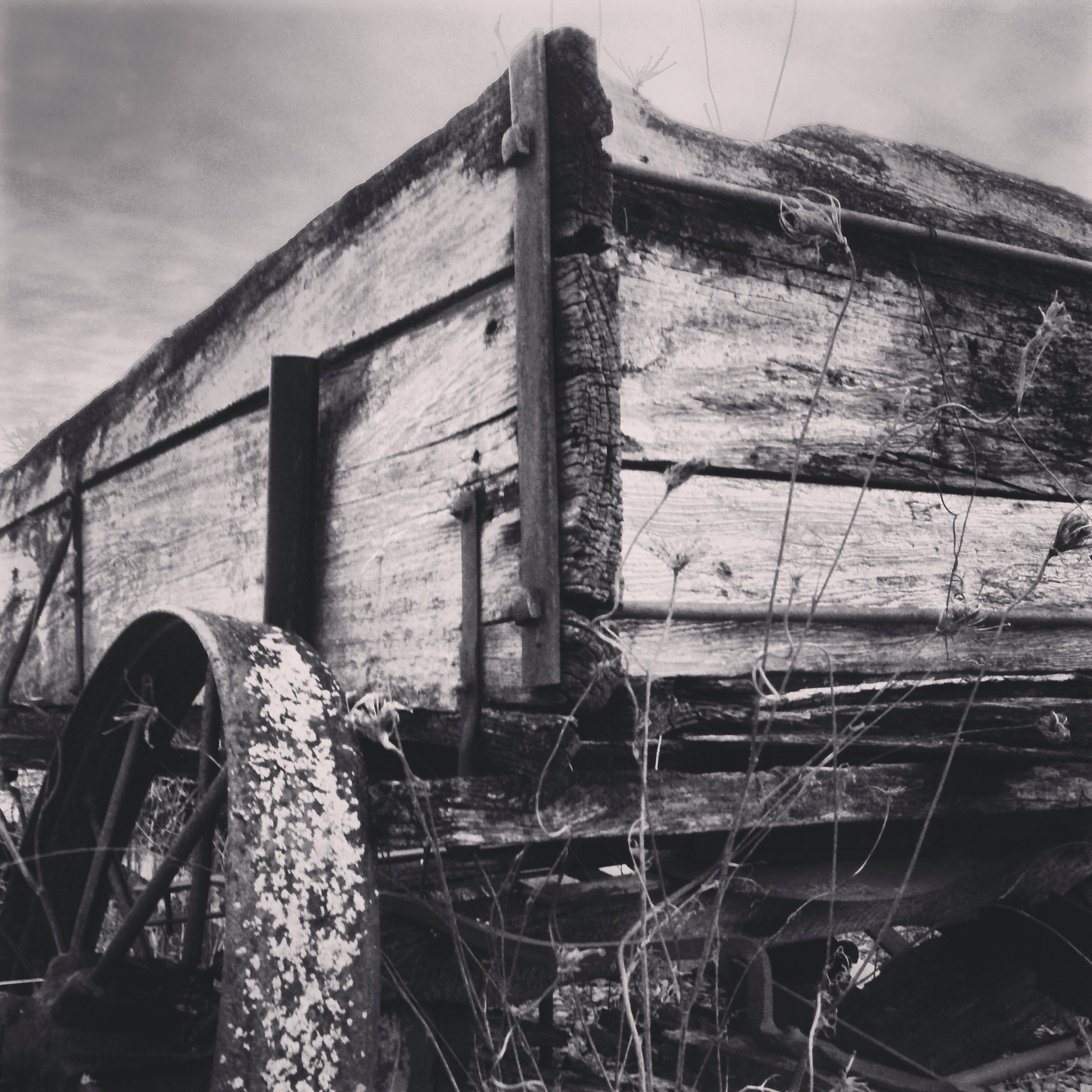
This wagon's end days
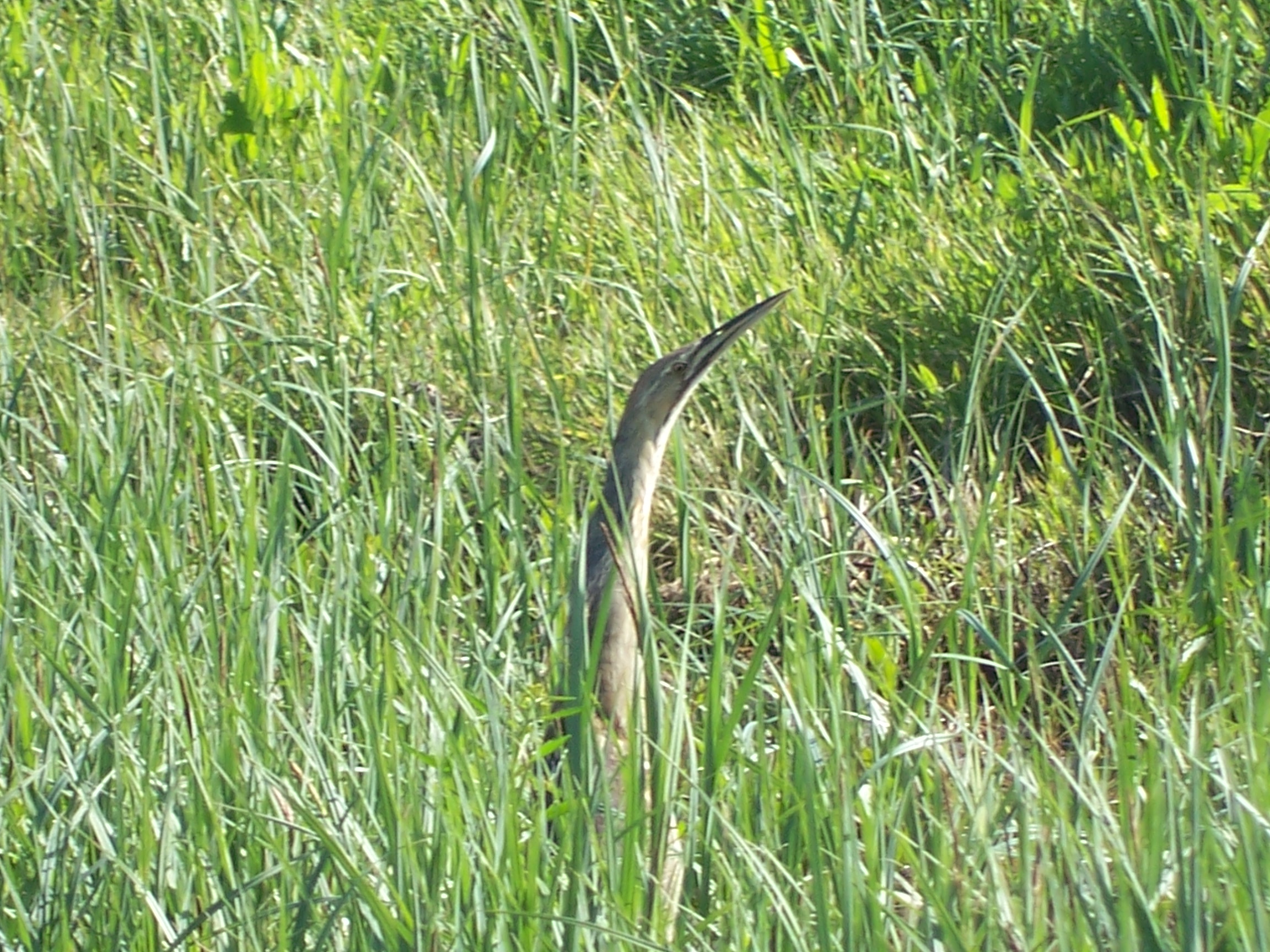
Botaurus lentiginosus, American Bittern
Can't Go Straight
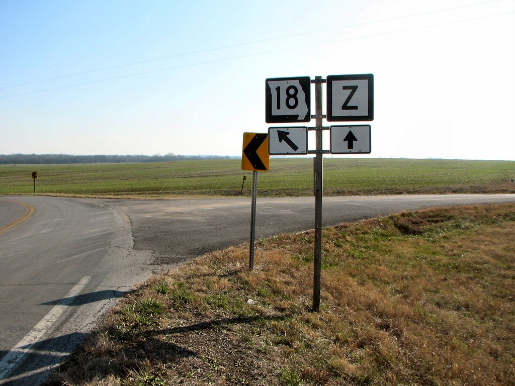
German Town, Missouri
German Town, Missouri
Topographic Map of Spruce Township, MO, USA
Find elevation by address:

Places in Spruce Township, MO, USA:
Places near Spruce Township, MO, USA:
Ballard
White Oak Township
34500 S Dayton Ave
Main St, Urich, MO, USA
Urich
Dayton Township
MO-7, Urich, MO, USA
Garden City
Davis Township
227 Sw Hwy T
Vernon Ave, Rockville, MO, USA
Rockville
Rockville Township
Henry County
Clinton Township
Schell City
SW st Rd, Holden, MO, USA
378 S Hickory St
Clinton
S Washington St, Clinton, MO, USA
Recent Searches:
- Elevation of Woodland Oak Pl, Thousand Oaks, CA, USA
- Elevation of Brownsdale Rd, Renfrew, PA, USA
- Elevation of Corcoran Ln, Suffolk, VA, USA
- Elevation of Mamala II, Sariaya, Quezon, Philippines
- Elevation of Sarangdanda, Nepal
- Elevation of 7 Waterfall Way, Tomball, TX, USA
- Elevation of SW 57th Ave, Portland, OR, USA
- Elevation of Crocker Dr, Vacaville, CA, USA
- Elevation of Pu Ngaol Community Meeting Hall, HWHM+3X7, Krong Saen Monourom, Cambodia
- Elevation of Royal Ontario Museum, Queens Park, Toronto, ON M5S 2C6, Canada