Elevation of Vang, ND, USA
Location: United States > North Dakota > Cavalier County > Hope >
Longitude: -98.124825
Latitude: 48.9058303
Elevation: 467m / 1532feet
Barometric Pressure: 96KPa
Elevation Map:
Satellite Map:
Related Photos:

Frog
Walhalla 2nd Crest

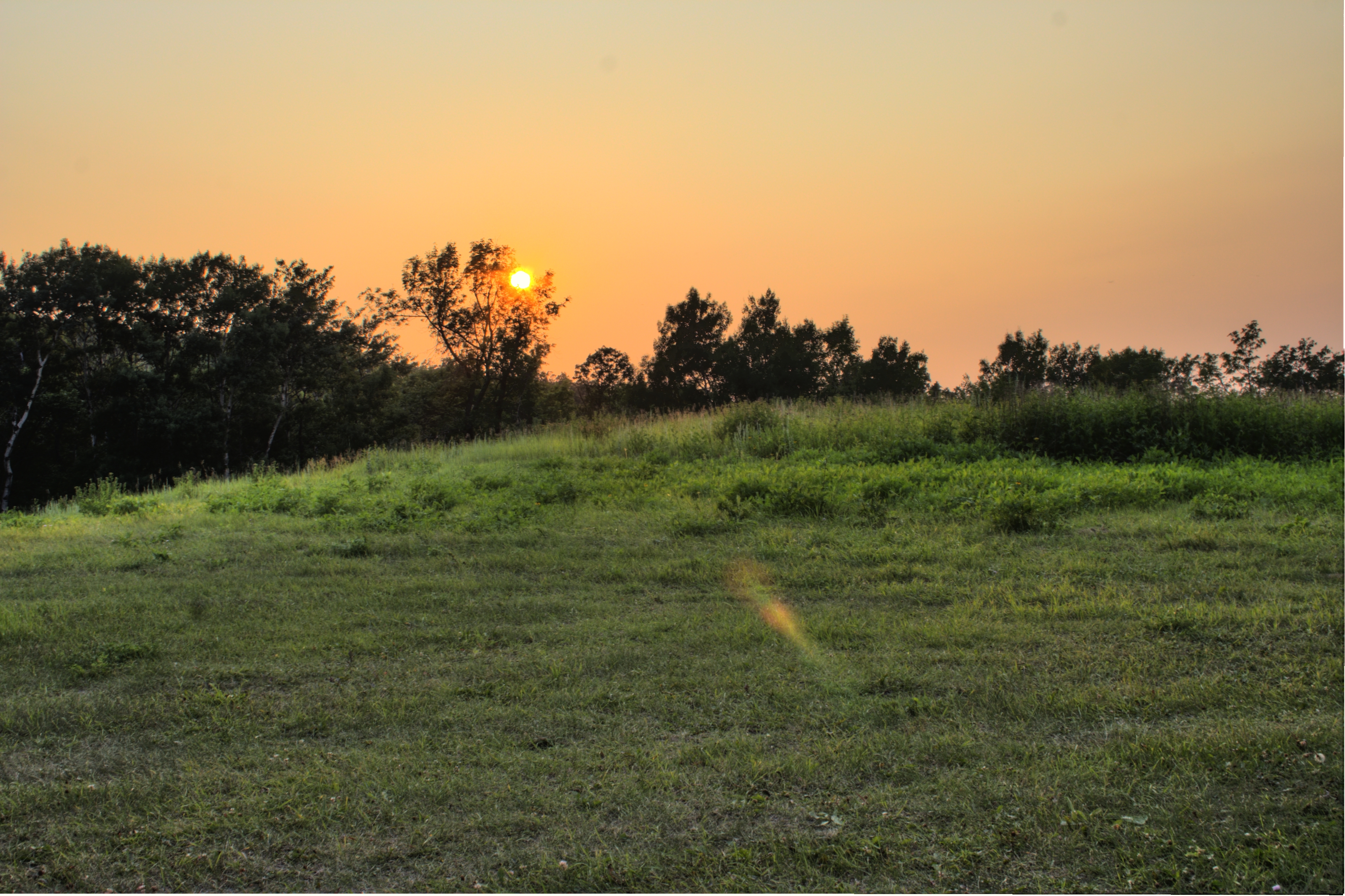
sunset 9.9.2012
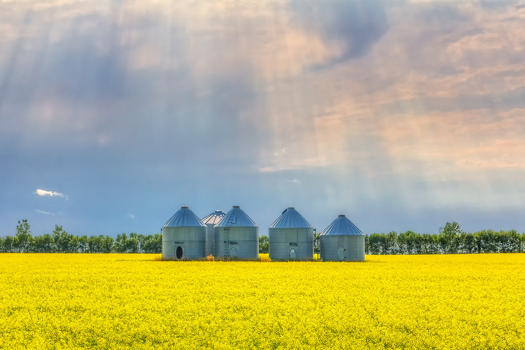
Holy Bins

Snow Remains

Big Pembina Church

Spring Creek
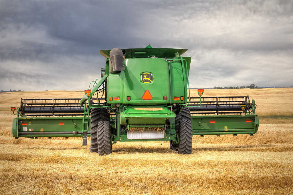
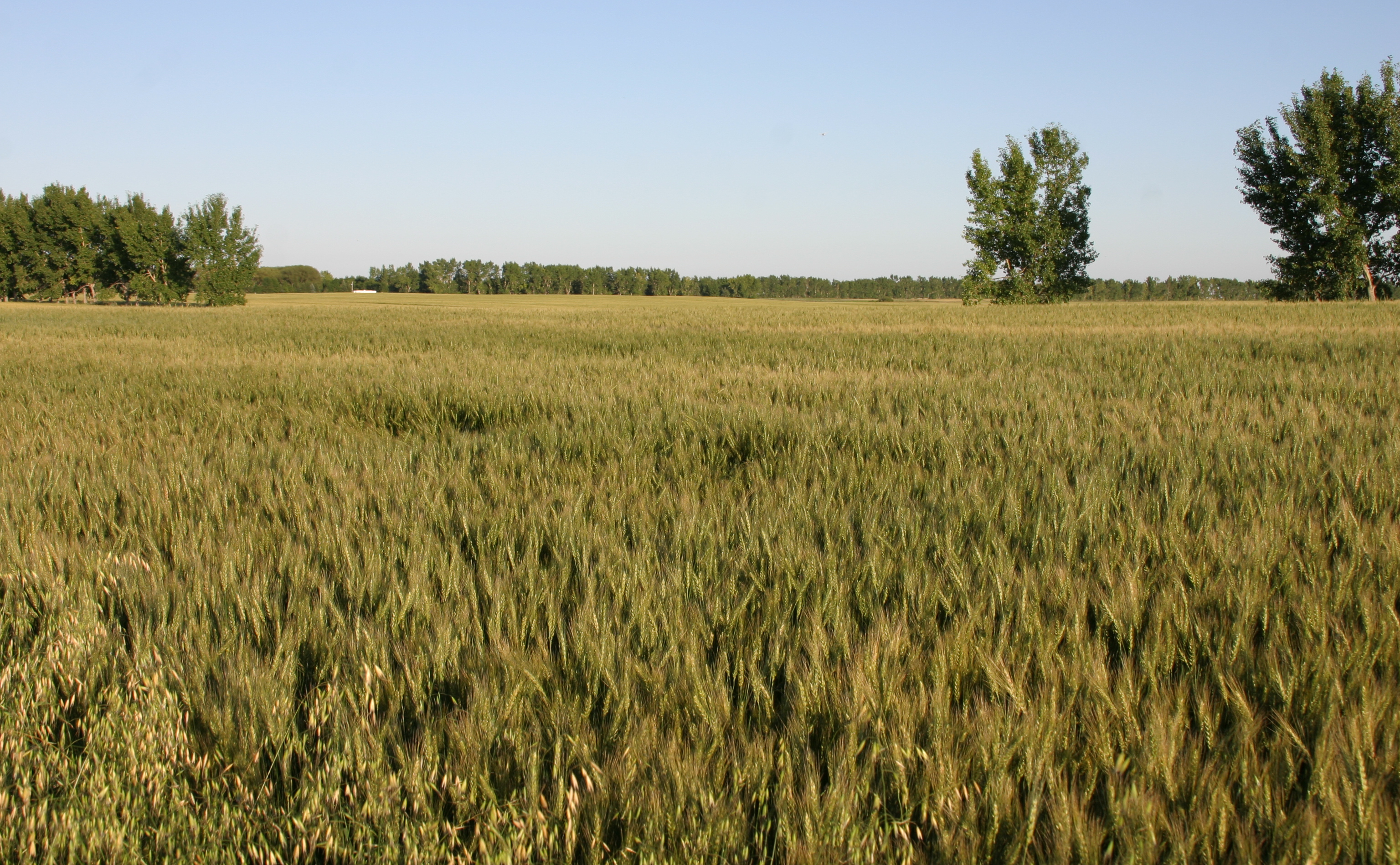
Harvest Time
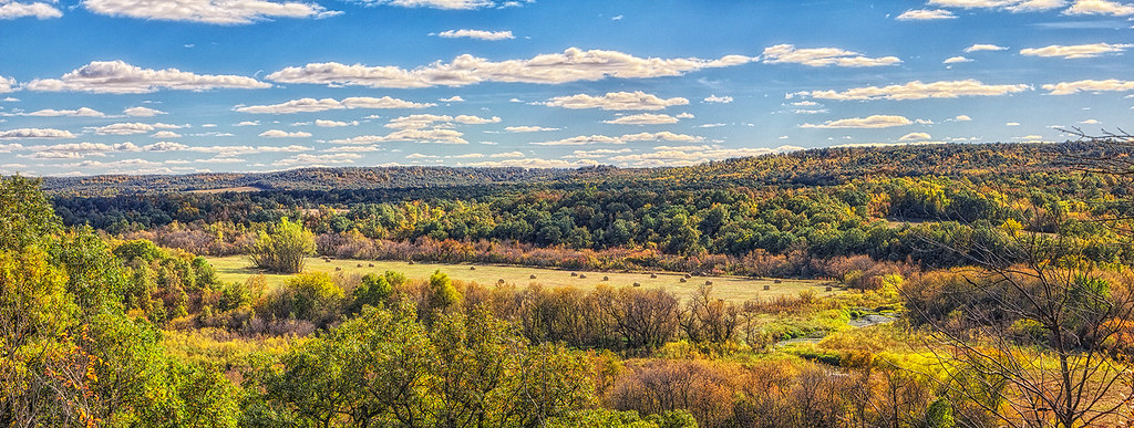
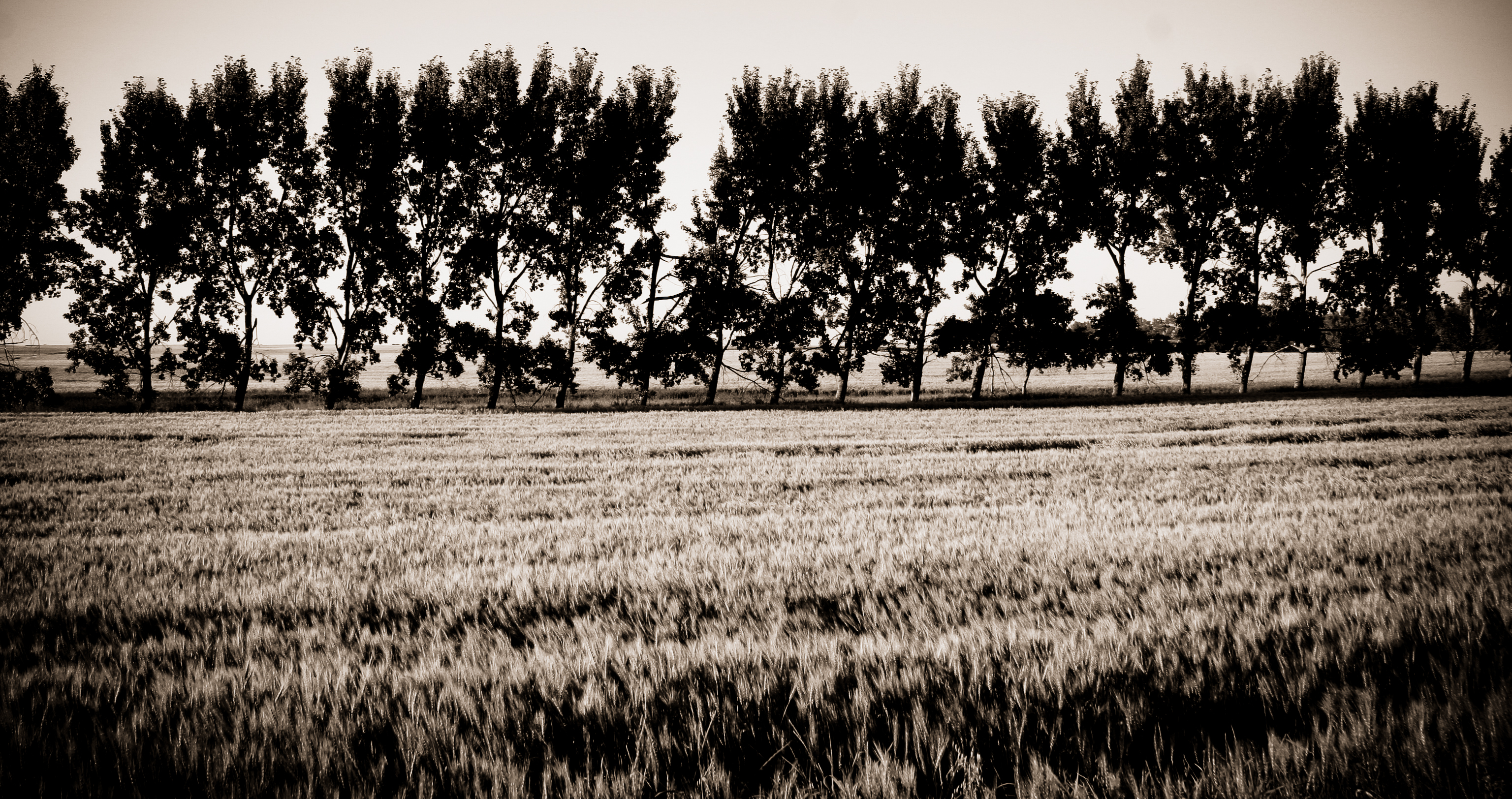
Fall 2012

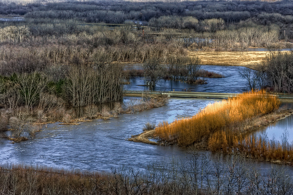
Snow Covered River

Cole's Crossing

Spring?

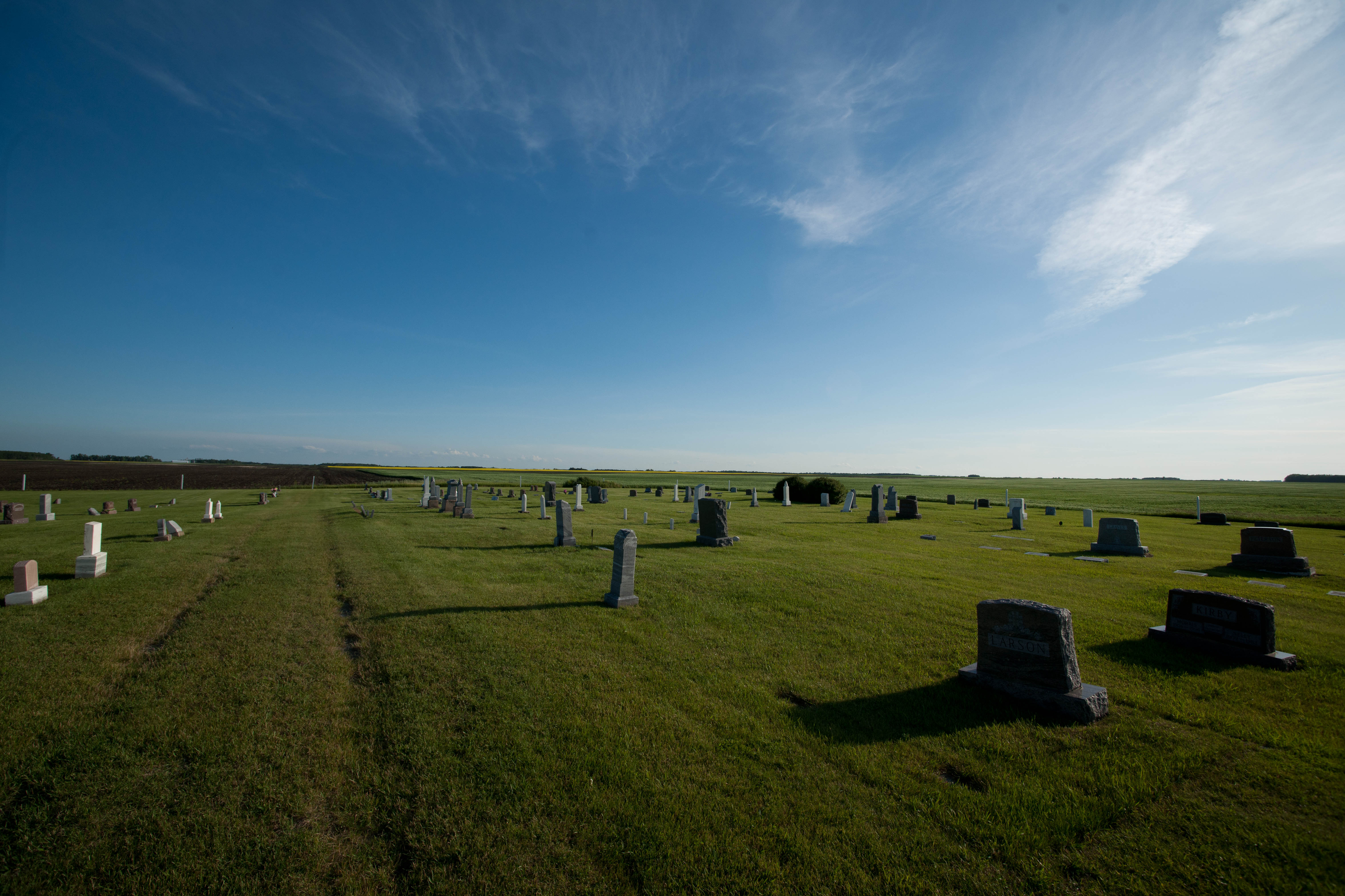
Vang, North Dakota
Vang, North Dakota
20080803-US-NDK_DaveLisaWedding-027

Fall 2012
20080803-US-NDK_DaveLisaWedding-023

20080803-US-NDK_DaveLisaWedding-043
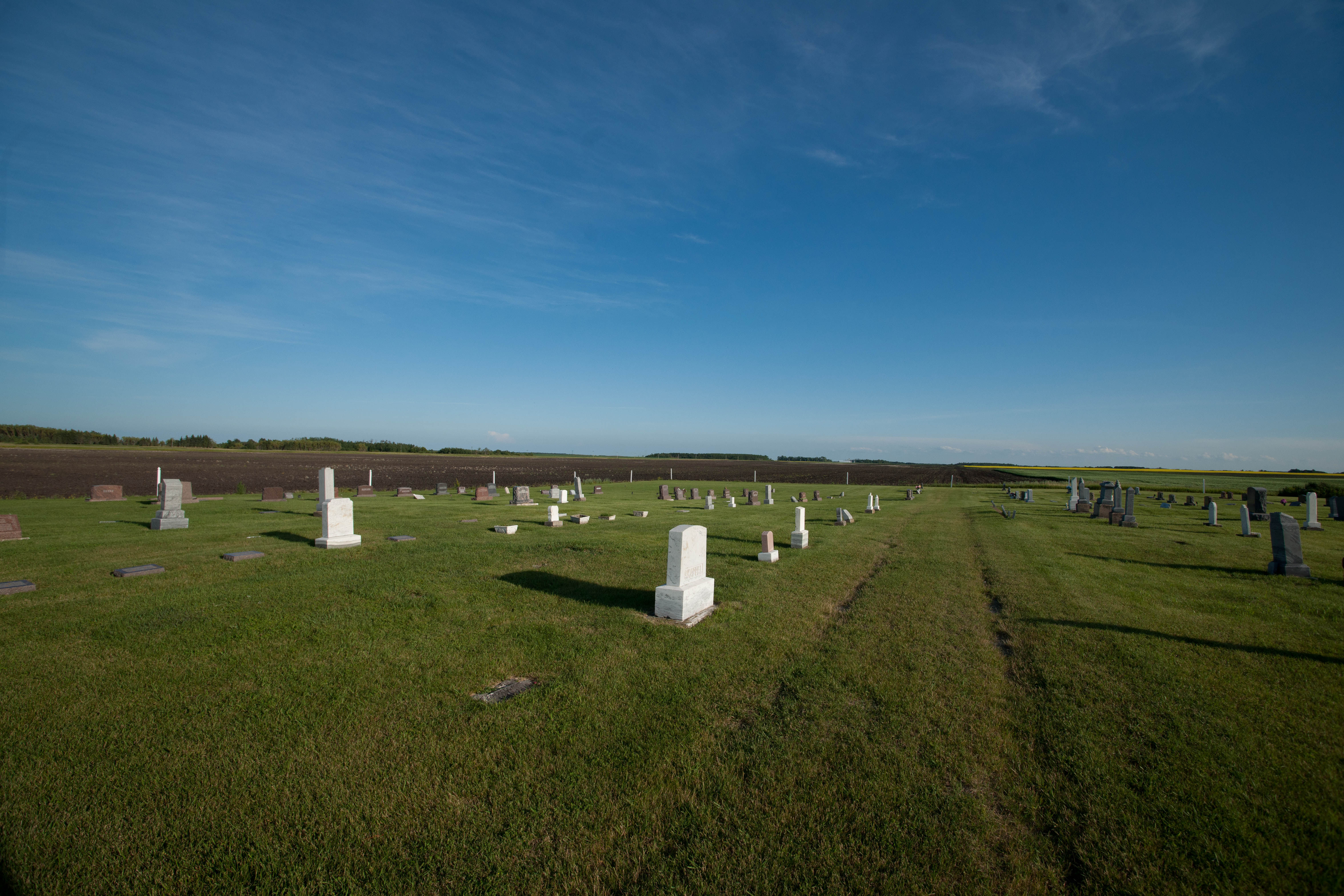
Vang, North Dakota
Sunset in the Pembina Gorge
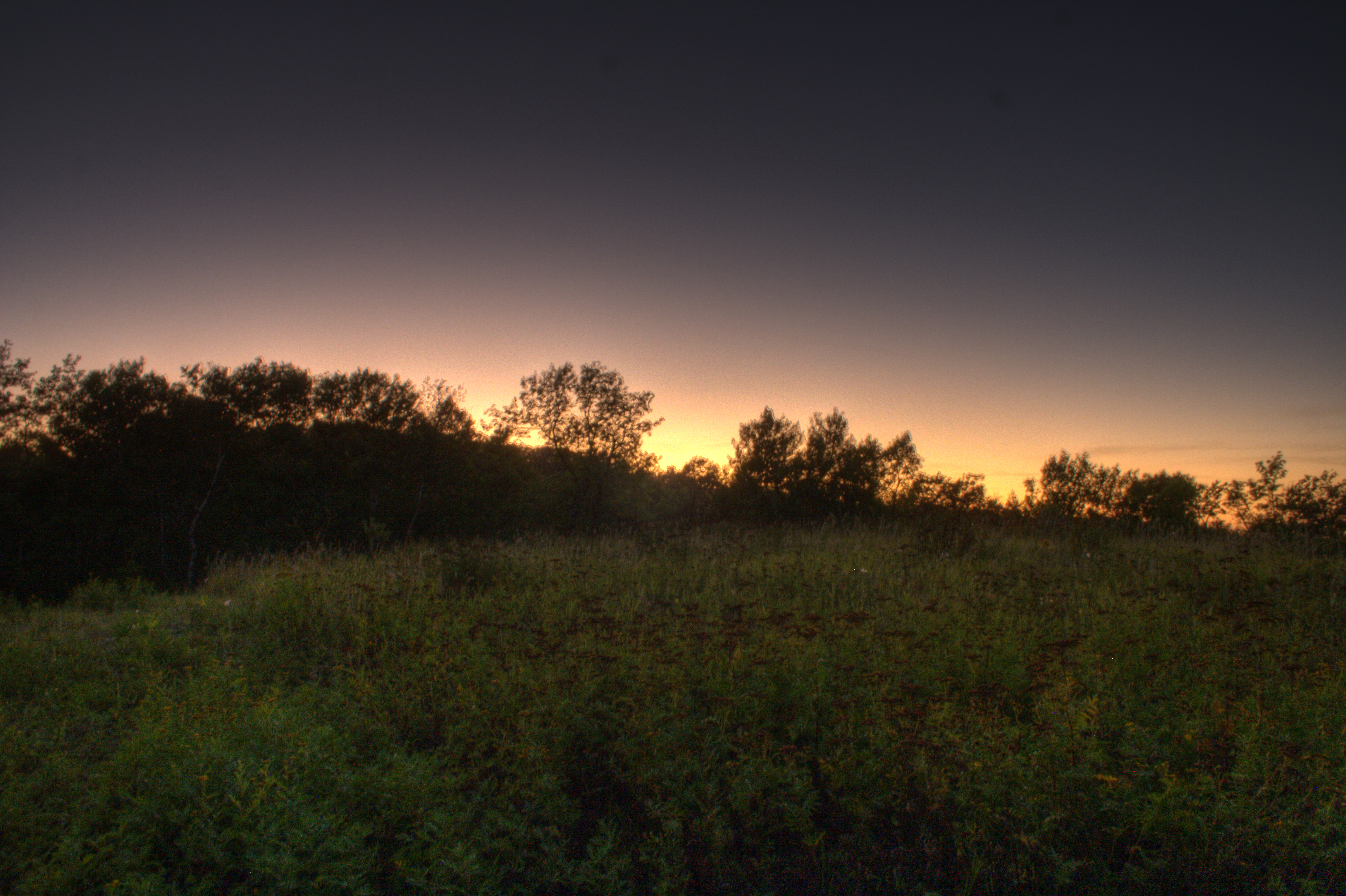
HDR sunset in the Pembina Gorge
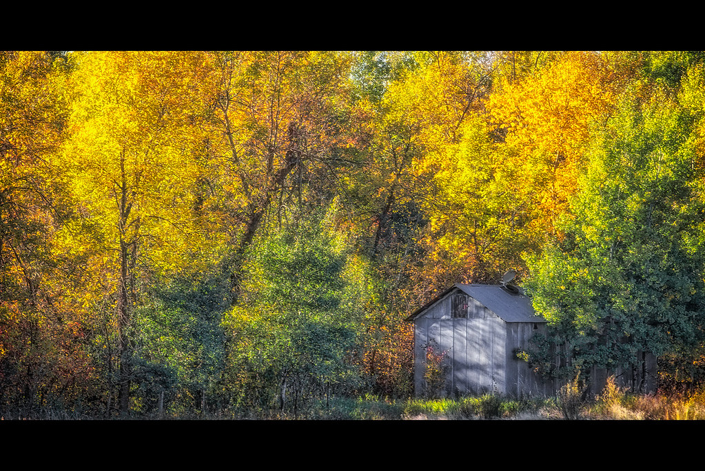
Fall Grainery
Topographic Map of Vang, ND, USA
Find elevation by address:

Places near Vang, ND, USA:
Hope
Stanley
Langdon, ND, USA
Langdon
Morden
Winkler
Darlingford
Stanley St, Darlingford, MB R0G 0L0, Canada
Main St, Nekoma, ND, USA
Nekoma
Cavalier
Edmore, ND, USA
Gretna
1st St, Neche, ND, USA
Neche
Altona
Dale Ave, Hoople, ND, USA
1030 Dale Ave
Park River
Rosenfeld
Recent Searches:
- Elevation of Redondo Ave, Long Beach, CA, USA
- Elevation of Sadovaya Ulitsa, 20, Rezh, Sverdlovskaya oblast', Russia
- Elevation of Ulitsa Kalinina, 79, Rezh, Sverdlovskaya oblast', Russia
- Elevation of 72-31 Metropolitan Ave, Middle Village, NY, USA
- Elevation of 76 Metropolitan Ave, Brooklyn, NY, USA
- Elevation of Alisal Rd, Solvang, CA, USA
- Elevation of Vista Blvd, Sparks, NV, USA
- Elevation of 15th Ave SE, St. Petersburg, FL, USA
- Elevation of Beall Road, Beall Rd, Florida, USA
- Elevation of Leguwa, Nepal