Elevation of Park River, ND, USA
Location: United States > North Dakota > Walsh County >
Longitude: -97.741199
Latitude: 48.3986043
Elevation: 303m / 994feet
Barometric Pressure: 98KPa
Elevation Map:
Satellite Map:
Related Photos:

Park Center Lutheran Church

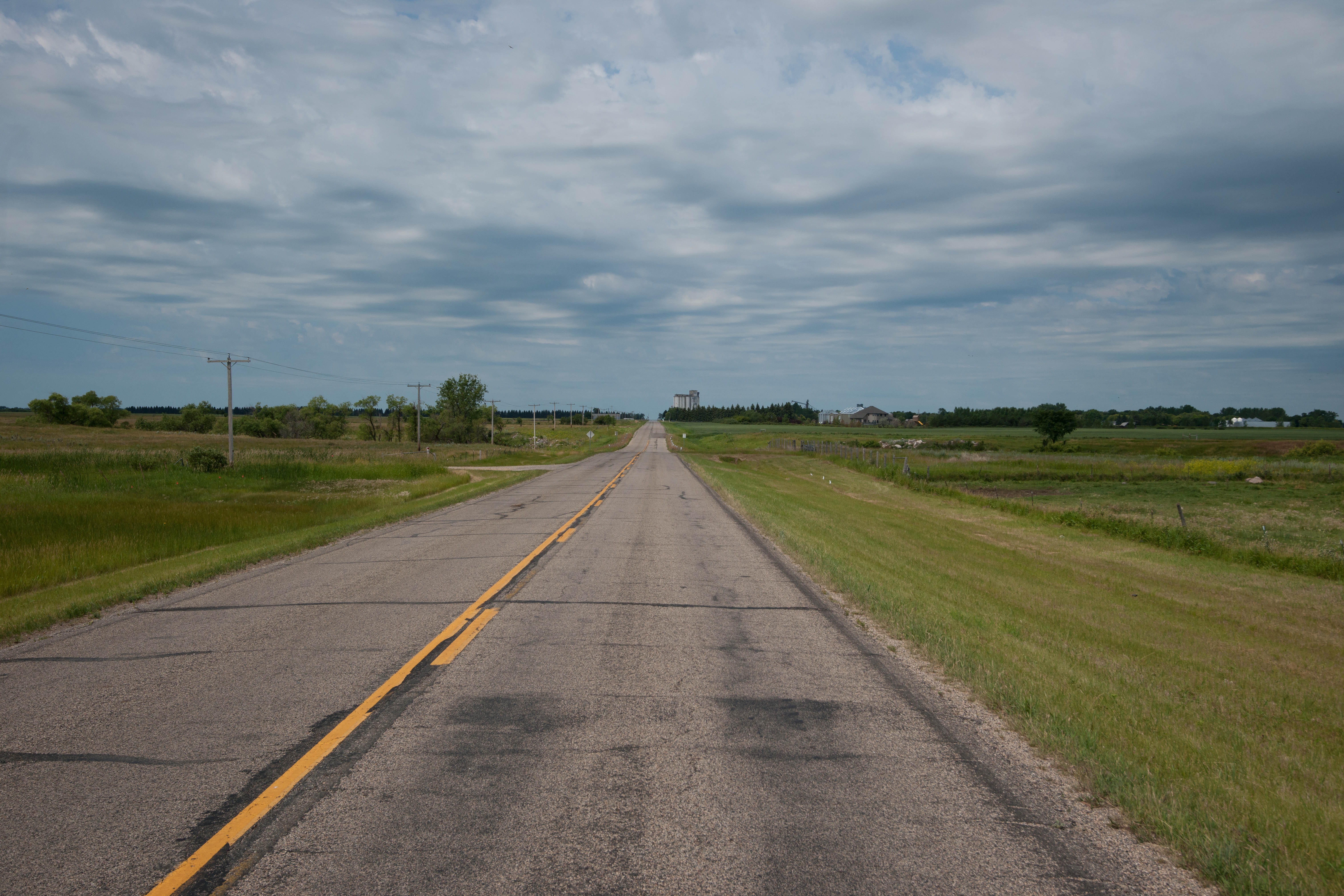
Park River
Lankin, North Dakota
Kerry, North Dakota

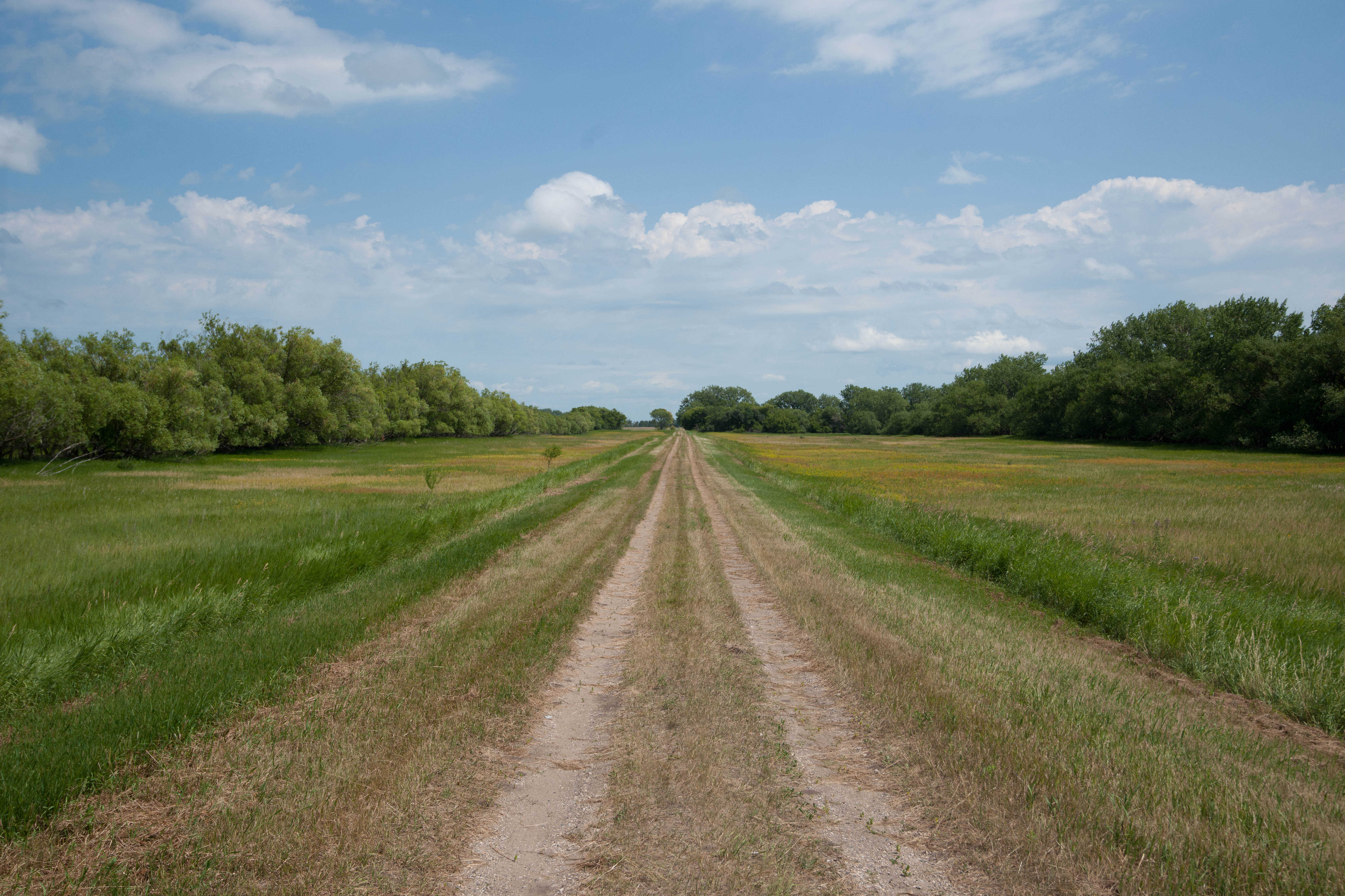
Rows in the field

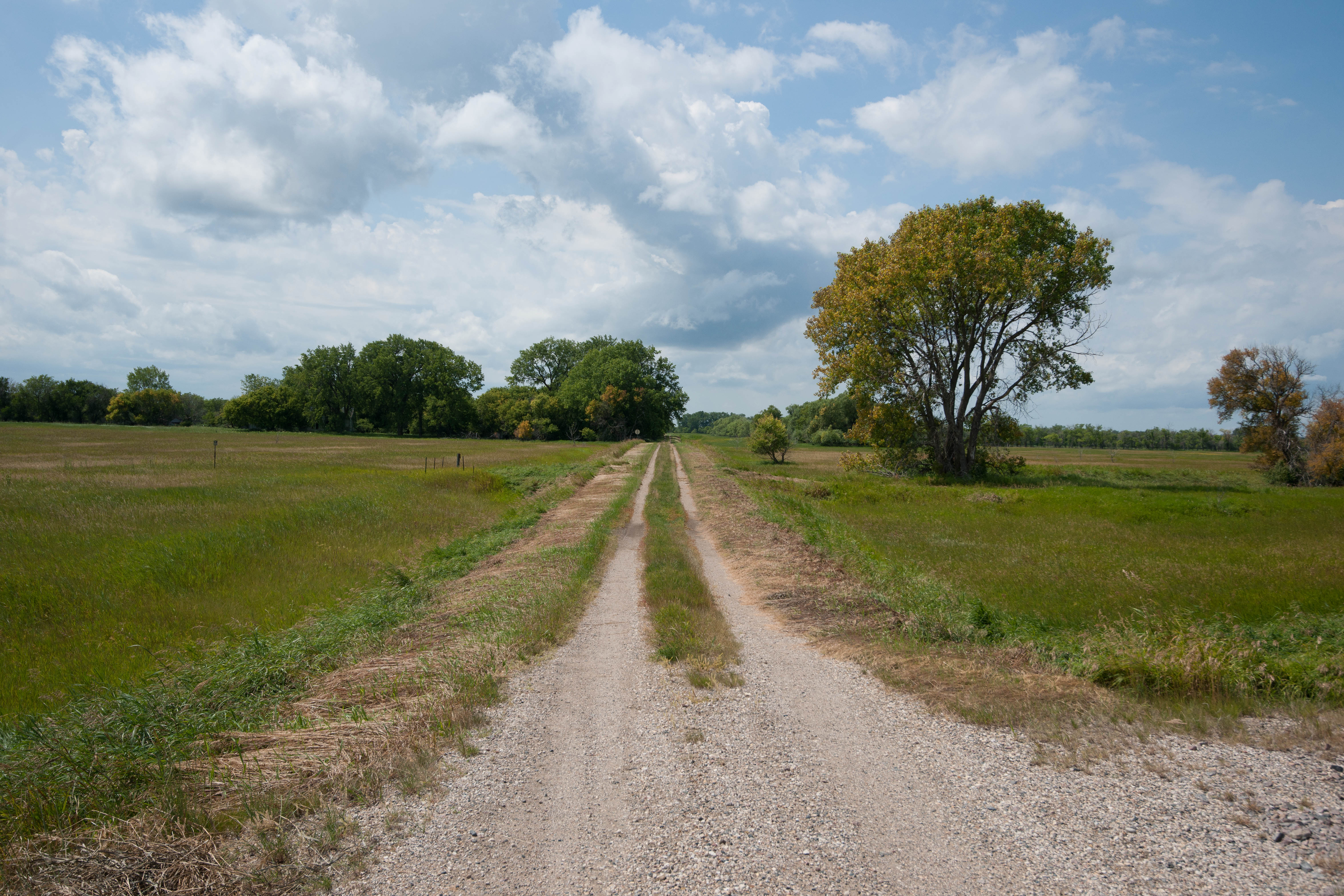
Walsh Cty 12B
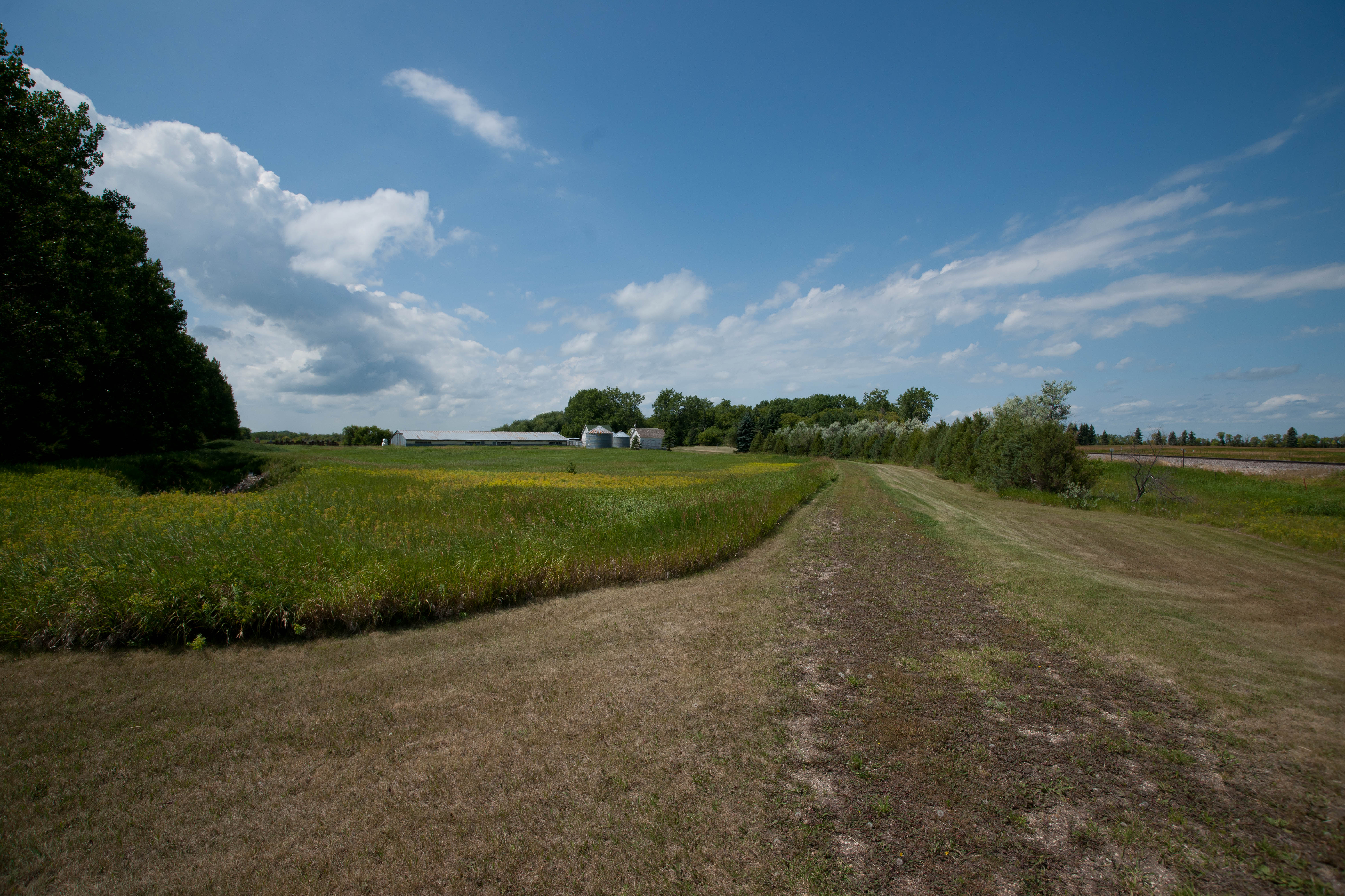
Kerry, North Dakota
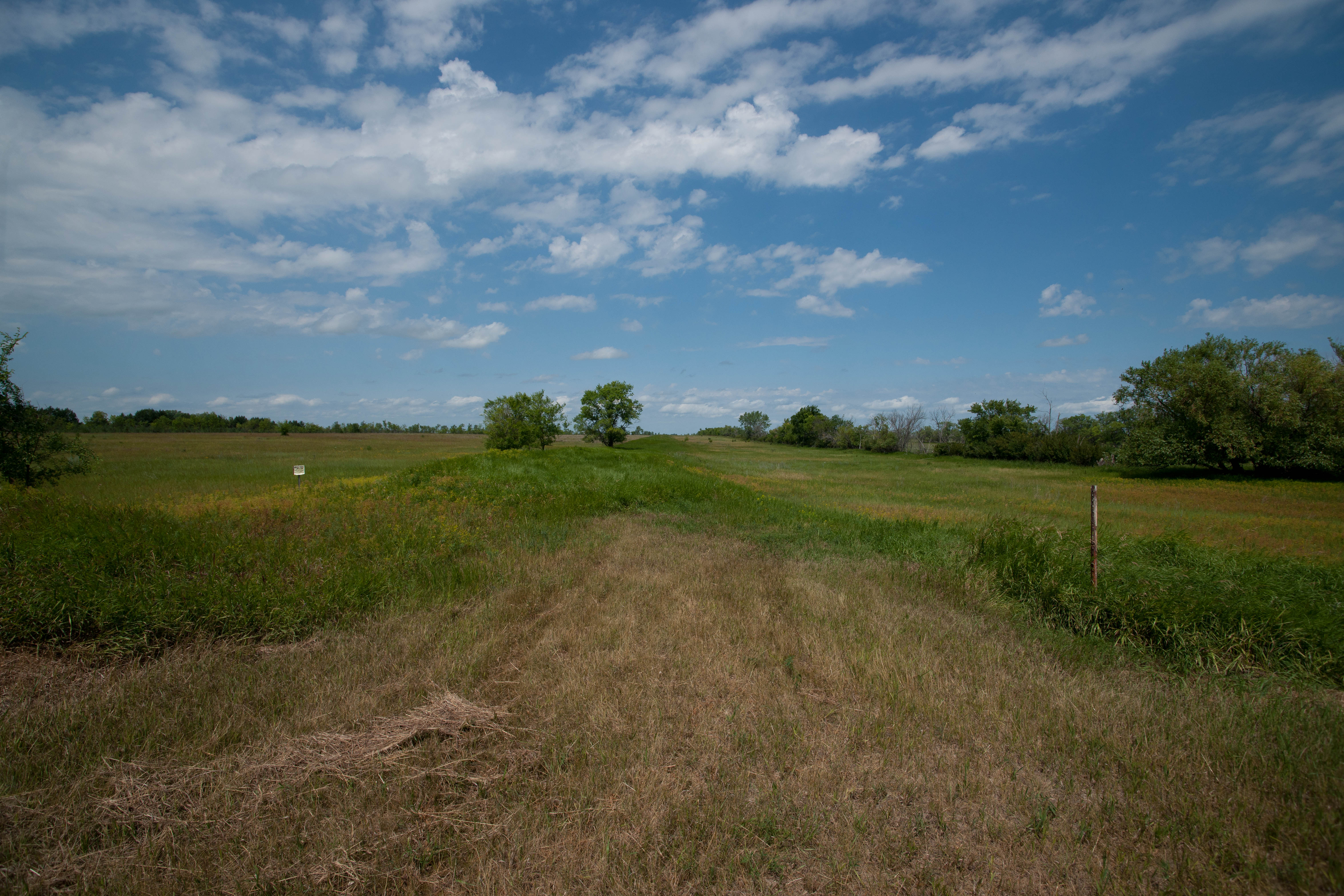
Kerry, North Dakota
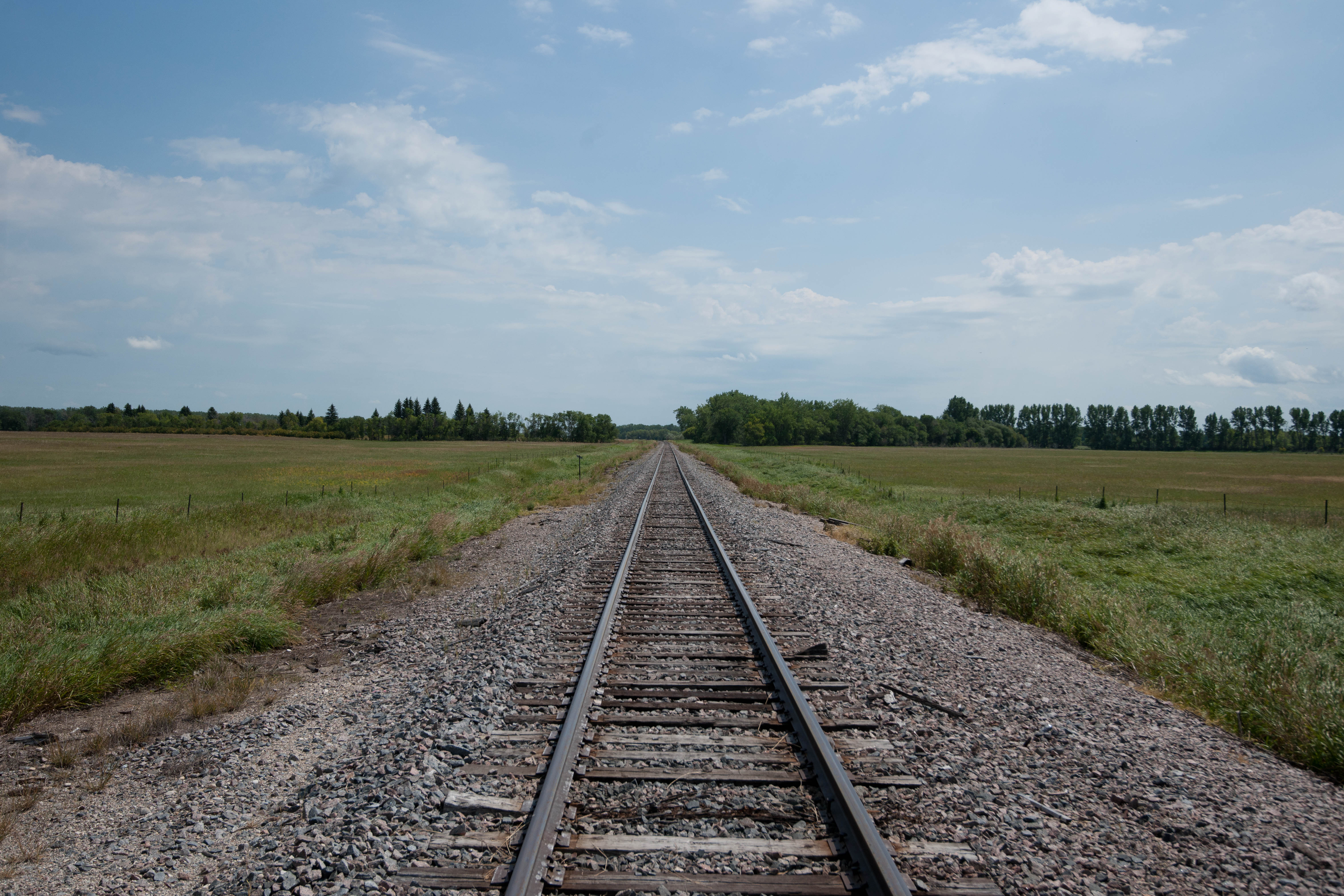
Kerry, North Dakota
Kerry, North Dakota
Topographic Map of Park River, ND, USA
Find elevation by address:

Places near Park River, ND, USA:
Walsh County
Rushford
Pisek
Fertile
14158 67th St Ne
Glenwood
1030 Dale Ave
Dale Ave, Hoople, ND, USA
1486 Dogwood Ave
1456 Dogwood Ave
1456 Dogwood Ave
1456 Dogwood Ave
252 W 3rd St
1203 Kittson Ave
Brennan Ave, Forest River, ND, USA
Grafton
38 E 12th St, Grafton, ND, USA
Plymouth
2564 49th St Ne
Cavalier
Recent Searches:
- Elevation of Co Rd 87, Jamestown, CO, USA
- Elevation of Tenjo, Cundinamarca, Colombia
- Elevation of Côte-des-Neiges, Montreal, QC H4A 3J6, Canada
- Elevation of Bobcat Dr, Helena, MT, USA
- Elevation of Zu den Ihlowbergen, Althüttendorf, Germany
- Elevation of Badaber, Peshawar, Khyber Pakhtunkhwa, Pakistan
- Elevation of SE Heron Loop, Lincoln City, OR, USA
- Elevation of Slanický ostrov, 01 Námestovo, Slovakia
- Elevation of Spaceport America, Co Rd A, Truth or Consequences, NM, USA
- Elevation of Warwick, RI, USA