Elevation of 38 E 12th St, Grafton, ND, USA
Location: United States > North Dakota > Walsh County > Grafton >
Longitude: -97.410313
Latitude: 48.4122783
Elevation: 253m / 830feet
Barometric Pressure: 98KPa
Elevation Map:
Satellite Map:
Related Photos:

road trippin...
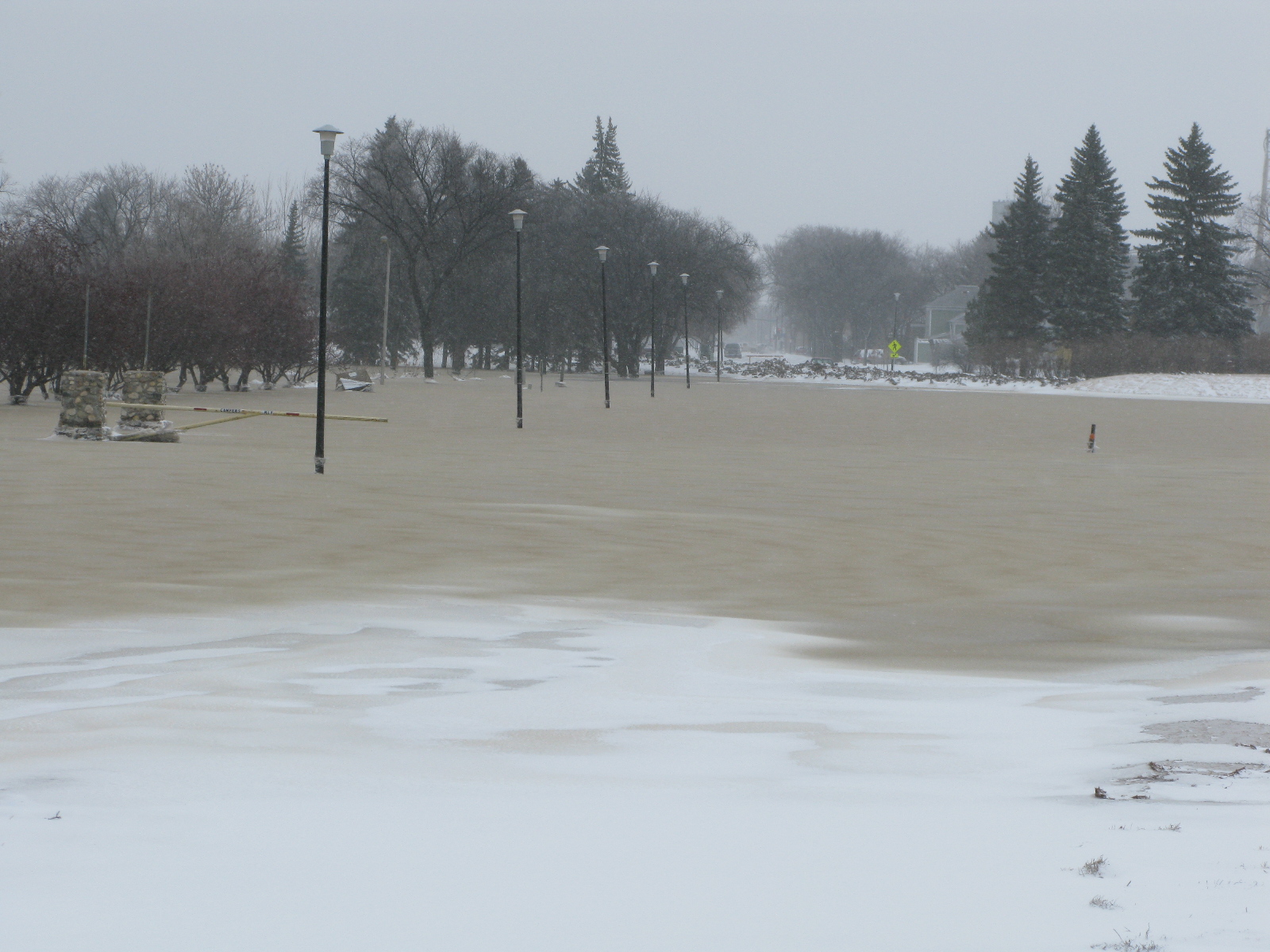
Grafton Flood 2009 WEDNESDAY March 25 - noonish 019
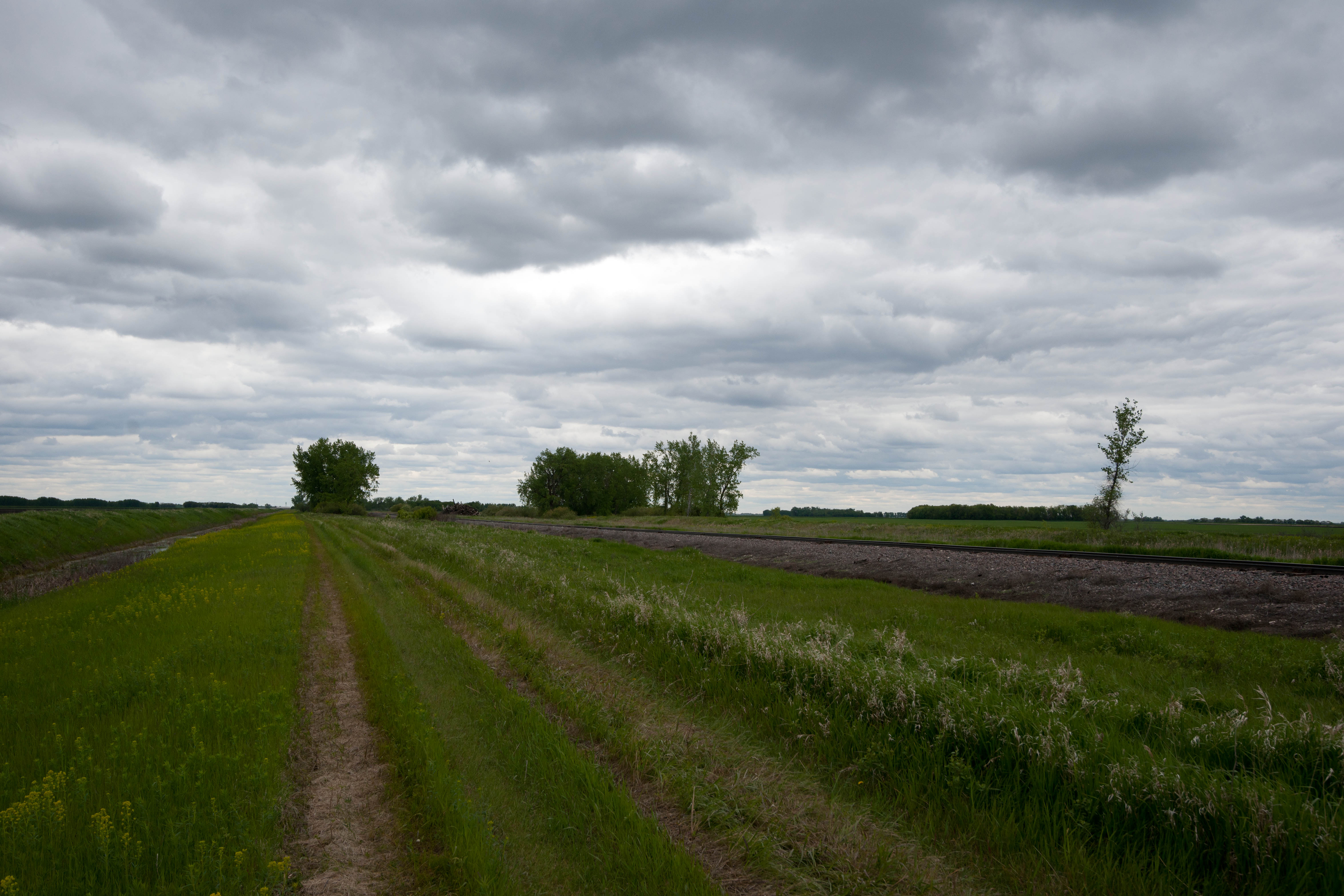
Herriott, North Dakota
Herriott, North Dakota
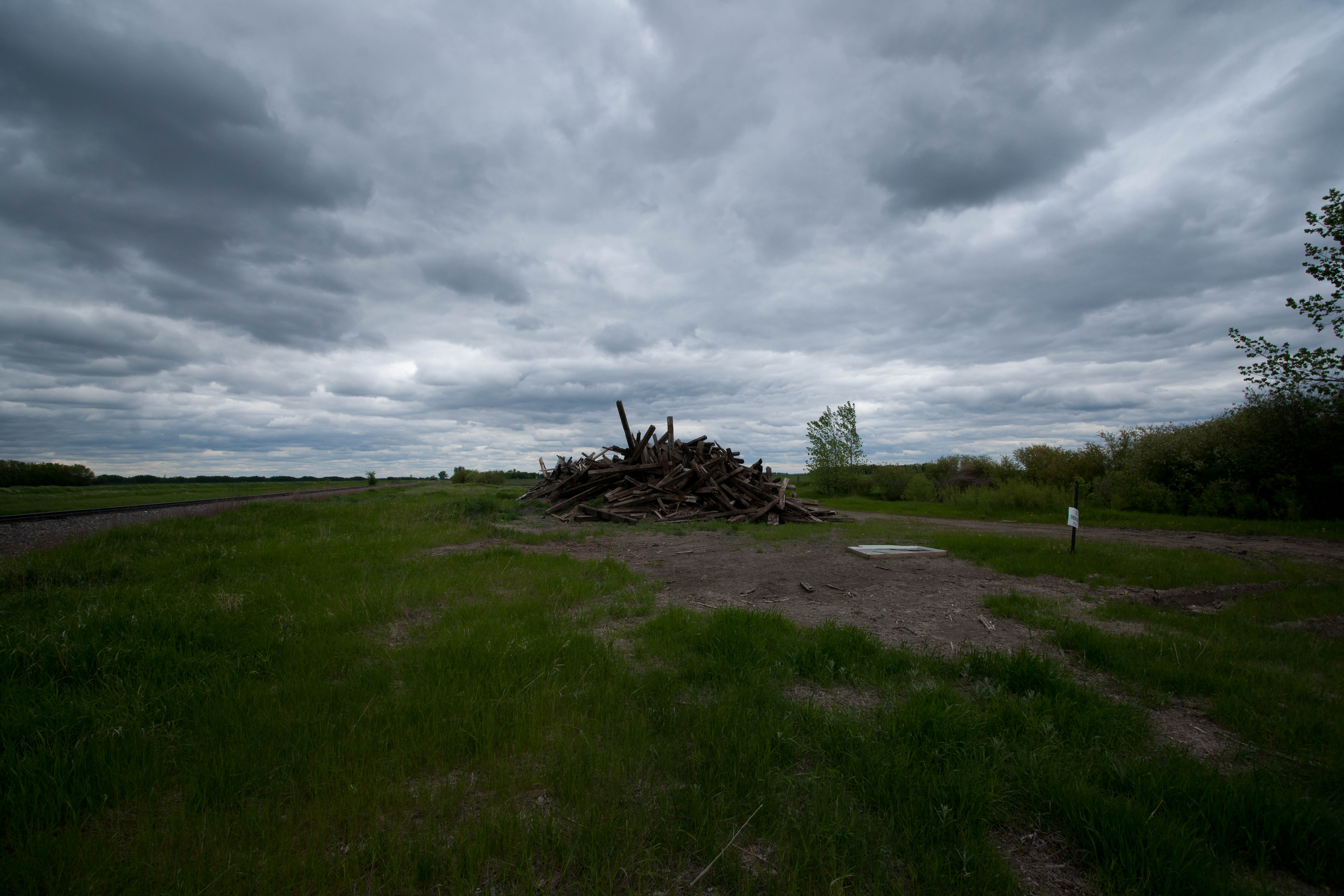
Kellogg, North Dakota
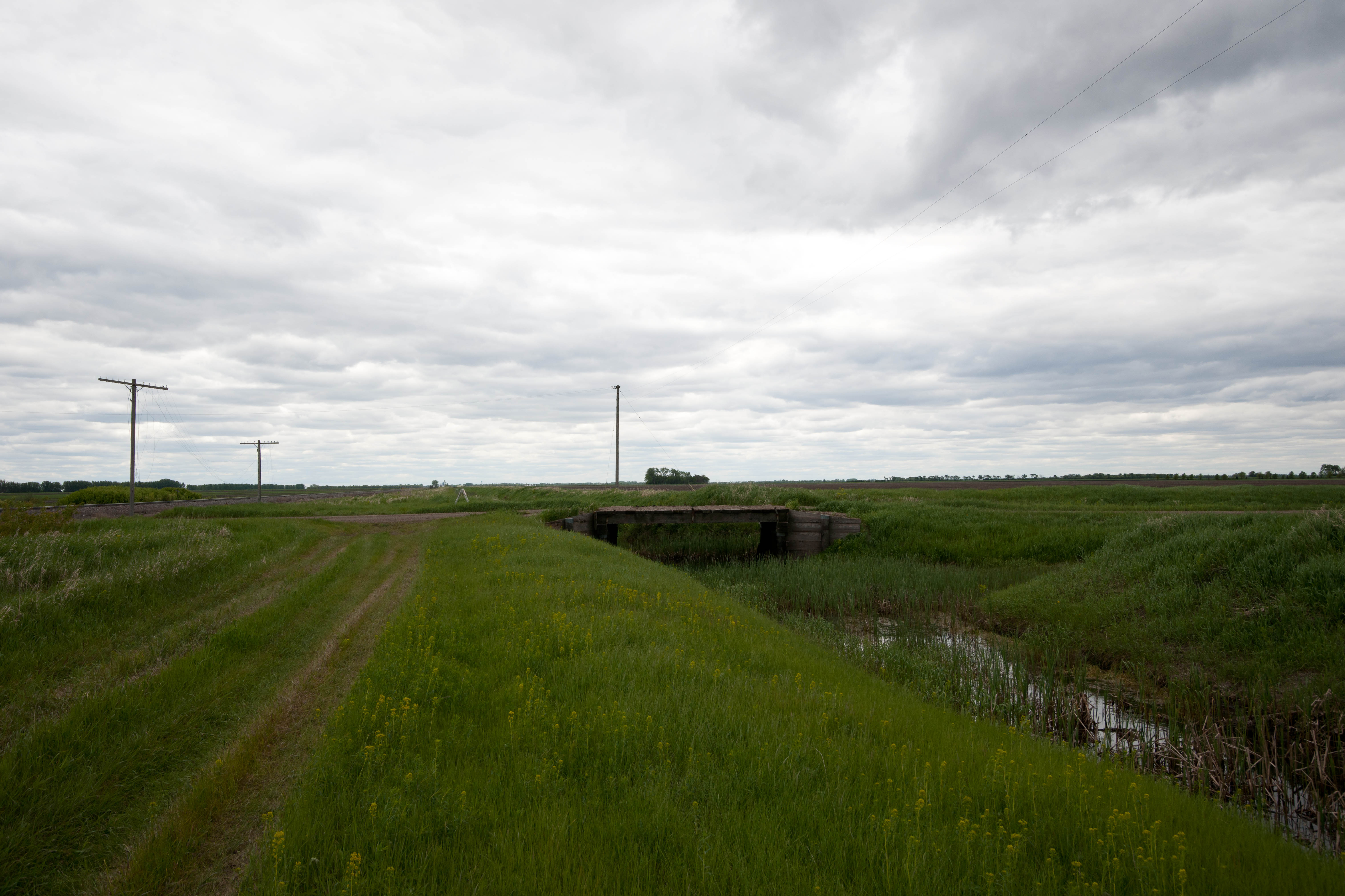
Herriott, North Dakota
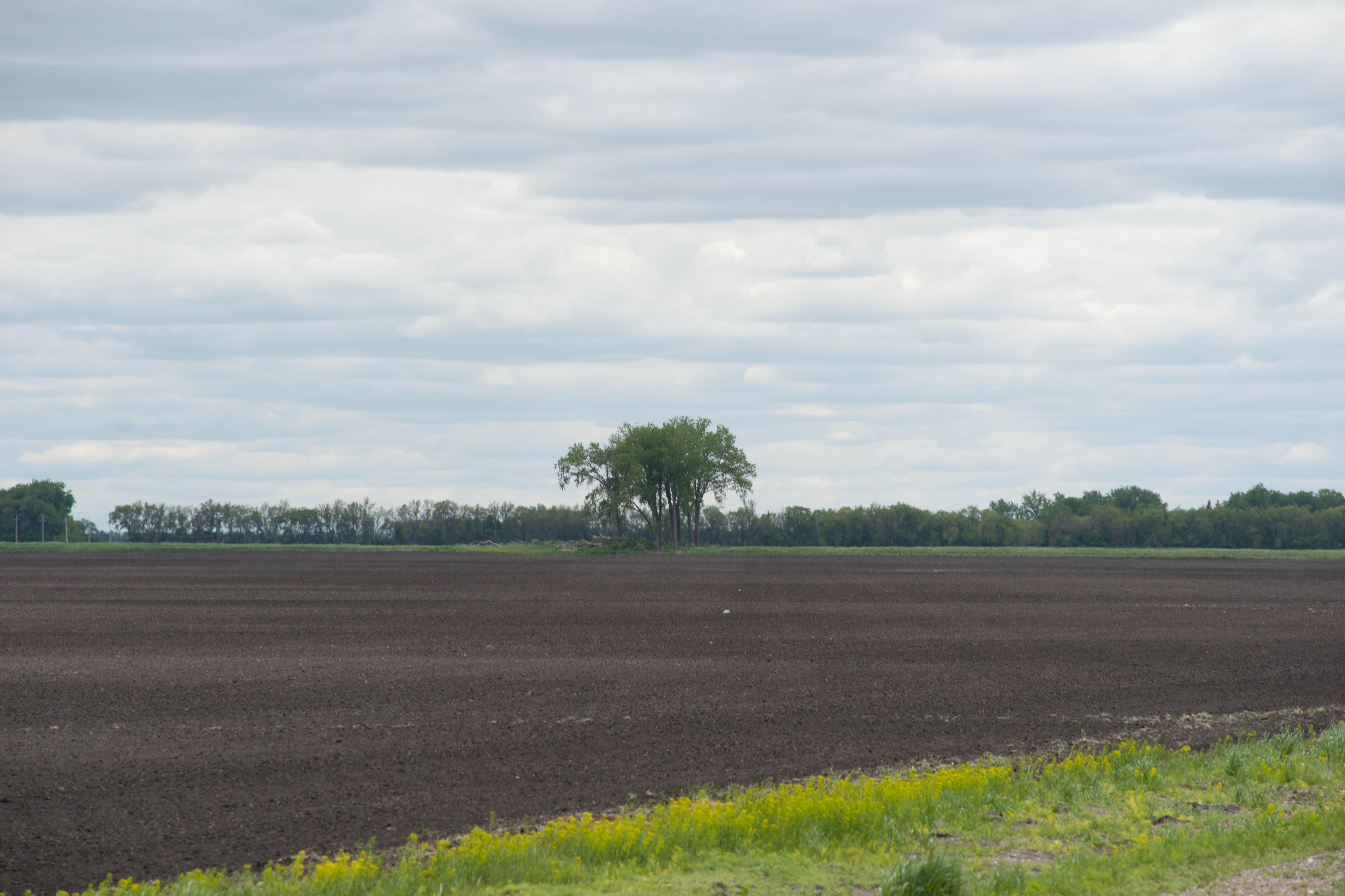
Kellogg, North Dakota
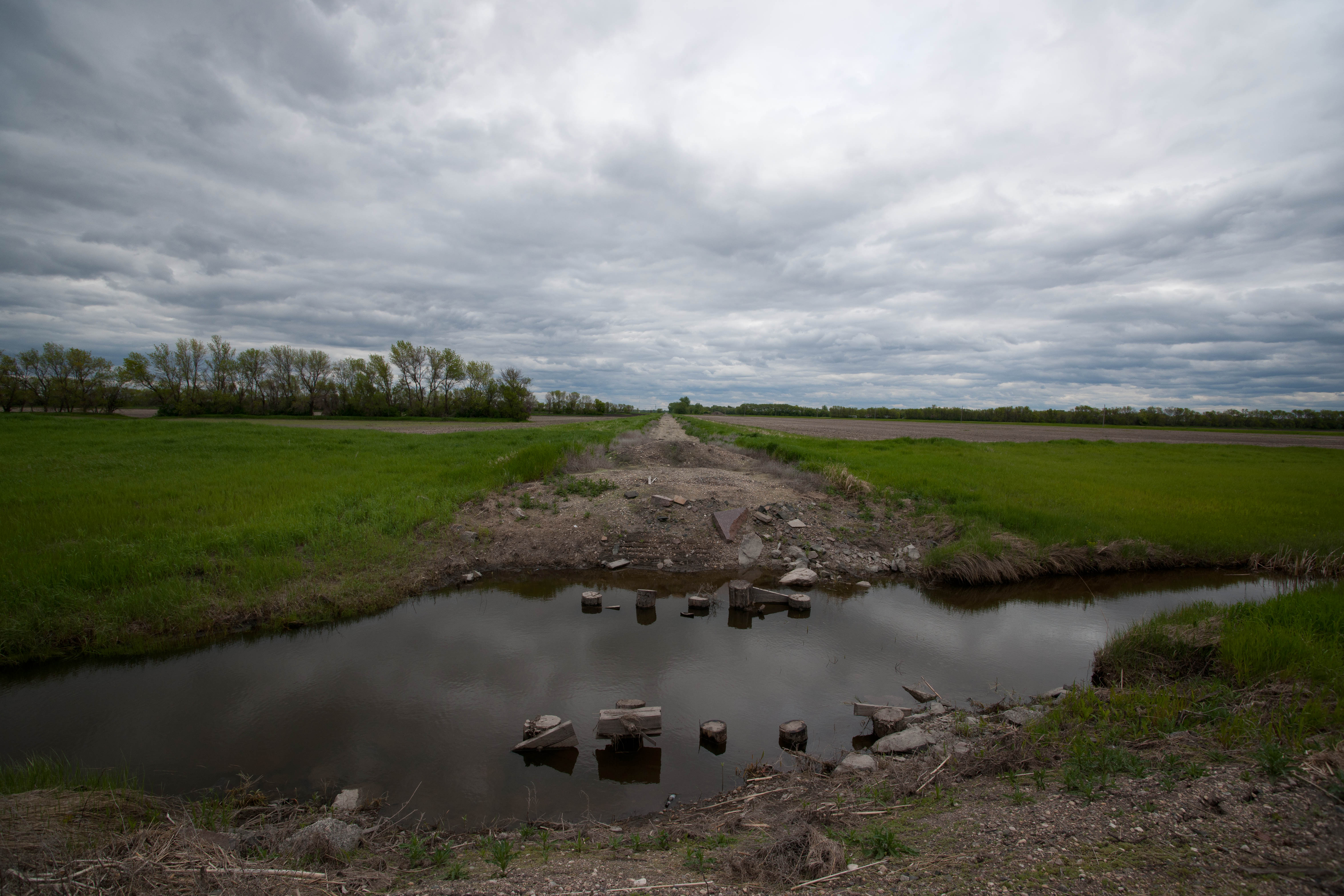
Oakwood, North Dakota
Kellogg, North Dakota
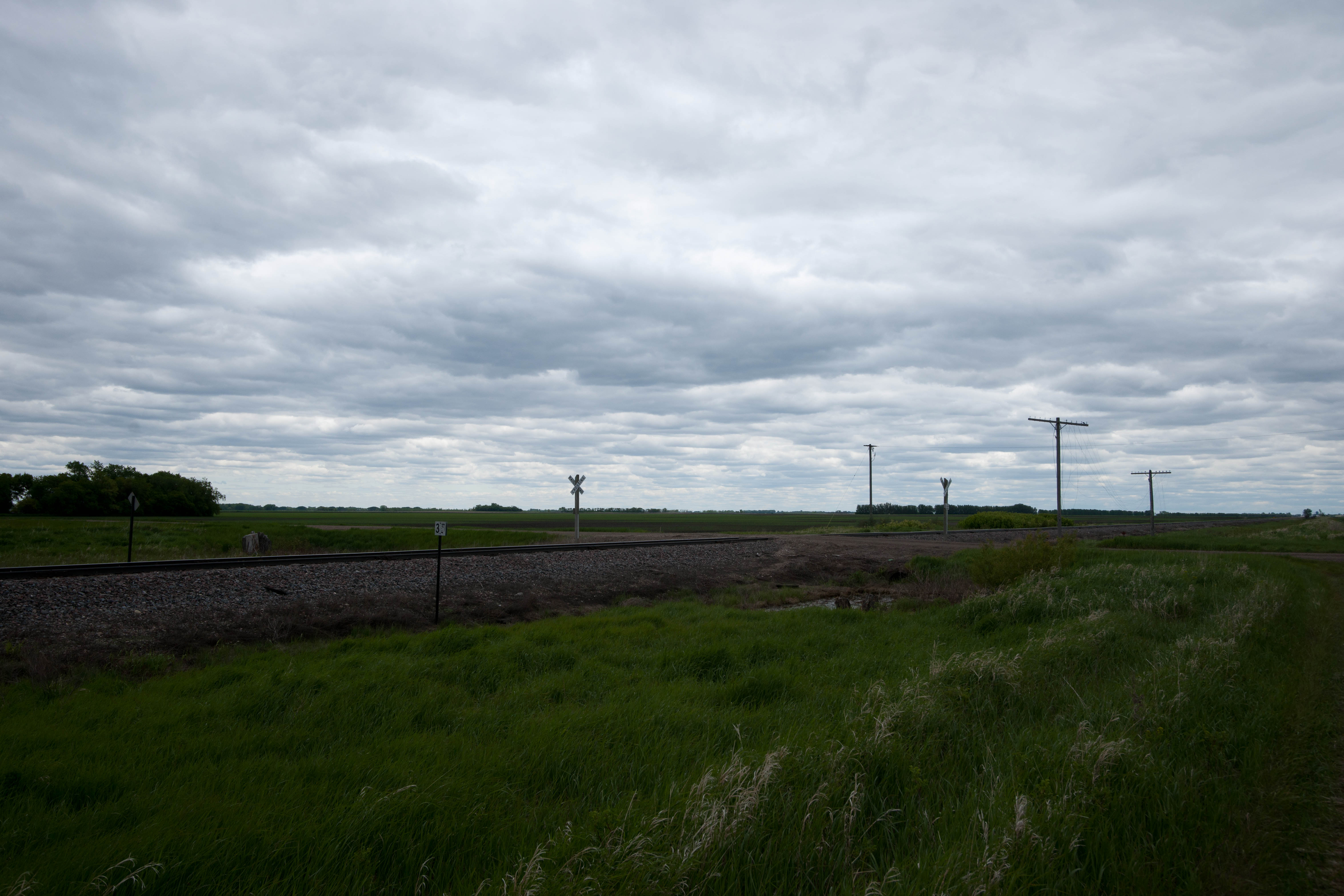
Herriott, North Dakota
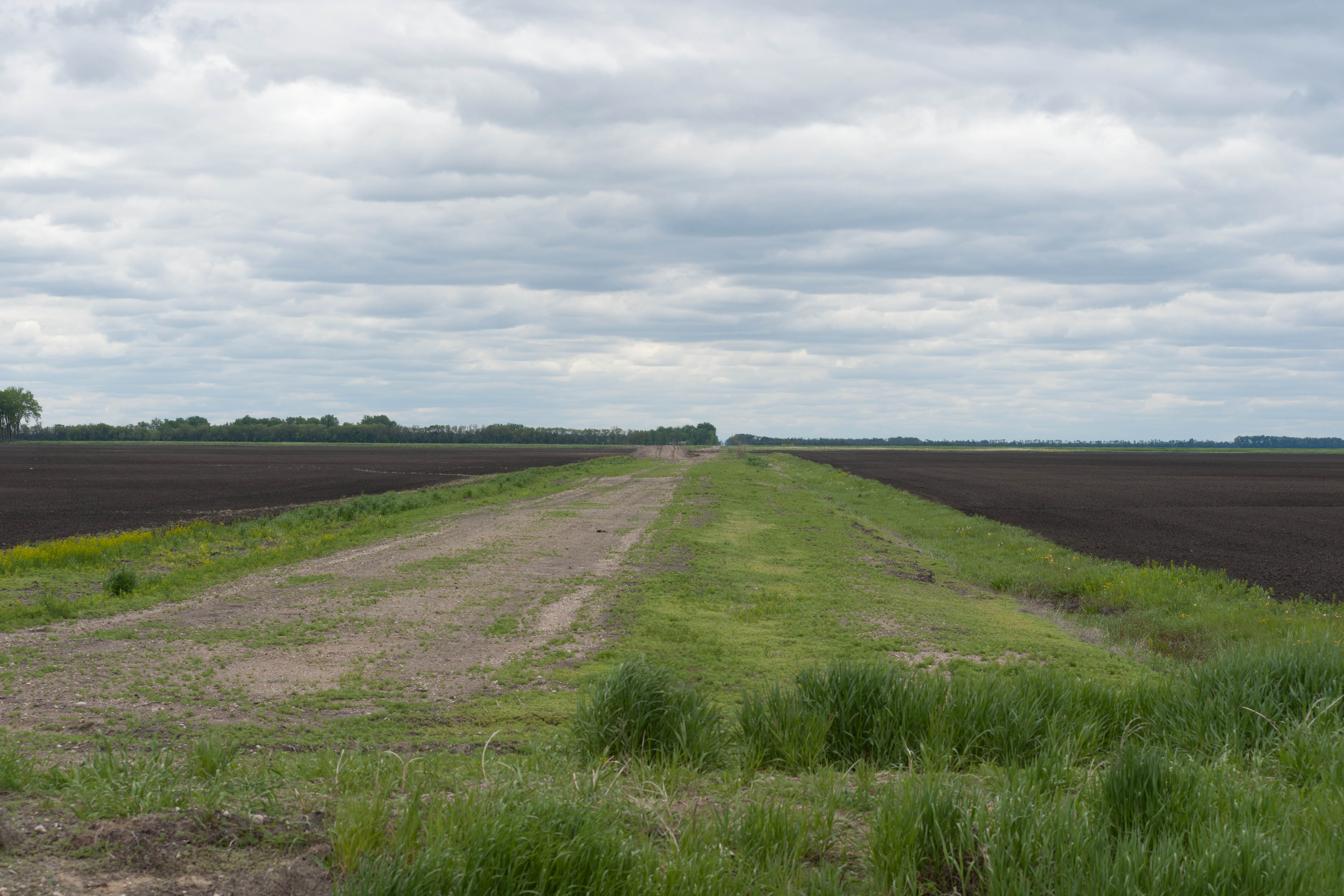
Kellogg, North Dakota
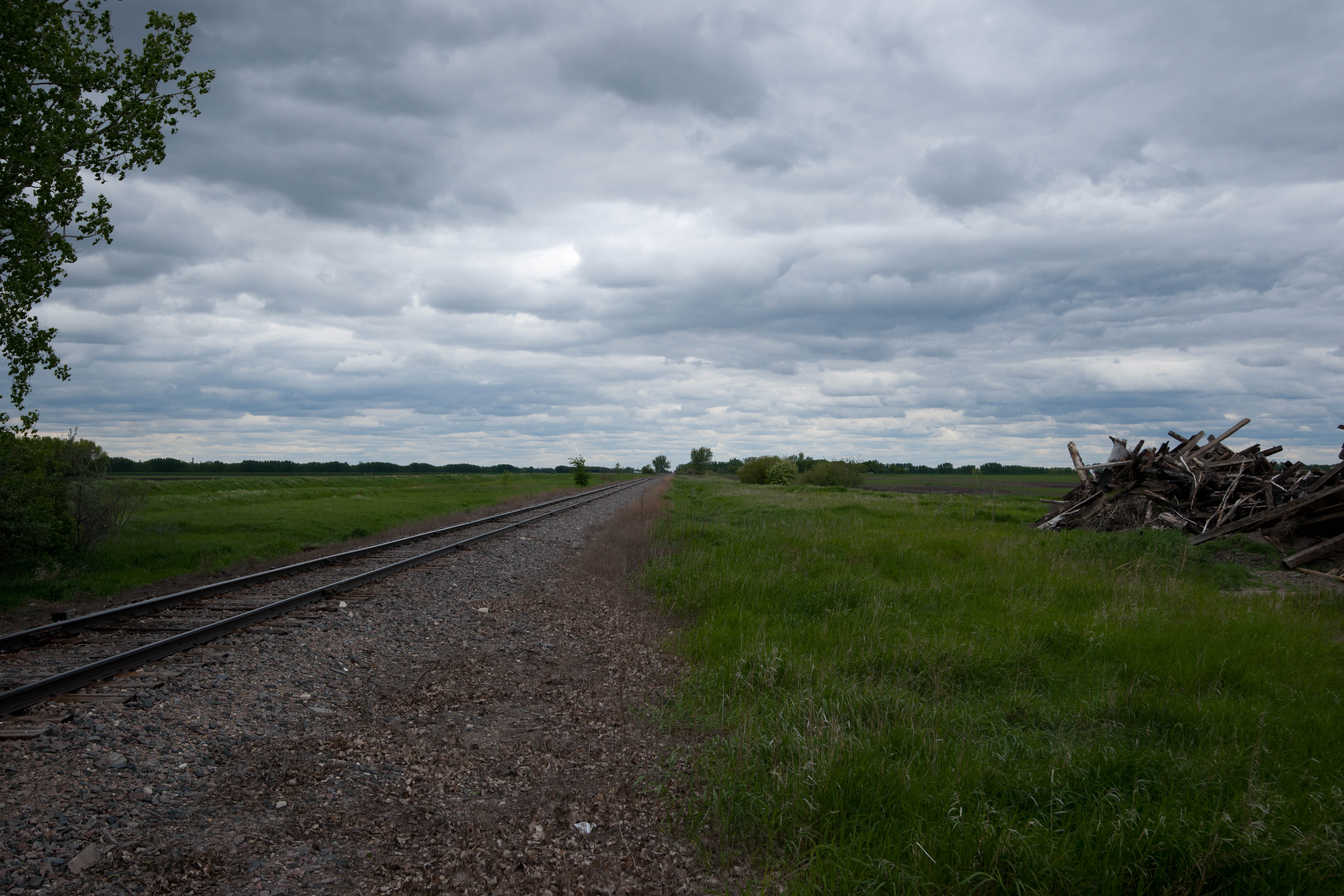
Herriott, North Dakota
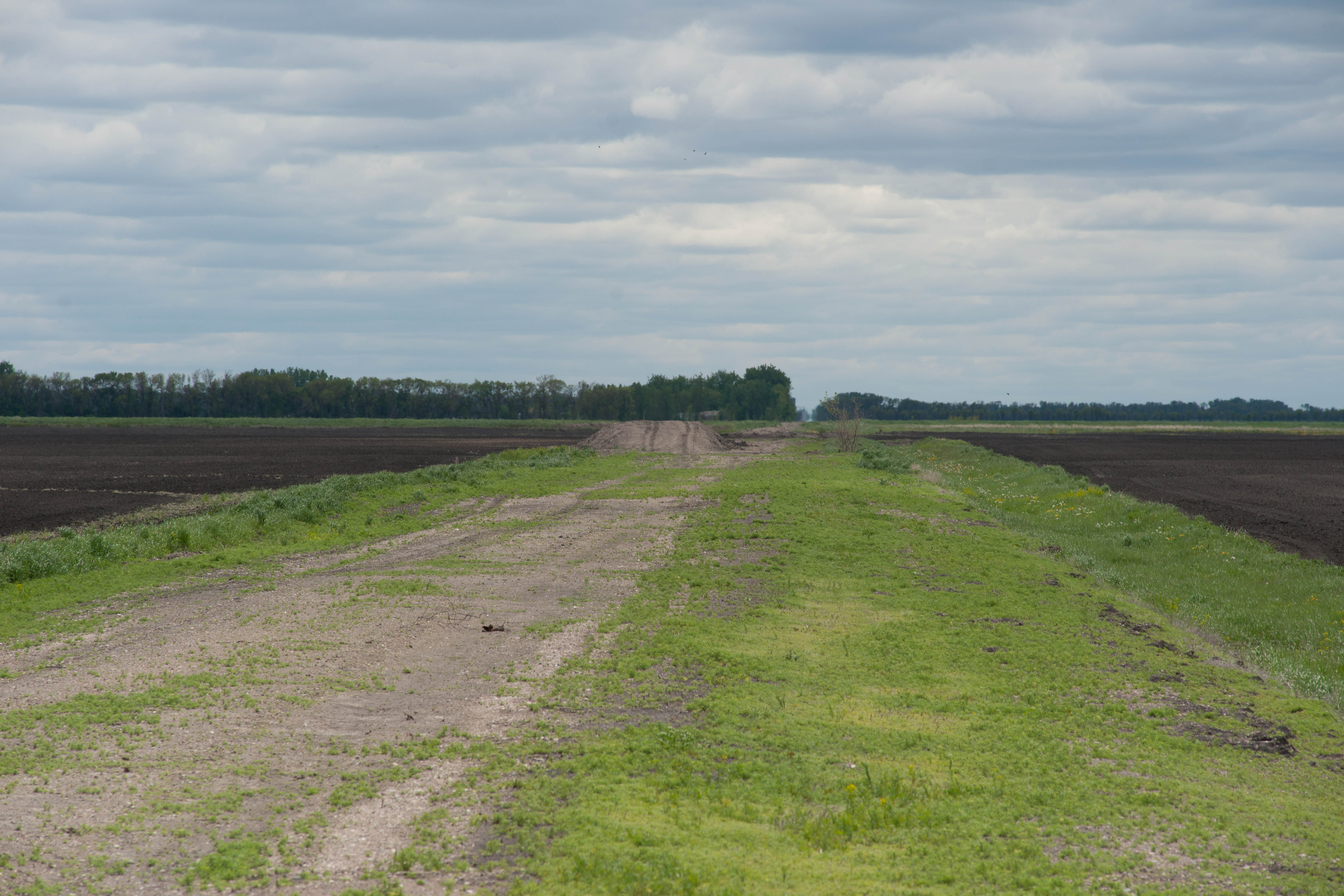
Kellogg, North Dakota

Path to... • #new #norge #norway #norvege
Topographic Map of 38 E 12th St, Grafton, ND, USA
Find elevation by address:

Places near 38 E 12th St, Grafton, ND, USA:
Grafton
1203 Kittson Ave
252 W 3rd St
1456 Dogwood Ave
1456 Dogwood Ave
1456 Dogwood Ave
1486 Dogwood Ave
Fertile
14158 67th St Ne
Brennan Ave, Forest River, ND, USA
Glenwood
1030 Dale Ave
Dale Ave, Hoople, ND, USA
Rushford
Pembina County
Pisek
Park River
Walsh County
Oslo
Marshall St, Oslo, MN, USA
Recent Searches:
- Elevation of Congressional Dr, Stevensville, MD, USA
- Elevation of Bellview Rd, McLean, VA, USA
- Elevation of Stage Island Rd, Chatham, MA, USA
- Elevation of Shibuya Scramble Crossing, 21 Udagawacho, Shibuya City, Tokyo -, Japan
- Elevation of Jadagoniai, Kaunas District Municipality, Lithuania
- Elevation of Pagonija rock, Kranto 7-oji g. 8"N, Kaunas, Lithuania
- Elevation of Co Rd 87, Jamestown, CO, USA
- Elevation of Tenjo, Cundinamarca, Colombia
- Elevation of Côte-des-Neiges, Montreal, QC H4A 3J6, Canada
- Elevation of Bobcat Dr, Helena, MT, USA