Elevation of Rushford, ND, USA
Location: United States > North Dakota > Walsh County >
Longitude: -97.703090
Latitude: 48.3309872
Elevation: 295m / 968feet
Barometric Pressure: 98KPa
Elevation Map:
Satellite Map:
Related Photos:

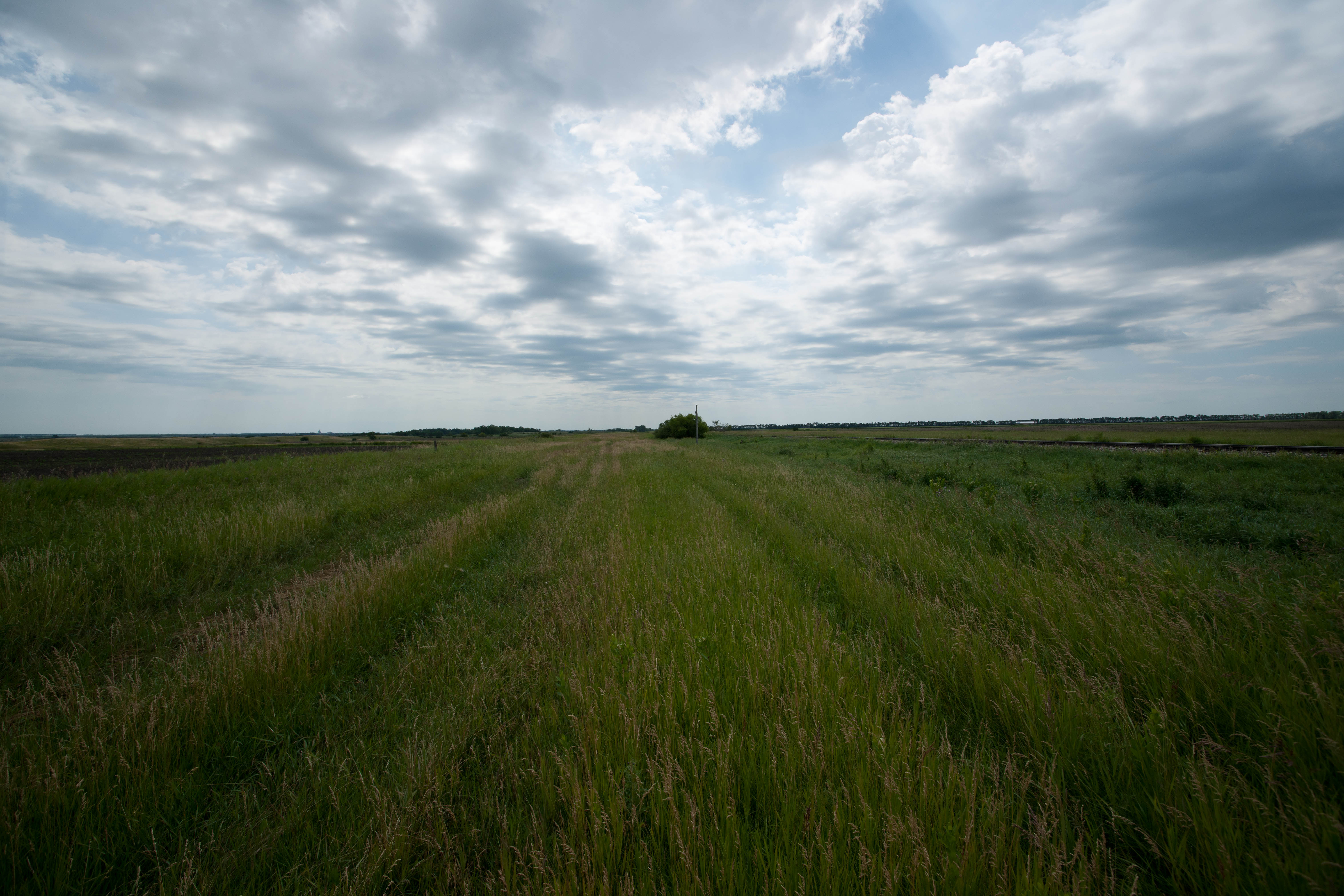
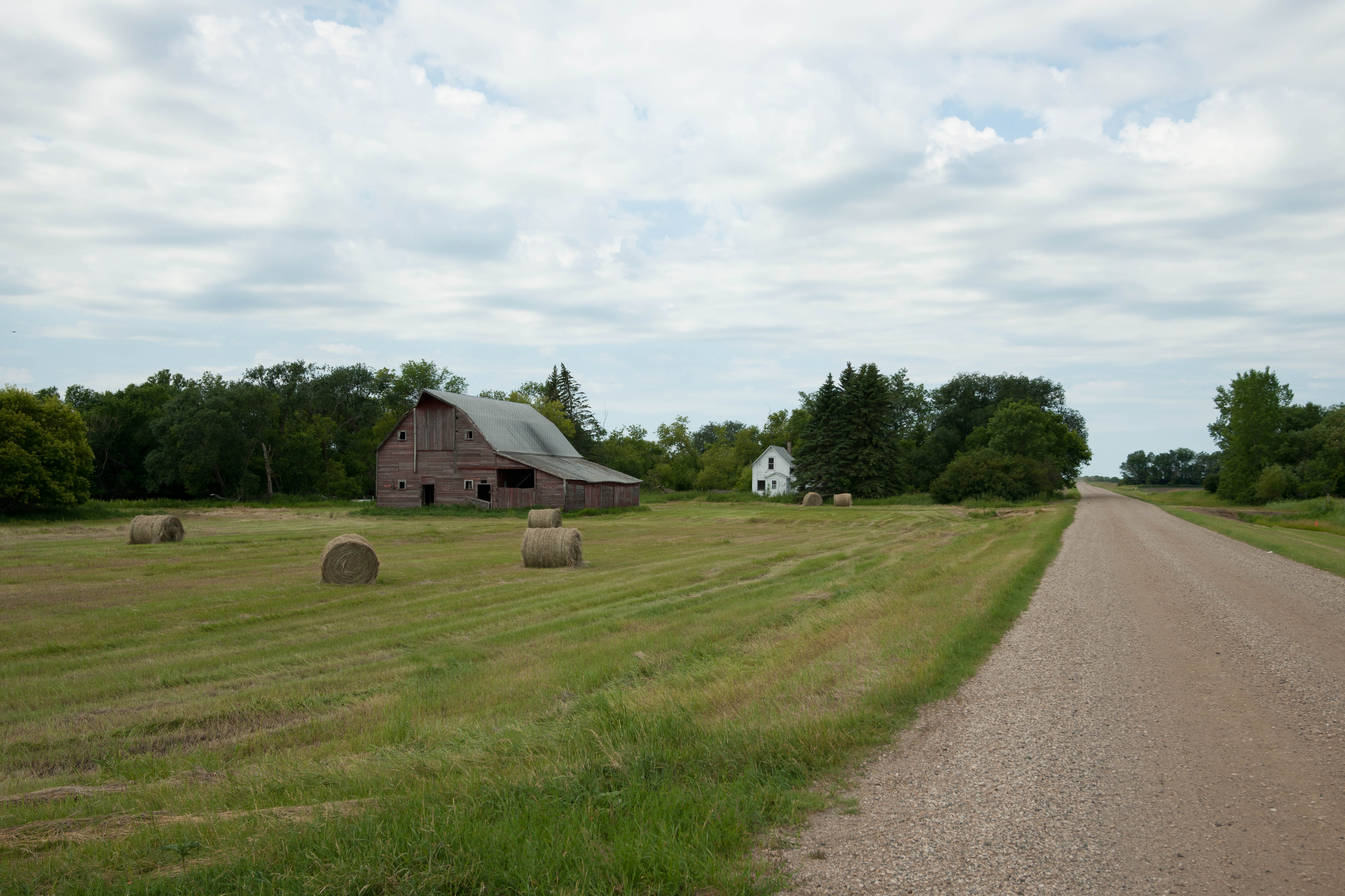
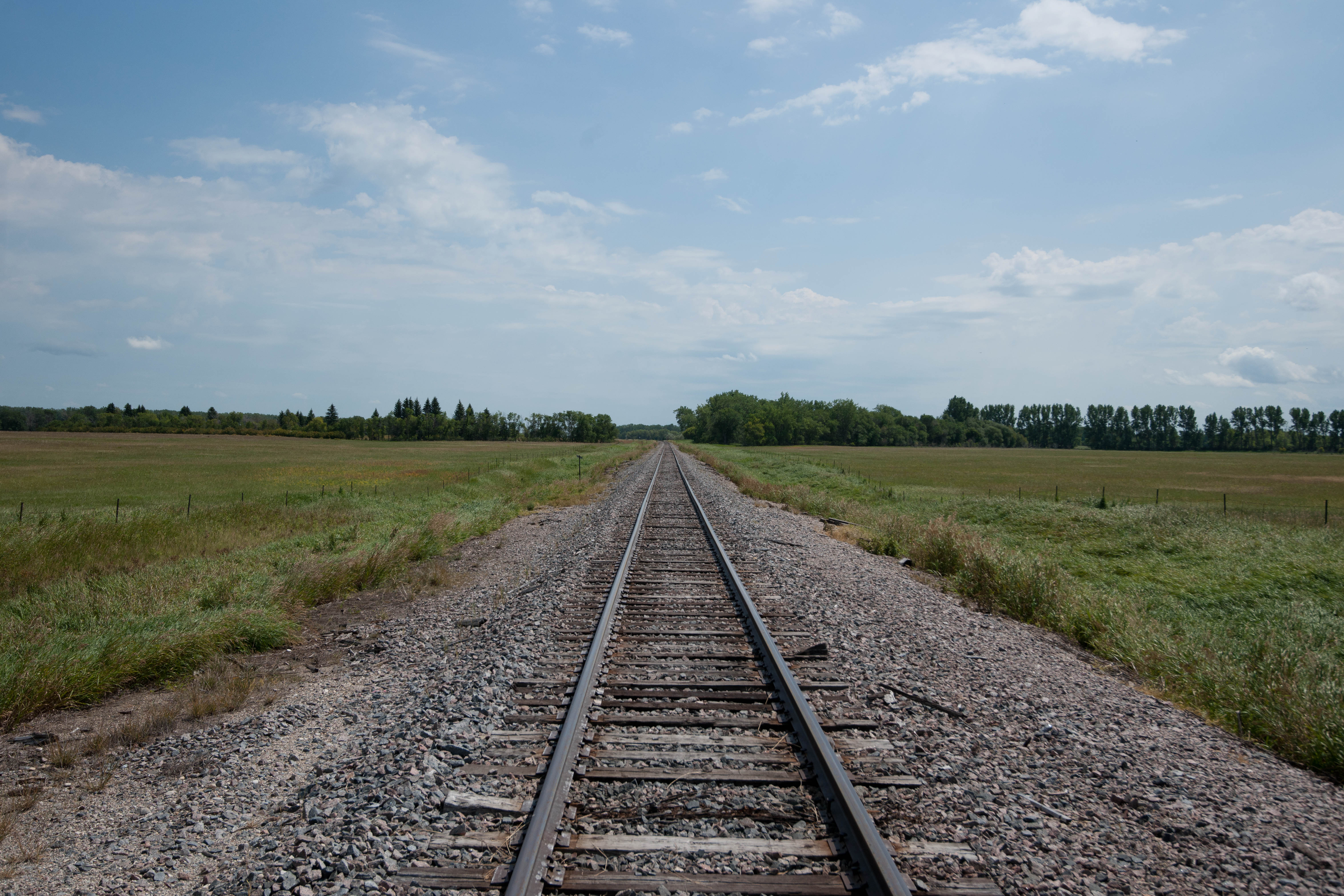
Rows in the field
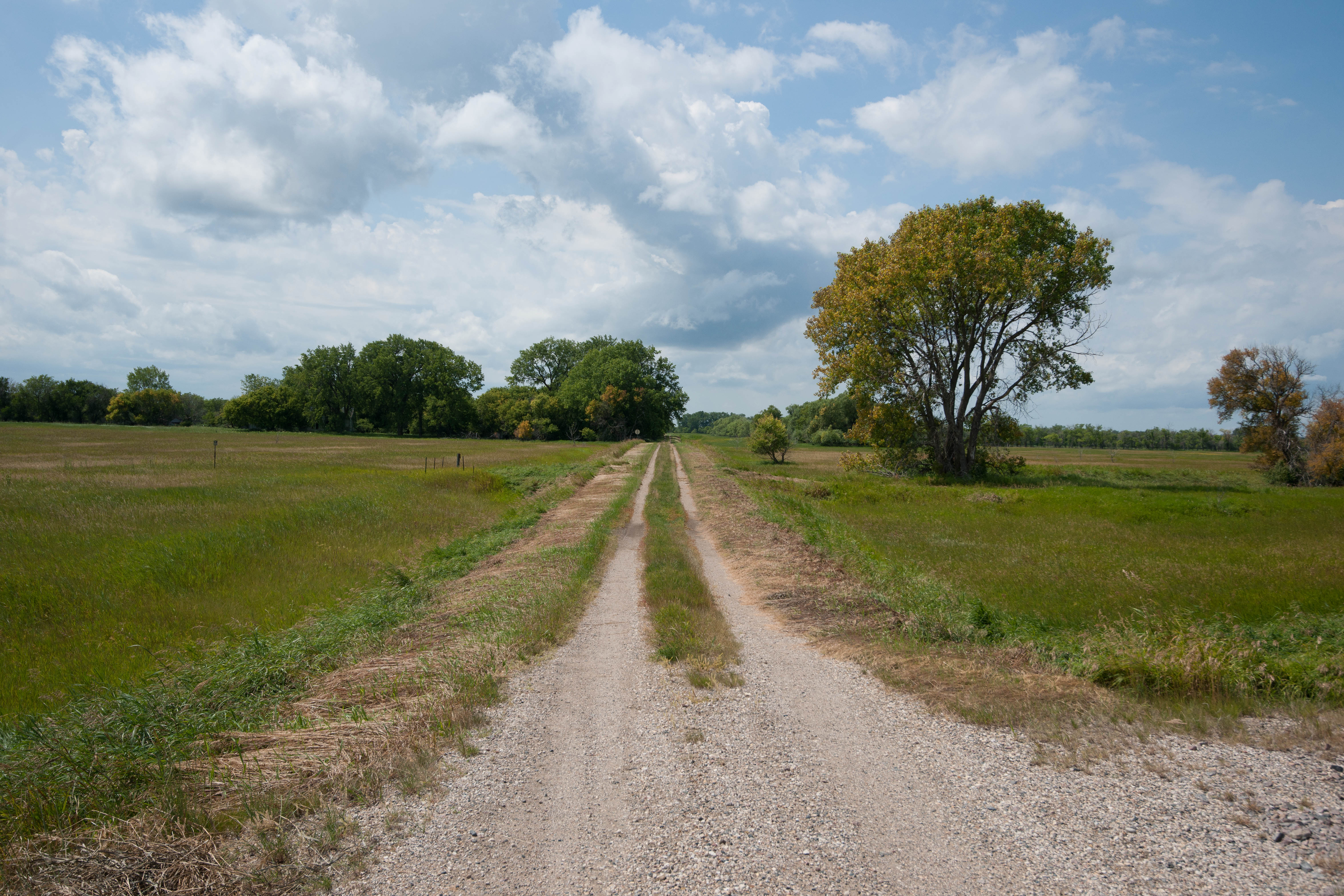
Dewar, North Dakota
Park River, North Dakota

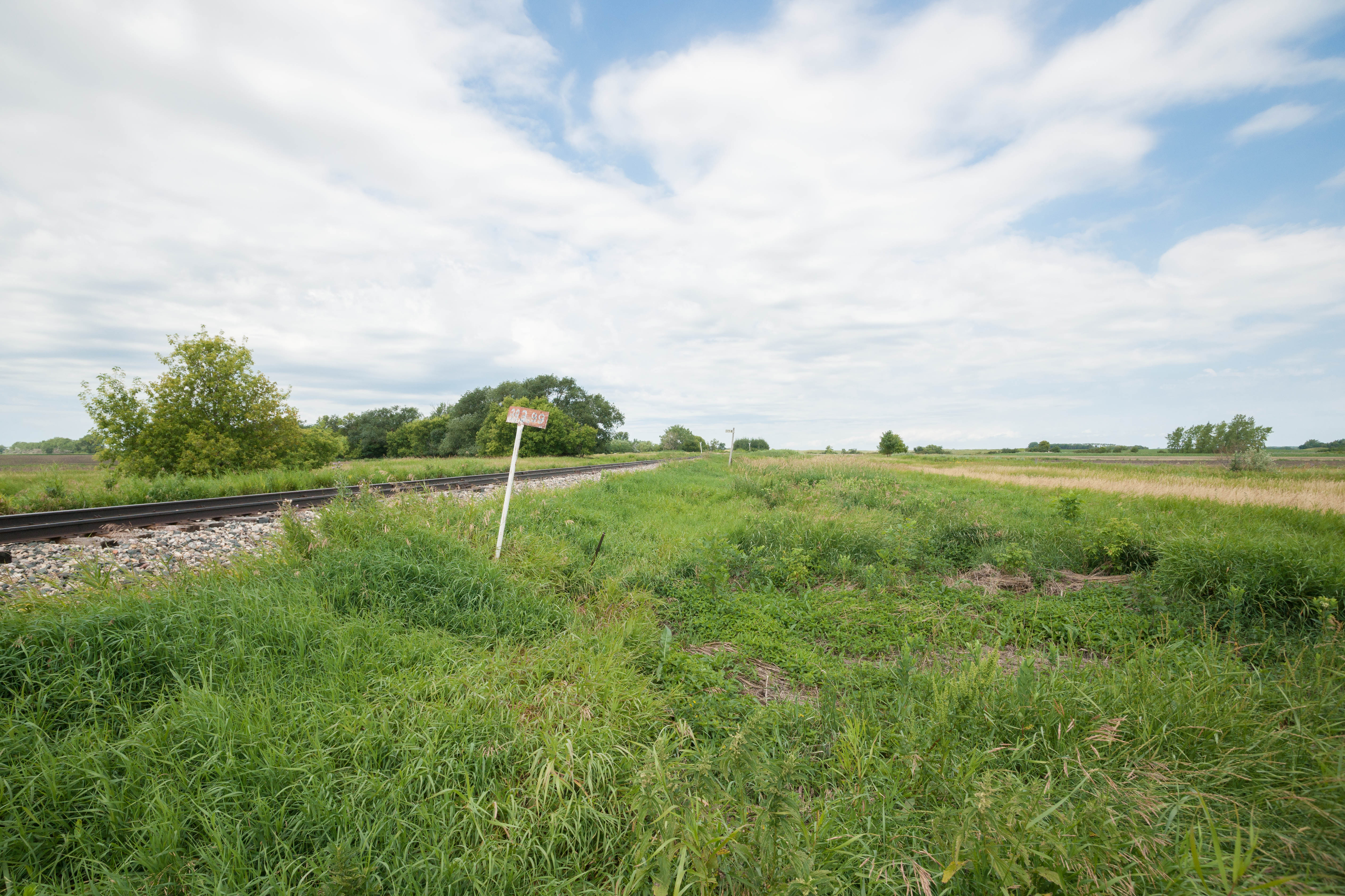
Walsh Cty 12B
Lankin, North Dakota
Dewar, North Dakota
Dewar, North Dakota
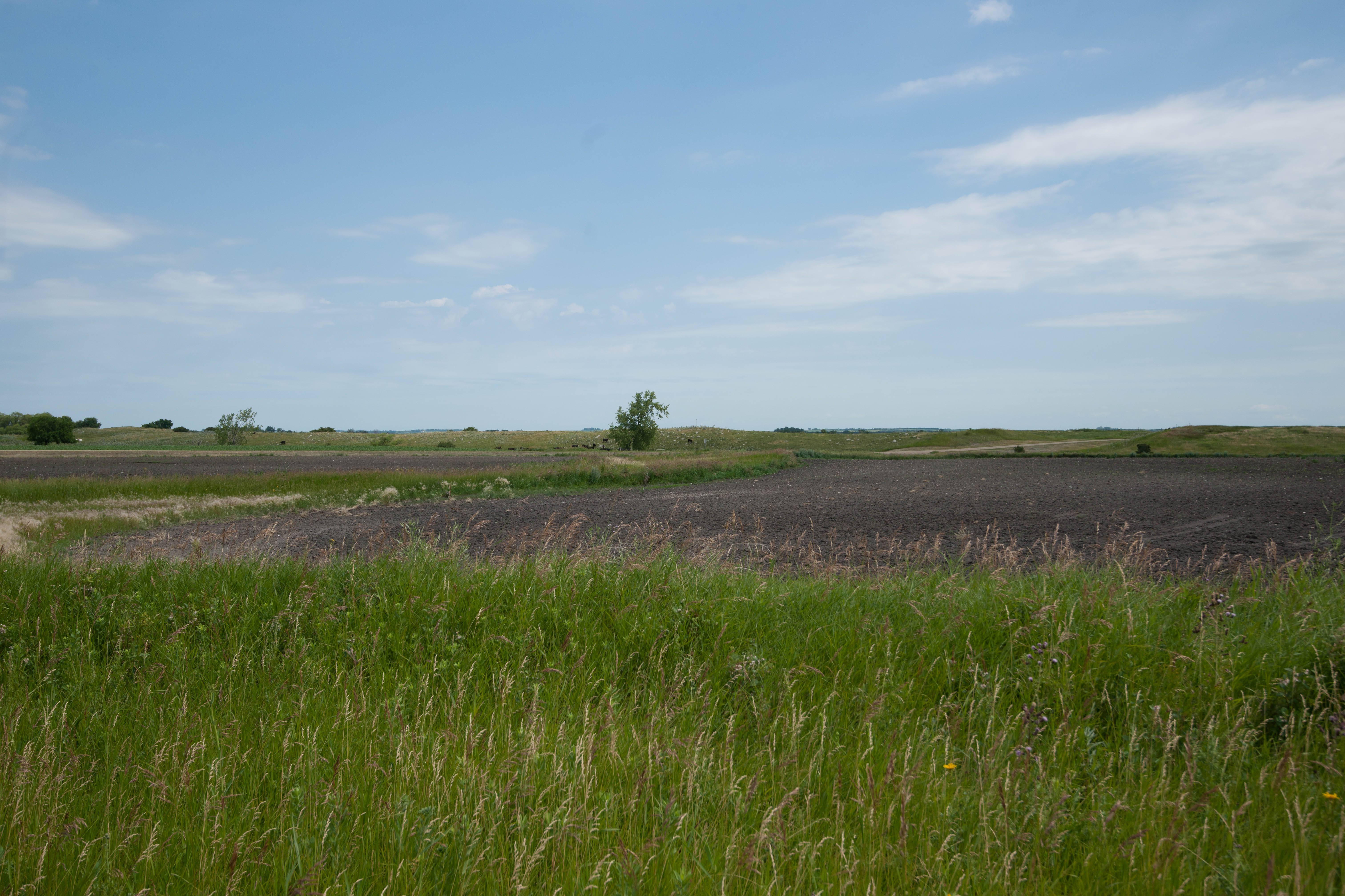
Dewar, North Dakota
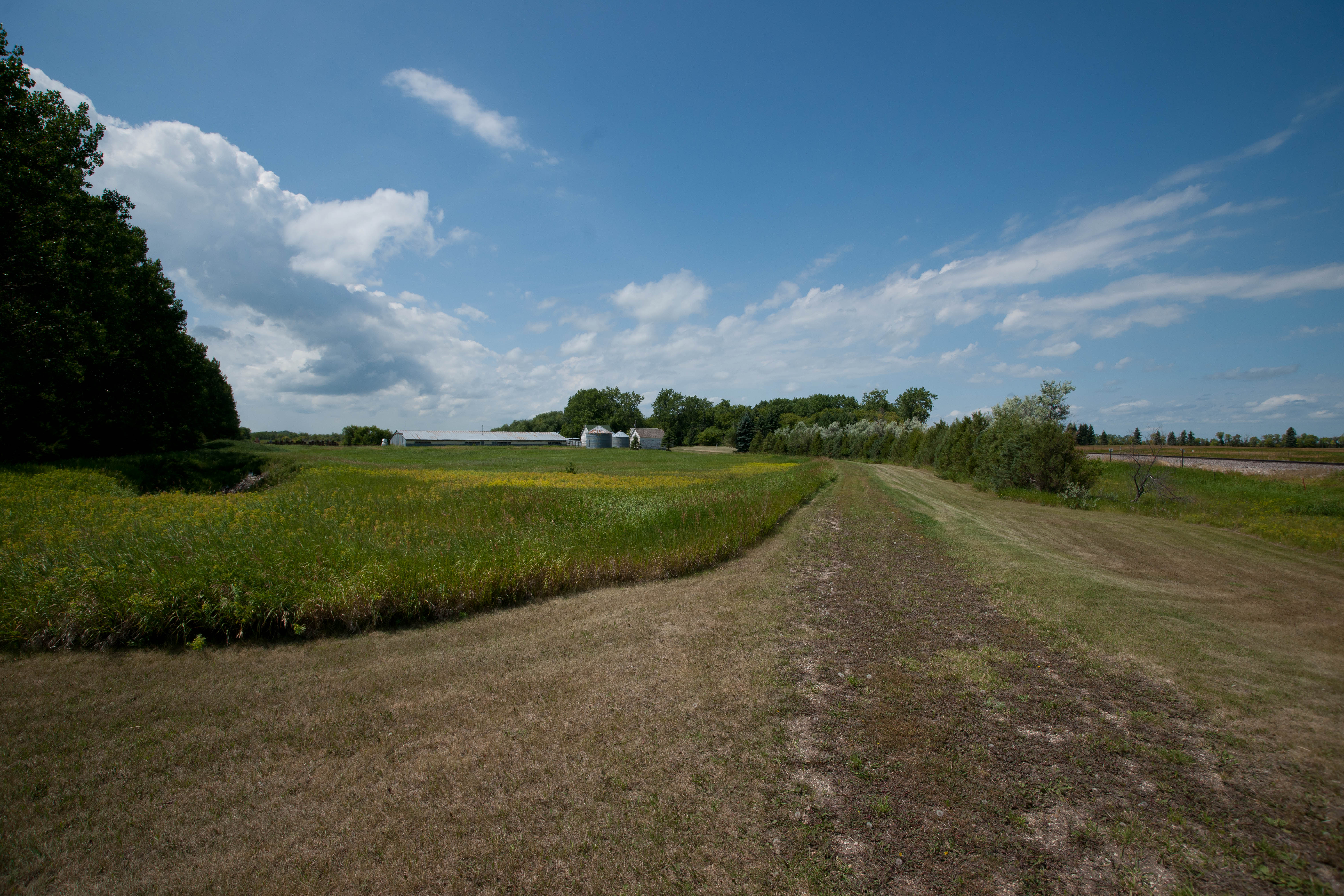
Kerry, North Dakota
Dewar, North Dakota
Kerry, North Dakota
Kerry, North Dakota
Topographic Map of Rushford, ND, USA
Find elevation by address:

Places in Rushford, ND, USA:
Places near Rushford, ND, USA:
Pisek
Walsh County
Park River
14158 67th St Ne
Fertile
Glenwood
1030 Dale Ave
Dale Ave, Hoople, ND, USA
Brennan Ave, Forest River, ND, USA
1486 Dogwood Ave
1456 Dogwood Ave
1456 Dogwood Ave
1456 Dogwood Ave
Plymouth
1203 Kittson Ave
252 W 3rd St
Grafton
38 E 12th St, Grafton, ND, USA
2564 49th St Ne
Larimore
Recent Searches:
- Elevation of Badaber, Peshawar, Khyber Pakhtunkhwa, Pakistan
- Elevation of SE Heron Loop, Lincoln City, OR, USA
- Elevation of Slanický ostrov, 01 Námestovo, Slovakia
- Elevation of Spaceport America, Co Rd A, Truth or Consequences, NM, USA
- Elevation of Warwick, RI, USA
- Elevation of Fern Rd, Whitmore, CA, USA
- Elevation of 62 Abbey St, Marshfield, MA, USA
- Elevation of Fernwood, Bradenton, FL, USA
- Elevation of Felindre, Swansea SA5 7LU, UK
- Elevation of Leyte Industrial Development Estate, Isabel, Leyte, Philippines