Elevation of Langdon, ND, USA
Location: United States > North Dakota > Cavalier County >
Longitude: -98.341009
Latitude: 48.8609373
Elevation: 488m / 1601feet
Barometric Pressure: 96KPa
Elevation Map:
Satellite Map:
Related Photos:

10-27-09 Sunrise

Wall-e

sun rays

Harvest Time

Cumulus Cloud Building

Langdon, North Dakota

Sunset 8/5/11

Vang, North Dakota

Dresden, North Dakota

Dresden, North Dakota

Vang, North Dakota

Maida, North Dakota

North Dakota 2016

Vang, North Dakota

North Dakota

Sunrise 9/23

North Dakota 2016

Burning Sunset
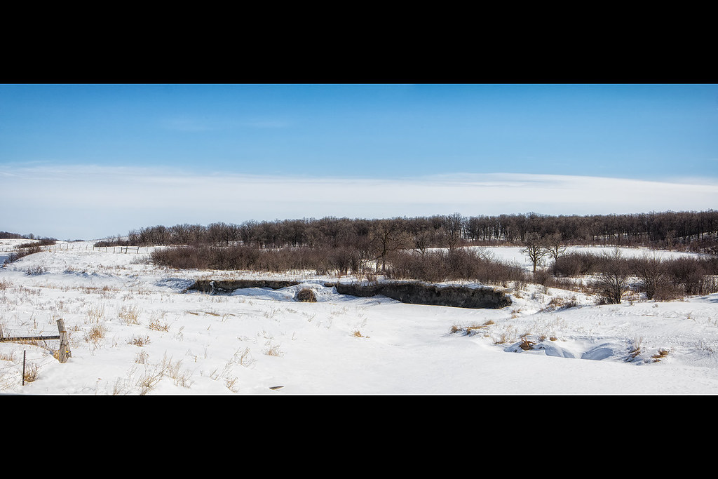
Snow Covered River

North Dakota 2016

20080731-US-NDK_DaveLisaWedding-019

War on Trees
Topographic Map of Langdon, ND, USA
Find elevation by address:

Places near Langdon, ND, USA:
Langdon
Hope
Vang
Main St, Nekoma, ND, USA
Nekoma
Darlingford
Stanley
Stanley St, Darlingford, MB R0G 0L0, Canada
Morden
Edmore, ND, USA
Winkler
Lawton
Main St, Lawton, ND, USA
Cavalier
Park River
Walsh County
Dale Ave, Hoople, ND, USA
1030 Dale Ave
North Dakota 35
Gretna
Recent Searches:
- Elevation of Congressional Dr, Stevensville, MD, USA
- Elevation of Bellview Rd, McLean, VA, USA
- Elevation of Stage Island Rd, Chatham, MA, USA
- Elevation of Shibuya Scramble Crossing, 21 Udagawacho, Shibuya City, Tokyo -, Japan
- Elevation of Jadagoniai, Kaunas District Municipality, Lithuania
- Elevation of Pagonija rock, Kranto 7-oji g. 8"N, Kaunas, Lithuania
- Elevation of Co Rd 87, Jamestown, CO, USA
- Elevation of Tenjo, Cundinamarca, Colombia
- Elevation of Côte-des-Neiges, Montreal, QC H4A 3J6, Canada
- Elevation of Bobcat Dr, Helena, MT, USA