Elevation of Valley of Flowers National Park, Uttarakhand, India
Location: India > Uttarakhand >
Longitude: 79.605303
Latitude: 30.72804
Elevation: 3542m / 11621feet
Barometric Pressure: 65KPa
Elevation Map:
Satellite Map:
Related Photos:
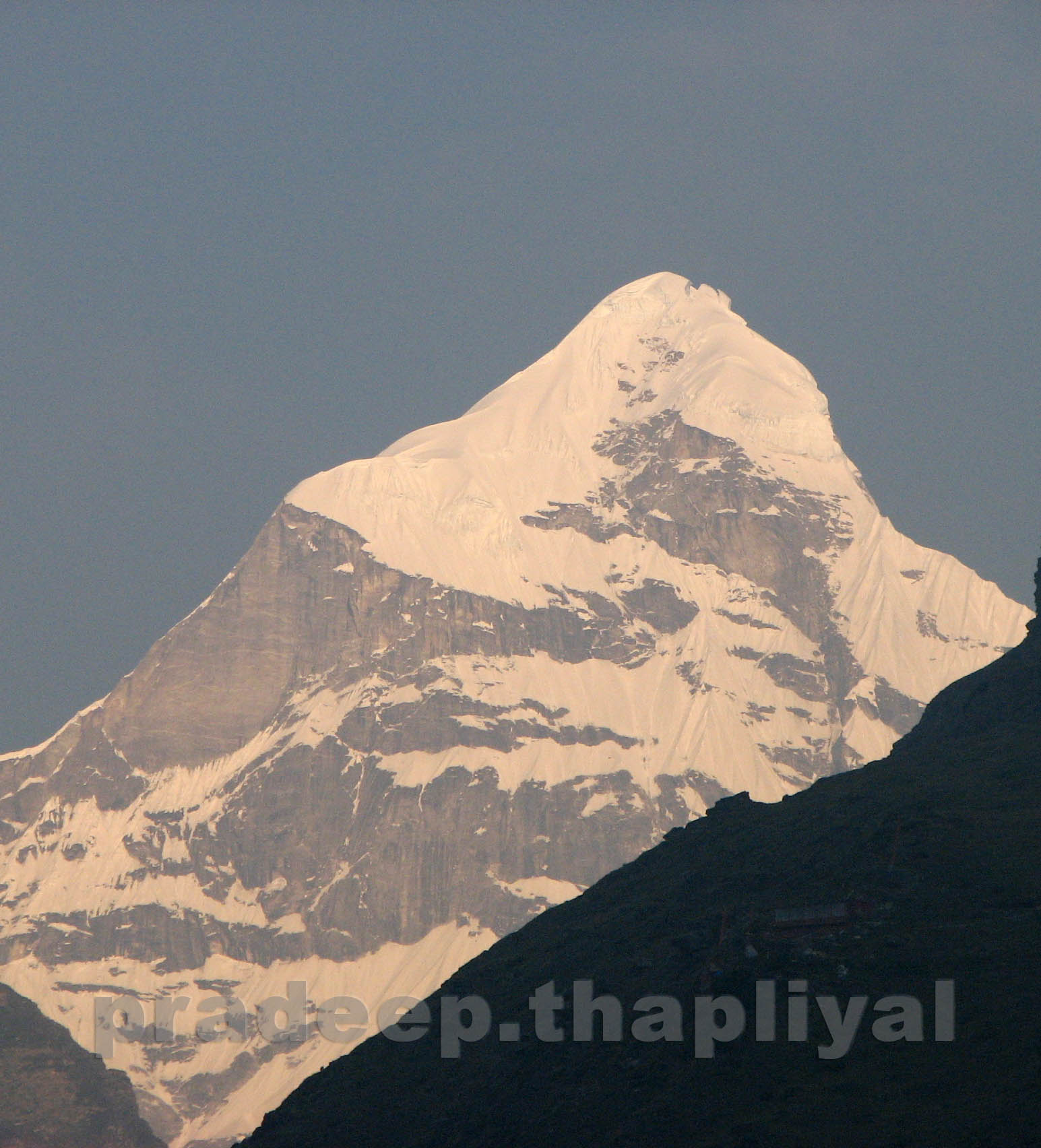
Neelkanth, view from Badrinath

Govindghat comes into view

Early morning first view

Hathi Parvat, Ghori Parvat: Kapadia0163
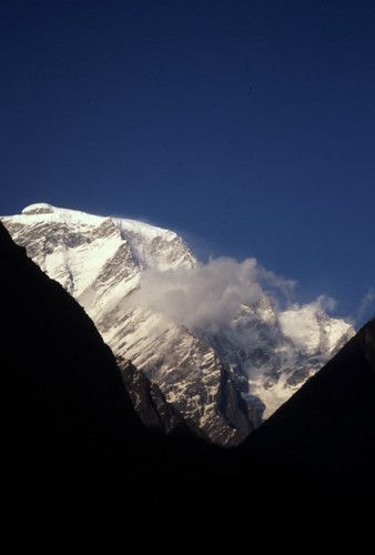
Hathi Parvat: Kapadia0164
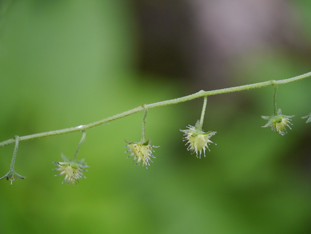
¿ Hackelia uncinata ?
Topographic Map of Valley of Flowers National Park, Uttarakhand, India
Find elevation by address:

Places near Valley of Flowers National Park, Uttarakhand, India:
Nar Parvat
Badrinath
Badrinath Temple
Govind Ghat
Mana
Joshimath
Kamet
Auli Resort
Nilkantha
Abi Gamin
Auli Laga Salude
Gorson Bugyal
Avalanche Peak
Tapovan
Niti
Suki
Balakun
Malari
Dronagiri
Bhagirath Kharak Glacier
Recent Searches:
- Elevation of Corso Fratelli Cairoli, 35, Macerata MC, Italy
- Elevation of Tallevast Rd, Sarasota, FL, USA
- Elevation of 4th St E, Sonoma, CA, USA
- Elevation of Black Hollow Rd, Pennsdale, PA, USA
- Elevation of Oakland Ave, Williamsport, PA, USA
- Elevation of Pedrógão Grande, Portugal
- Elevation of Klee Dr, Martinsburg, WV, USA
- Elevation of Via Roma, Pieranica CR, Italy
- Elevation of Tavkvetili Mountain, Georgia
- Elevation of Hartfords Bluff Cir, Mt Pleasant, SC, USA