Elevation of Kamet, Uttarakhand
Location: India >
Longitude: 79.5902824
Latitude: 30.9198246
Elevation: 7461m / 24478feet
Barometric Pressure: 38KPa
Elevation Map:
Satellite Map:
Related Photos:
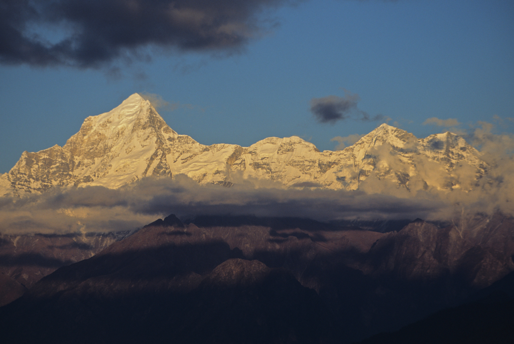
Dronagiri (7066mt)- Eastern Garhwal Himal, Uttaranchal, India.
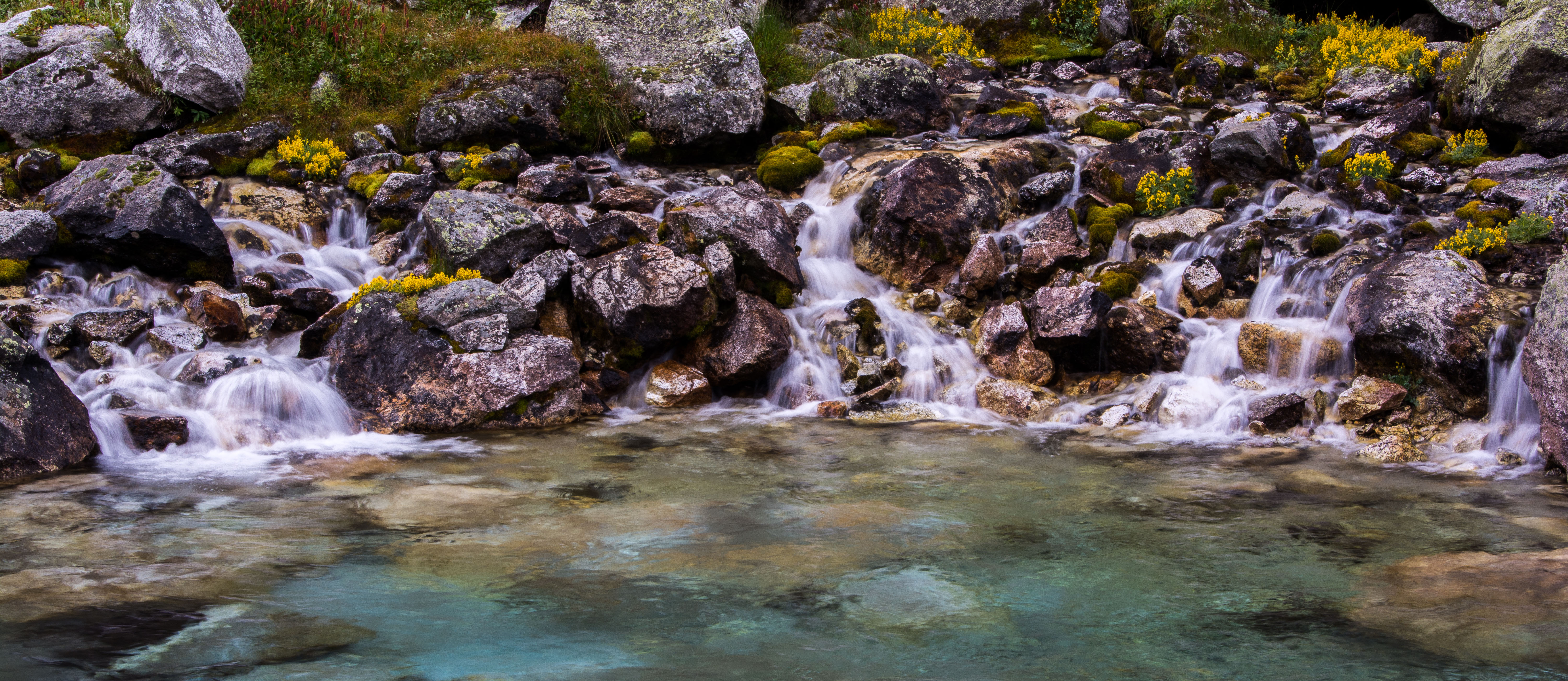
Nag Tal, Ghastoli
Topographic Map of Kamet, Uttarakhand
Find elevation by address:

Places near Kamet, Uttarakhand:
Abi Gamin
Mana
Nar Parvat
Valley Of Flowers National Park
Badrinath Temple
Badrinath
Avalanche Peak
Nilkantha
Niti
Balakun
Govind Ghat
Bhagirath Kharak Glacier
Chaukhamba
Joshimath
Malari
Auli Resort
Auli Laga Salude
Gorson Bugyal
Suki
Dronagiri
Recent Searches:
- Elevation of Corso Fratelli Cairoli, 35, Macerata MC, Italy
- Elevation of Tallevast Rd, Sarasota, FL, USA
- Elevation of 4th St E, Sonoma, CA, USA
- Elevation of Black Hollow Rd, Pennsdale, PA, USA
- Elevation of Oakland Ave, Williamsport, PA, USA
- Elevation of Pedrógão Grande, Portugal
- Elevation of Klee Dr, Martinsburg, WV, USA
- Elevation of Via Roma, Pieranica CR, Italy
- Elevation of Tavkvetili Mountain, Georgia
- Elevation of Hartfords Bluff Cir, Mt Pleasant, SC, USA