Elevation of Joshimath, Uttarakhand, India
Location: India > Uttarakhand > Chamoli >
Longitude: 79.5659633
Latitude: 30.5505524
Elevation: 2045m / 6709feet
Barometric Pressure: 79KPa
Elevation Map:
Satellite Map:
Related Photos:
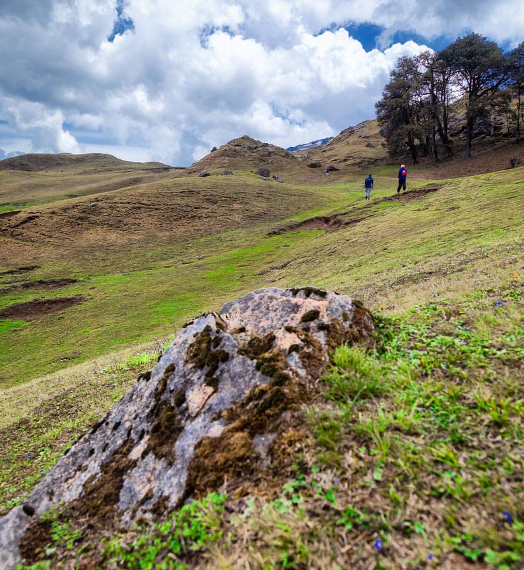
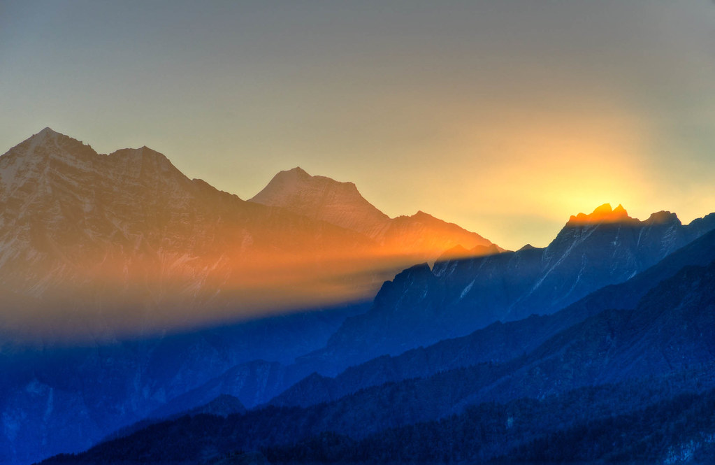
The views of an overshadowed Bugyal beyond Auli where we were hiking up to, but had to be back because of a heavy downpour right after this shot.

... a view near Ghangaria

Early morning first view

Wide Angle view

Hathi Parvat, Ghori Parvat: Kapadia0163

Govindghat comes into view

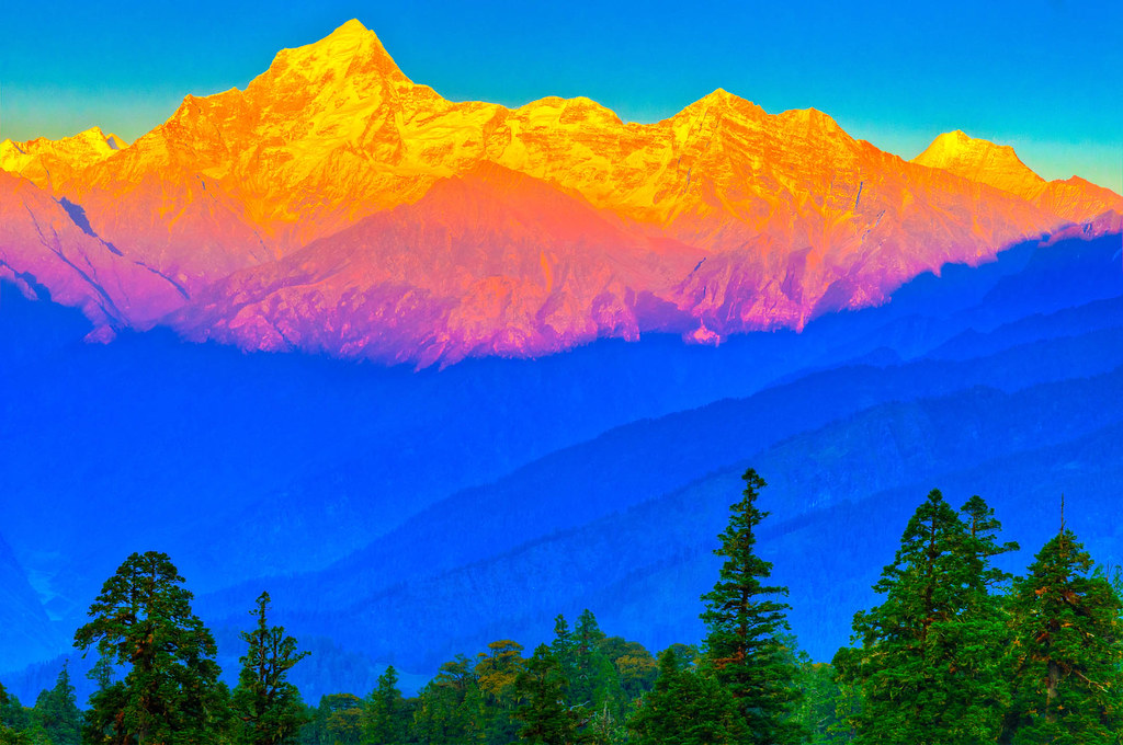
... view from Auli

... viewing landslide affected area at Tangani

View from Kuari Pass
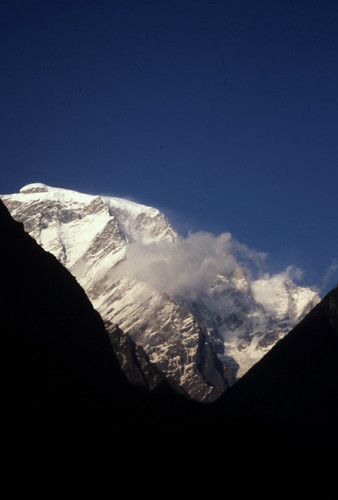
Hathi Parvat: Kapadia0164

IND11-4067-20111011And4more.jpg

IND11-4593-20111013And4more.jpg

IND11-4392-20111012And4more.jpg

Mountain Path | Joshimath, Gharwal Himalaya, Uttarakhand, North India 2013

Pondok Batu di Lereng Gunung | Joshimath, Gharwal Himalaya, Uttarakhand, North India 2013
IND11-4352-20111012And4more.jpg

IND11-4082-20111011And4more.jpg

IMG_6617 edit1

IND11-4516-20111013And4more.jpg
IND11-4574-20111013And4more.jpg

IND11-3896-20111011.jpg

IND11-3897-20111011.jpg

IND11-4603-20111013And4more.jpg

Postcard from Auli

IND11-3589-20111010And6more.jpg
IND11-4521-20111013And4more.jpg

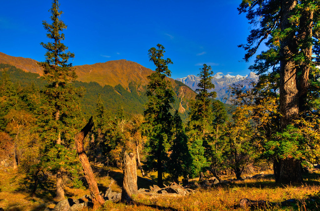
Springtime in Himalaya | Joshimath, Gharwal Himalaya, Uttarakhand, North India 2013. #Joshimath #Uttarakhand #India #Himalaya #Spring

IND11-4137-20111011And4more.jpg

Yellow Huts
Topographic Map of Joshimath, Uttarakhand, India
Find elevation by address:

Places near Joshimath, Uttarakhand, India:
Auli Resort
Auli Laga Salude
Gorson Bugyal
Govind Ghat
Tapovan
Suki
Valley Of Flowers National Park
Nar Parvat
Badrinath
Badrinath Temple
Mana
Nilkantha
Chamoli
Gopeshwar
Dronagiri
Dunagiri
Dasoli Kandai
Balakun
Maithana
Trisul
Recent Searches:
- Elevation of Corso Fratelli Cairoli, 35, Macerata MC, Italy
- Elevation of Tallevast Rd, Sarasota, FL, USA
- Elevation of 4th St E, Sonoma, CA, USA
- Elevation of Black Hollow Rd, Pennsdale, PA, USA
- Elevation of Oakland Ave, Williamsport, PA, USA
- Elevation of Pedrógão Grande, Portugal
- Elevation of Klee Dr, Martinsburg, WV, USA
- Elevation of Via Roma, Pieranica CR, Italy
- Elevation of Tavkvetili Mountain, Georgia
- Elevation of Hartfords Bluff Cir, Mt Pleasant, SC, USA