Elevation of Valley Cir, Black Canyon City, AZ, USA
Location: United States > Arizona > Yavapai County > Black Canyon City >
Longitude: -112.15650
Latitude: 34.0668793
Elevation: -10000m / -32808feet
Barometric Pressure: 295KPa
Elevation Map:
Satellite Map:
Related Photos:

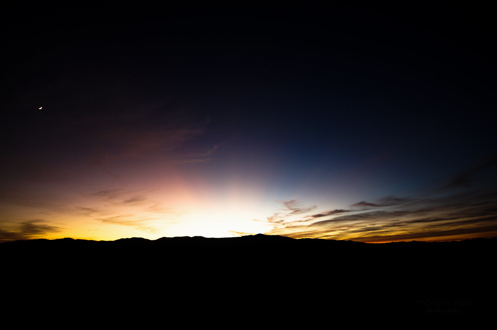
Sunset Point

Sunset Point

176. Mountain view along Table Mesa Road just east of the quarry

Storm Brewing At Sunset Point

silent evening

Sonoran Scene
Sunset Point

Afternoons Of The Round Table

Rock Springs Cafe - Dessert in the Desert !

Quarter View

95-View of dust storm in The Valley from north of Sunset Point 2_July 2012

Our Traditional Vacation Feet Shot

Wouldn't you rather stay at home and watch TV?

Black Canyon City

View from Sunset Point Rest Area

Interstate 17 Northbound Black Canyon Freeway approaching 1/2 = 0.5 mile to Exit 252 - Sunset Point Rest Area, Handicapped Accessible, Scenic View and Vending Machines with this roadside sign located at Black Canyon City, Arizona 85324.

Rest Stop view along I-17

After three hours of strenuous hike to the summit of Bear mountain, the views from the top were totally worth it

Interstate 17 Northbound Black Canyon Freeway approaches at Exit 252 - Sunset Point Rest Area is Open, Handicapped Accessible, Scenic View and Vending Machines followed by Next Rest Area 45 Miles with this roadside sign located at

Richinbar ET0920 view NW

96-View of dust storm in The Valley from south of Sunset Point 3_July 2012

The Road

West Facing Sunset Point

Bradshaw thunderstorm

2019_02_19_Black Canyon race aid station SNB -6

AZ Highways Monsoon Clouds

Table Mesa Rd Morning Hike

Table Mesa Rd Morning Hike

Great panorama of Sedona town from Airport hill

Table Mesa Rd Morning Hike
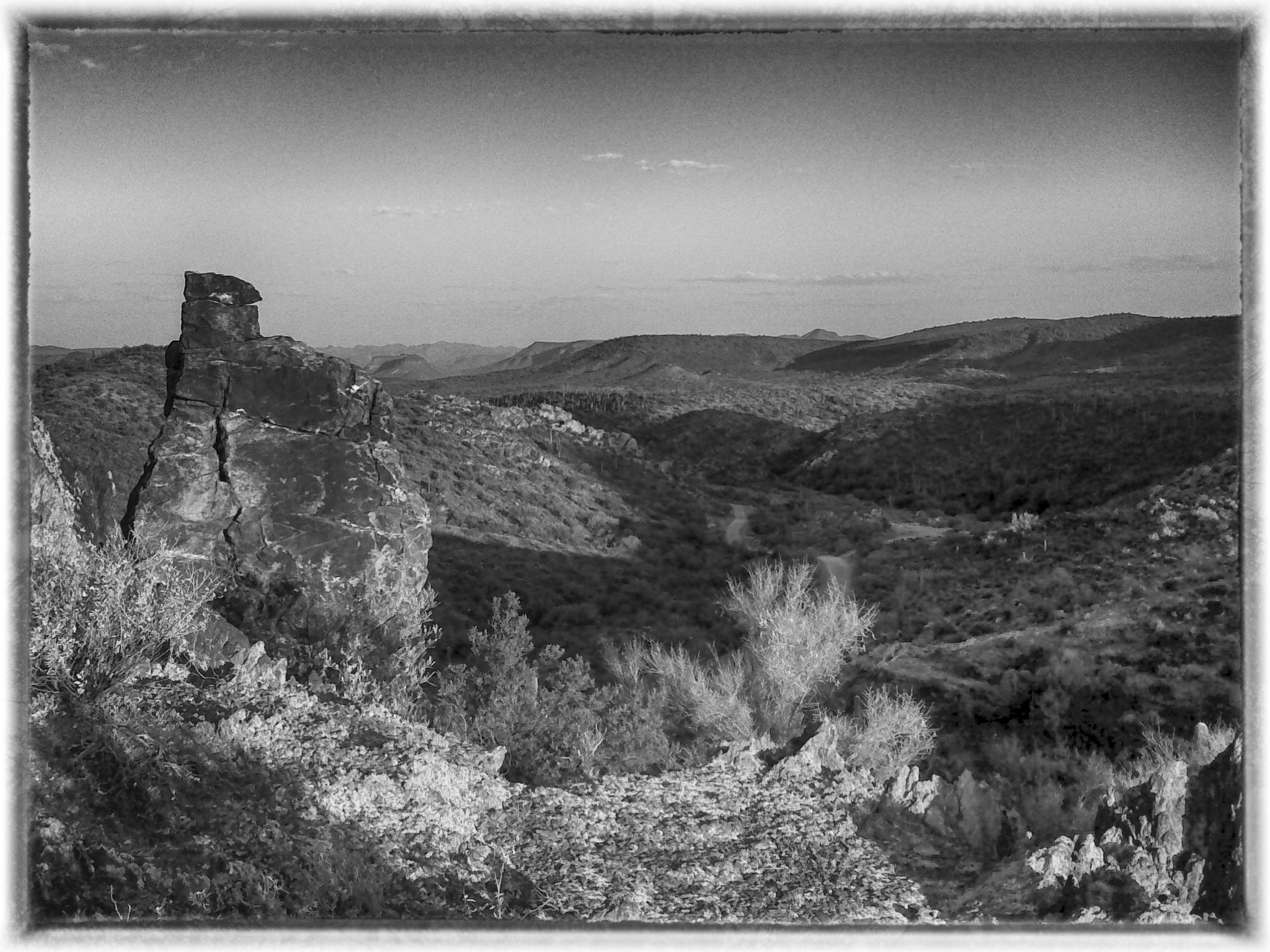
Table Mesa Rd Morning Hike

Panorama from the Sunset Point Rest Area
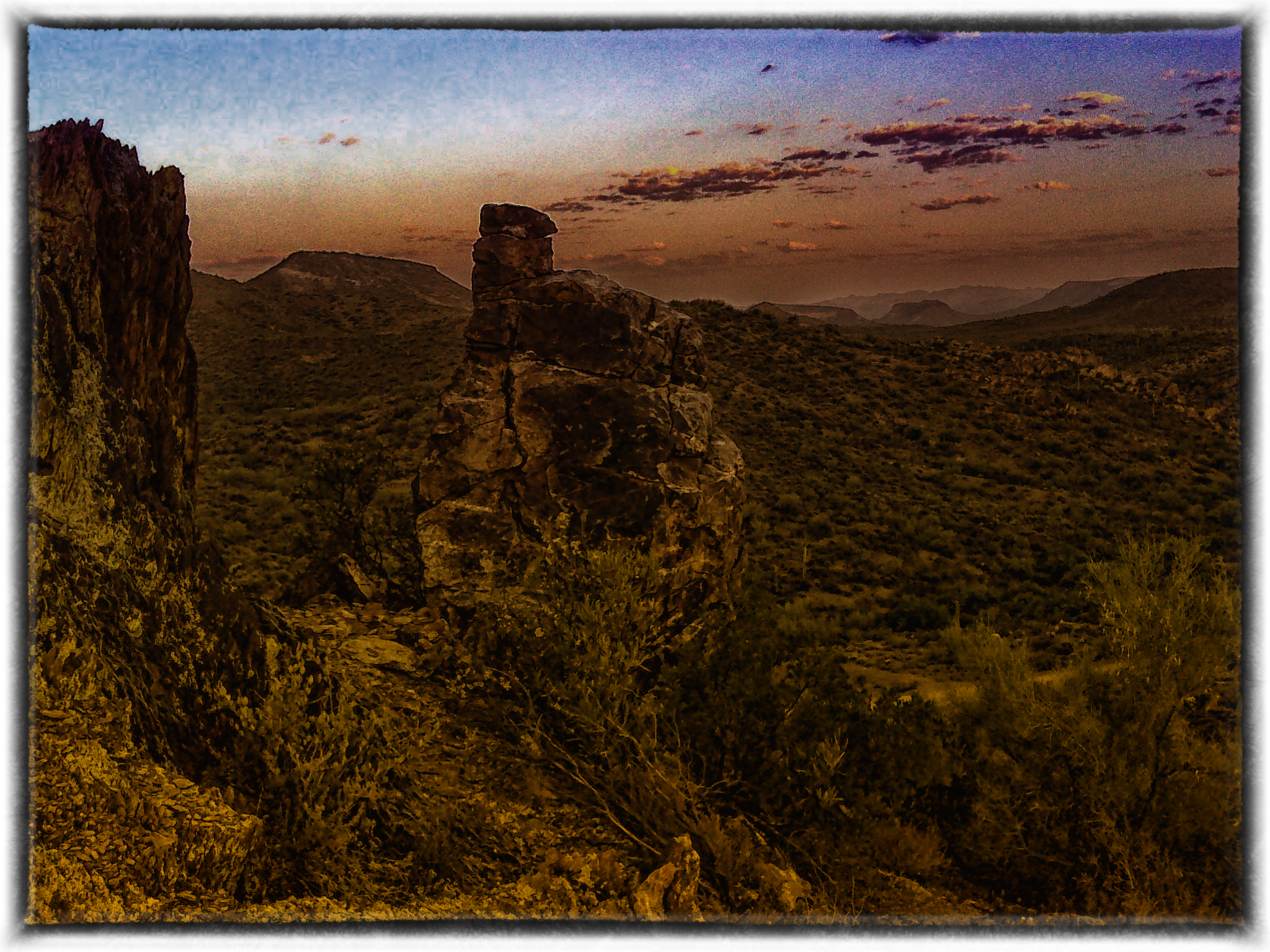
Table Mesa Rd Morning Hike

Table Mesa Area Arizona

Sunset Point, I17
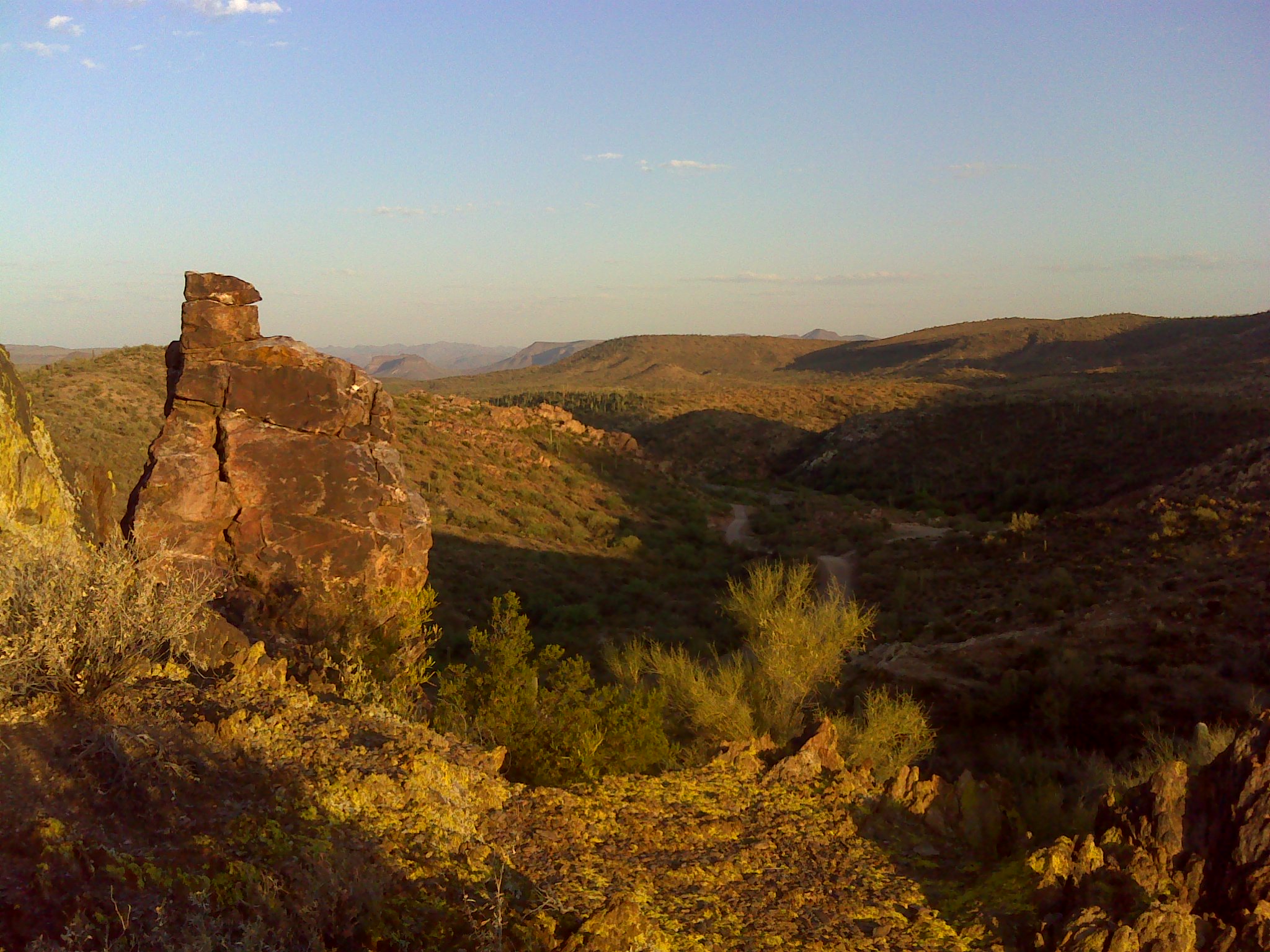
Table Mesa Rd Morning Hike

On the road again

Moores Gulch Hike
Topographic Map of Valley Cir, Black Canyon City, AZ, USA
Find elevation by address:

Places near Valley Cir, Black Canyon City, AZ, USA:
34410 Vladimir St
Black Canyon City
35190 April Dr
35246 Kings Way
19240 E Cactus Way
35769 Old Black Canyon Hwy
20851 E Squaw Valley Rd
32577 Shangrila Dr
Sunset Point
S Old Black Canyon Hwy, Mayer, AZ, USA
Bumble Bee
49629 N 11th Ave
49643 N 7th Ave
New River
West Wander Road
West Wander Road
1025 W Mingus Rd
3745 W Aracely Dr
34908 Cow Creek Rd
201 E Sabrosa Dr
Recent Searches:
- Elevation of 72-31 Metropolitan Ave, Middle Village, NY, USA
- Elevation of 76 Metropolitan Ave, Brooklyn, NY, USA
- Elevation of Alisal Rd, Solvang, CA, USA
- Elevation of Vista Blvd, Sparks, NV, USA
- Elevation of 15th Ave SE, St. Petersburg, FL, USA
- Elevation of Beall Road, Beall Rd, Florida, USA
- Elevation of Leguwa, Nepal
- Elevation of County Rd, Enterprise, AL, USA
- Elevation of Kolchuginsky District, Vladimir Oblast, Russia
- Elevation of Shustino, Vladimir Oblast, Russia