Elevation of E Sabrosa Dr, Phoenix, AZ, USA
Location: United States > Arizona > Maricopa County > New River >
Longitude: -112.07119
Latitude: 33.89432
Elevation: 643m / 2110feet
Barometric Pressure: 94KPa
Elevation Map:
Satellite Map:
Related Photos:

The evening view from Black Mountain.

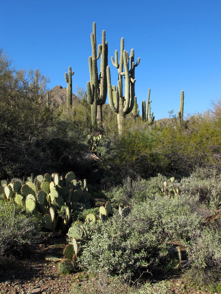
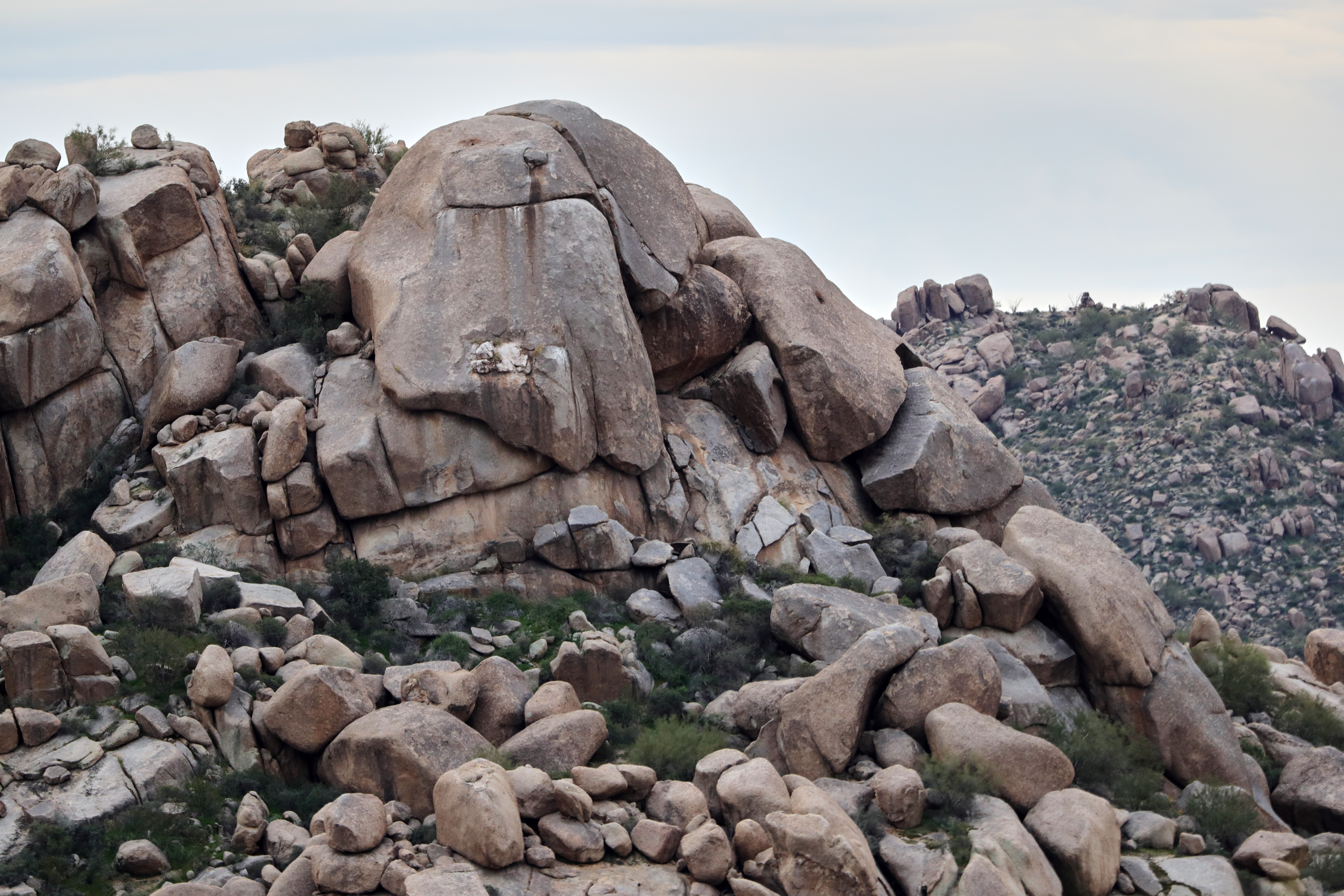
Land of the Giants

Cool Retro Diner Arrow Sign: Big Earl's Greasy Eats, Cave Creek, Close-up, West View

386. View toward New River Mesa along FR 41 further west of Robbers Roost Canyon

Social Media Marketing Mix

Elephant Mountain Sunrise

View to southwest approaching Black Mesa - Spur Cross
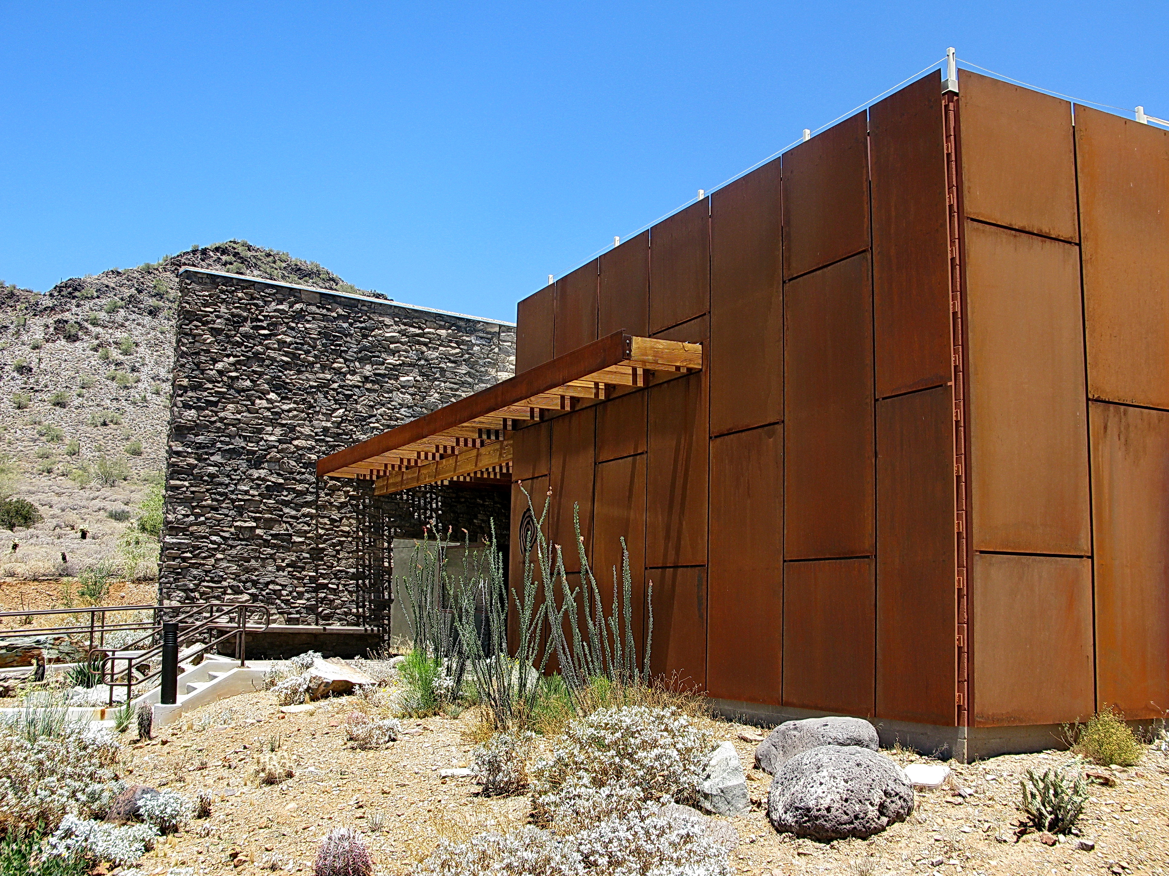
Cave Creek Recreation Area Nature Center

Cool Retro AZ Diner Sign: Big Earl's Greasy Eats, Cave Creek, View to the East
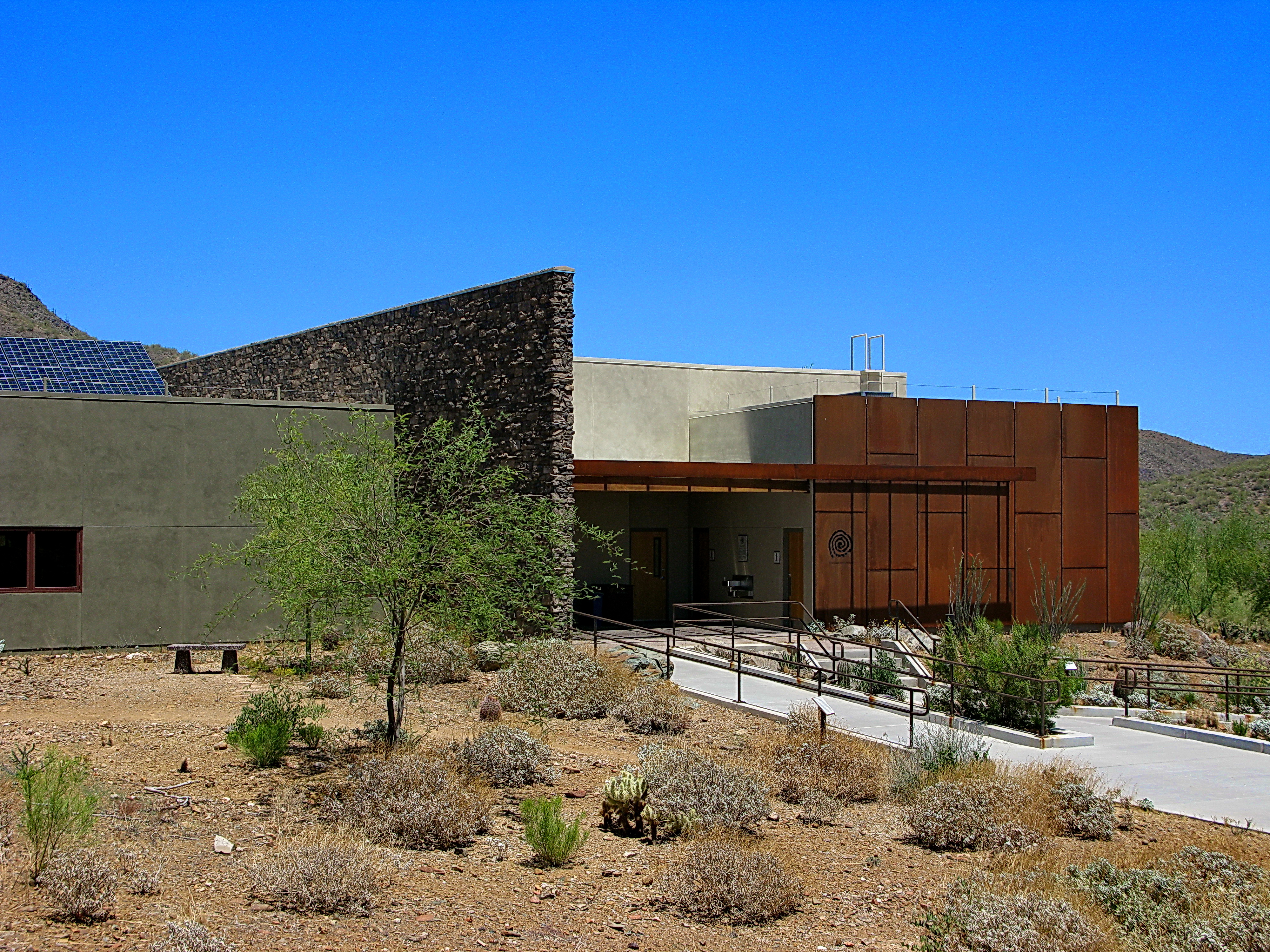
Cave Creek Recreation Area Nature Center
Desert Green Scene
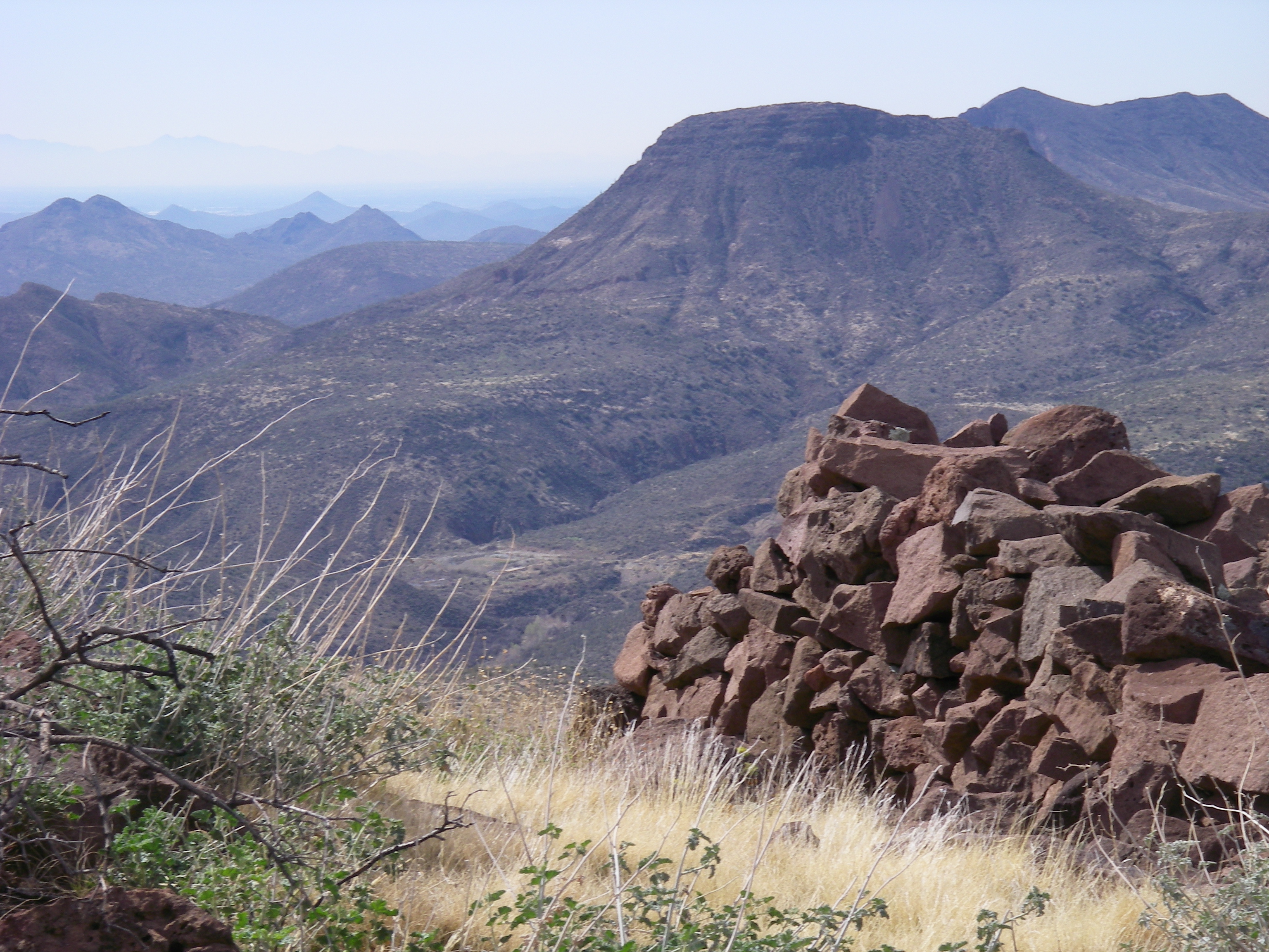
View from the Skull Mesa Fort

Harmony Hollow Ranch - whimsical fence - Cave Creek

My Final night in Arizona. Going to miss the awesome views, warm weather and early morning hikes with my hard-charging sister. #familyhike #hikes #vacation #optoutside #getoutandexplorenature #nature #trails #apachewash #apachewashtrail #cactus #desert #

Sugarloaf Mountain and Skull Mesa from Black Mesa Trail - Spur Cross

In the Wash (Closeup)
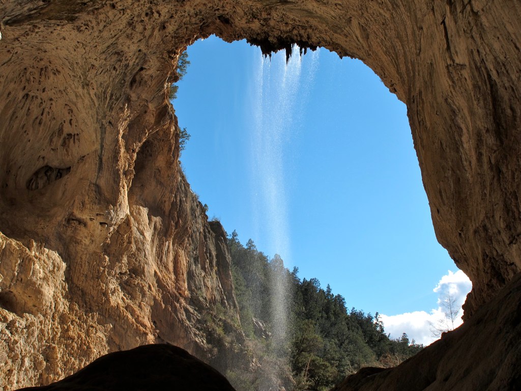
39. A landscape view looking south from underneath the Tonto Natural Bridge
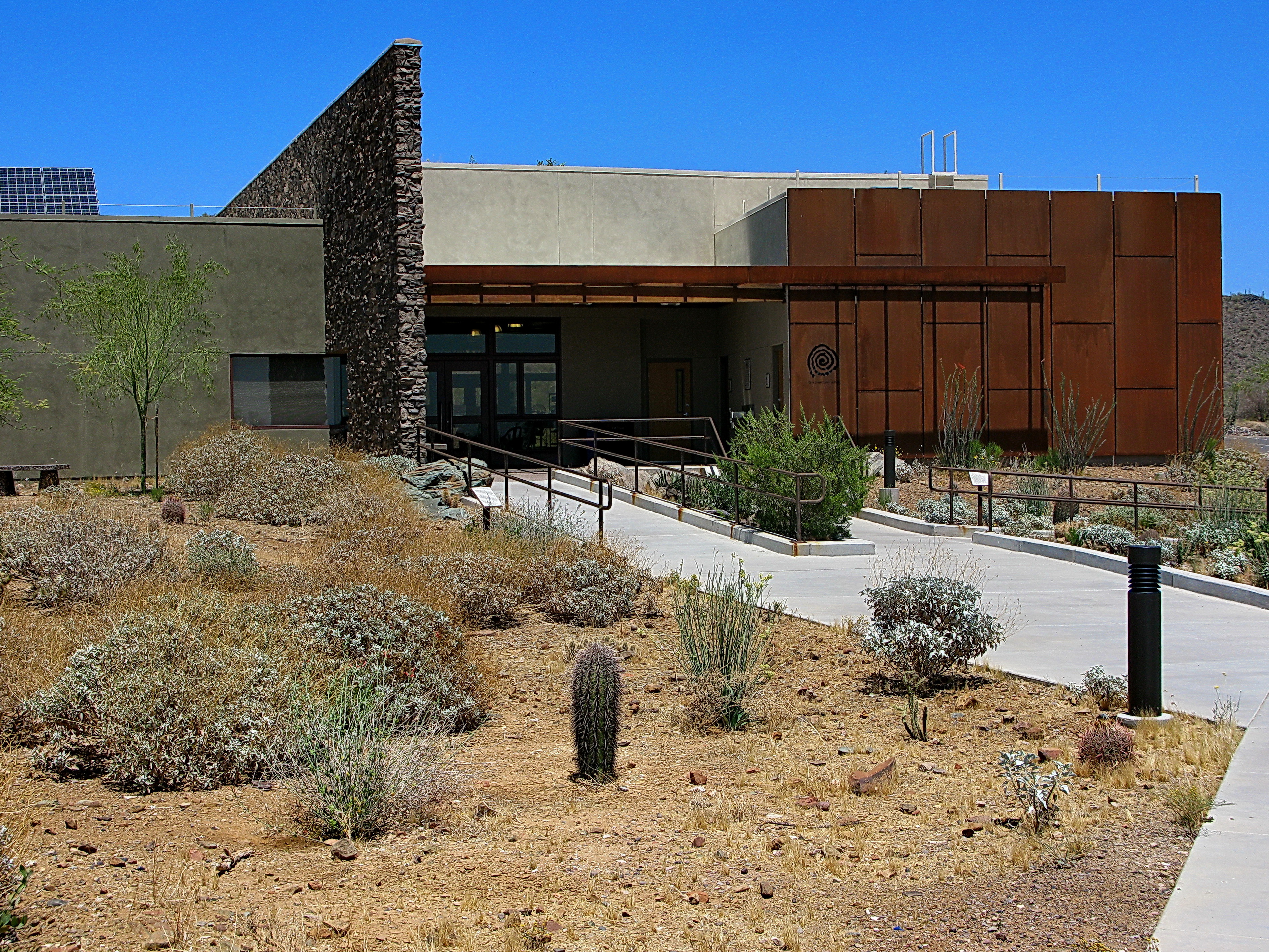
Cave Creek Recreation Area Nature Center

Adventures in Wildflowerland
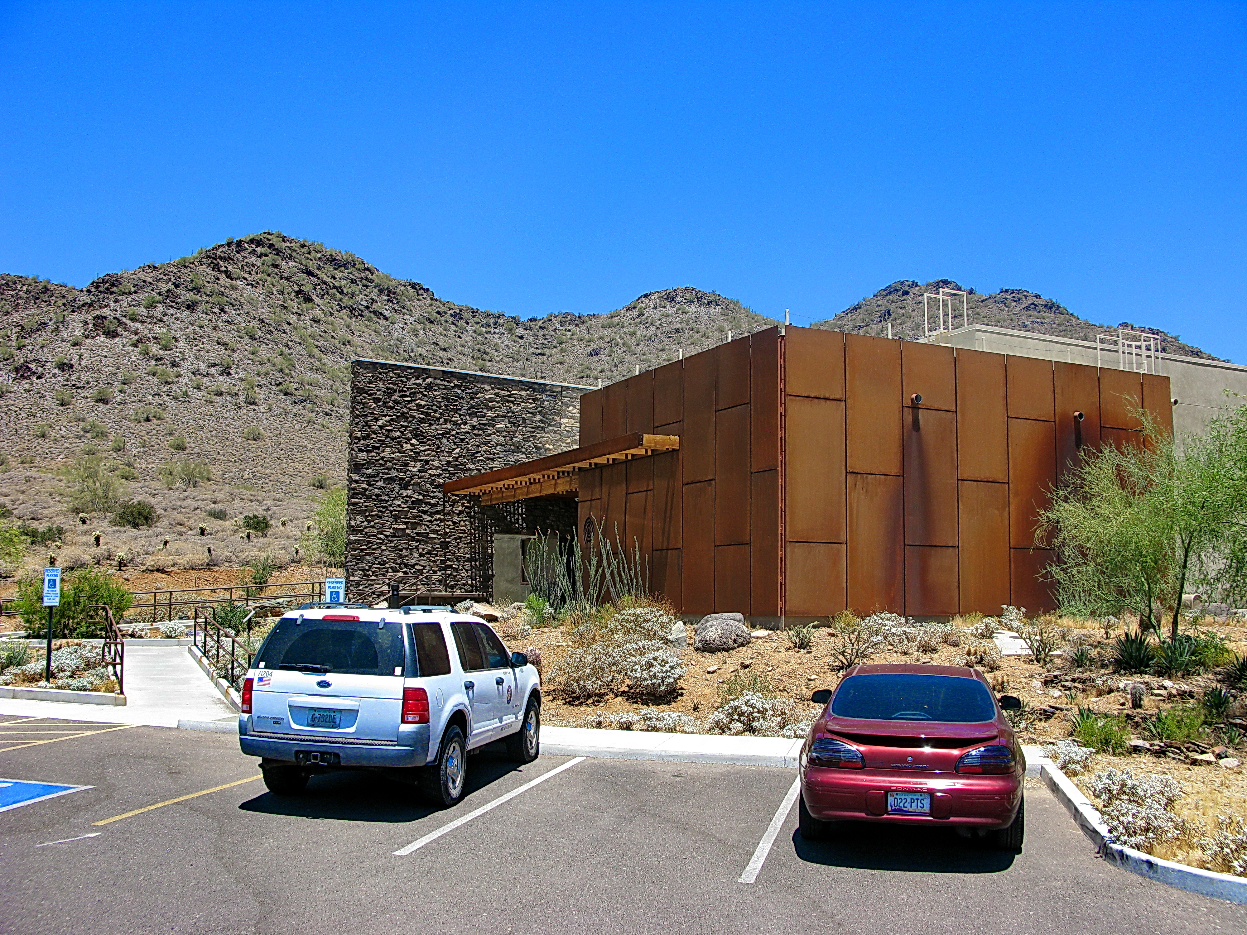
Cave Creek Recreation Area Visitor Center - LEED Certified
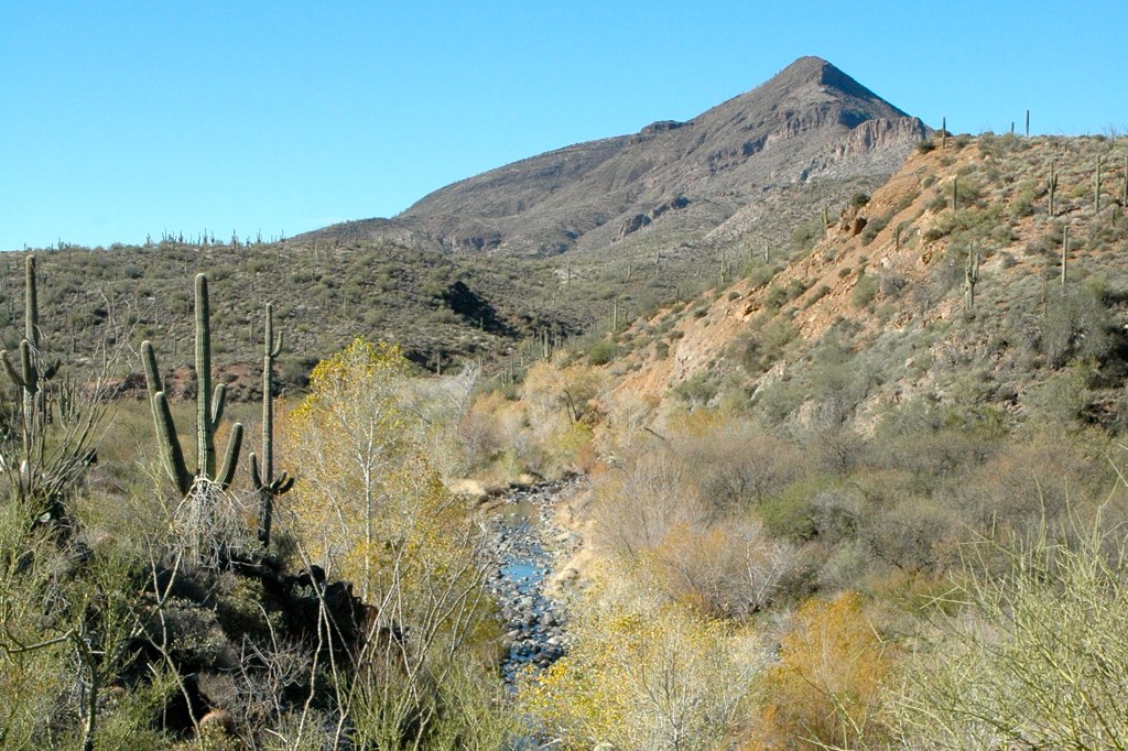
Water Course
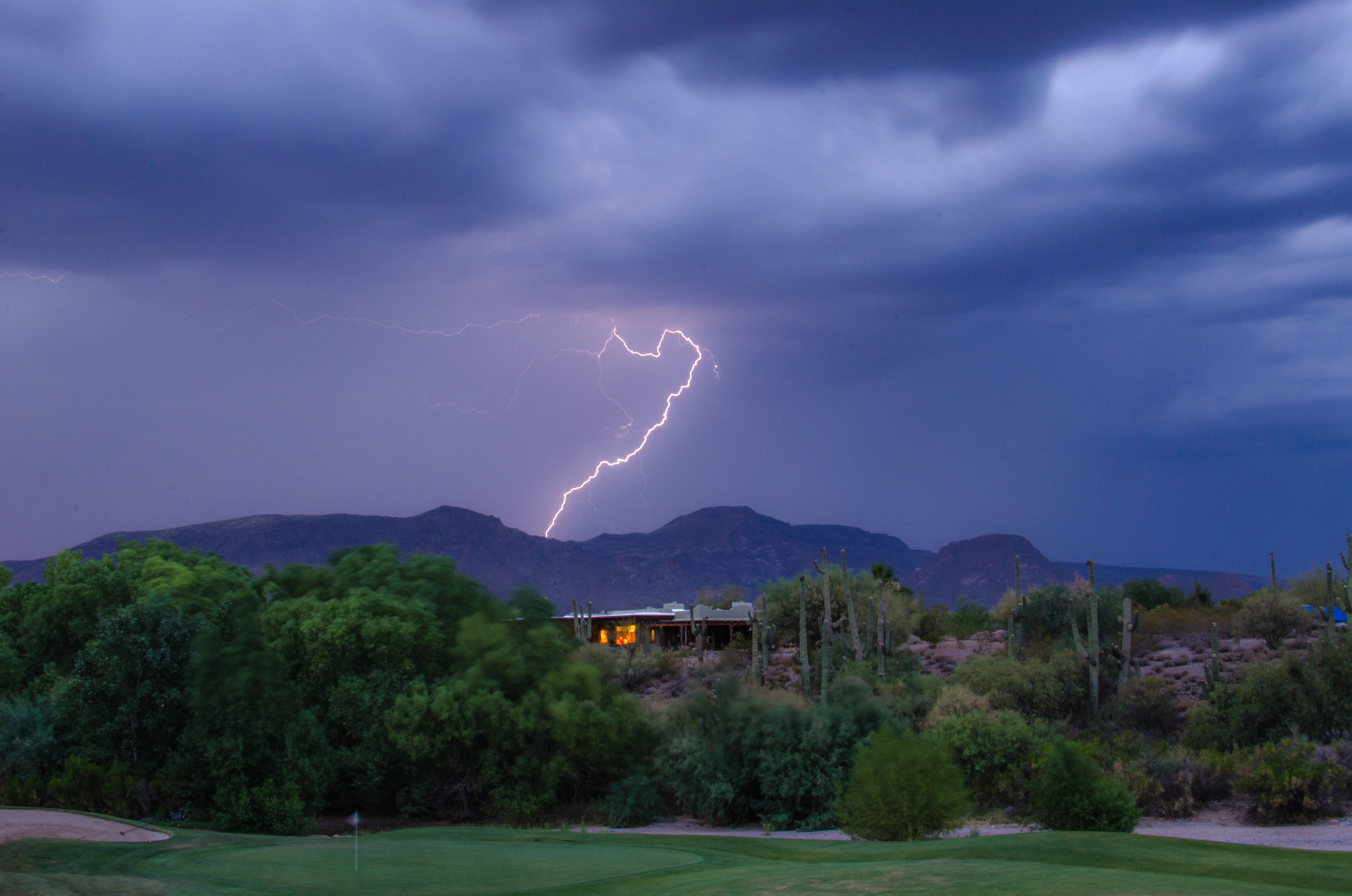
Lightning from Cave Creek
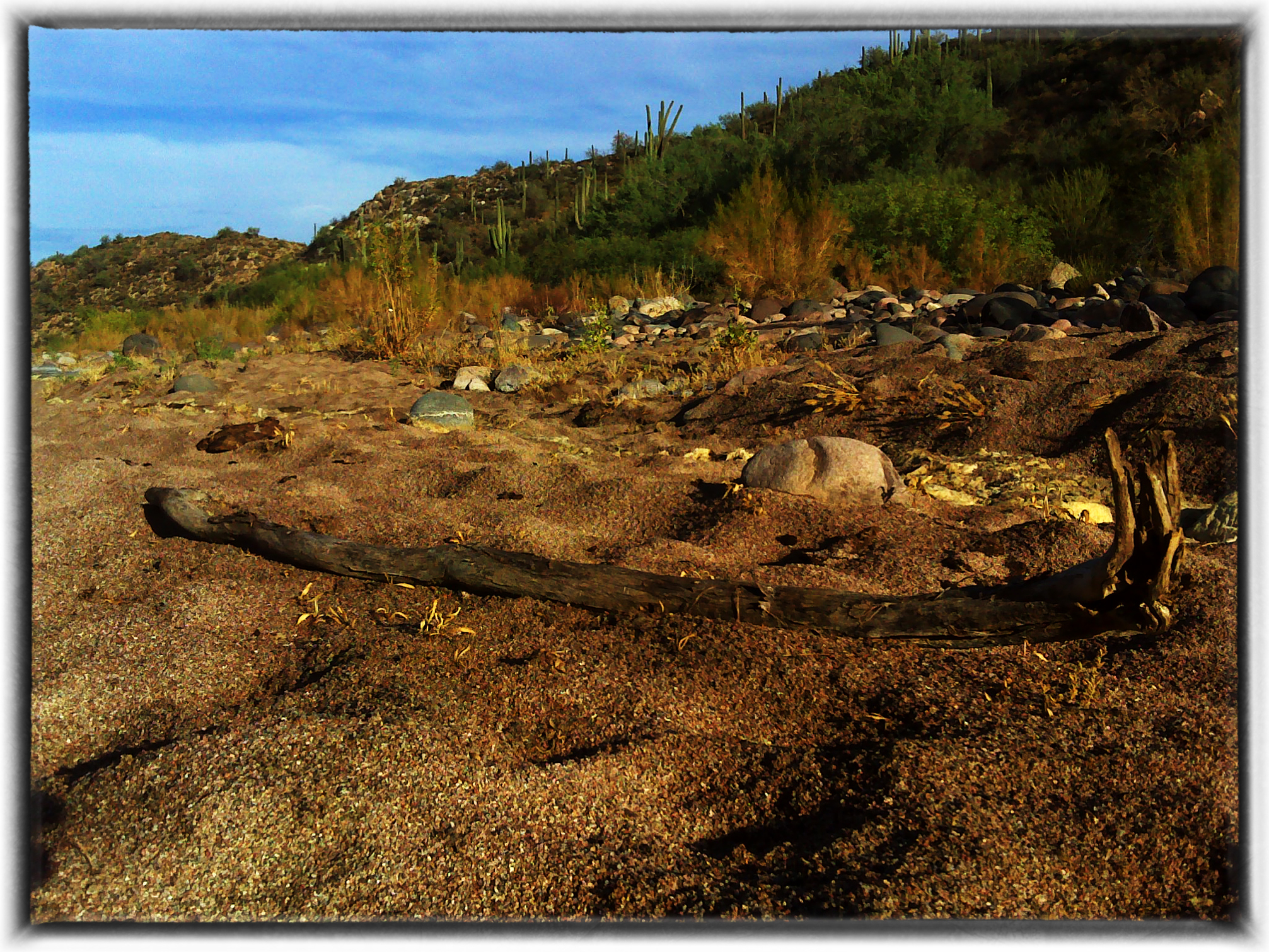
Table Mesa Area Arizona
01-09-19-0044044
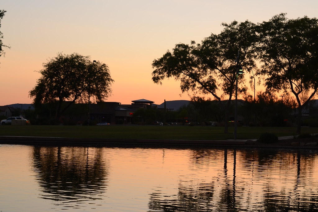
Anthem Sunset

Xavi on Black Canyon Trail
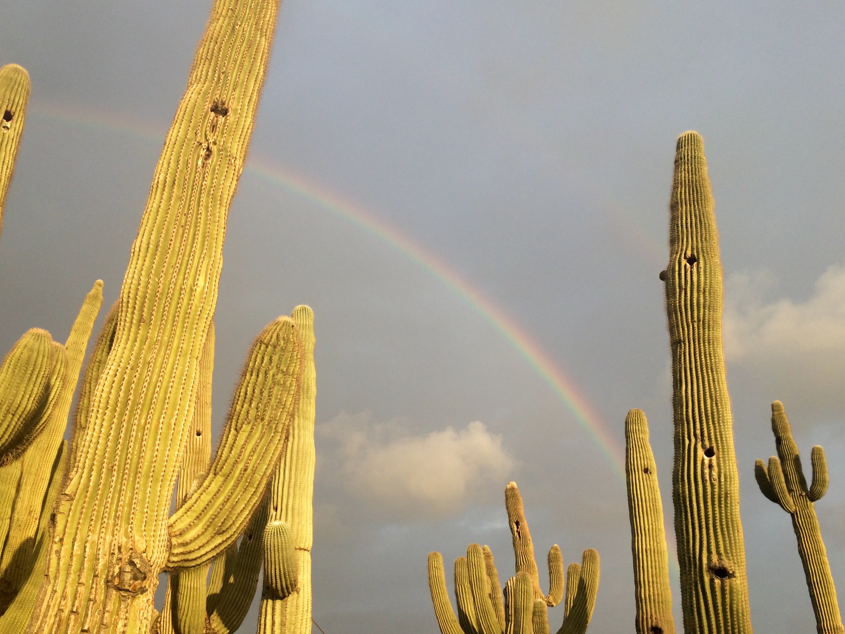
Rainbow and Saguaros
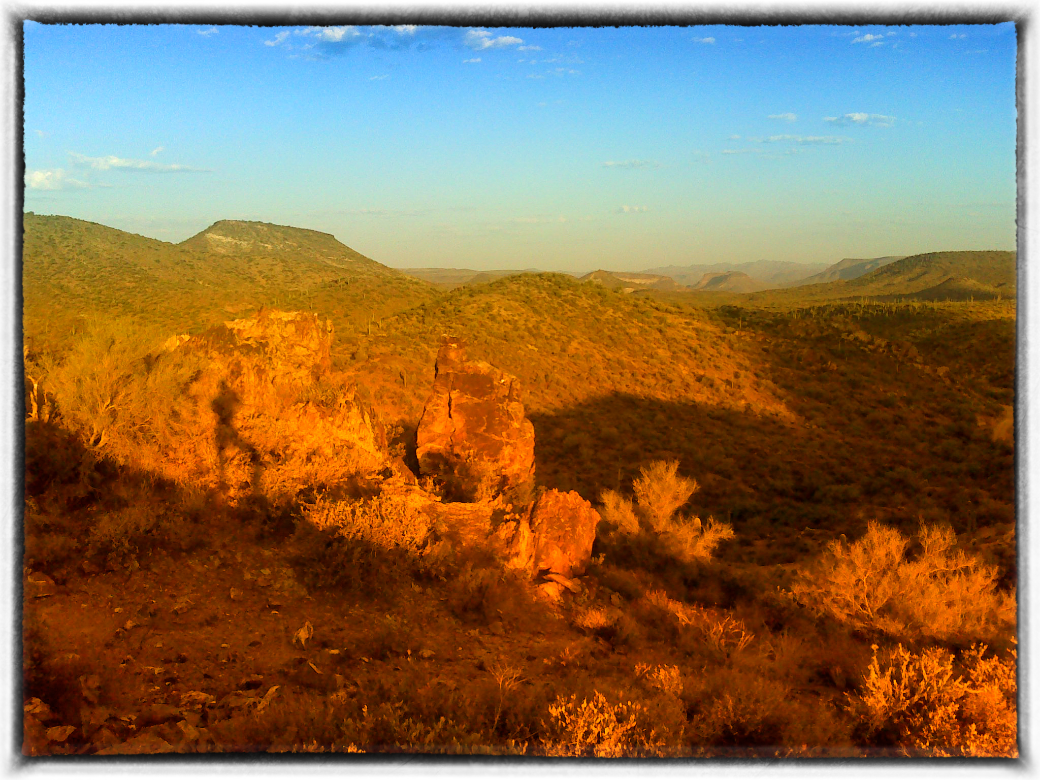
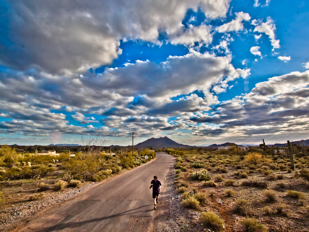
Table Mesa Rd Morning Hike
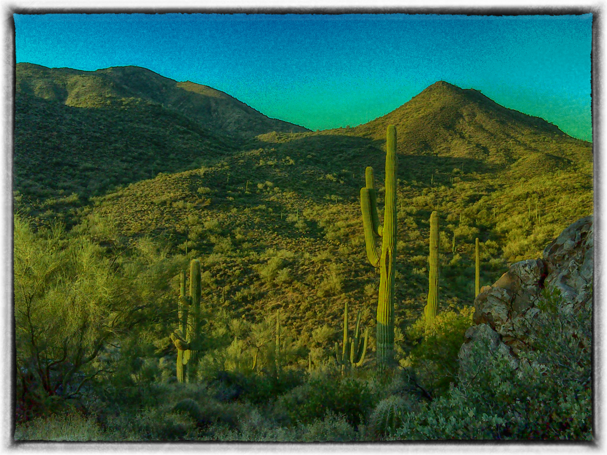
Table Mesa Rd Morning Hike
Welcome to Arizona. Here's a (tone)Map of the Area!

Table Mesa Rd Morning Hike
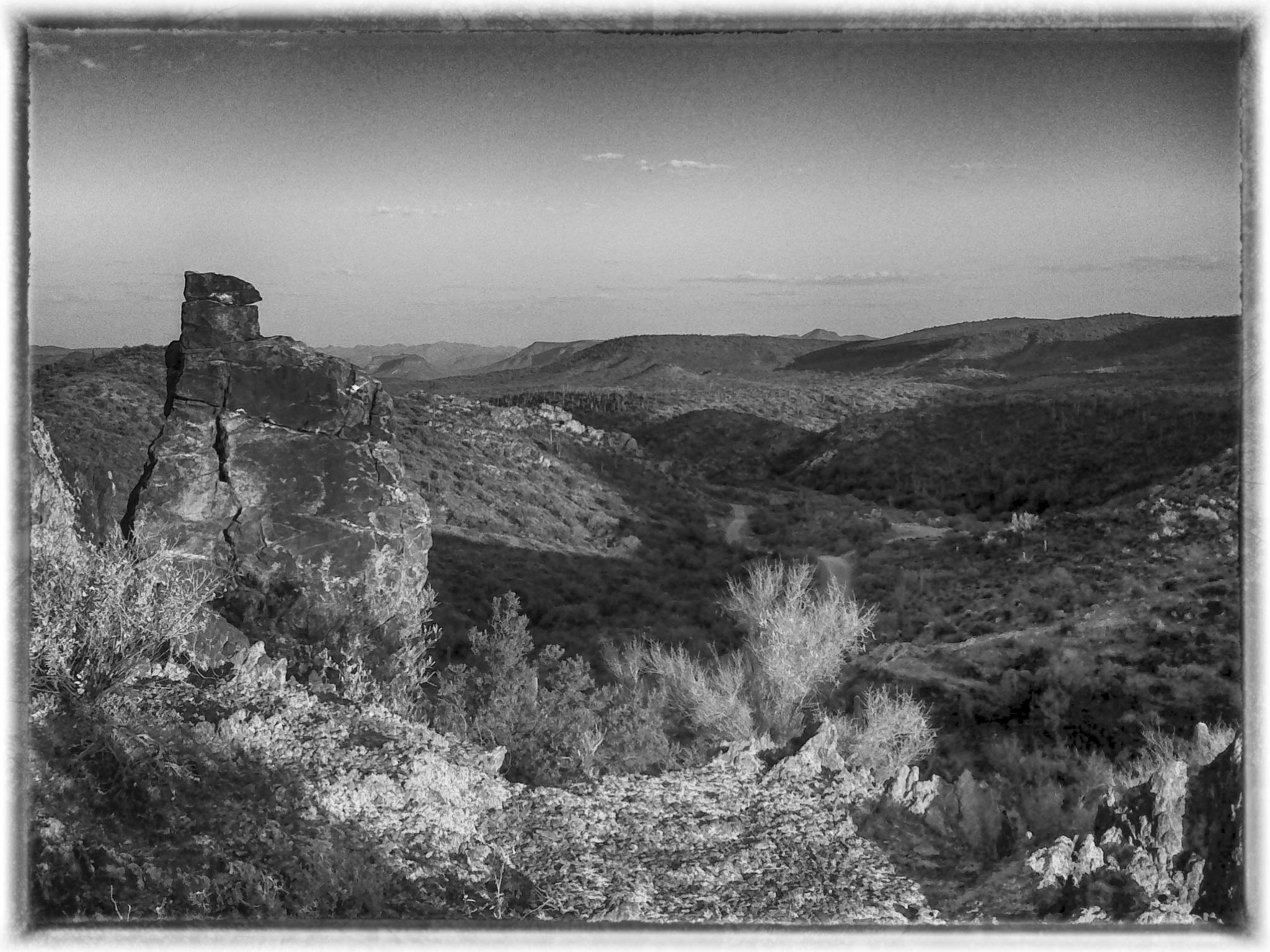
Table Mesa Rd Morning Hike
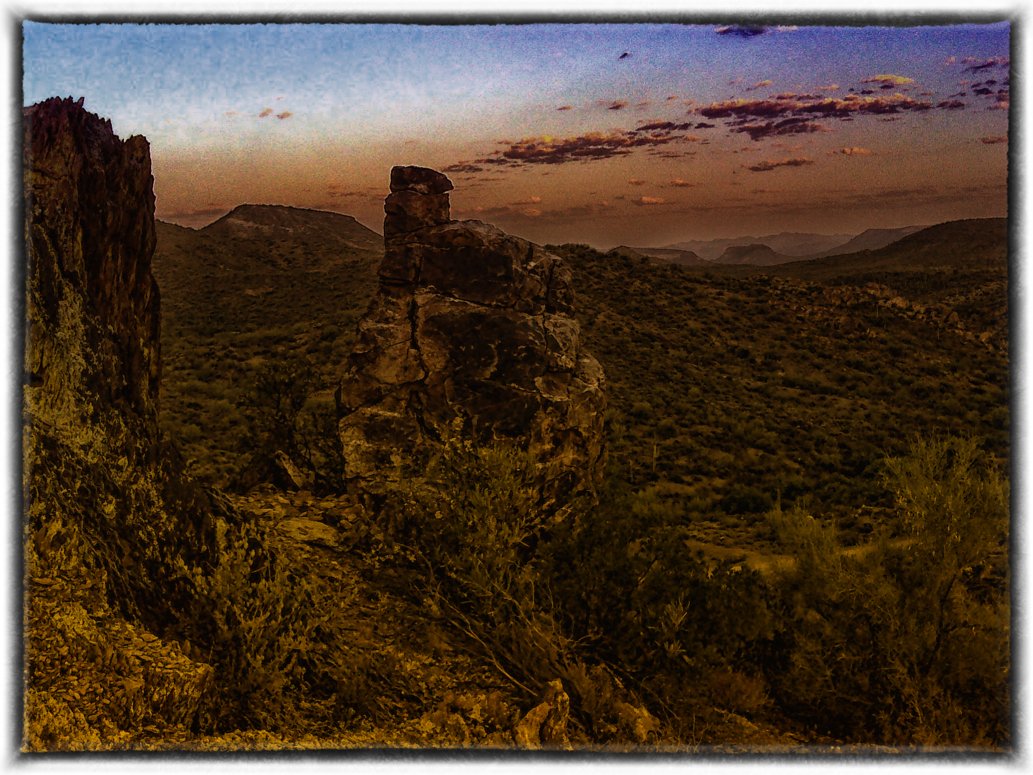
Table Mesa Rd Morning Hike

Hard life...
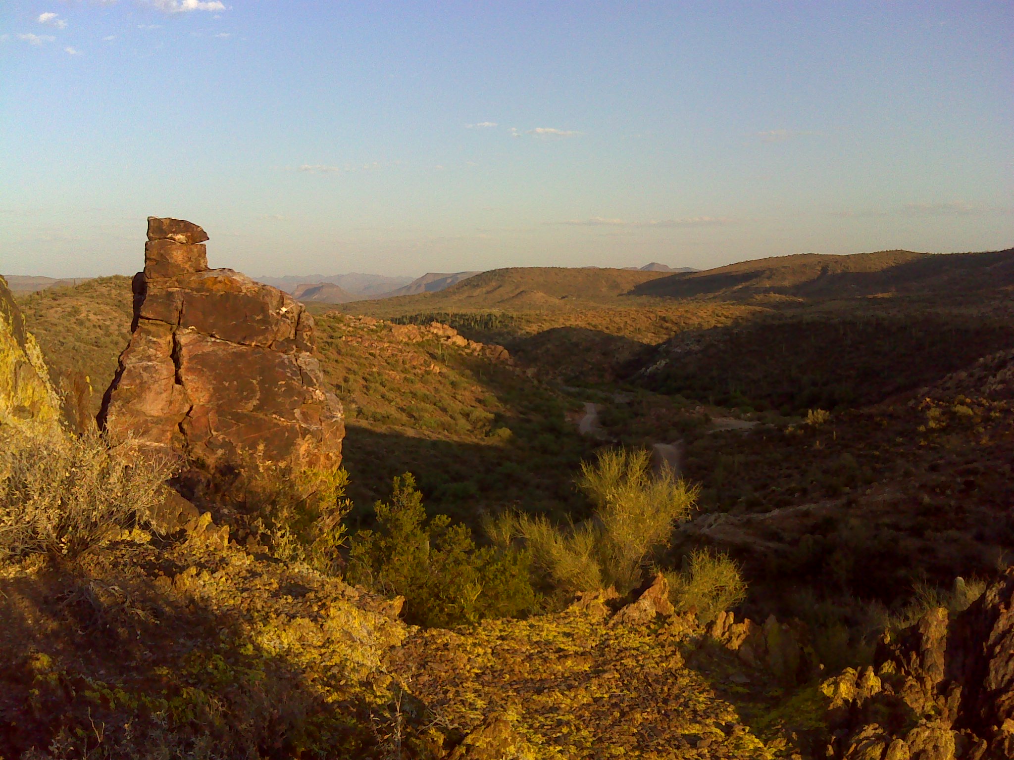
Table Mesa Rd Morning Hike
Moores Gulch Hike
Topographic Map of E Sabrosa Dr, Phoenix, AZ, USA
Find elevation by address:

Places near E Sabrosa Dr, Phoenix, AZ, USA:
44422 N 12th St
1010 E Magellan Dr
44814 N 16th St
42800 N 8th St
42422 N 7th St
44427 N 16th St
42227 N 7th St
42219 N 7th St
45319 N 18th St
42707 N 14th St
916 W Ravina Ln
45009 N 20th St
909 W Hazelhurst Dr
2030 E Cavalry Rd
42225 N Olympic Fields Ct
44603 N 22nd St
41606 N Signal Hill Ct
42501 N Crosswater Way
40409 N New River Rd
40712 N Long Landing Ct
Recent Searches:
- Elevation of Alisal Rd, Solvang, CA, USA
- Elevation of Vista Blvd, Sparks, NV, USA
- Elevation of 15th Ave SE, St. Petersburg, FL, USA
- Elevation of Beall Road, Beall Rd, Florida, USA
- Elevation of Leguwa, Nepal
- Elevation of County Rd, Enterprise, AL, USA
- Elevation of Kolchuginsky District, Vladimir Oblast, Russia
- Elevation of Shustino, Vladimir Oblast, Russia
- Elevation of Lampiasi St, Sarasota, FL, USA
- Elevation of Elwyn Dr, Roanoke Rapids, NC, USA