Elevation map of Val Verde County, TX, USA
Location: United States > Texas >
Longitude: -101.16173
Latitude: 29.8687682
Elevation: 519m / 1703feet
Barometric Pressure: 95KPa
Elevation Map:
Satellite Map:
Related Photos:
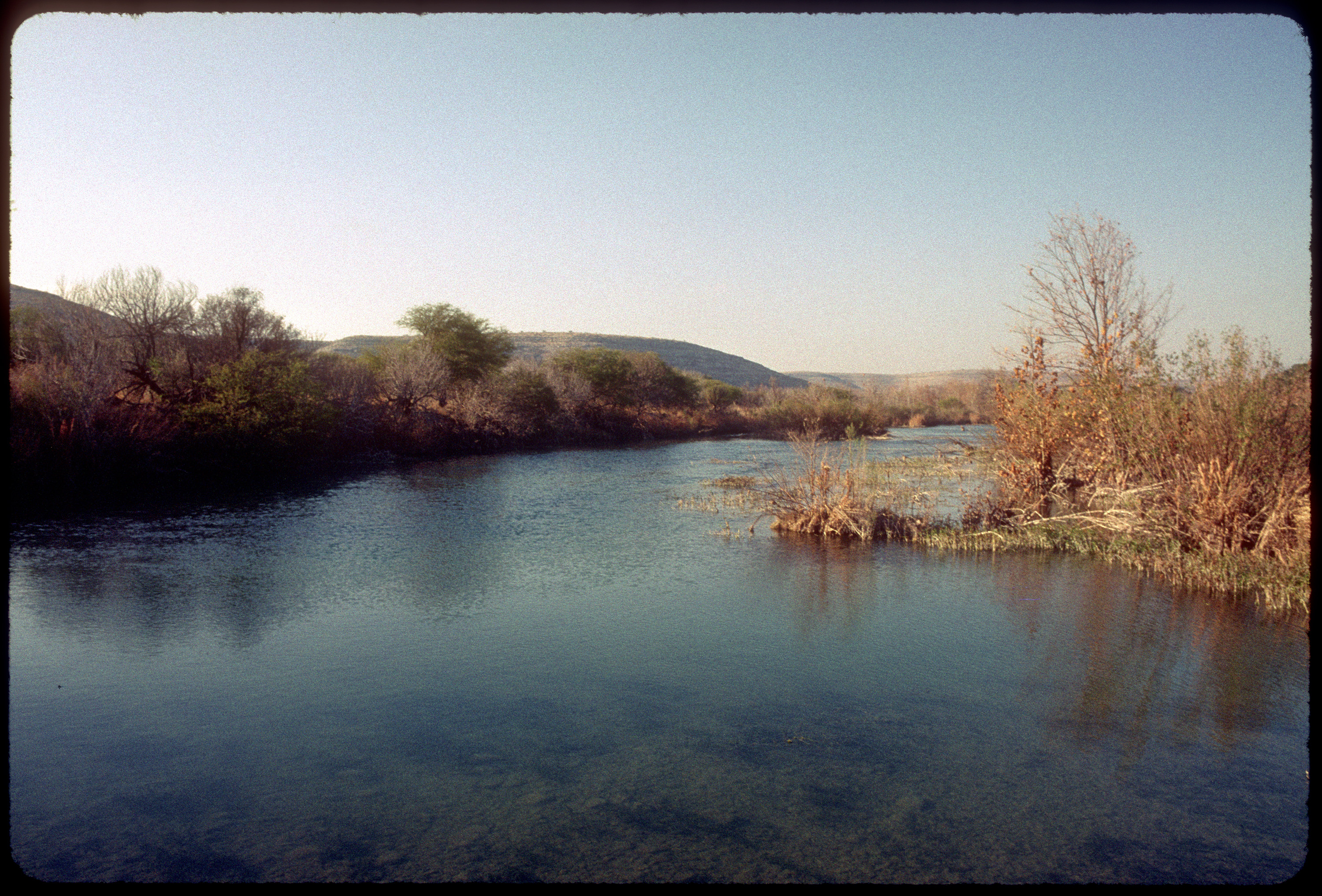
Devil's River

162. Dried

Day two start on the #devilsriver #photosbyrichard @natgeotravel

Tropical Parula

Tropical Parula
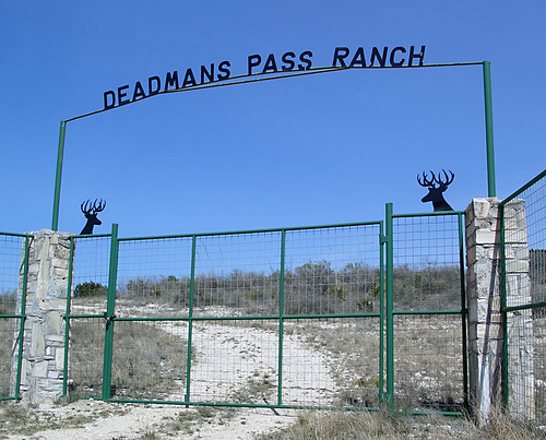
Deadmans Pass Ranch
Topographic Map of Val Verde County, TX, USA
Find elevation by address:

Places in Val Verde County, TX, USA:
Places near Val Verde County, TX, USA:
5020 Tx-163
Comstock
Shoreline Dr, Del Rio, TX, USA
TX-, Texas, USA
Carta Valley
Edwards County
Crockett County
Ozona
Ozona
410 Del Rio St
404 Martin St
407 Del Rio St
510 Amistad
509 W Chestnut St
802 Mesquite St
802 Mesquite St
Bob White Drive
203 Menard Ave
124 W Plum St
Sonora
Recent Searches:
- Elevation of 7 Waterfall Way, Tomball, TX, USA
- Elevation of SW 57th Ave, Portland, OR, USA
- Elevation of Crocker Dr, Vacaville, CA, USA
- Elevation of Pu Ngaol Community Meeting Hall, HWHM+3X7, Krong Saen Monourom, Cambodia
- Elevation of Royal Ontario Museum, Queens Park, Toronto, ON M5S 2C6, Canada
- Elevation of Groblershoop, South Africa
- Elevation of Power Generation Enterprises | Industrial Diesel Generators, Oak Ave, Canyon Country, CA, USA
- Elevation of Chesaw Rd, Oroville, WA, USA
- Elevation of N, Mt Pleasant, UT, USA
- Elevation of 6 Rue Jules Ferry, Beausoleil, France