Elevation of TX-, Texas, USA
Location: United States > Texas > Val Verde County >
Longitude: -101.10144
Latitude: 30.197924
Elevation: 542m / 1778feet
Barometric Pressure: 95KPa
Elevation Map:
Satellite Map:
Related Photos:
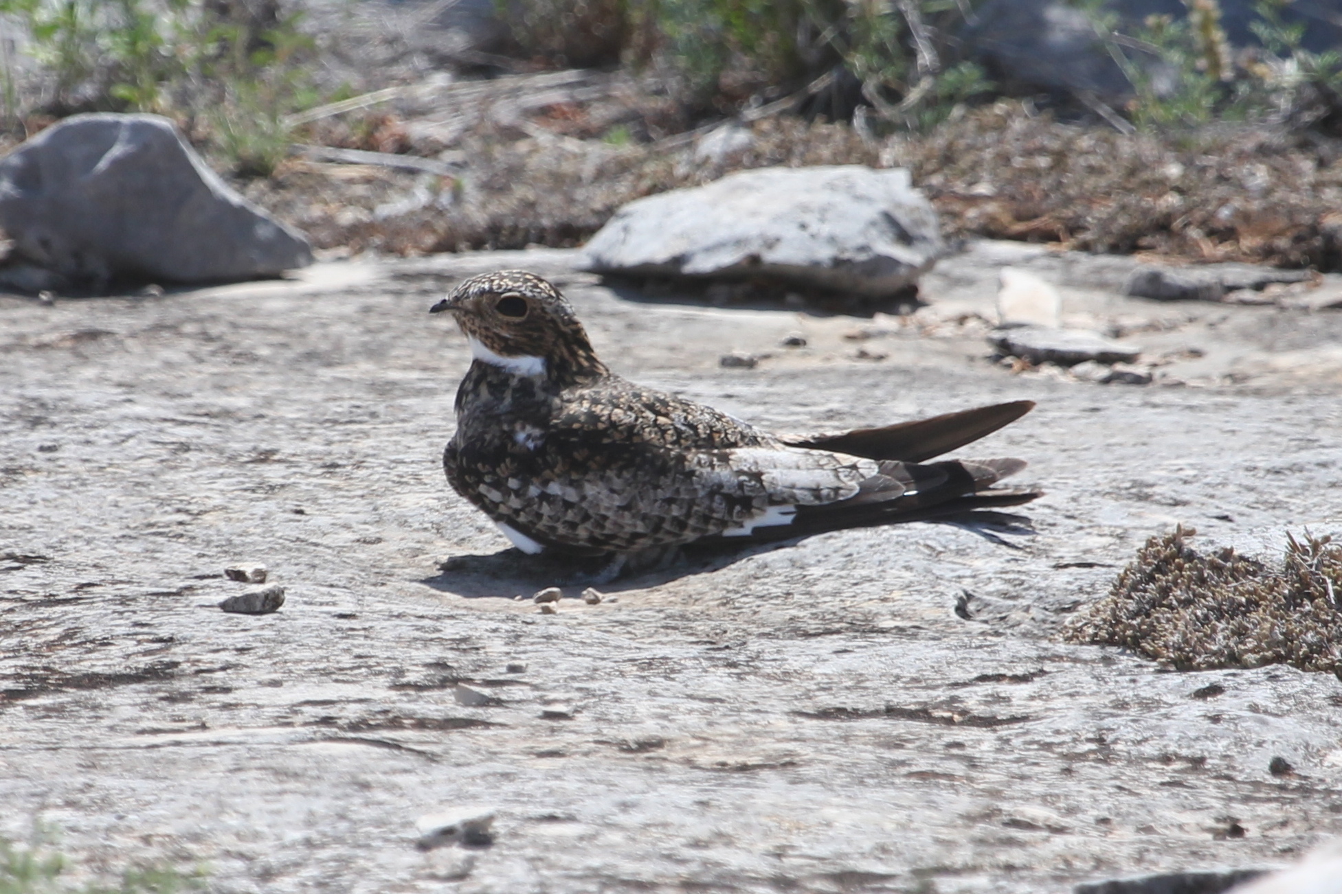
Common Nighthawk

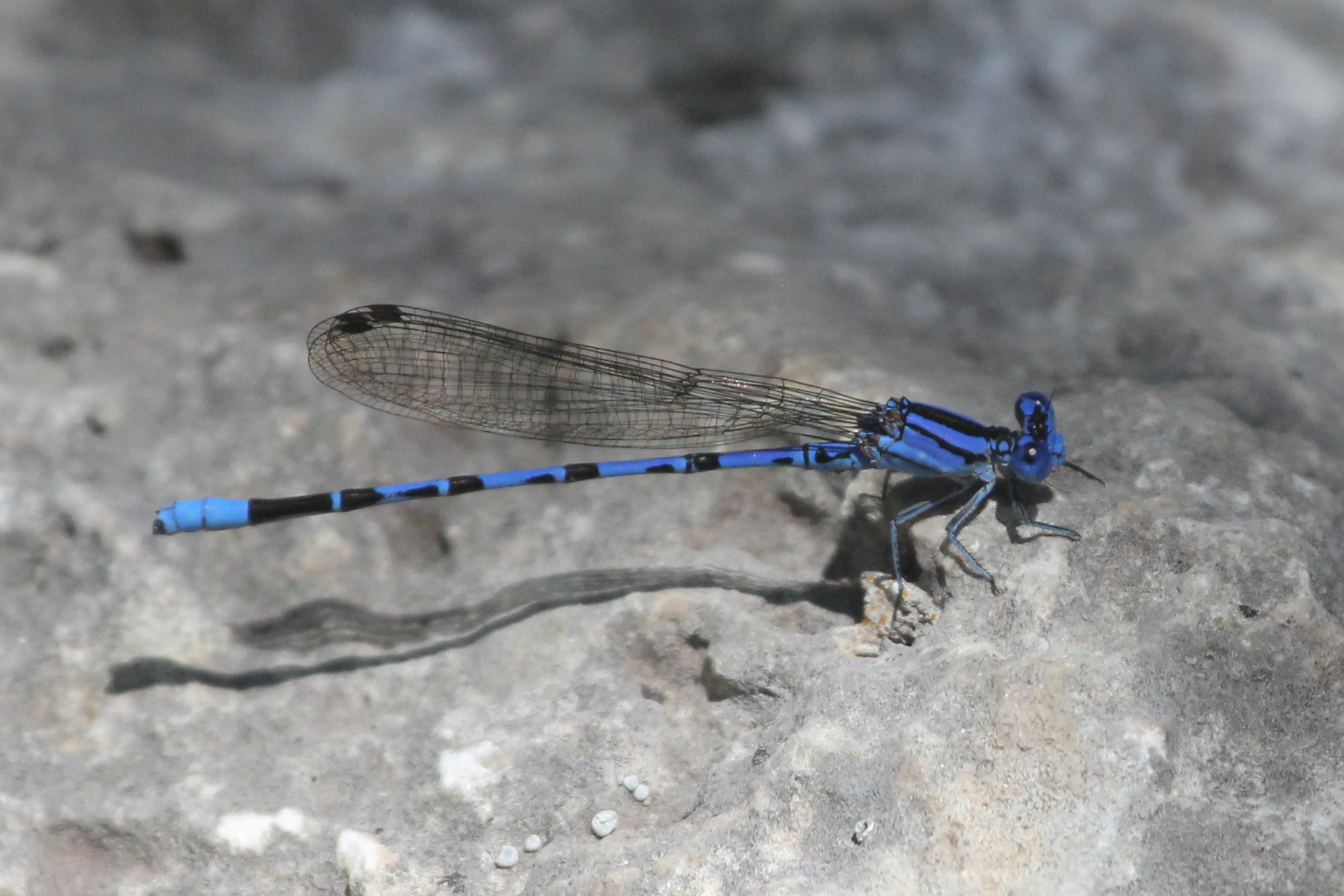
Familiar Bluet
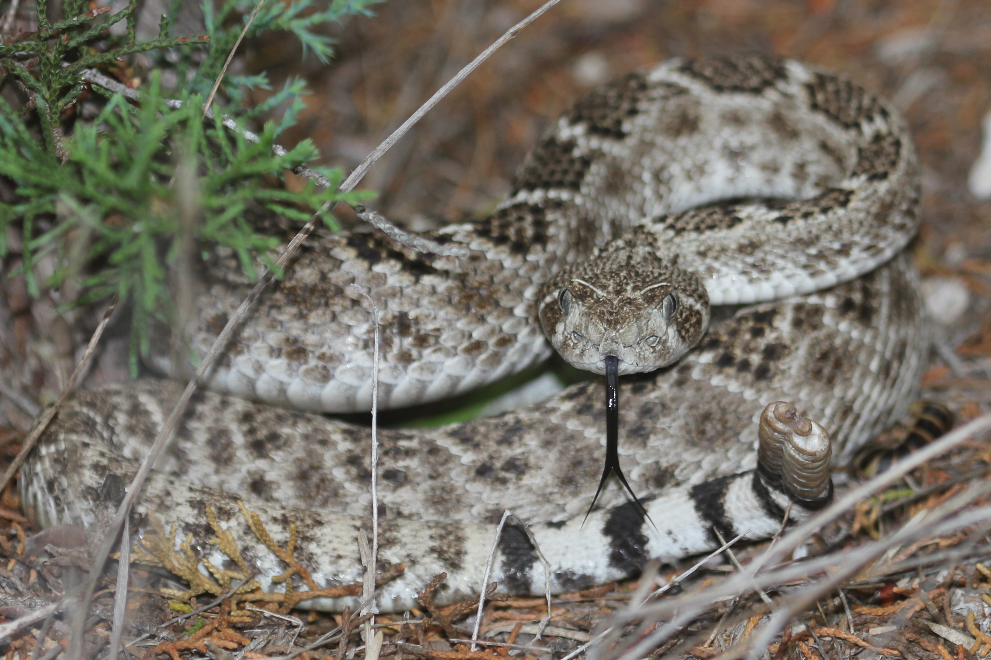
Western Diamondback Rattlesnake
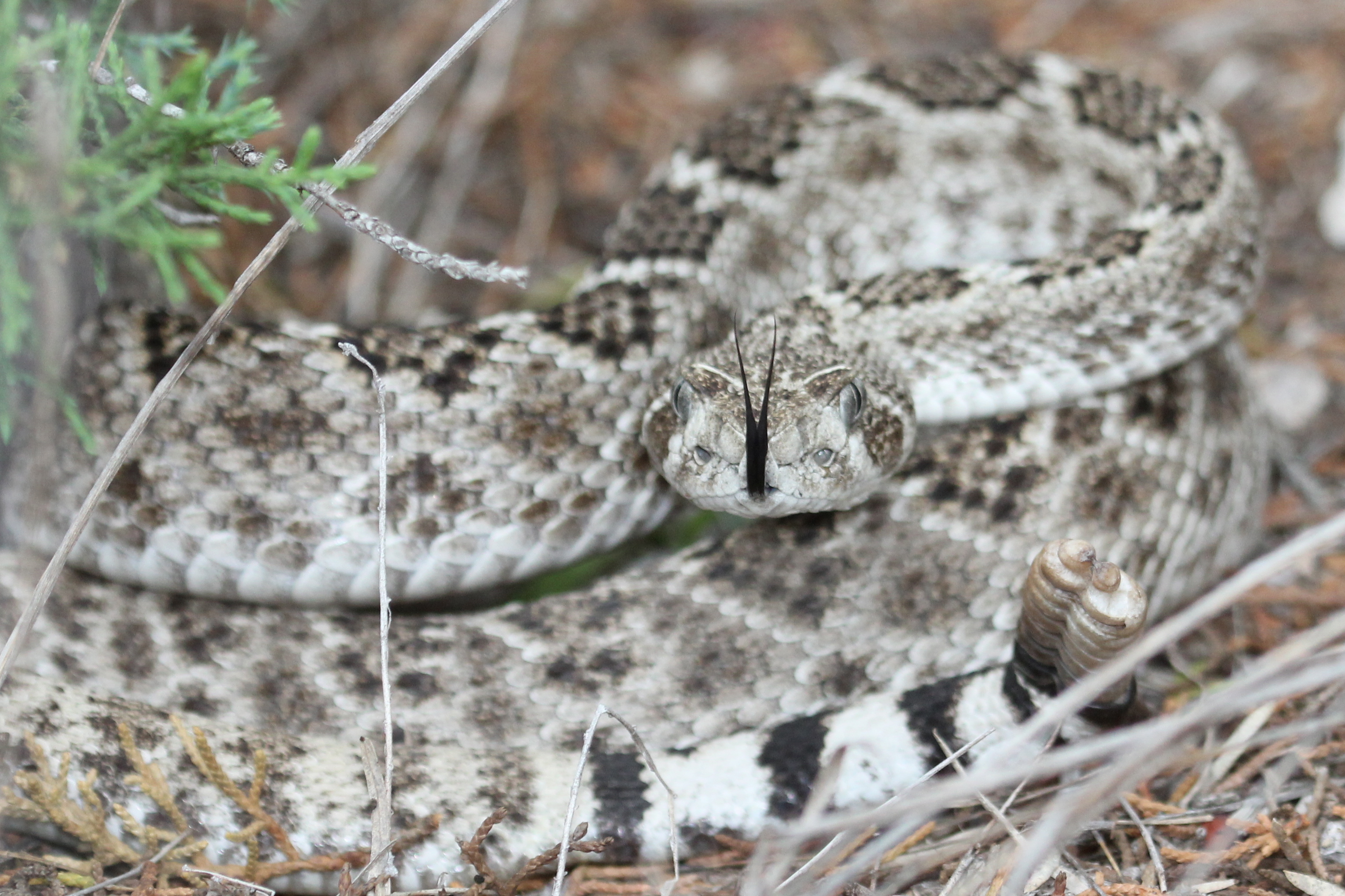
Western Diamondback Rattlesnake
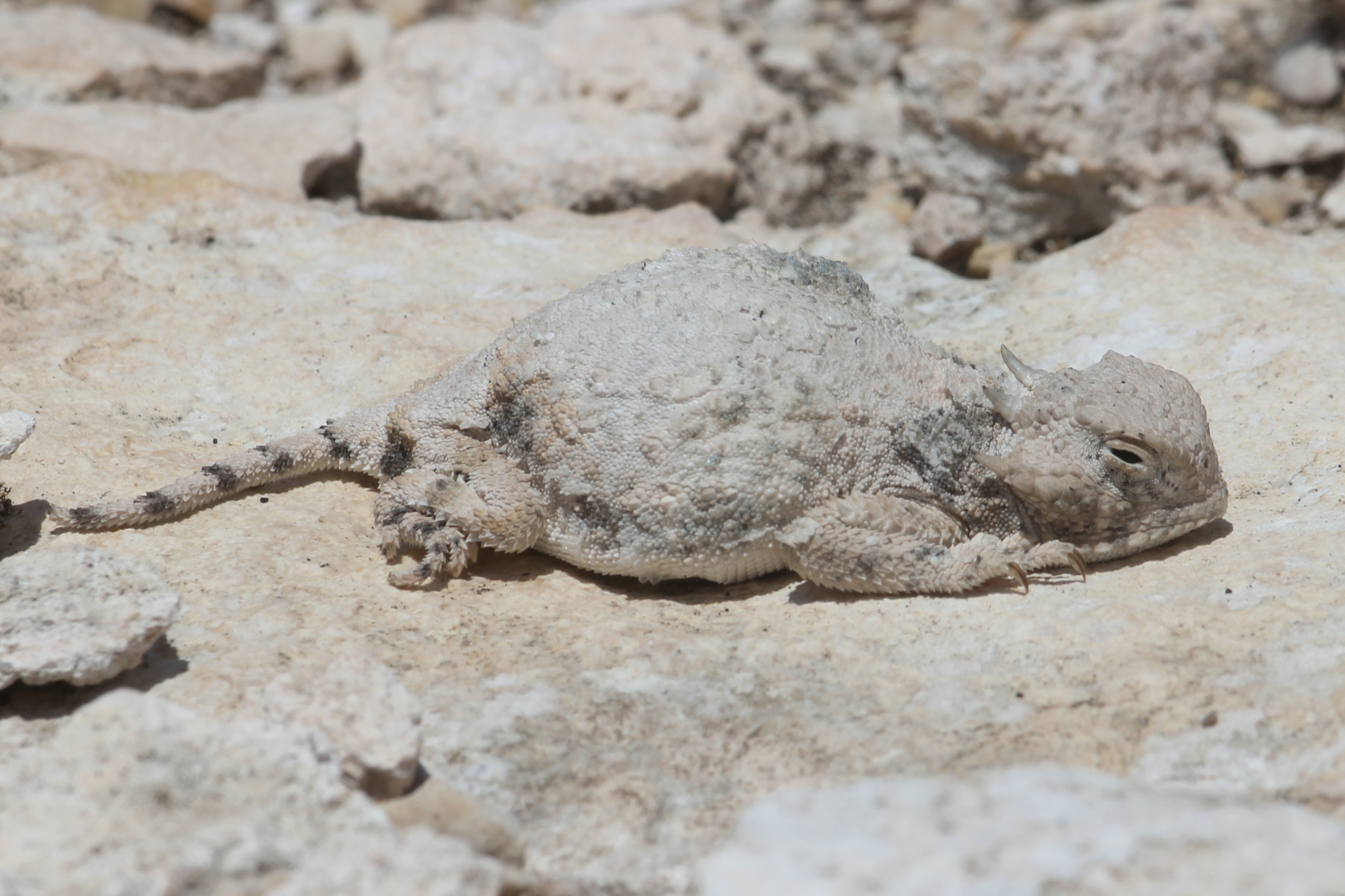
Roundtail Horned Lizard
Springwater Dancer
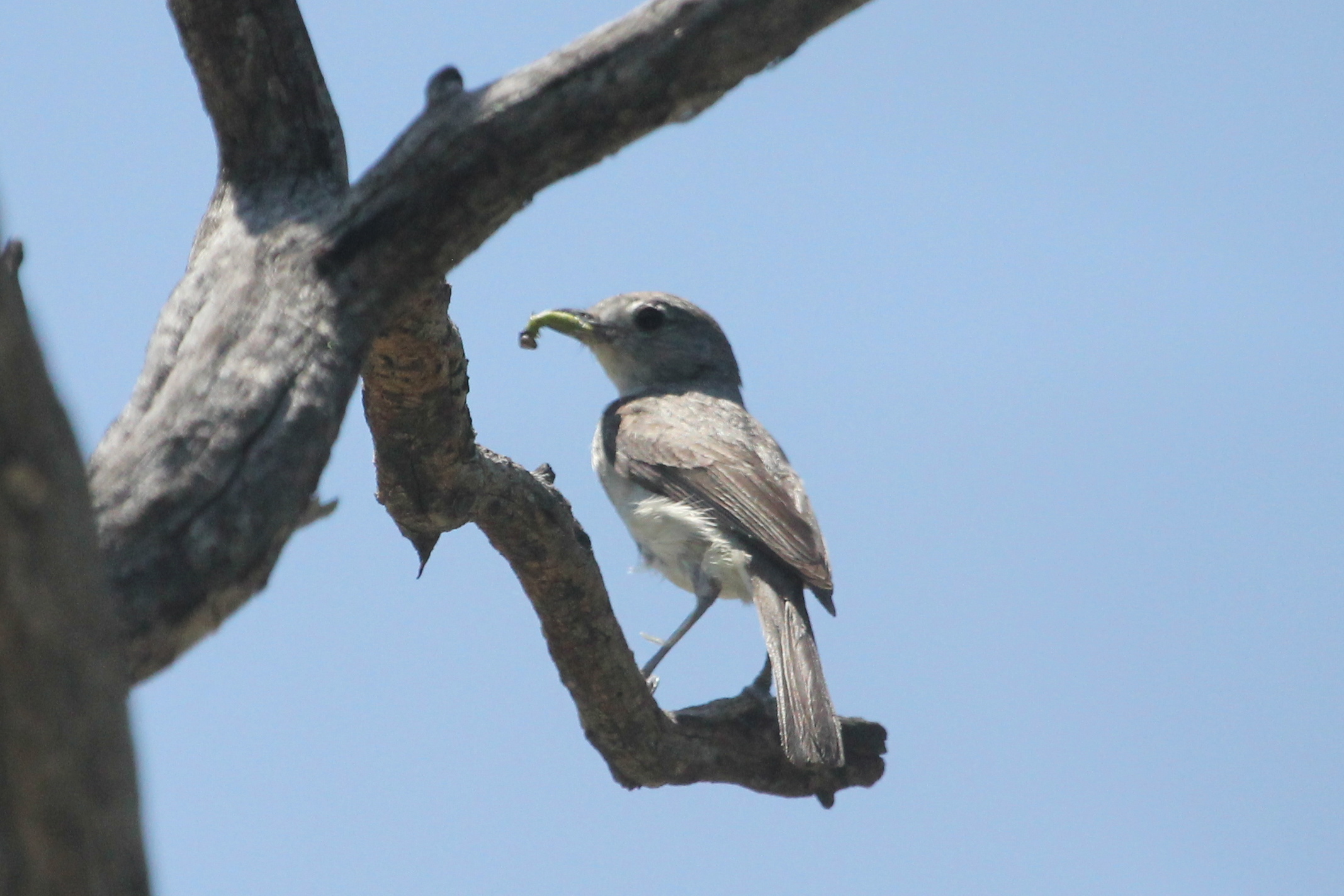
Gray Vireo

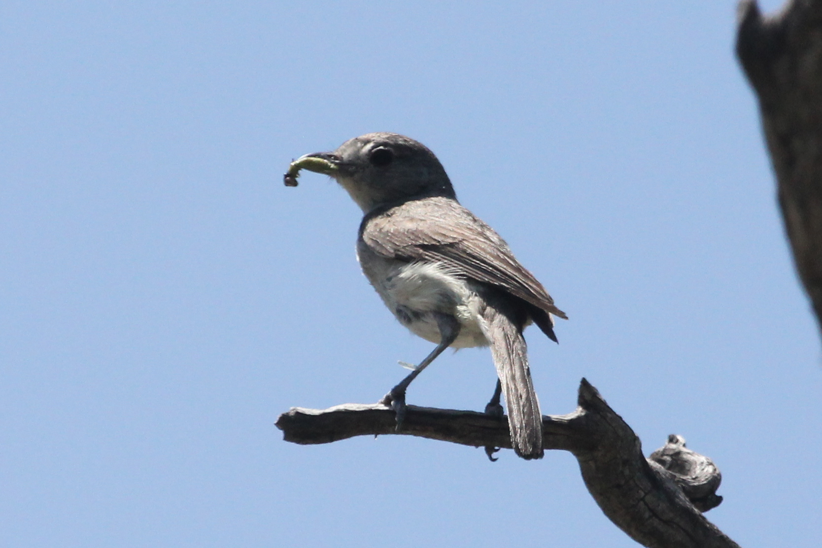
Gray Vireo
Gray Vireo

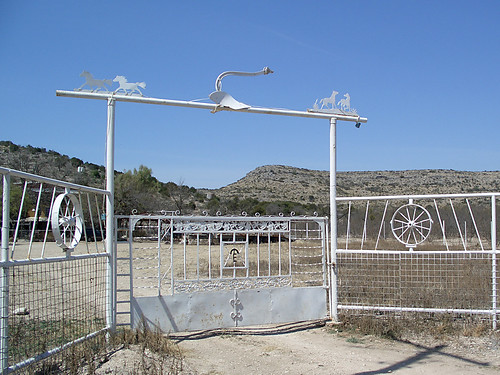
Antler Gate

Garison Ranch
Ranch Gate
Topographic Map of TX-, Texas, USA
Find elevation by address:

Places near TX-, Texas, USA:
Val Verde County
Crockett County
5020 Tx-163
Ozona
Ozona
Comstock
Bob White Drive
510 Amistad
509 W Chestnut St
410 Del Rio St
407 Del Rio St
404 Martin St
802 Mesquite St
802 Mesquite St
203 Menard Ave
124 W Plum St
Sonora
Surestay Hotel By Best Western Sonora
Carta Valley
Shoreline Dr, Del Rio, TX, USA
Recent Searches:
- Elevation of Crocker Dr, Vacaville, CA, USA
- Elevation of Pu Ngaol Community Meeting Hall, HWHM+3X7, Krong Saen Monourom, Cambodia
- Elevation of Royal Ontario Museum, Queens Park, Toronto, ON M5S 2C6, Canada
- Elevation of Groblershoop, South Africa
- Elevation of Power Generation Enterprises | Industrial Diesel Generators, Oak Ave, Canyon Country, CA, USA
- Elevation of Chesaw Rd, Oroville, WA, USA
- Elevation of N, Mt Pleasant, UT, USA
- Elevation of 6 Rue Jules Ferry, Beausoleil, France
- Elevation of Sattva Horizon, 4JC6+G9P, Vinayak Nagar, Kattigenahalli, Bengaluru, Karnataka, India
- Elevation of Great Brook Sports, Gold Star Hwy, Groton, CT, USA