Elevation of Shoreline Dr, Del Rio, TX, USA
Location: United States > Texas > Val Verde County >
Longitude: -100.93781
Latitude: 29.621759
Elevation: 353m / 1158feet
Barometric Pressure: 97KPa
Elevation Map:
Satellite Map:
Related Photos:

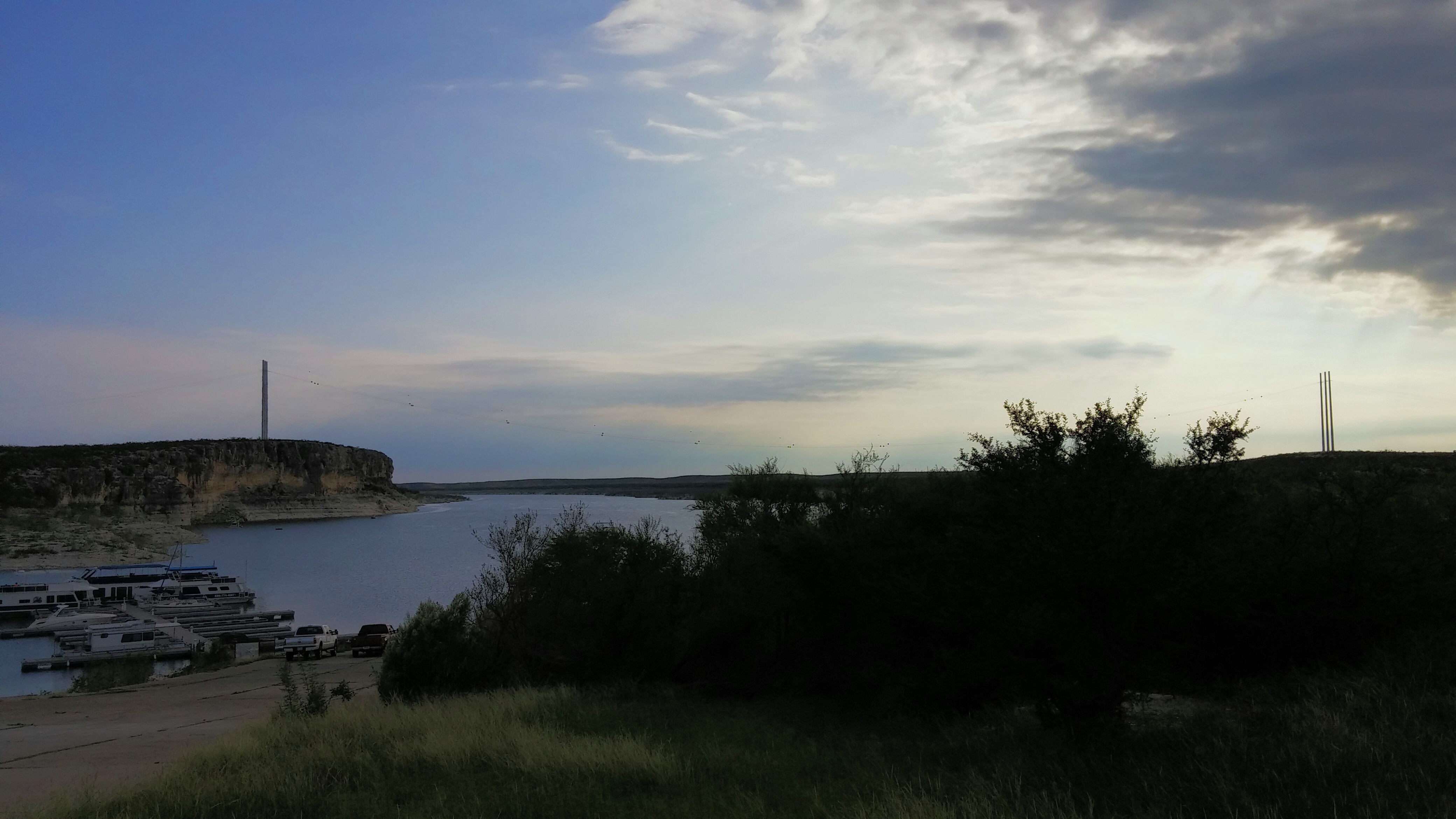
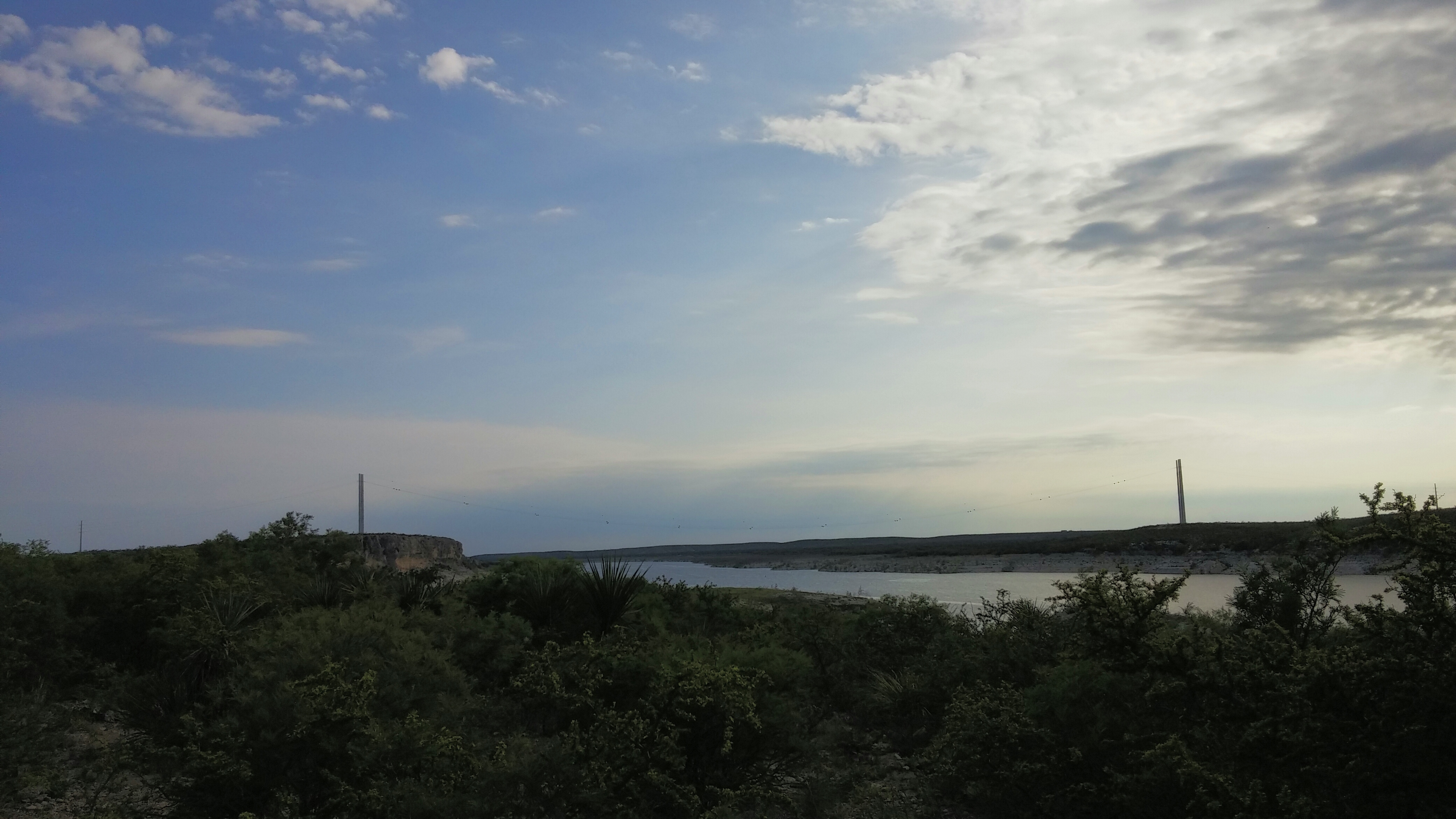
Lake Amistad

2012 Corpus Christi TX 543
2014-10-11 07.06.51 1

20130605 Devils River

In the Car
2014-10-11 07.07.12 1

2014-10-11 07.07.09 1

2014-10-11 07.07.06 1

2014-10-11 07.07.03 1

2014-10-11 07.06.57 1

20130605 Devils River

20130605 Devils River

20130605 Devils River

20130605 Devils River

20130605 Devils River

20130605 Devils River

20130605 Devils River

20130605 Devils River

20130605 Devils River

20130605 Devils River

20130605 Devils River

20130605 Devils River

20130605 Devils River
Topographic Map of Shoreline Dr, Del Rio, TX, USA
Find elevation by address:

Places near Shoreline Dr, Del Rio, TX, USA:
5020 Tx-163
Comstock
Carta Valley
Val Verde County
Edwards County
TX-, Texas, USA
Rocksprings
Barksdale
Camp Wood
404 Martin St
407 Del Rio St
410 Del Rio St
510 Amistad
509 W Chestnut St
802 Mesquite St
802 Mesquite St
Sonora
203 Menard Ave
124 W Plum St
Ftw Ranch
Recent Searches:
- Elevation of Beall Road, Beall Rd, Florida, USA
- Elevation of Leguwa, Nepal
- Elevation of County Rd, Enterprise, AL, USA
- Elevation of Kolchuginsky District, Vladimir Oblast, Russia
- Elevation of Shustino, Vladimir Oblast, Russia
- Elevation of Lampiasi St, Sarasota, FL, USA
- Elevation of Elwyn Dr, Roanoke Rapids, NC, USA
- Elevation of Congressional Dr, Stevensville, MD, USA
- Elevation of Bellview Rd, McLean, VA, USA
- Elevation of Stage Island Rd, Chatham, MA, USA