Elevation of Us Highway 2, Malta, MT, USA
Location: United States > Montana > Phillips County > Malta >
Longitude: -108.63159
Latitude: 47.797759
Elevation: 977m / 3205feet
Barometric Pressure: 90KPa
Elevation Map:
Satellite Map:
Related Photos:
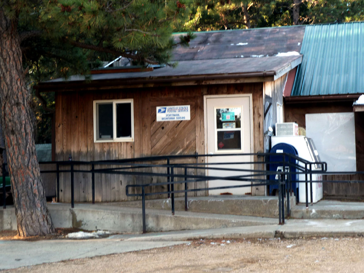
Zortman, Montana 59546
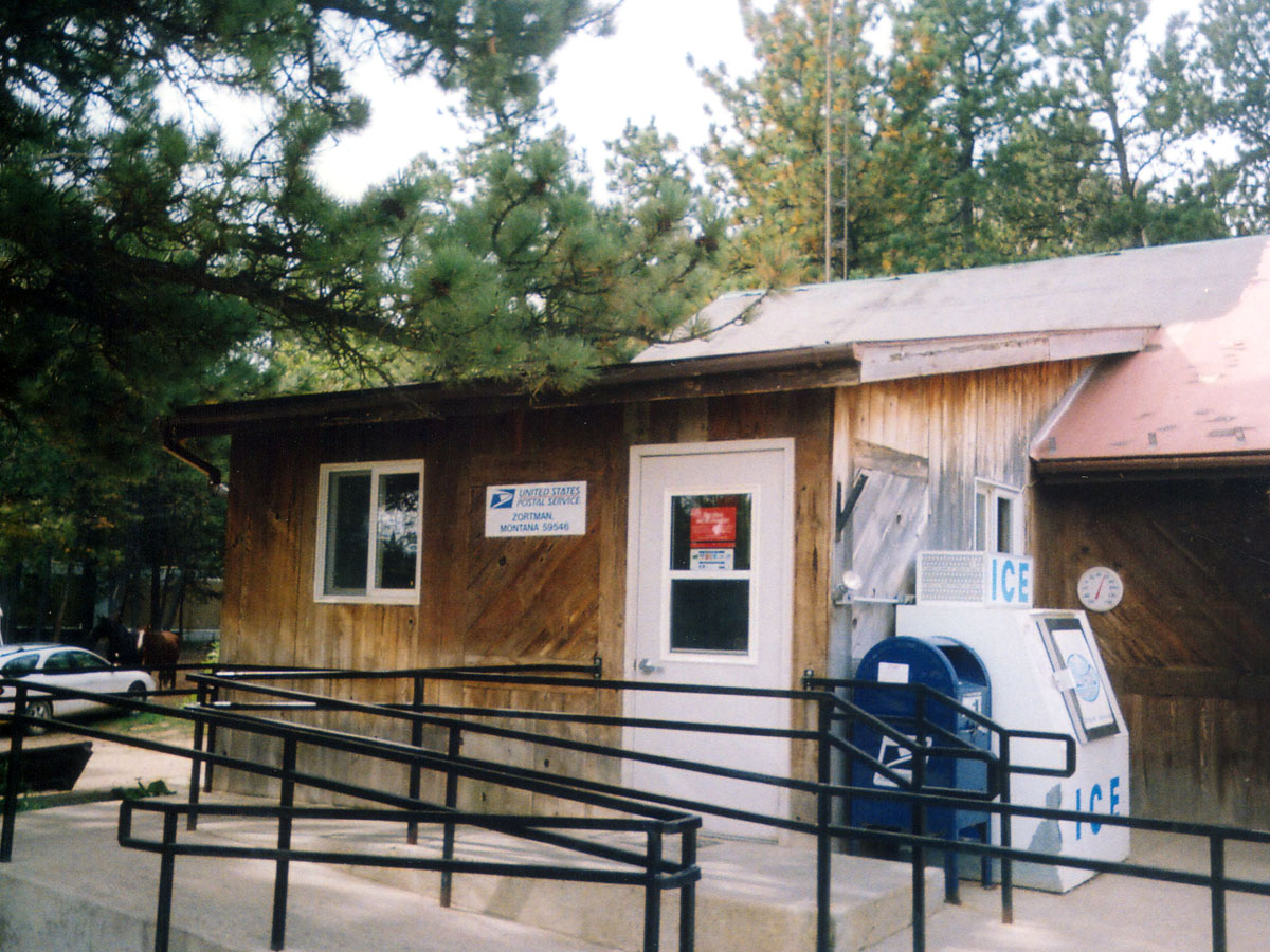
Zortman, Montana 59546
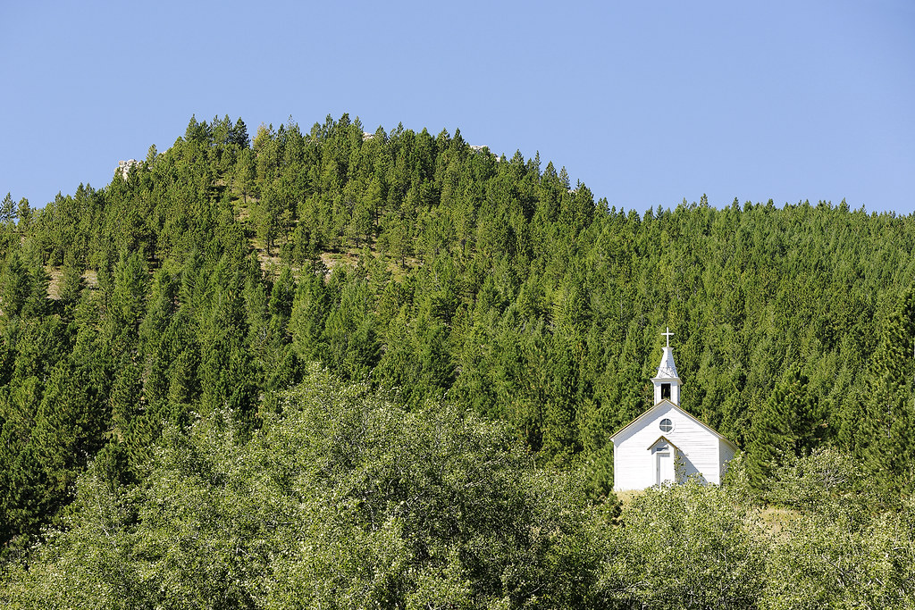
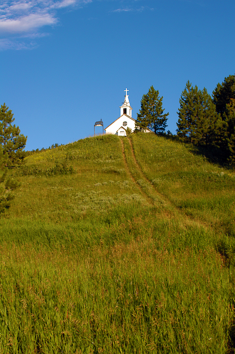
Mountain Church

Highway to Zortman-1
Zortman 2-1

Highway to Zortman 2-1

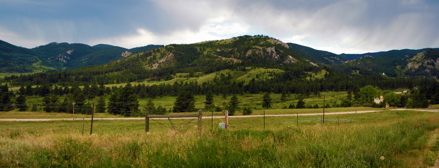
Zortman Panorama 2-1

Zortman Panoramax4 3-1
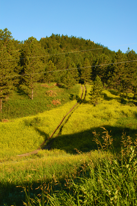
Path into Forest at Zortman 2-1
hills surrounding Zortman Montana

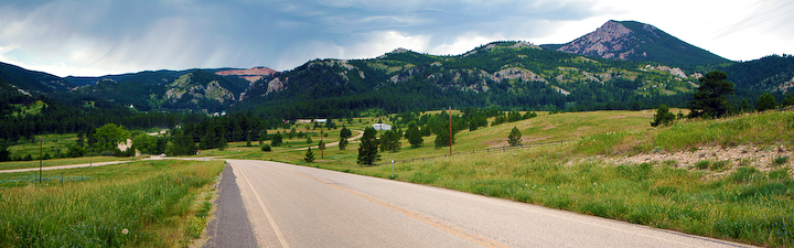
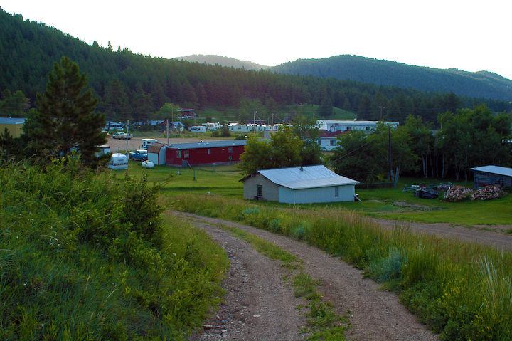
Road to Zortman-1
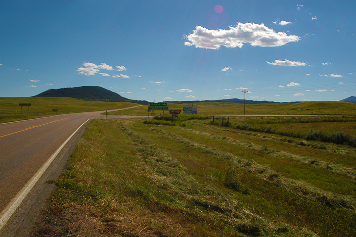
Highway Turnoff to Zortman-1
Zortman Panorama-1
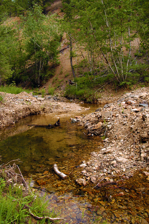
Creek above Zortman 2-1
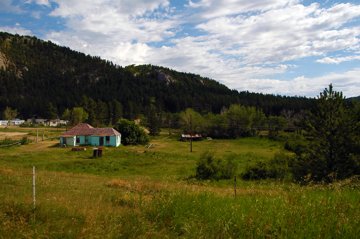
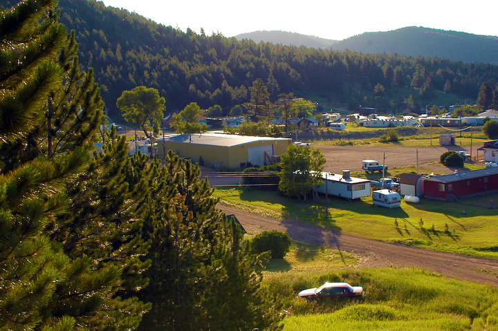
Edge of Town Zortman-1

Out on the Range
Zortman Church 2-1
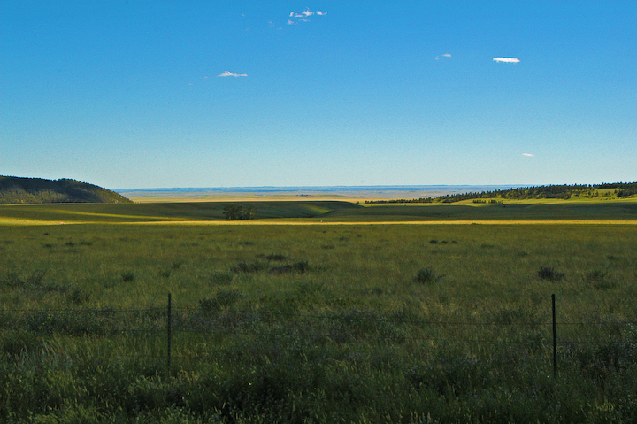
Expanse of Montana near Zortman-1

Kiowa Dancer [ Argia immunda ] male
Zortman 1-1
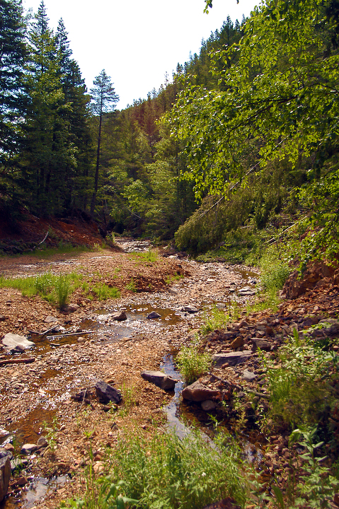
Creek above Zortman 3-1

Nearing Zortman 1-1

Cafe and Bar Zortman 2-1
Topographic Map of Us Highway 2, Malta, MT, USA
Find elevation by address:

Places near Us Highway 2, Malta, MT, USA:
Fords Creek Rd, Grass Range, MT, USA
Winifred
2nd Ave S, Winifred, MT, USA
Grass Range
Forest Grove Rd, Forest Grove, MT, USA
7412 Maiden Rd
1890 Upper Elk Creek Rd
Forest Grove
Fairview Road
630 Skaggs Rd
91026 Us-87
Fergus County
Forest Grove Road
Plum Creek Rd, Lewistown, MT, USA
464 Rifle Range Rd
408 Ne Main St
102 W Broadway St
102 W Broadway St
423 W Montana St
Lewistown
Recent Searches:
- Elevation of Kambingan Sa Pansol Atbp., Purok 7 Pansol, Candaba, Pampanga, Philippines
- Elevation of Pinewood Dr, New Bern, NC, USA
- Elevation of Mountain View, CA, USA
- Elevation of Foligno, Province of Perugia, Italy
- Elevation of Blauwestad, Netherlands
- Elevation of Bella Terra Blvd, Estero, FL, USA
- Elevation of Estates Loop, Priest River, ID, USA
- Elevation of Woodland Oak Pl, Thousand Oaks, CA, USA
- Elevation of Brownsdale Rd, Renfrew, PA, USA
- Elevation of Corcoran Ln, Suffolk, VA, USA