Elevation of Skaggs Rd, Lewistown, MT, USA
Location: United States > Montana > Fergus County > Lewistown >
Longitude: -109.22892
Latitude: 47.0604889
Elevation: 1342m / 4403feet
Barometric Pressure: 86KPa
Elevation Map:
Satellite Map:
Related Photos:

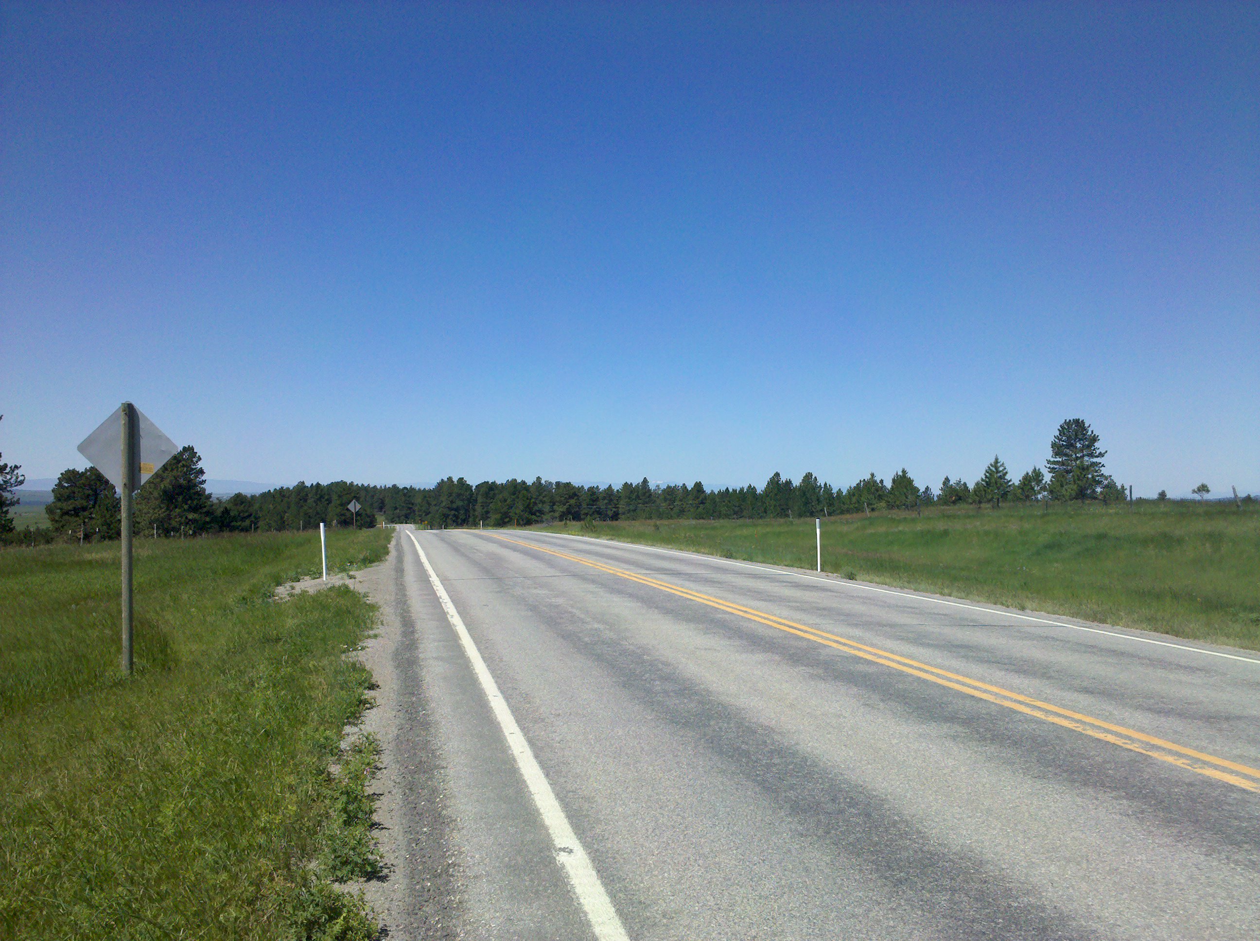
2016 - Road Trip - Lewiston Montana - 2 of 5
Google Street View - Pan-American Trek - Did Montana really look like this?
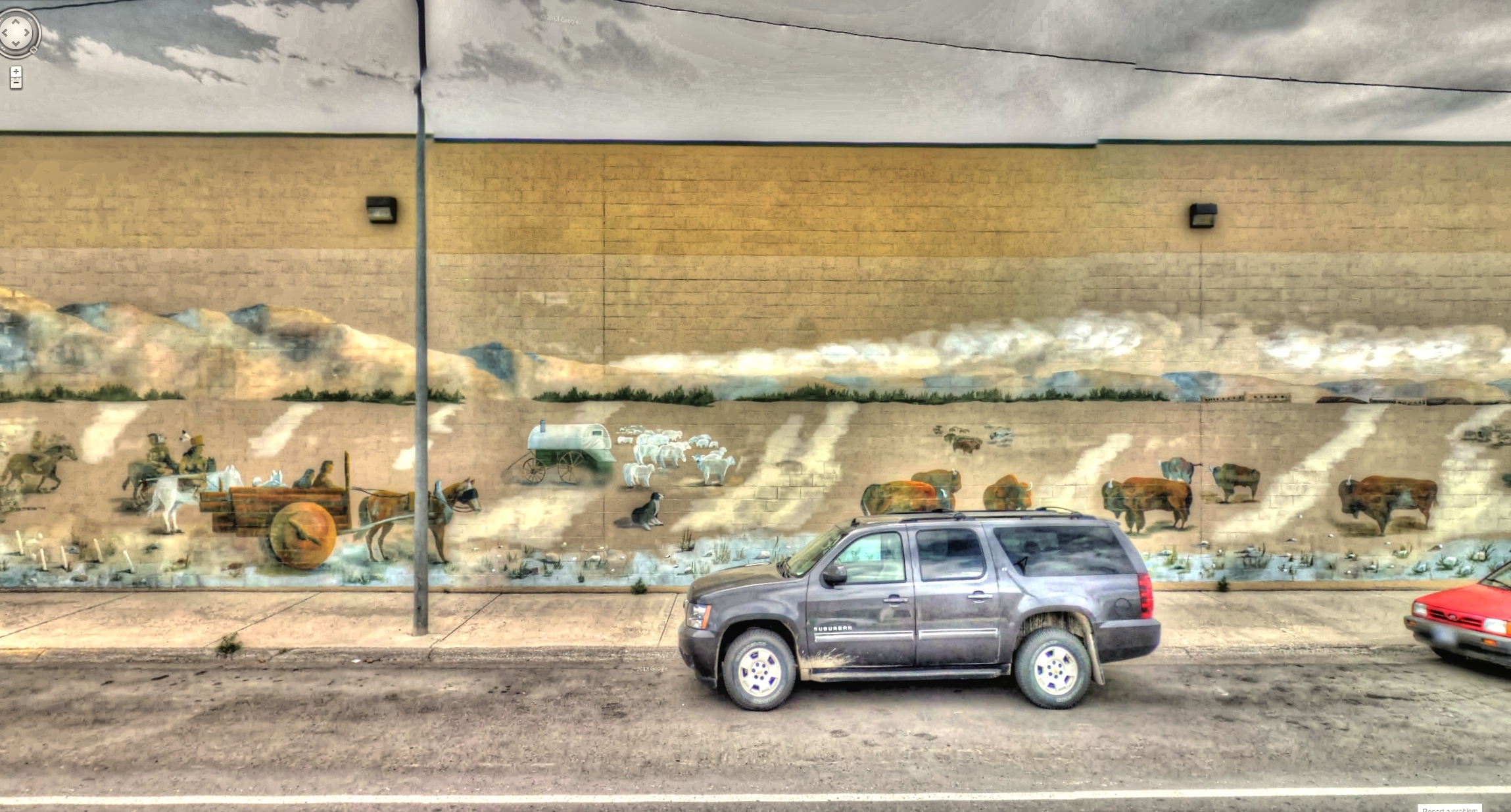
Google Street View - Pan-American Trek - Ag in Lewiston
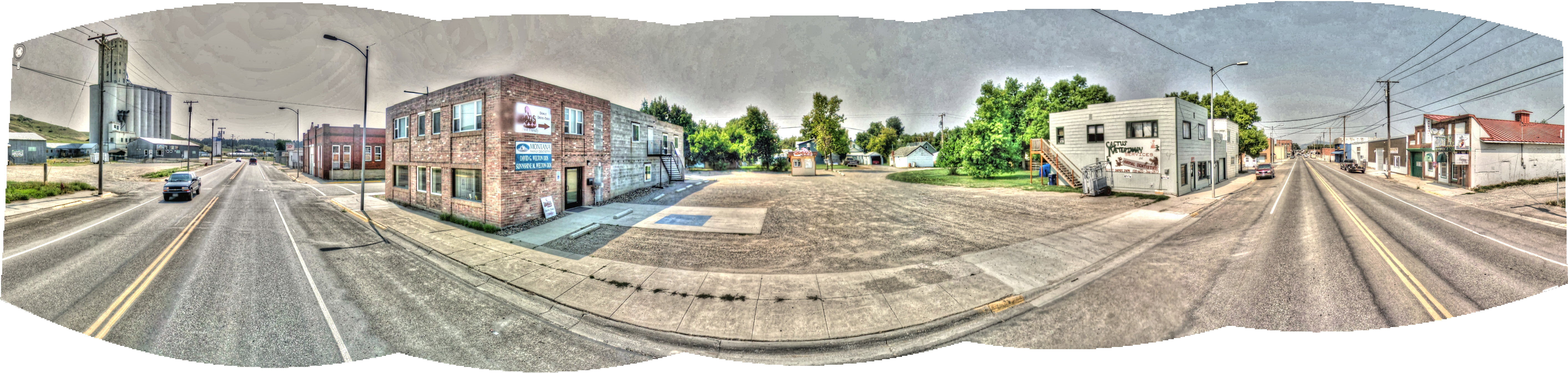
Google Street View - Pan-American Trek - Lewistown, Montana
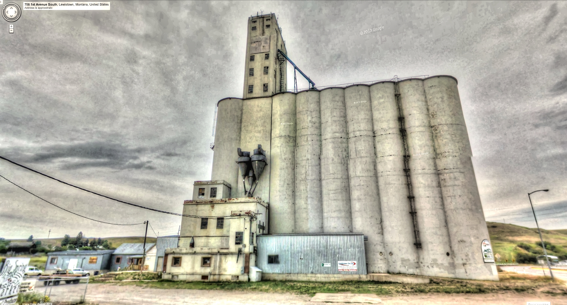
Google Street View - Pan-American Trek - Central Montana Storage
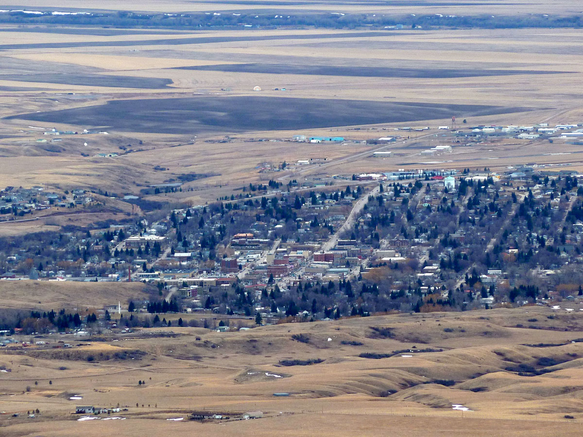
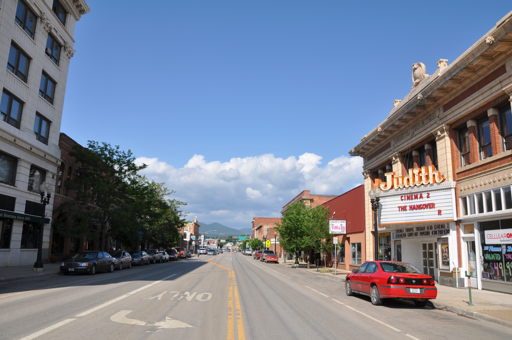
Lewistown, Montana 59457
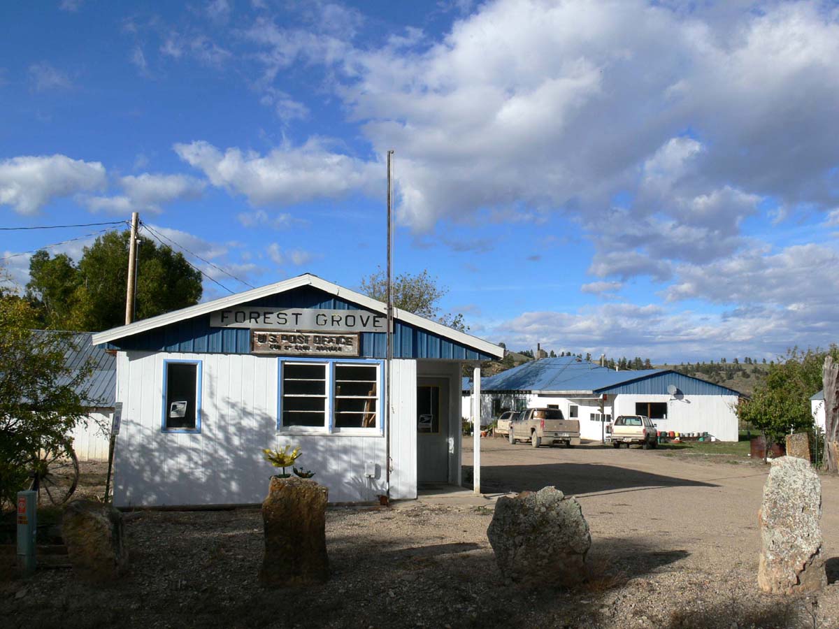
Forestgrove, Montana 59441
Heath, Montana 59449

391 Montana, SR200, Lewistown, Main Street, Courthouse, Front View
MappingMainStreet_LewistownMT-36
MappingMainStreet_LewistownMT-6
Fort Maginnis, Montana
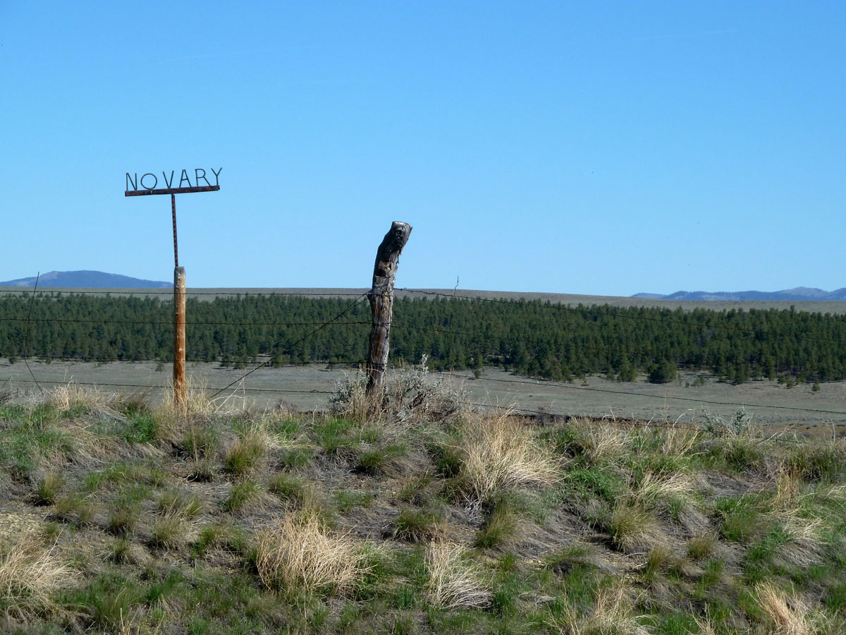
Novary, Montana
Giltedge, Montana
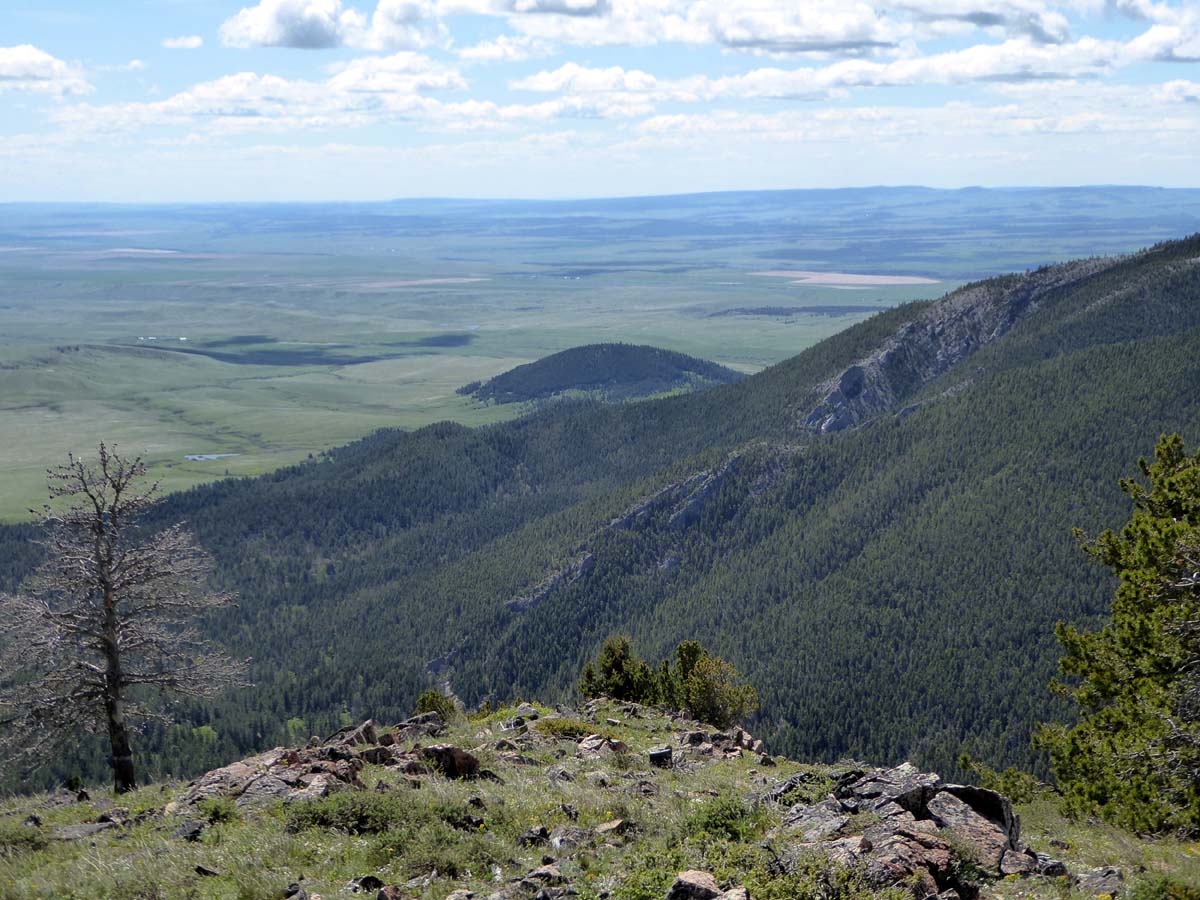
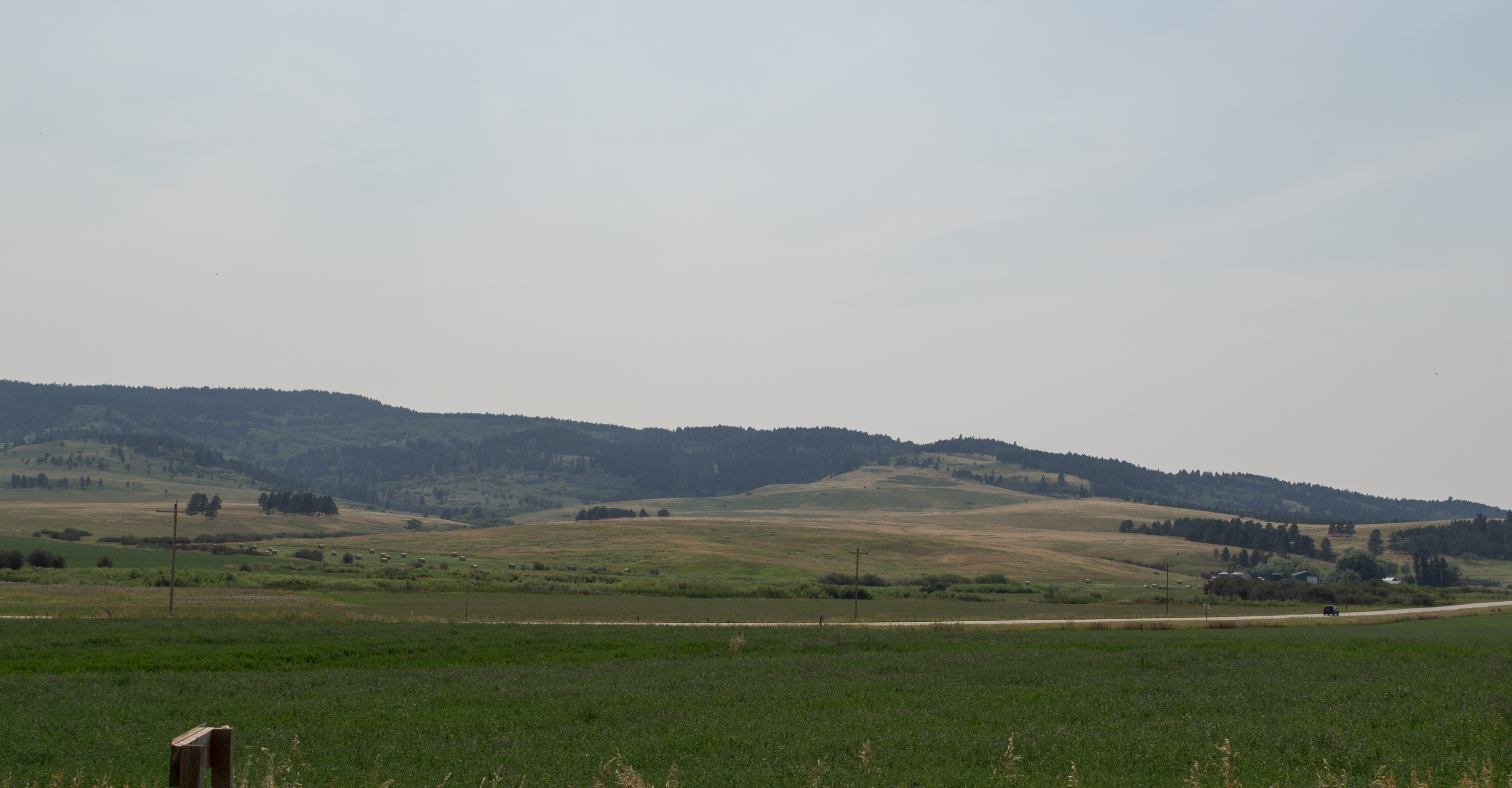
The view from the Lewistown Divide

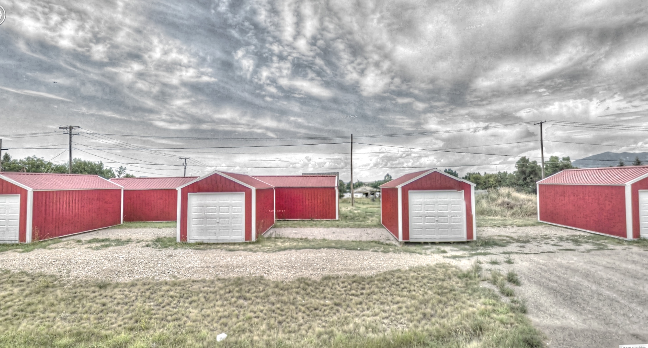
Little Red Shed

Old Texaco Sign
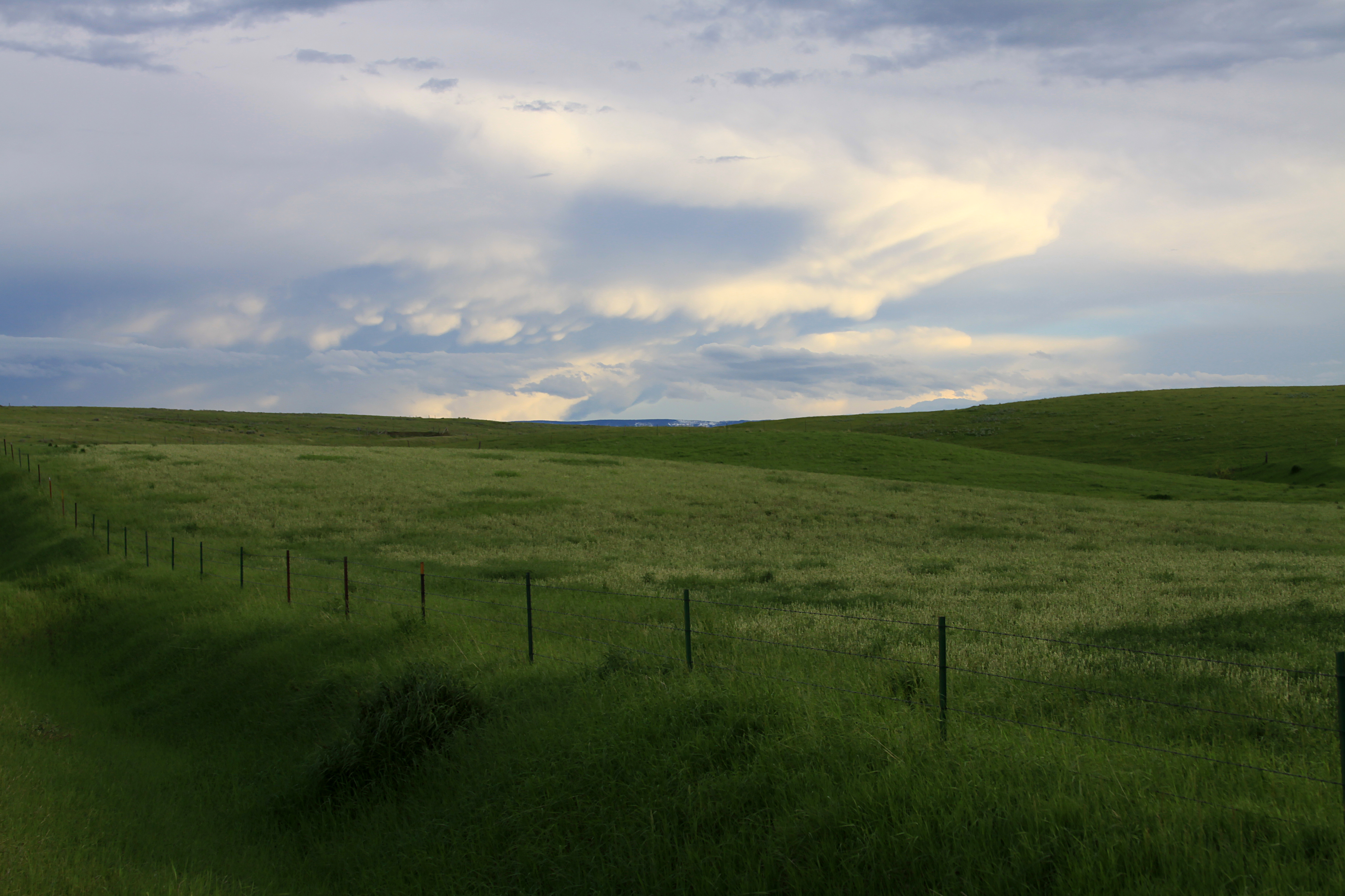
Lewistown Scenes: grassland
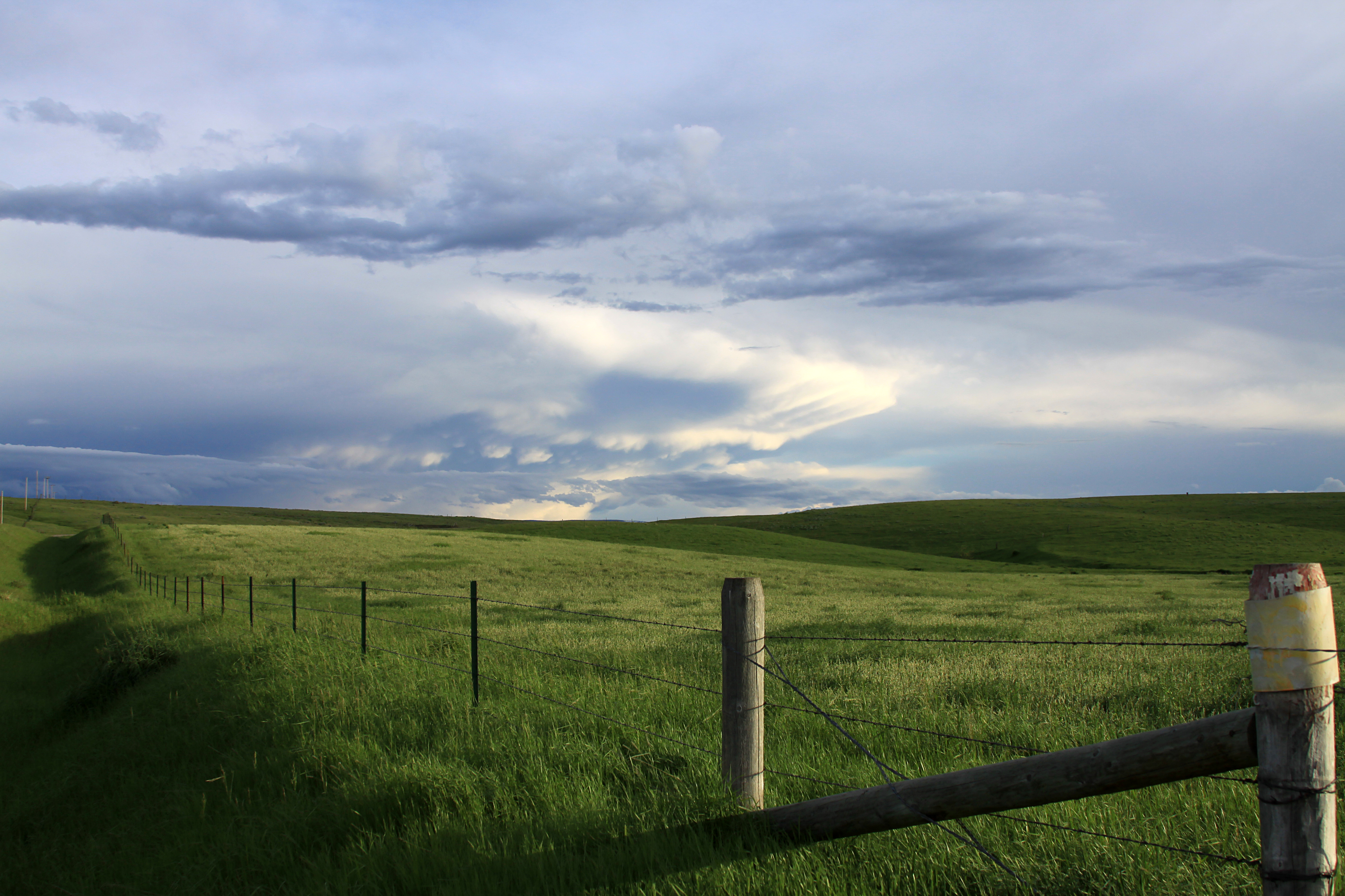
Lewistown Scenes: grassland
Montana Judith Mountains US-87 (#0434)
Topographic Map of Skaggs Rd, Lewistown, MT, USA
Find elevation by address:

Places near Skaggs Rd, Lewistown, MT, USA:
91026 Us-87
Forest Grove Road
7412 Maiden Rd
Lewistown, MT, USA
Forest Grove
464 Rifle Range Rd
408 Ne Main St
1001 Casino Creek Dr
102 W Broadway St
102 W Broadway St
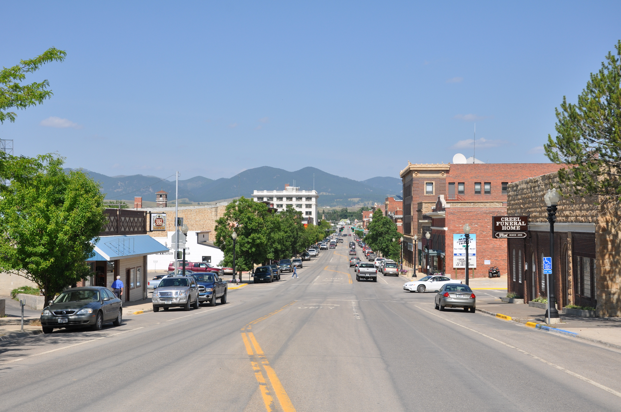
Lewistown
423 W Montana St
West Washington Street
2nd St NW, Lewistown, MT, USA
Fairview Road
1514 Vixen Ln
Fergus County
Forest Grove Rd, Forest Grove, MT, USA
Old Baldy
Fords Creek Rd, Grass Range, MT, USA
Recent Searches:
- Elevation of Elwyn Dr, Roanoke Rapids, NC, USA
- Elevation of Congressional Dr, Stevensville, MD, USA
- Elevation of Bellview Rd, McLean, VA, USA
- Elevation of Stage Island Rd, Chatham, MA, USA
- Elevation of Shibuya Scramble Crossing, 21 Udagawacho, Shibuya City, Tokyo -, Japan
- Elevation of Jadagoniai, Kaunas District Municipality, Lithuania
- Elevation of Pagonija rock, Kranto 7-oji g. 8"N, Kaunas, Lithuania
- Elevation of Co Rd 87, Jamestown, CO, USA
- Elevation of Tenjo, Cundinamarca, Colombia
- Elevation of Côte-des-Neiges, Montreal, QC H4A 3J6, Canada