Elevation of Maiden Rd, Lewistown, MT, USA
Location: United States > Montana > Fergus County > Lewistown >
Longitude: -109.25487
Latitude: 47.180739
Elevation: 1427m / 4682feet
Barometric Pressure: 85KPa
Elevation Map:
Satellite Map:
Related Photos:
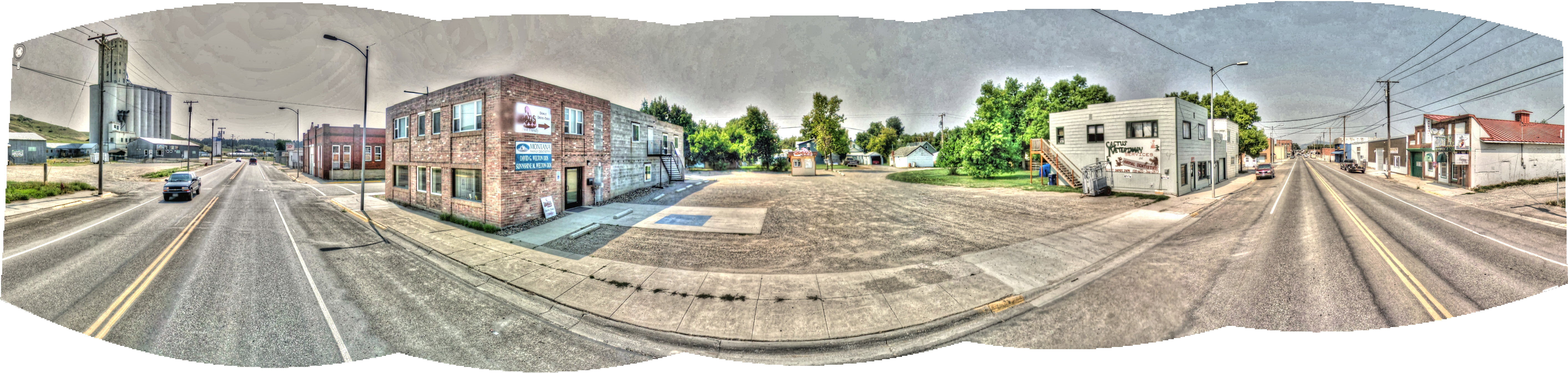
Google Street View - Pan-American Trek - Lewistown, Montana
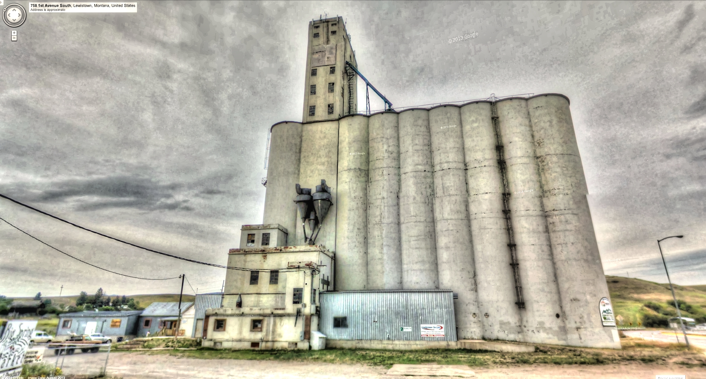
Google Street View - Pan-American Trek - Ag in Lewiston
Lewistown, Montana 59457
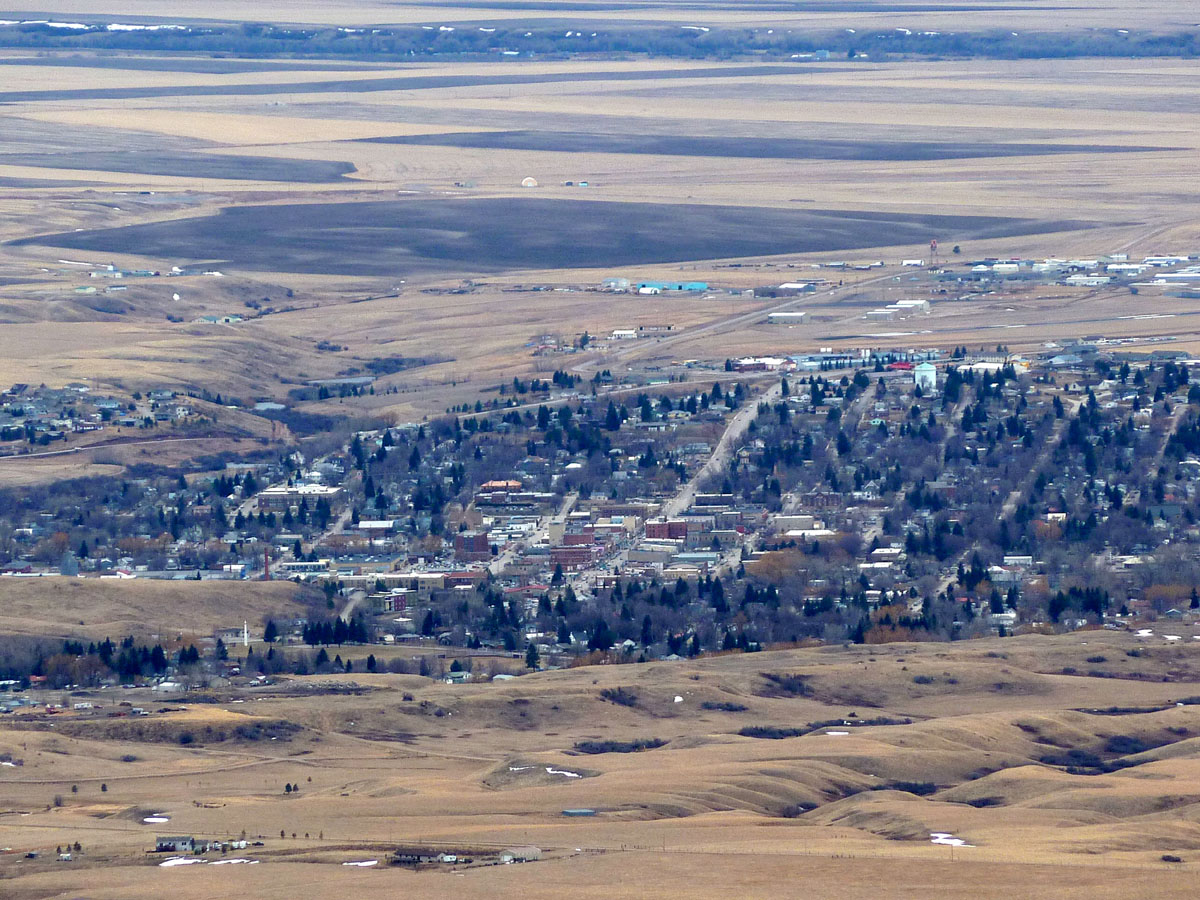
The view from the Lewistown Divide
Giltedge, Montana

Judith Mountain Memories

Eastern Forktail [ Ischnura verticalis ] male
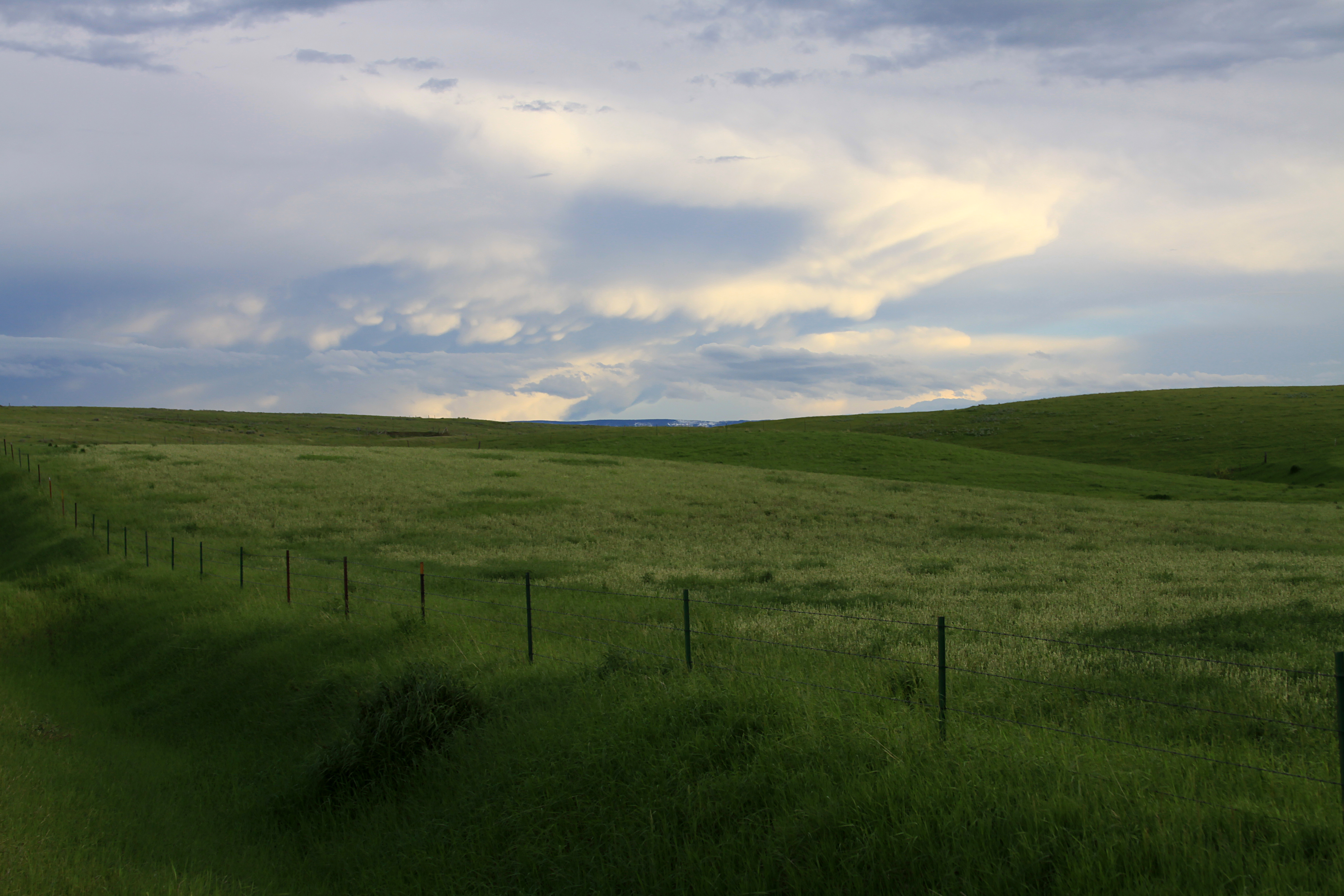
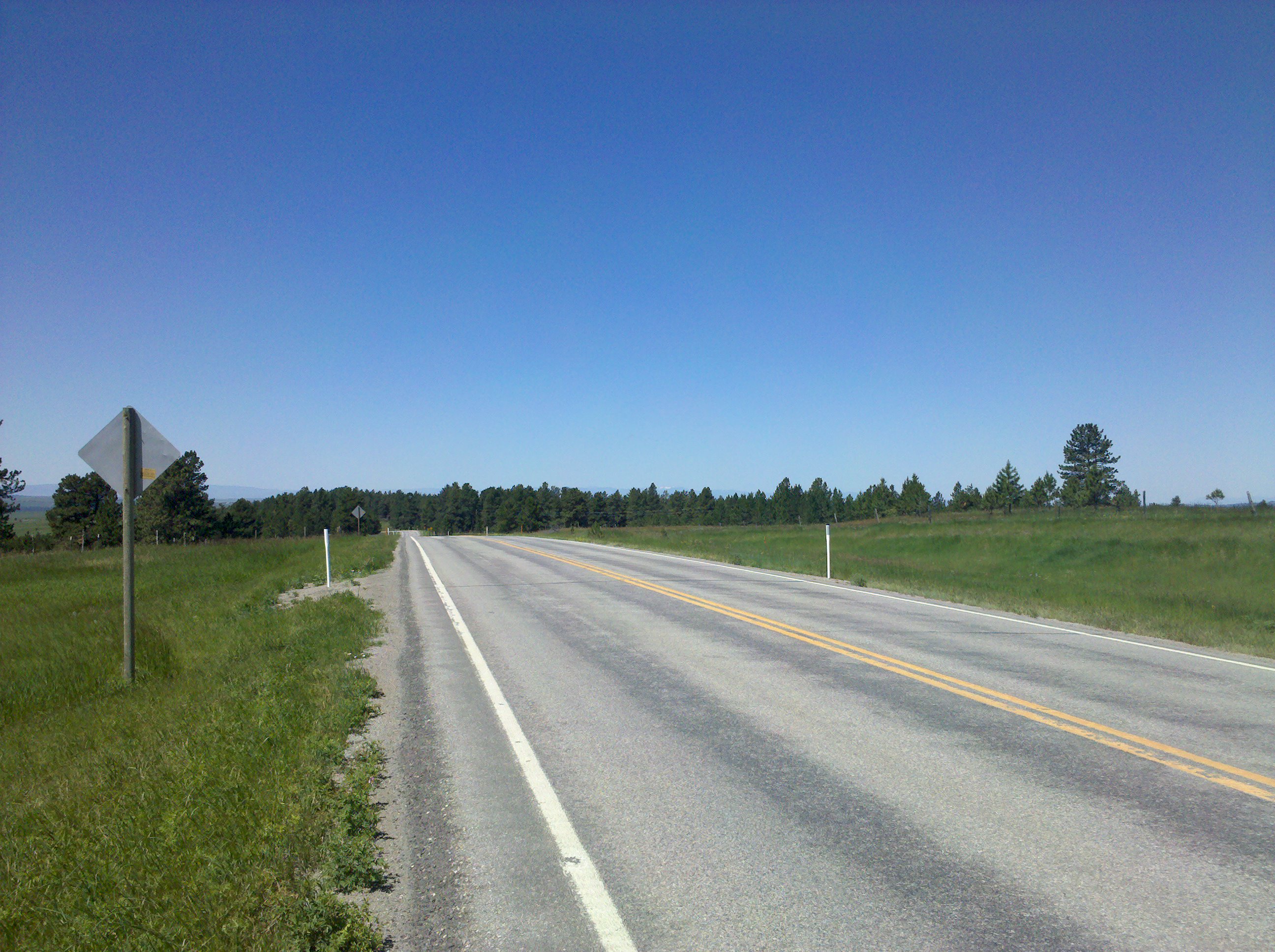
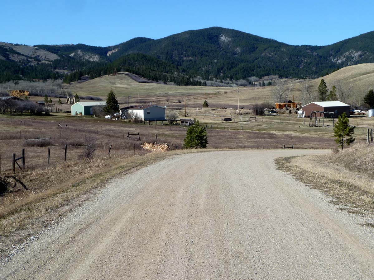
Lewistown Scenes: grassland
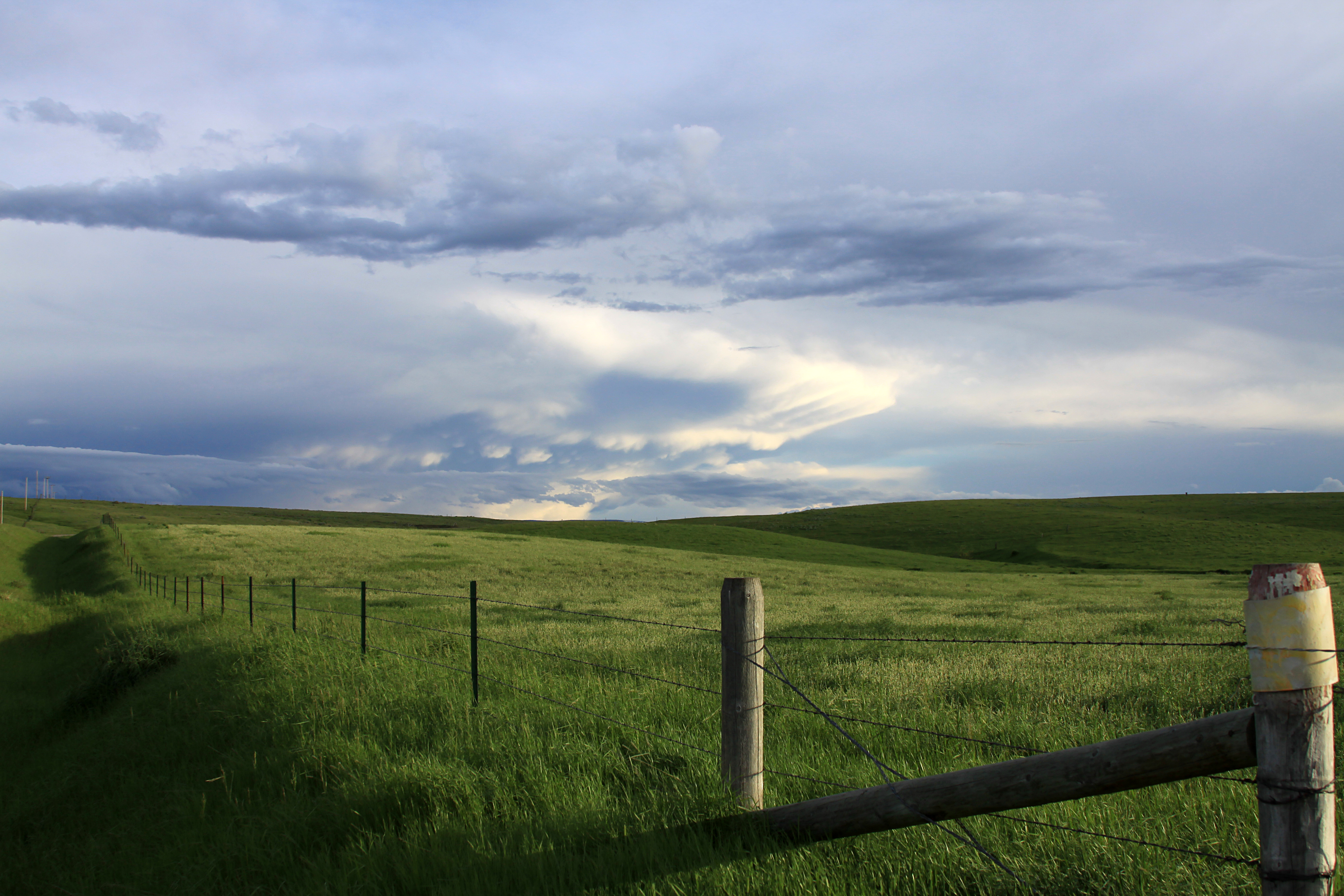
Lewistown Scenes: grassland
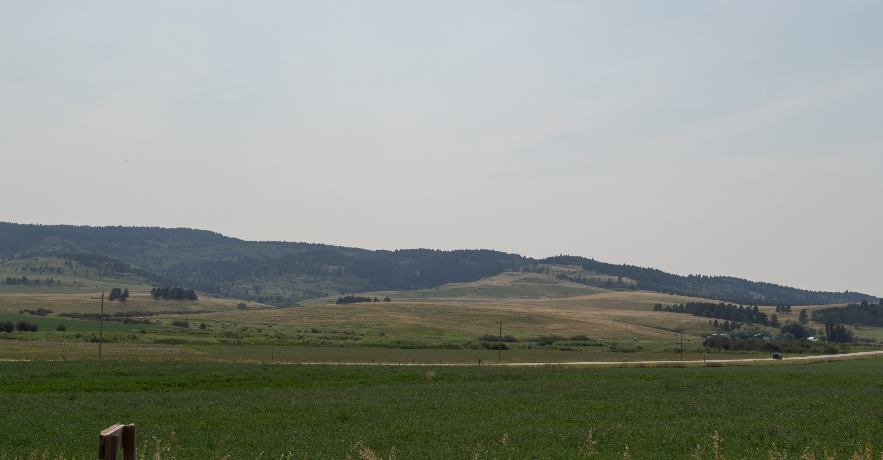
Montana Judith Mountains US-87 (#0434)
Topographic Map of Maiden Rd, Lewistown, MT, USA
Find elevation by address:

Places near Maiden Rd, Lewistown, MT, USA:
91026 Us-87
630 Skaggs Rd
Fergus County
464 Rifle Range Rd
Forest Grove Road
408 Ne Main St
102 W Broadway St
102 W Broadway St
Lewistown
423 W Montana St
1001 Casino Creek Dr
West Washington Street
2nd St NW, Lewistown, MT, USA
1514 Vixen Ln
Lewistown, MT, USA
Forest Grove
Fairview Road
Fords Creek Rd, Grass Range, MT, USA
Hanover Rd, Lewistown, MT, USA
Forest Grove Rd, Forest Grove, MT, USA
Recent Searches:
- Elevation of Tenjo, Cundinamarca, Colombia
- Elevation of Côte-des-Neiges, Montreal, QC H4A 3J6, Canada
- Elevation of Bobcat Dr, Helena, MT, USA
- Elevation of Zu den Ihlowbergen, Althüttendorf, Germany
- Elevation of Badaber, Peshawar, Khyber Pakhtunkhwa, Pakistan
- Elevation of SE Heron Loop, Lincoln City, OR, USA
- Elevation of Slanický ostrov, 01 Námestovo, Slovakia
- Elevation of Spaceport America, Co Rd A, Truth or Consequences, NM, USA
- Elevation of Warwick, RI, USA
- Elevation of Fern Rd, Whitmore, CA, USA