Elevation of US-, Cropwell, AL, USA
Location: United States > Alabama > St. Clair County > Pell City > Cropwell >
Longitude: -86.359579
Latitude: 33.481572
Elevation: 143m / 469feet
Barometric Pressure: 100KPa
Elevation Map:
Satellite Map:
Related Photos:
Cub Haunted
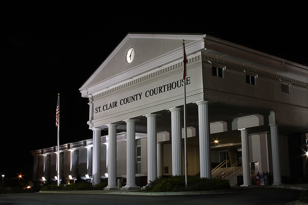
ST CLAIR COURTHOUSE - HDR

Talladega Sunset
Picture 012

Millcreek Motocross

Millcreek Reconstruction

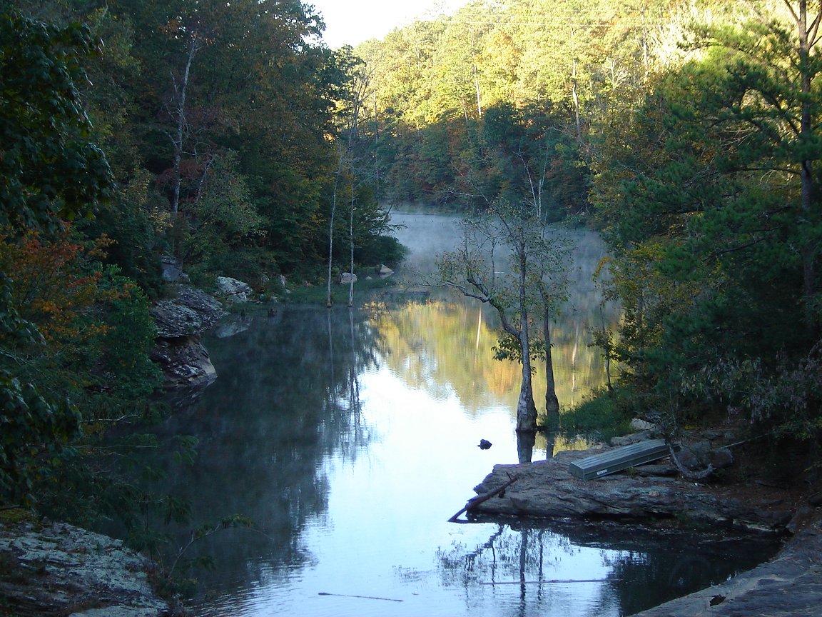
Lake on Sunday Evening

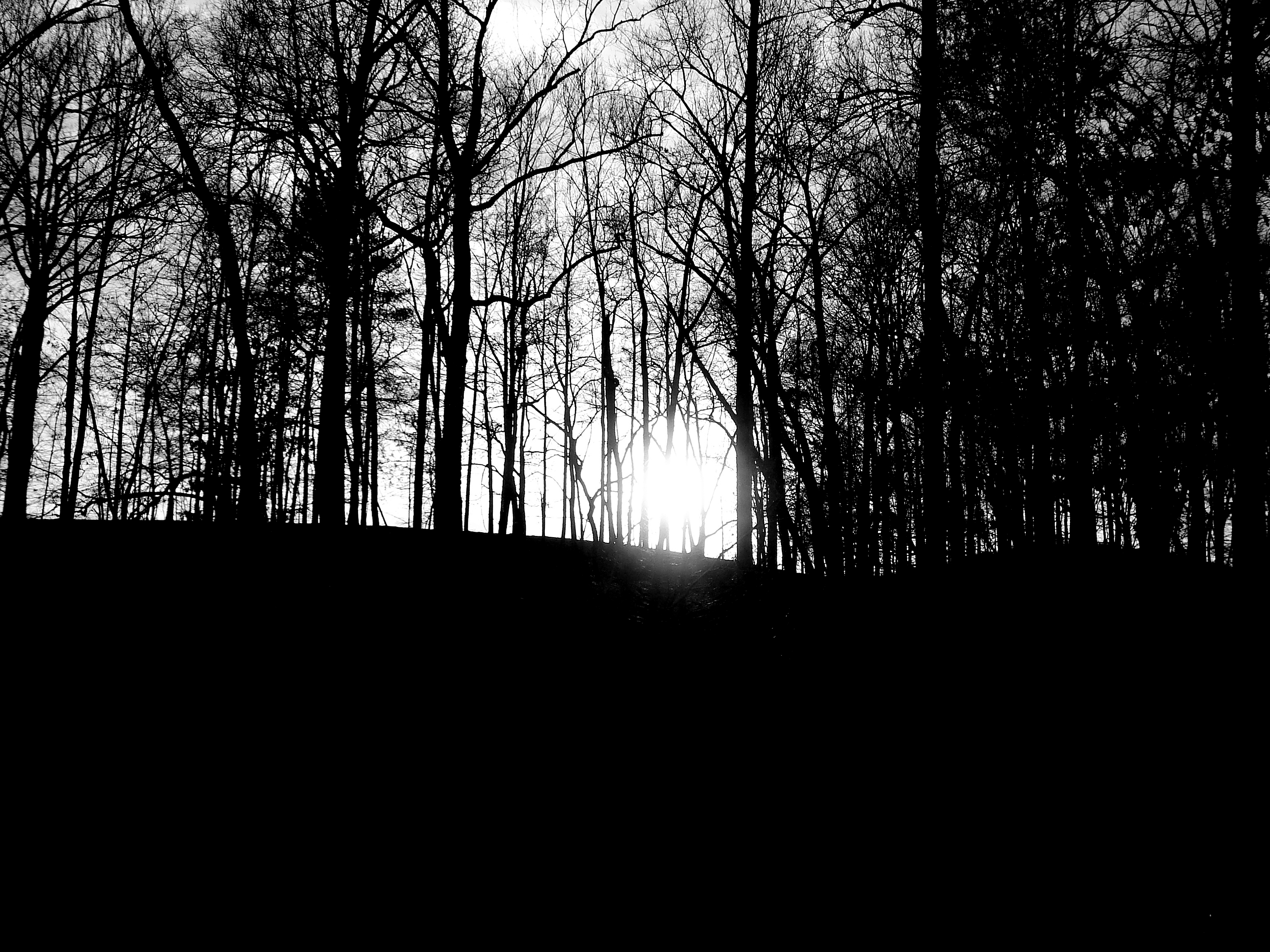
Good Morning!

198 Eastbound
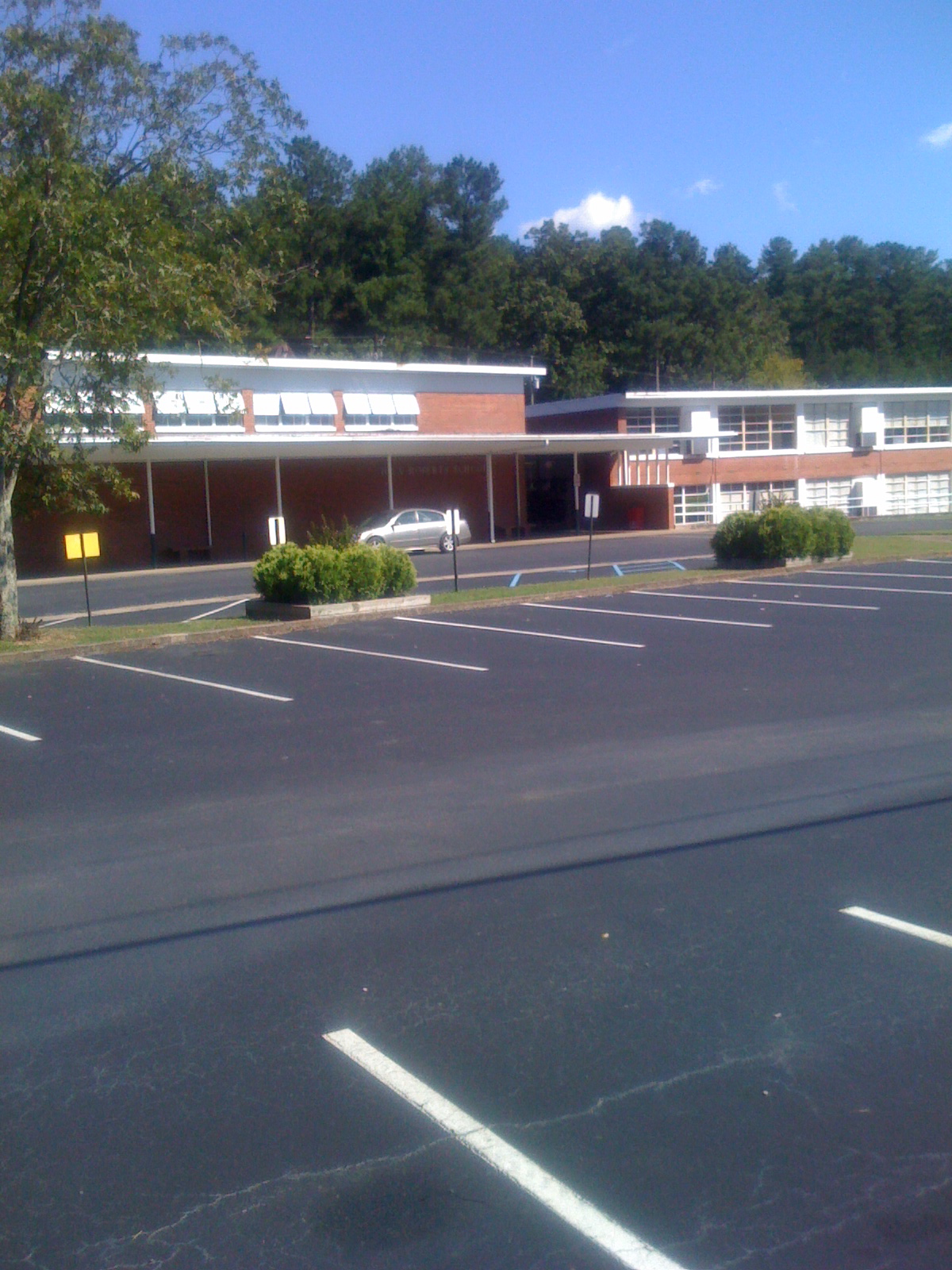
Iola Roberts Elementary School
NS 172 Cook Springs Alabama
Topographic Map of US-, Cropwell, AL, USA
Find elevation by address:

Places near US-, Cropwell, AL, USA:
40 Perry Rd
Co Rd 27, Pell City, AL, USA
Constellation Ave, Alpine, AL, USA
131 River Oaks Cir
Panola Cir, Cropwell, AL, USA
Clear Creek Dr, Alpine, AL, USA
Viewpoint Cir, Pell City, AL, USA
250 Grand Way
1292 Wolf Pen Ridge Rd
44 Hilltop Ln, Alpine, AL, USA
1305 Funderburg Bend Rd
14 Sequoyah Rd, Pell City, AL, USA
Cropwell
Funderburg Bend Rd, Pell City, AL, USA
Feddisburg Rd, Alpine, AL, USA
Lake Front Dr, Talladega, AL, USA
Camp Winnataska Rd, Pell City, AL, USA
Co Rd 55, Sterrett, AL, USA
W Renfroe Rd, Talladega, AL, USA
Cedar Dr, Talladega, AL, USA
Recent Searches:
- Elevation of 24 Oakland Rd #, Scotland, ON N0E 1R0, Canada
- Elevation of Deep Gap Farm Rd E, Mill Spring, NC, USA
- Elevation of Dog Leg Dr, Minden, NV, USA
- Elevation of Dog Leg Dr, Minden, NV, USA
- Elevation of Kambingan Sa Pansol Atbp., Purok 7 Pansol, Candaba, Pampanga, Philippines
- Elevation of Pinewood Dr, New Bern, NC, USA
- Elevation of Mountain View, CA, USA
- Elevation of Foligno, Province of Perugia, Italy
- Elevation of Blauwestad, Netherlands
- Elevation of Bella Terra Blvd, Estero, FL, USA