Elevation of Wolf Pen Ridge Rd, Pell City, AL, USA
Location: United States > Alabama > St. Clair County > Pell City >
Longitude: -86.417723
Latitude: 33.561145
Elevation: 240m / 787feet
Barometric Pressure: 98KPa
Elevation Map:
Satellite Map:
Related Photos:

29 Dreams
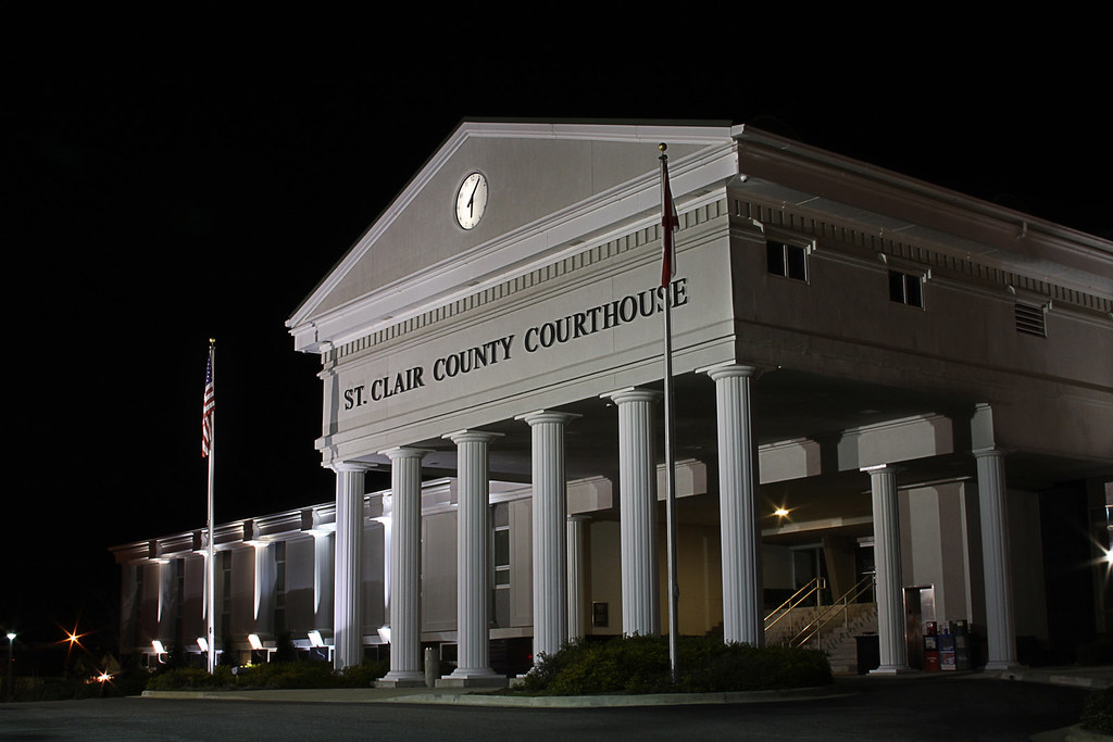
ST CLAIR COURTHOUSE - HDR
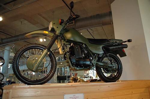
Military Harley Dirt Bike
Cub Haunted
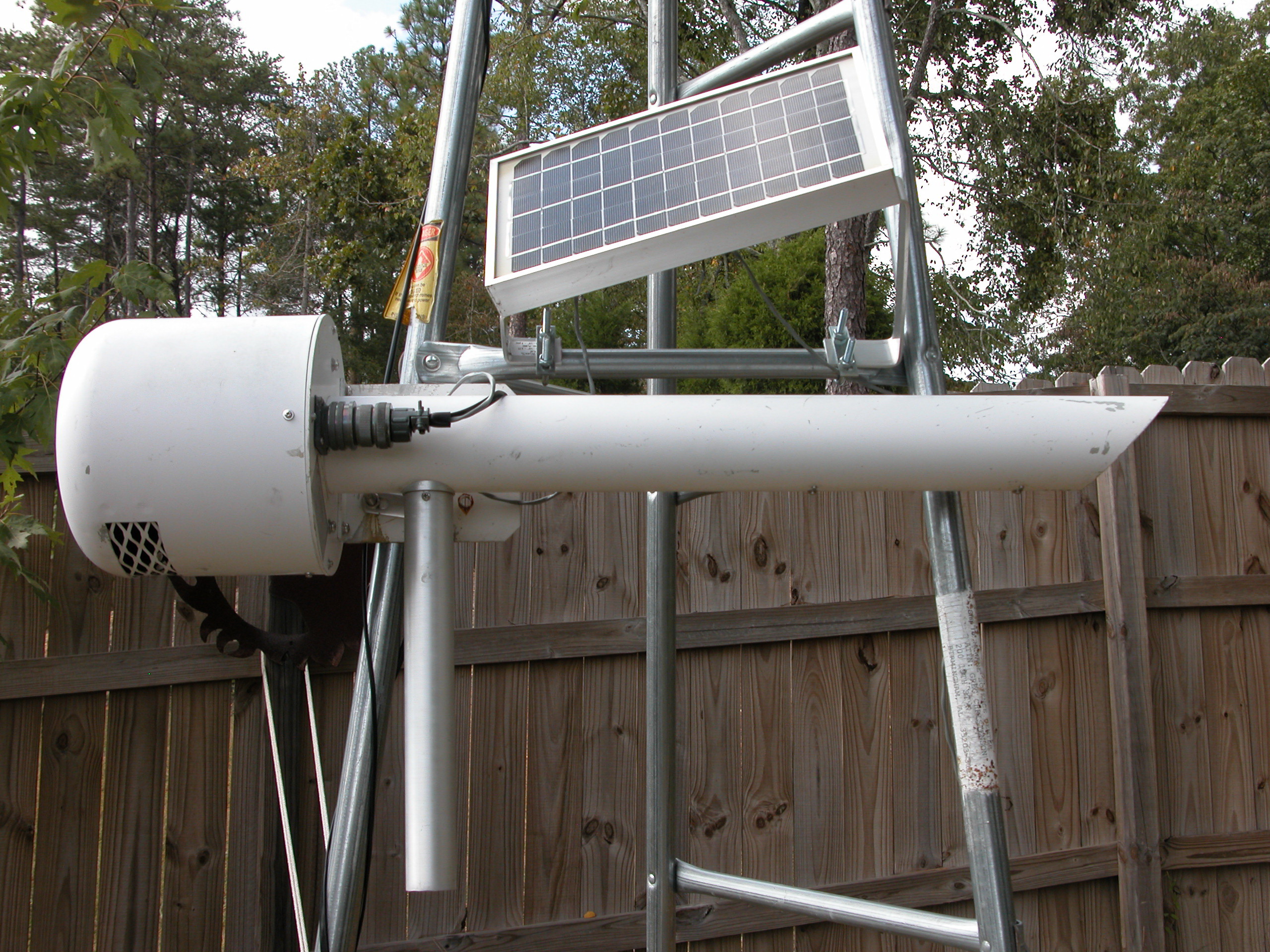
Temperature Humidity

"Man Cave" Home Office, c.2016
The Sonnet House - Leeds, Alabama

Millcreek Motocross

Millcreek Reconstruction
Road Trip Photos
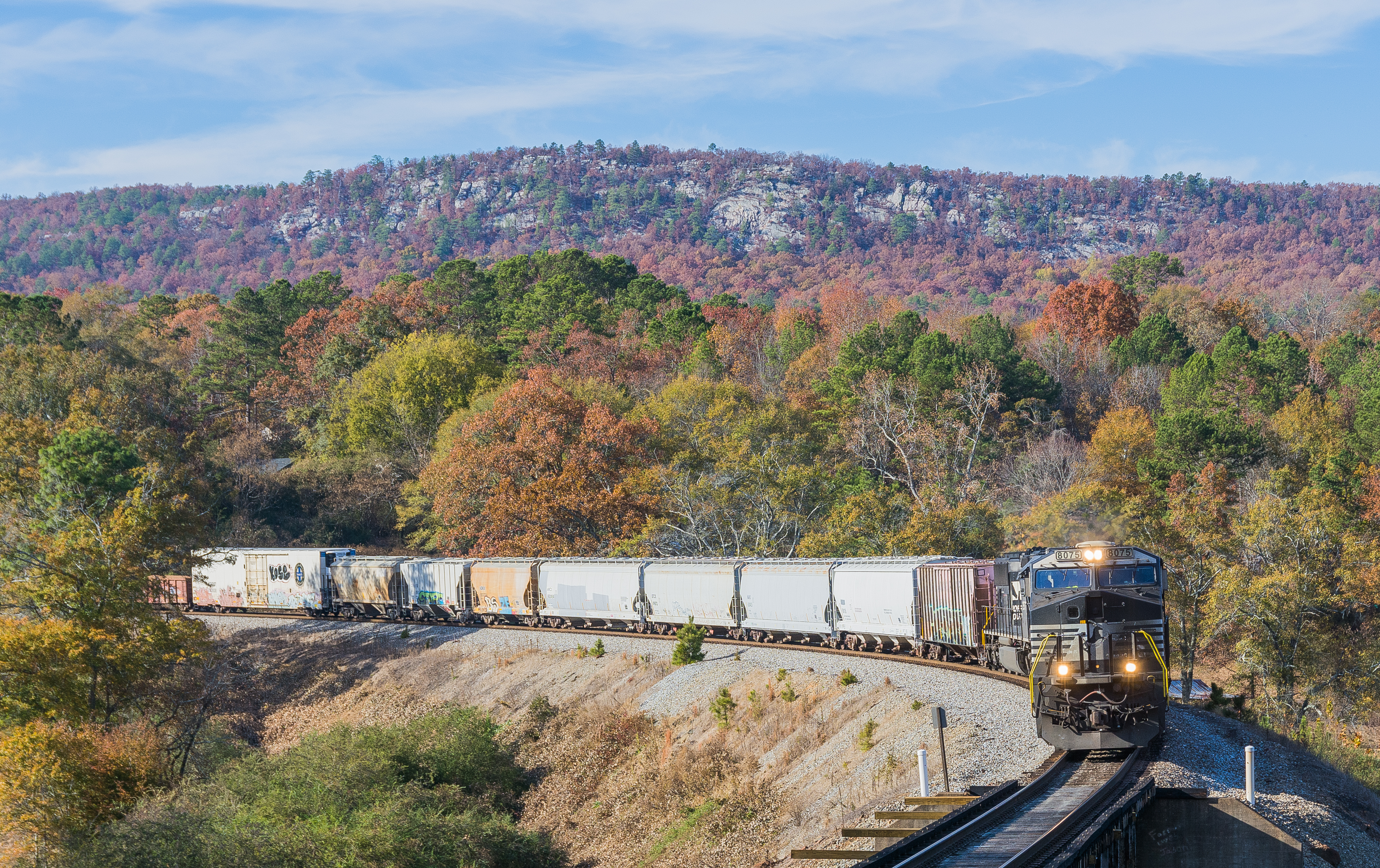
NS 172 Cook Springs Alabama

Beautiful sunset at work looking out the window! @garagecocustoms @lizard1951 @dixiedanger
186 Eastbound
NS 154 Cook Springs Alabama.
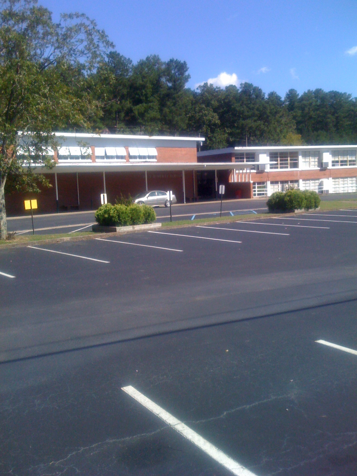
Iola Roberts Elementary School
Topographic Map of Wolf Pen Ridge Rd, Pell City, AL, USA
Find elevation by address:

Places near Wolf Pen Ridge Rd, Pell City, AL, USA:
Camp Winnataska Rd, Pell City, AL, USA
14 Sequoyah Rd, Pell City, AL, USA
Co Rd 27, Pell City, AL, USA
US-, Cropwell, AL, USA
Co Rd 55, Sterrett, AL, USA
Panola Cir, Cropwell, AL, USA
40 Perry Rd
131 River Oaks Cir
Viewpoint Cir, Pell City, AL, USA
Cropwell
Constellation Ave, Alpine, AL, USA
250 Grand Way
Funderburg Bend Rd, Pell City, AL, USA
Clear Creek Dr, Alpine, AL, USA
1305 Funderburg Bend Rd
Lake Front Dr, Talladega, AL, USA
1408 Annesley Dr
Annesley Dr, Pell City, AL, USA
44 Hilltop Ln, Alpine, AL, USA
Cedar Dr, Talladega, AL, USA
Recent Searches:
- Elevation of Fern Rd, Whitmore, CA, USA
- Elevation of 62 Abbey St, Marshfield, MA, USA
- Elevation of Fernwood, Bradenton, FL, USA
- Elevation of Felindre, Swansea SA5 7LU, UK
- Elevation of Leyte Industrial Development Estate, Isabel, Leyte, Philippines
- Elevation of W Granada St, Tampa, FL, USA
- Elevation of Pykes Down, Ivybridge PL21 0BY, UK
- Elevation of Jalan Senandin, Lutong, Miri, Sarawak, Malaysia
- Elevation of Bilohirs'k
- Elevation of 30 Oak Lawn Dr, Barkhamsted, CT, USA