Elevation of US-62, Killbuck, OH, USA
Location: United States > Ohio > Holmes County > Richland Township >
Longitude: -82.094359
Latitude: 40.460709
Elevation: 271m / 889feet
Barometric Pressure: 98KPa
Elevation Map:
Satellite Map:
Related Photos:
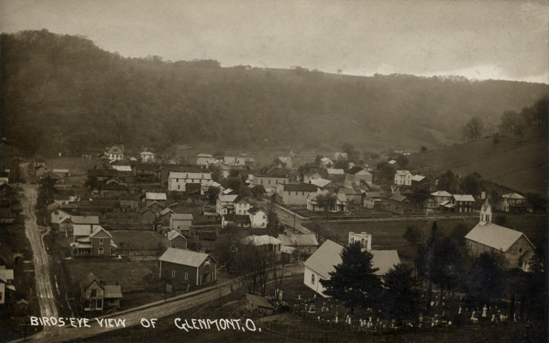
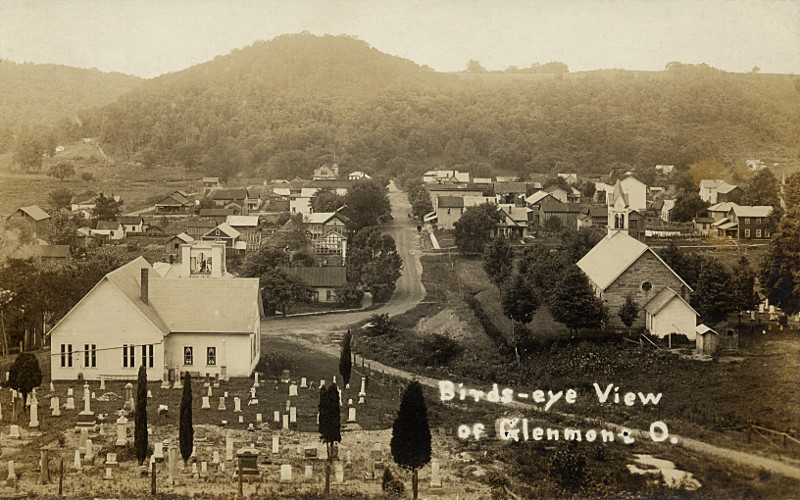
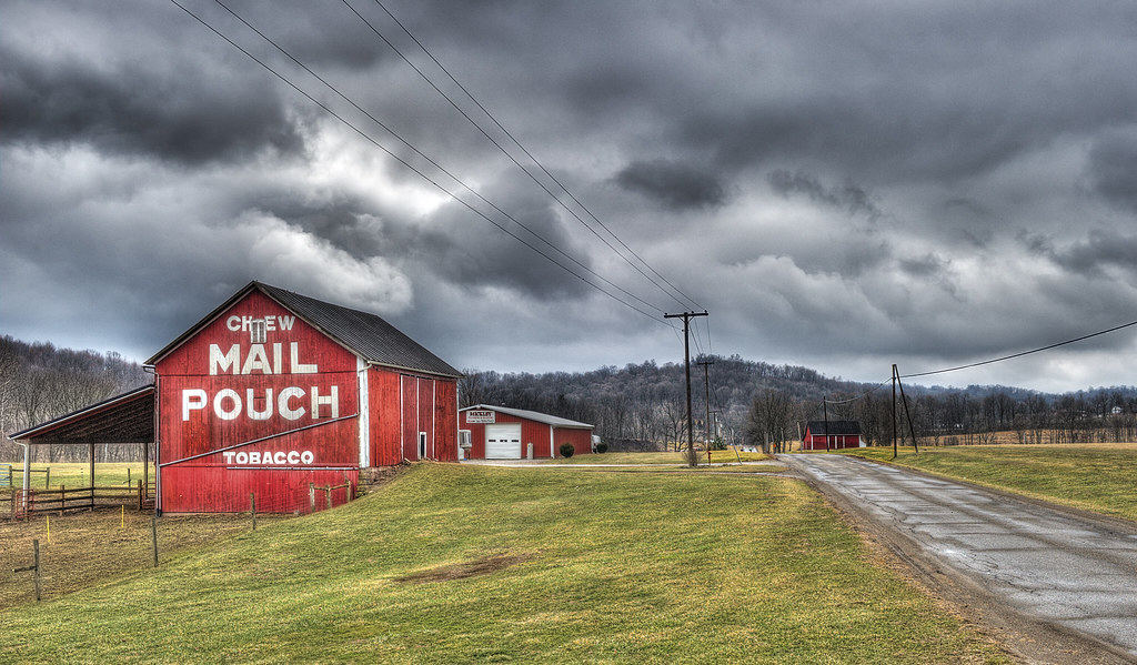
Glenmont, Holmes County Ohio, Birds Eye View
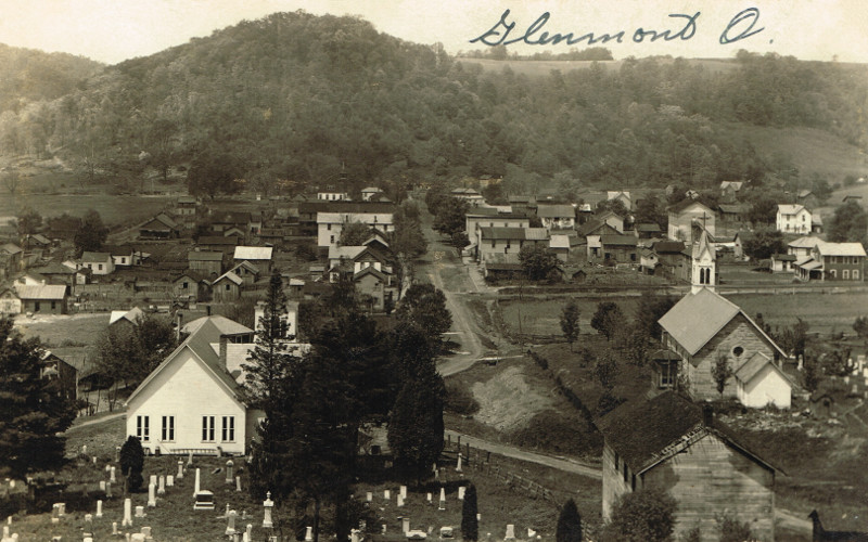
Glenmont, Holmes County Ohio, Birds Eye View

Killbuck, Holmes County Ohio, View on N Main St
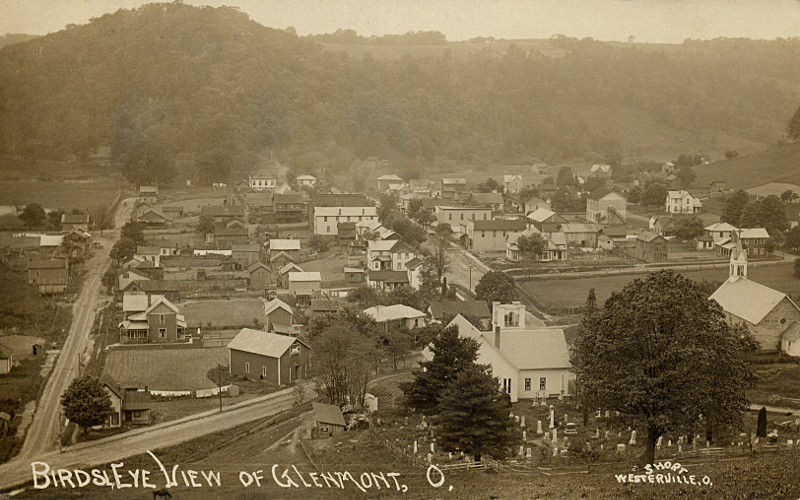
Glenmont, Holmes County Ohio, Birds Eye View
Killbuck, Holmes County Ohio, View on S Main St
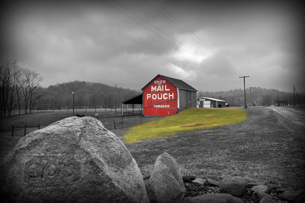
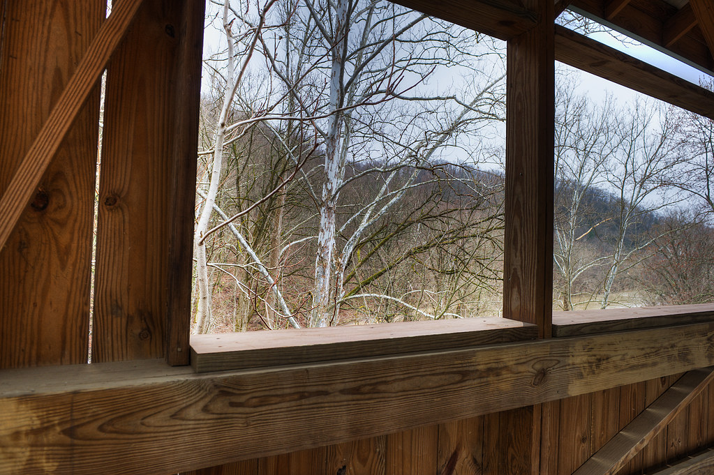
Promise of Spring...
Glenmont, Holmes County Ohio, Birds Eye View
Glenmont, Holmes County Ohio, Birds Eye View
Glenmont, Holmes County Ohio, Birds Eye View
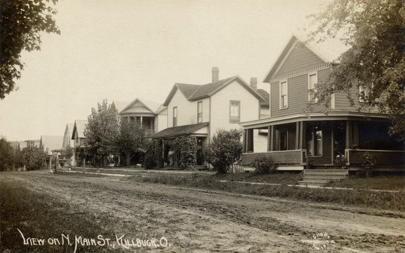
Killbuck, Holmes County Ohio, View on N Main St
Glenmont, Holmes County Ohio, East Main Street
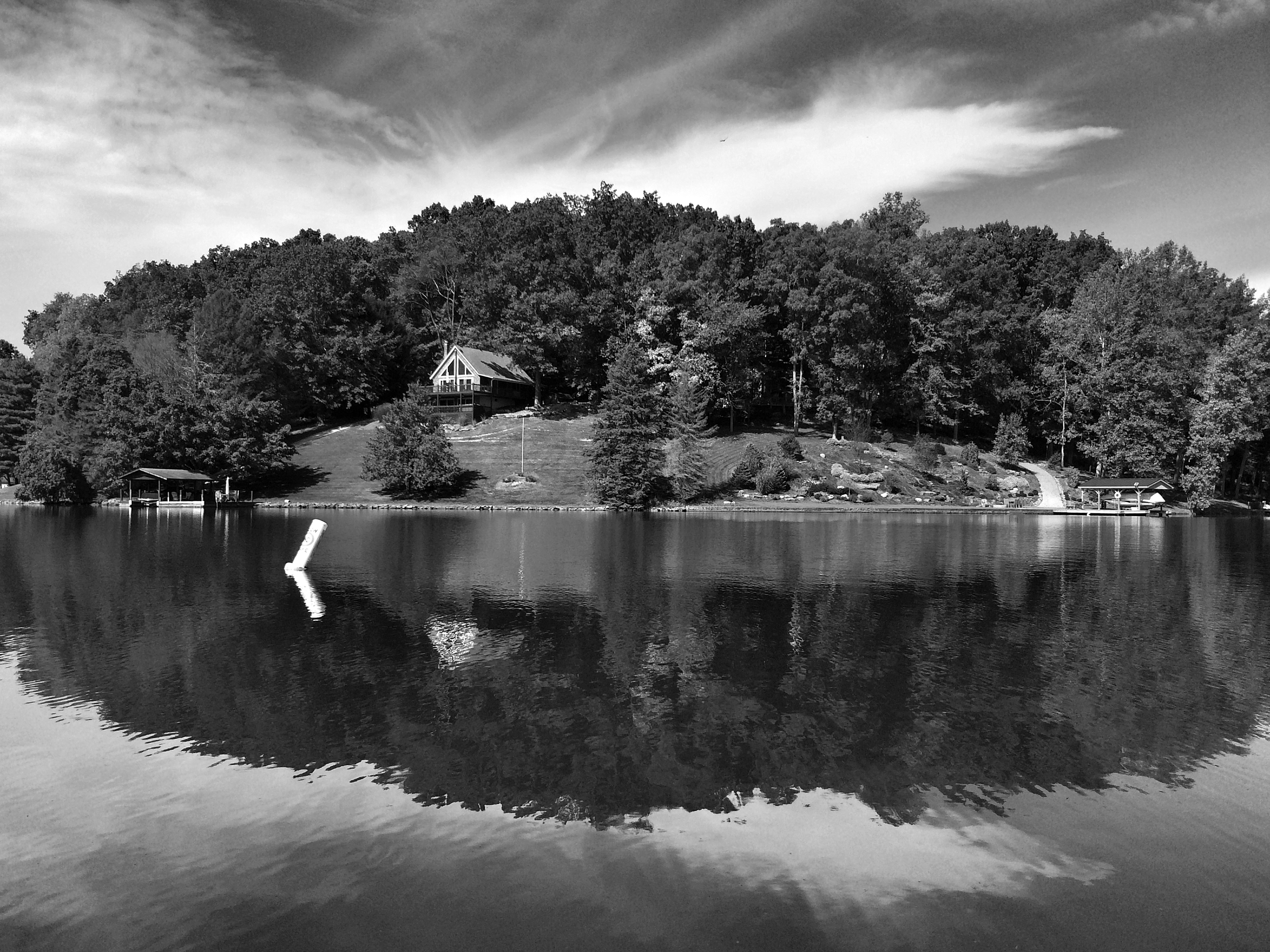
River view

Glenmont, Holmes County Ohio, Birds Eye View
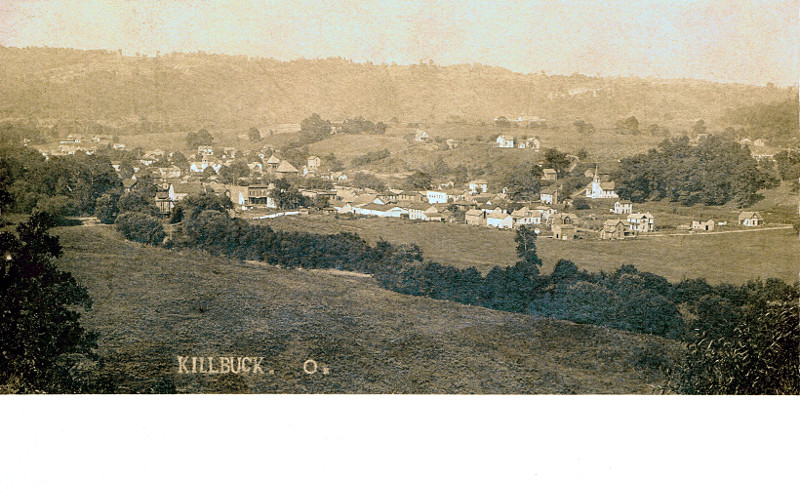
Killbuck, Holmes County Ohio, Birds Eye View
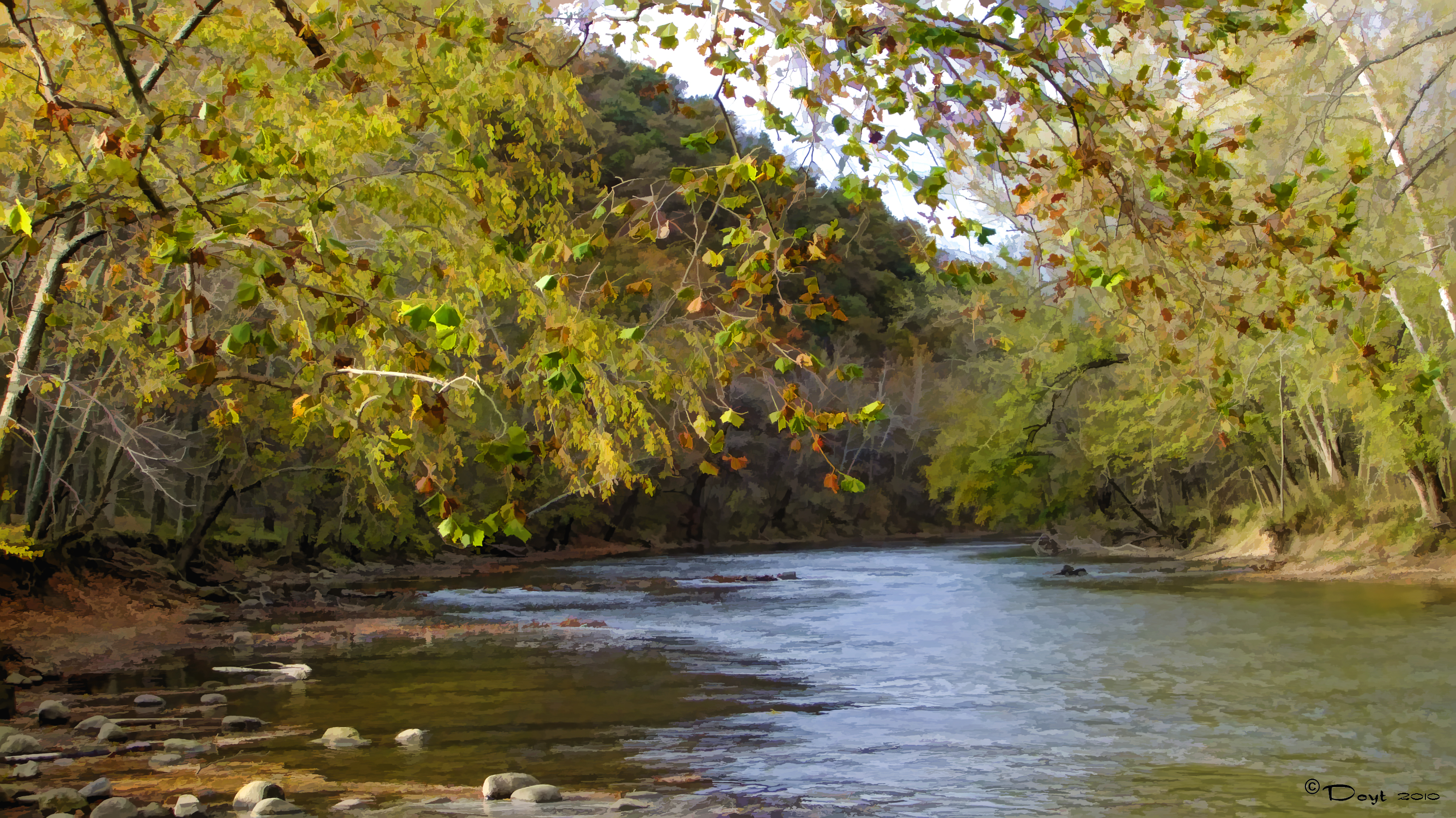
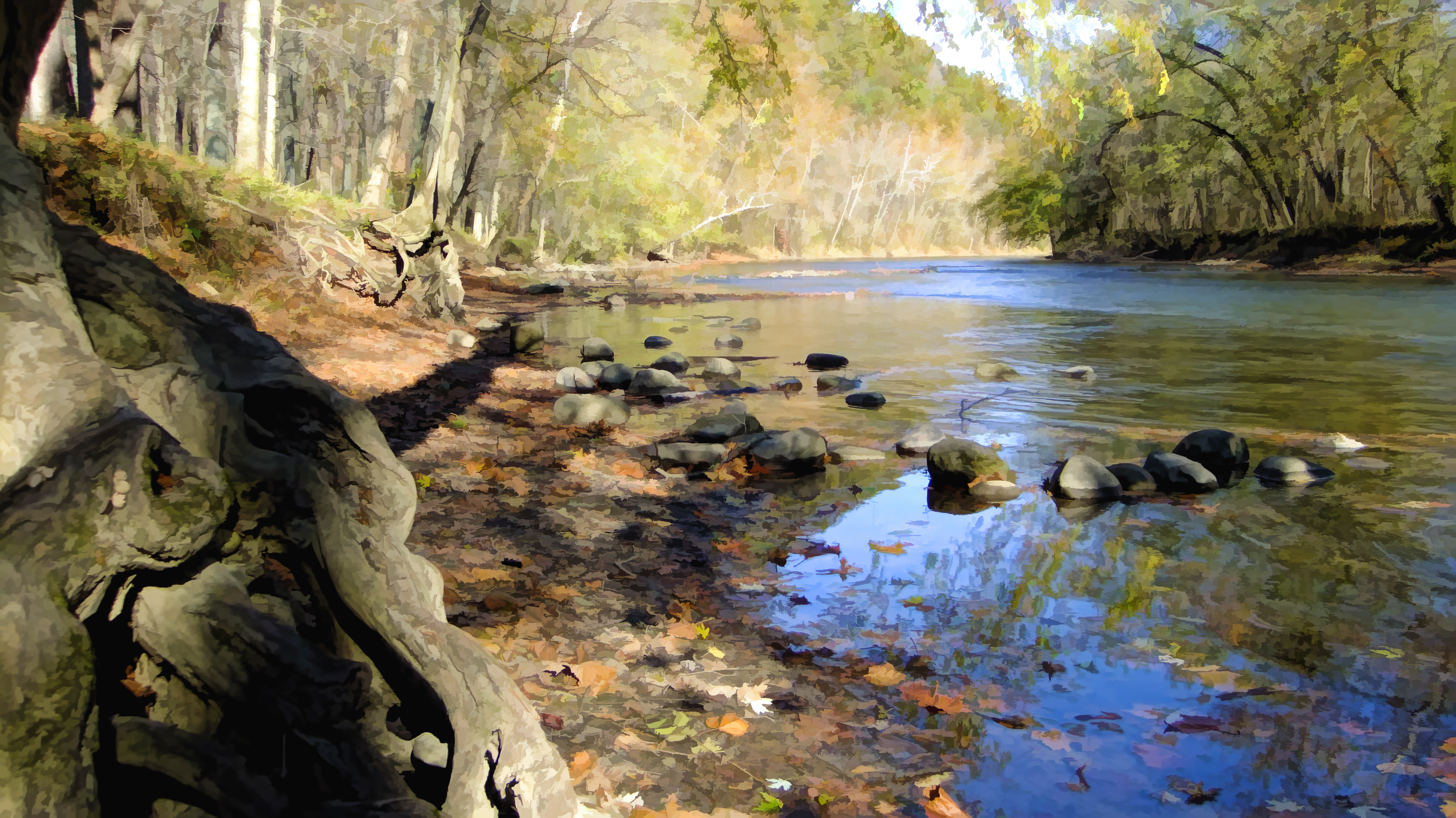
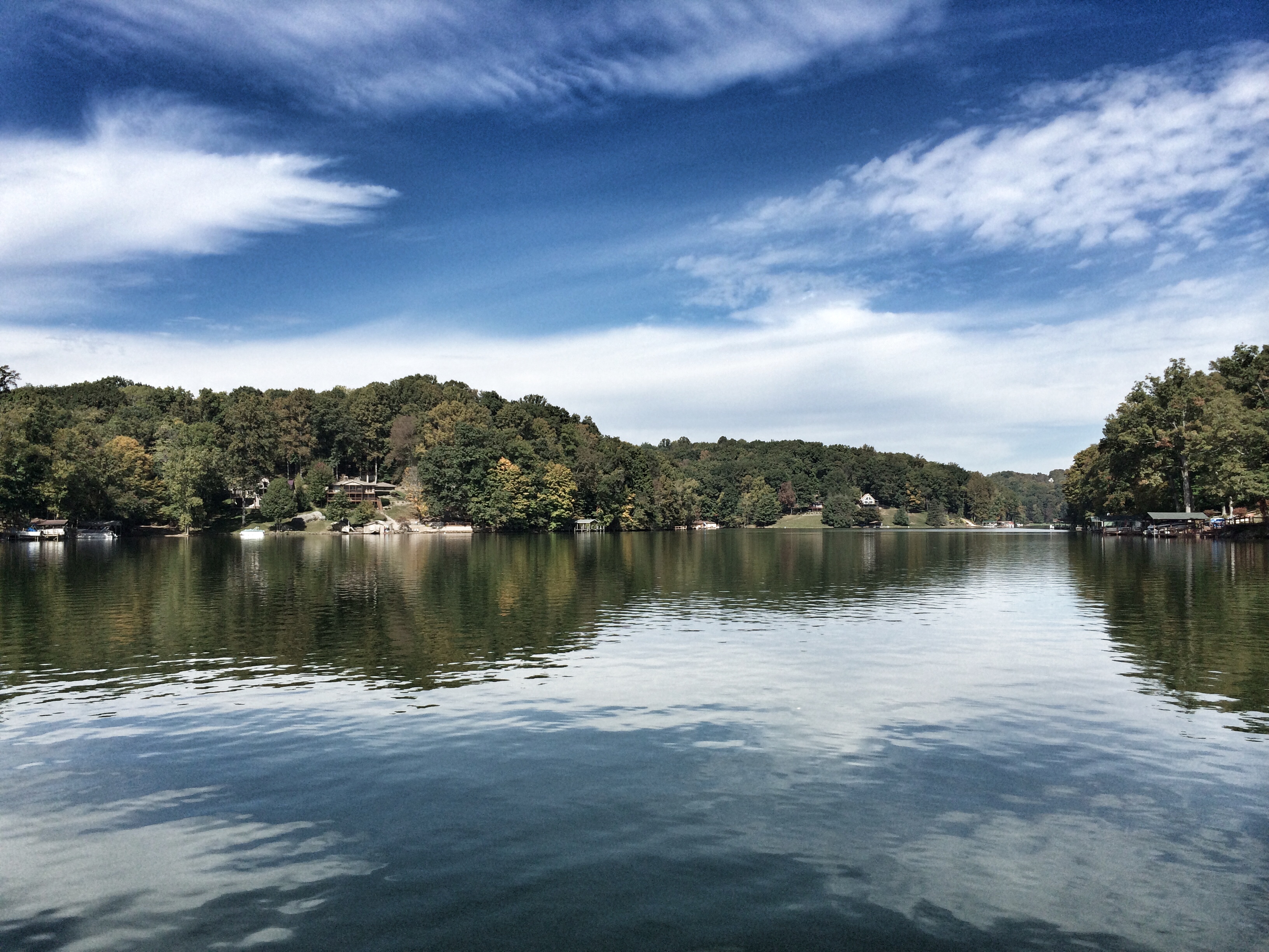
Mohican River View

Glenmont, Holmes County Ohio, Birds Eye View

Killbuck, Holmes County Ohio, Birds Eye View
Branch office...
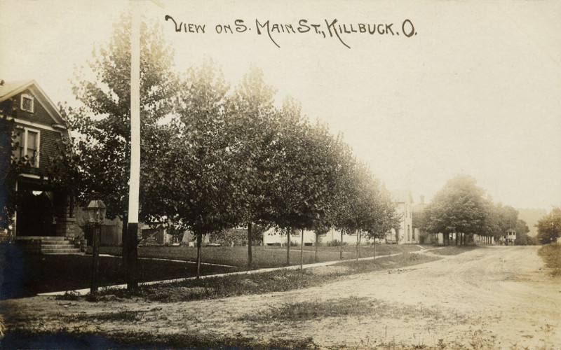
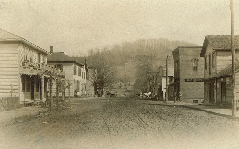
Killbuck, Holmes County Ohio, View on S Main St
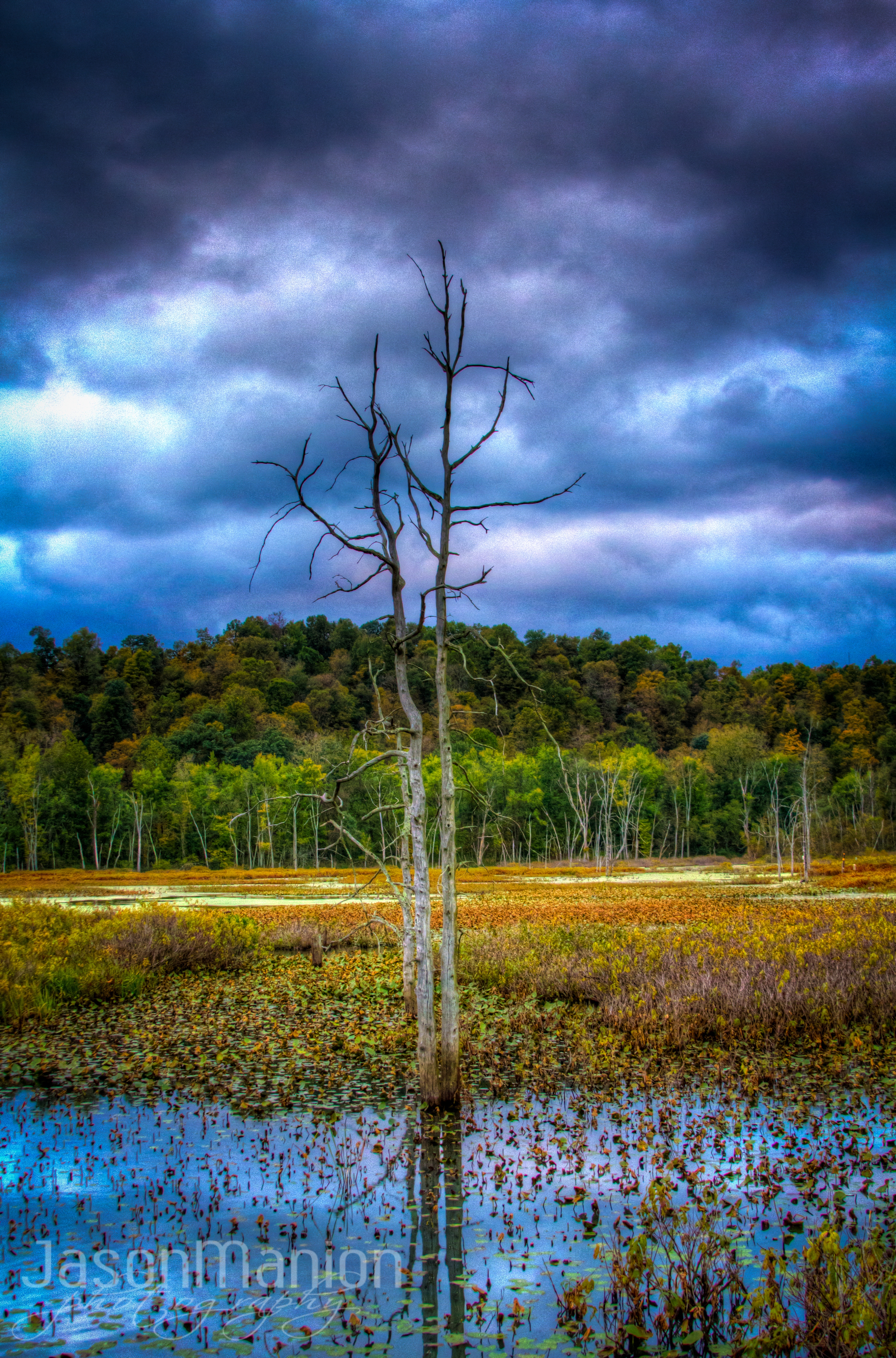
The Marsh - HDR

Fall shots 2014
After the rain...

Ohio, Holmes County Fall 2012
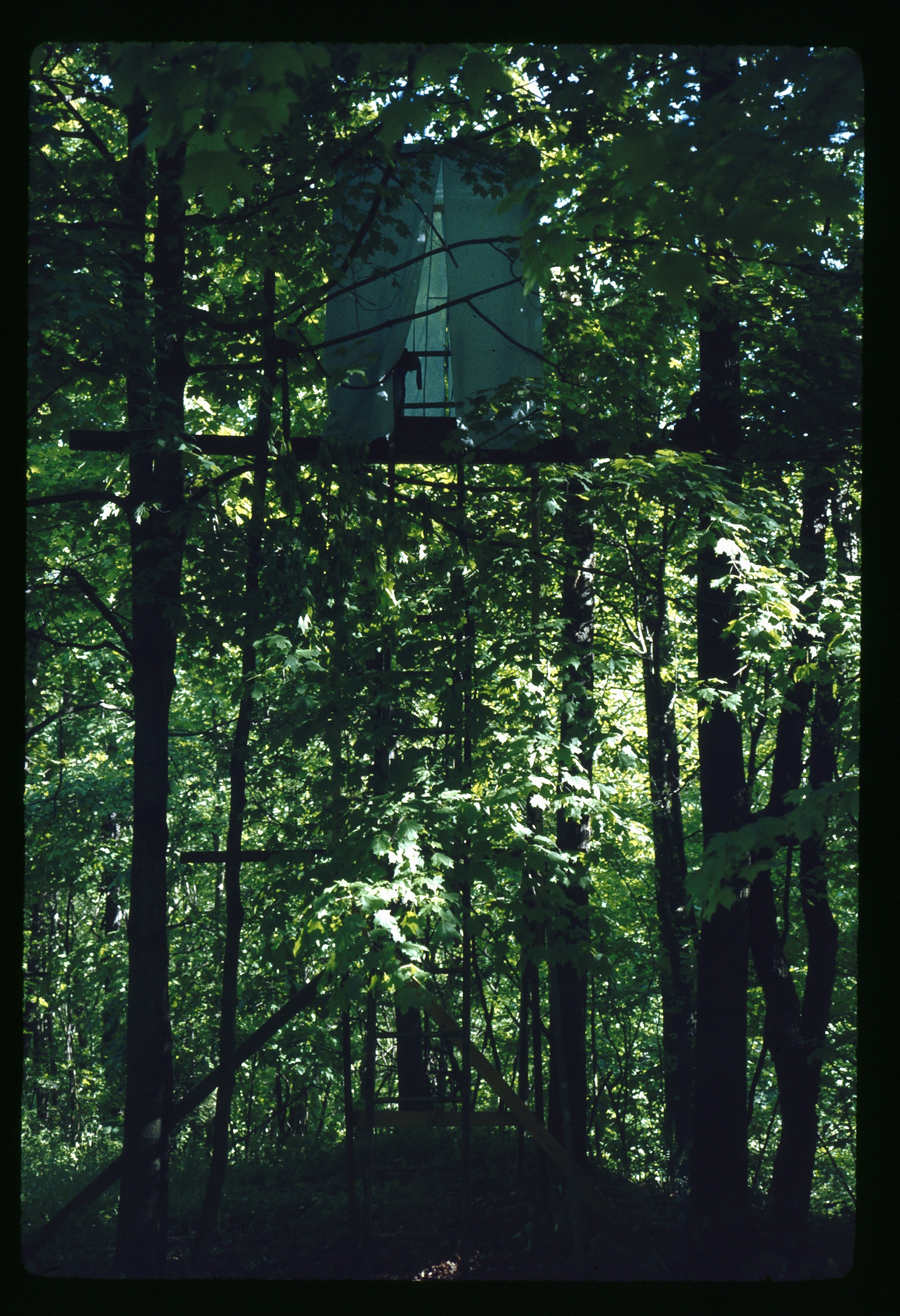
May 1 1974 Blind set up for following flicker shots
Fall shots 2014
Fall shots 2014

DSC02510 (1)

Country Sunset

Swing Bridge
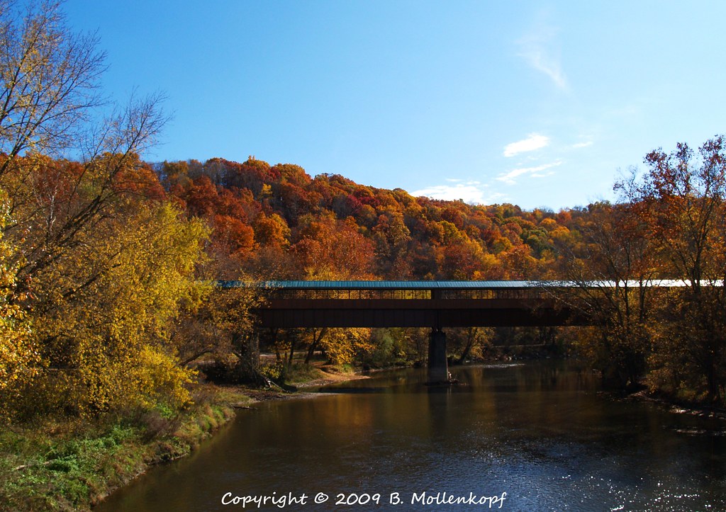
Ohio Longest Covered Bridge

Catch me if you can.

Mohican Pow Wow - 05
Eye candy
Gravel travel.
Field of gold.....
Topographic Map of US-62, Killbuck, OH, USA
Find elevation by address:

Places near US-62, Killbuck, OH, USA:
1385 Oh-206
Richland Township
Glenmont
Spring Mountain Cemetery
Monroe Township
Brinkhaven
W Front St, Killbuck, OH, USA
Kokosing River
Jefferson Township
Newcastle Township
Township Rd, Killbuck, OH, USA
14381 Mowery Rd
Township Rd 53, Warsaw, OH, USA
Millersburg St, Nashville, OH, USA
Union Township
OH-, Walhonding, OH, USA
9082 Us-62
Warsaw
Township Rd, Millersburg, OH, USA
Township Rd, Warsaw, OH, USA
Recent Searches:
- Elevation of Elwyn Dr, Roanoke Rapids, NC, USA
- Elevation of Congressional Dr, Stevensville, MD, USA
- Elevation of Bellview Rd, McLean, VA, USA
- Elevation of Stage Island Rd, Chatham, MA, USA
- Elevation of Shibuya Scramble Crossing, 21 Udagawacho, Shibuya City, Tokyo -, Japan
- Elevation of Jadagoniai, Kaunas District Municipality, Lithuania
- Elevation of Pagonija rock, Kranto 7-oji g. 8"N, Kaunas, Lithuania
- Elevation of Co Rd 87, Jamestown, CO, USA
- Elevation of Tenjo, Cundinamarca, Colombia
- Elevation of Côte-des-Neiges, Montreal, QC H4A 3J6, Canada