Elevation of OH-, Walhonding, OH, USA
Location: United States > Ohio > Coshocton County >
Longitude: -82.16555
Latitude: 40.334874
Elevation: 366m / 1201feet
Barometric Pressure: 97KPa
Elevation Map:
Satellite Map:
Related Photos:
Promise of Spring...
Branch office...
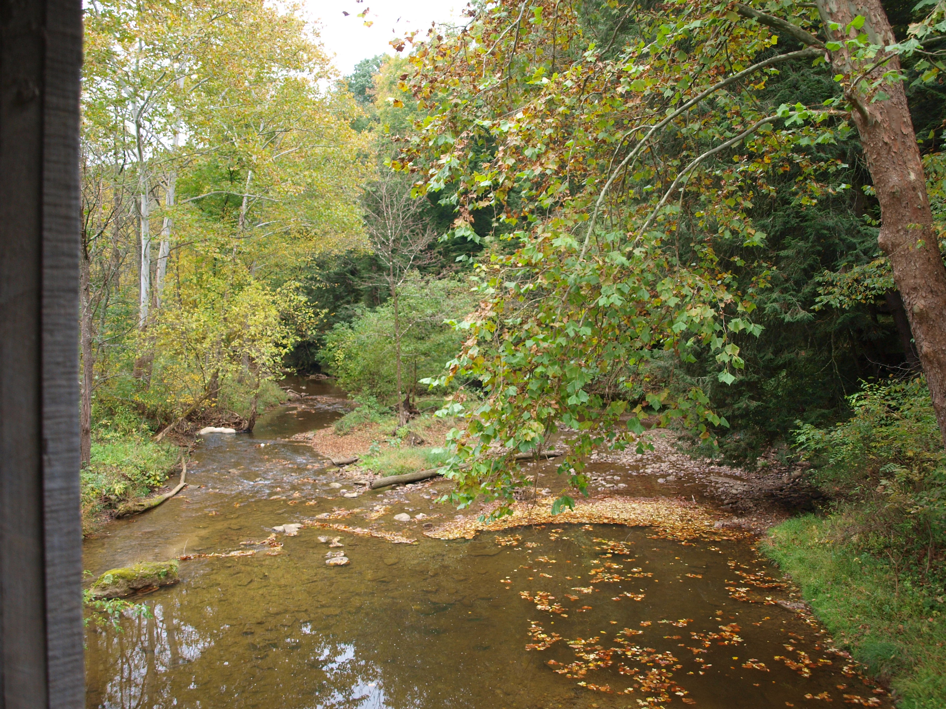
Gregg Covered Bridge, left side creek view, Licking County, Ohio
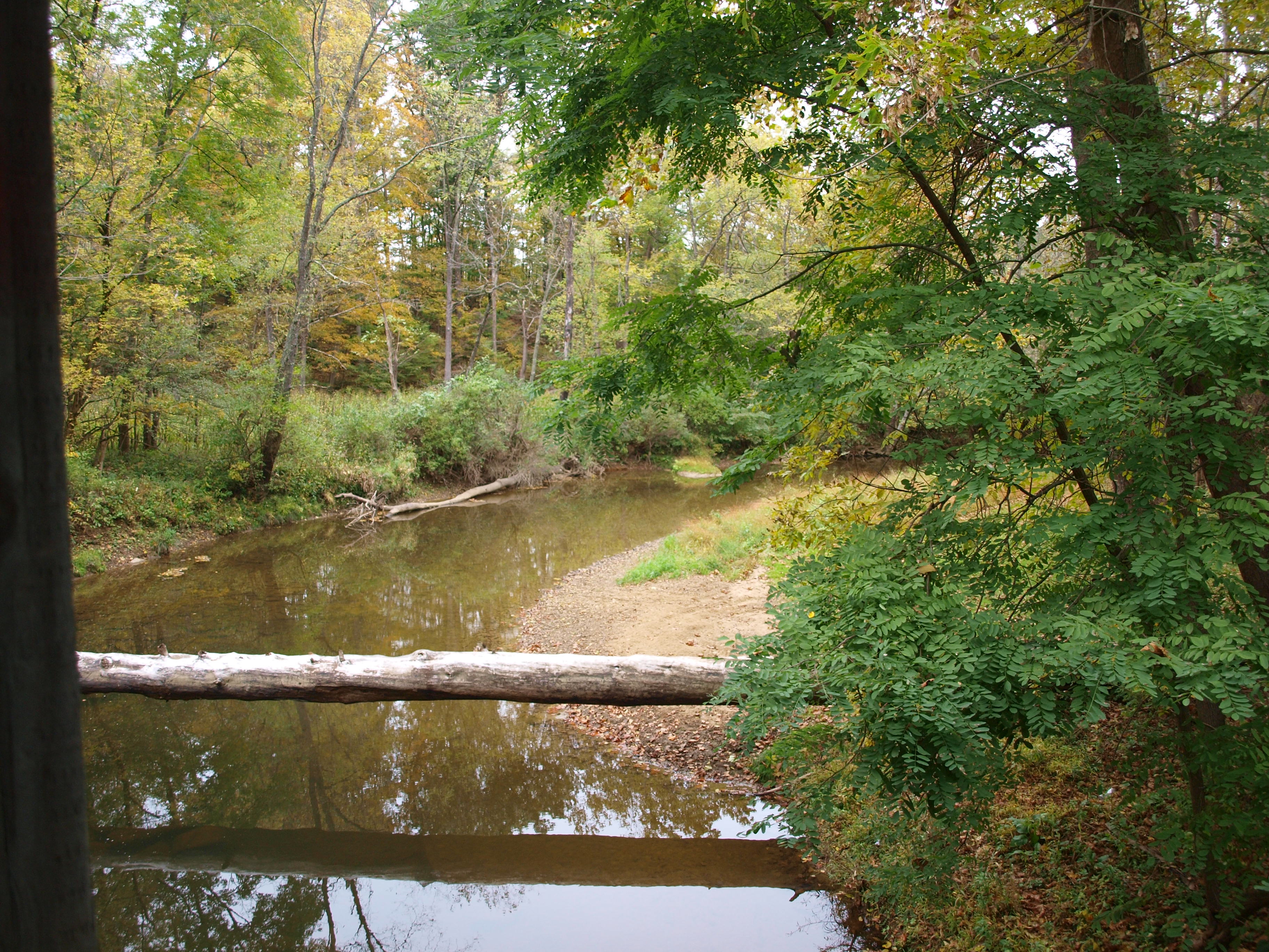
Gregg Covered Bridge, right side creek view, Licking County, Ohio

Girl Scout Camp Covered Bridge, creek view from vandal damage, Licking County, Ohio
Girl Scout Camp Covered Bridge, cross creek view, Licking County, Ohio
Girl Scout Camp Covered Bridge, barrel view, Licking County, Ohio
Gregg Covered Bridge, barrel view, Licking County, Ohio
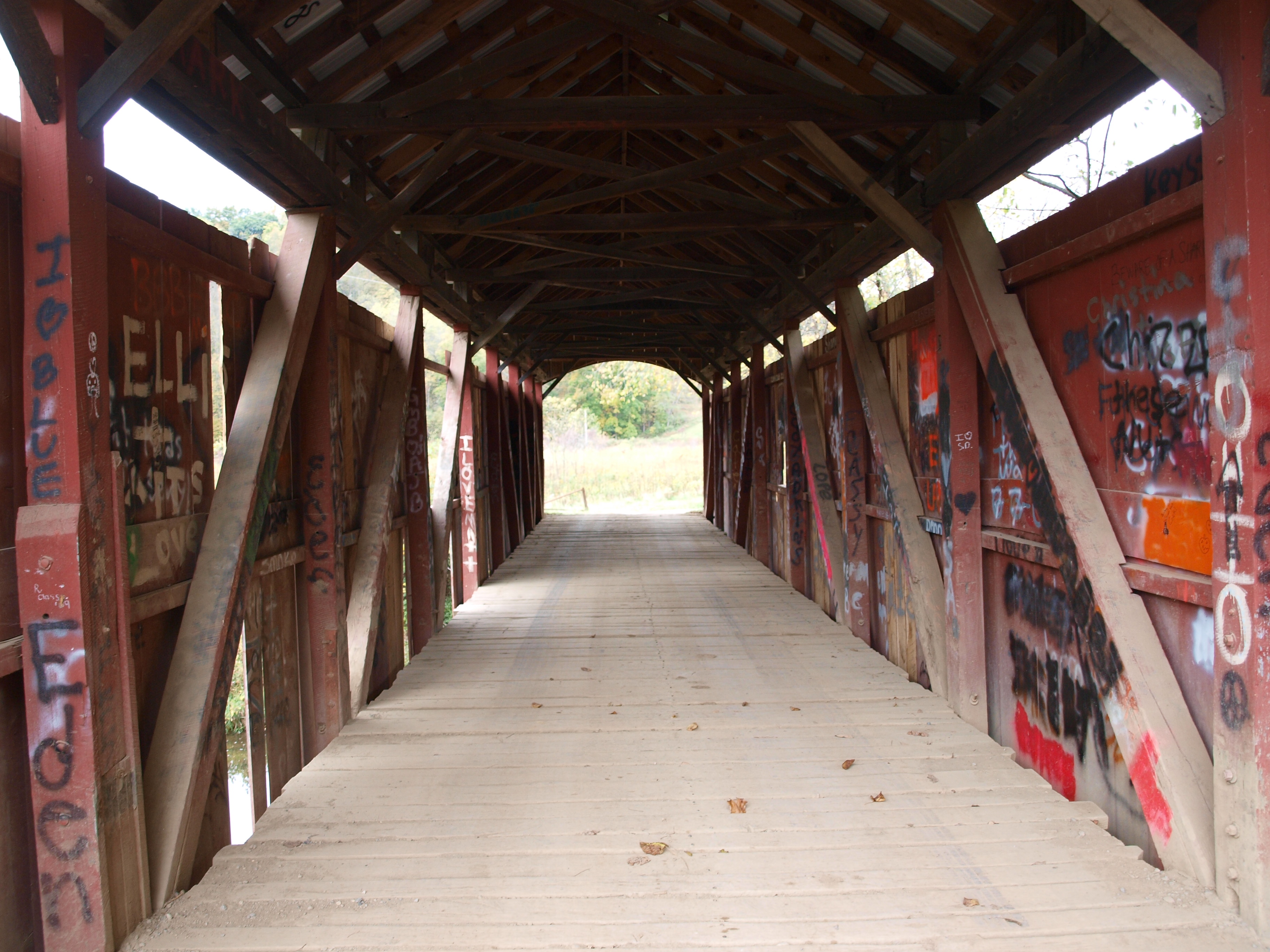
Girl Scout Camp Covered Bridge, floor view, Licking County, Ohio
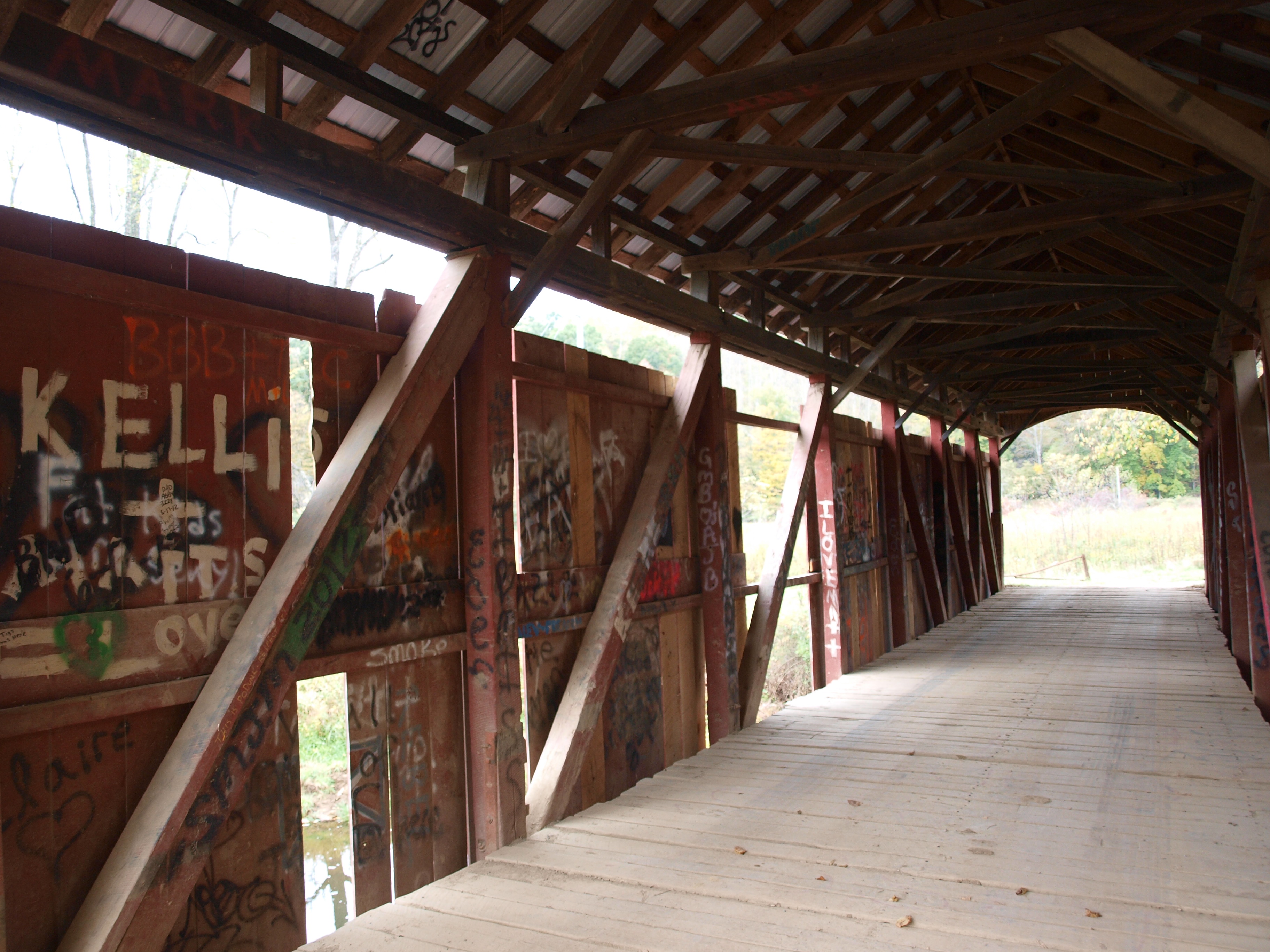
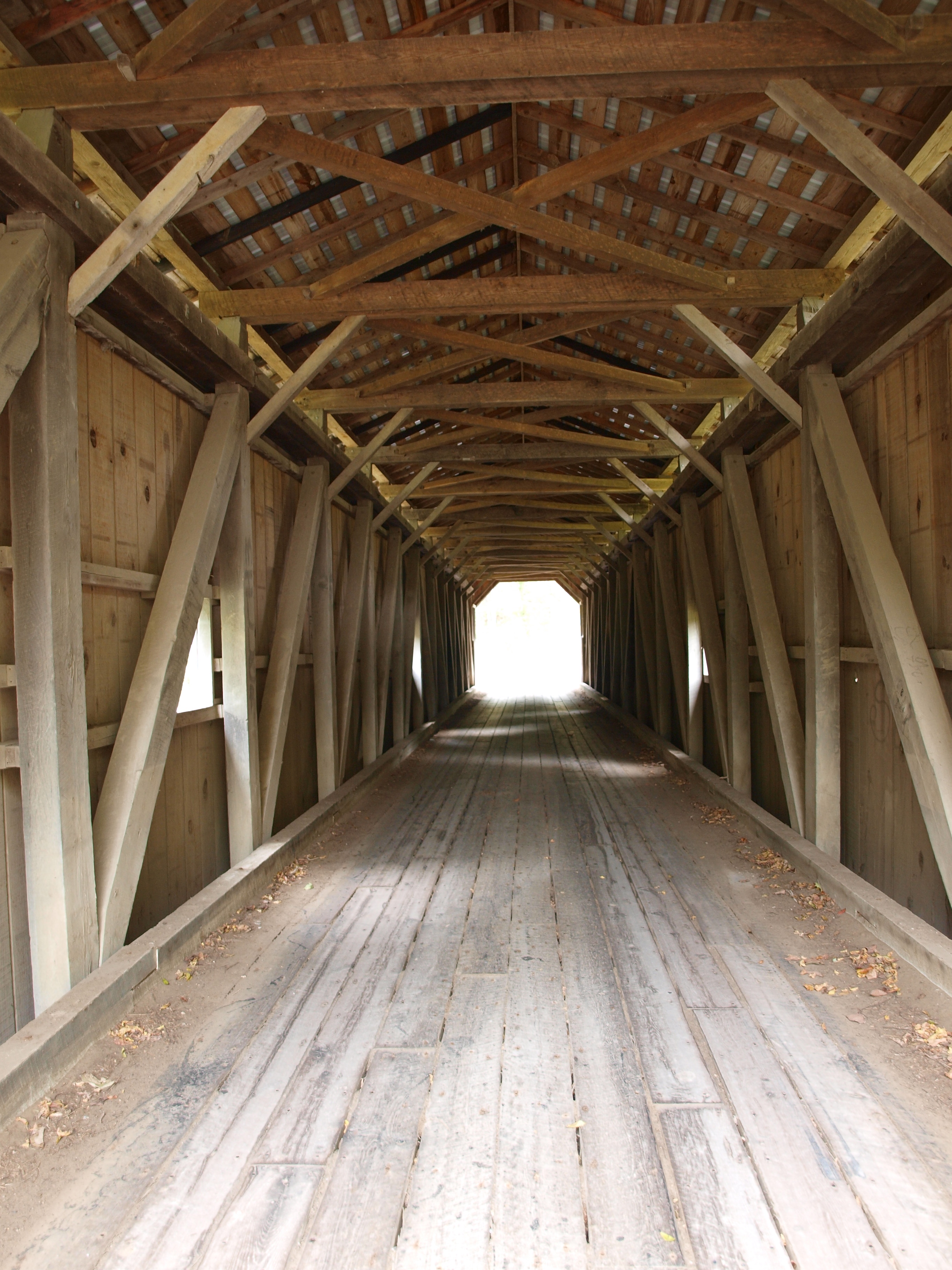
Girl Scout Camp Covered Bridge, truss view, Licking County, Ohio
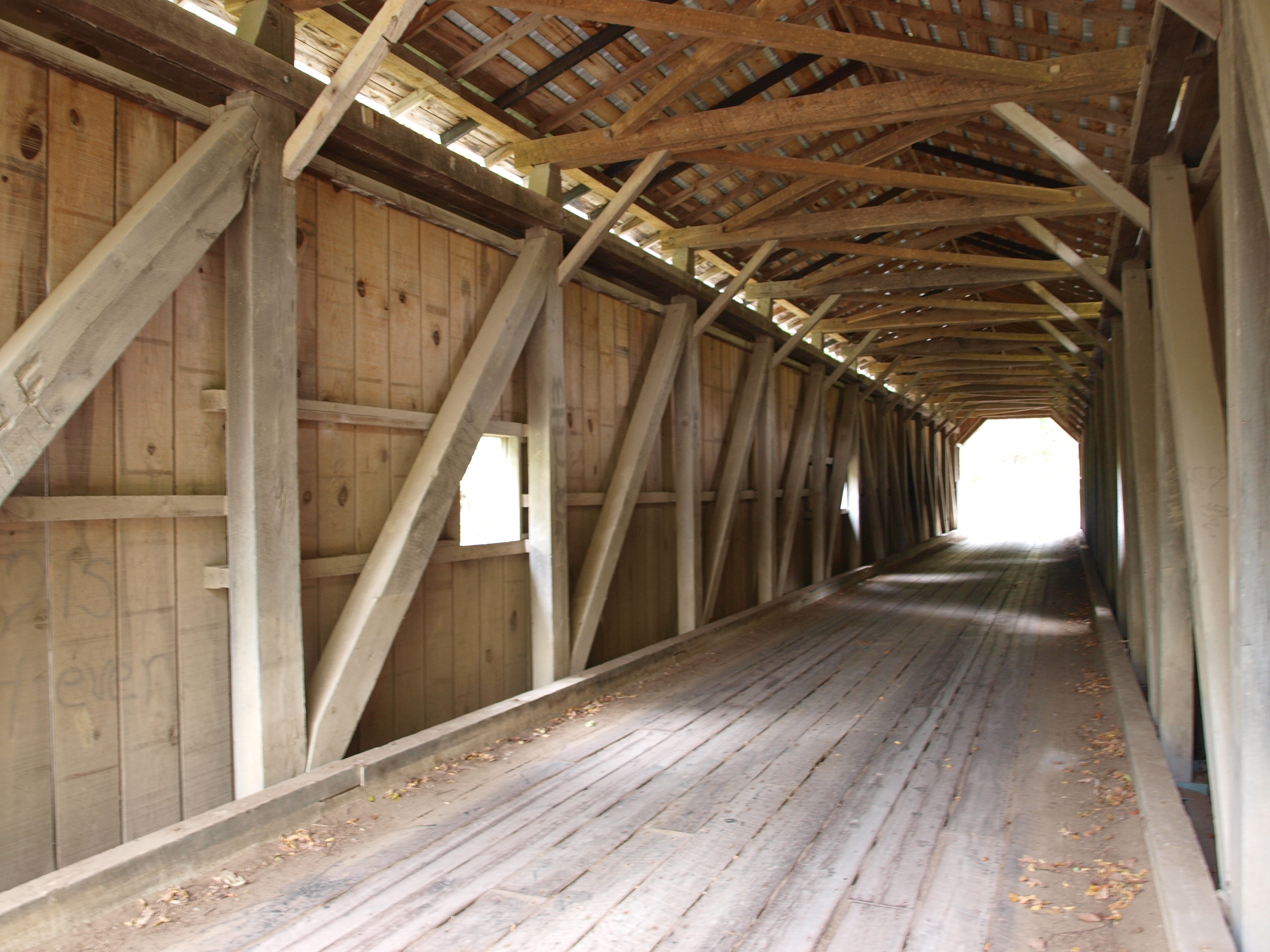
Gregg Covered Bridge, truss view, Licking County, Ohio
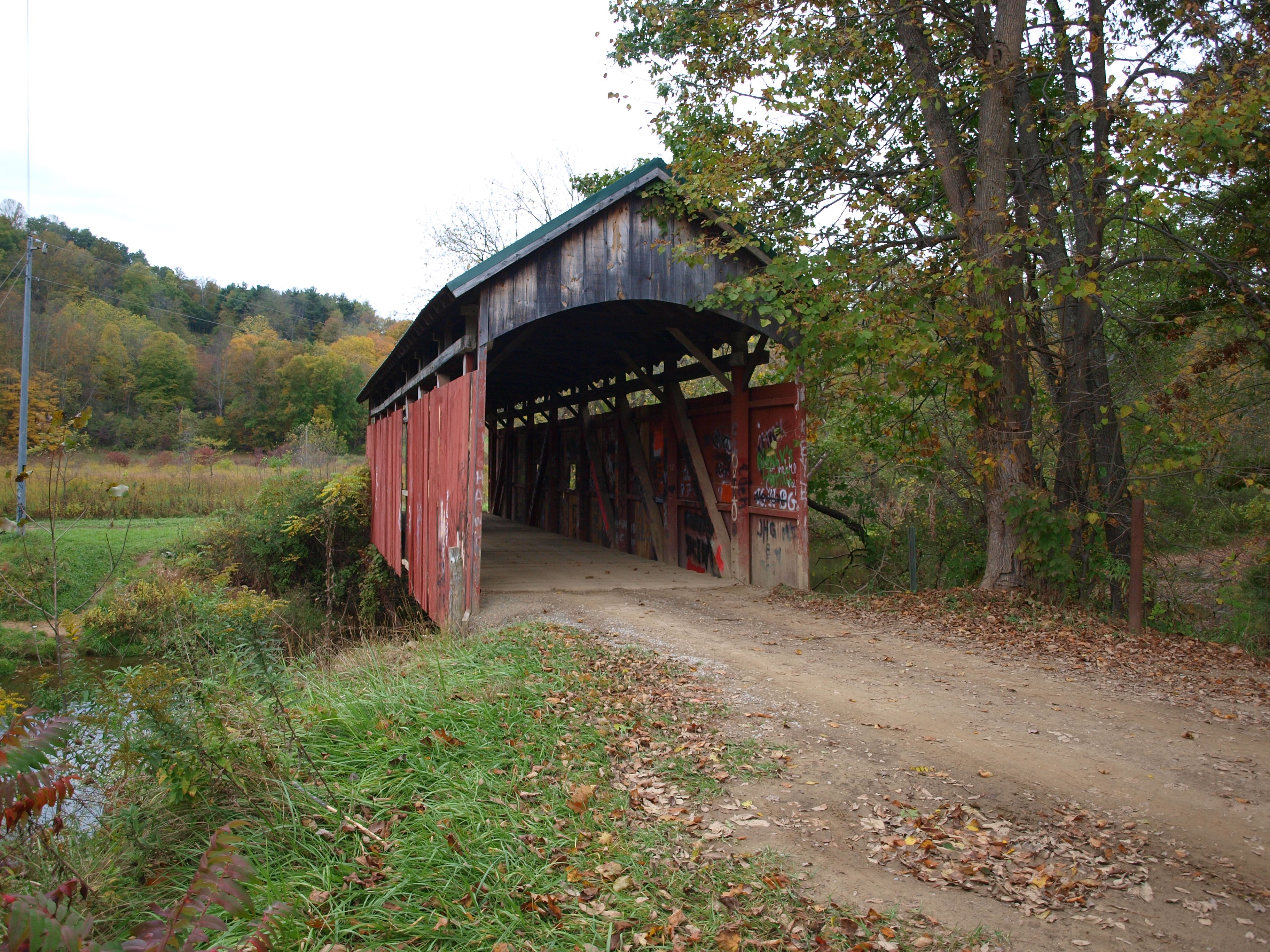
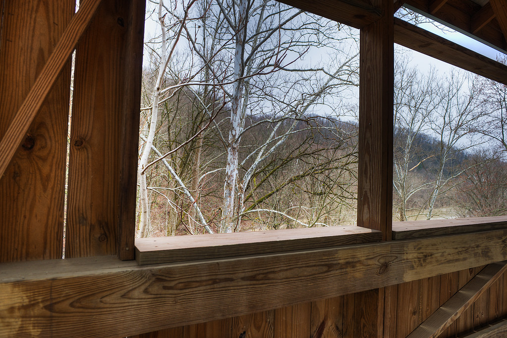
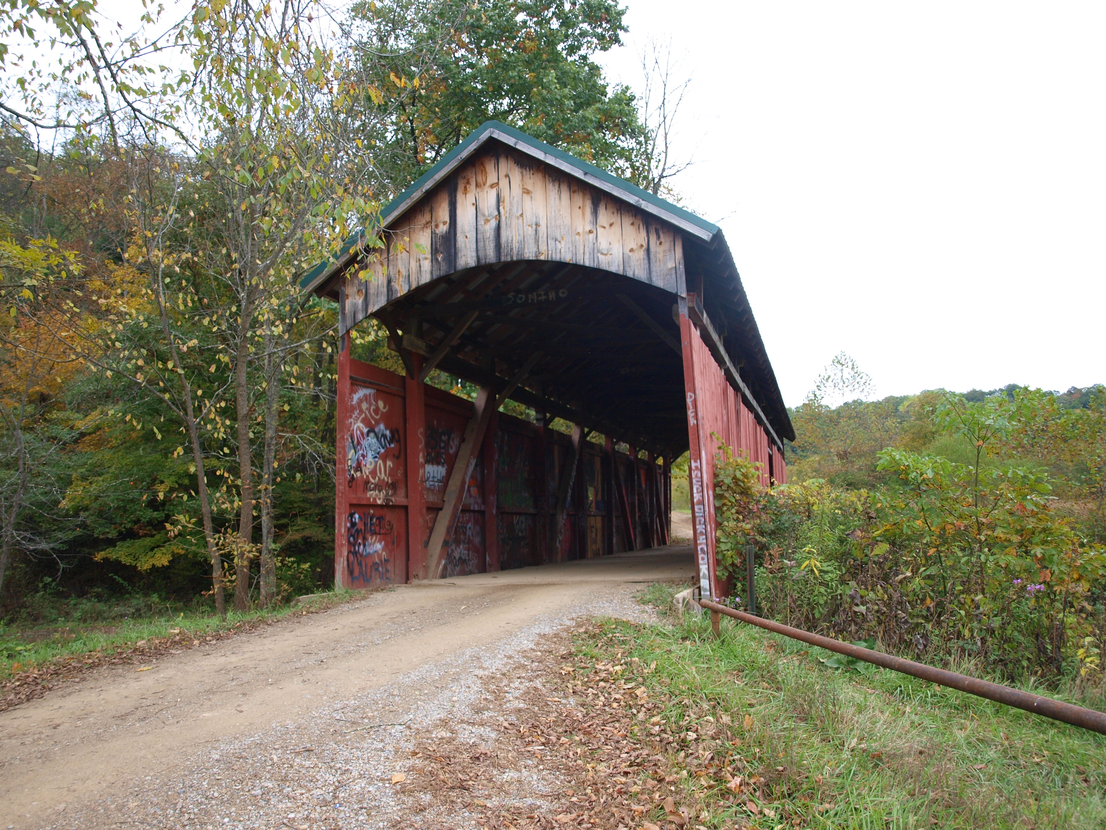
Girl Scout Camp Covered Bridge, side view, Licking County, Ohio
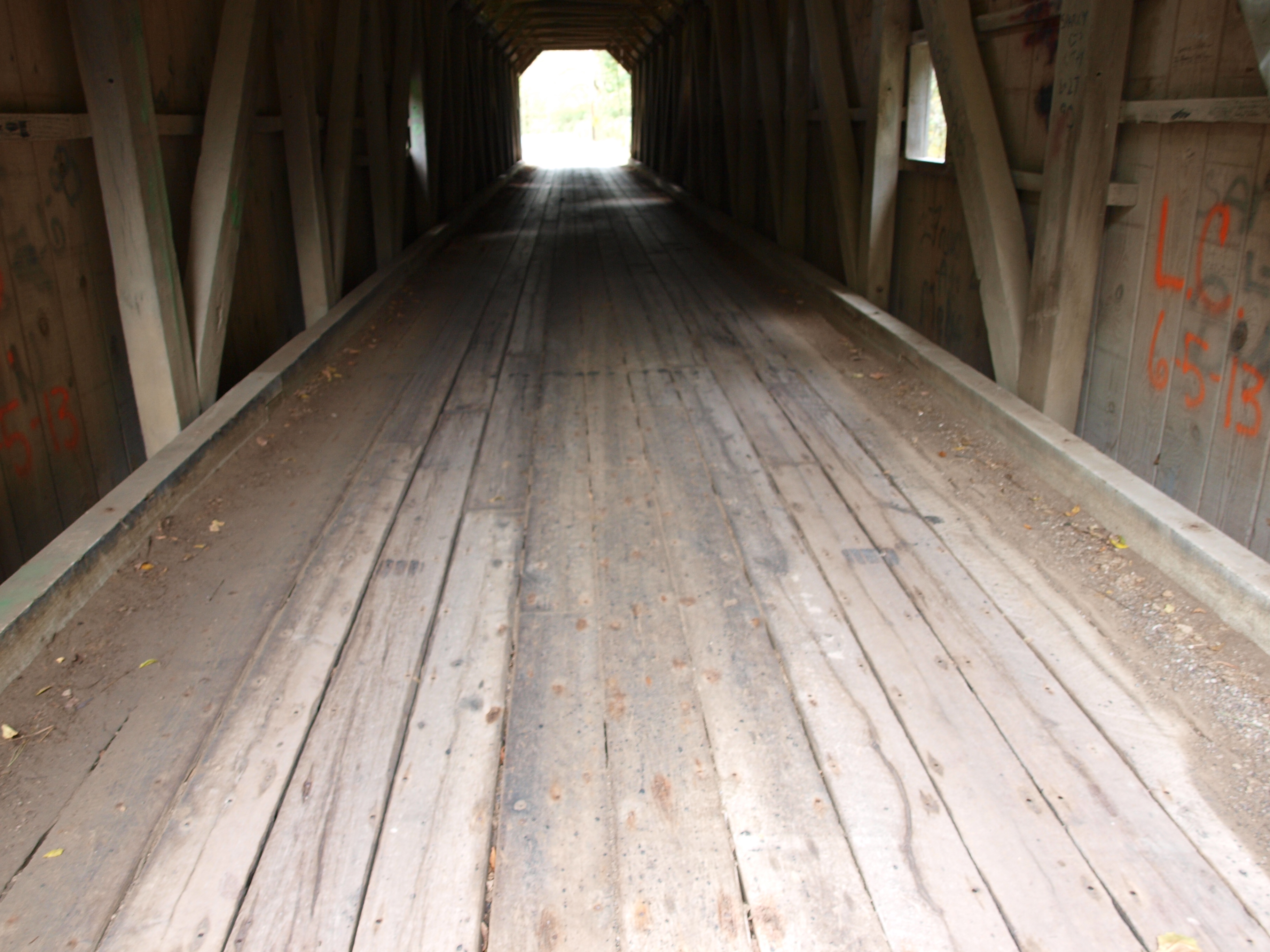
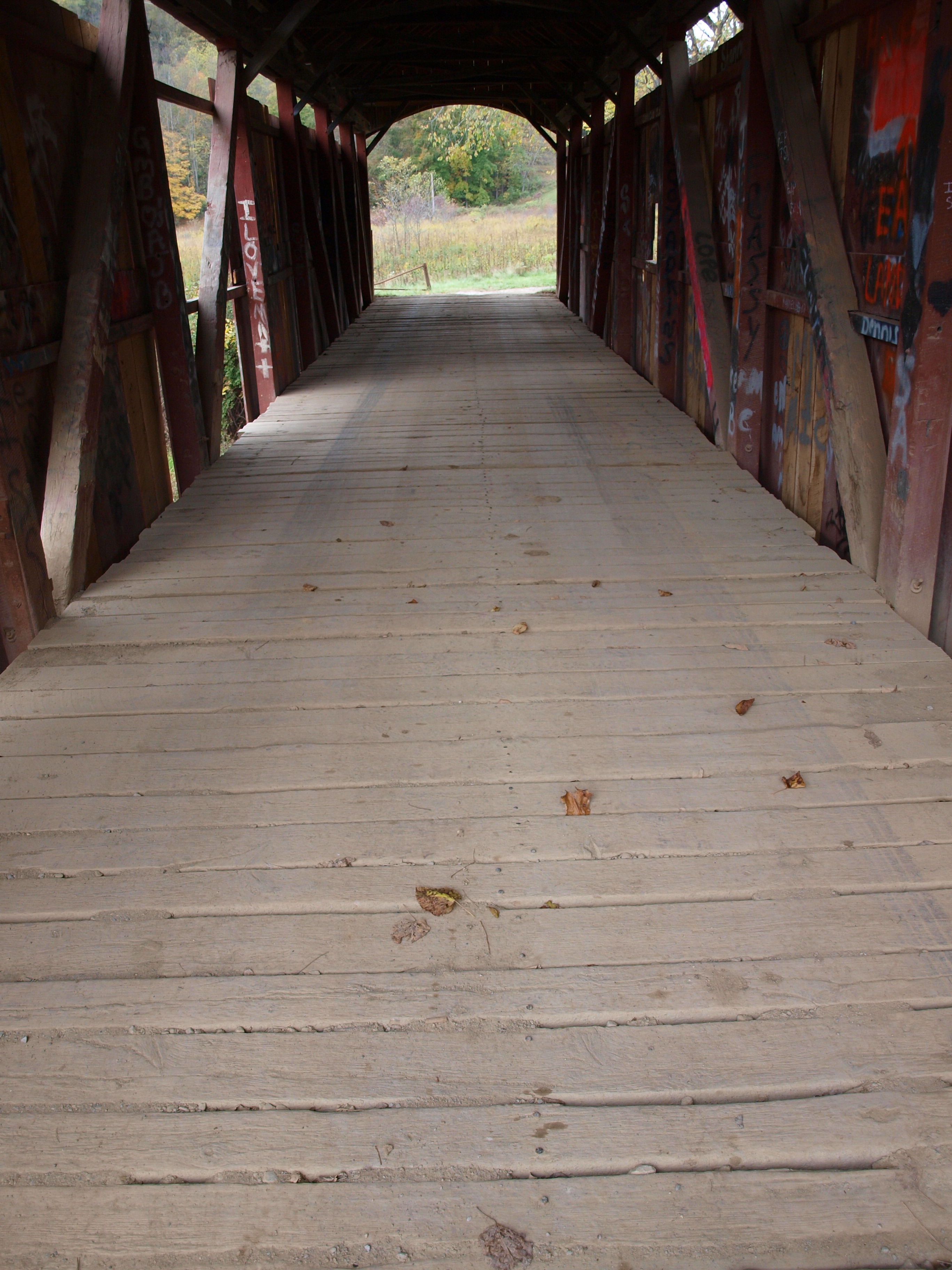
Gregg Covered Bridge, floor view, Licking County, Ohio
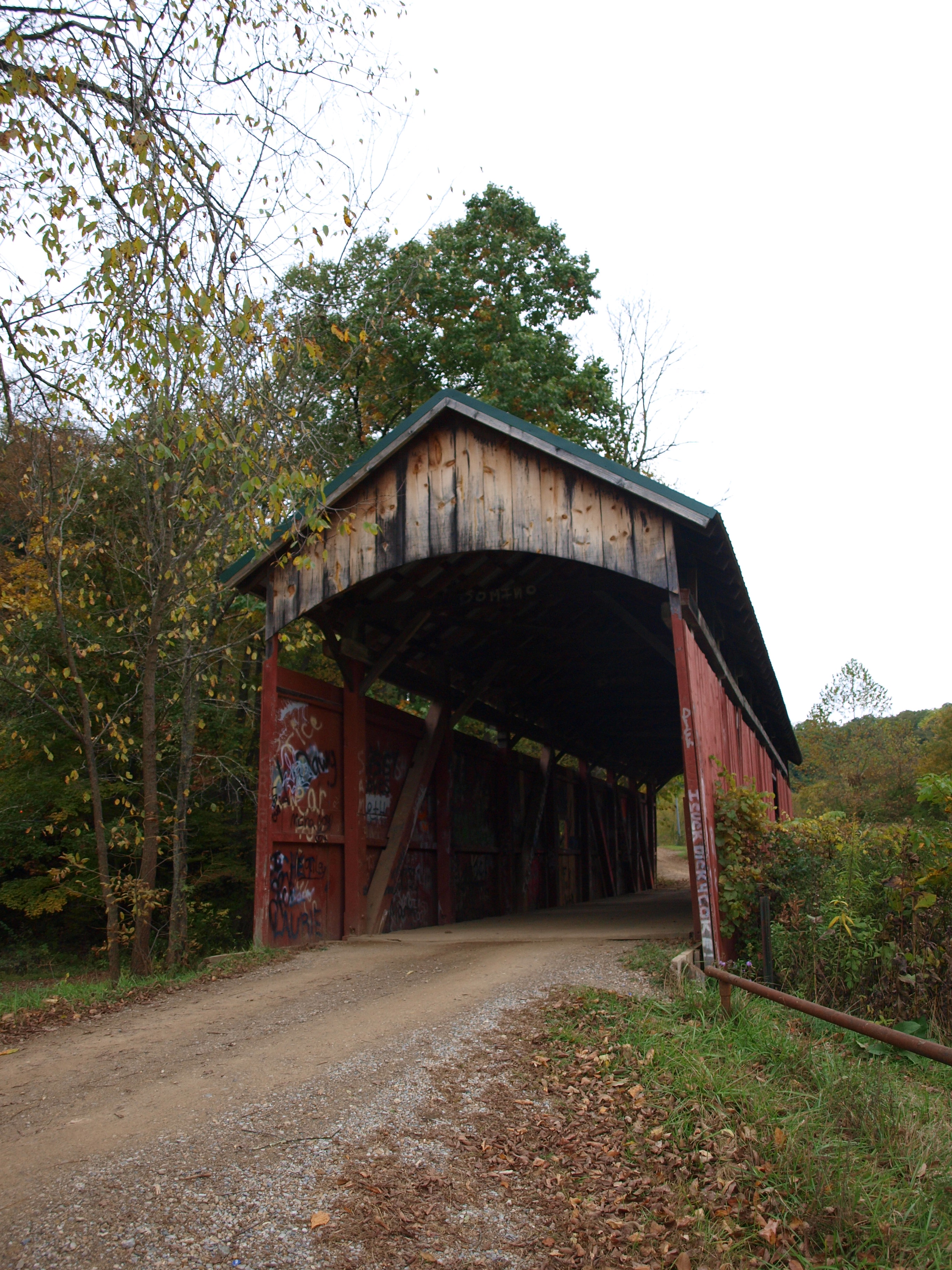
Girl Scout Camp Covered Bridge, cross creek view, Licking County, Ohio (2)
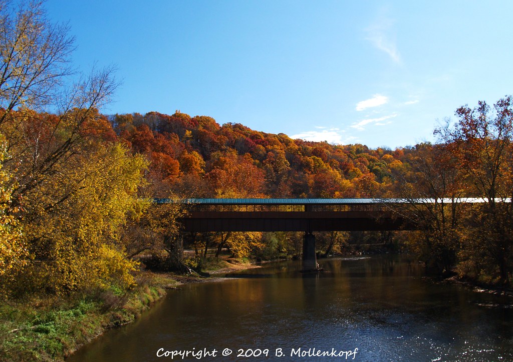
Ohio Longest Covered Bridge
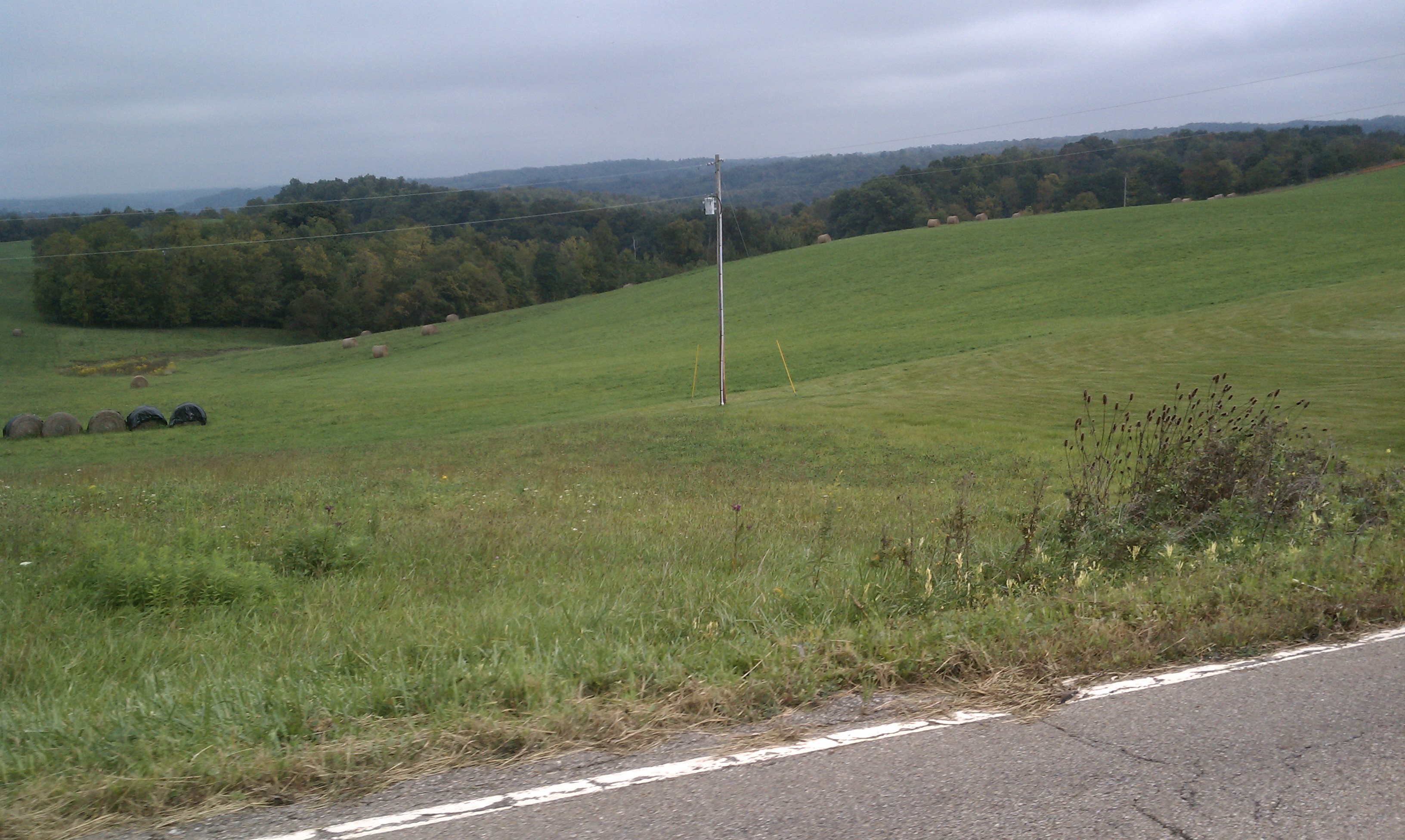
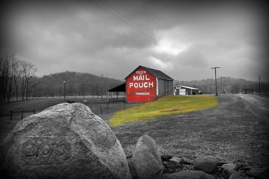
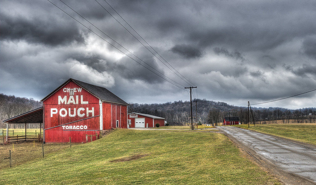
Gorgeous farm country

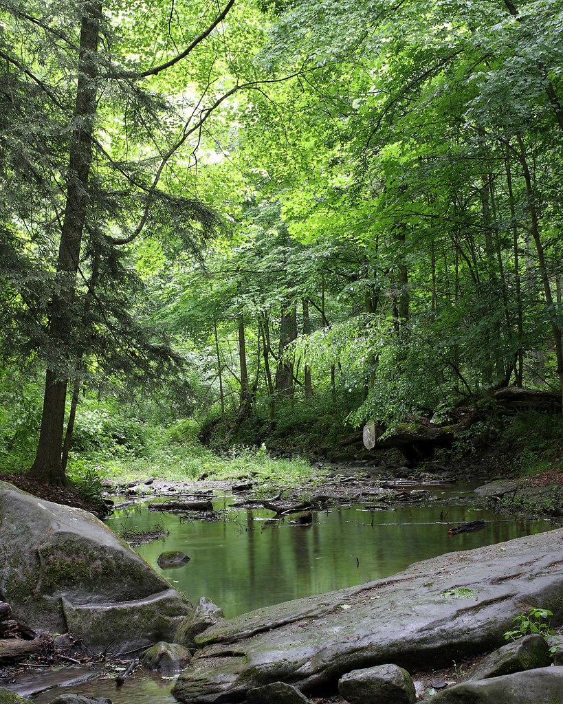
Getting Back To Nature
Ohio Fall Day
After the rain...

First Shot of the Day....
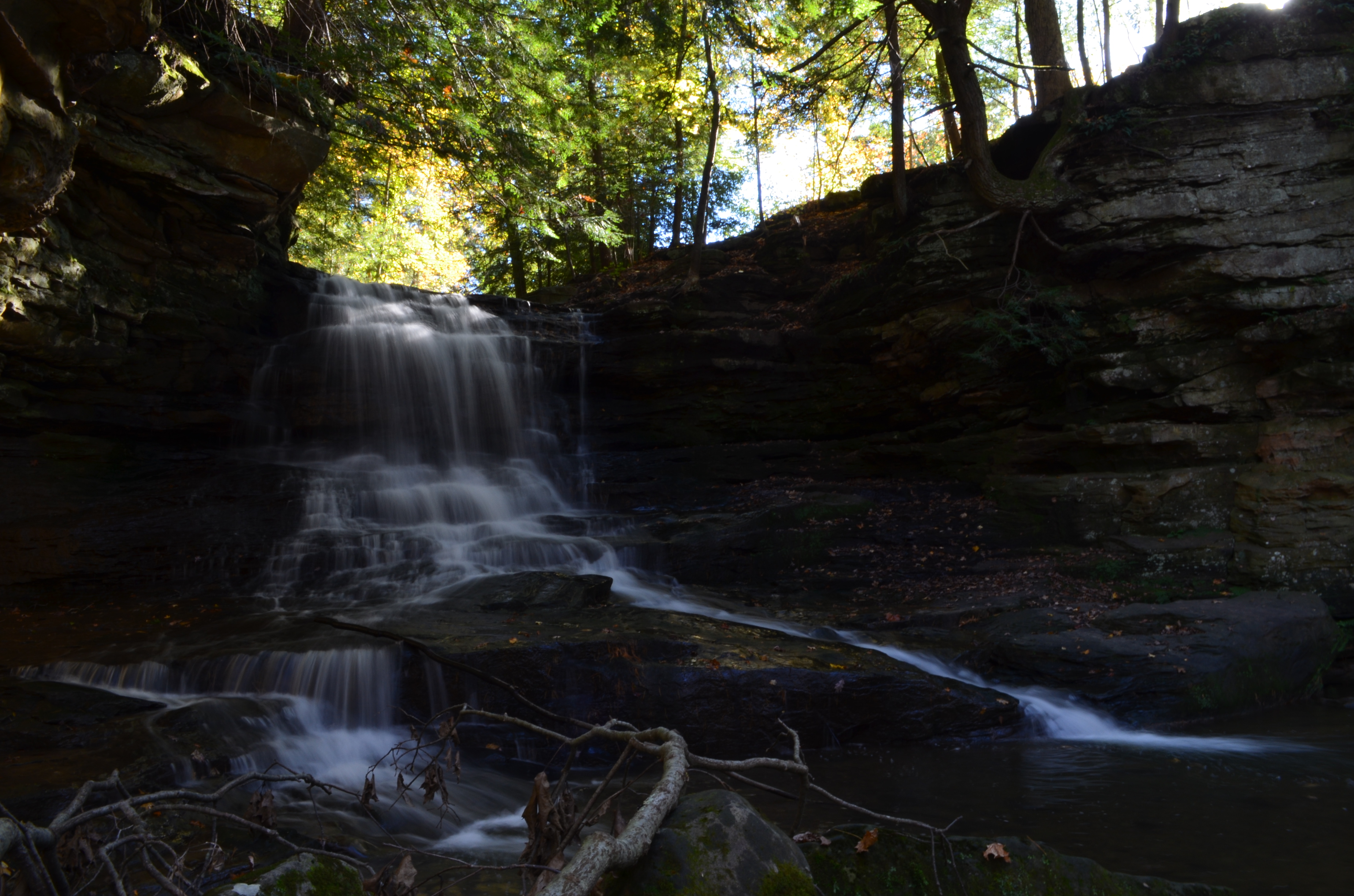
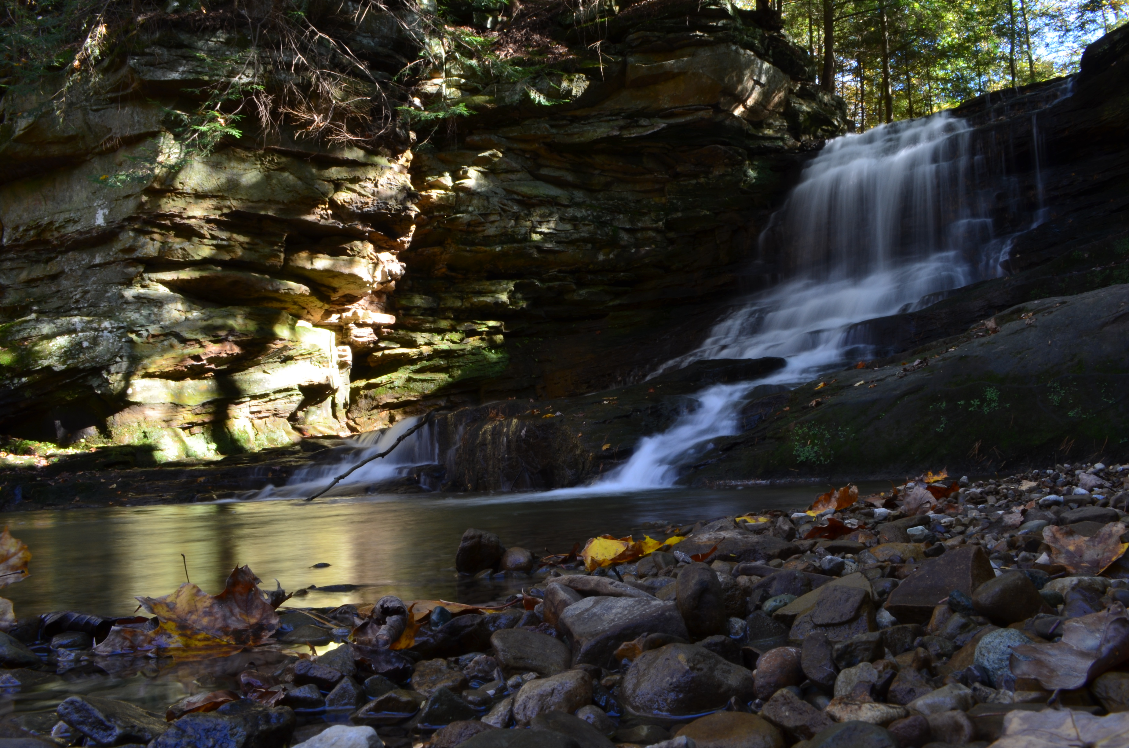
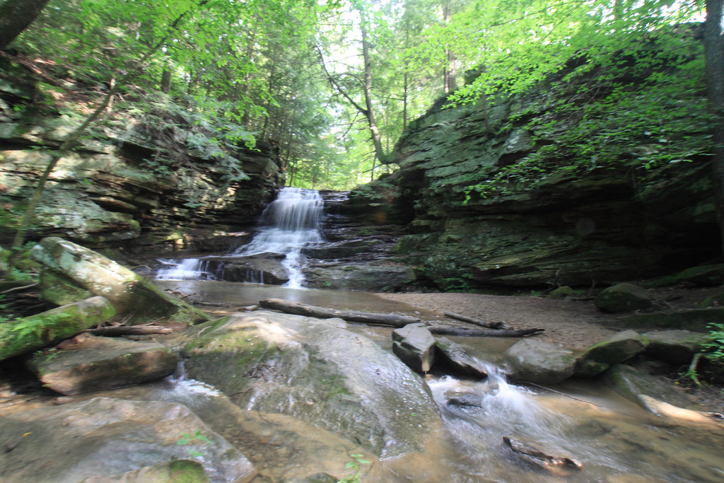
Solitude By the Waterfall

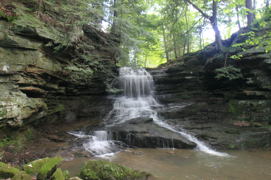
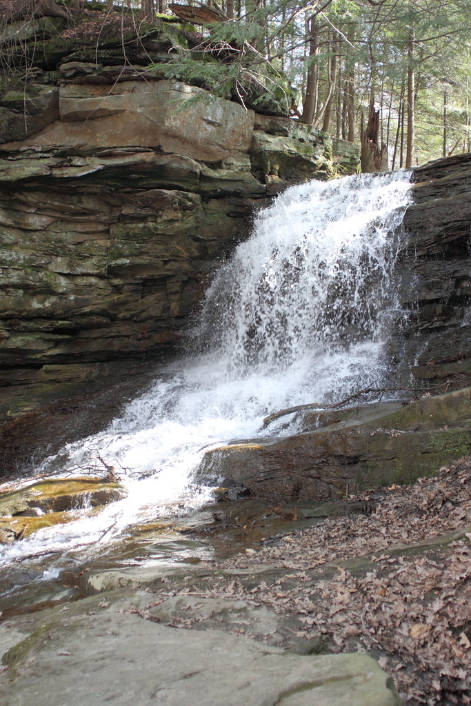
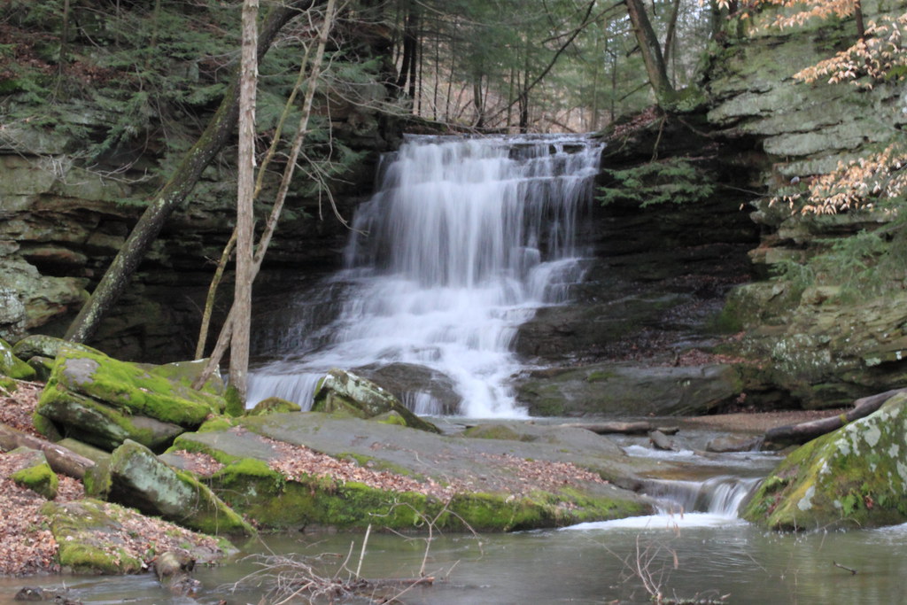
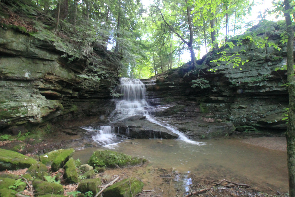
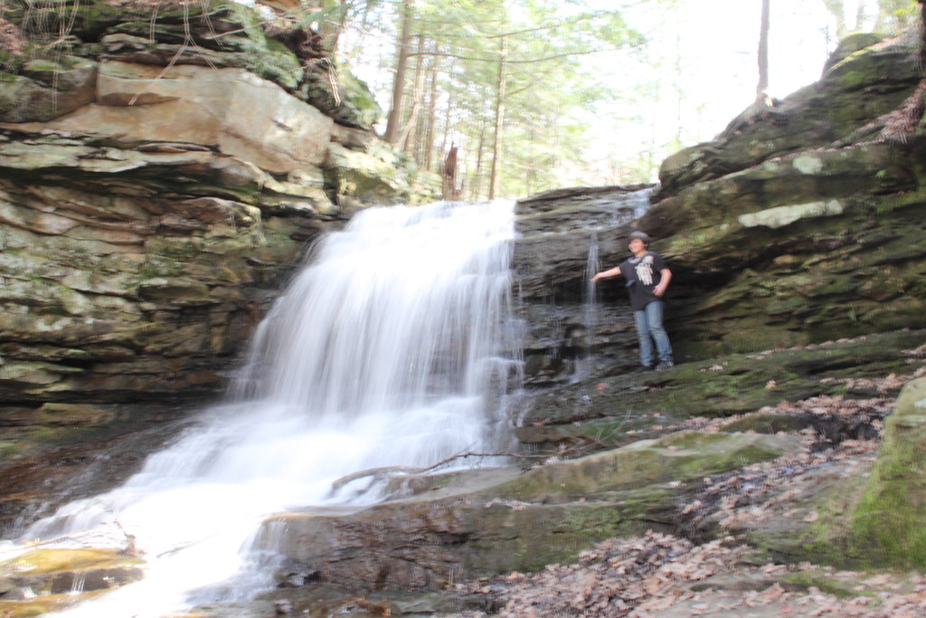
Honey Run Waterfall
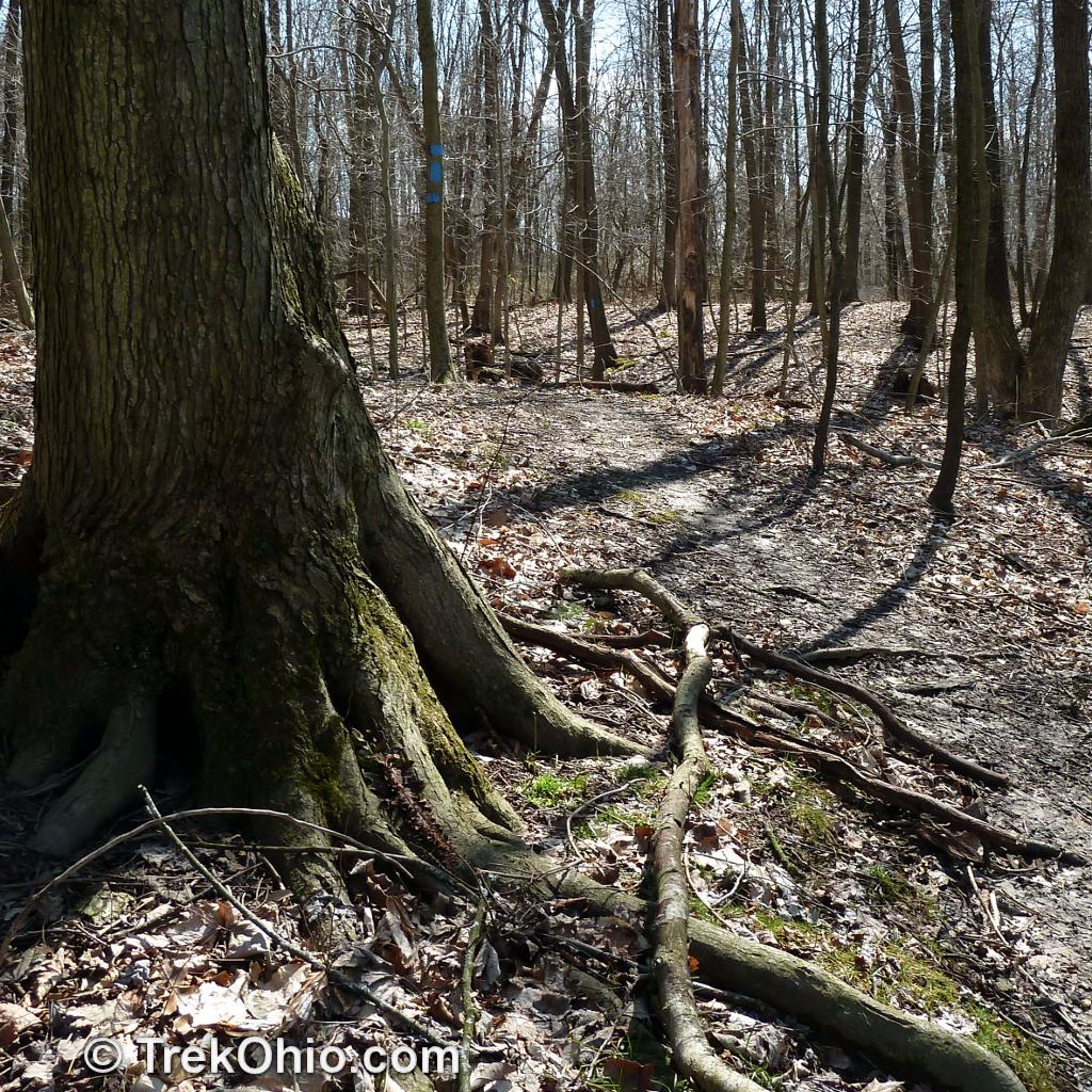
Path around roots
Honey Run_6381.JPG

Honey Run Falls 2010 0529 (3)
Honey Run_1619
Honey Run_1900
Honey Run_6382.JPG
Honey Run_1629
Honey Run
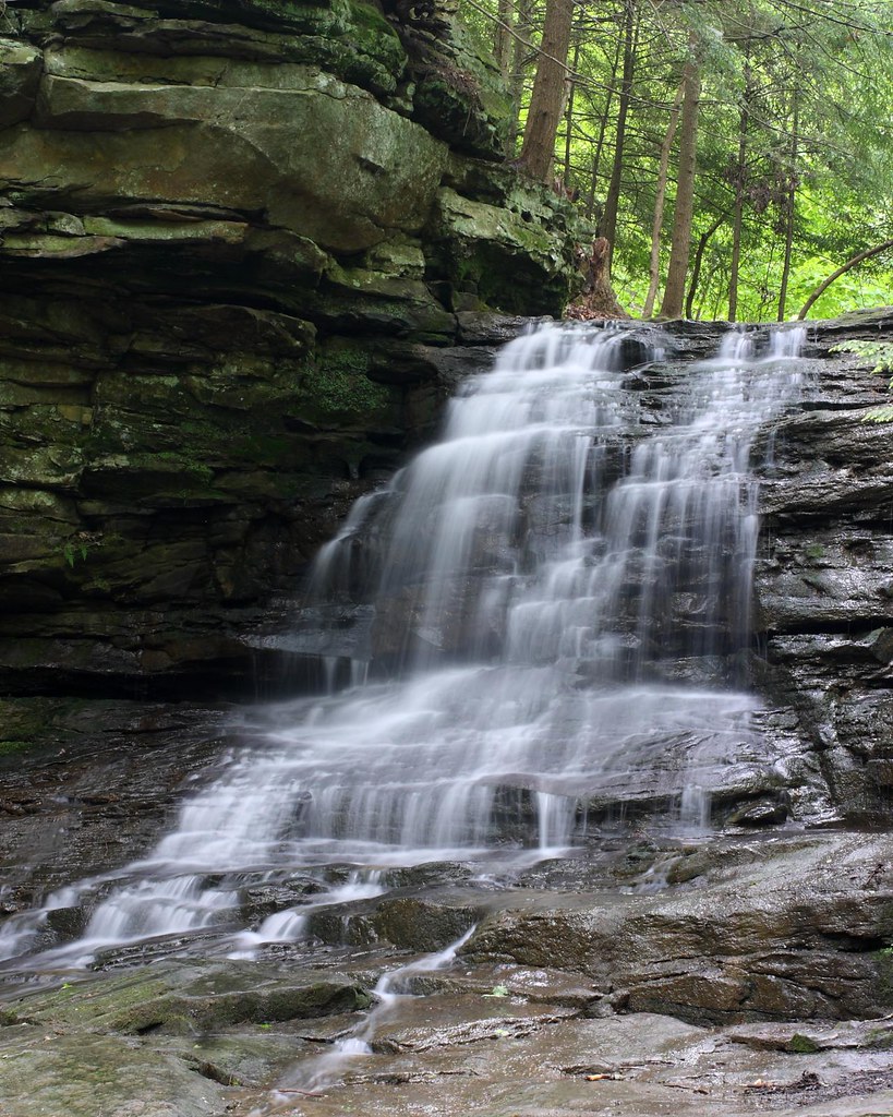
Honey Run Falls
Honey Run_6398.JPG

Waterfall near Danville, OH
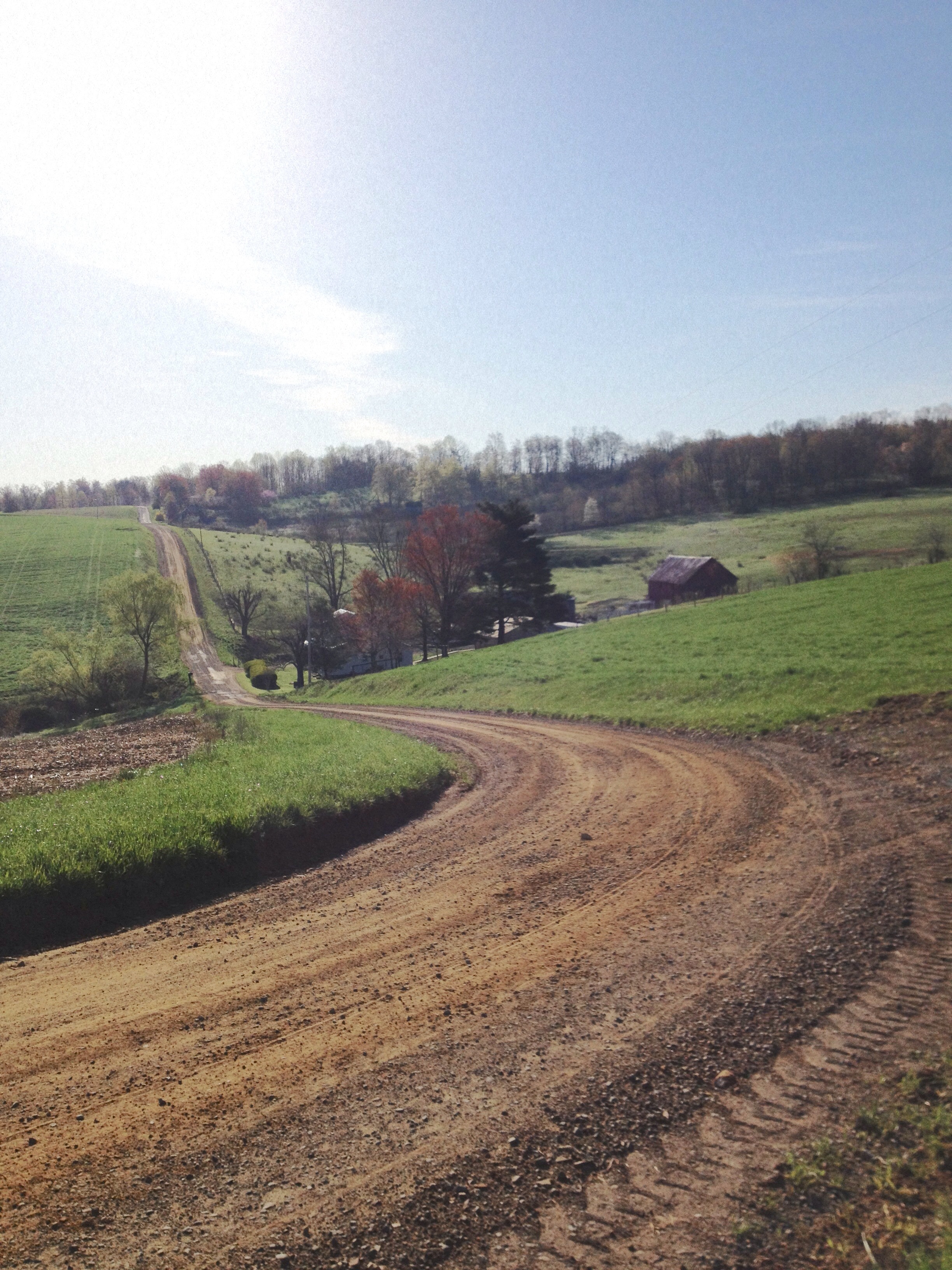
Gravel travel.
Topographic Map of OH-, Walhonding, OH, USA
Find elevation by address:

Places near OH-, Walhonding, OH, USA:
Newcastle Township
Kokosing River
22488 Co Rd 18
Perry Township
Township Rd 53, Warsaw, OH, USA
Jefferson Township
14381 Mowery Rd
Co Rd 80, Frazeysburg, OH, USA
Union Township
1385 Oh-206
New Guilford Rd, Utica, OH, USA
Coshocton Ave, Howard, OH, USA
26132 Coshocton Ave
Spring Mountain Cemetery
Brinkhaven
OH-, Warsaw, OH, USA
Pike Township
US-62, Killbuck, OH, USA
Danville
Township Rd, Dresden, OH, USA
Recent Searches:
- Elevation of Lampiasi St, Sarasota, FL, USA
- Elevation of Elwyn Dr, Roanoke Rapids, NC, USA
- Elevation of Congressional Dr, Stevensville, MD, USA
- Elevation of Bellview Rd, McLean, VA, USA
- Elevation of Stage Island Rd, Chatham, MA, USA
- Elevation of Shibuya Scramble Crossing, 21 Udagawacho, Shibuya City, Tokyo -, Japan
- Elevation of Jadagoniai, Kaunas District Municipality, Lithuania
- Elevation of Pagonija rock, Kranto 7-oji g. 8"N, Kaunas, Lithuania
- Elevation of Co Rd 87, Jamestown, CO, USA
- Elevation of Tenjo, Cundinamarca, Colombia