Elevation of OH-, Brinkhaven, OH, USA
Location: United States > Ohio > Holmes County > Richland Township >
Longitude: -82.132479
Latitude: 40.4570259
Elevation: 381m / 1250feet
Barometric Pressure: 97KPa
Elevation Map:
Satellite Map:
Related Photos:
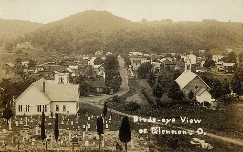
Glenmont, Holmes County Ohio, Birds Eye View
Promise of Spring...
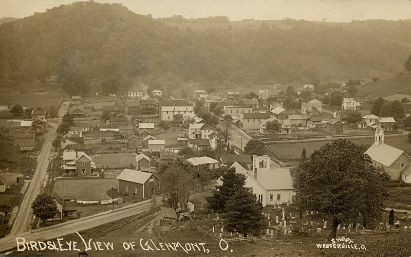
Glenmont, Holmes County Ohio, Birds Eye View
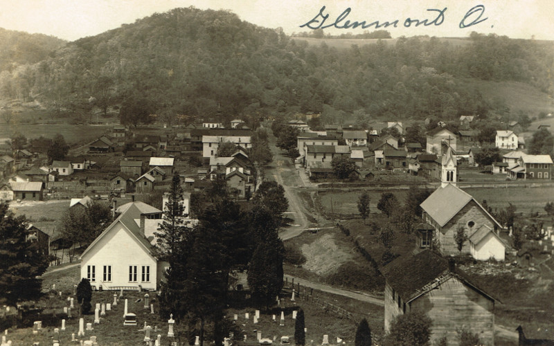
Glenmont, Holmes County Ohio, Birds Eye View
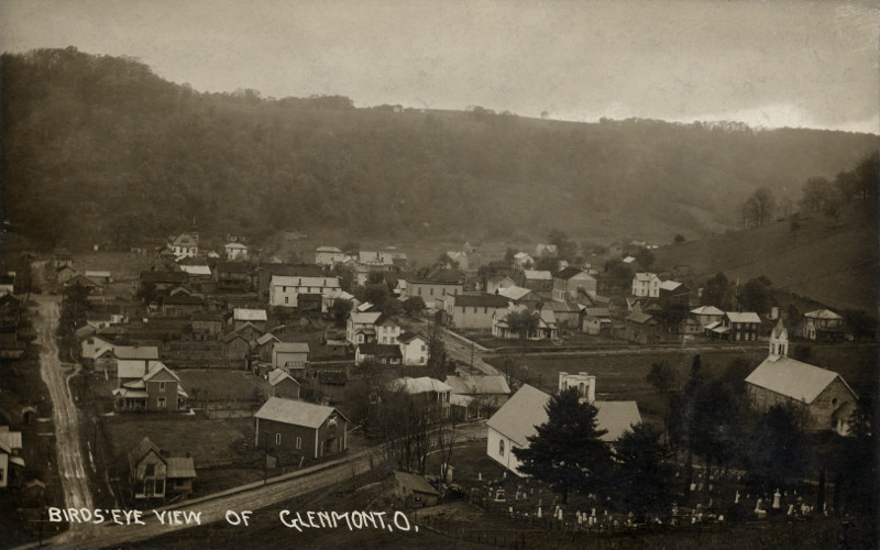
Glenmont, Holmes County Ohio, Birds Eye View
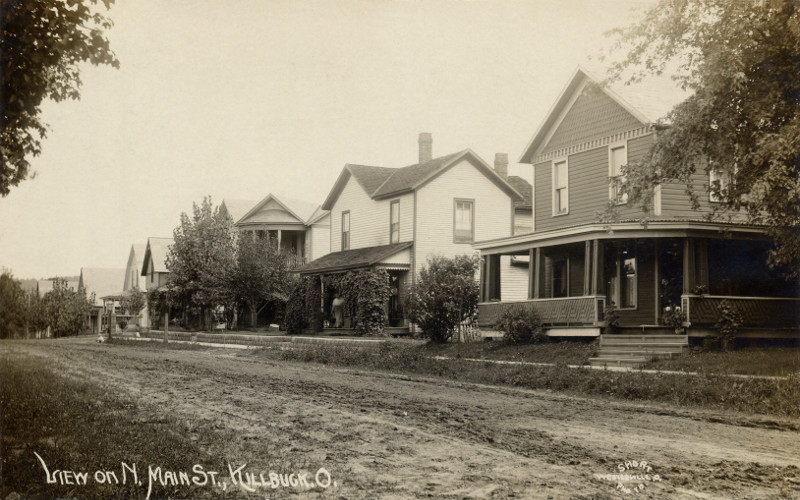
Killbuck, Holmes County Ohio, View on N Main St
Glenmont, Holmes County Ohio, East Main Street
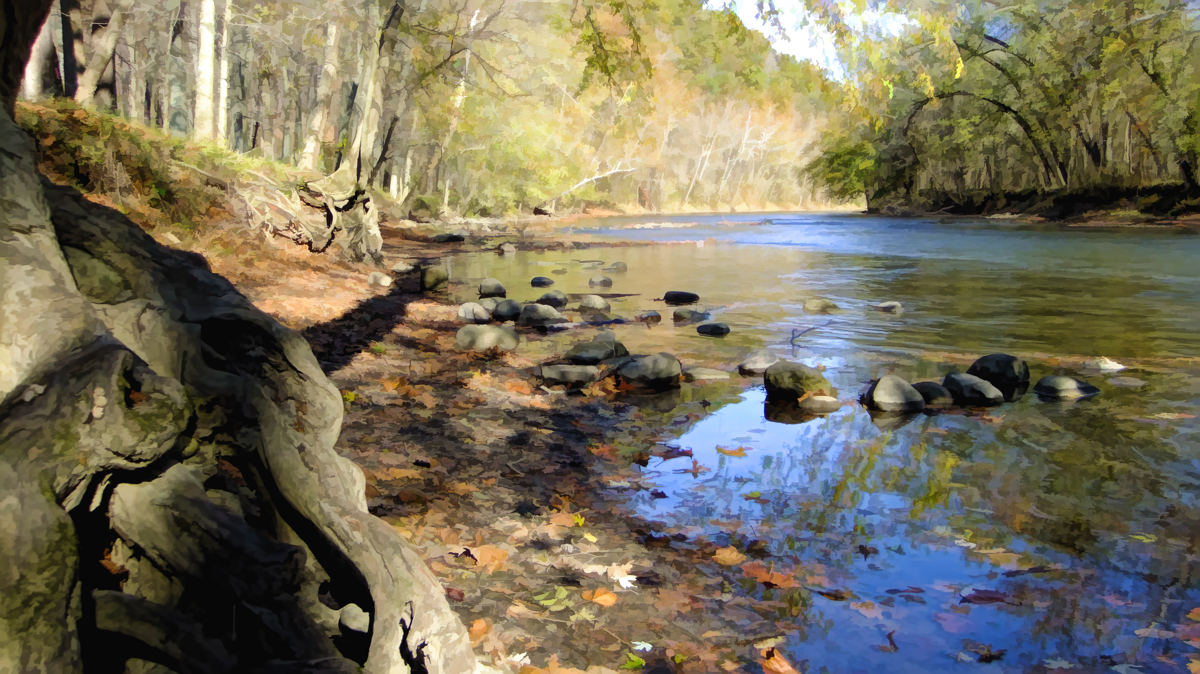
River view

Glenmont, Holmes County Ohio, Birds Eye View

Glenmont, Holmes County Ohio, Birds Eye View

Glenmont, Holmes County Ohio, Birds Eye View

Killbuck, Holmes County Ohio, View on N Main St
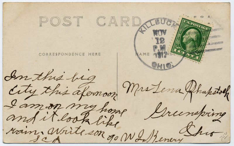
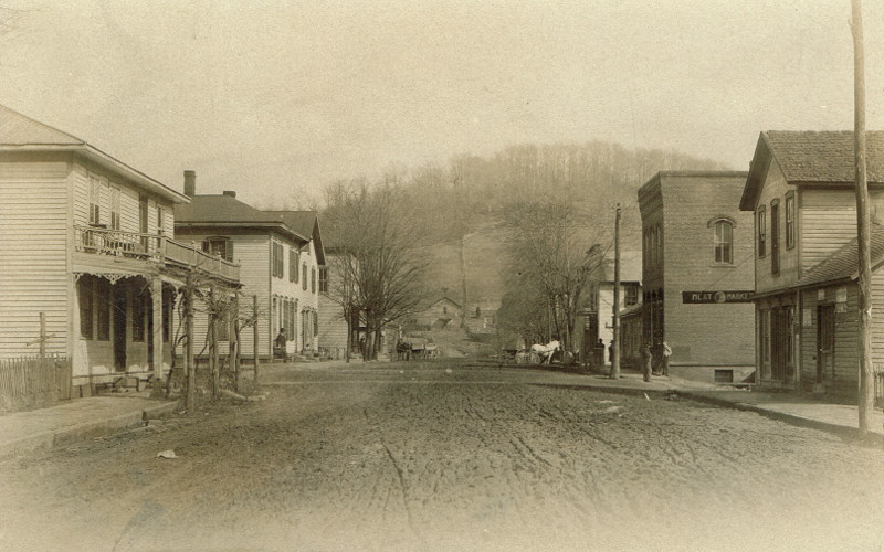
Killbuck, Holmes County Ohio, View on S Main St
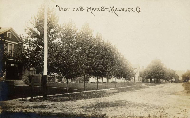
Killbuck, Holmes County Ohio, View on S Main St
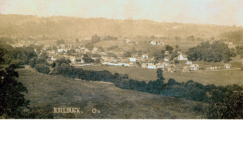
Killbuck, Holmes County Ohio, Birds Eye View
Branch office...
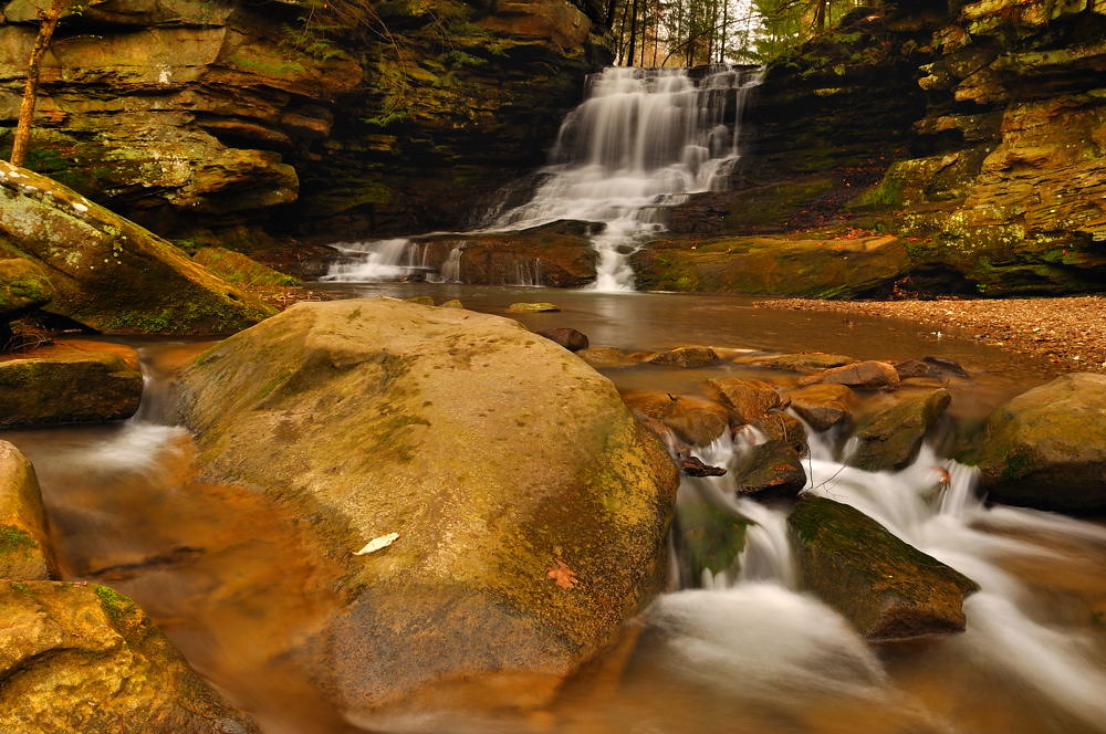
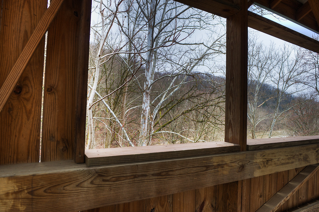
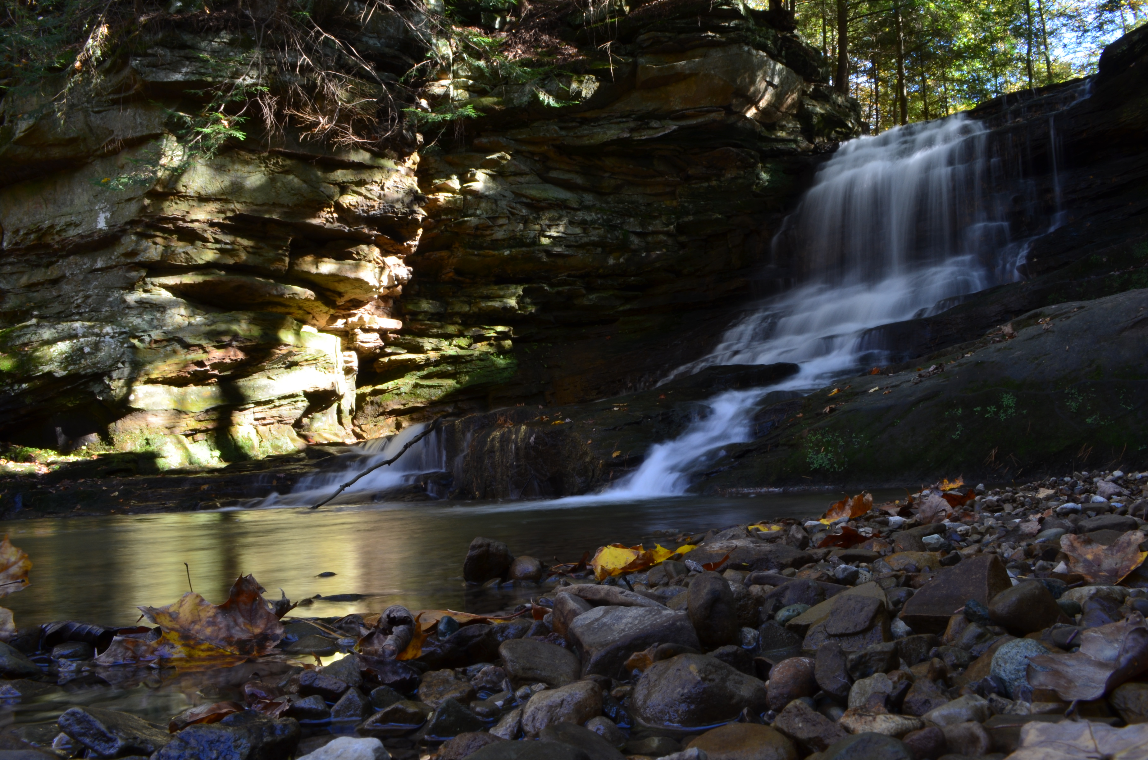
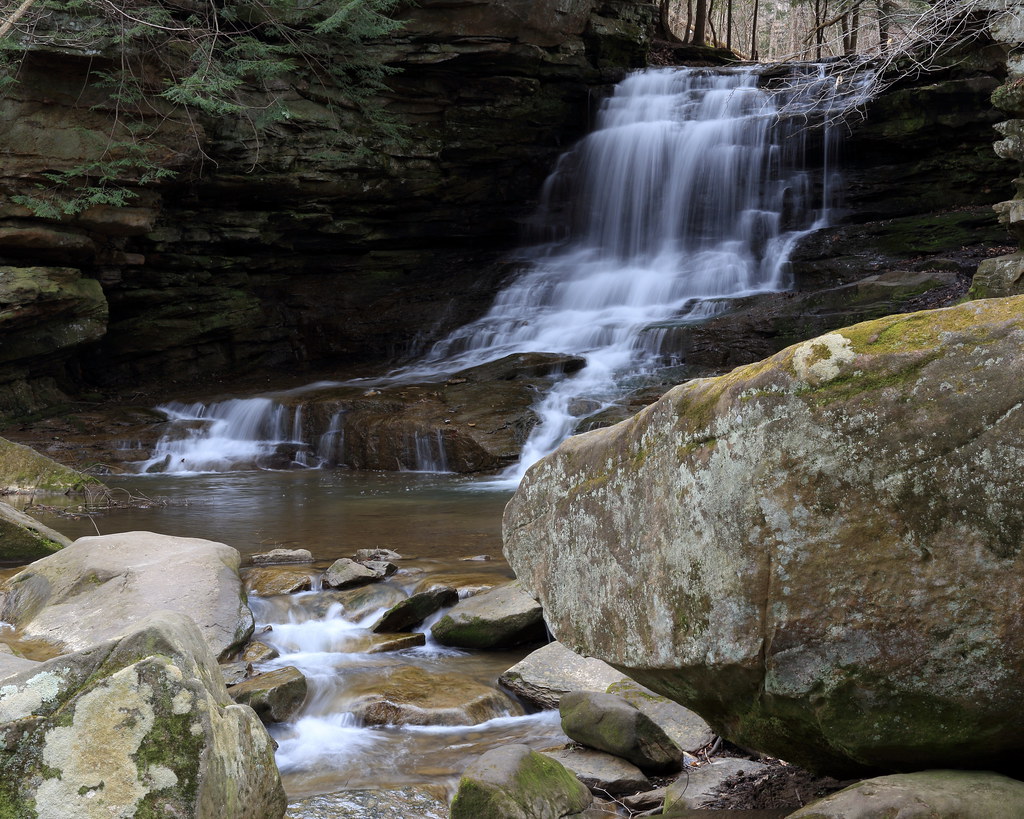
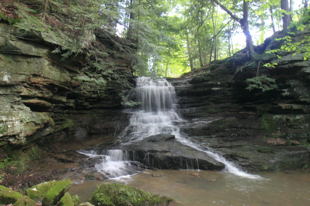
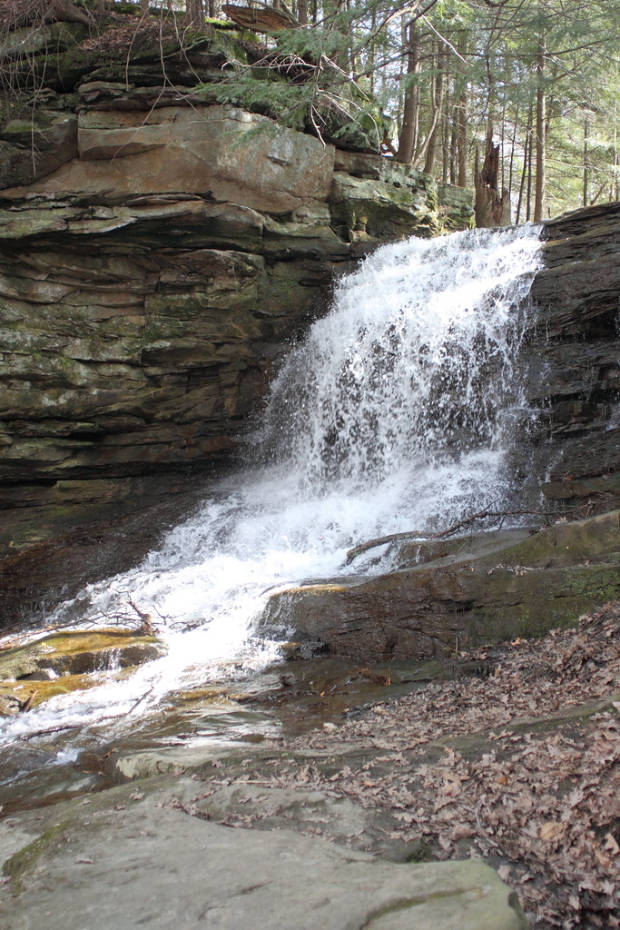
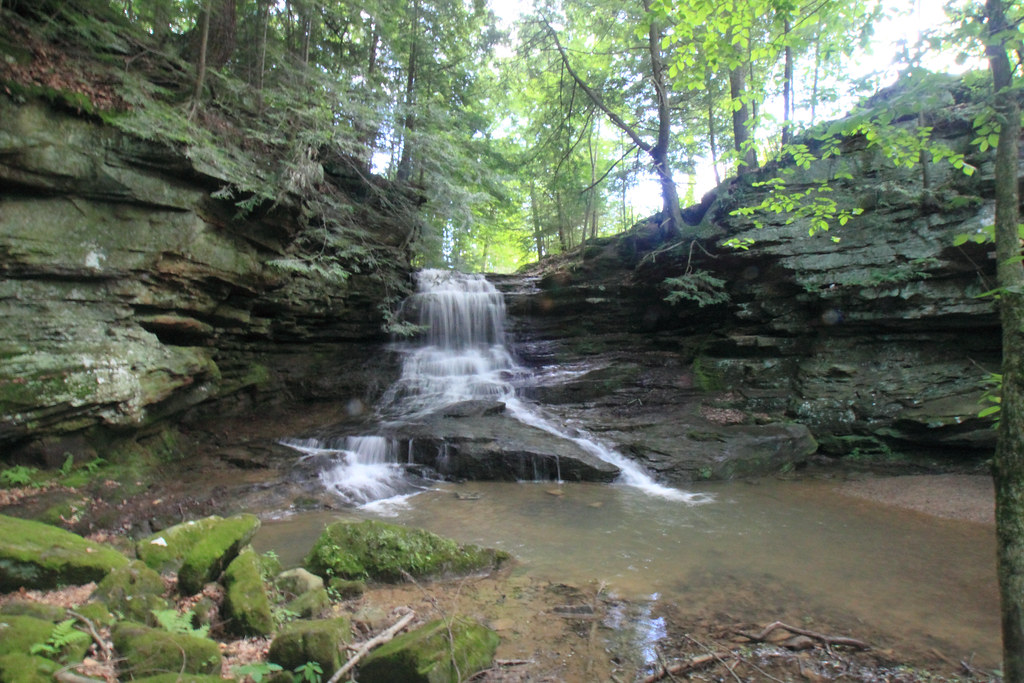
Honey Run Falls - Knox County, Ohio.

First Shot of the Day....
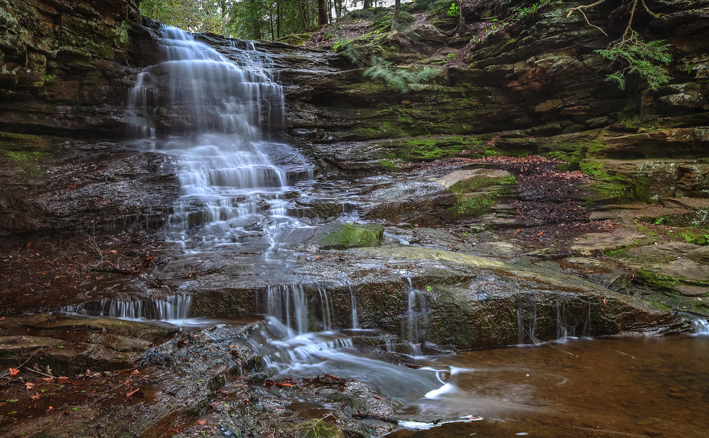
Honey Run Falls

Stone Berm
Ohio Fall Day
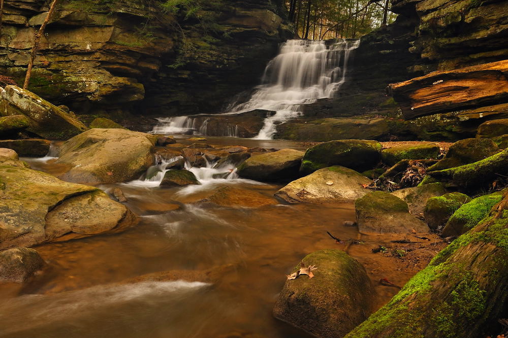
Honey Run Falls - Knox County, Ohio.
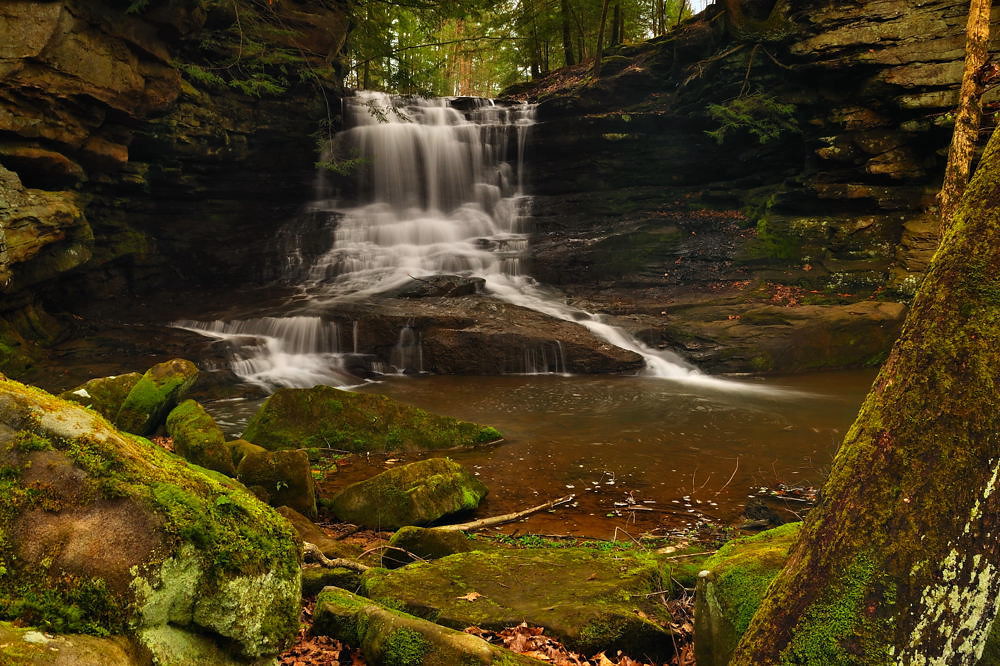
Honey Run Falls - Knox County, Ohio

After the rain...

Honey Run Waterfall, Ohio
Solitude By the Waterfall
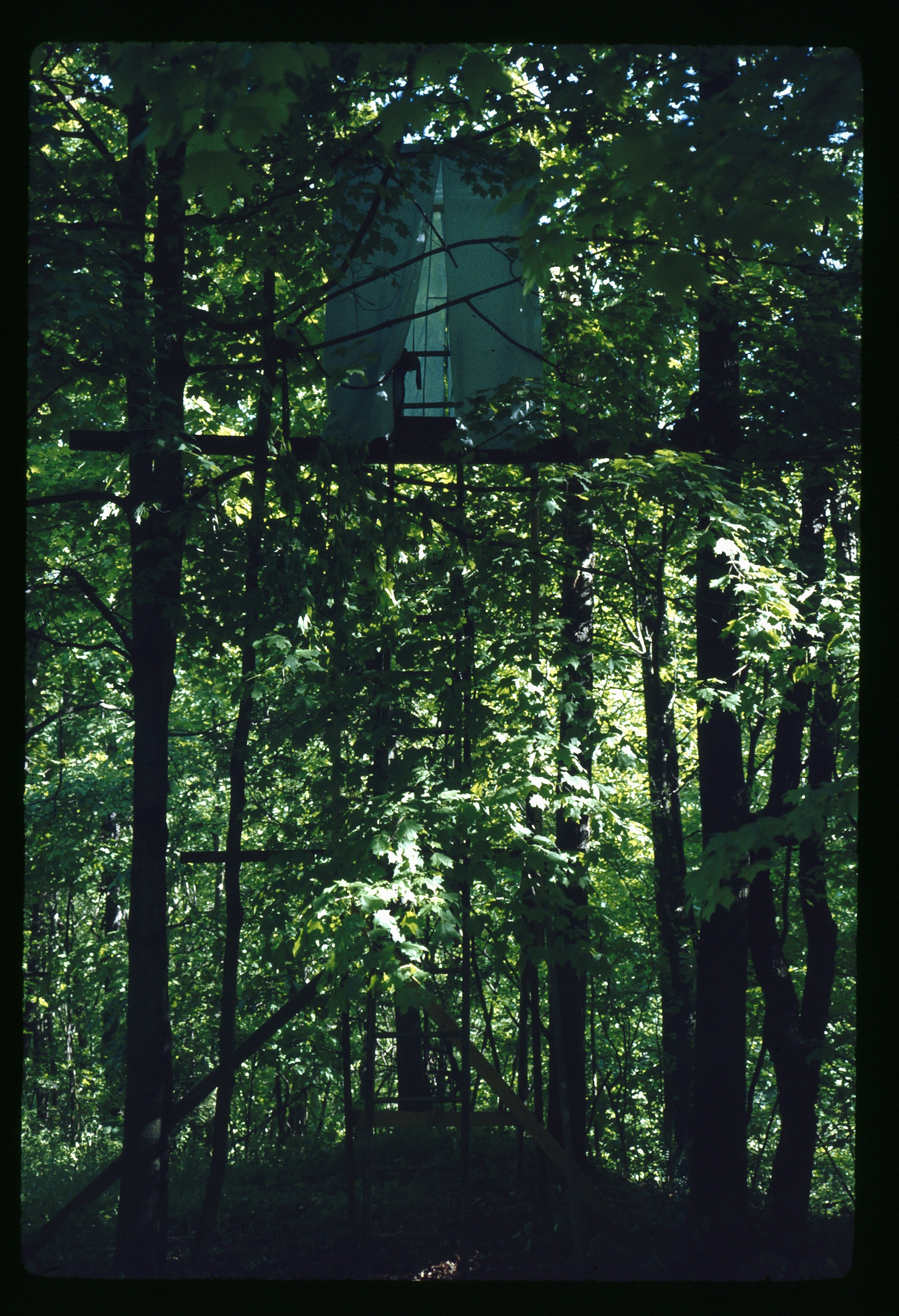
May 1 1974 Blind set up for following flicker shots

Ohio, Holmes County Fall 2012

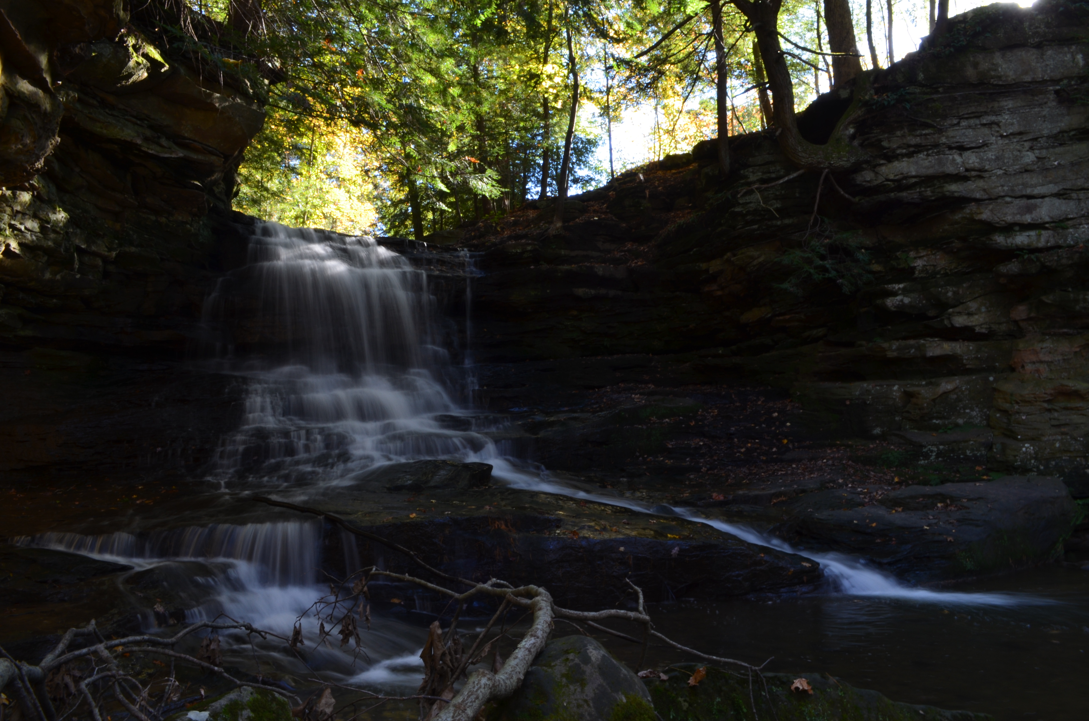
Honey Run Waterfall
Honey Run Falls
Honey Run_6381.JPG
Honey Run_1619

Country Sunset

Deep Dark Woods

Fern Chair
Honey Run_6382.JPG

Catch me if you can.
Topographic Map of OH-, Brinkhaven, OH, USA
Find elevation by address:

Places near OH-, Brinkhaven, OH, USA:
US-62, Killbuck, OH, USA
Richland Township
Brinkhaven
Glenmont
14381 Mowery Rd
Spring Mountain Cemetery
Kokosing River
Union Township
Newcastle Township
Monroe Township
OH-, Walhonding, OH, USA
Danville
Jefferson Township
Township Rd 53, Warsaw, OH, USA
Millersburg St, Nashville, OH, USA
W Front St, Killbuck, OH, USA
Coshocton Ave, Howard, OH, USA
26132 Coshocton Ave
Township Rd, Killbuck, OH, USA
Knox County
Recent Searches:
- Elevation of Honghe National Nature Reserve, QP95+PJP, Tongjiang, Heilongjiang, Jiamusi, Heilongjiang, China
- Elevation of Hercules Dr, Colorado Springs, CO, USA
- Elevation of Szlak pieszy czarny, Poland
- Elevation of Griffing Blvd, Biscayne Park, FL, USA
- Elevation of Kreuzburger Weg 13, Düsseldorf, Germany
- Elevation of Gateway Blvd SE, Canton, OH, USA
- Elevation of East W.T. Harris Boulevard, E W.T. Harris Blvd, Charlotte, NC, USA
- Elevation of West Sugar Creek, Charlotte, NC, USA
- Elevation of Wayland, NY, USA
- Elevation of Steadfast Ct, Daphne, AL, USA