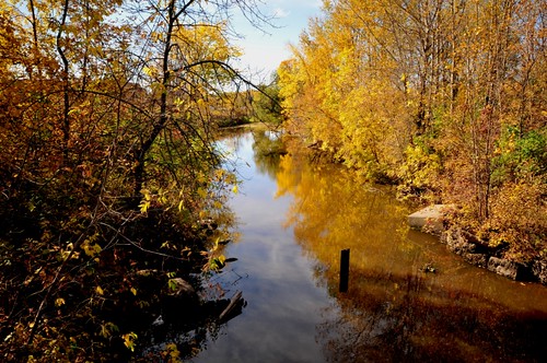
Elevation of US-53, Angora, MN, USA
Location: United States > Minnesota > St. Louis County > Angora Township >
Longitude: -92.649078
Latitude: 47.721129
Elevation: -10000m / -32808feet
Barometric Pressure: 295KPa
Related Photos:
Topographic Map of US-53, Angora, MN, USA
Find elevation by address:

Places near US-53, Angora, MN, USA:
US-53, Angora, MN, USA
Angora Township
8627 Ralph Rd
E Leander Rd, Cook, MN, USA
Britt, MN, USA
Alango Township
Sandy Township
Co Hwy 68, Britt, MN, USA
Holly Dr, Virginia, MN, USA
Britt
8074 Wuori Rd
Mountain Iron
Wuori Township
Great Scott Township
Parkville St, Mountain Iron, MN, USA
Mud Lake Rd, Mountain Iron, MN, USA
Main St, Kinney, MN, USA
Virginia
250 Chestnut St
250 Chestnut St
Recent Searches:
- Elevation of Lytham Ln, Katy, TX, USA
- Elevation of Tater Hill, Oklahoma, USA
- Elevation of NY-, Friendship, NY, USA
- Elevation of 64 Danakas Dr, Winnipeg, MB R2C 5N7, Canada
- Elevation of 4 Vale Rd, Sheffield S3 9QX, UK
- Elevation of Keene Point Drive, Keene Point Dr, Grant, AL, USA
- Elevation of State St, Zanesville, OH, USA
- Elevation of Austin Stone Dr, Haslet, TX, USA
- Elevation of Bydgoszcz, Poland
- Elevation of Bydgoszcz, Poland


