Elevation of Sandy Township, MN, USA
Location: United States > Minnesota > St. Louis County >
Longitude: -92.508825
Latitude: 47.6772523
Elevation: 444m / 1457feet
Barometric Pressure: 96KPa
Elevation Map:
Satellite Map:
Related Photos:
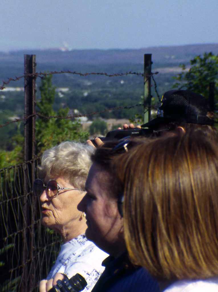
Mineview in the Sky
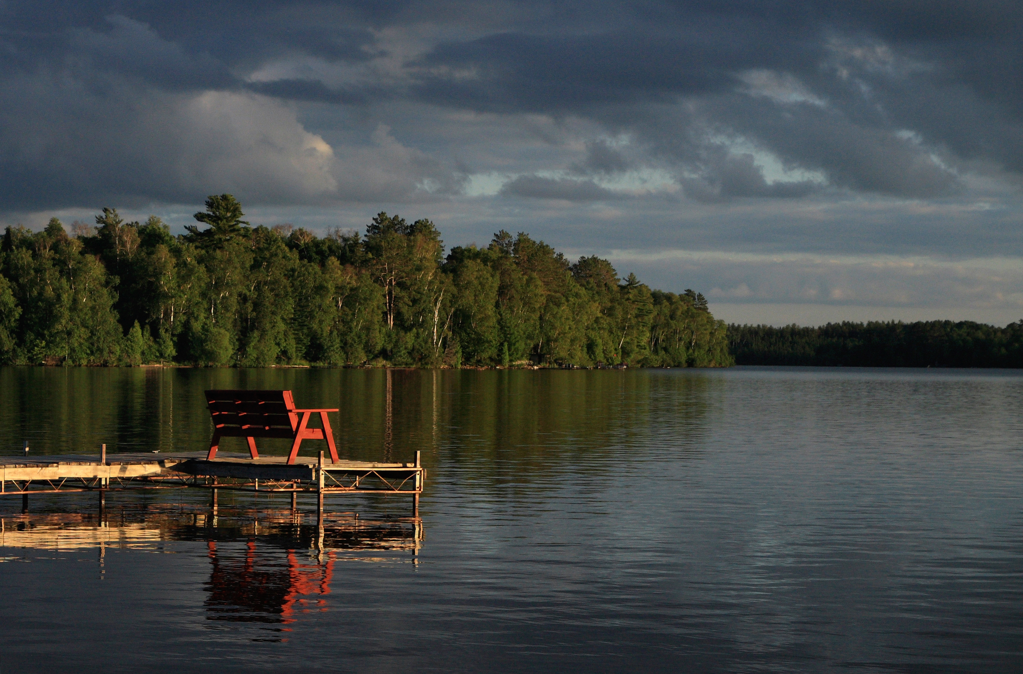
Sand Lake Bench
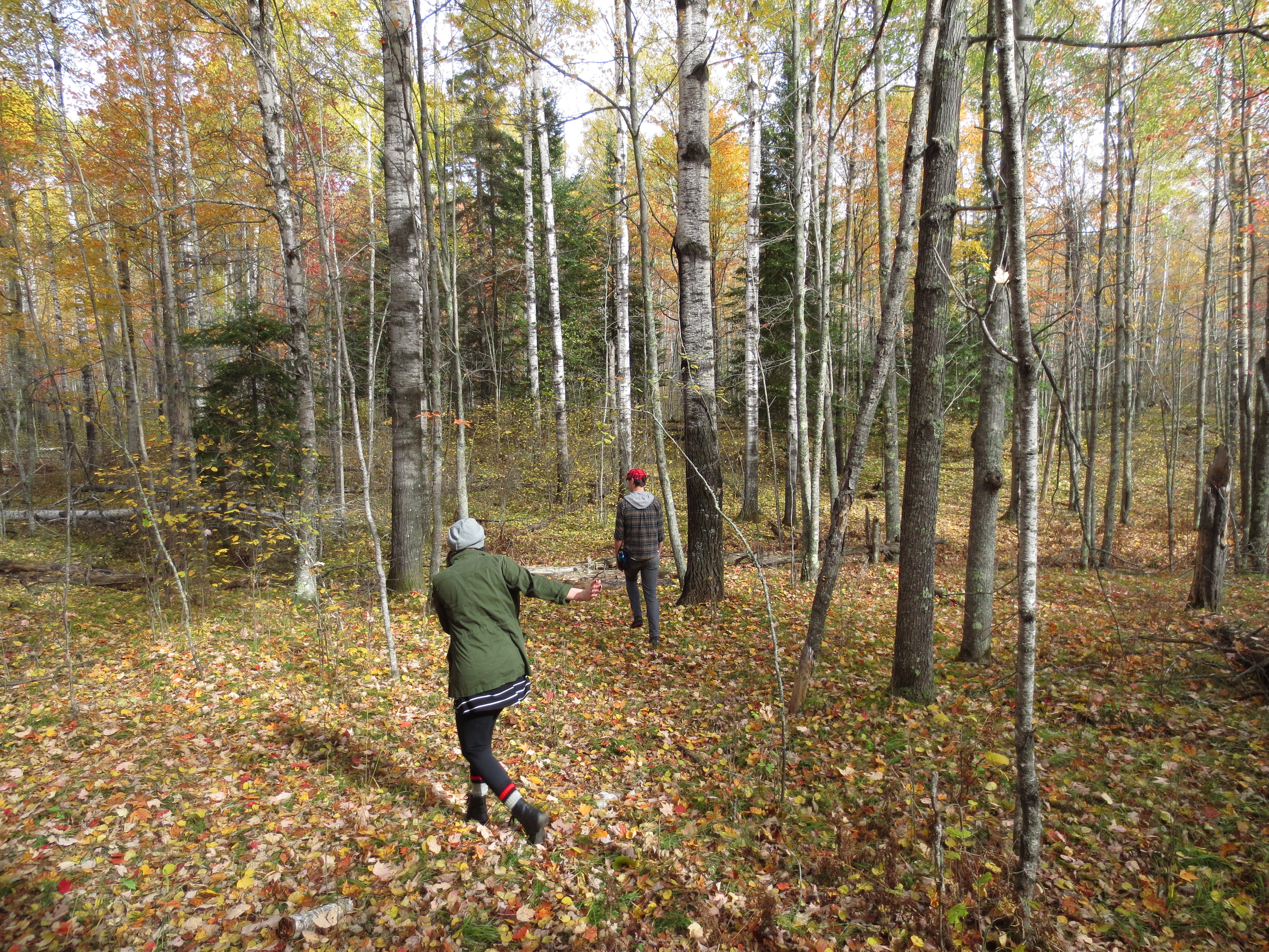
Cabin forest near Lake 14, MN
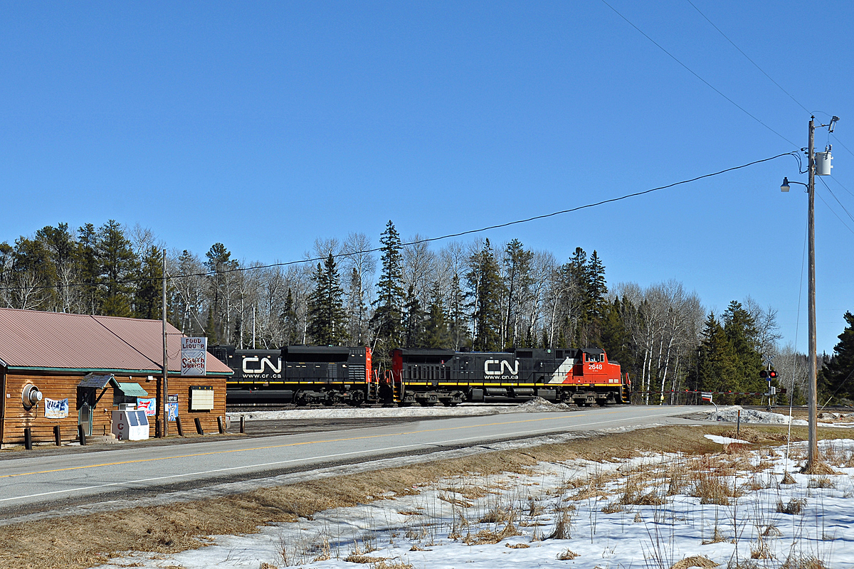
03-12-2016 South Switch
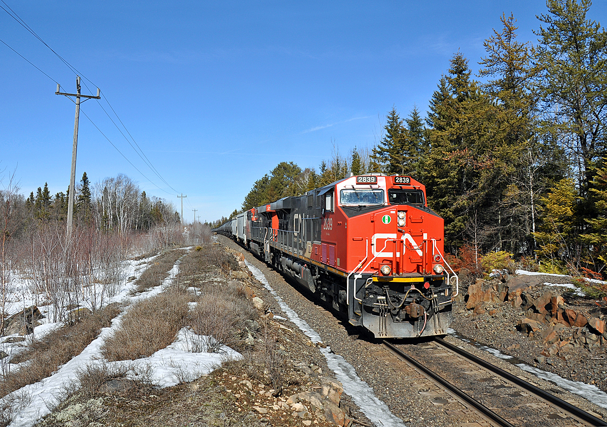
03-11-2016 Up and Over

Cabin forest near Lake 14, MN
Cabin forest near Lake 14, MN

Cabin forest near Lake 14, MN

Cabin forest near Lake 14, MN

Jeep on Trail

Entry point #16

just another old truck #yesitookthiswithmyiphone #truehdr #thephotocollective

ice, ice, baybee #yesitookthiswithmyiphone #truehdr #thephotocollective
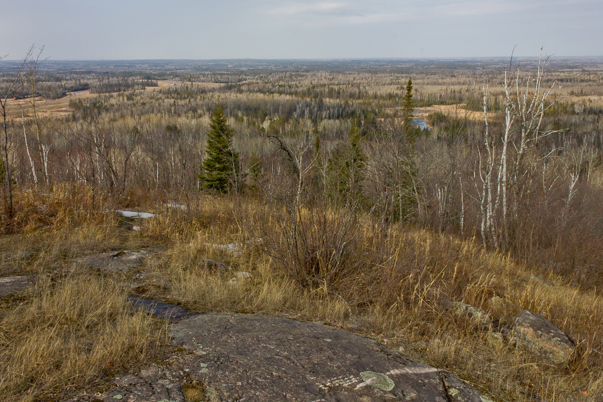
Laurentian Divide

Mourning Cloak

Superior National Forest

.. weight of winter.

.. winter survival

The Morning drive #morning #iphone #minnesota #tamiro #drive

M n J
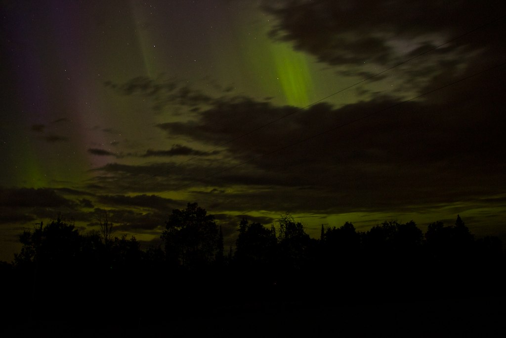
Northern lights2
Topographic Map of Sandy Township, MN, USA
Find elevation by address:

Places in Sandy Township, MN, USA:
Places near Sandy Township, MN, USA:
Britt
Co Hwy 68, Britt, MN, USA
8074 Wuori Rd
Wuori Township
Holly Dr, Virginia, MN, USA
8350 Us-53
US-53, Angora, MN, USA
250 Chestnut St
250 Chestnut St
Virginia
Angora Township
St. Louis County
Parkville St, Mountain Iron, MN, USA
MN-, Tower, MN, USA
Mud Lake Rd, Mountain Iron, MN, USA
Mountain Iron
E Leander Rd, Cook, MN, USA
Grand Ave, McKinley, MN, USA
Gilbert
Broadway, Gilbert, MN, USA
Recent Searches:
- Elevation of Tenjo, Cundinamarca, Colombia
- Elevation of Côte-des-Neiges, Montreal, QC H4A 3J6, Canada
- Elevation of Bobcat Dr, Helena, MT, USA
- Elevation of Zu den Ihlowbergen, Althüttendorf, Germany
- Elevation of Badaber, Peshawar, Khyber Pakhtunkhwa, Pakistan
- Elevation of SE Heron Loop, Lincoln City, OR, USA
- Elevation of Slanický ostrov, 01 Námestovo, Slovakia
- Elevation of Spaceport America, Co Rd A, Truth or Consequences, NM, USA
- Elevation of Warwick, RI, USA
- Elevation of Fern Rd, Whitmore, CA, USA