Elevation of Mud Lake Rd, Mountain Iron, MN, USA
Location: United States > Minnesota > St. Louis County > Mountain Iron >
Longitude: -92.58071
Latitude: 47.50982
Elevation: 437m / 1434feet
Barometric Pressure: 96KPa
Elevation Map:
Satellite Map:
Related Photos:
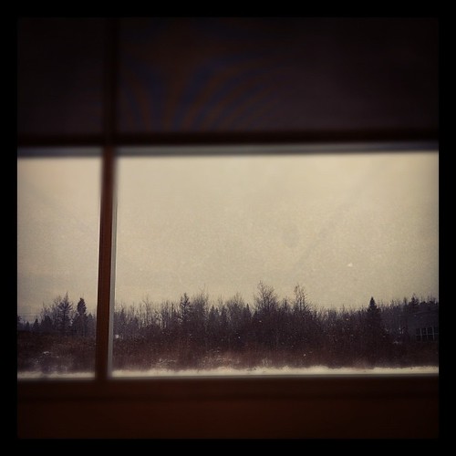
The view from the Desk #snow #winter #minnesota #tamiro #iphone
A Nice View
The only thing constant is change....
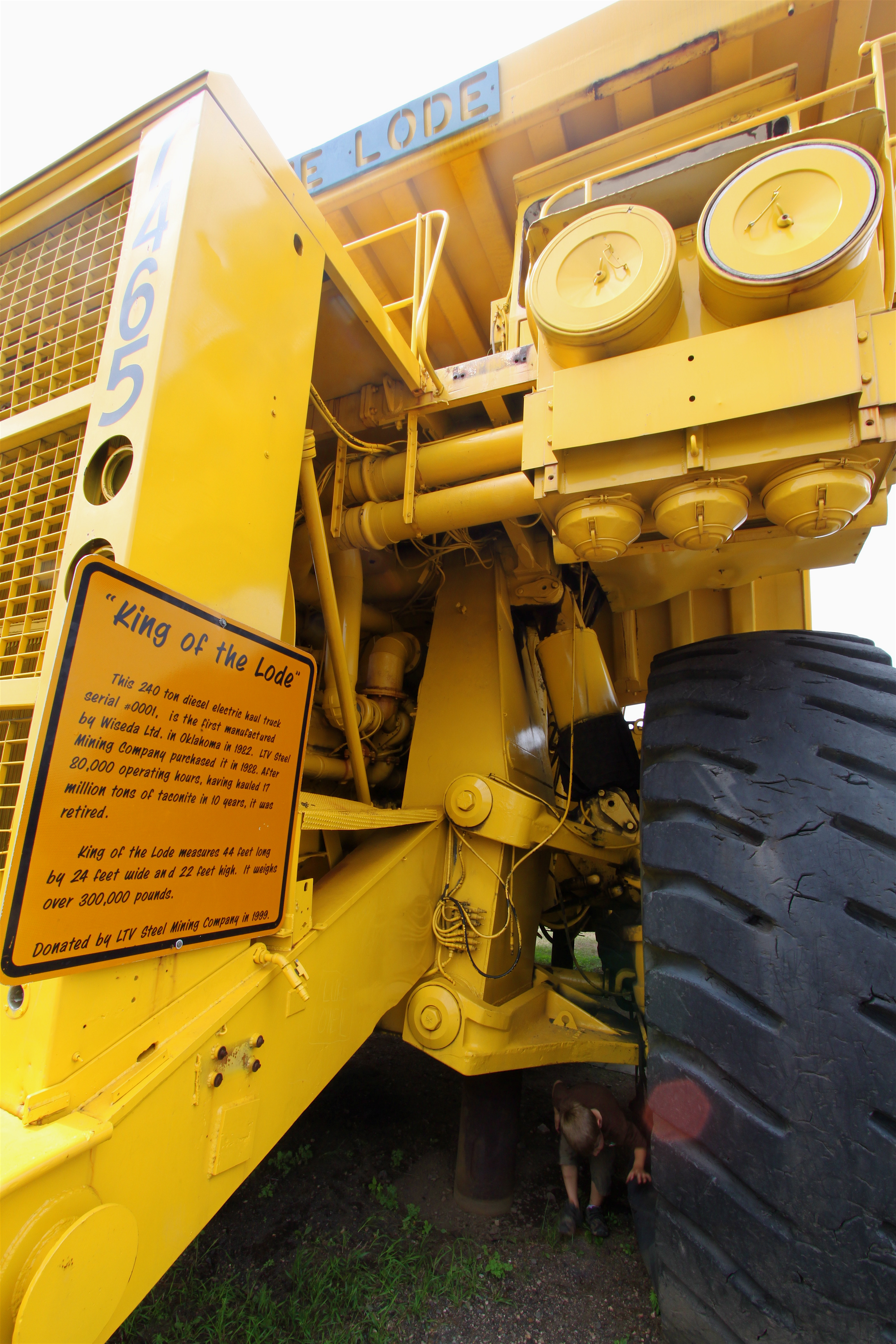
'King of the Lode' front view. Note small boy under the front axle.
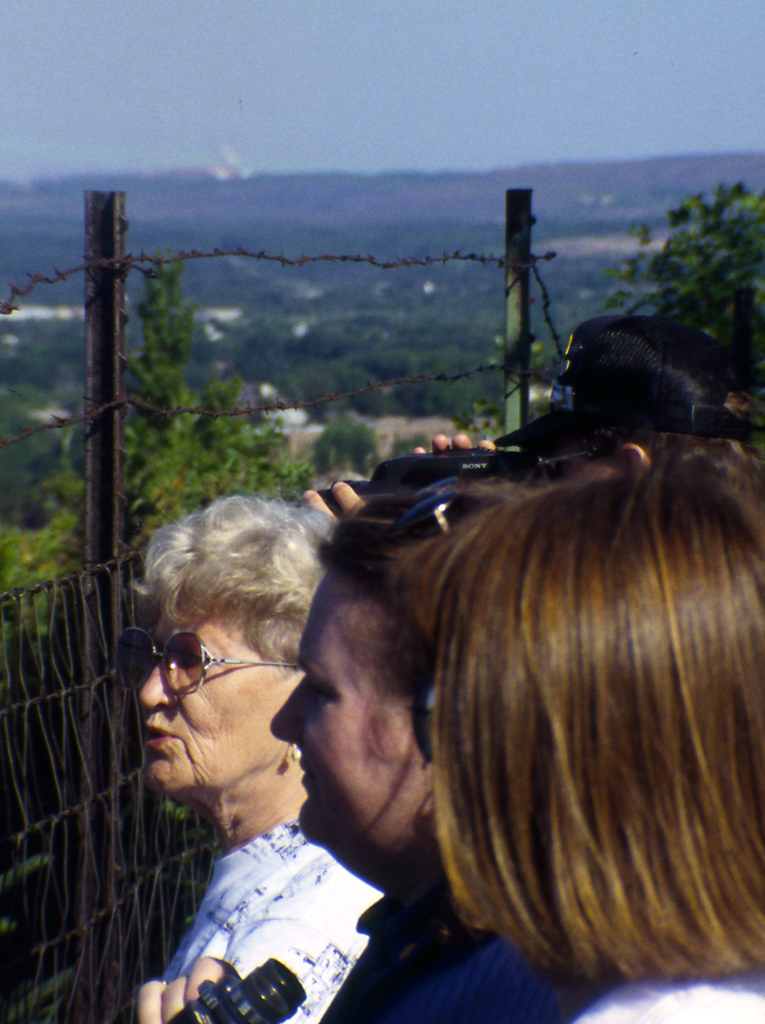
Mineview in the Sky
IMG_1459.JPG
IMG_1458.JPG
IMG_1456.JPG
IMG_1460.JPG
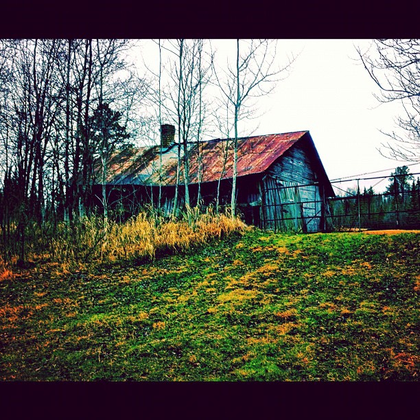
The current situation

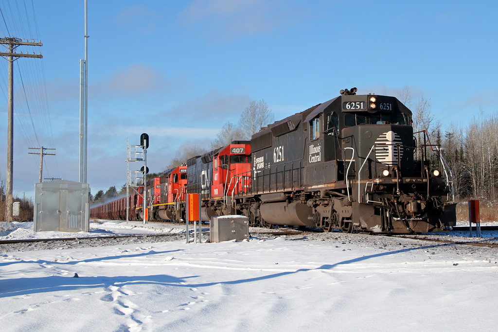
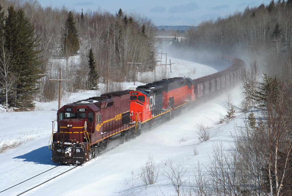
222 Nortbound at 60
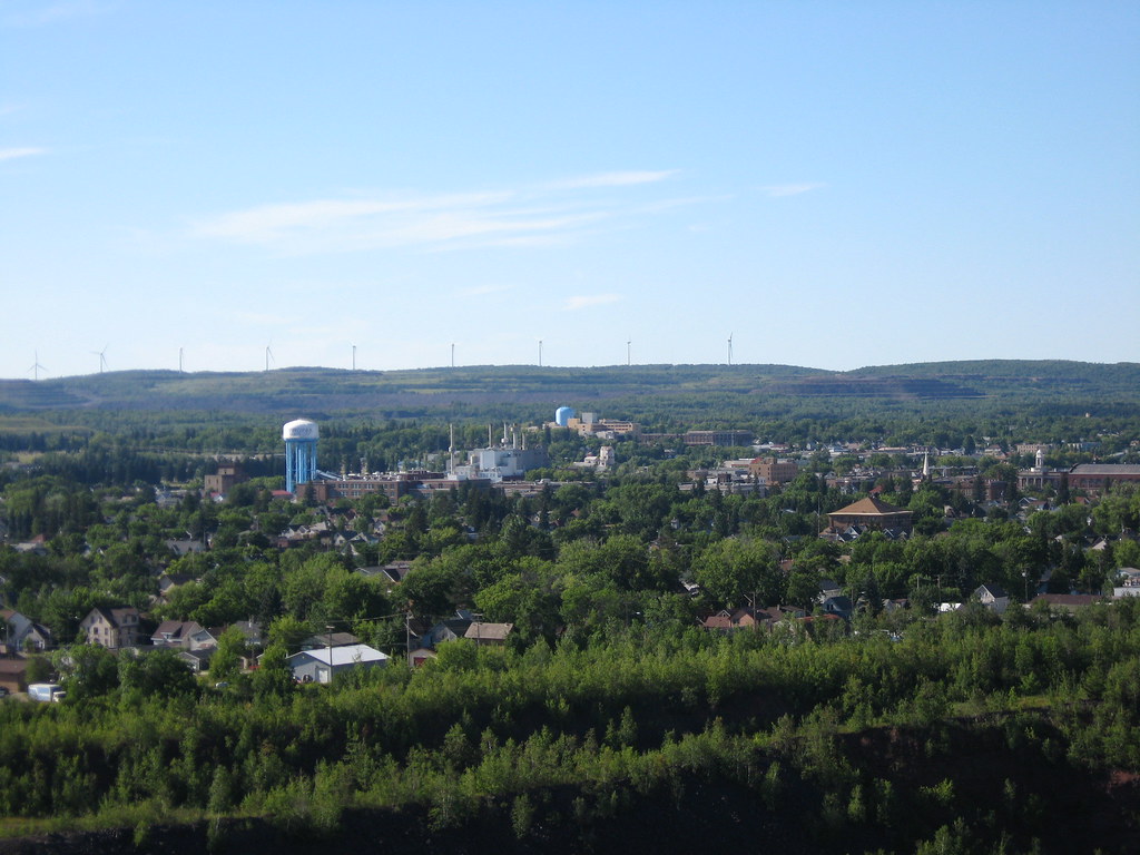
A Huge View Minnesota Spring 2011

Virgina, Mn clouded sunset

Inside the Sound Booth
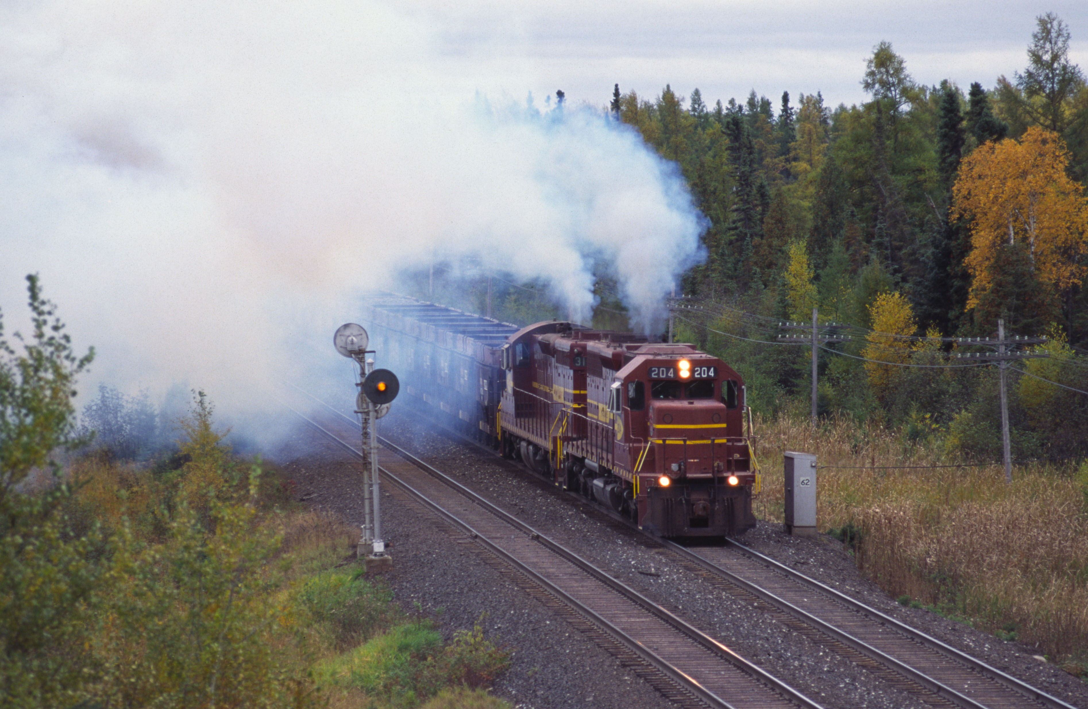
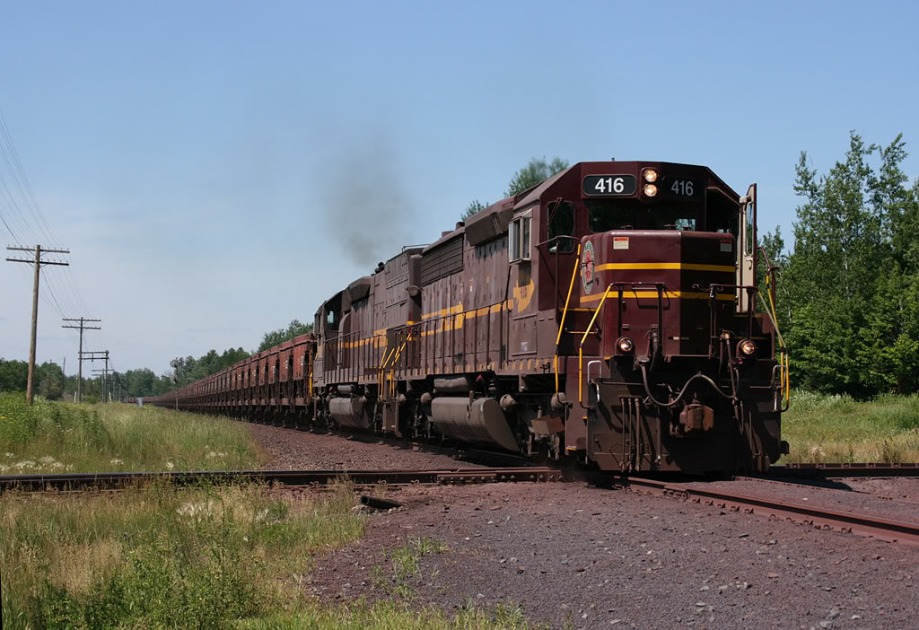
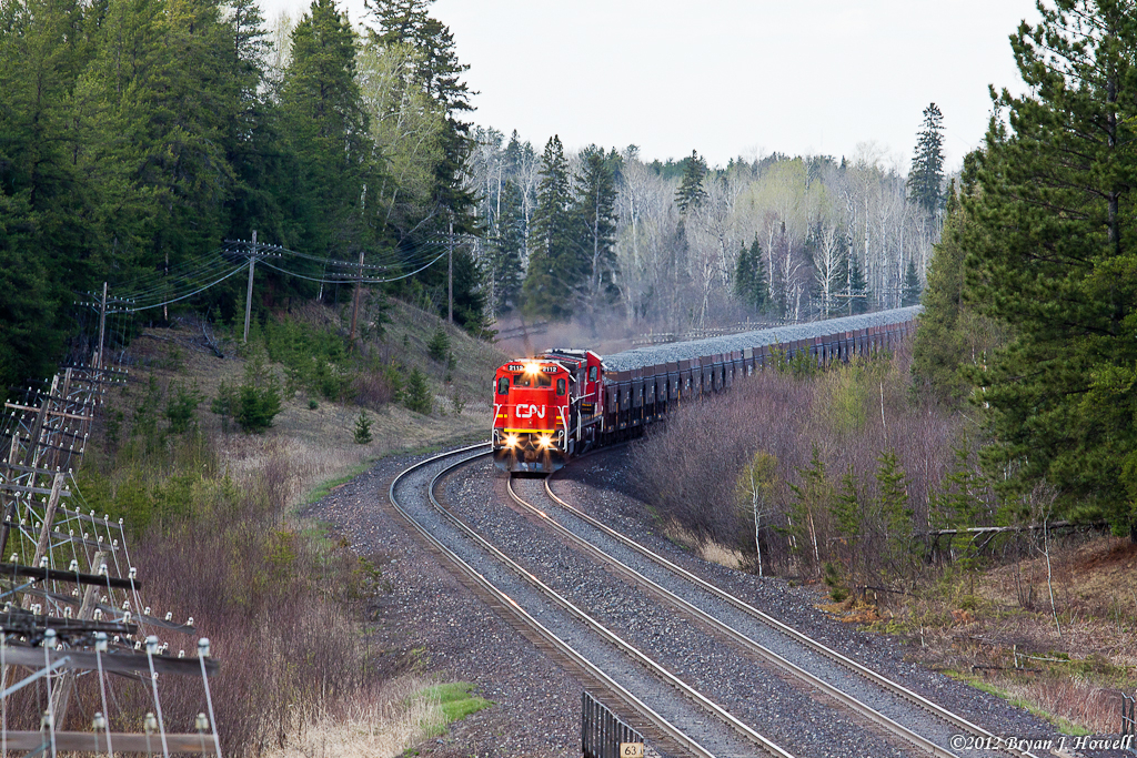
DMIR 204 - 10/1/1999
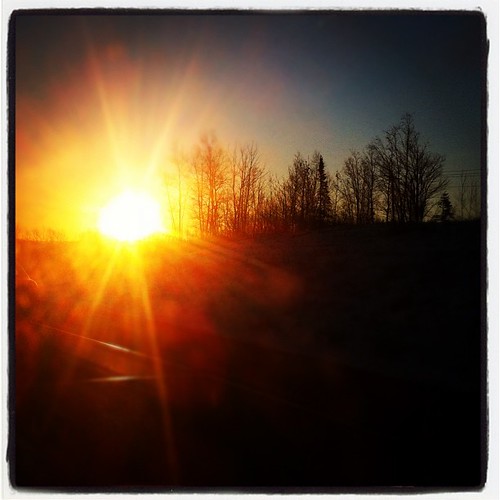
the Glow #silhouettes #drive #iphone #minnesota #tamiro #sunrise #morning
Last of the Missabe 400s
... time has its way with us all #truehdr #yesitsfrommyiphone
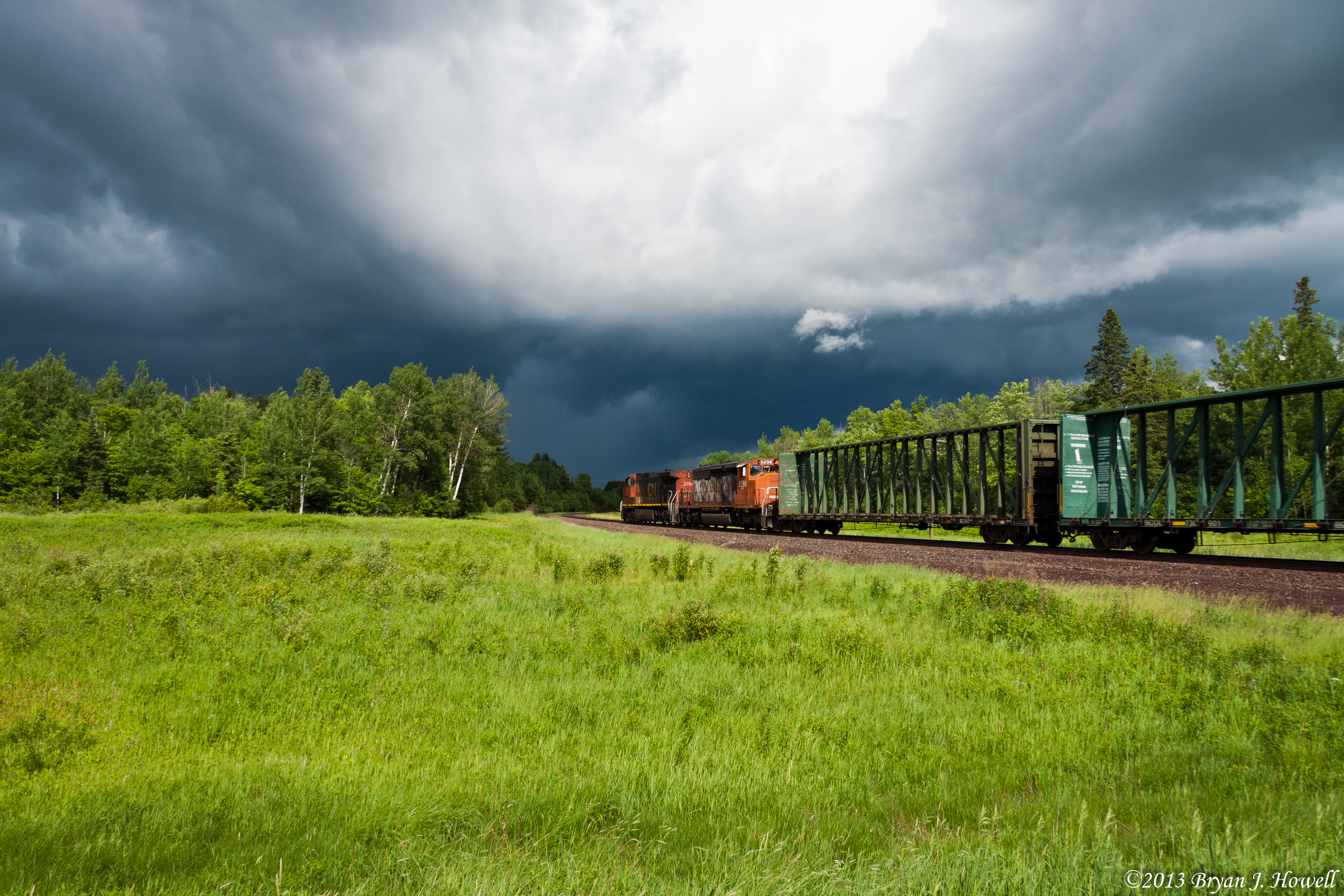
Into the Storm
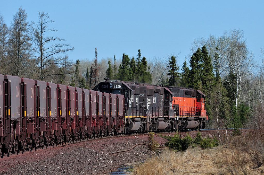
CN #6254 Mt. Iron, Minnesota
Pics of our pug Chazz & geese & the Chisholm high school band
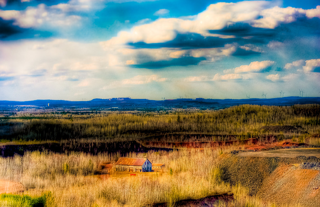
Blue Skies
Sarma'sbbq028.jpg

.. still life?
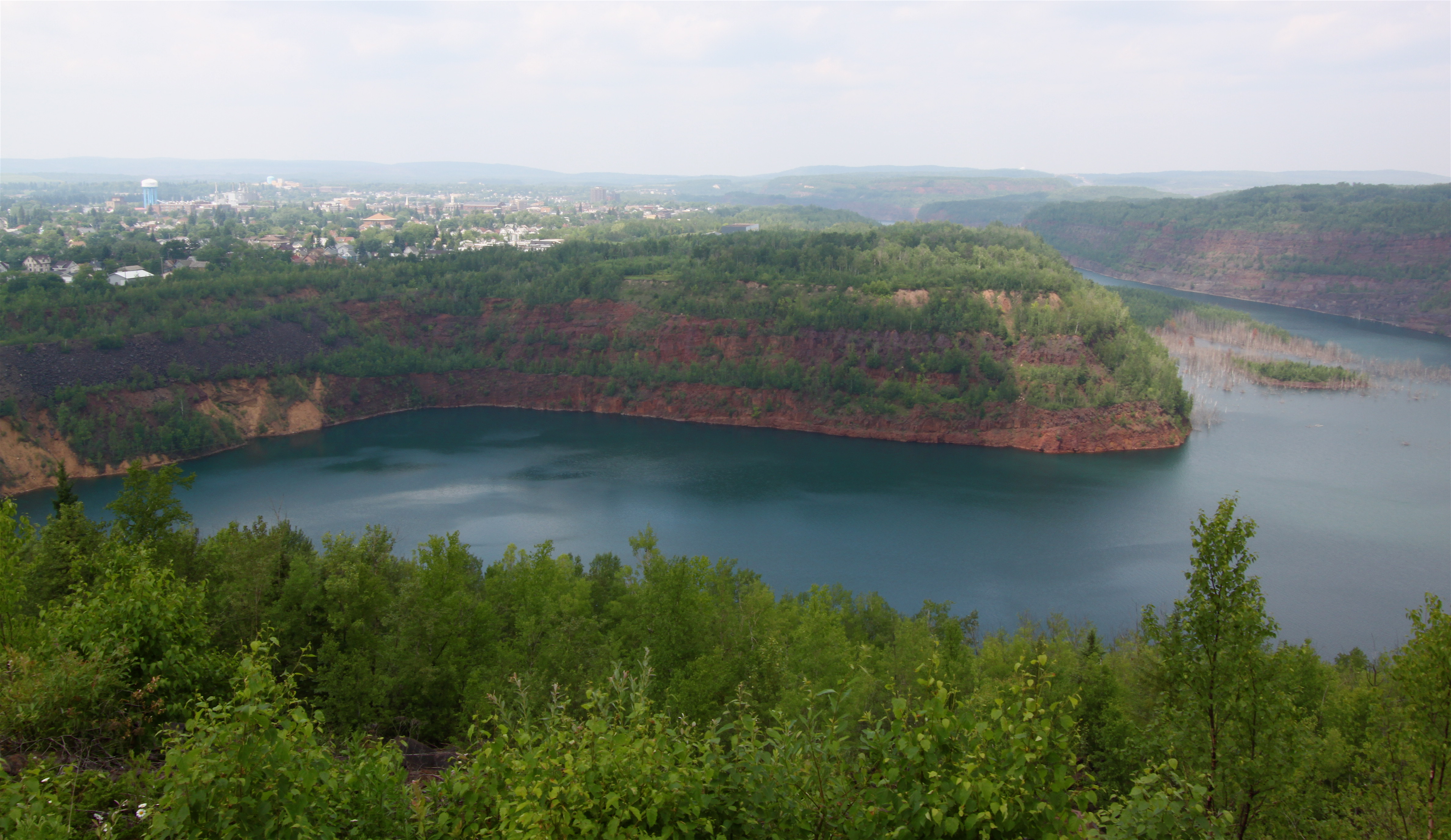
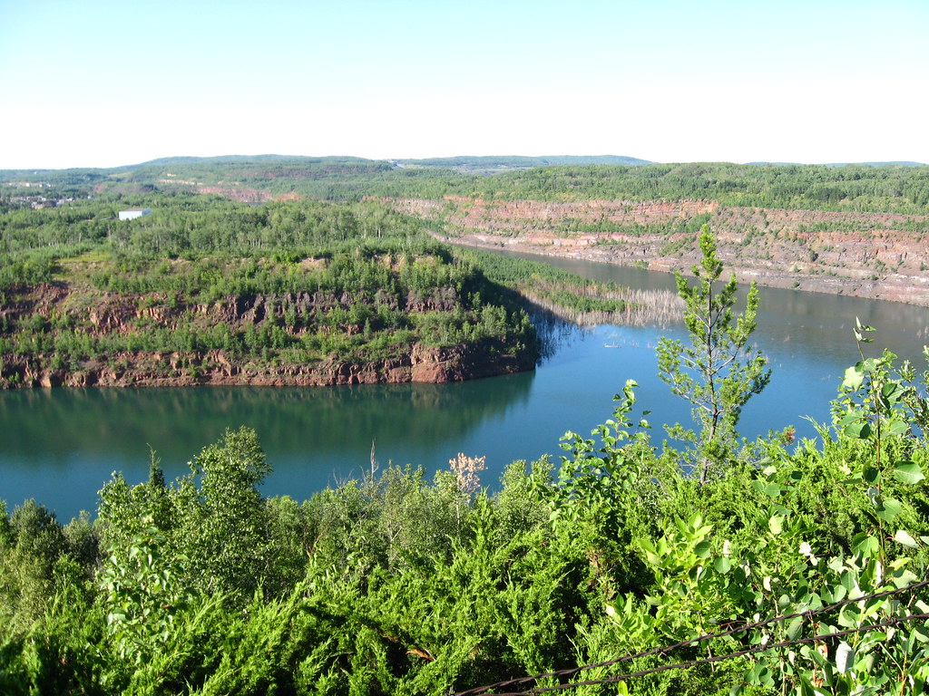
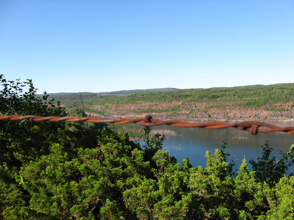
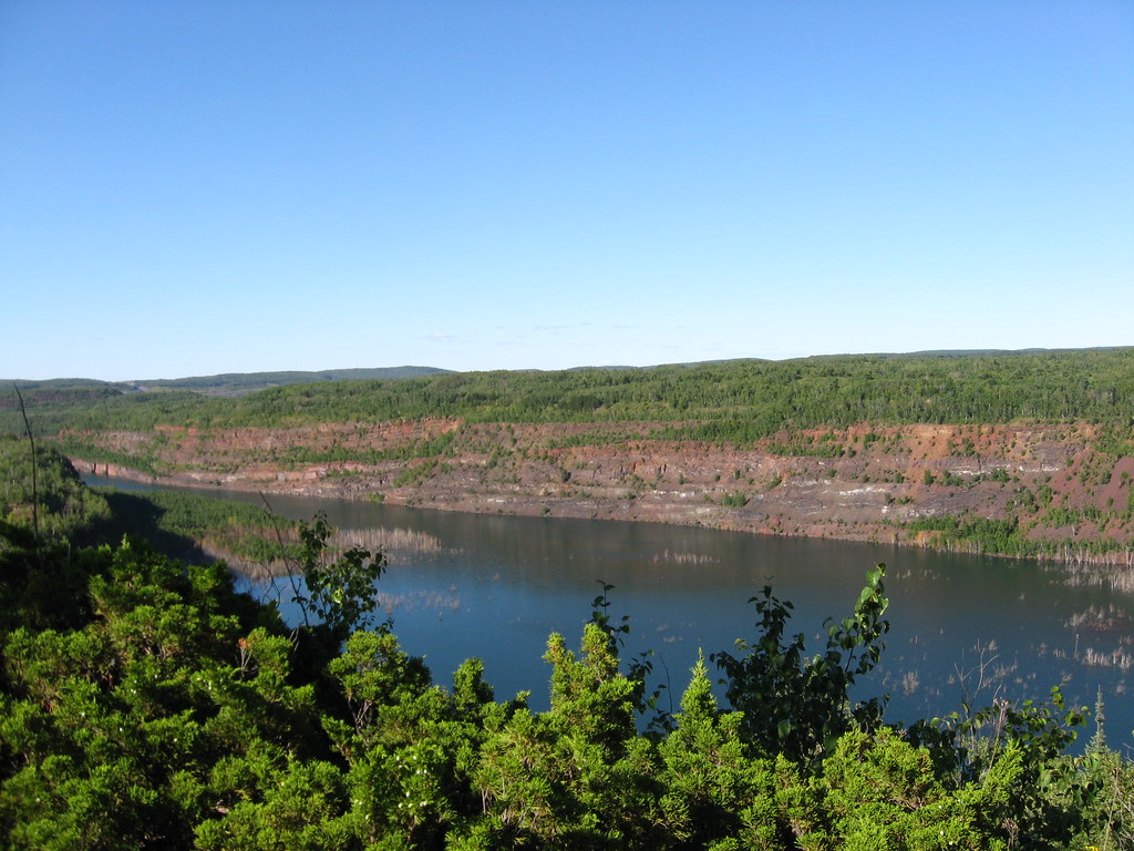
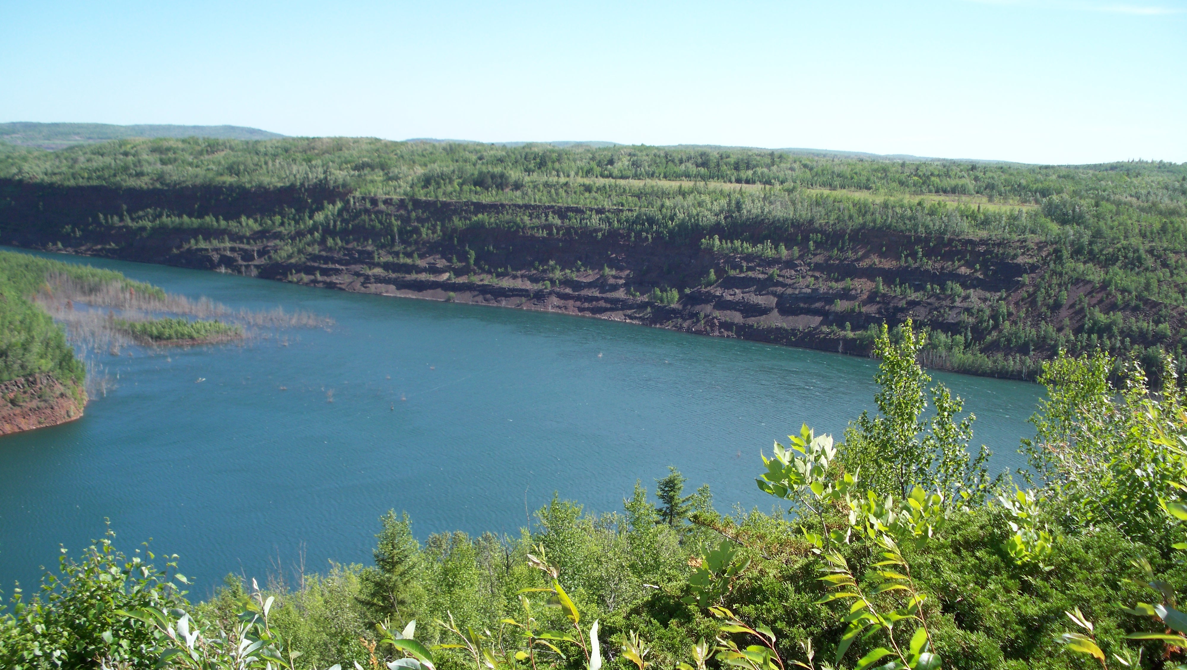
Abandoned open pit iron ore mine, Virginia MN
Sarma'sbbq027.jpg

Open pit in Virginia

Silver-bordered Fritillary
Coming Round the Bend
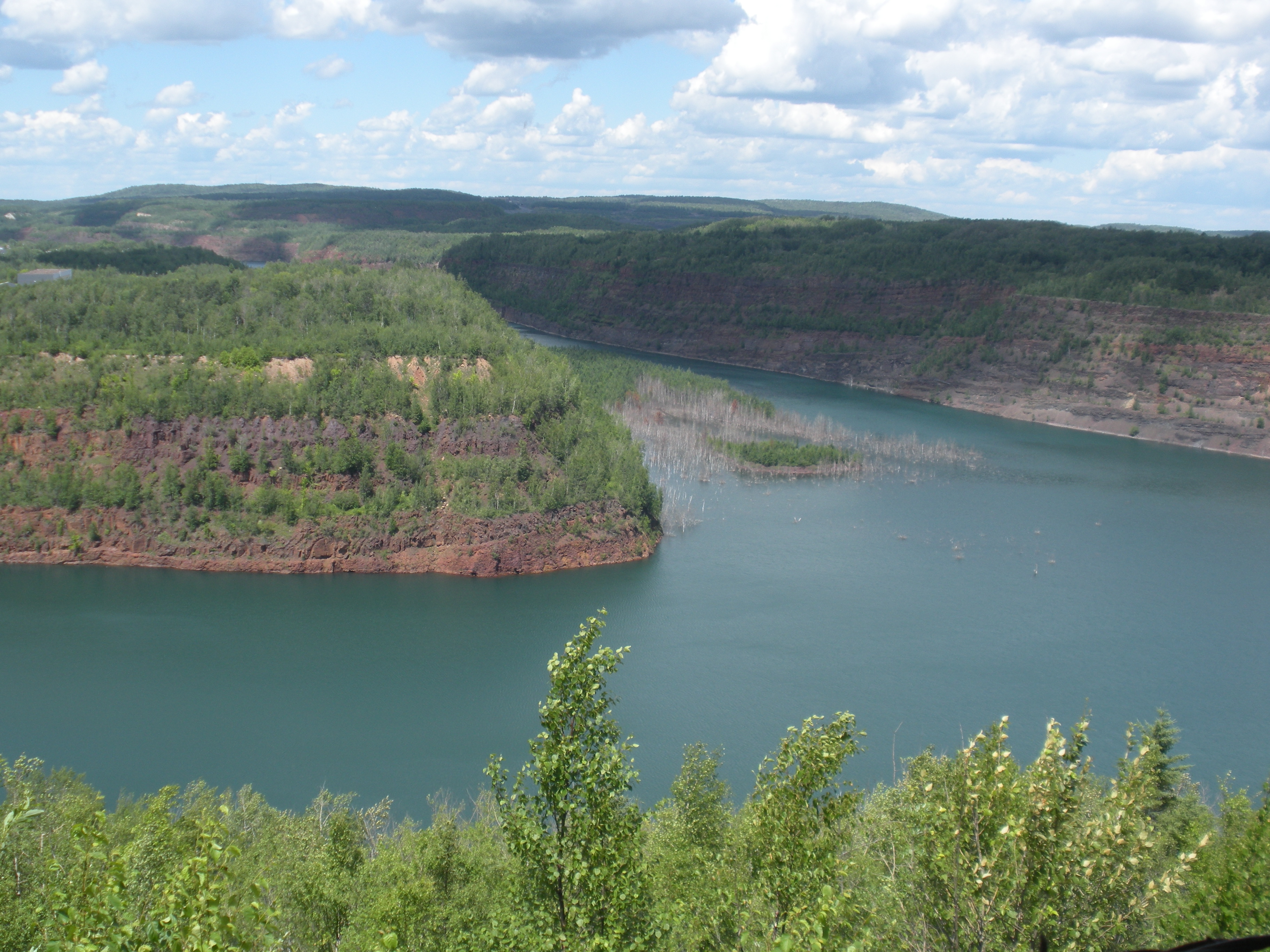
Minnesota's answer to Fjords: Abandoned mine pits.
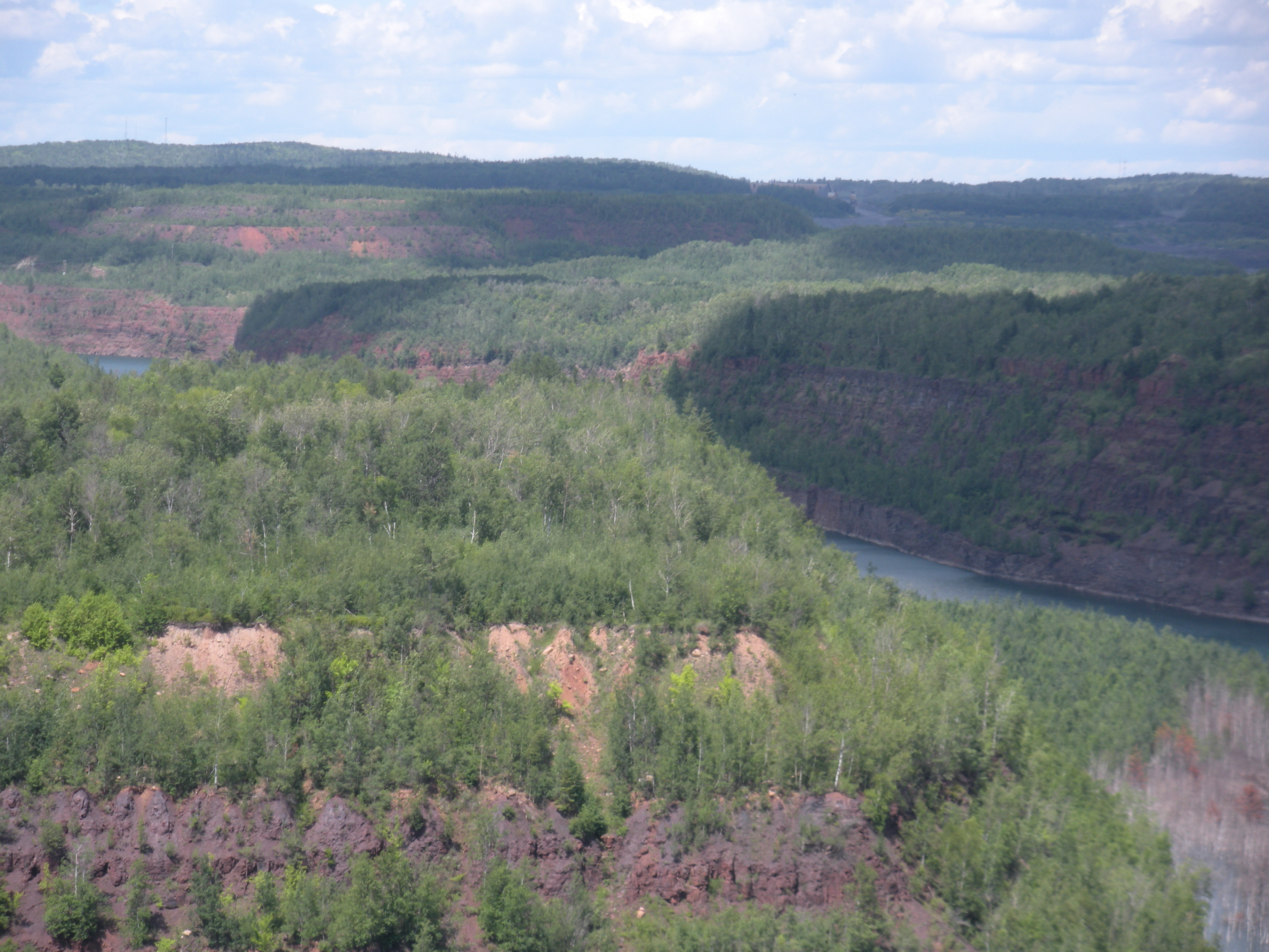
Long, thin, winding, and about 250' deep, it once supplied Detroit with Steel.
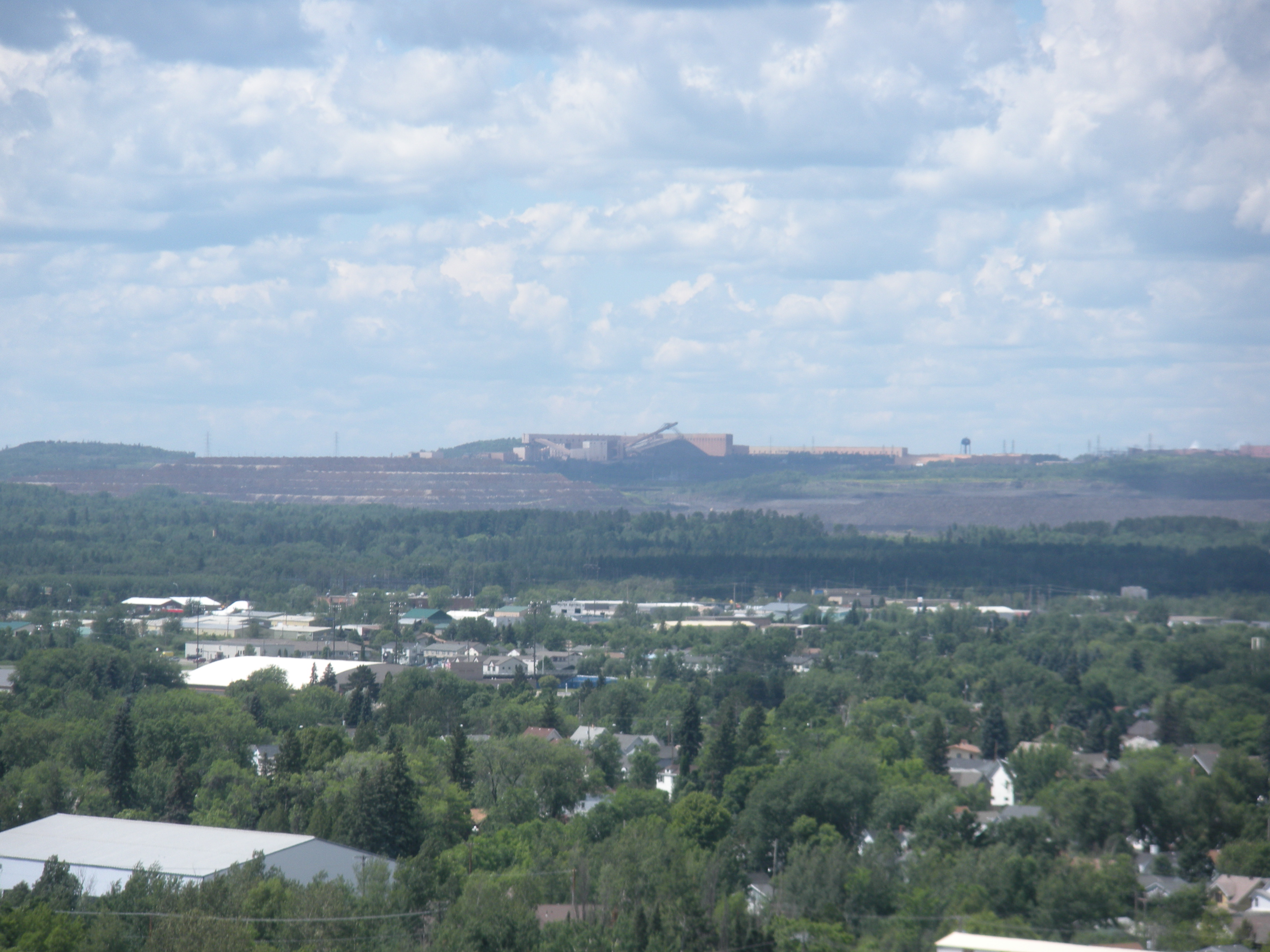
MinnTac in the distance was the old boon...
Mineview in the Sky,Virginia,MN
Out Back
Topographic Map of Mud Lake Rd, Mountain Iron, MN, USA
Find elevation by address:

Places near Mud Lake Rd, Mountain Iron, MN, USA:
Parkville St, Mountain Iron, MN, USA
Virginia
250 Chestnut St
250 Chestnut St
Mountain Iron
W 1st St, Eveleth, MN, USA
Grant Ave, Eveleth, MN, USA
Holly Dr, Virginia, MN, USA
Co Hwy, Iron Junction, MN, USA
8074 Wuori Rd
Gilbert
Broadway, Gilbert, MN, USA
Wuori Township
Iron Junction Rd, Iron Junction, MN, USA
Hwy 7, Iron Junction, MN, USA
Clinton Township
Town Line Rd, Eveleth, MN, USA
Co Hwy 68, Britt, MN, USA
Britt
Main St, Kinney, MN, USA
Recent Searches:
- Elevation of 64 Danakas Dr, Winnipeg, MB R2C 5N7, Canada
- Elevation of 4 Vale Rd, Sheffield S3 9QX, UK
- Elevation of Keene Point Drive, Keene Point Dr, Grant, AL, USA
- Elevation of State St, Zanesville, OH, USA
- Elevation of Austin Stone Dr, Haslet, TX, USA
- Elevation of Bydgoszcz, Poland
- Elevation of Bydgoszcz, Poland
- Elevation of Calais Dr, Del Mar, CA, USA
- Elevation of Placer Mine Ln, West Jordan, UT, USA
- Elevation of E 63rd St, New York, NY, USA