Elevation of US-50, Cotopaxi, CO, USA
Location: United States > Colorado > Cotopaxi >
Longitude: -105.60342
Latitude: 38.4095396
Elevation: 1903m / 6243feet
Barometric Pressure: 80KPa
Elevation Map:
Satellite Map:
Related Photos:
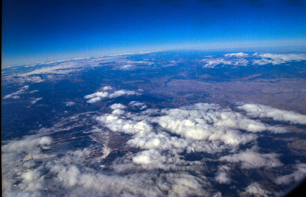
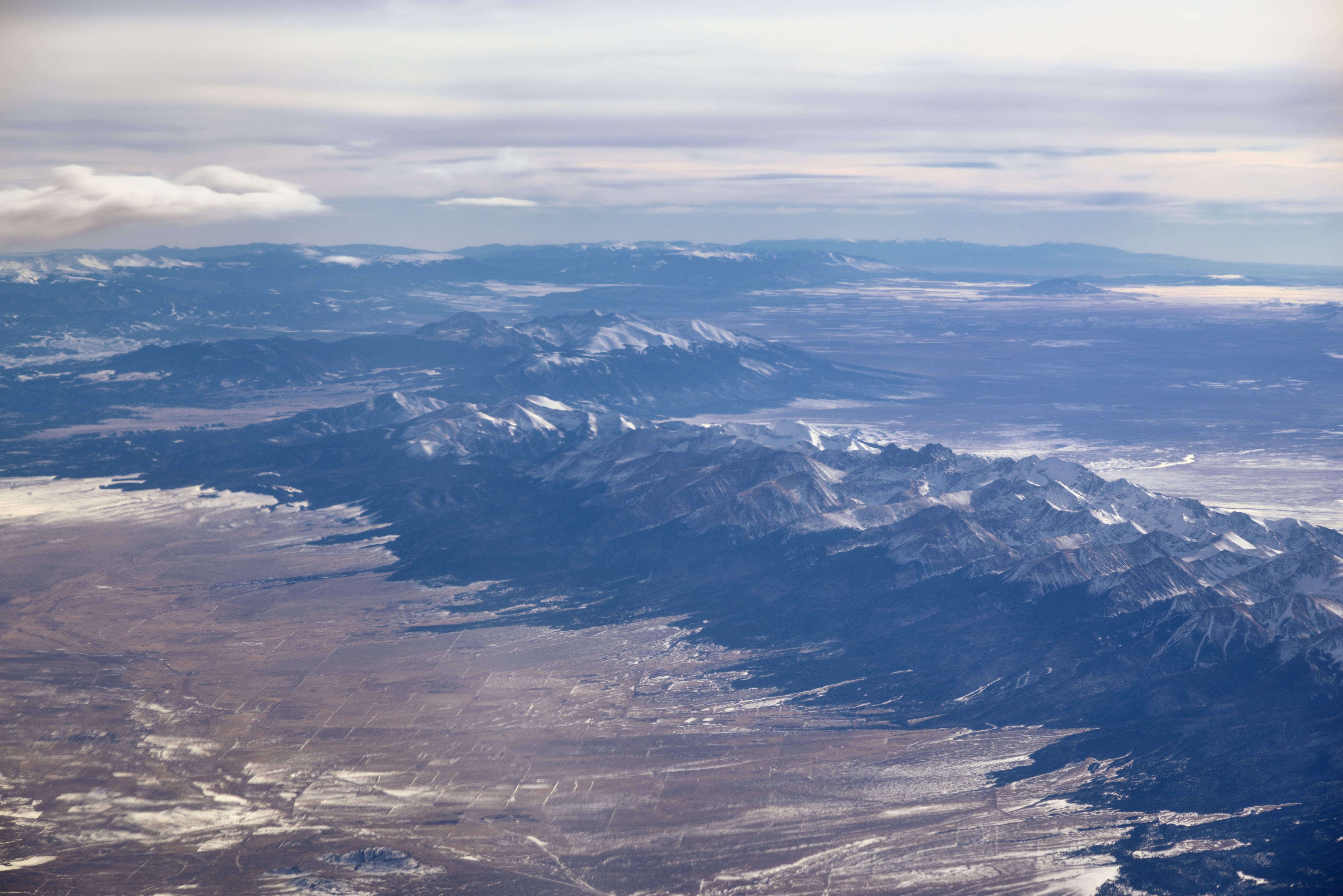
View From Airplane 1999

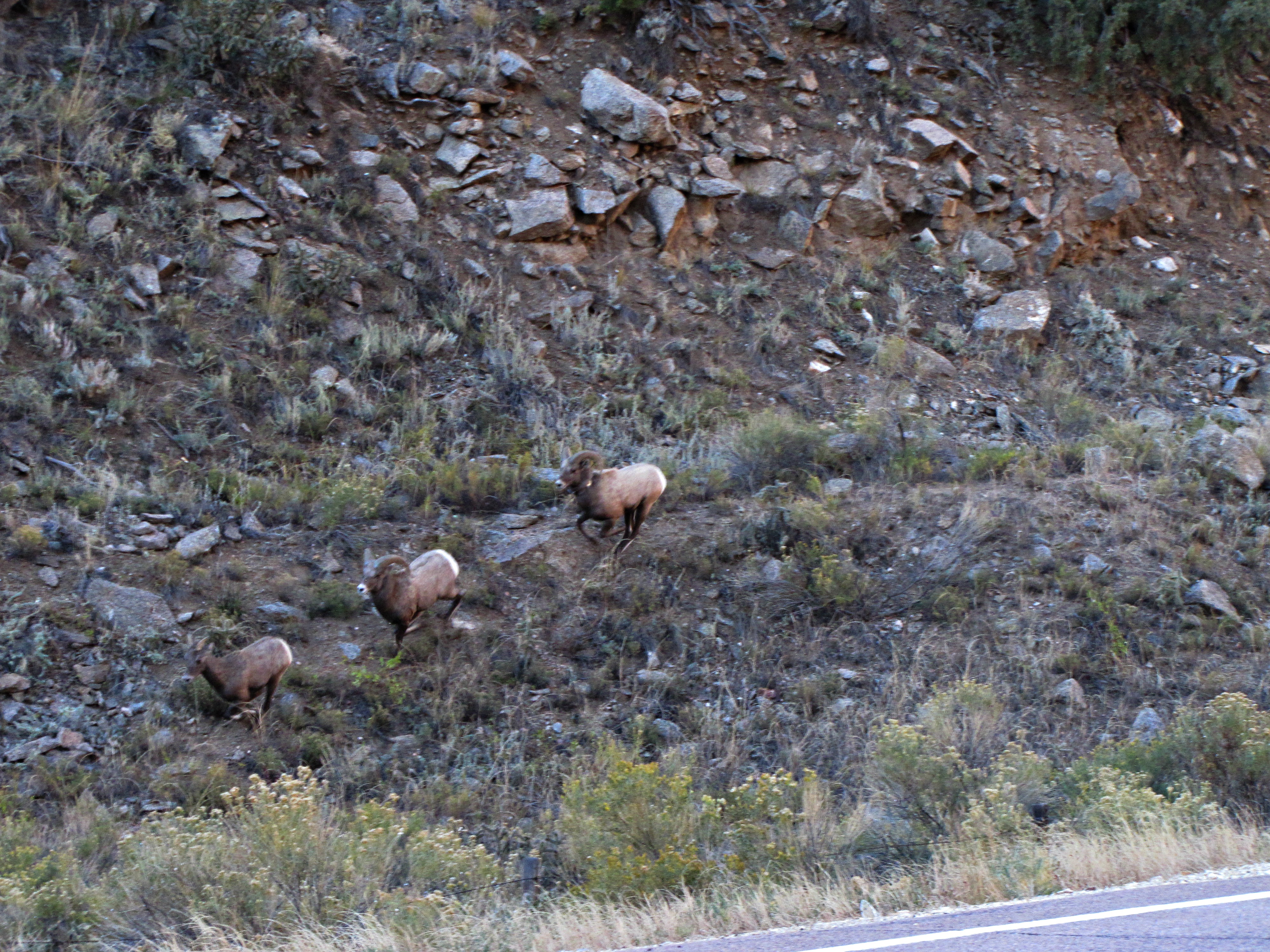
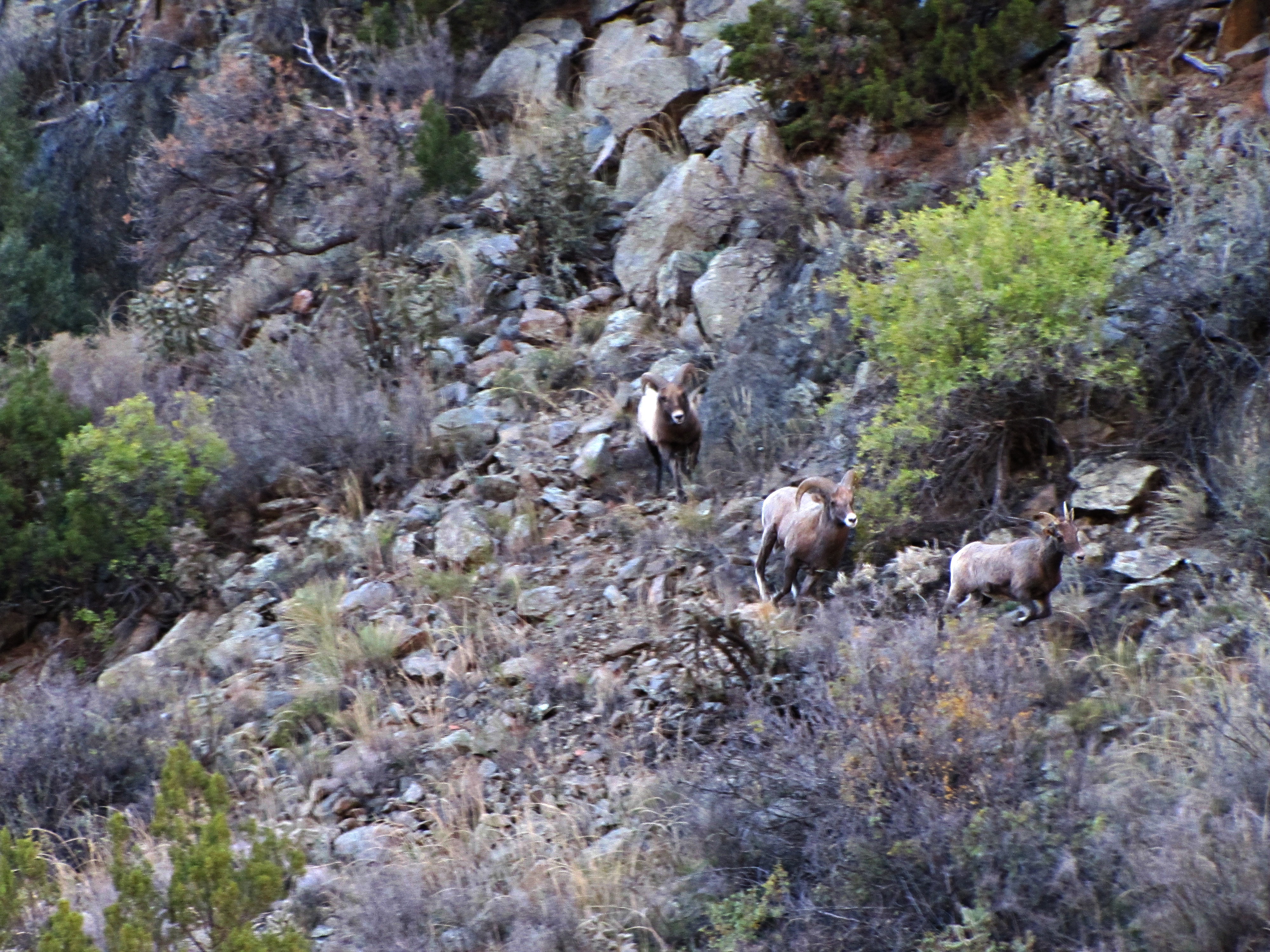
The Rut (1 of 6)
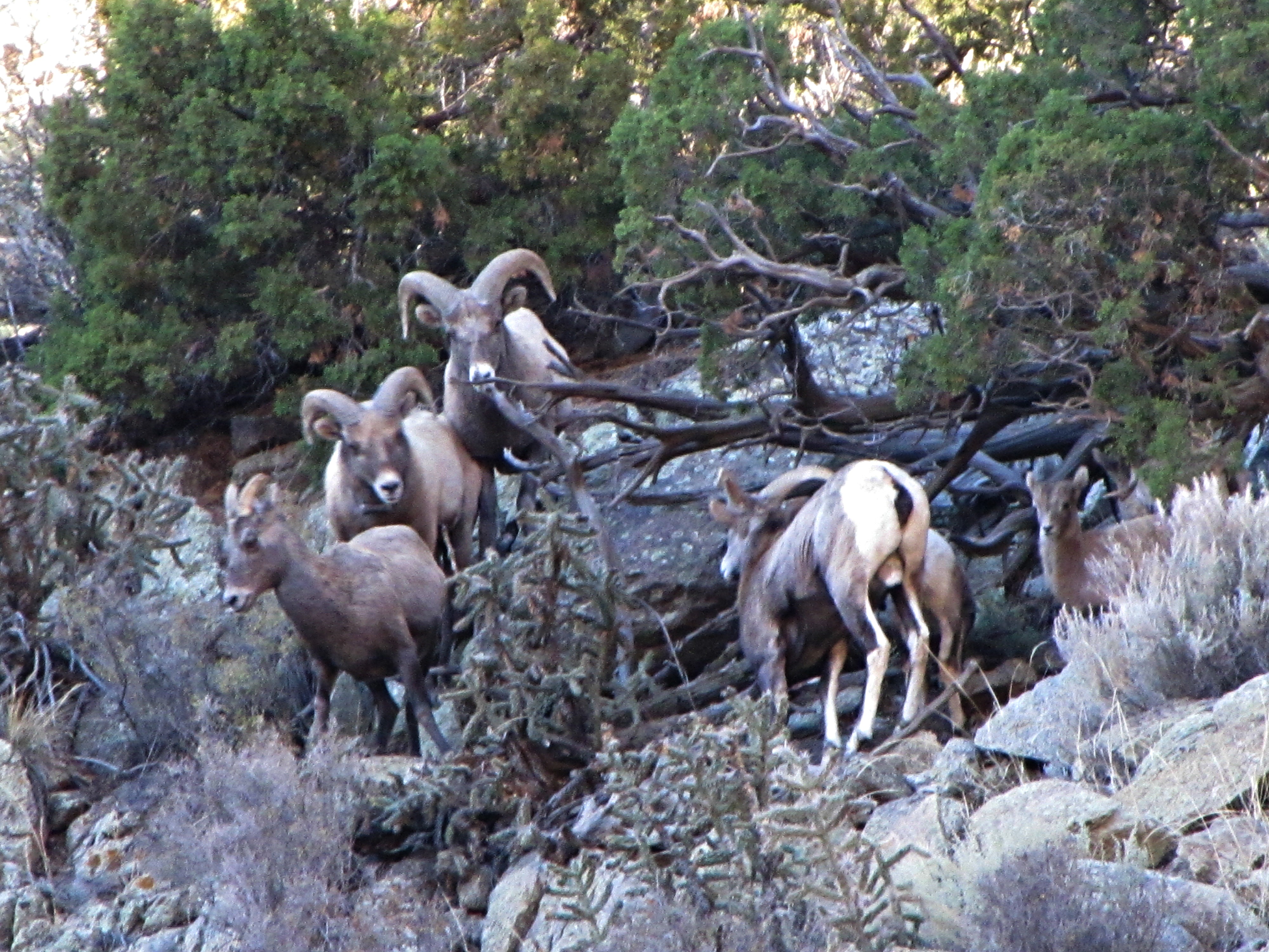
The rut (6 of 6)
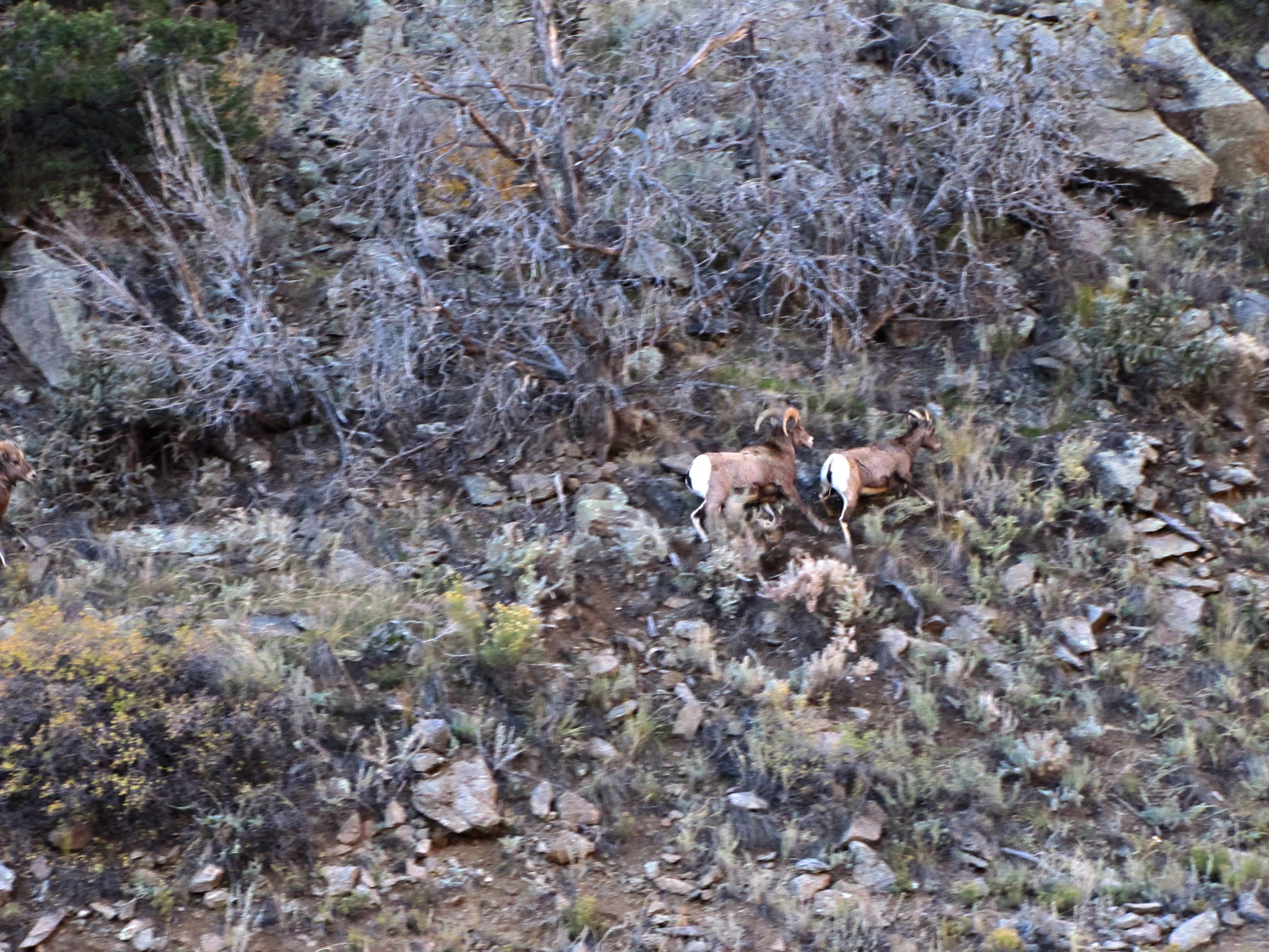
The rut (3 of 6)
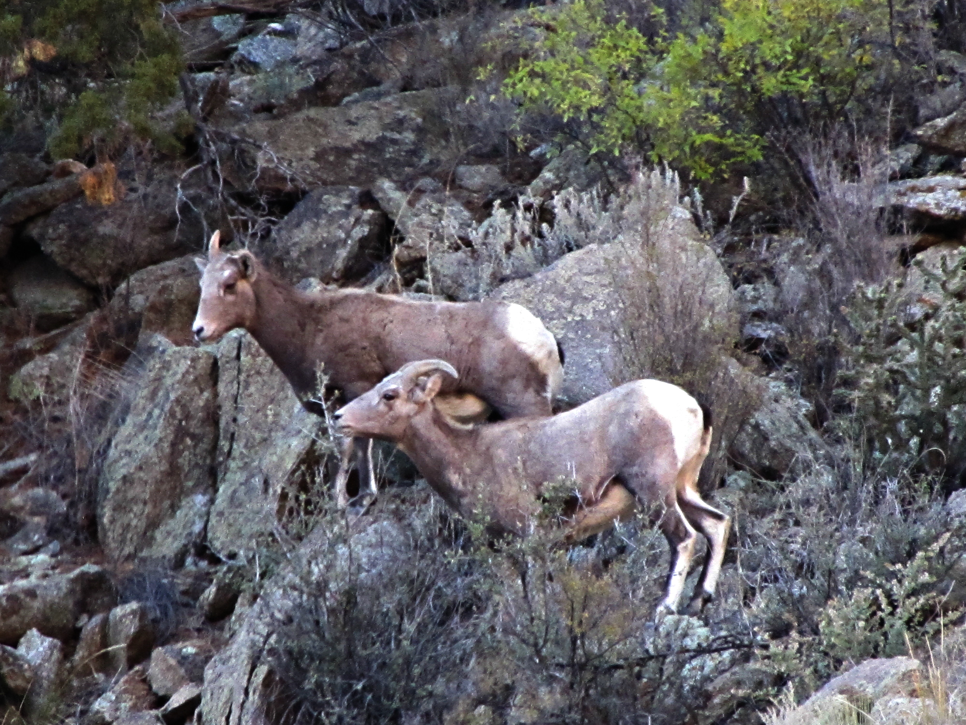
The rut (5 of 6)
The rut (4 of 6)
The rut (2 of 6)
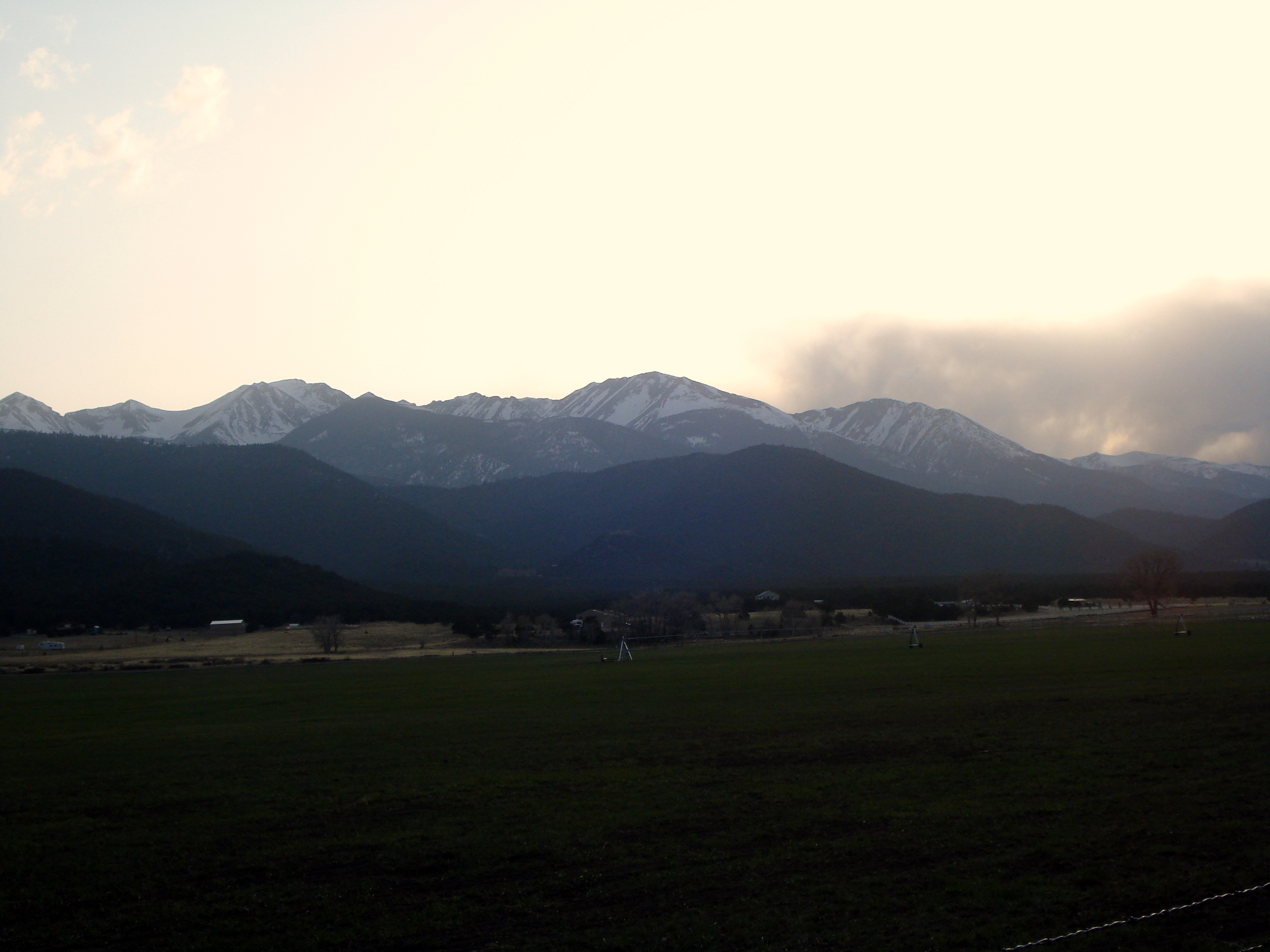
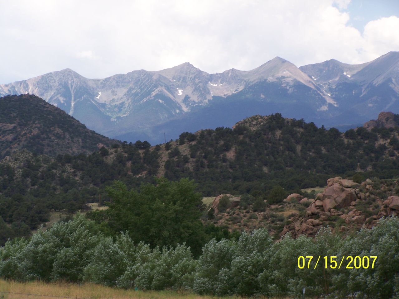
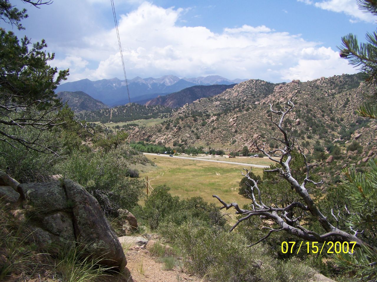
Sangre de Cristo Range and the Rocky Mountains
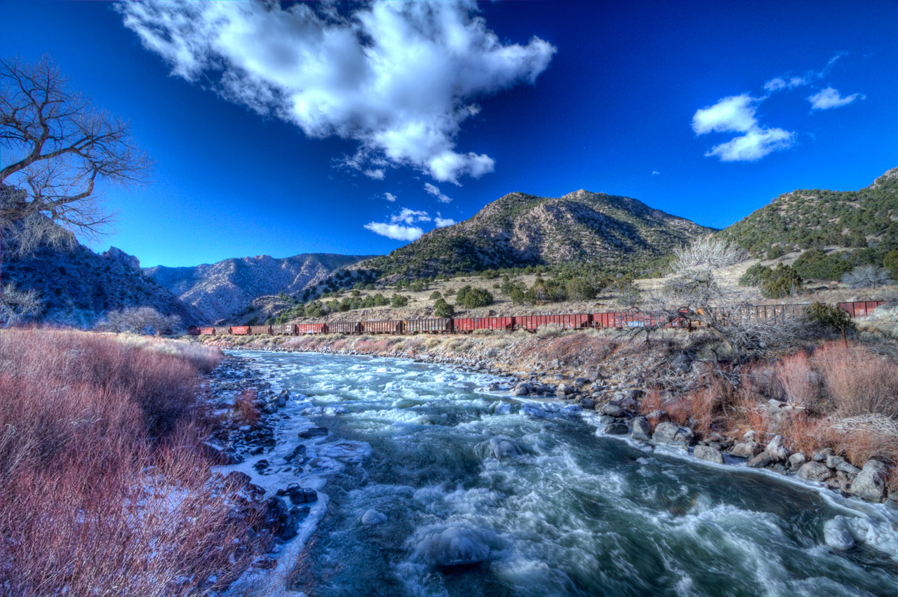
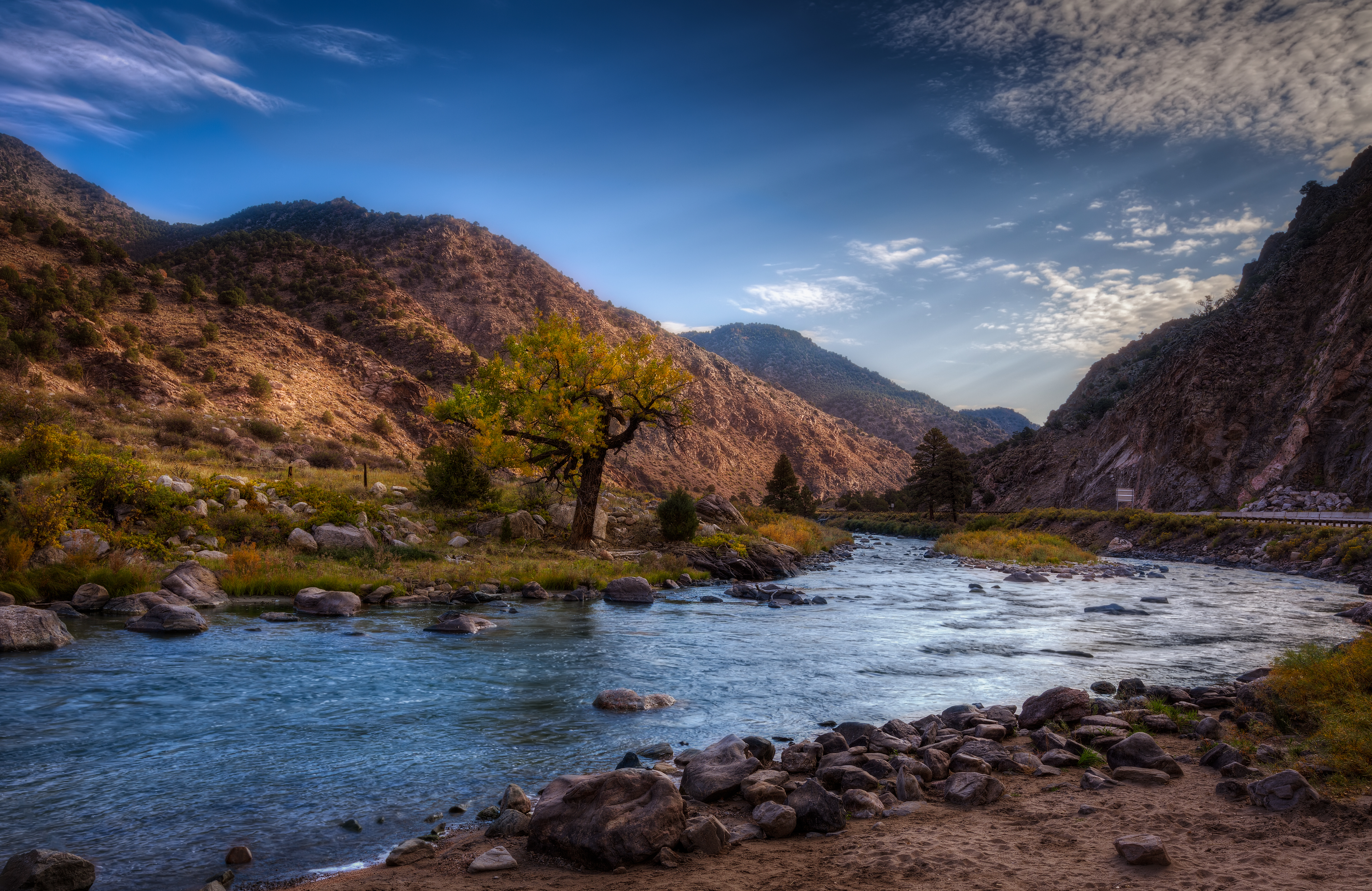
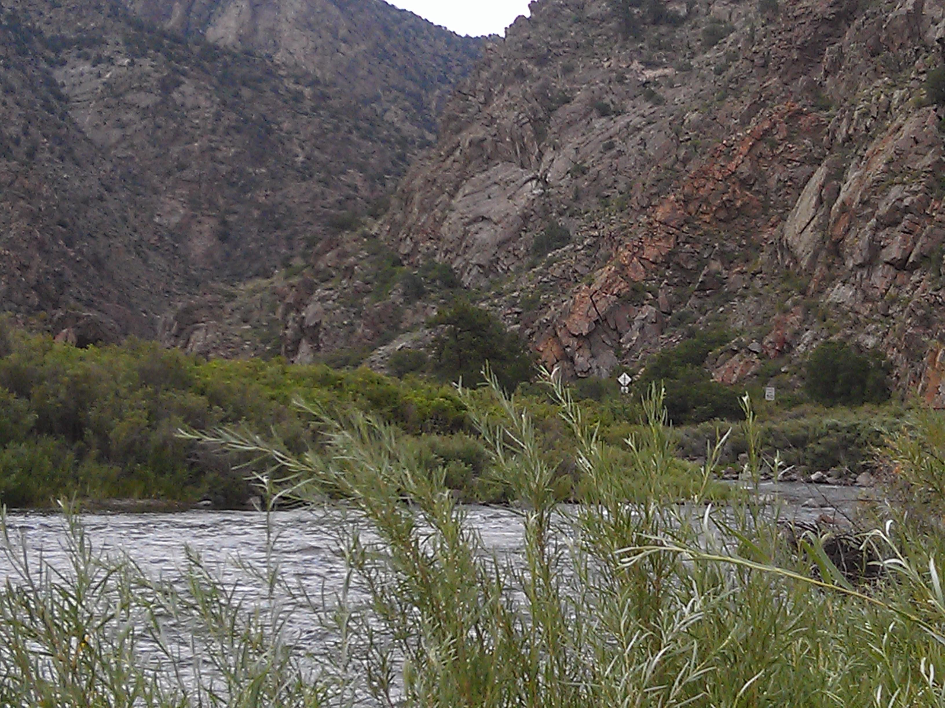
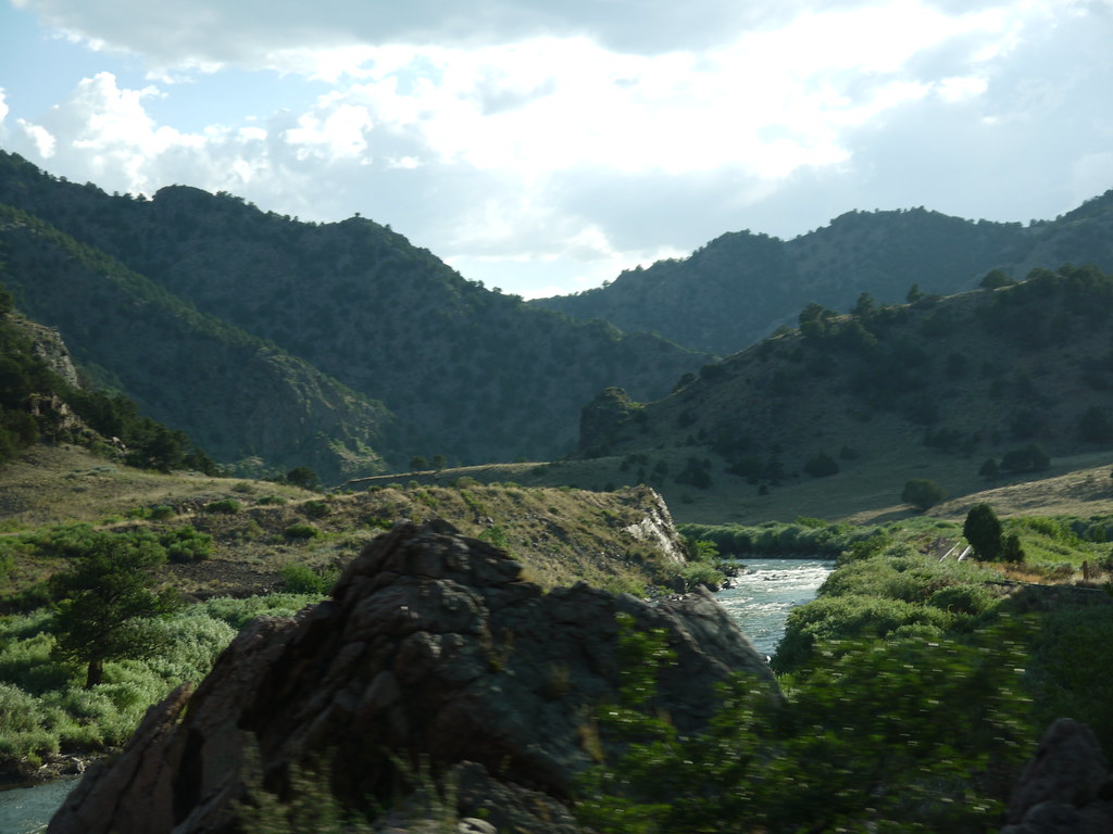
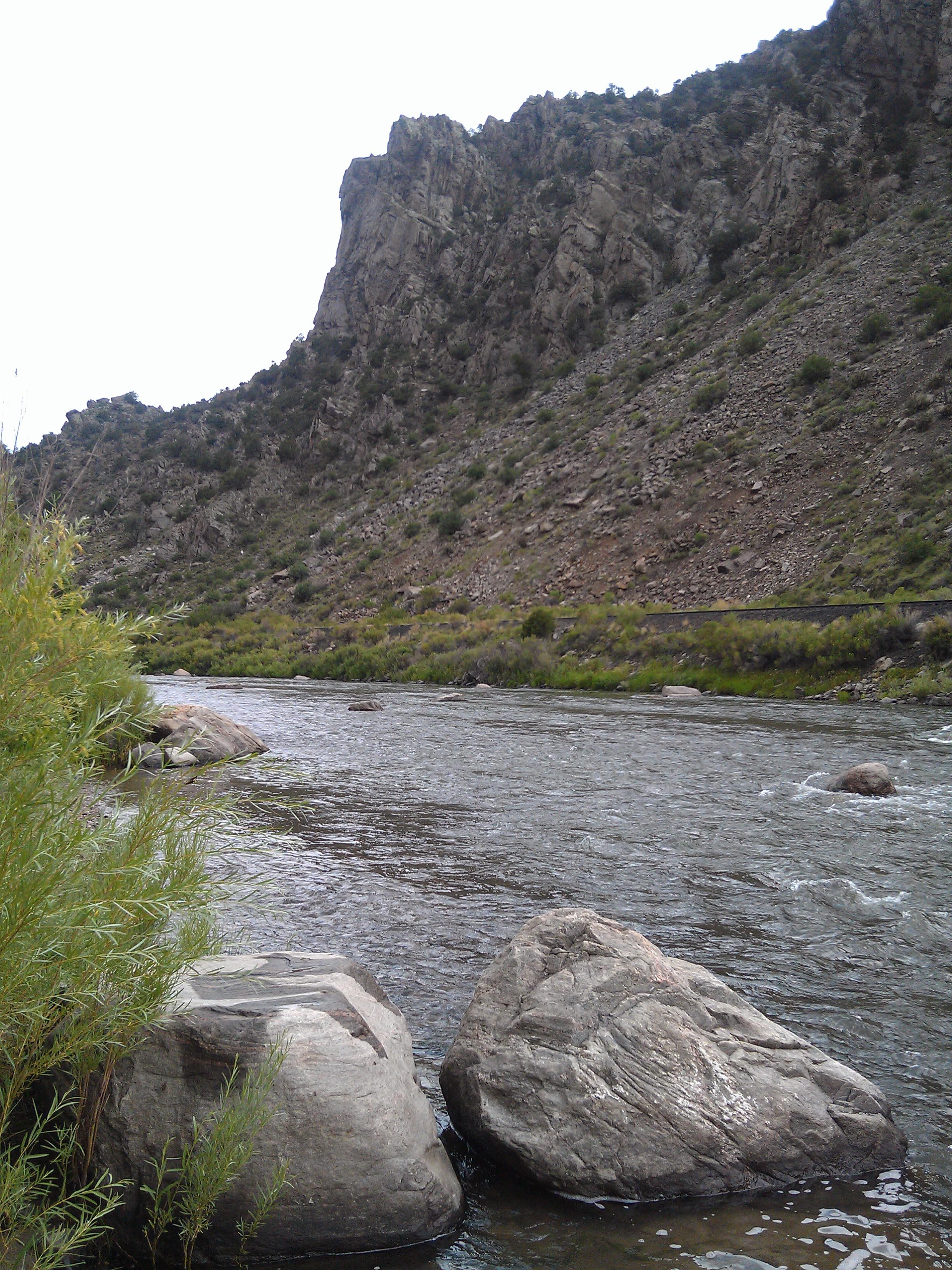
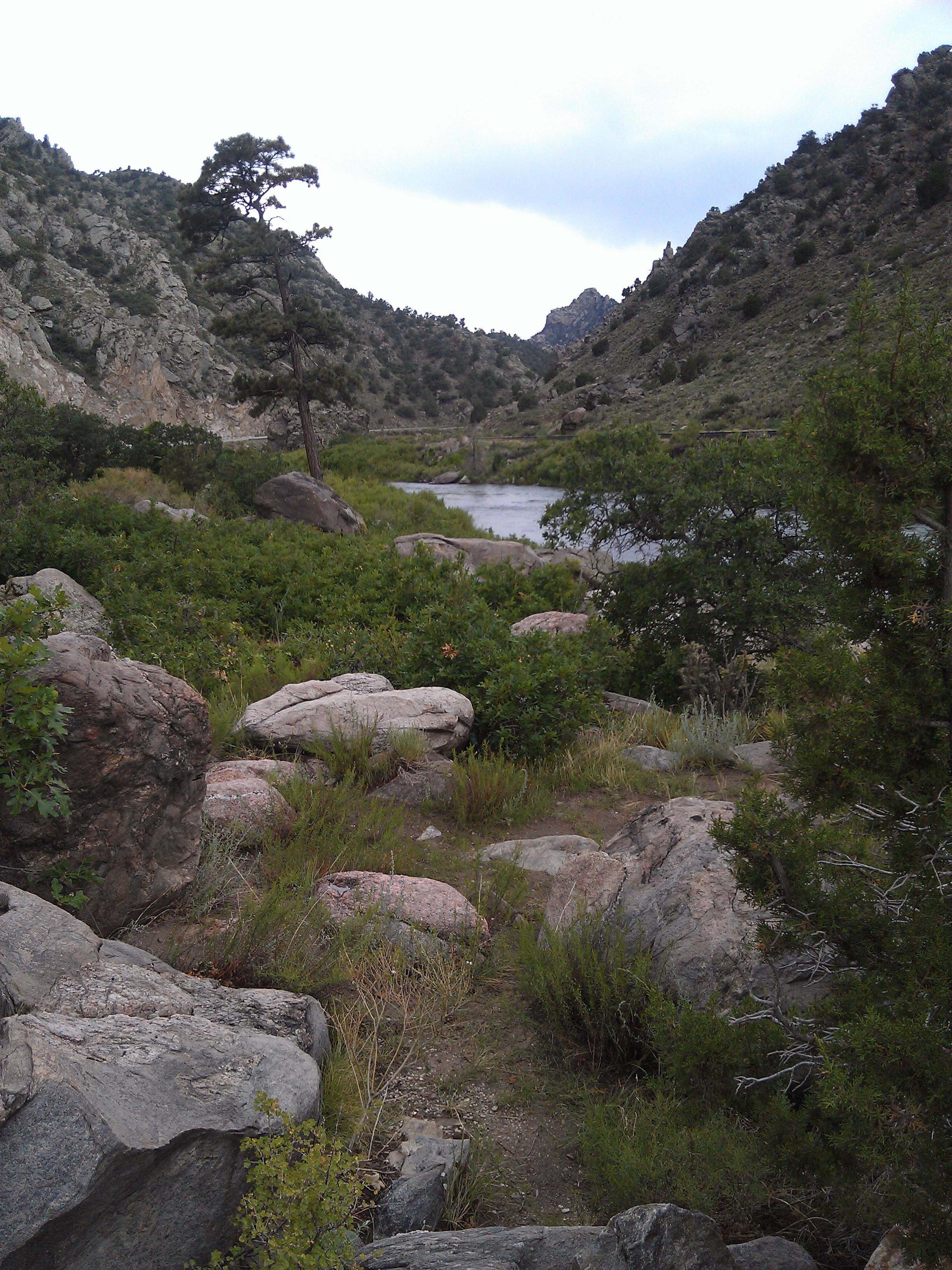
Arkansas River
Cotopaxi bound
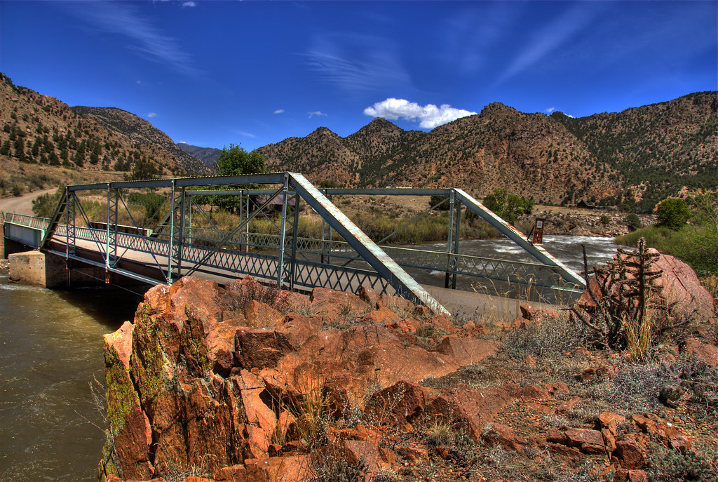
Texas Creek Bridge

iphone pano
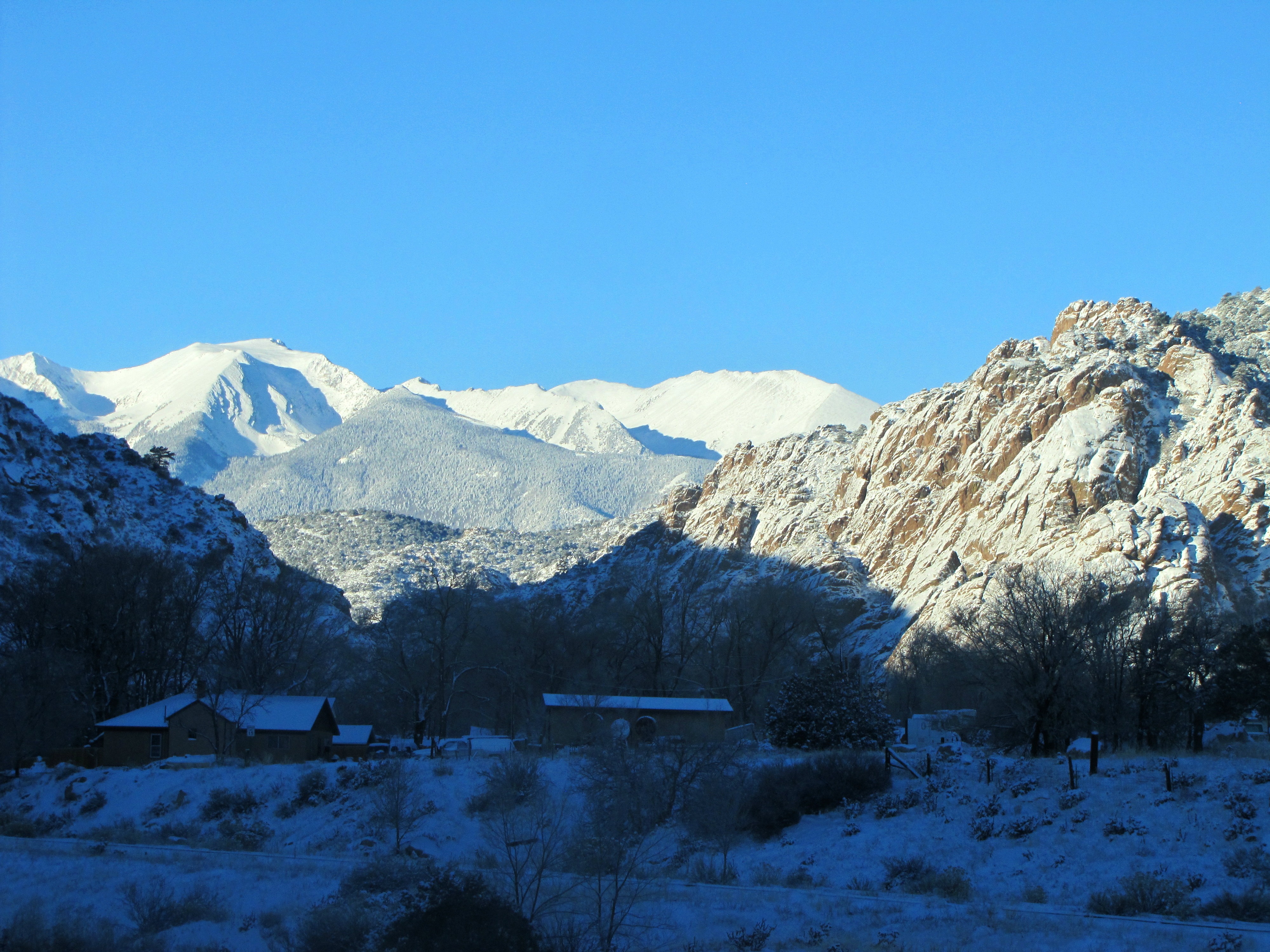
Early winter morning in Cotopaxi
Arkansas Banks

Blogging on the fly.
us_trip 067
Arkansas River- Fremont County CO (3)
P1010438.JPG
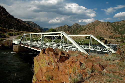
Texas Creek Bridge, Arkansas River, Colorado
Picture 012
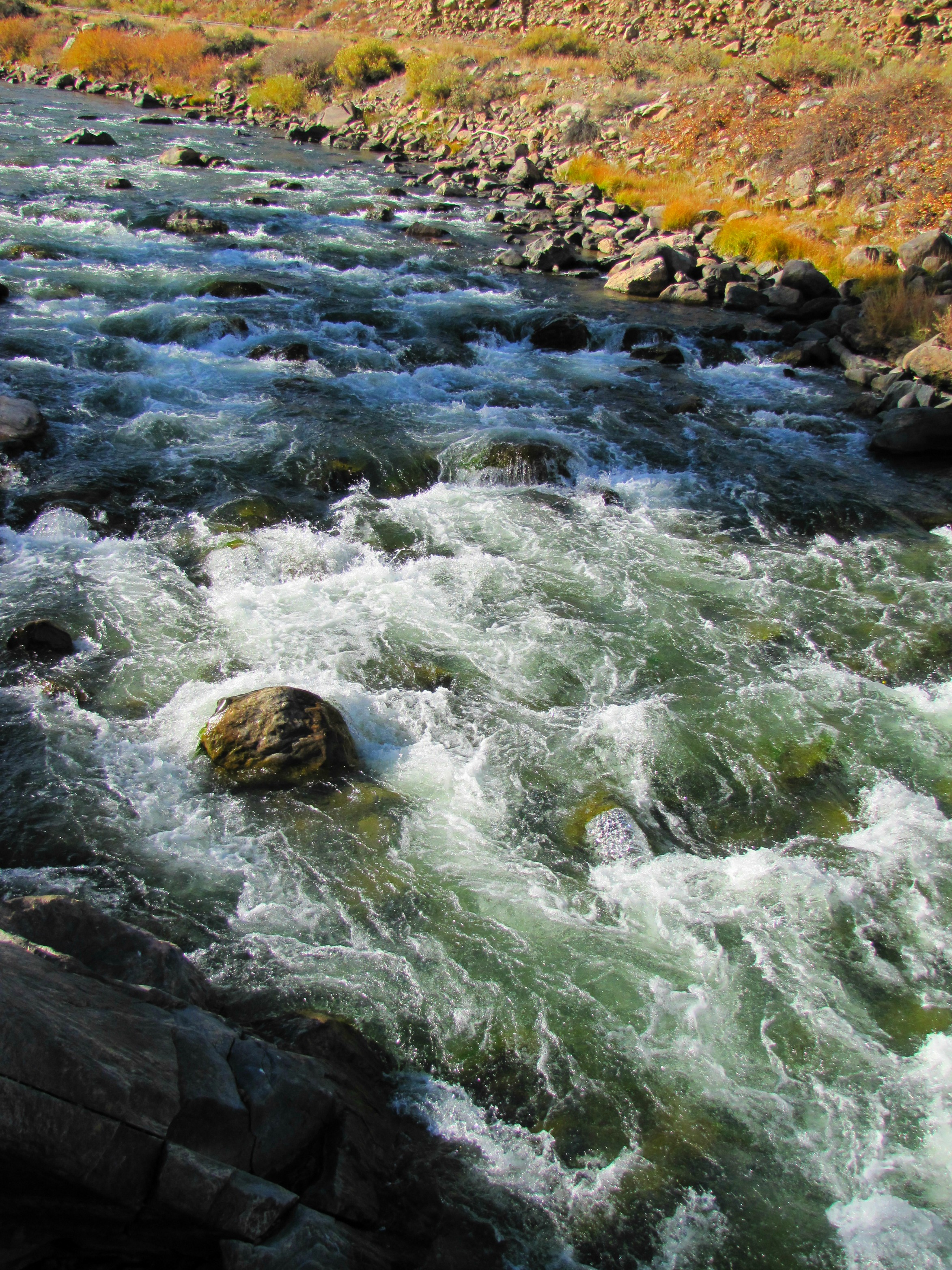
Arkansas River rapids (2of 3)
Arkansas River- Fremont County CO (4)

Sagebrush Checkerspot
A bit too far
Picture 015

US 50 east of Salida
Arkansas River- Fremont County CO (2)

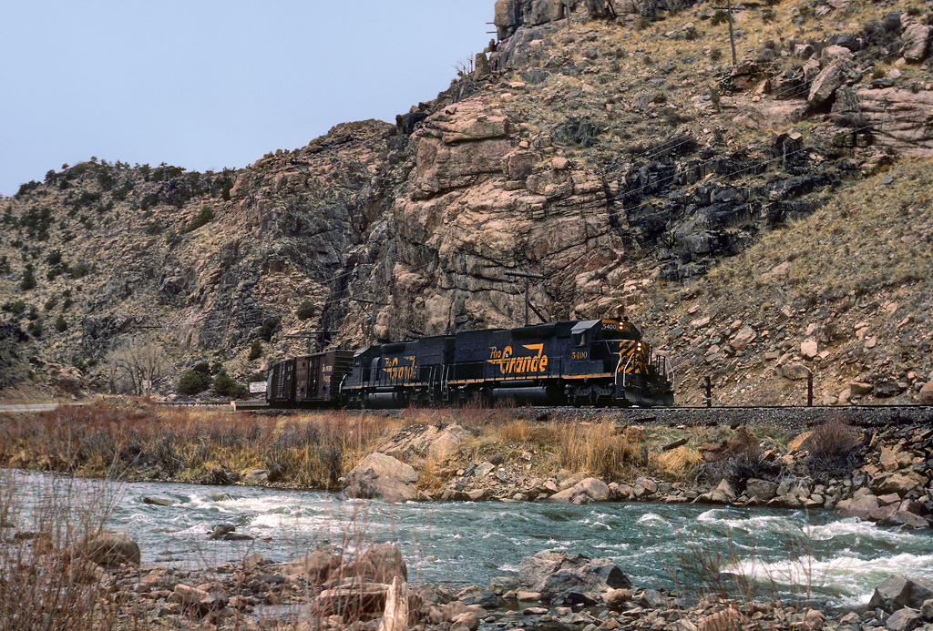
Arkansas River Straddled by the Railroad and US 50

KOA- Cotopaxi CO (2)
Topographic Map of US-50, Cotopaxi, CO, USA
Find elevation by address:

Places near US-50, Cotopaxi, CO, USA:
767 Shannon Rd
493 Shannon Rd
25580 Us-50
419 Shannon Rd
Texas Creek
24634 Us-50
Bull Ridge
1420 Coyote Run
568 Big Bow Dr
1154 Kirk Dr
1154 Kirk Dr
145 Last Chance Way
145 County Rd 51
Cotopaxi
Cotopaxi Store
512 Big Bow Dr
1544 Pronghorn Path
3018 Co Rd 28
603 Big Bow Dr
3283 Co Rd 28
Recent Searches:
- Elevation of Tenjo, Cundinamarca, Colombia
- Elevation of Côte-des-Neiges, Montreal, QC H4A 3J6, Canada
- Elevation of Bobcat Dr, Helena, MT, USA
- Elevation of Zu den Ihlowbergen, Althüttendorf, Germany
- Elevation of Badaber, Peshawar, Khyber Pakhtunkhwa, Pakistan
- Elevation of SE Heron Loop, Lincoln City, OR, USA
- Elevation of Slanický ostrov, 01 Námestovo, Slovakia
- Elevation of Spaceport America, Co Rd A, Truth or Consequences, NM, USA
- Elevation of Warwick, RI, USA
- Elevation of Fern Rd, Whitmore, CA, USA