Elevation of US-50, Cotopaxi, CO, USA
Location: United States > Colorado > Cotopaxi >
Longitude: -105.62126
Latitude: 38.3919803
Elevation: 1930m / 6332feet
Barometric Pressure: 80KPa
Elevation Map:
Satellite Map:
Related Photos:
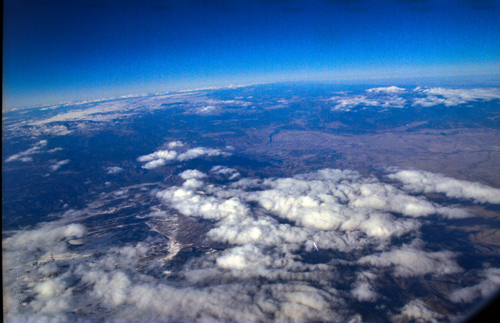
View From Airplane 1999
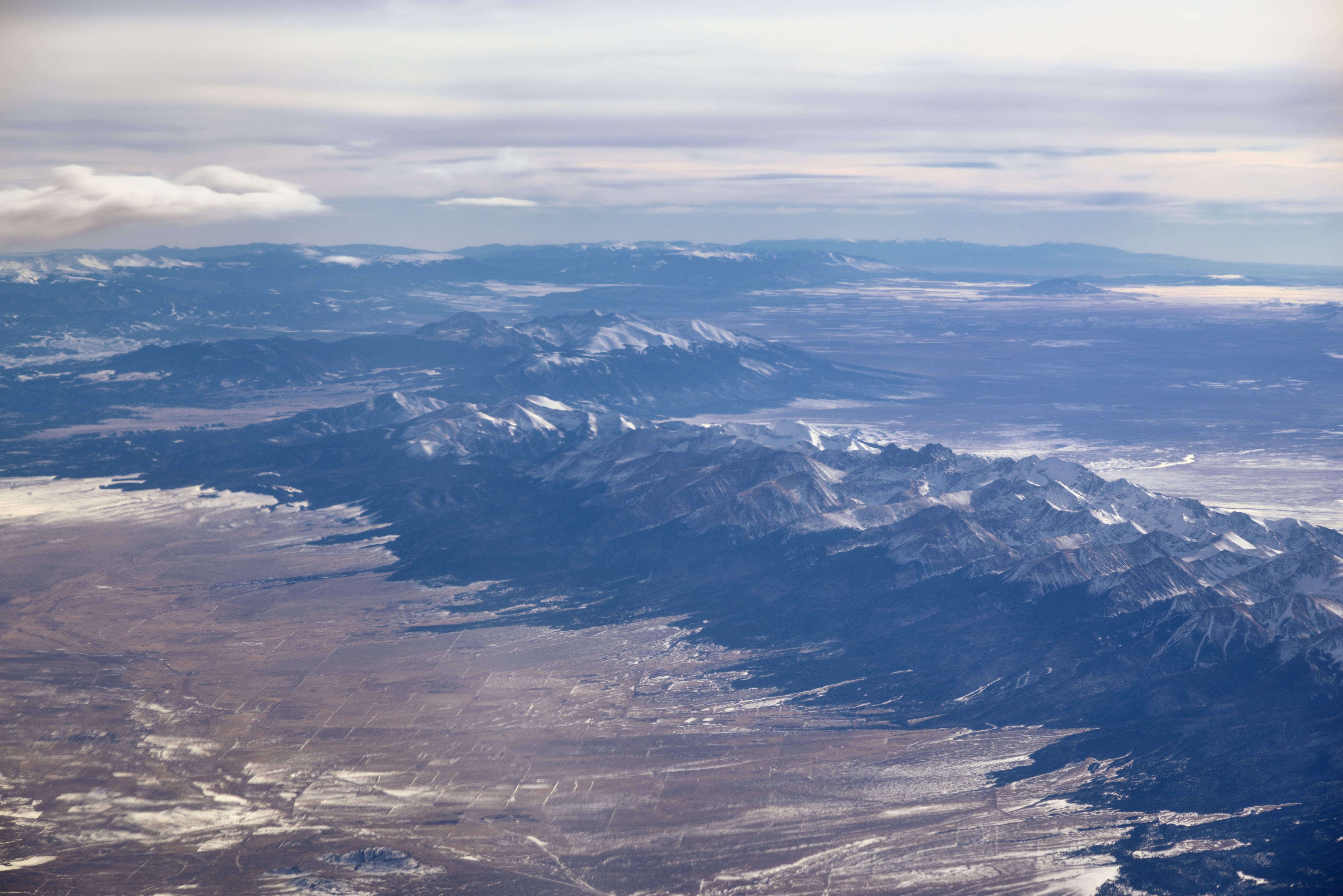
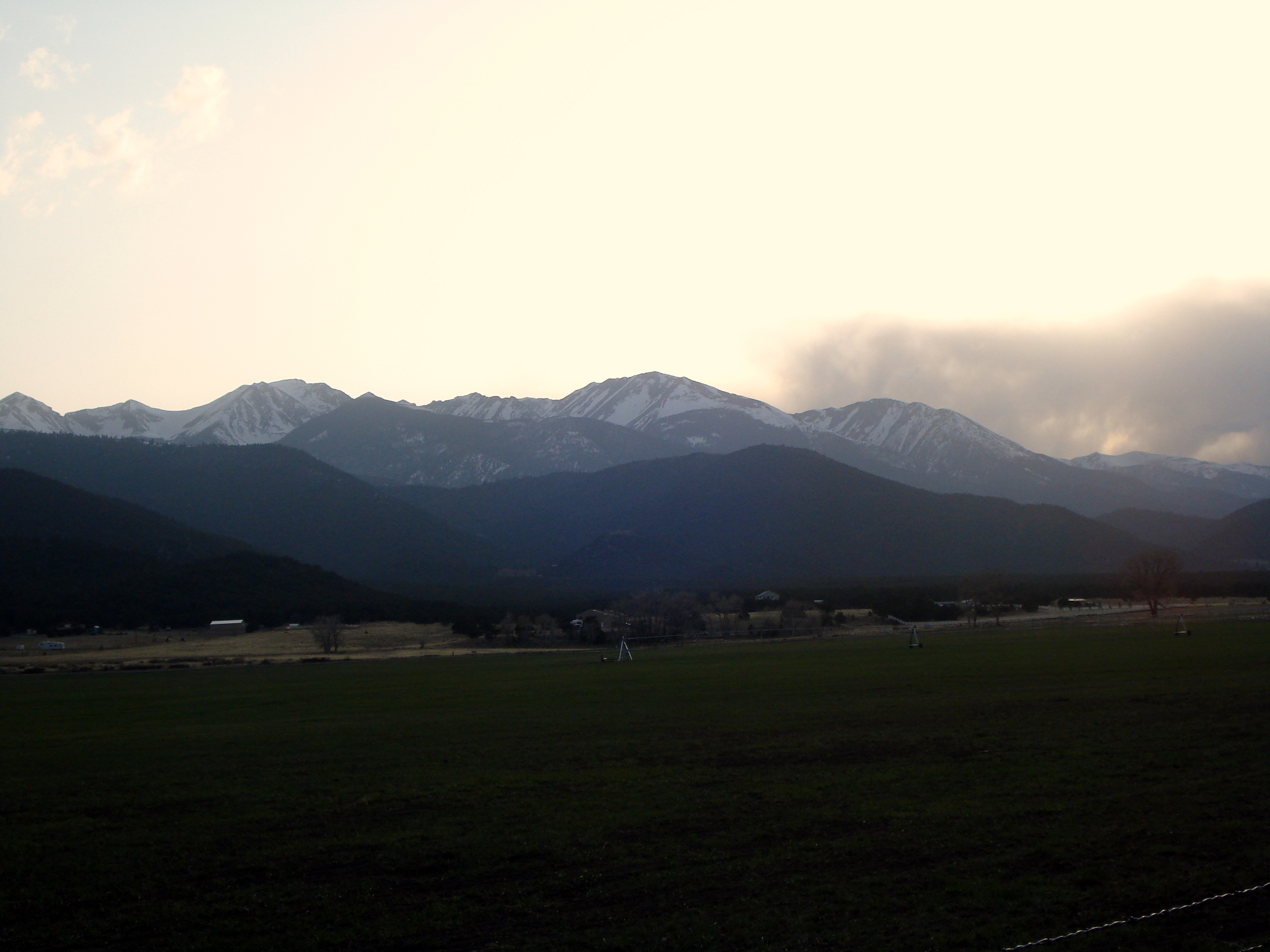
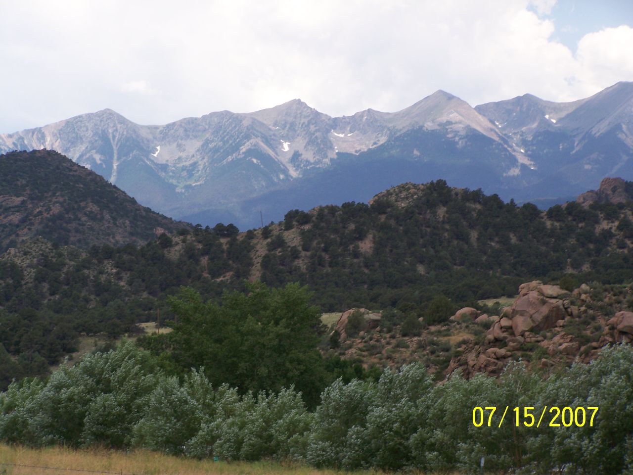
Sangre de Cristo Range and the Rocky Mountains

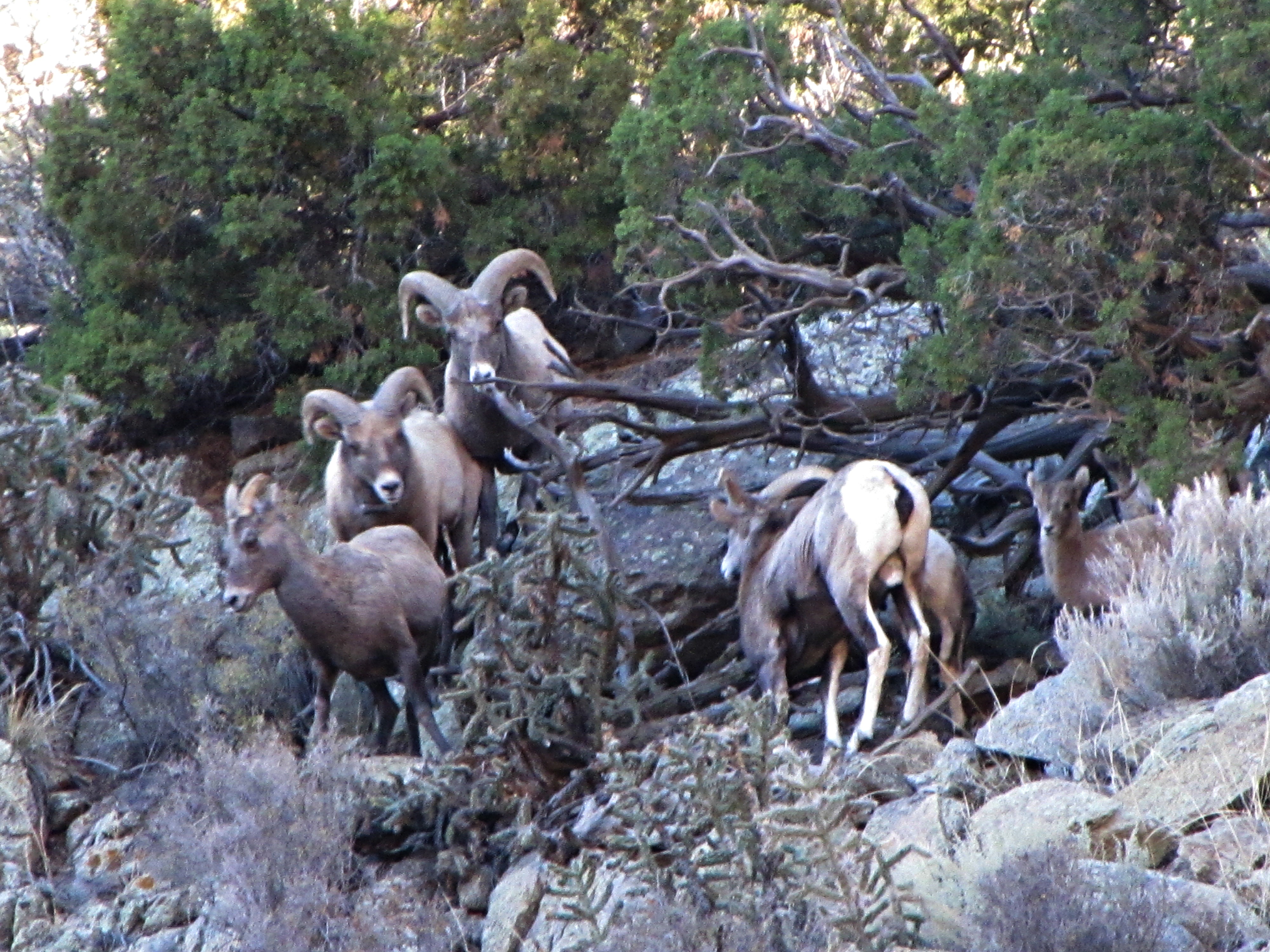
The Rut (1 of 6)
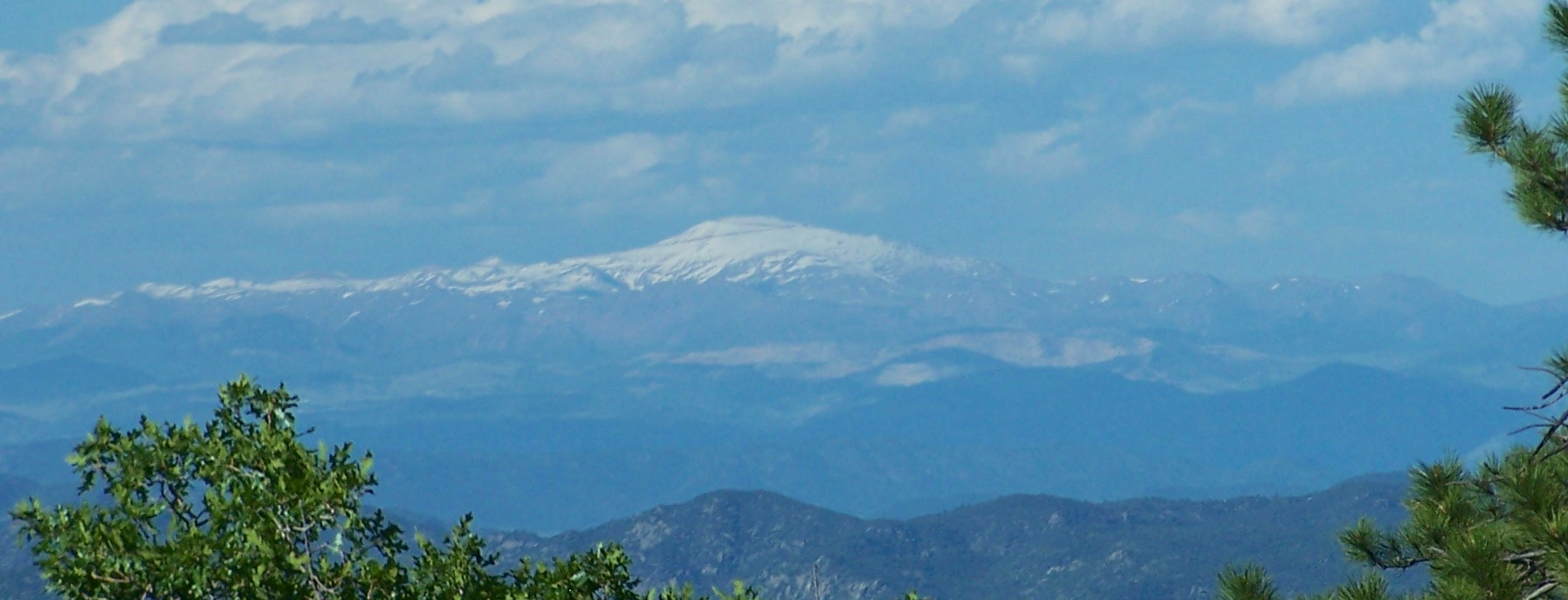
Pikes Peak viewed from southwest
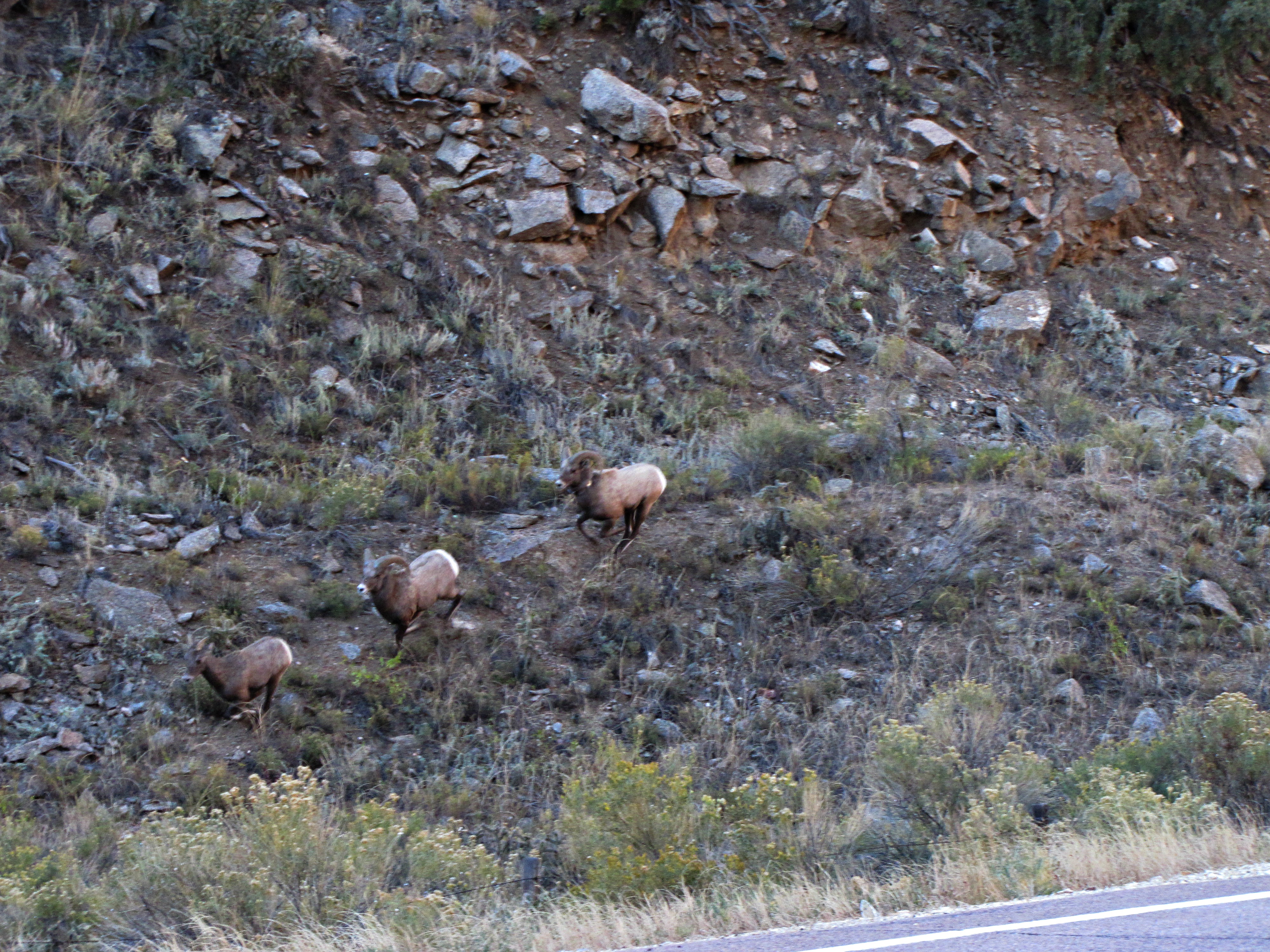
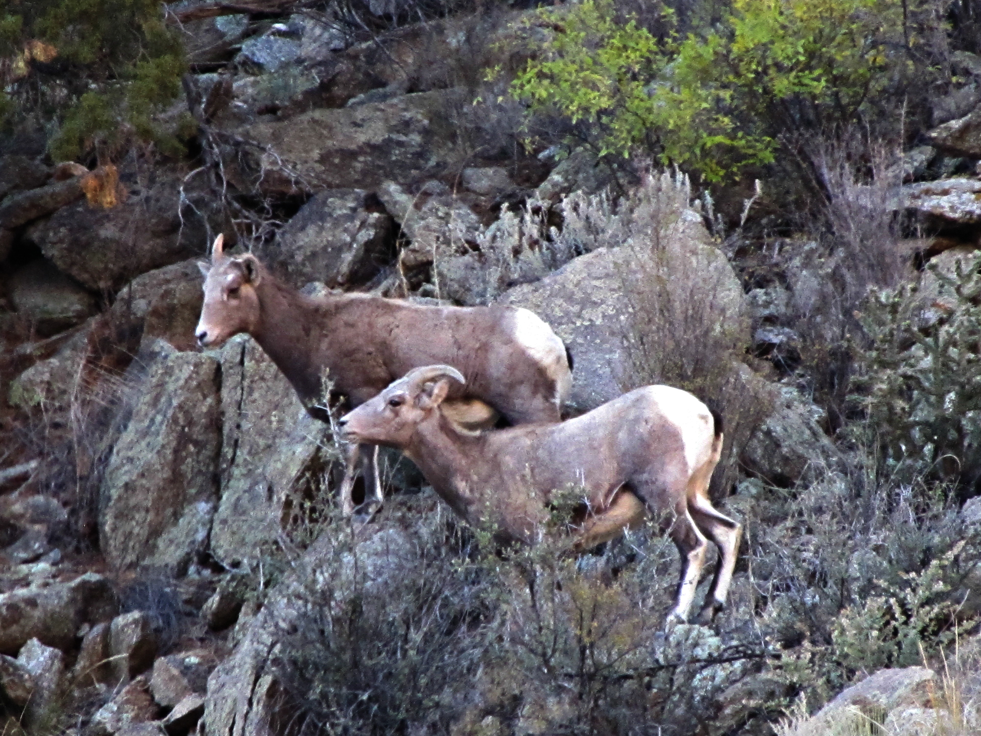
The rut (6 of 6)
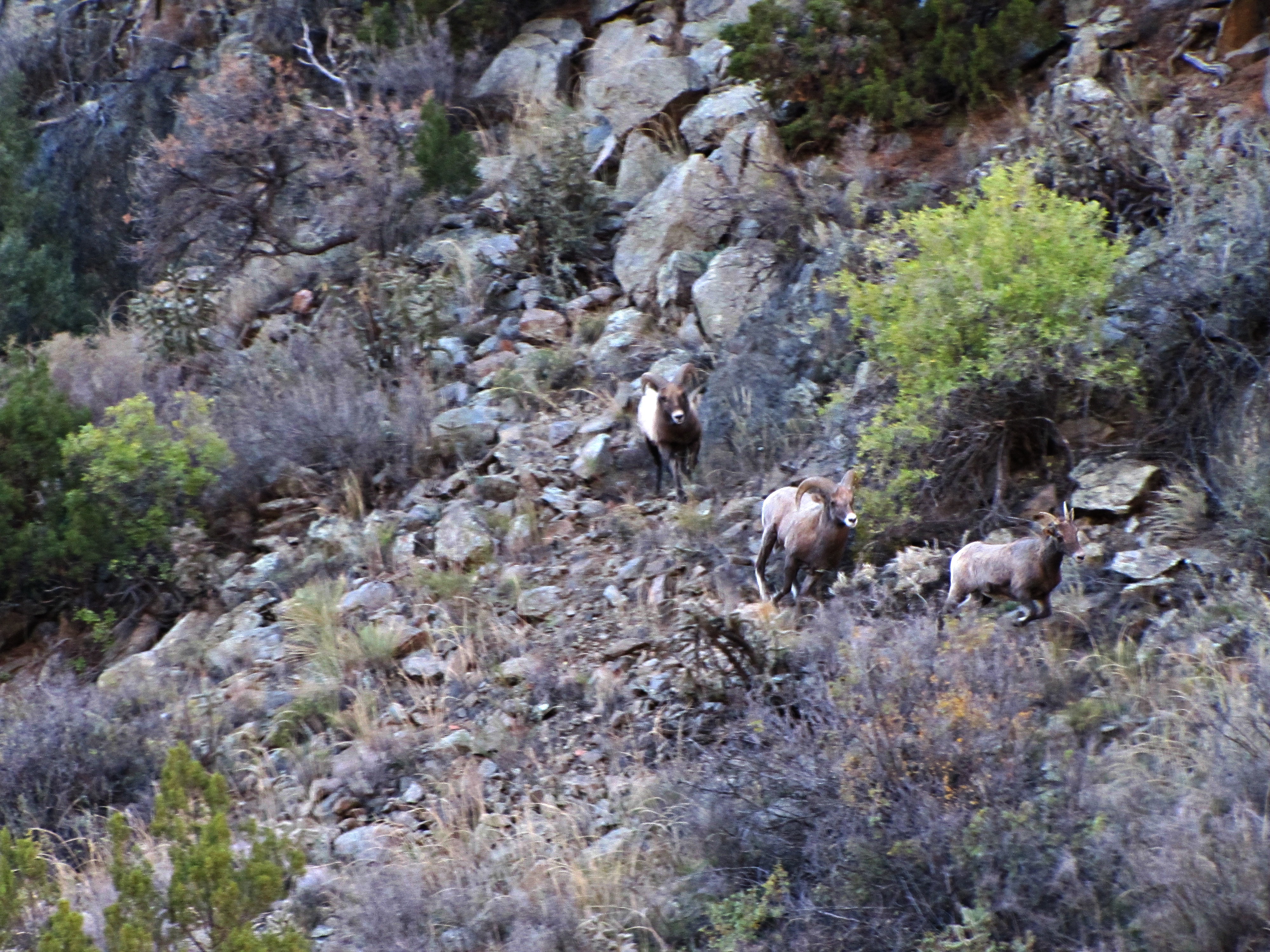
The rut (3 of 6)
The rut (5 of 6)
The rut (4 of 6)
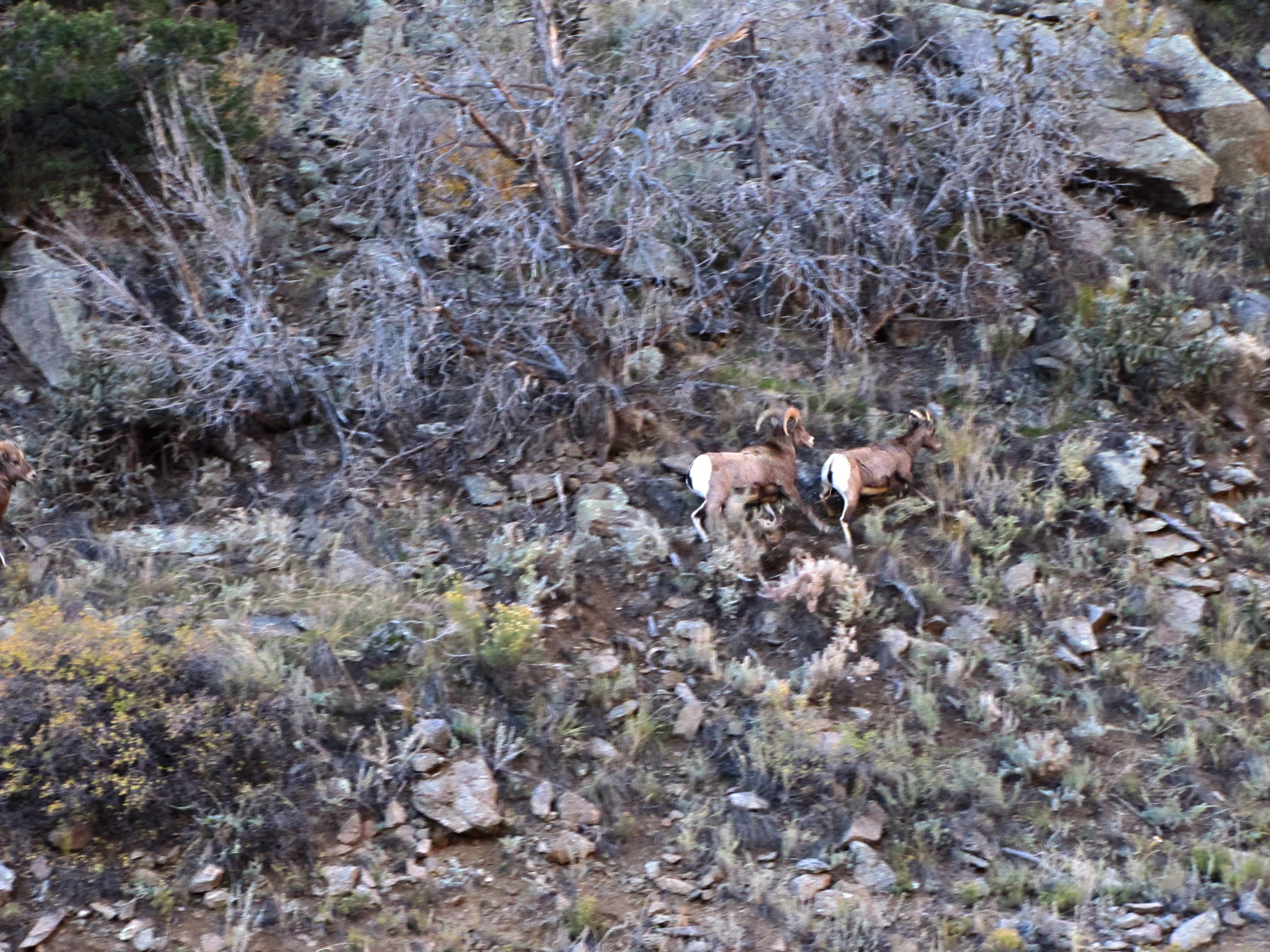
The rut (2 of 6)
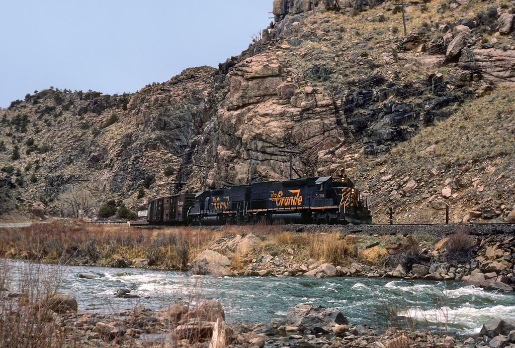
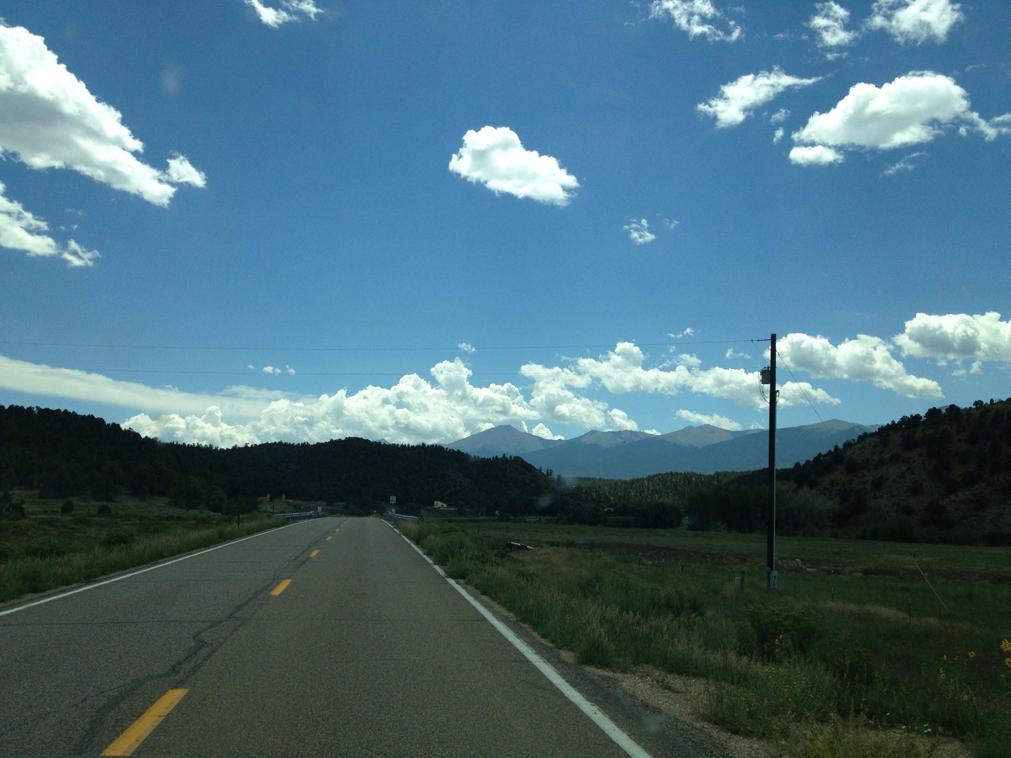
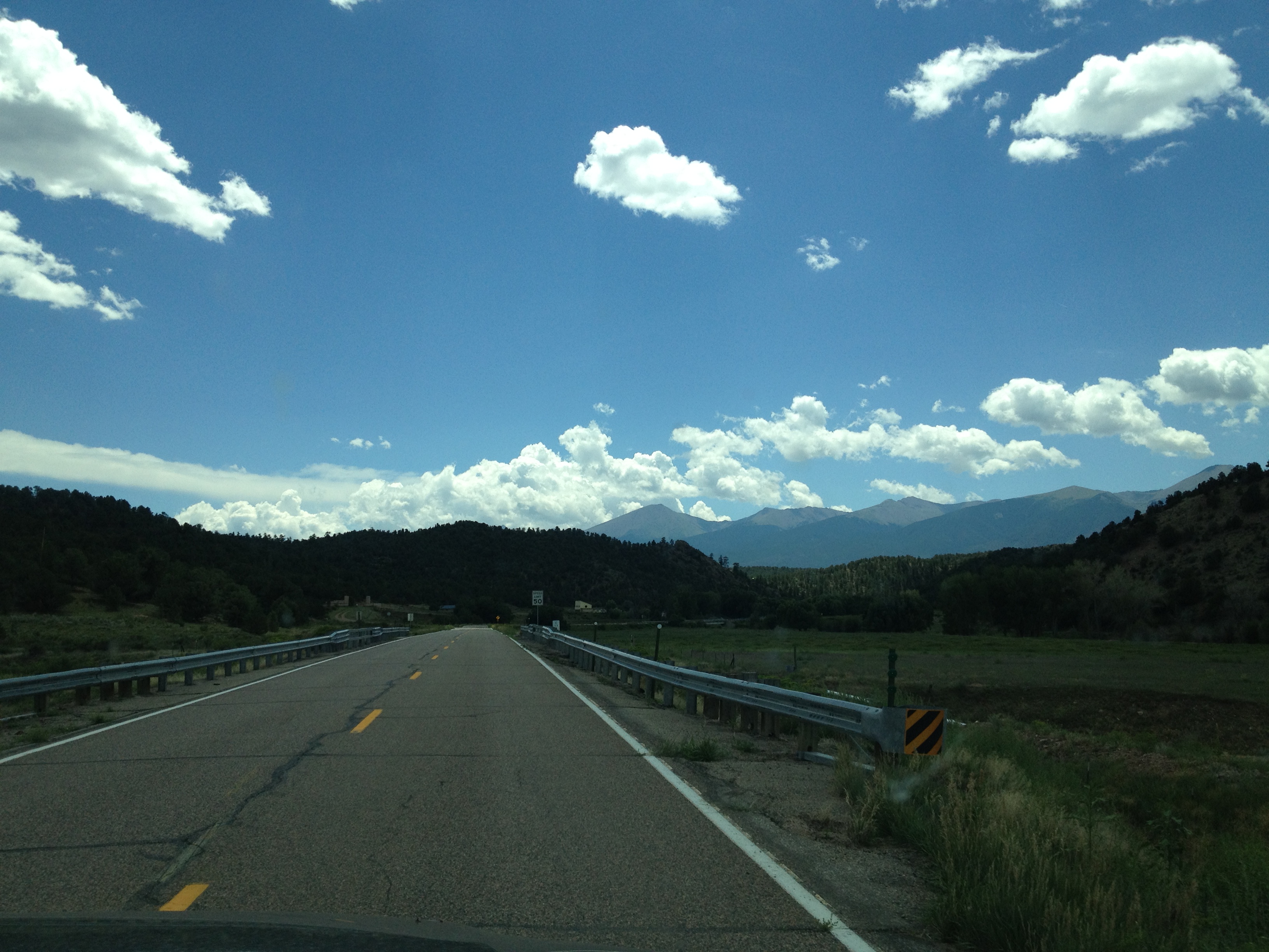
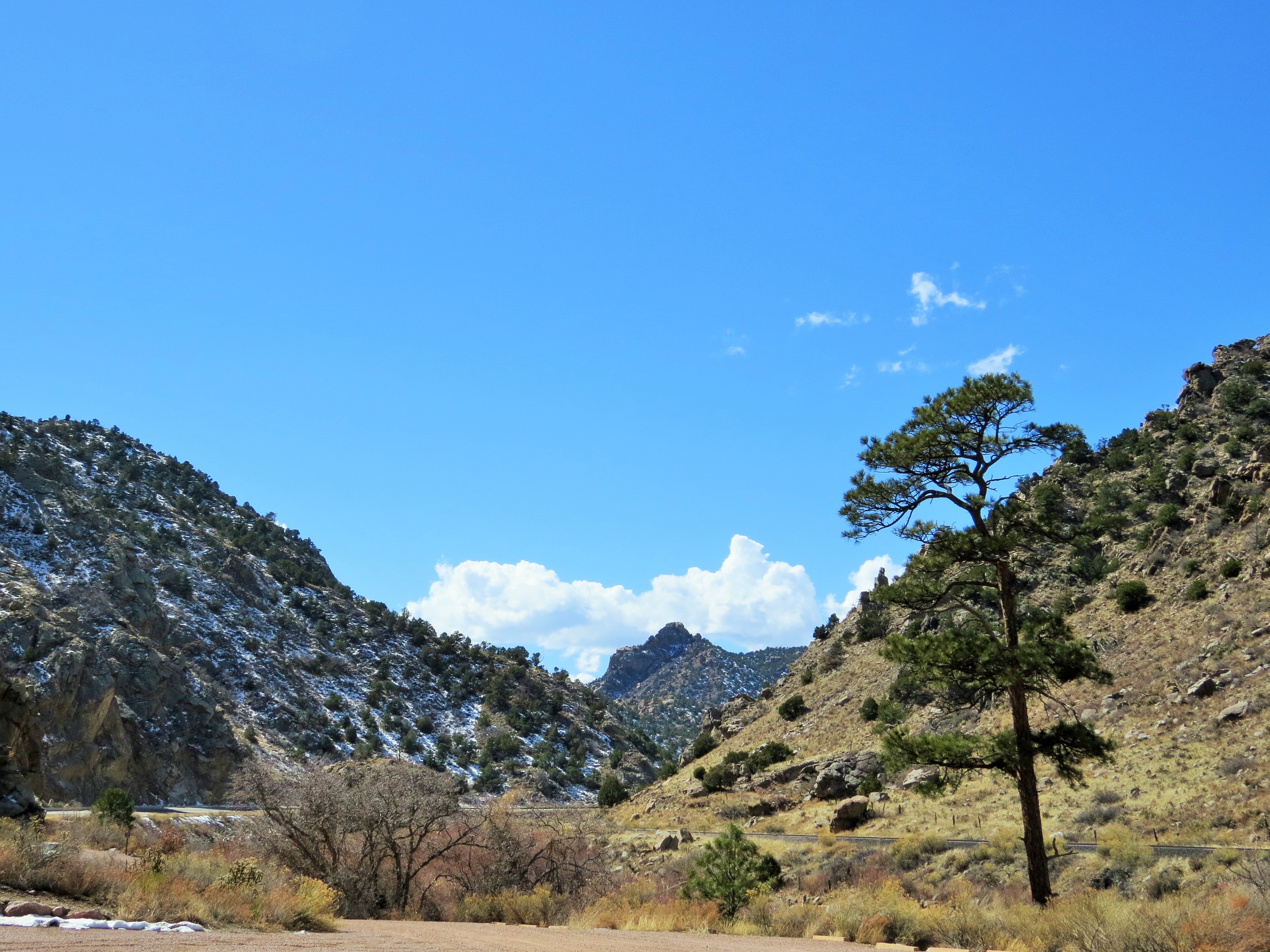
Cotopaxi bound
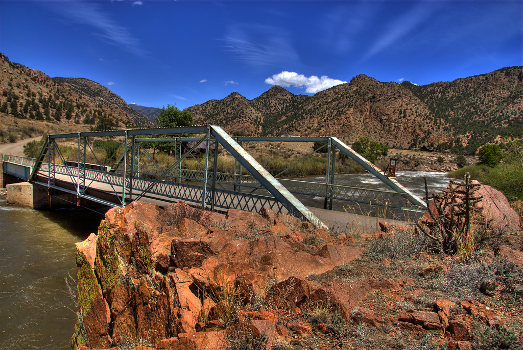
Texas Creek Bridge
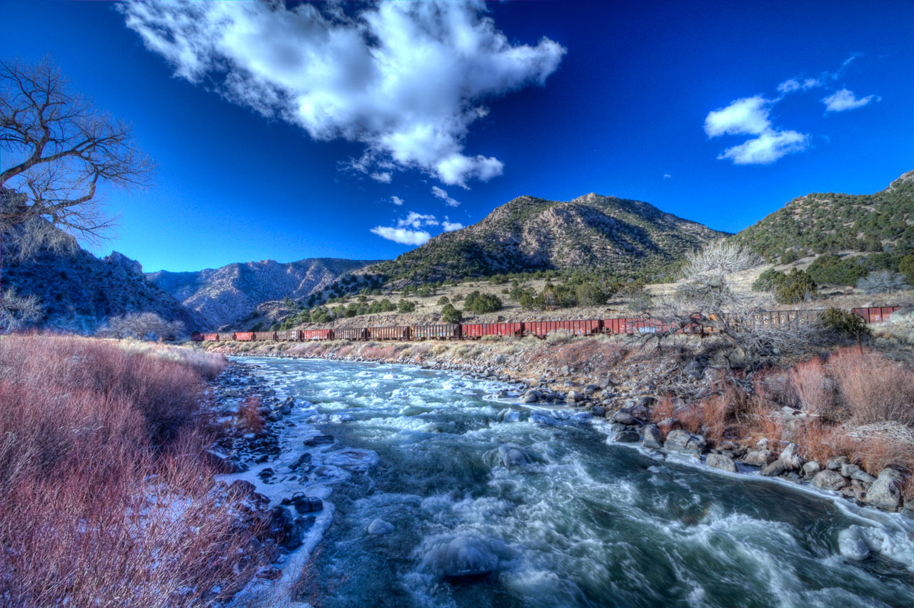
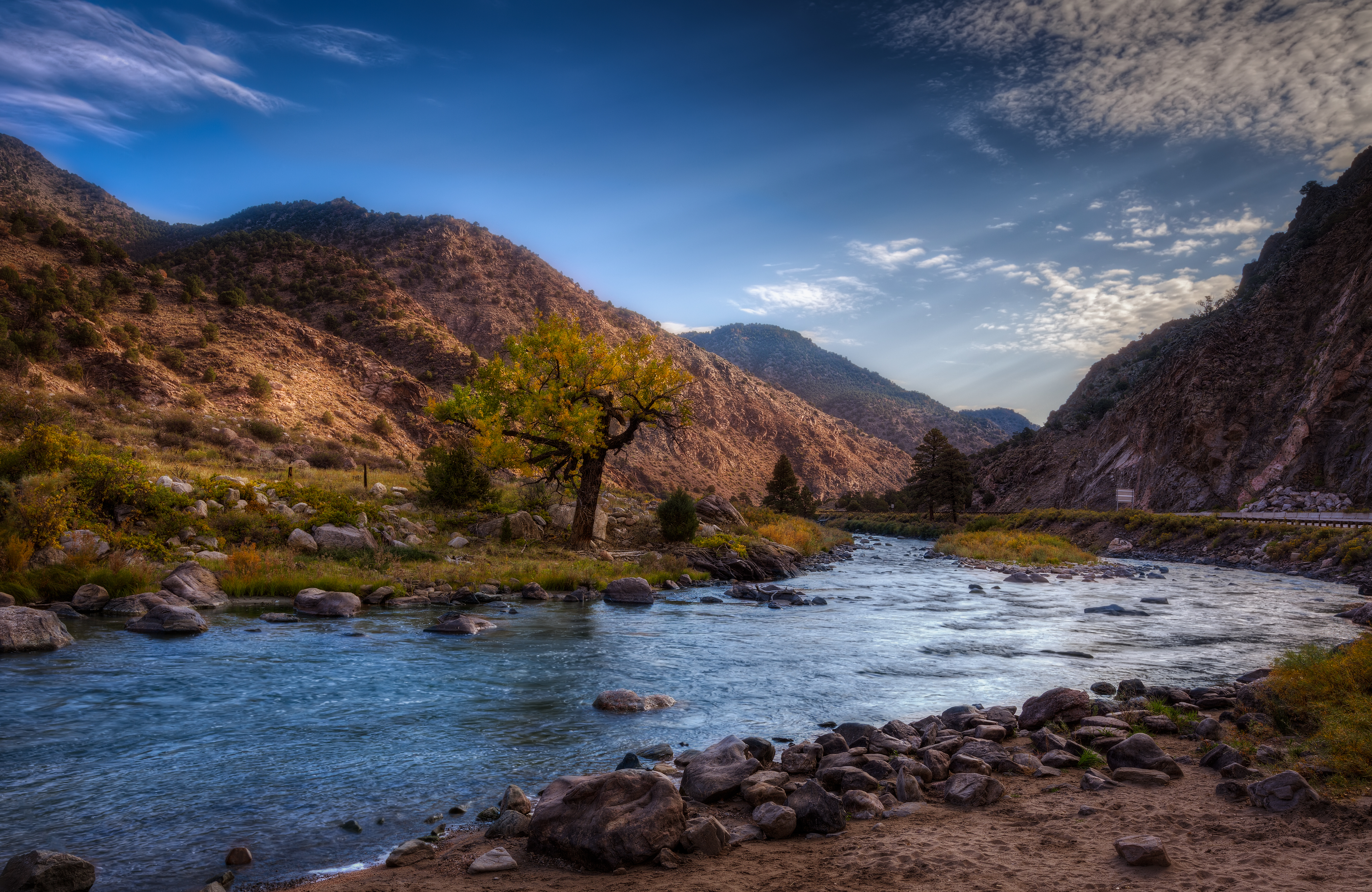
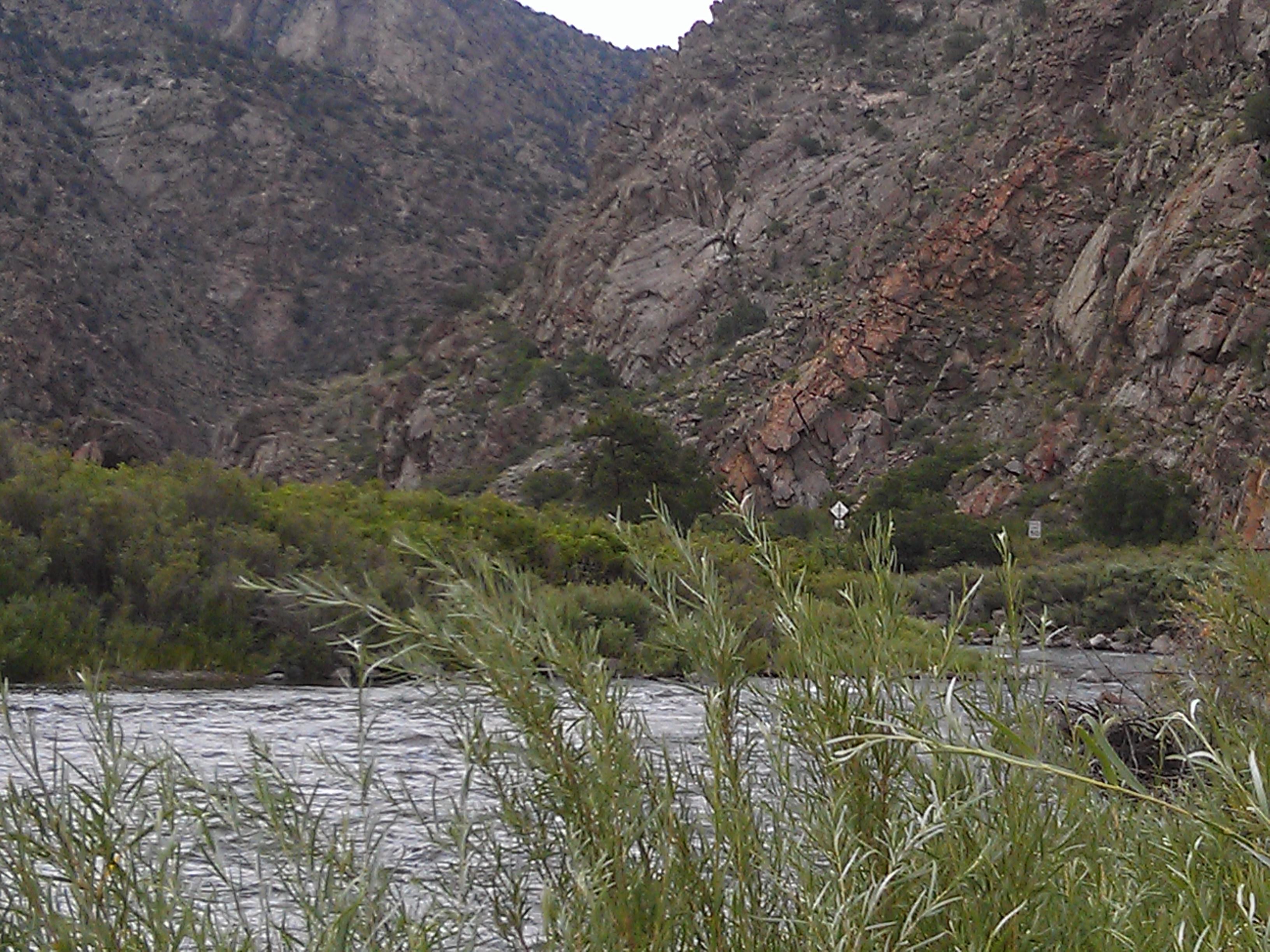
Arkansas River

Horses in Colorado

iphone pano
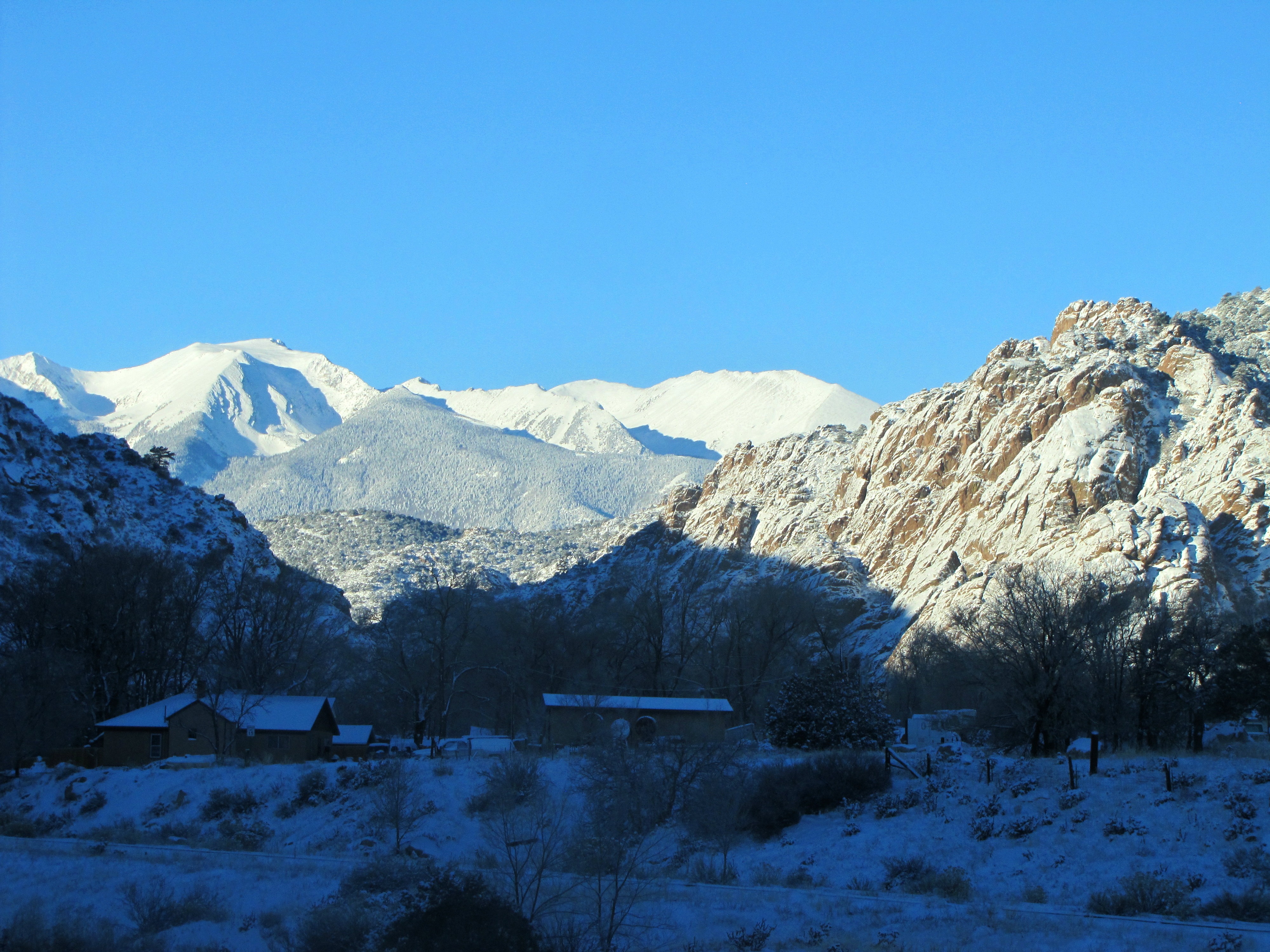
Early winter morning in Cotopaxi
2013-08-10 13.25.44
2013-08-10 13.25.47
Arkansas Banks

Blogging on the fly.
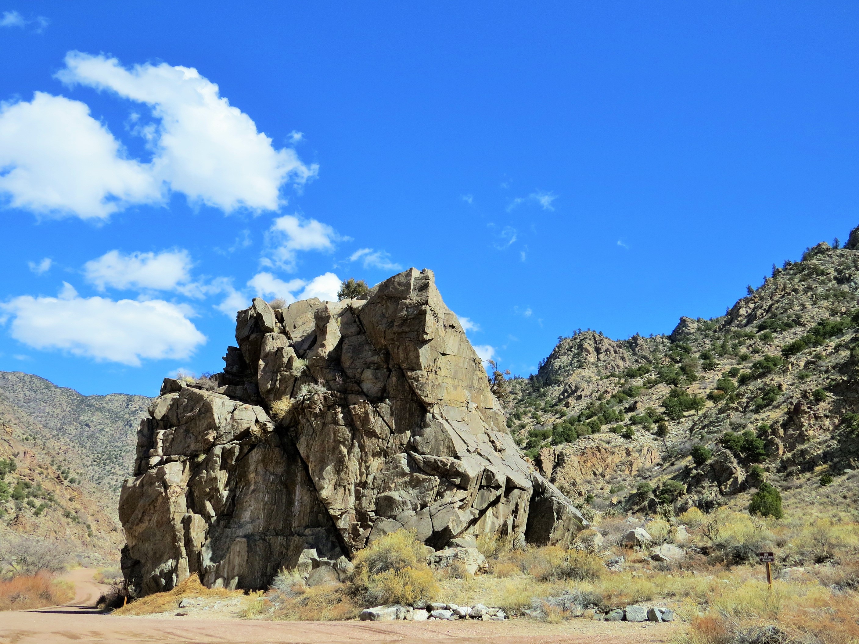
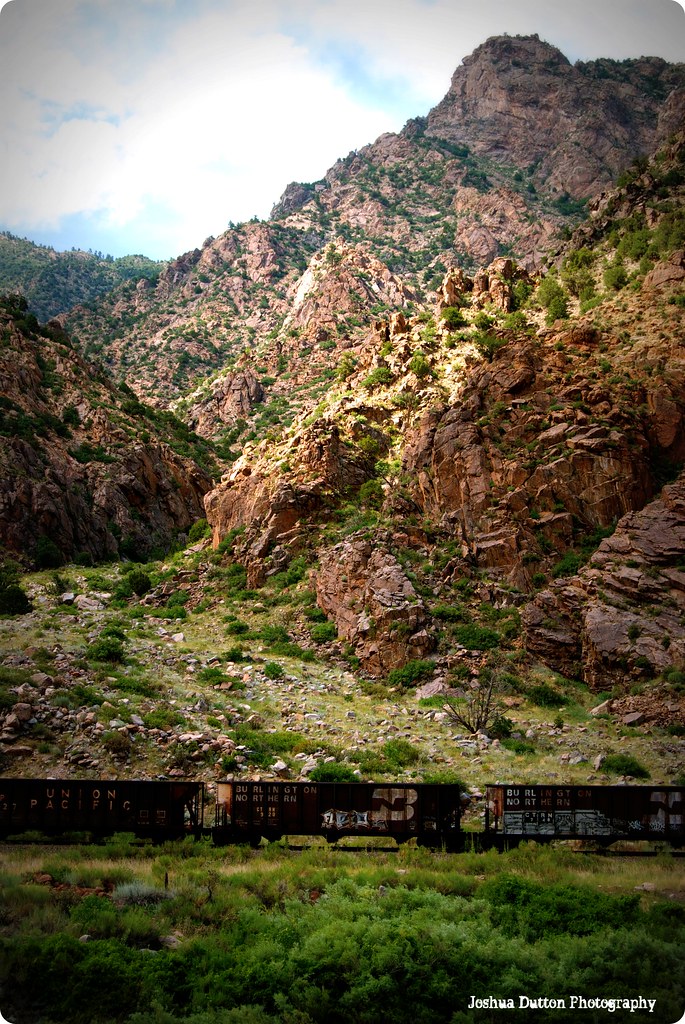
Pinnacle Rock
us_trip 067

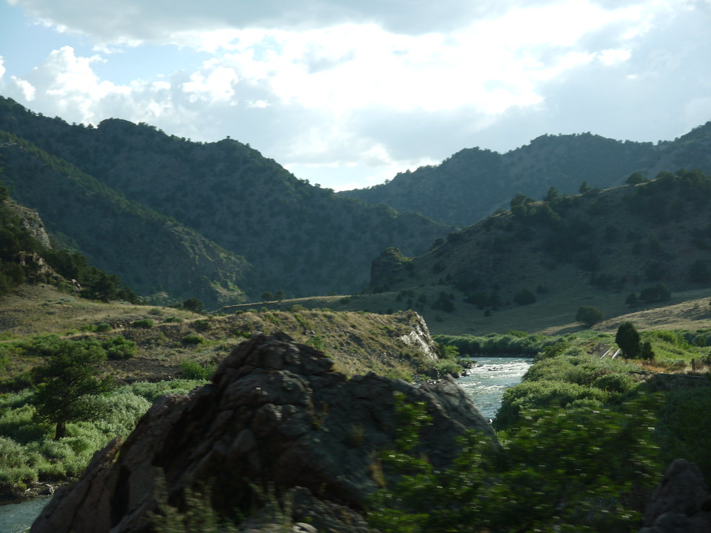
Mountain Railway in Colorado
Arkansas River- Fremont County CO (3)
P1010438.JPG

(2014-06-15) - 0228
Mountain Railway
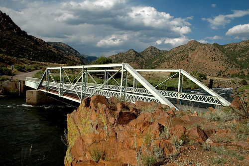
Texas Creek Bridge, Arkansas River, Colorado
Picture 012
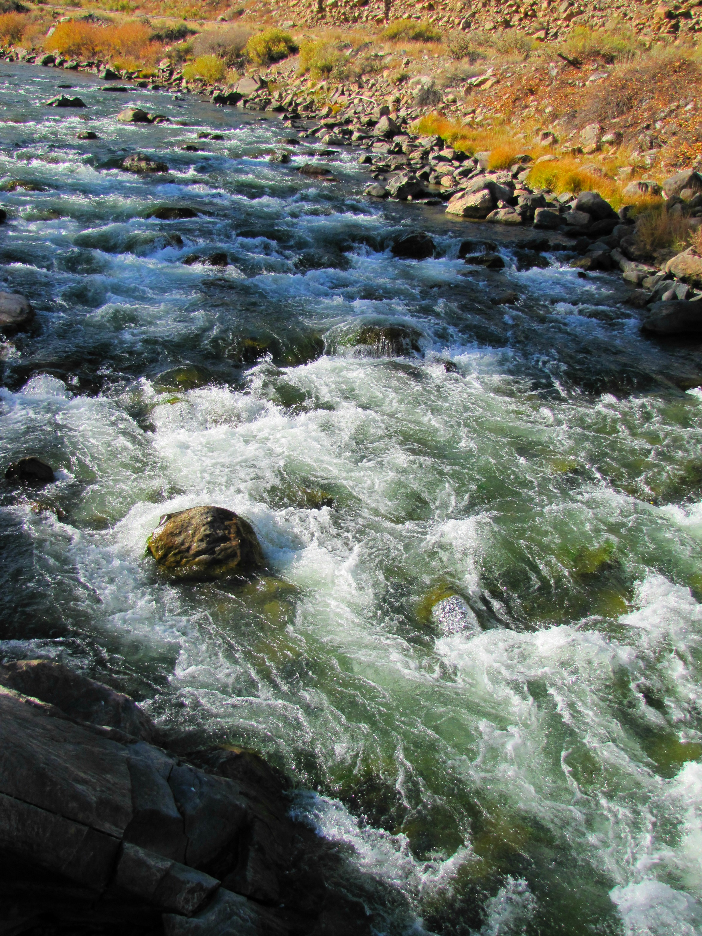
Arkansas River rapids (2of 3)
Powdered Sugar
Topographic Map of US-50, Cotopaxi, CO, USA
Find elevation by address:

Places near US-50, Cotopaxi, CO, USA:
25580 Us-50
419 Shannon Rd
493 Shannon Rd
24634 Us-50
767 Shannon Rd
Texas Creek
145 County Rd 51
Cotopaxi
Cotopaxi Store
Bull Ridge
568 Big Bow Dr
1420 Coyote Run
512 Big Bow Dr
603 Big Bow Dr
3018 Co Rd 28
179 Half Mound Cir
3283 Co Rd 28
3283 Co Rd 28
1544 Pronghorn Path
145 Last Chance Way
Recent Searches:
- Elevation of W Granada St, Tampa, FL, USA
- Elevation of Pykes Down, Ivybridge PL21 0BY, UK
- Elevation of Jalan Senandin, Lutong, Miri, Sarawak, Malaysia
- Elevation of Bilohirs'k
- Elevation of 30 Oak Lawn Dr, Barkhamsted, CT, USA
- Elevation of Luther Road, Luther Rd, Auburn, CA, USA
- Elevation of Unnamed Road, Respublika Severnaya Osetiya — Alaniya, Russia
- Elevation of Verkhny Fiagdon, North Ossetia–Alania Republic, Russia
- Elevation of F. Viola Hiway, San Rafael, Bulacan, Philippines
- Elevation of Herbage Dr, Gulfport, MS, USA