Elevation of Texas Creek, CO, USA
Location: United States > Colorado > Fremont County >
Longitude: -105.58382
Latitude: 38.4099406
Elevation: 1884m / 6181feet
Barometric Pressure: 81KPa
Elevation Map:
Satellite Map:
Related Photos:

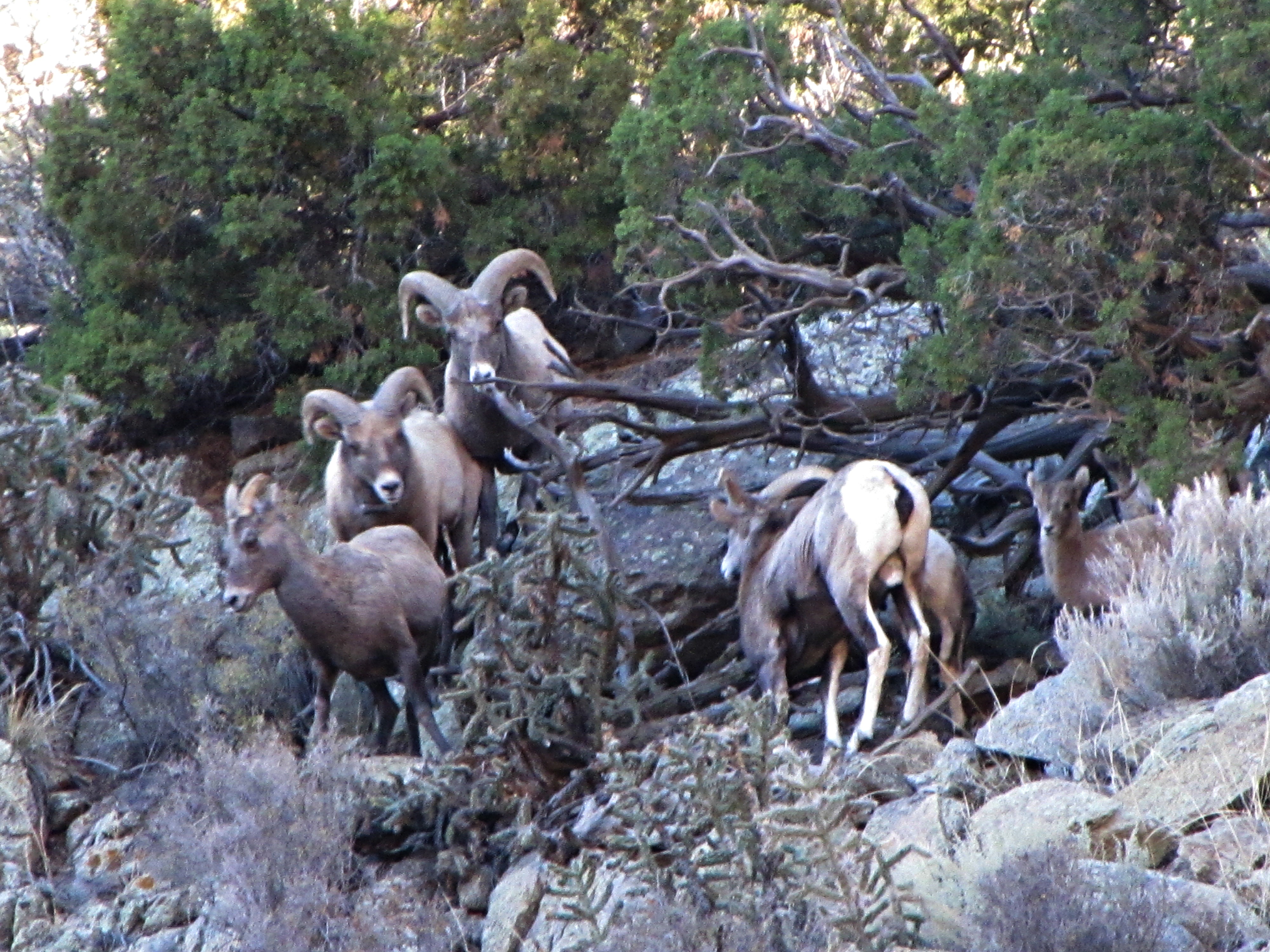
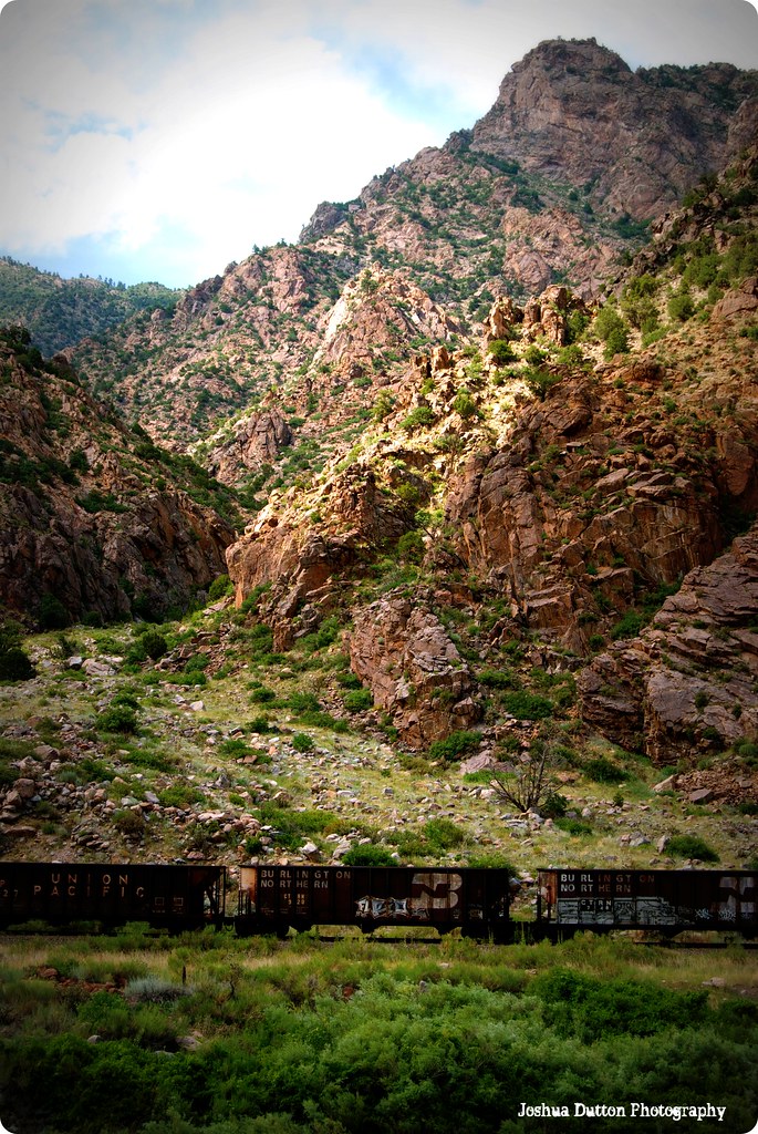
The Rut (1 of 6)
The rut (3 of 6)
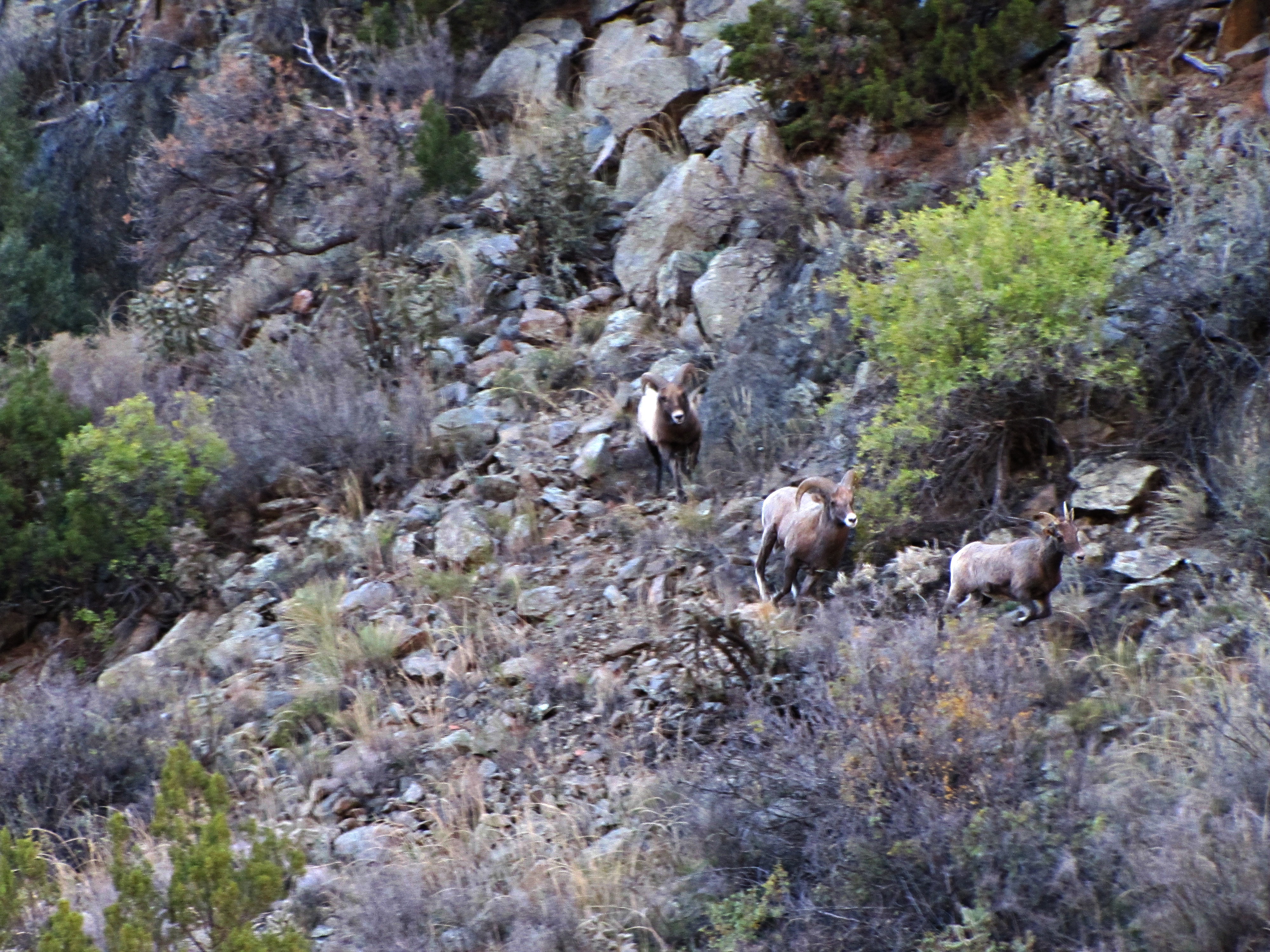
The rut (5 of 6)
The rut (4 of 6)
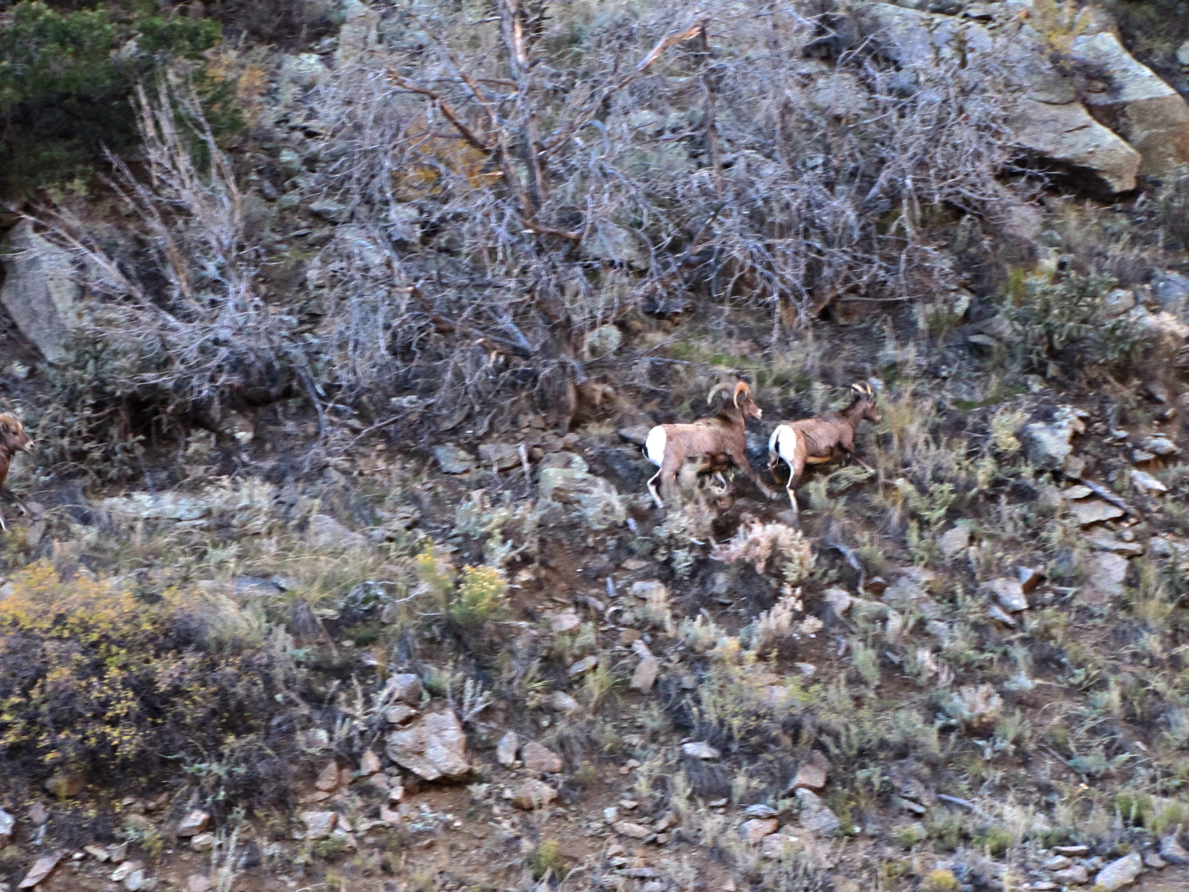
The rut (2 of 6)
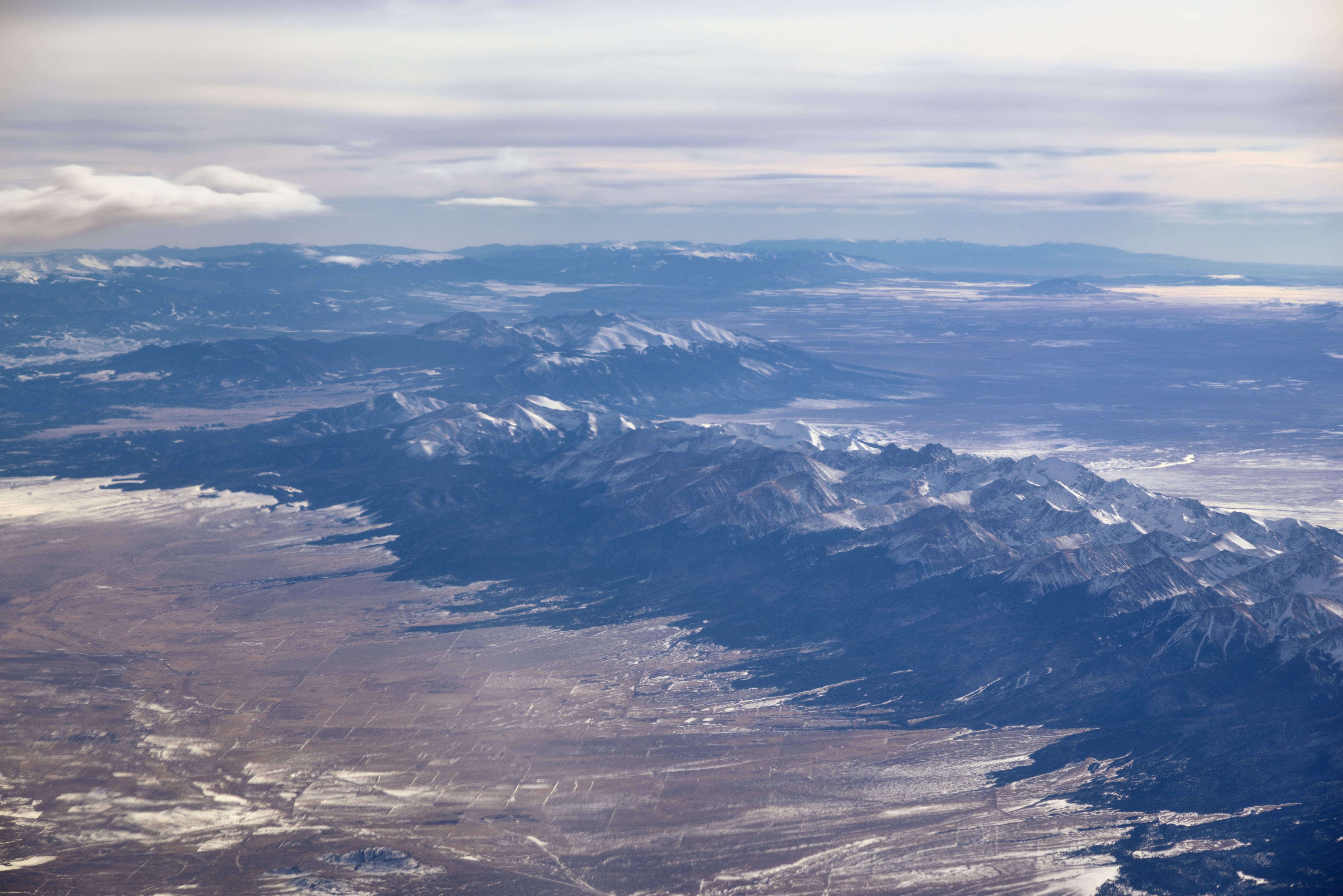
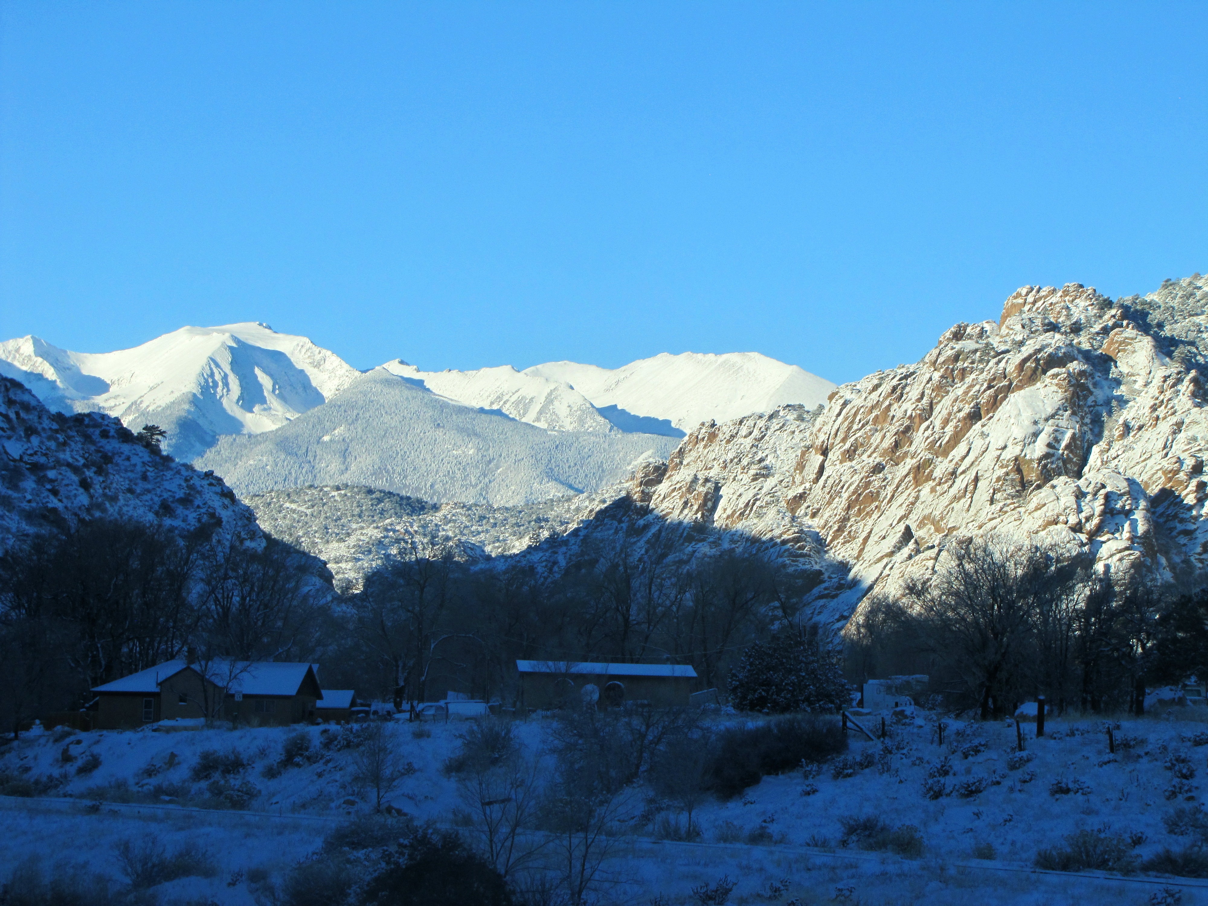
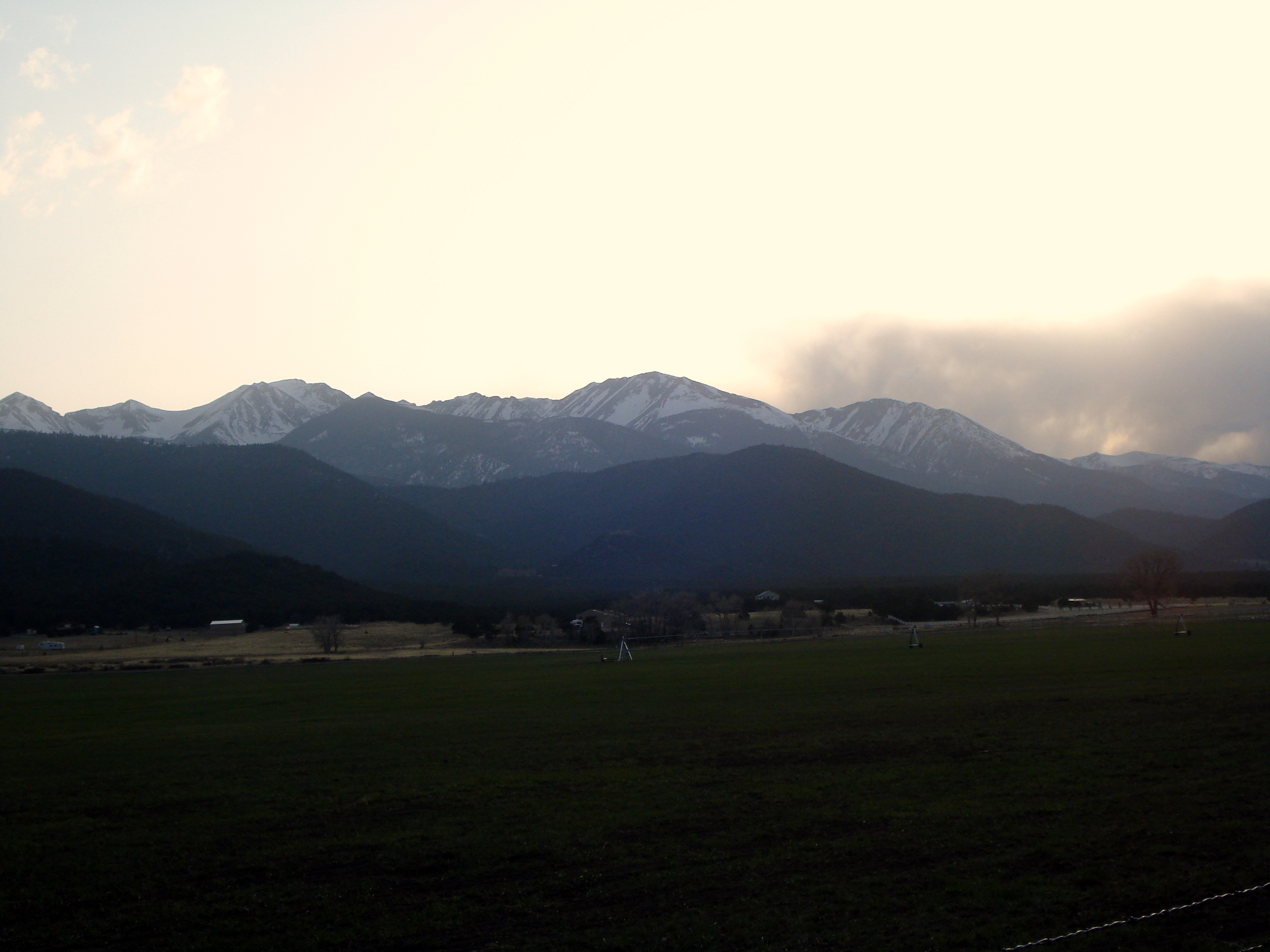
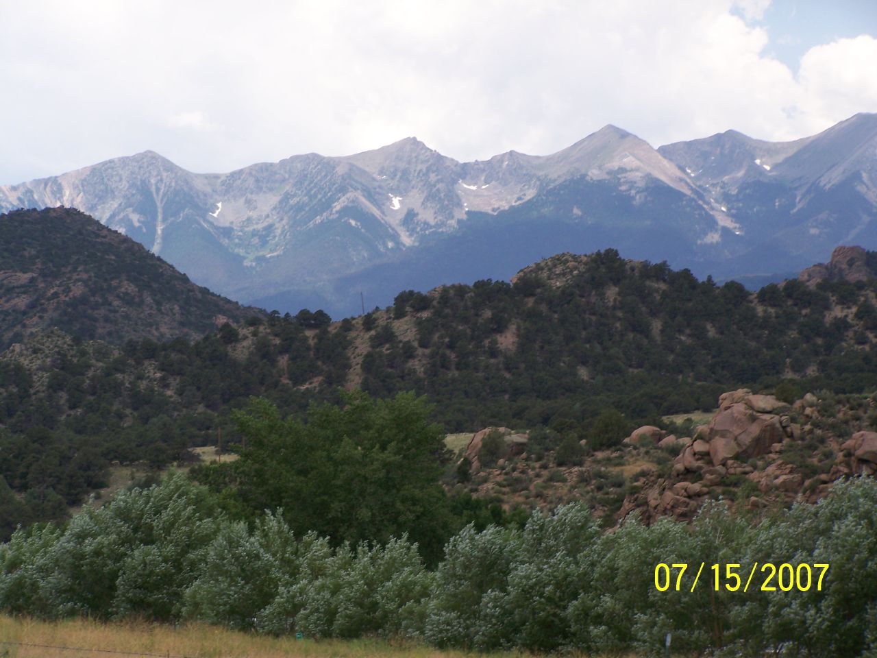
Sangre de Cristo Range and the Rocky Mountains
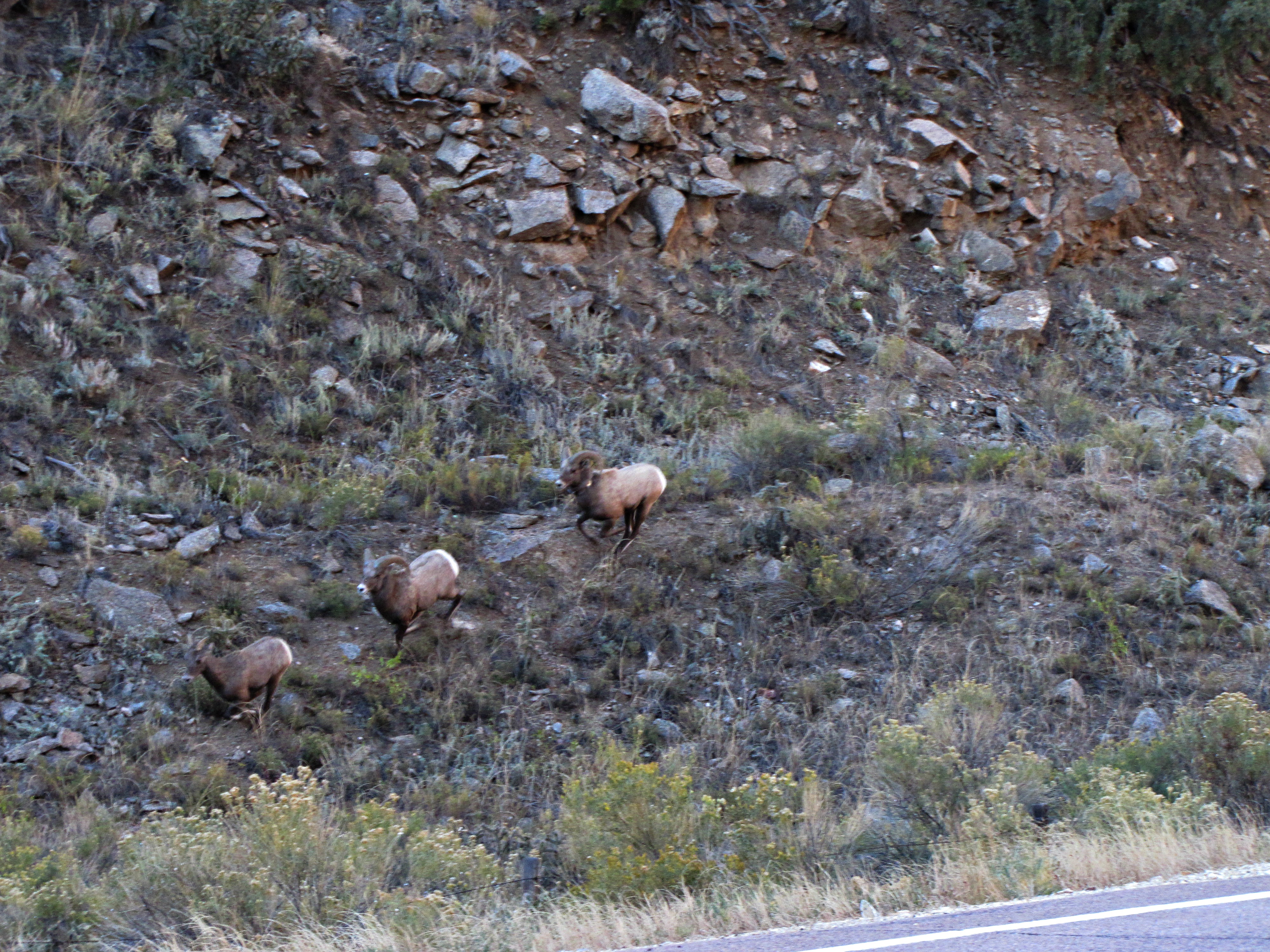
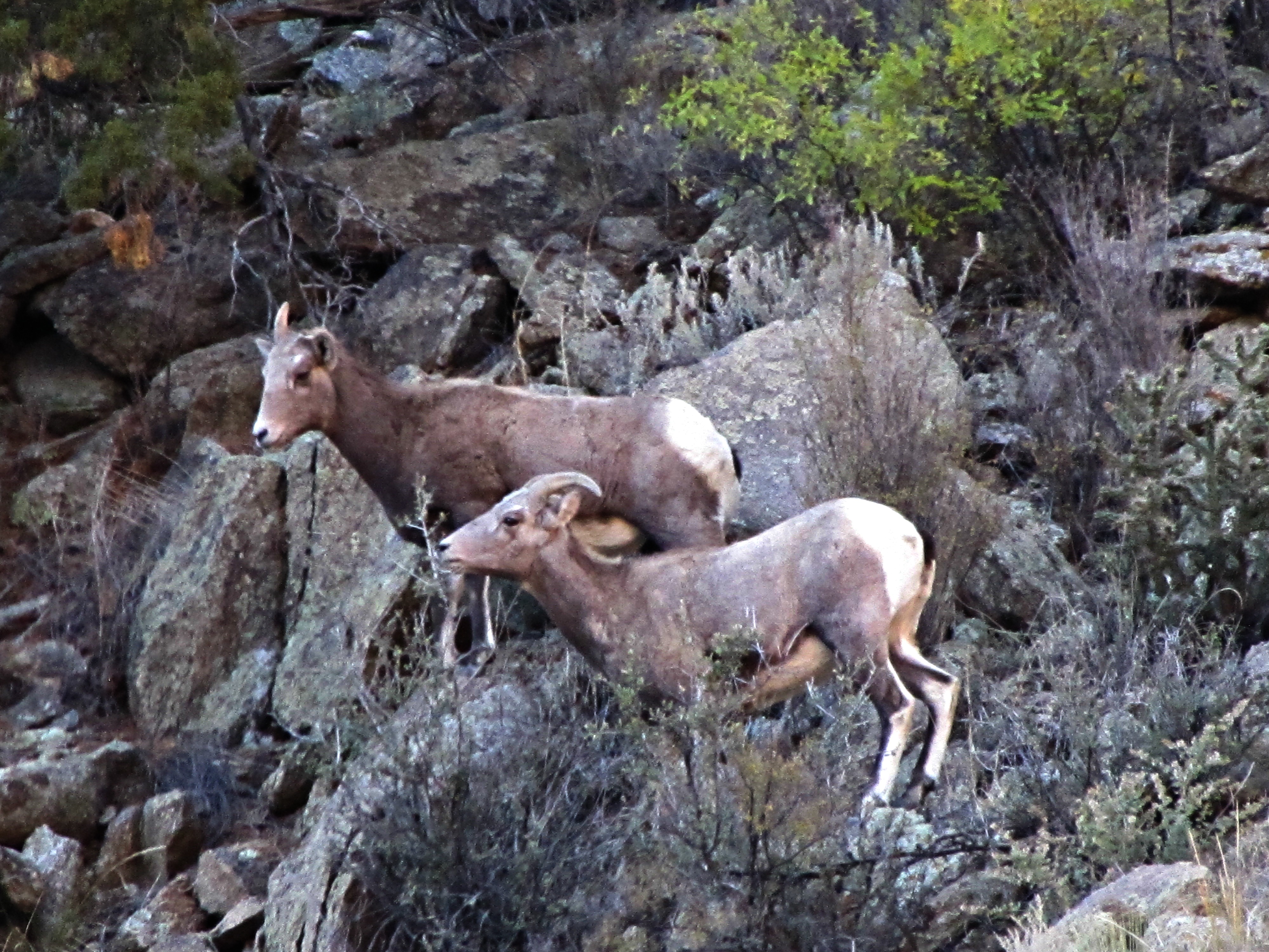
The rut (6 of 6)
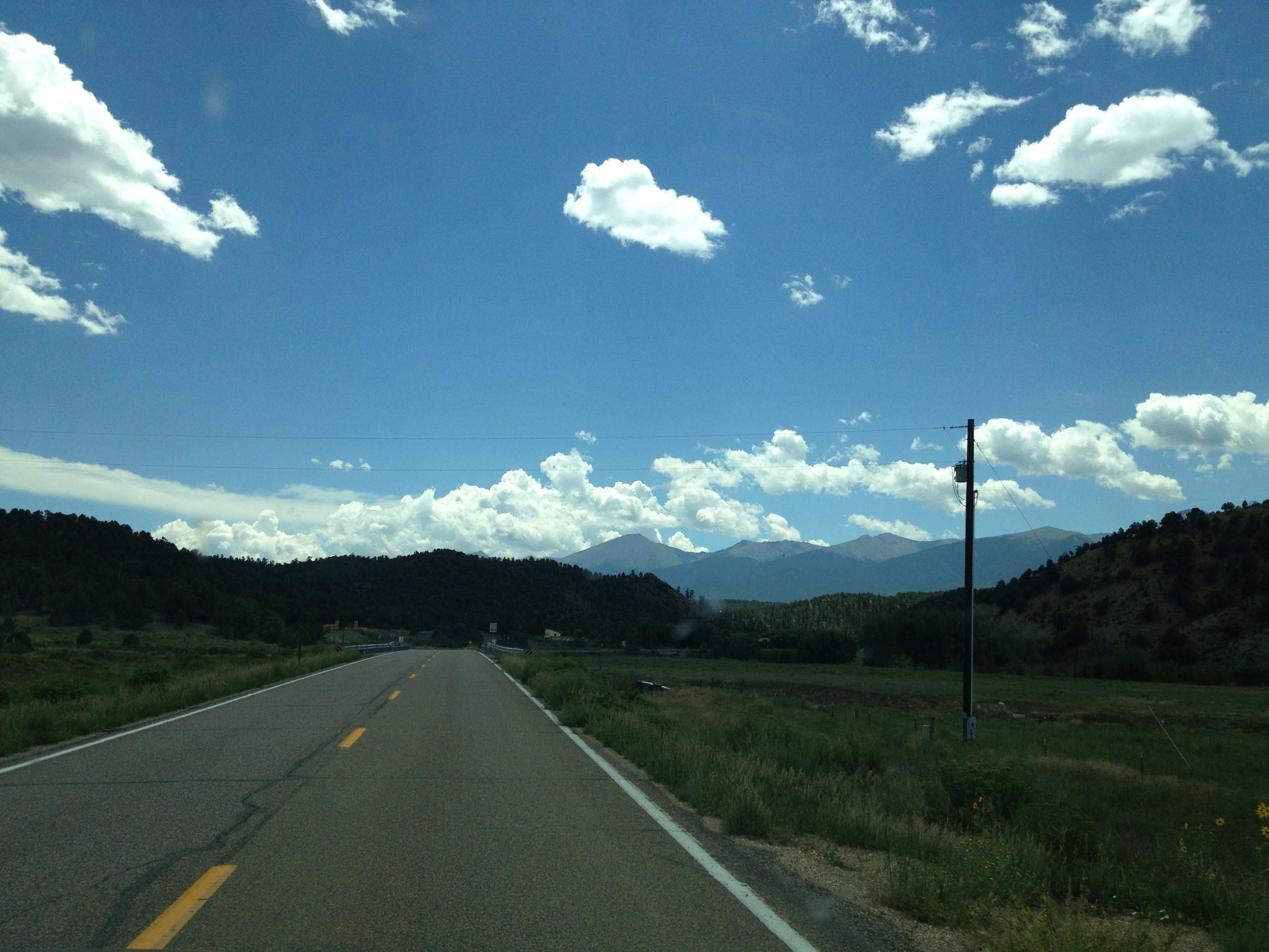
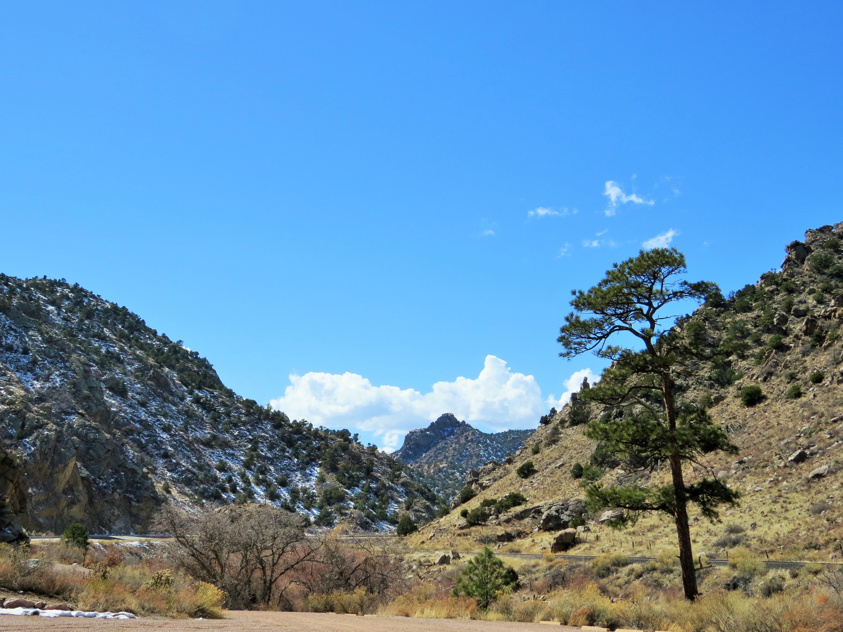
Cotopaxi bound
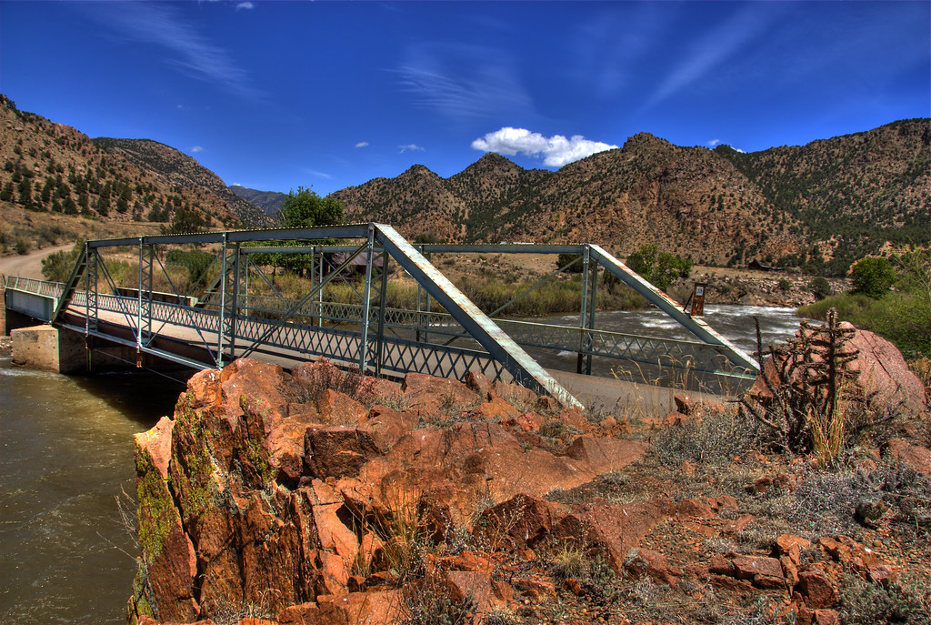
Texas Creek Bridge
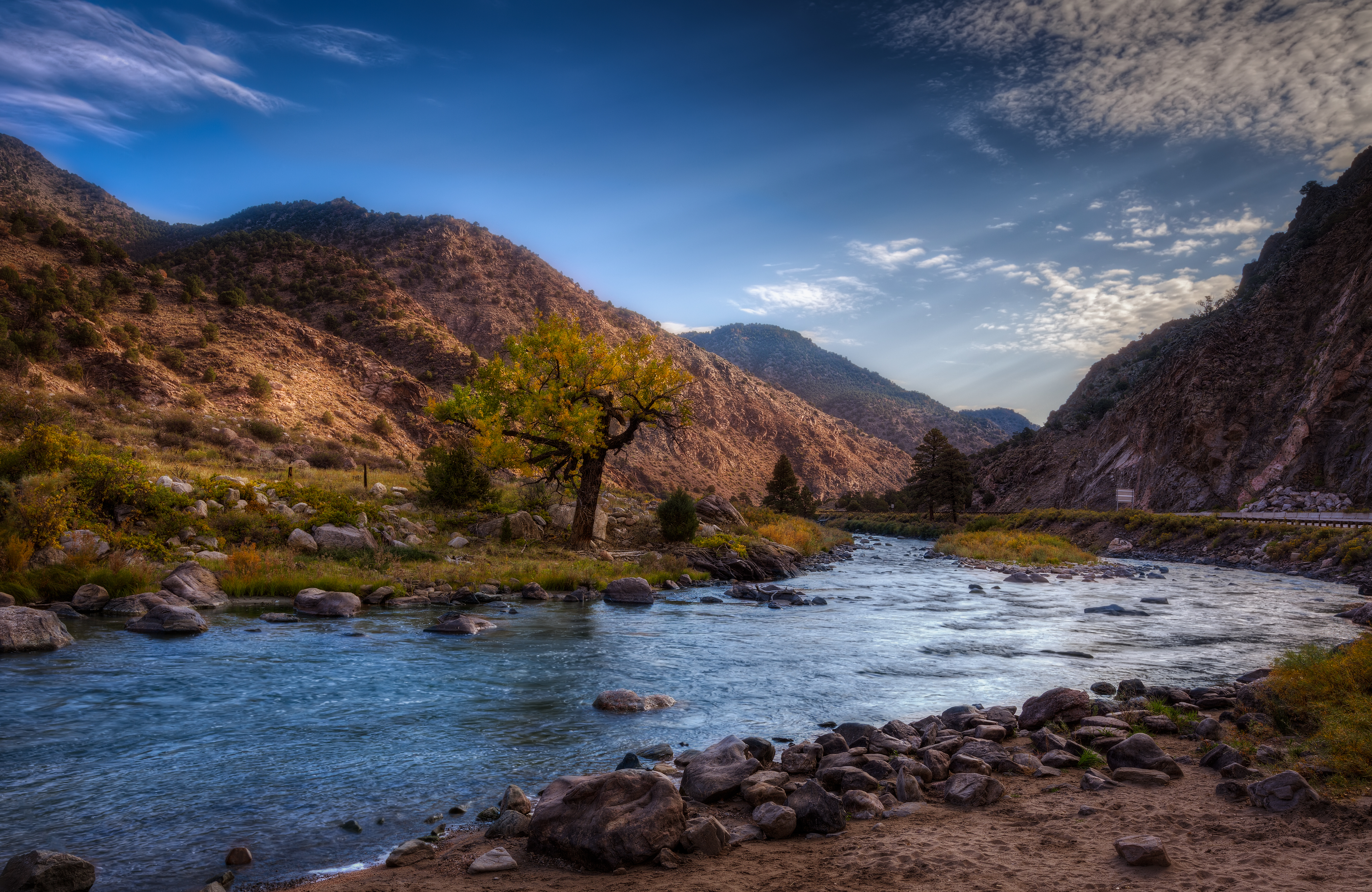
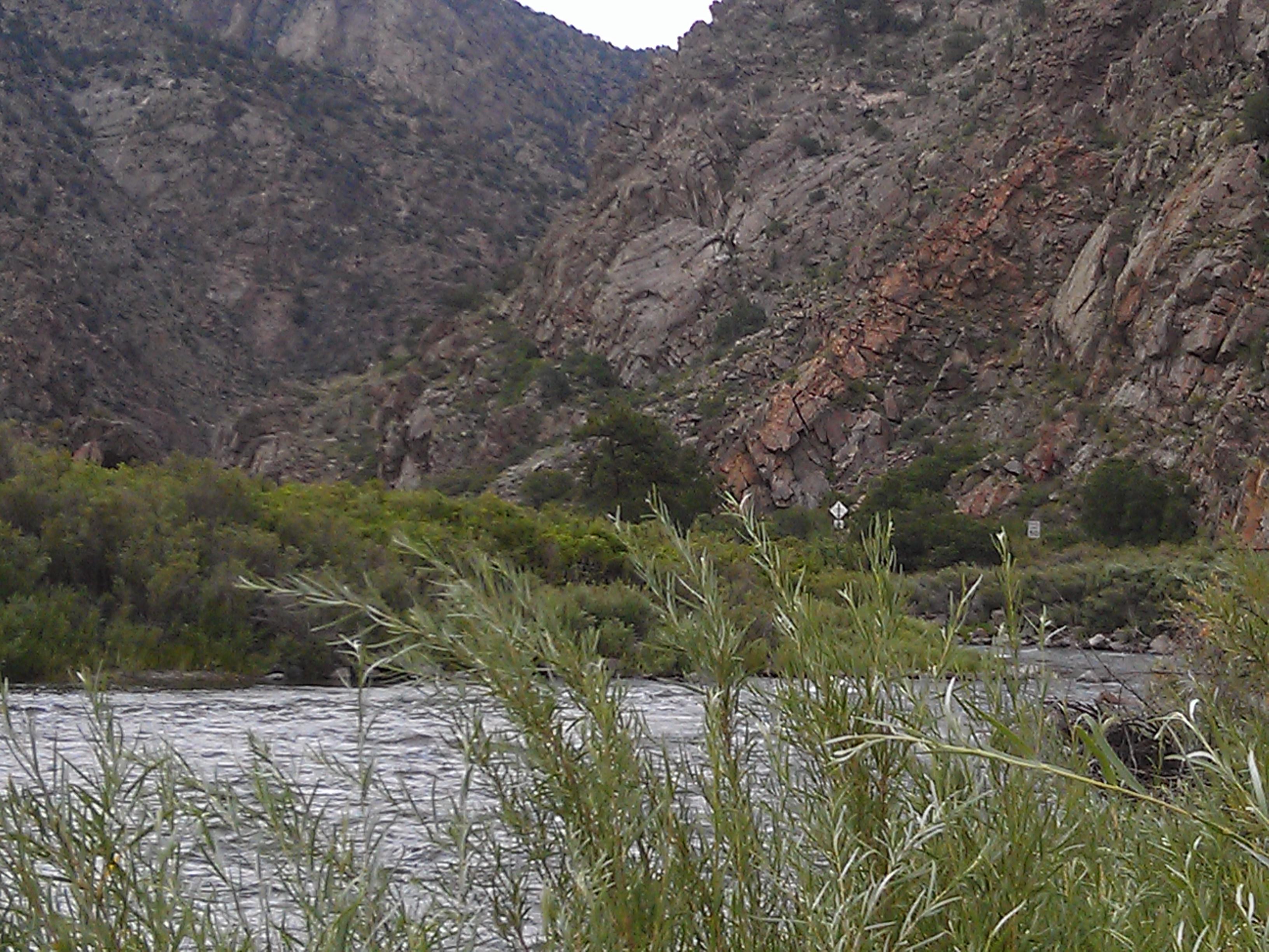
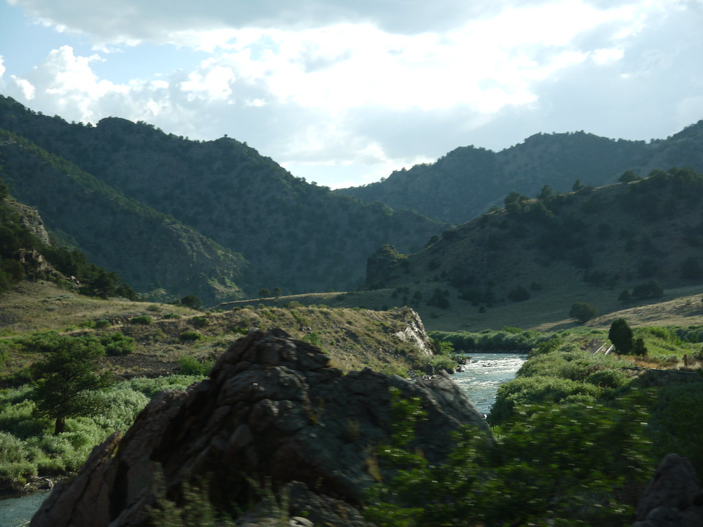
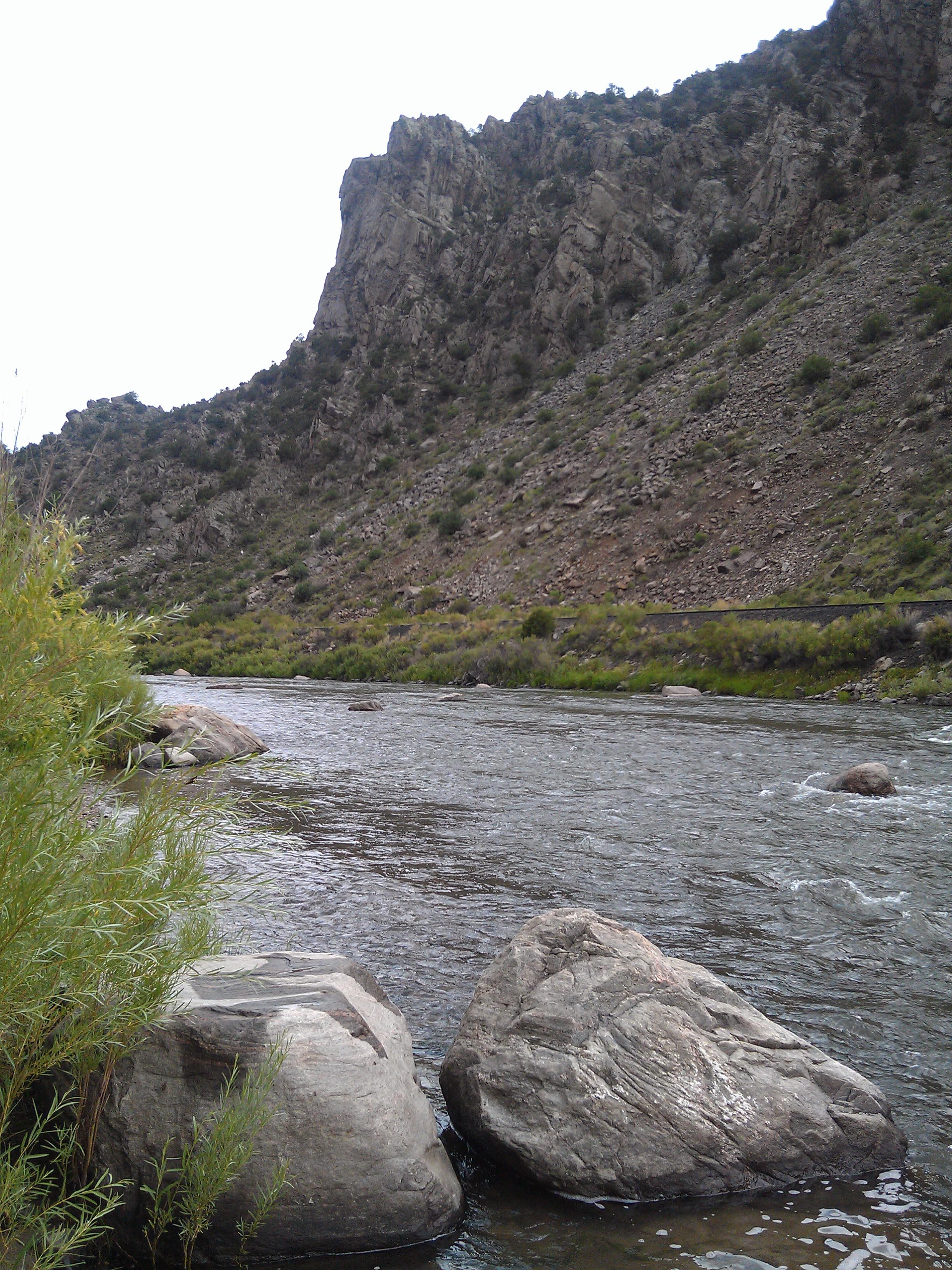
Arkansas River
Early winter morning in Cotopaxi
2013-08-10 13.25.44
2013-08-10 13.25.47

iphone pano
Arkansas Banks
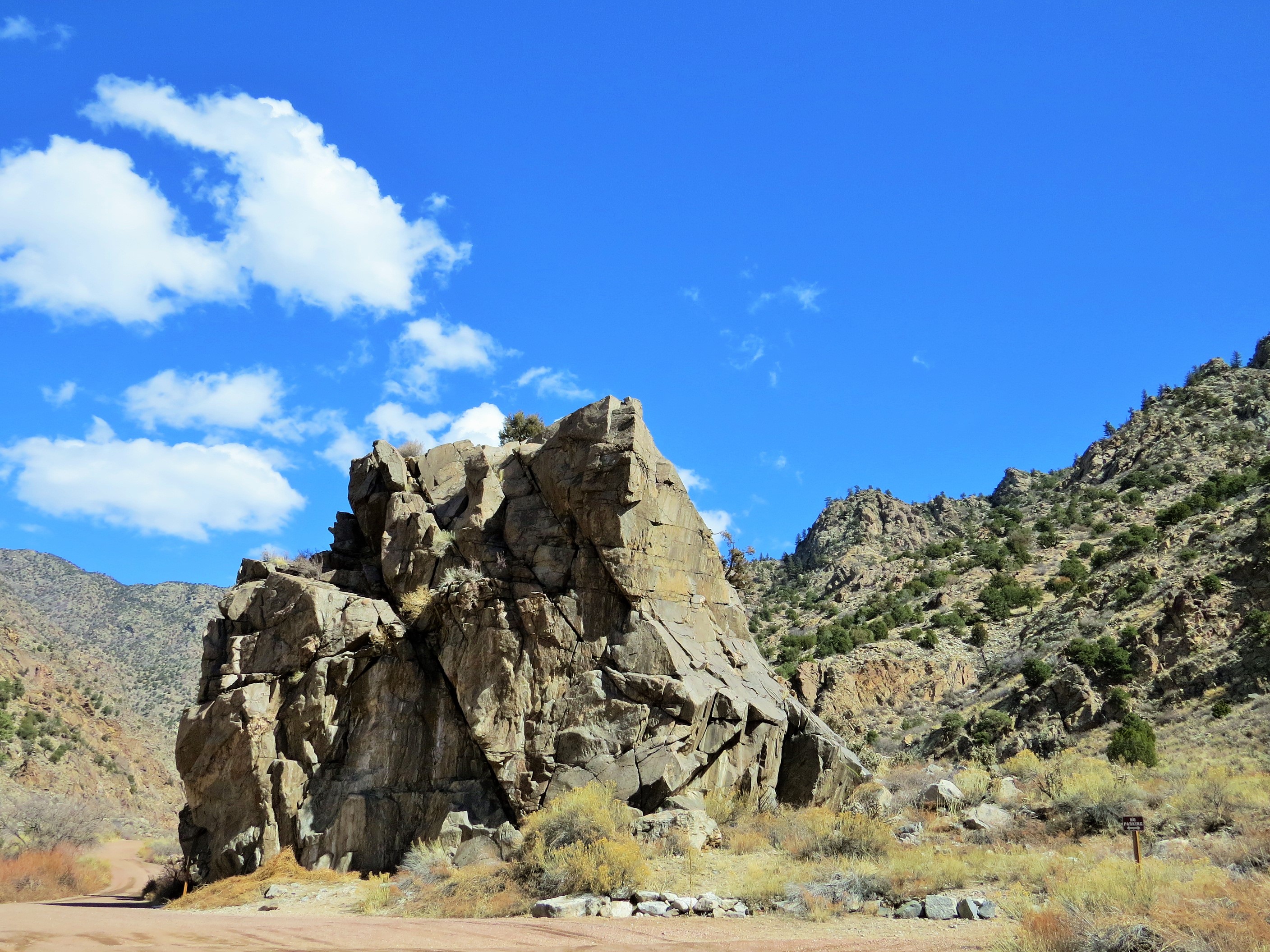
Pinnacle Rock

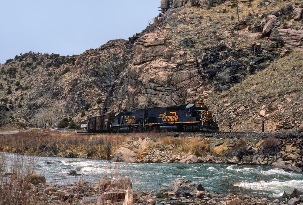
Mountain Railway in Colorado
us_trip 067
Arkansas River- Fremont County CO (3)
Mountain Railway
P1010438.JPG

(2014-06-15) - 0228

Horses in Colorado
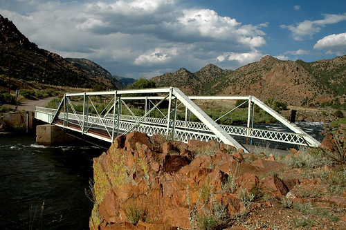
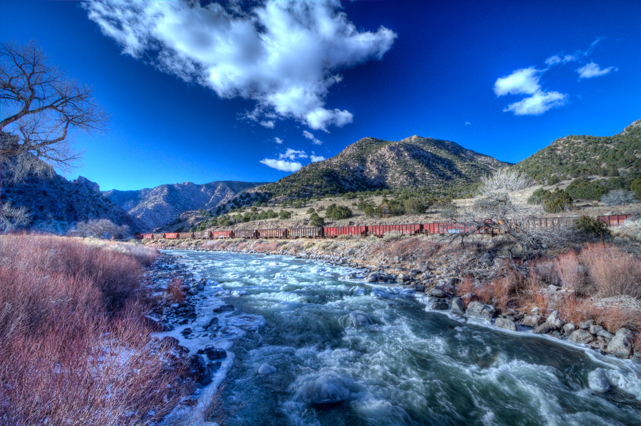
Texas Creek Bridge, Arkansas River, Colorado
Picture 012
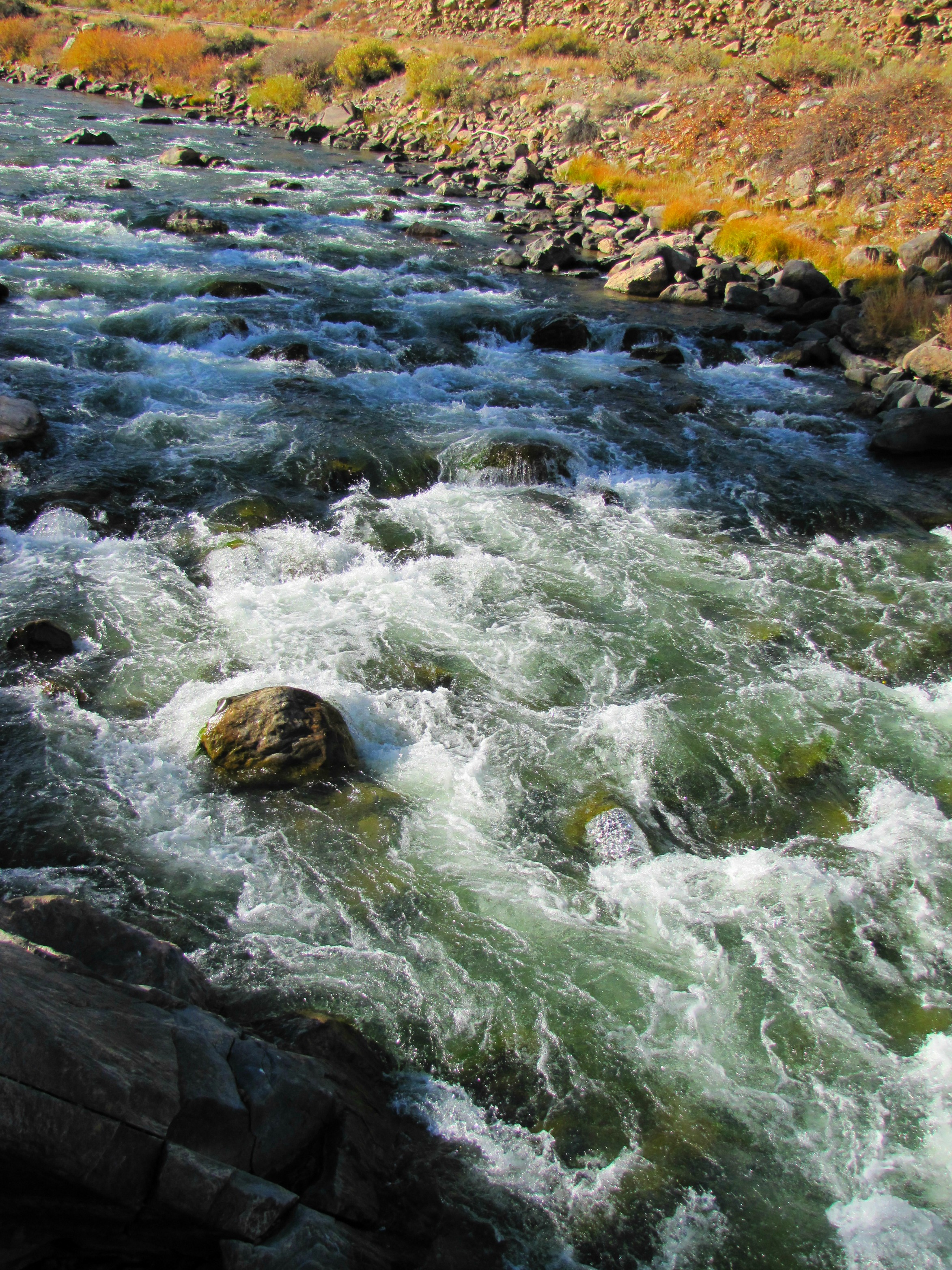
Arkansas River rapids (2of 3)
Powdered Sugar
Arkansas River- Fremont County CO (4)
Topographic Map of Texas Creek, CO, USA
Find elevation by address:

Places near Texas Creek, CO, USA:
24634 Us-50
767 Shannon Rd
493 Shannon Rd
25580 Us-50
419 Shannon Rd
24634 Us-50
Bull Ridge
1154 Kirk Dr
1154 Kirk Dr
1420 Coyote Run
145 Last Chance Way
1544 Pronghorn Path
102 Deer Ln
36 Orlando Ln
3283 Co Rd 28
3283 Co Rd 28
3018 Co Rd 28
600 Canyon Rd
1605 Texas Creek Ln
238 Canyon Rd
Recent Searches:
- Elevation of Power Generation Enterprises | Industrial Diesel Generators, Oak Ave, Canyon Country, CA, USA
- Elevation of Chesaw Rd, Oroville, WA, USA
- Elevation of N, Mt Pleasant, UT, USA
- Elevation of 6 Rue Jules Ferry, Beausoleil, France
- Elevation of Sattva Horizon, 4JC6+G9P, Vinayak Nagar, Kattigenahalli, Bengaluru, Karnataka, India
- Elevation of Great Brook Sports, Gold Star Hwy, Groton, CT, USA
- Elevation of 10 Mountain Laurels Dr, Nashua, NH, USA
- Elevation of 16 Gilboa Ln, Nashua, NH, USA
- Elevation of Laurel Rd, Townsend, TN, USA
- Elevation of 3 Nestling Wood Dr, Long Valley, NJ, USA