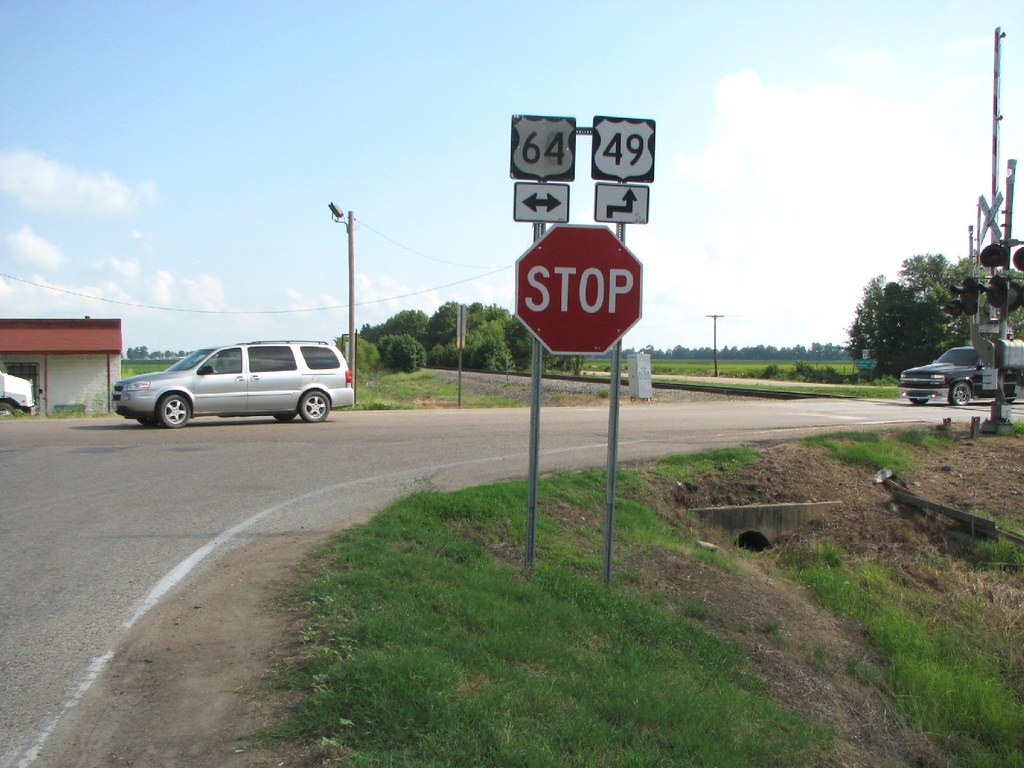
Elevation of US 49, McCrory, AR, USA
Location: United States > Arkansas > Cross County > Fair Oaks Township >
Longitude: -91.031944
Latitude: 35.243017
Elevation: 68m / 223feet
Barometric Pressure: 101KPa
Elevation Map:
Satellite Map:
Related Photos:
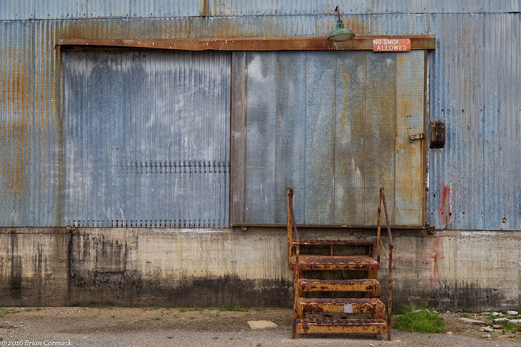
No Smoking

UP SD70AH 8987

Our garden bed

New shop
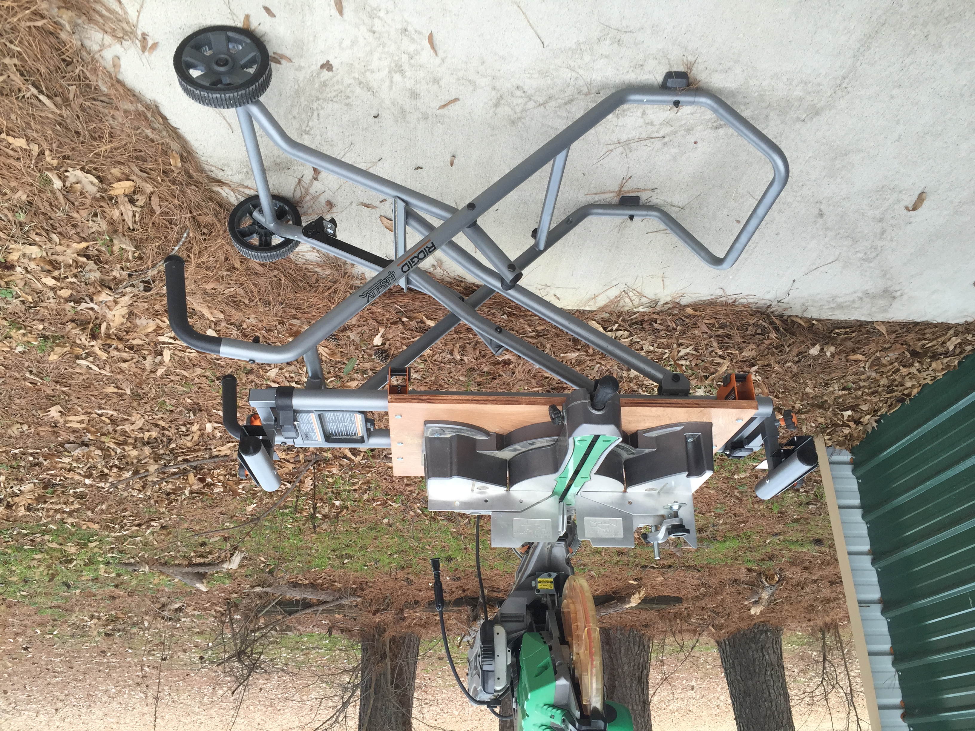
New Ridgid miter saw stand

New Ridgid miter saw stand

New Ridgid miter saw stand

Old kitchen new kitchen
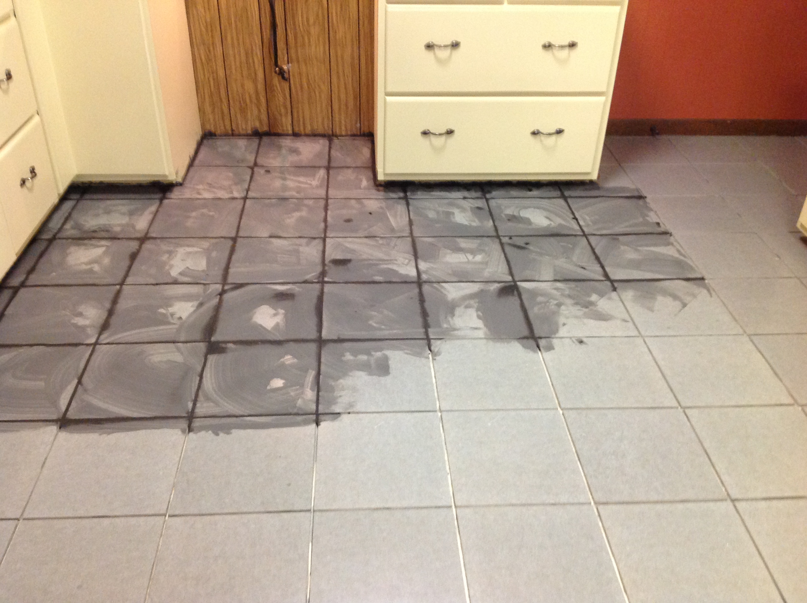
Laying tile fun fun

Laying tile fun fun
2014-01-26_08-2
Shortest Duplex

red<3
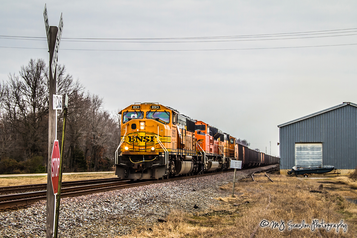
BNSF 8913 - EMD SD70MAC - UP Jonesboro Subdivision
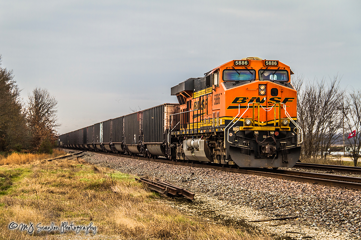
BNSF 5886 - GE ES44AC - UP Jonesboro Subdivision
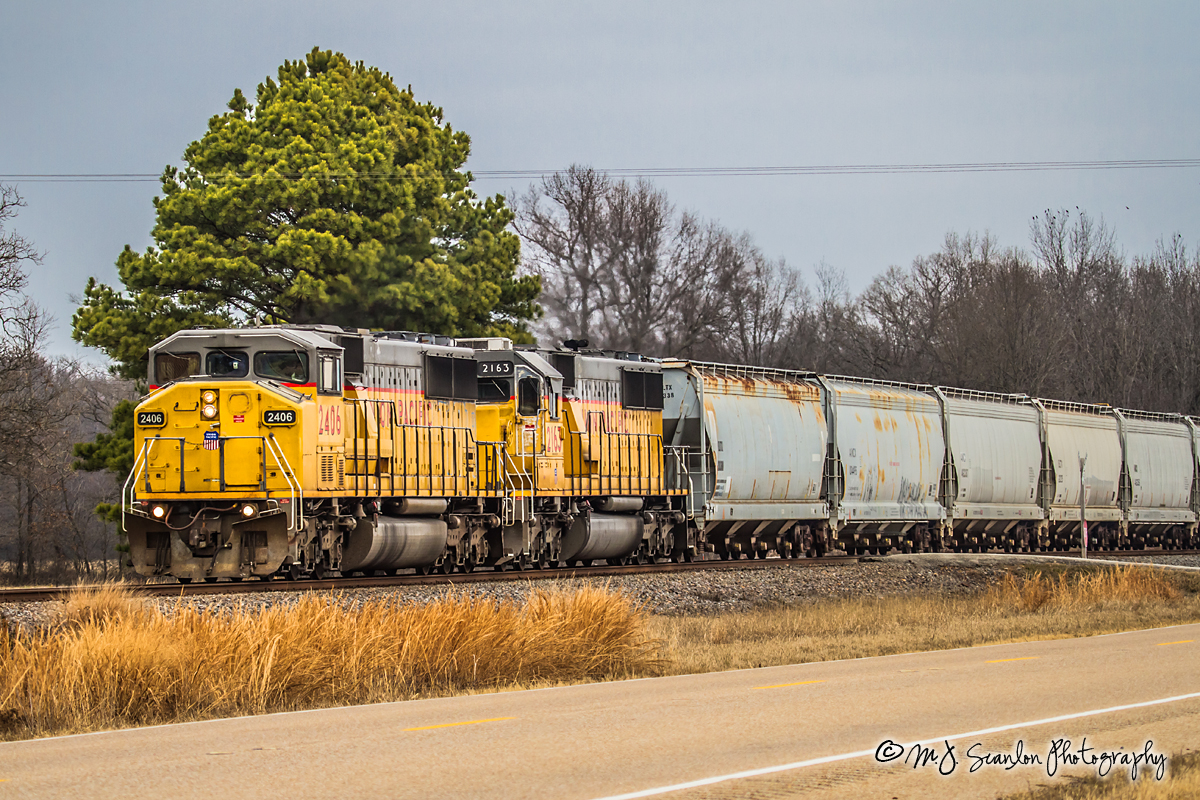
UP 2406 - EMD SD60M - UP Jonesboro Subdivision
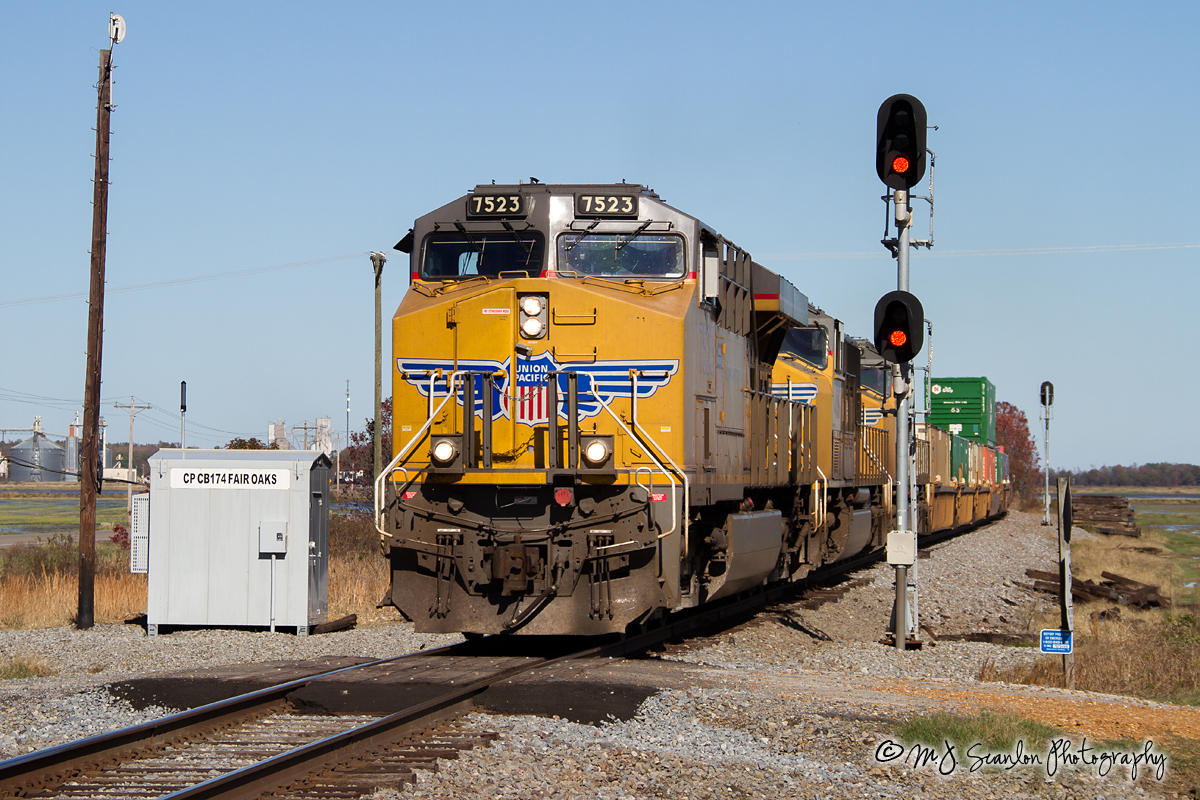
UP 7523 - ES44AC - UP Jonesboro Subdivision

UP Train ZDUMQ-26
Follow The Leader
My New Truck
My New Truck
Topographic Map of US 49, McCrory, AR, USA
Find elevation by address:

Places near US 49, McCrory, AR, USA:
24 AR-, McCrory, AR, USA
Fair Oaks Township
US 49, Hickory Ridge, AR, USA
Brushy Lake Township
AR-, Wynne, AR, USA
Ellis Township
11 Co Rd, Wynne, AR, USA
Wynne, AR, USA
Bedford Township
State Hwy, Wynne, AR, USA
Cross County
Wynne Township
AR-1, Colt, AR, USA
Wynne
1811 H F Henson Dr
5 Co Rd, Wynne, AR, USA
Searcy Township
1113 Ar-163
Village Creek State Park
Recent Searches:
- Elevation of Erika Dr, Windsor, CA, USA
- Elevation of Village Ln, Finleyville, PA, USA
- Elevation of 24 Oakland Rd #, Scotland, ON N0E 1R0, Canada
- Elevation of Deep Gap Farm Rd E, Mill Spring, NC, USA
- Elevation of Dog Leg Dr, Minden, NV, USA
- Elevation of Dog Leg Dr, Minden, NV, USA
- Elevation of Kambingan Sa Pansol Atbp., Purok 7 Pansol, Candaba, Pampanga, Philippines
- Elevation of Pinewood Dr, New Bern, NC, USA
- Elevation of Mountain View, CA, USA
- Elevation of Foligno, Province of Perugia, Italy