Elevation of State Hwy, Wynne, AR, USA
Location: United States > Arkansas > Cross County > Bedford Township >
Longitude: -90.845502
Latitude: 35.16334
Elevation: 69m / 226feet
Barometric Pressure: 100KPa
Elevation Map:
Satellite Map:
Related Photos:

IMG_2042

IMG_2044

IMG_2046
IMG_2043
IMG_2056

IMG_2057

IMG_2045

IMG_2040
IMG_2041

IMG_2051

IMG_2052
IMG_2059
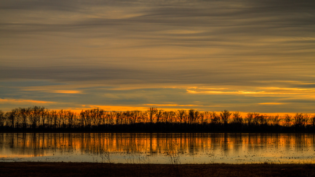
Wiggins Lake Sunset
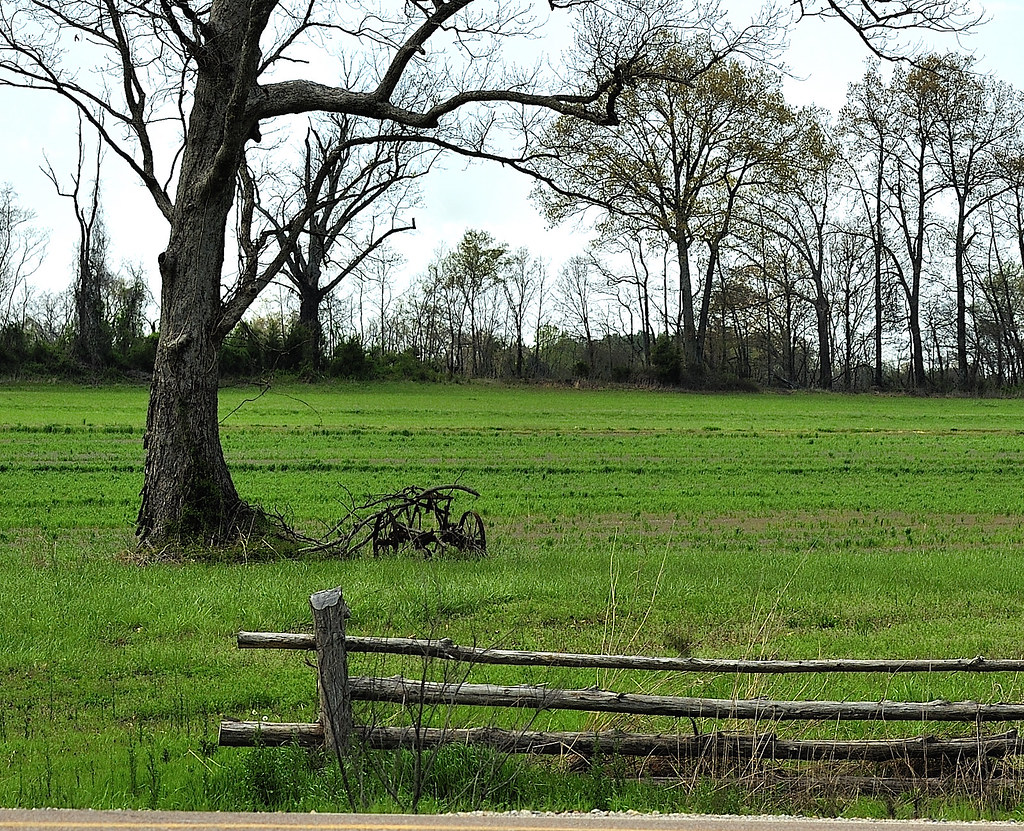
Deserted Sulky
Topographic Map of State Hwy, Wynne, AR, USA
Find elevation by address:

Places near State Hwy, Wynne, AR, USA:
AR-1, Colt, AR, USA
Wynne Township
Bedford Township
Ellis Township
Wynne
11 Co Rd, Wynne, AR, USA
Wynne, AR, USA
1811 H F Henson Dr
AR-, Wynne, AR, USA
Cross County
Village Creek State Park
1113 Ar-163
5 Co Rd, Wynne, AR, USA
Fair Oaks Township
Searcy Township
Brushy Lake Township
24 AR-, McCrory, AR, USA
US 49, McCrory, AR, USA
US 49, Hickory Ridge, AR, USA
Recent Searches:
- Elevation of Corso Fratelli Cairoli, 35, Macerata MC, Italy
- Elevation of Tallevast Rd, Sarasota, FL, USA
- Elevation of 4th St E, Sonoma, CA, USA
- Elevation of Black Hollow Rd, Pennsdale, PA, USA
- Elevation of Oakland Ave, Williamsport, PA, USA
- Elevation of Pedrógão Grande, Portugal
- Elevation of Klee Dr, Martinsburg, WV, USA
- Elevation of Via Roma, Pieranica CR, Italy
- Elevation of Tavkvetili Mountain, Georgia
- Elevation of Hartfords Bluff Cir, Mt Pleasant, SC, USA