Elevation of US-27, Falmouth, KY, USA
Location: United States > Kentucky > Pendleton County > Falmouth >
Longitude: -84.319037
Latitude: 38.6352493
Elevation: 195m / 640feet
Barometric Pressure: 99KPa
Elevation Map:
Satellite Map:
Related Photos:
17-49-02, Harrison County, Kentucky
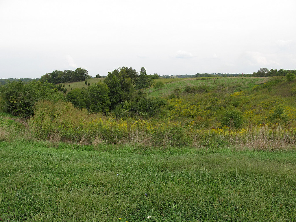
Rolling Hills

Tobacco on the stake

Tobacco wagons at dusk.
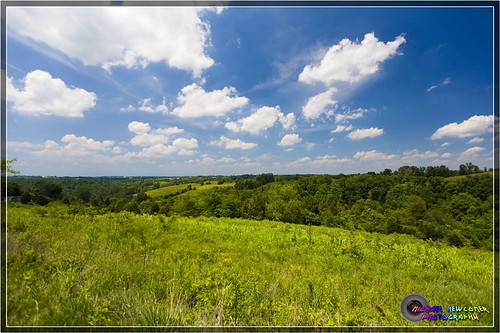
Kentucky Landscape

DAL 1721 Heavey

Kentucky Landscape
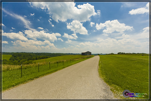
Kentucky Landscape

Kentucky Landscape
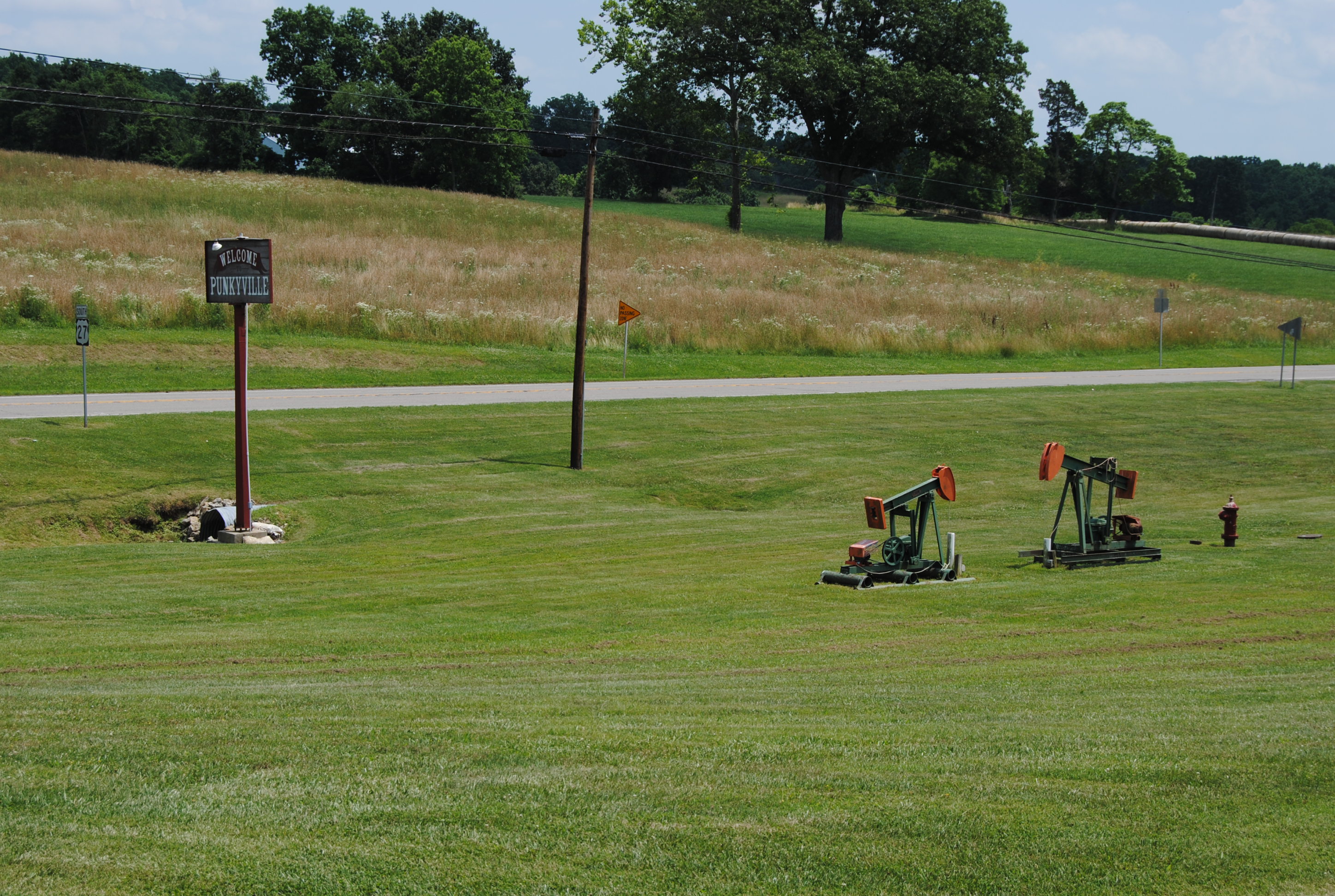
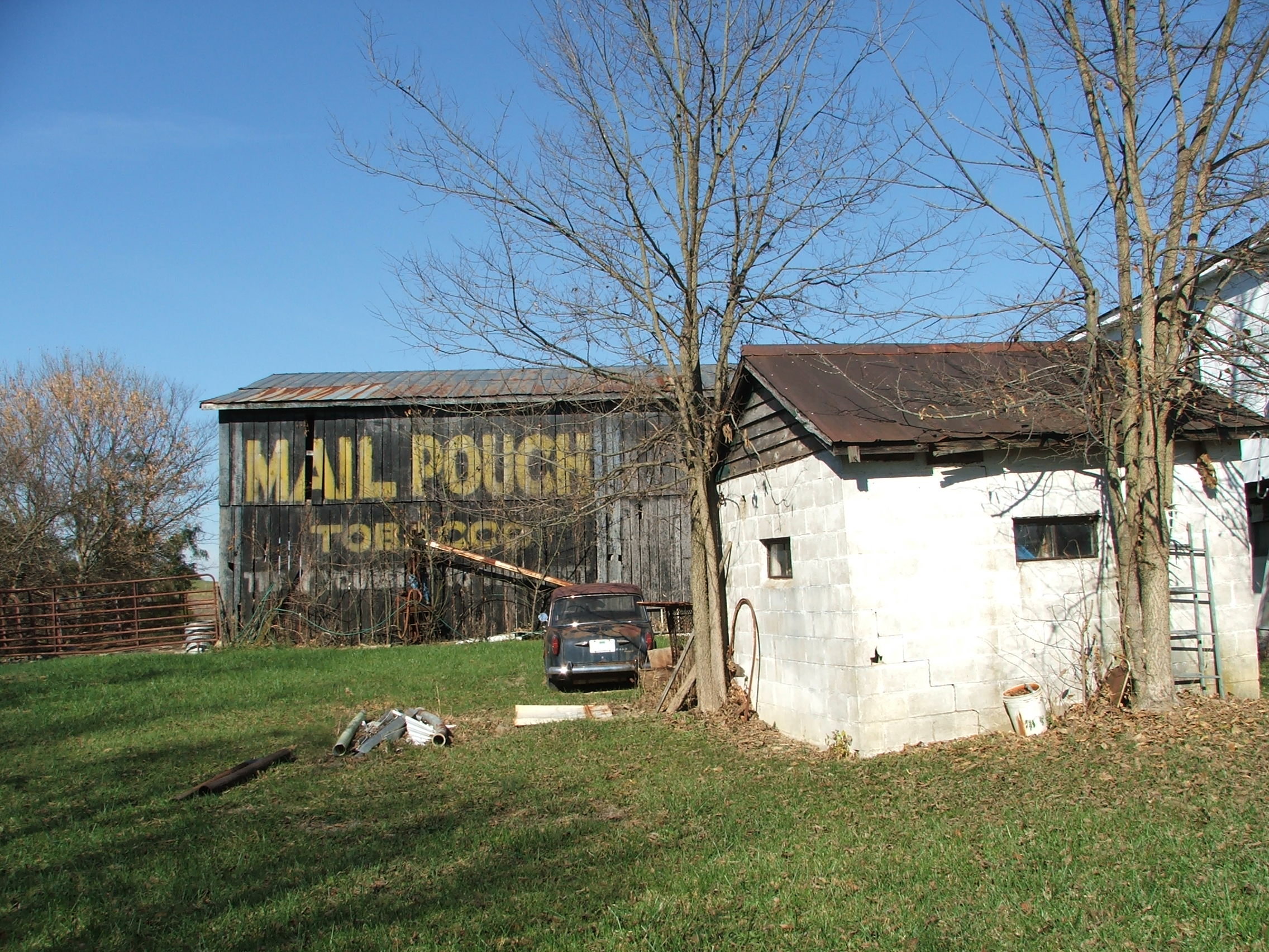
Punkyville, near Falmouth, Kentucky.

Kentucky Tobacco Field

Kincaid Lake State Park, KY.

Kincaid Lake State Park, KY.

Kentucky Tobacco Field

Rolling Hills, Fall Colors
Topographic Map of US-27, Falmouth, KY, USA
Find elevation by address:

Places near US-27, Falmouth, KY, USA:
North Rhonda Drive
Falmouth
W Shelby St, Falmouth, KY, USA
259 Falmouth Brooksville Rd
Pendleton County
W State Hwy 22, Falmouth, KY, USA
Kelat
8 State Hwy 22, Brooksville, KY, USA
US-27, Butler, KY, USA
KY-10, Falmouth, KY, USA
Butler
KY-, Butler, KY, USA
102 Riverside Dr
Willow Lenoxburg Rd, Brooksville, KY, USA
Powersville-Willow Rd, Brooksville, KY, USA
Gibson Lane
Foster
Oddville Pike, Cynthiana, KY, USA
KY-10, Butler, KY, USA
Main St, Moscow, OH, USA
Recent Searches:
- Elevation of Congressional Dr, Stevensville, MD, USA
- Elevation of Bellview Rd, McLean, VA, USA
- Elevation of Stage Island Rd, Chatham, MA, USA
- Elevation of Shibuya Scramble Crossing, 21 Udagawacho, Shibuya City, Tokyo -, Japan
- Elevation of Jadagoniai, Kaunas District Municipality, Lithuania
- Elevation of Pagonija rock, Kranto 7-oji g. 8"N, Kaunas, Lithuania
- Elevation of Co Rd 87, Jamestown, CO, USA
- Elevation of Tenjo, Cundinamarca, Colombia
- Elevation of Côte-des-Neiges, Montreal, QC H4A 3J6, Canada
- Elevation of Bobcat Dr, Helena, MT, USA