Elevation of US-26, Sandy, OR, USA
Location: United States > Oregon > Clackamas County > Sandy >
Longitude: -122.16315
Latitude: 45.3655029
Elevation: 402m / 1319feet
Barometric Pressure: 97KPa
Elevation Map:
Satellite Map:
Related Photos:
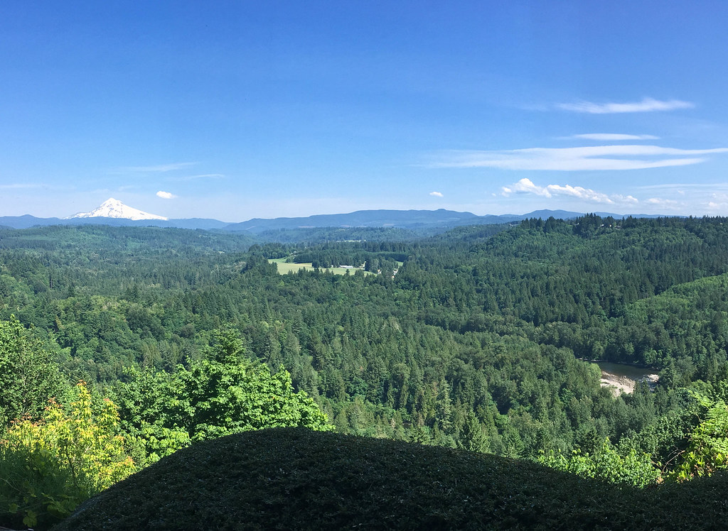
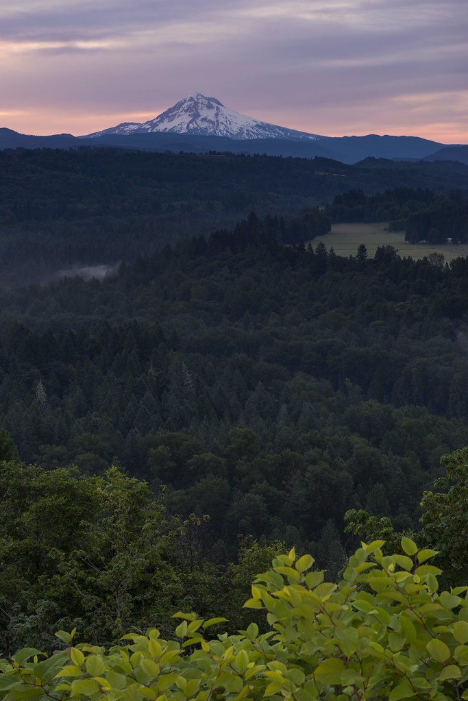
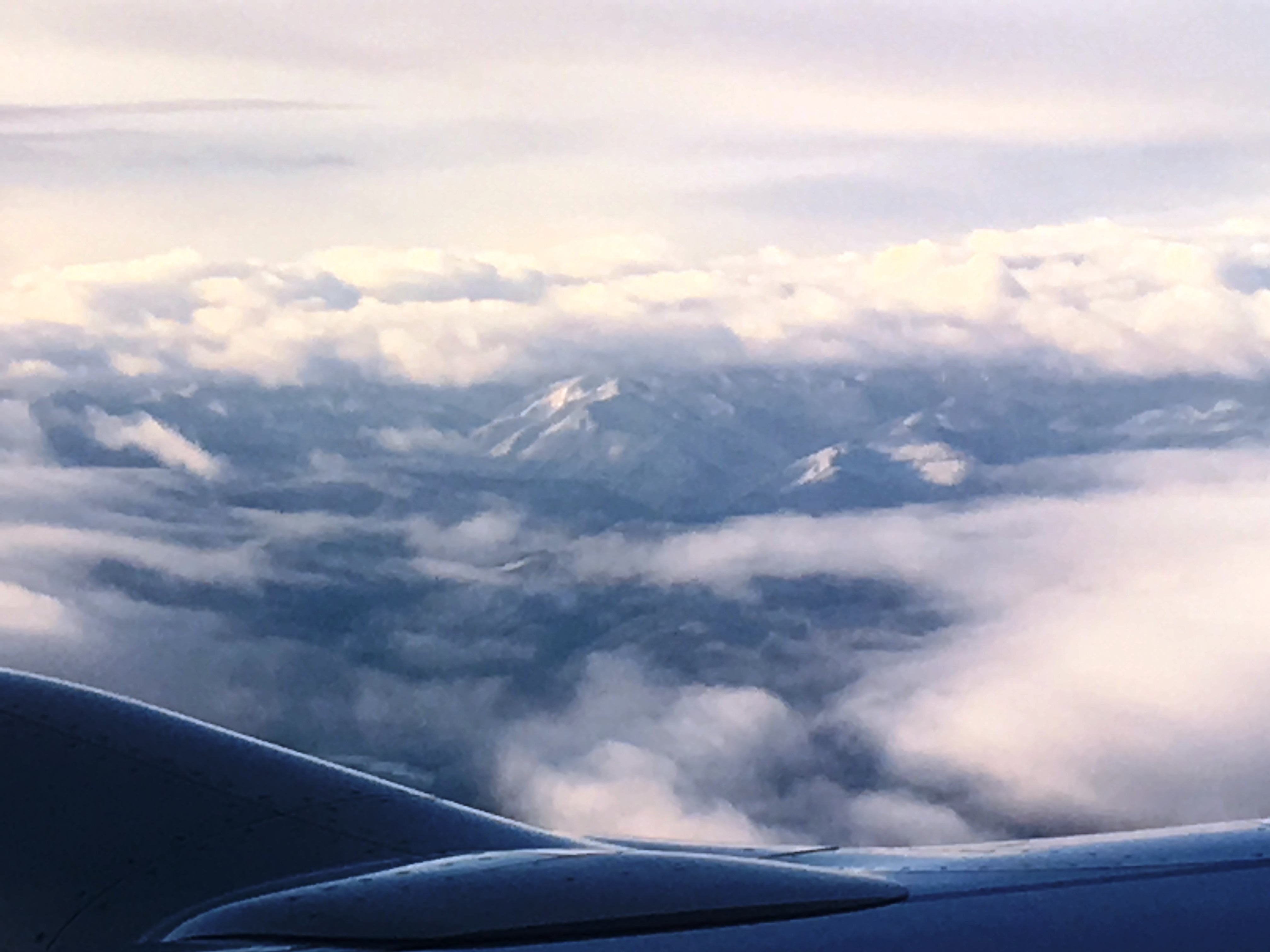
View from My Place

Awaiting Sunrise at Jonsrud Viewpoint - Sandy Oregon - HDR

Rolling fog over Sandy River Valley. Can't wait to see more of these foggy landscapes . . . . . #jonrudsviewpoint #sandyoregon #foggymorning #foggysunrise #mthoodterritory #canon_official #canonphotography #madewithmefoto #purplepassport #explorecreatesha

Hood to Coast 2009
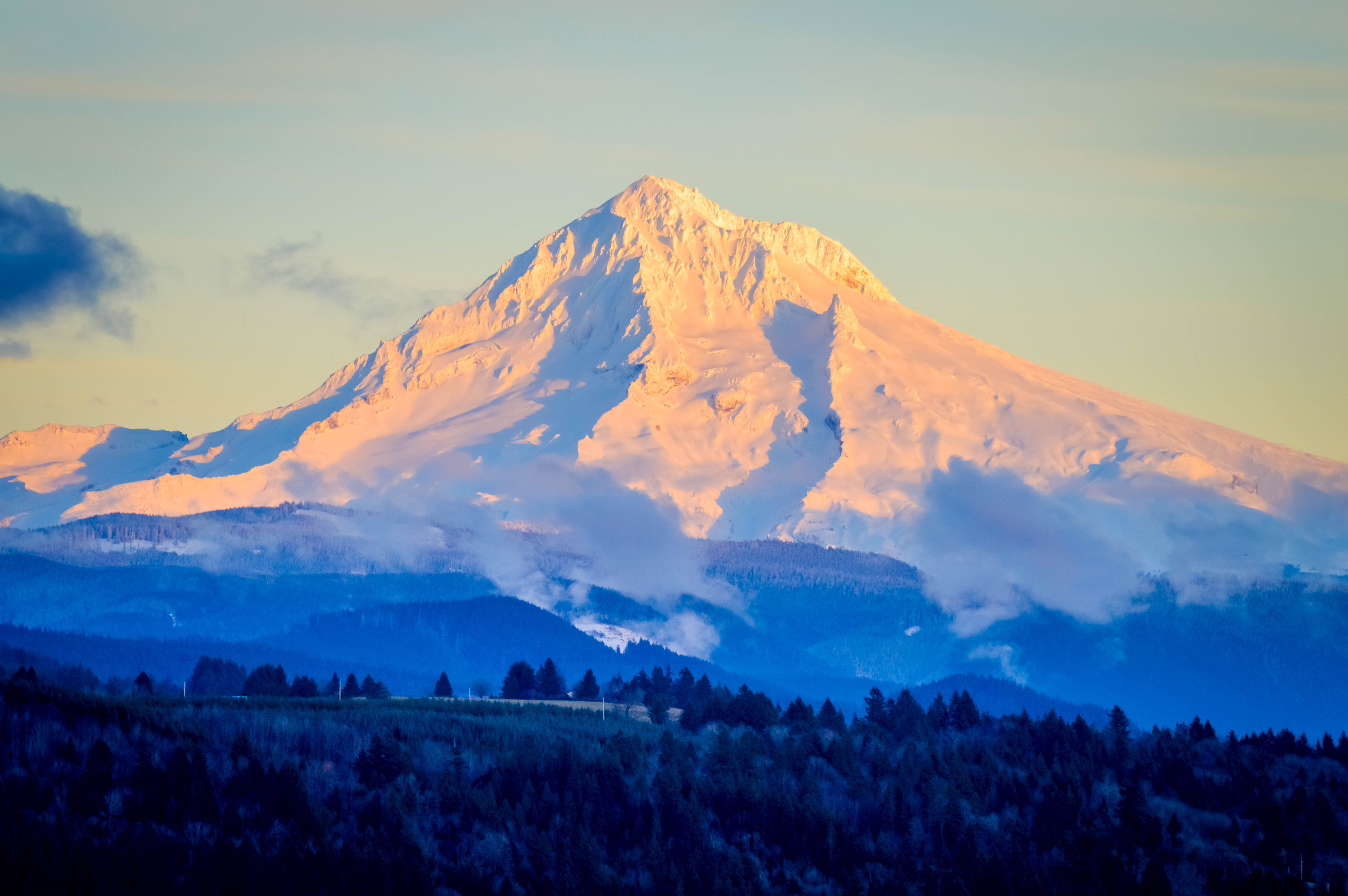
DSC02095 (4) Mt. Hood Oregon
Amazing view of Mt. Hood! #mthood #oregon #view #amazing #mountain from #Skibowl
Welches - view from suite
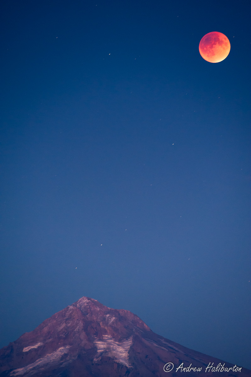
Super Blood Moon Lunar Eclipse 2015 at Maximum Occlusion

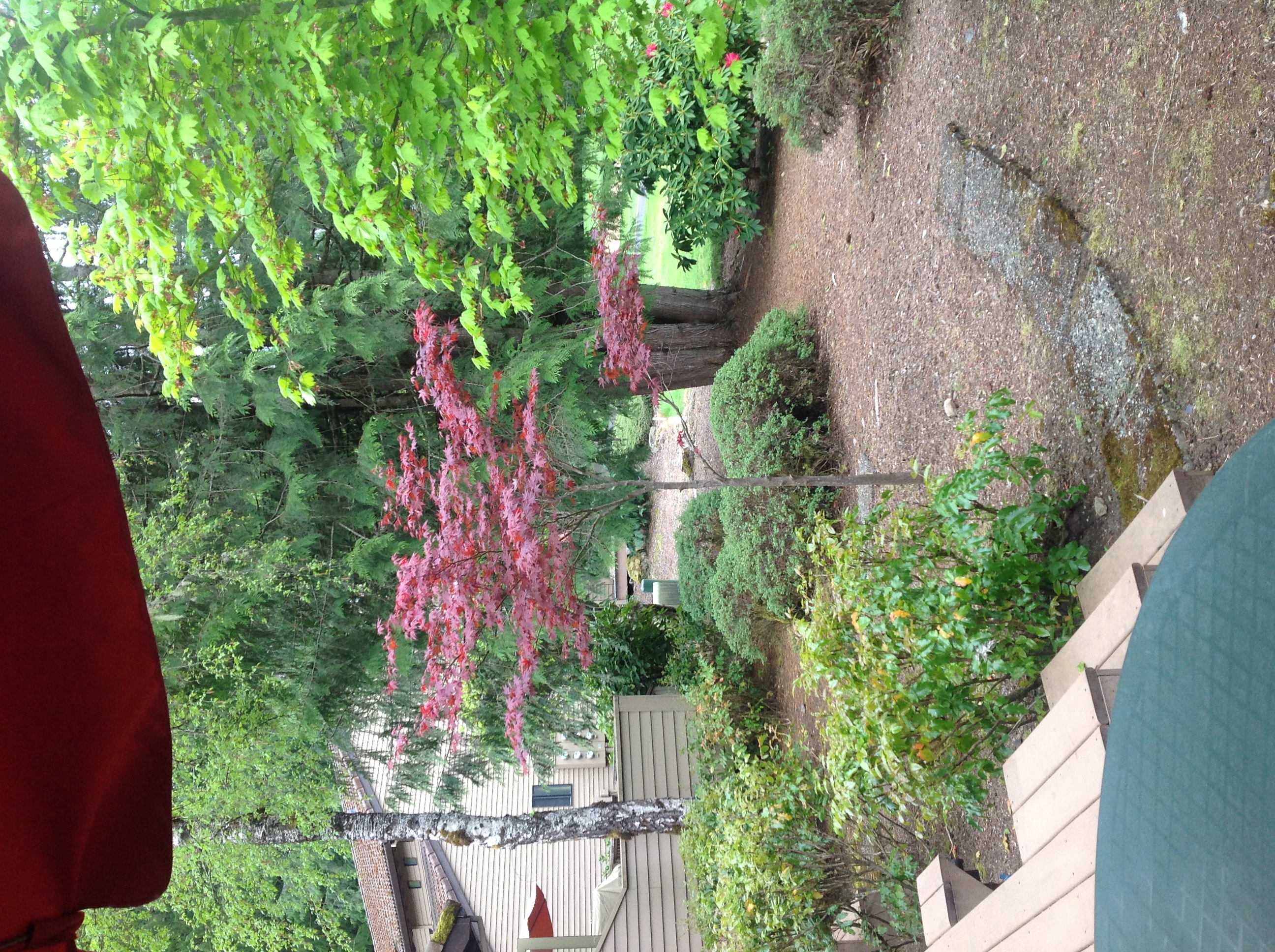
View from the Deck
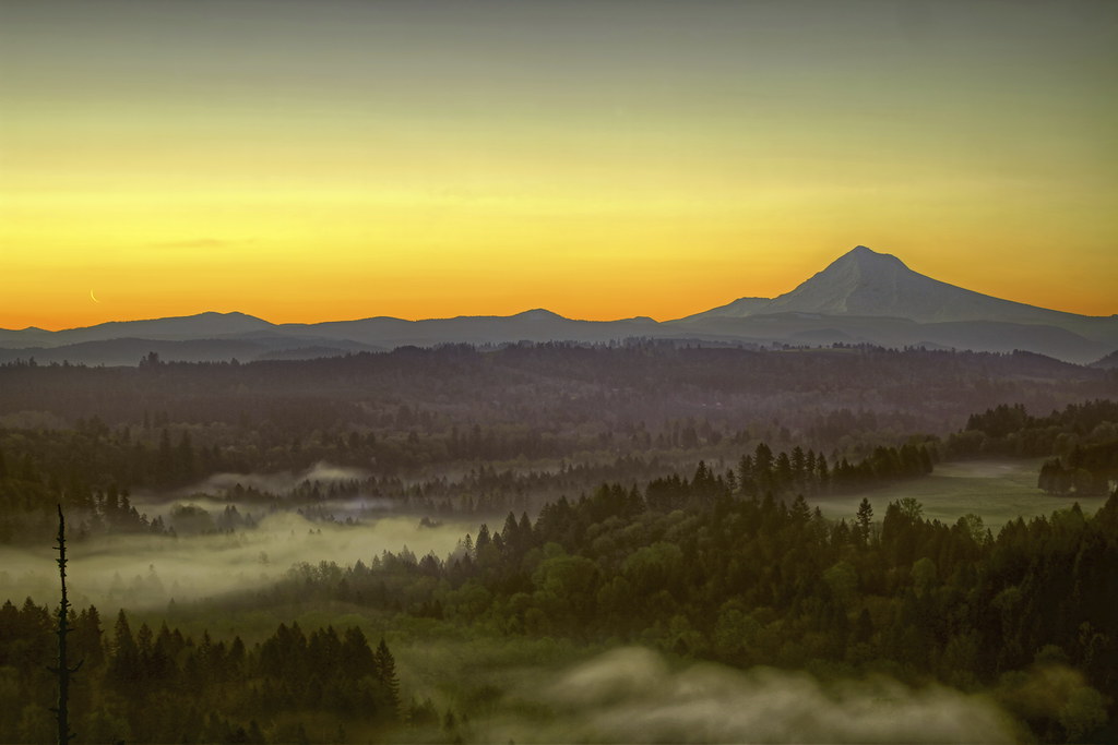
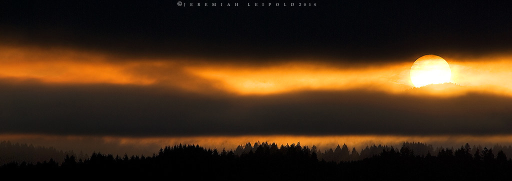
Moonrise and Sunrise Over Mount Hood and Sandy River Valley - HDR
The Last Kiss
Our lovely mountain
The most I can do for my friend is simply be his friend…
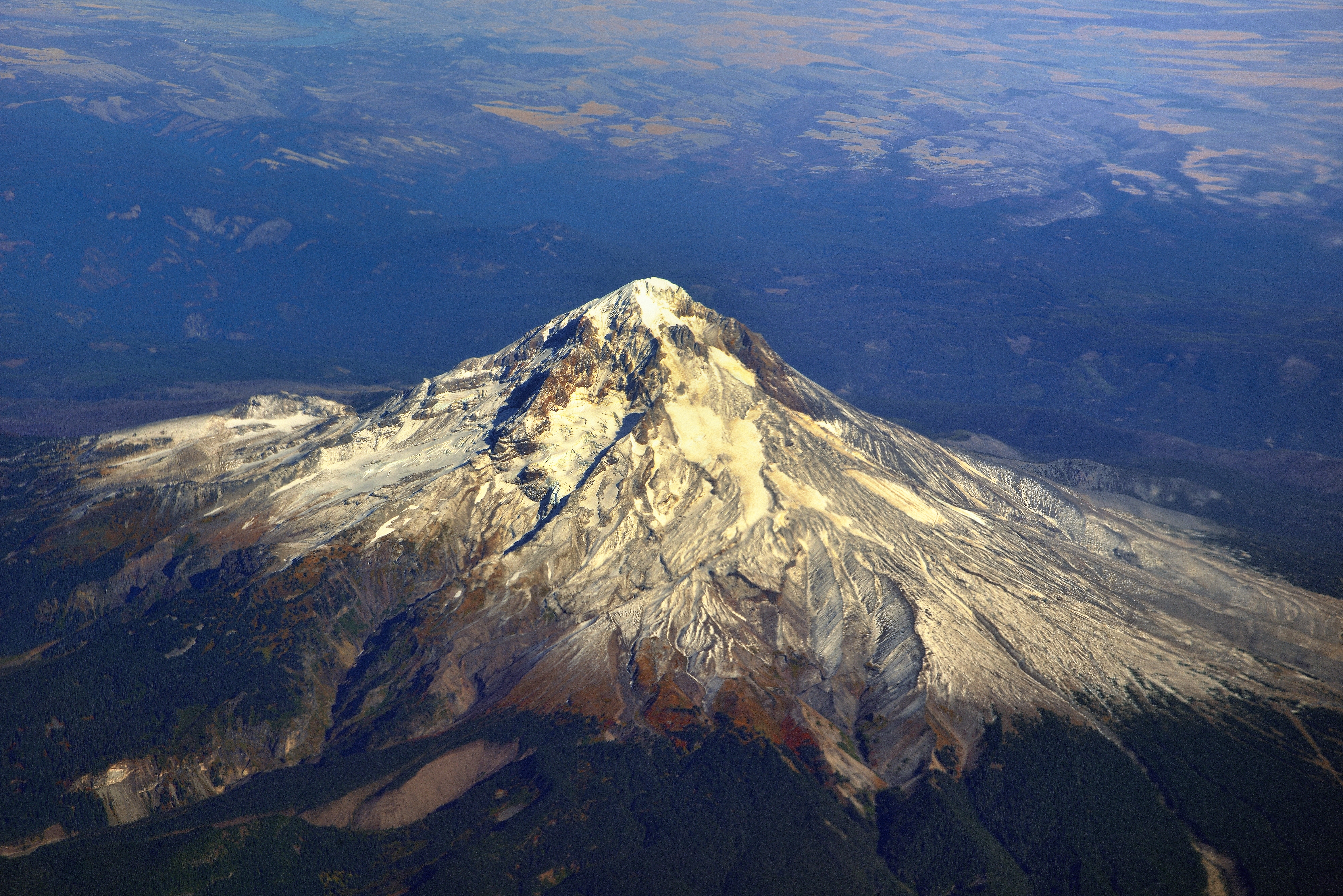
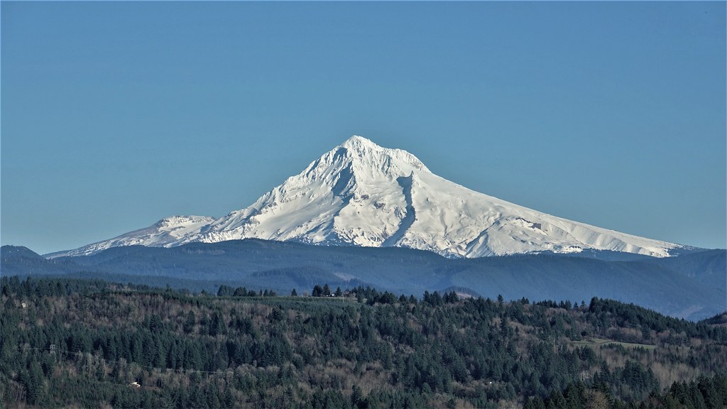
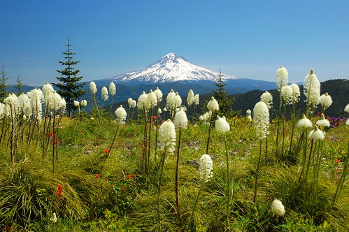
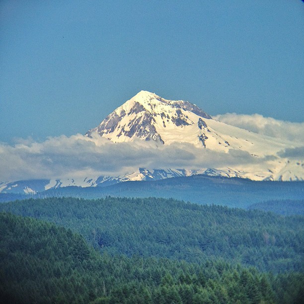
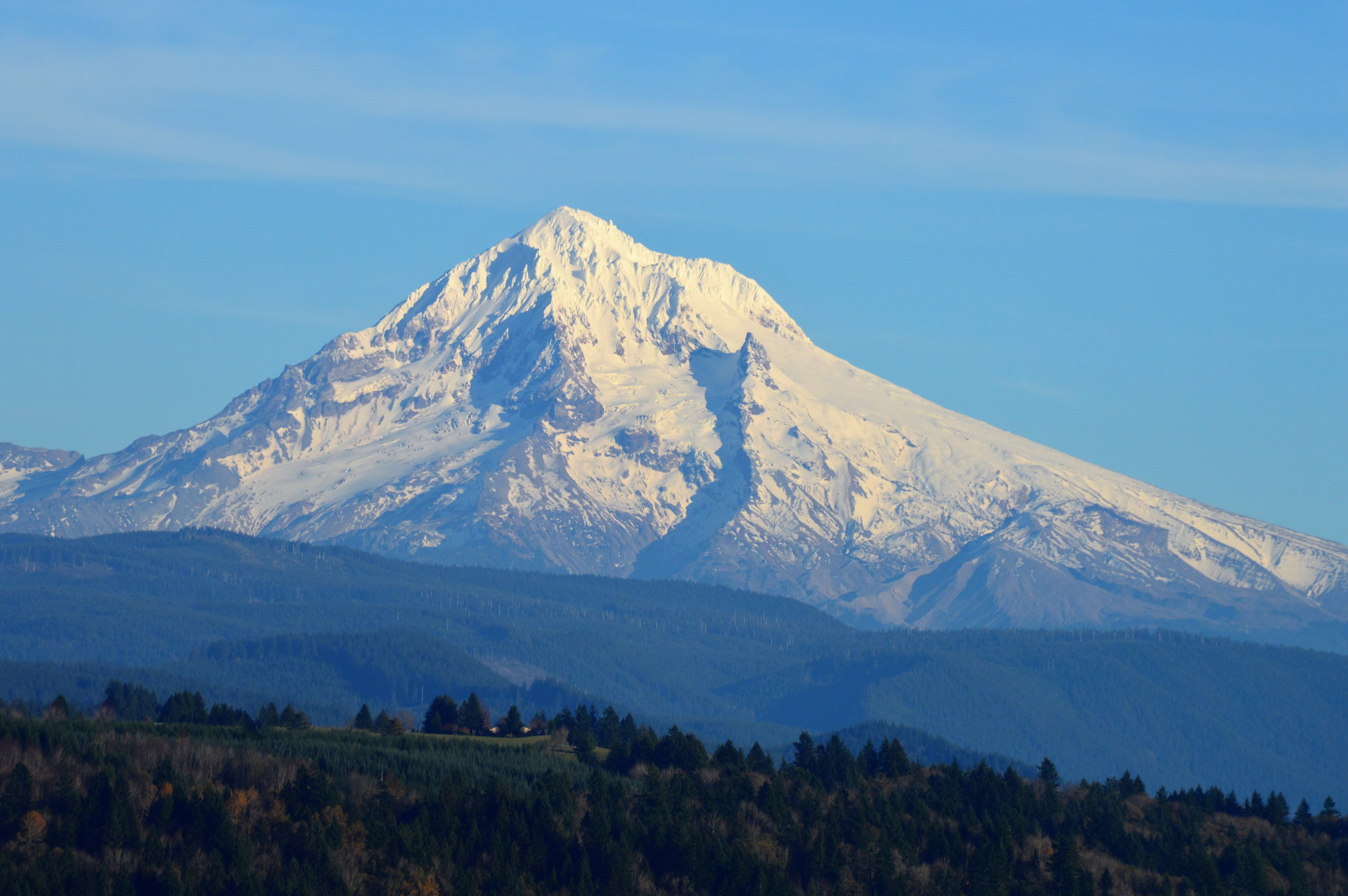
Mount Hood...Up Close!

One of those gorgeous sunrises and rolling fog scene I captured sometime ago . . . . . #pacificnorthwest #sandyriver #foggymorning #mthood #traveloregon #exploreoregon #mthoodterritory #mthoodnationalforest #jj_westcoast #jj_oregon #purplepassport #explor
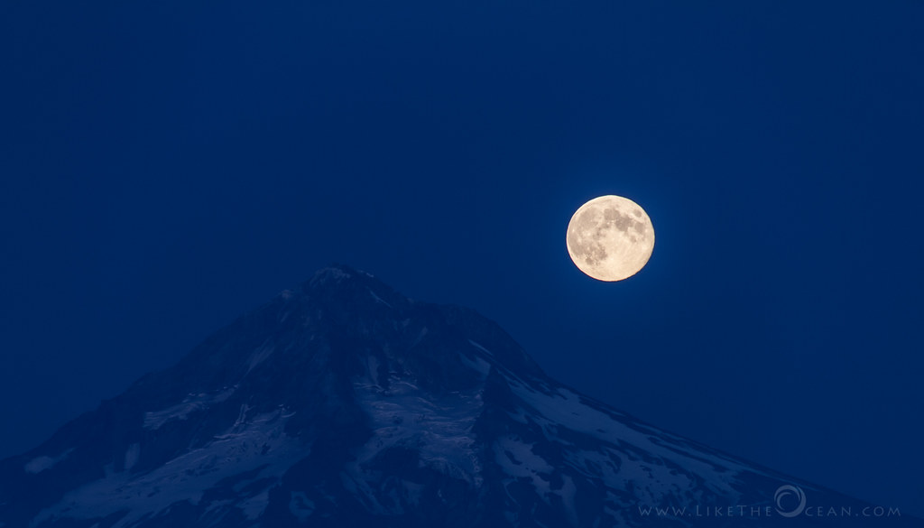
Once in a blue moon
Window Views-PDX-MSY Family Trip 2-2017 (4)
Window Views-PDX-MSY Family Trip 2-2017 (3)
View for 4th of July
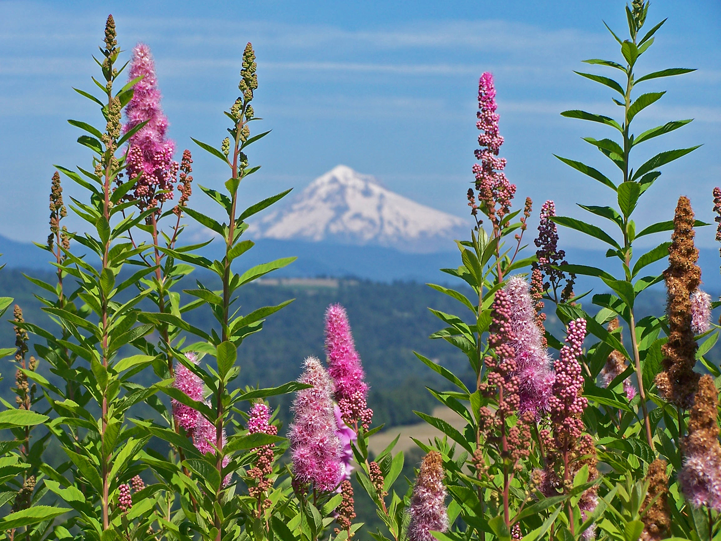
Mt. Hood spirea
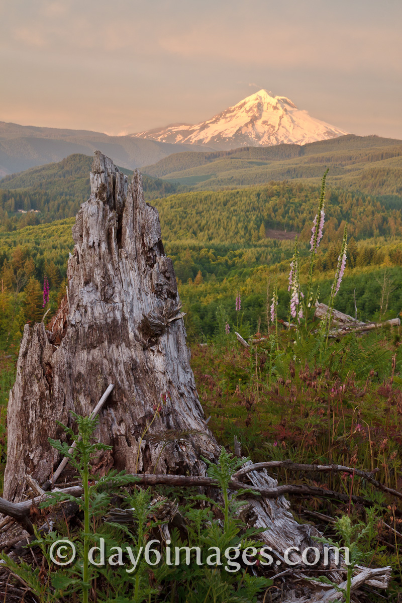
day6images.com-112.jpg
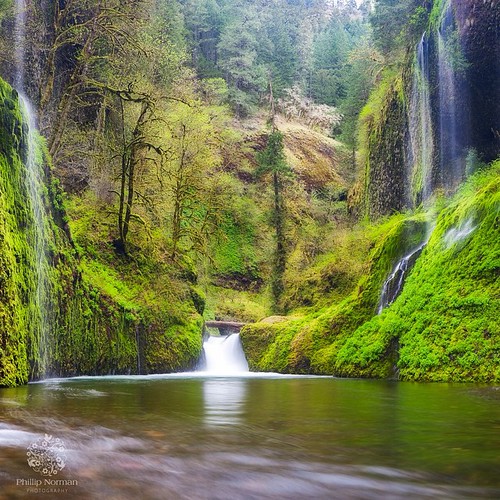
When I first saw an image of this place by Chip Phillips I said to myself I had to get there. When I finally found myself standing there after drawing on my years of map reading and navigation skills and getting through the narrow gorge with chest deep fr
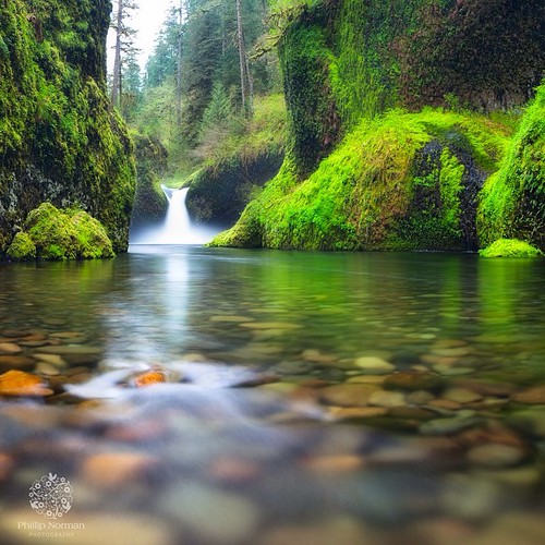
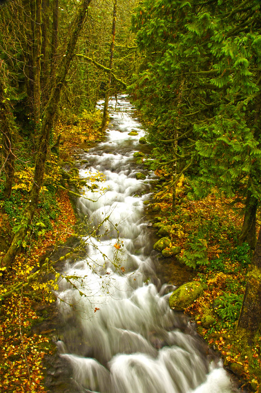
The Columbia River begins its journey in the Canadian Rockies and finds its way down into Washington and Oregon where it flows past the northern slopes of Mt Hood. There are many tributaries flowing off those slopes where high rainfall feeds a lush forest
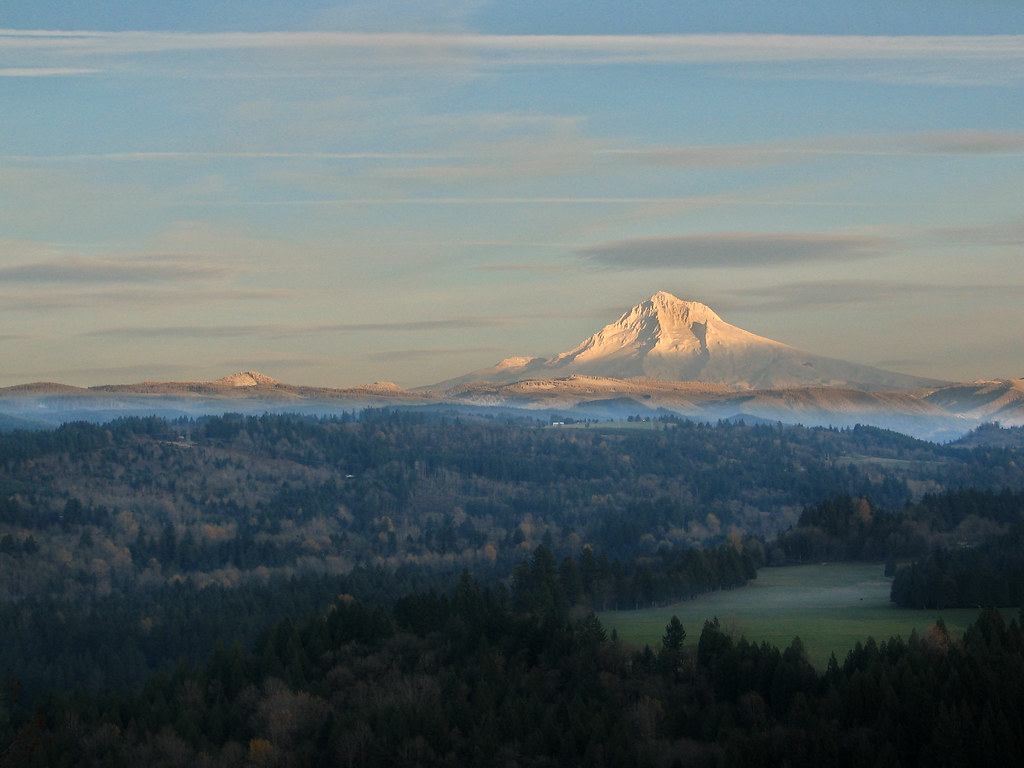
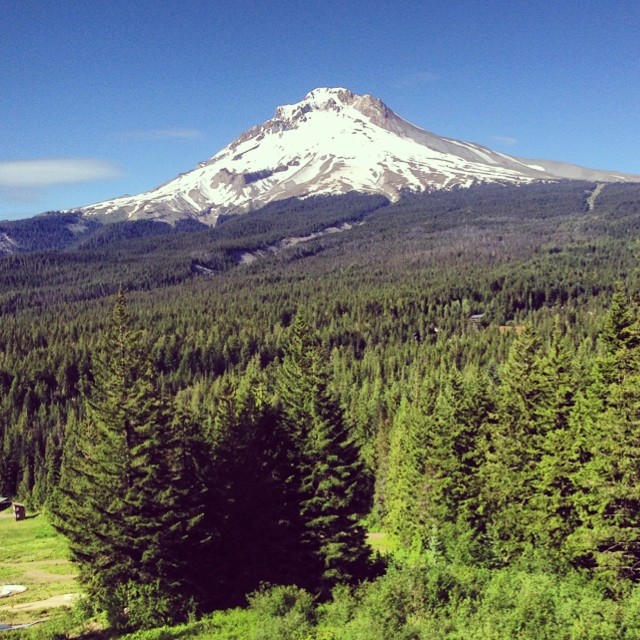
Mt. Hood Majesty
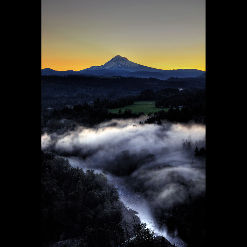
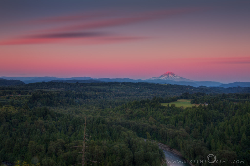
Mt. Hood Pre Sunrise from Jonsrud Viewpoint
Sunrise, Jonsrud Viewpoint 2013

Mt. Hood Sunrise Half Volume from Jonsrud Viewpoint
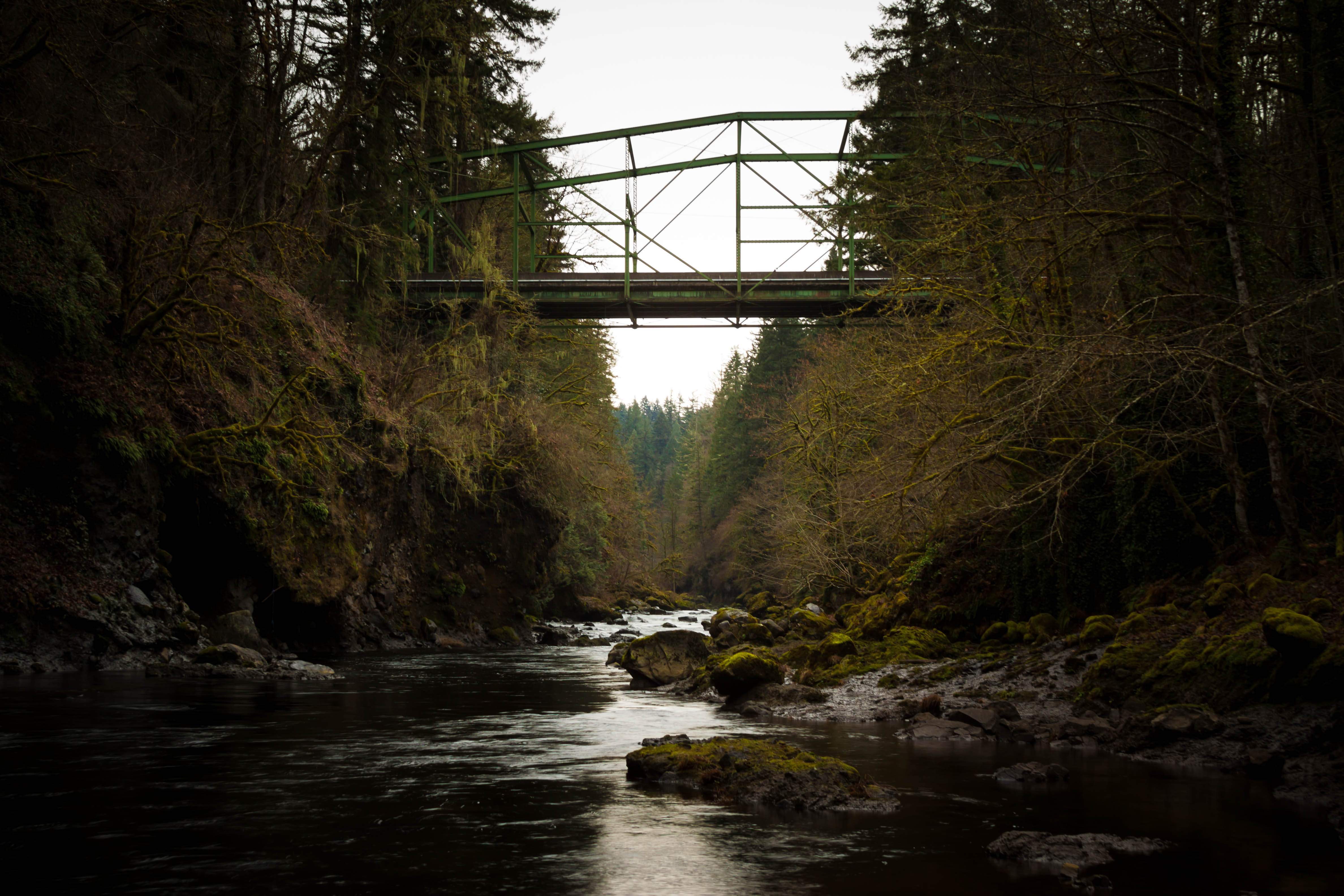
Bull Run Bridge

Mt. Hood Sunrise
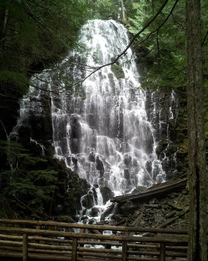
Falling crystals, an 11-mile round trip hike to reach this with the snow gates closed for the season, but it is beautiful. #nofilter #mthood #mthoodterritory #mthoodnationalforest #PDX #pnwonderland #pnw #nwisbest #Oregon #upperleftusa #waterfallwednesday
DSC_0802-2
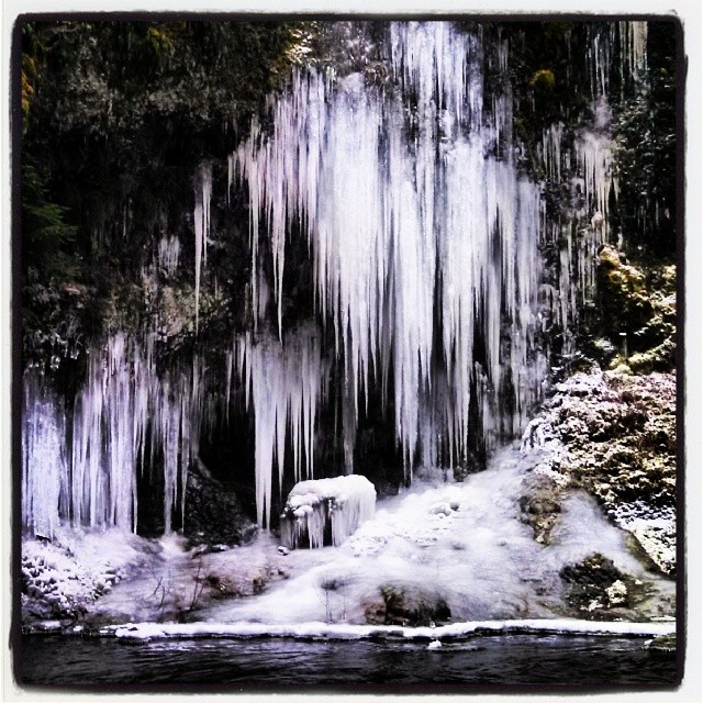
Frozen waterfall. #beautifulearth #pacificnorthwest #cascades #frozen #waterandice #icicles #winter
DSC_0705 (2)
Stop along the road
Topographic Map of US-26, Sandy, OR, USA
Find elevation by address:

Places near US-26, Sandy, OR, USA:
49849 E Cherryville Dr
49900 Se Weber Rd
19251 Se 502nd Ave
52919 E Terra Fern Dr
44848 Se Coalman Rd
East Sylvan Drive & U.s. 26
19560 Se Summertime Dr
SE Summertime Dr, Sandy, OR, USA
Alder Creek
Shorty's Corner
54838 E Kirkwood Dr
54838 E Kirkwood Dr
55055 Se Kirkwood Dr
55785 Us-26
Bull Run Reservoir Number Two
40308 Dubarko Rd
18256 Van Fleet Ave
19852 Se Jacoby Rd
39559 Wall St
SE Bull Run Rd, Sandy, OR, USA
Recent Searches:
- Elevation of Congressional Dr, Stevensville, MD, USA
- Elevation of Bellview Rd, McLean, VA, USA
- Elevation of Stage Island Rd, Chatham, MA, USA
- Elevation of Shibuya Scramble Crossing, 21 Udagawacho, Shibuya City, Tokyo -, Japan
- Elevation of Jadagoniai, Kaunas District Municipality, Lithuania
- Elevation of Pagonija rock, Kranto 7-oji g. 8"N, Kaunas, Lithuania
- Elevation of Co Rd 87, Jamestown, CO, USA
- Elevation of Tenjo, Cundinamarca, Colombia
- Elevation of Côte-des-Neiges, Montreal, QC H4A 3J6, Canada
- Elevation of Bobcat Dr, Helena, MT, USA